Items Similar to Antique Travel Book, Baedeker’s Northern Italy, Maps, Guide, Edwardian, C.1903

Want more images or videos?
Request additional images or videos from the seller
1 of 13
Antique Travel Book, Baedeker’s Northern Italy, Maps, Guide, Edwardian, C.1903
$521.40
£378
€445.33
CA$716.20
A$796.37
CHF 416.91
MX$9,727.78
NOK 5,238.92
SEK 4,928.26
DKK 3,324.33
About the Item
This is an antique copy of Baedeker’s Northern Italy, a bound and illustrated travel guide book, presented in its intact, original order with only light markings commensurate with age. A superb example of Baedeker’s celebrated series, renowned for their scholarly precision, detailed cartography and timeless appeal.
Original bound edition of Baedeker’s Northern Italy, this example printed in 1903
Comprising an impressive 563 pages of text and illustrated reference
Compiled with 30 maps and 39 plans, beautifully detailed and historically valuable
Retains its intact original order, with only gentle signs of age and handling
A wonderful collector’s item for enthusiasts of antique travel books and cartography
Offers both historical insight into 19th century Northern Italy and decorative appeal for a study or library
A fine example of an antique Baedeker travel guide, presenting rich cartographic detail, literary value and enduring collector’s charm. Delivered ready to enjoy.
Dimensions:
Max Width: 11cm (4.25'')
Max Depth: 3cm (1.25'')
Max Height: 16cm (6.25'')
- Dimensions:Height: 6.3 in (16 cm)Width: 4.34 in (11 cm)Depth: 1.19 in (3 cm)
- Style:Edwardian (Of the Period)
- Materials and Techniques:
- Place of Origin:
- Period:
- Date of Manufacture:Circa 1900
- Condition:Wear consistent with age and use. Presented in original, intact time-worn condition.
- Seller Location:Hele, Devon, GB
- Reference Number:Seller: 252821stDibs: LU2645346485532
About the Seller
5.0
Platinum Seller
Premium sellers with a 4.7+ rating and 24-hour response times
Established in 2005
1stDibs seller since 2017
1,037 sales on 1stDibs
Typical response time: 1 hour
- ShippingRetrieving quote...Shipping from: Hele, Devon, United Kingdom
- Return Policy
Authenticity Guarantee
In the unlikely event there’s an issue with an item’s authenticity, contact us within 1 year for a full refund. DetailsMoney-Back Guarantee
If your item is not as described, is damaged in transit, or does not arrive, contact us within 7 days for a full refund. Details24-Hour Cancellation
You have a 24-hour grace period in which to reconsider your purchase, with no questions asked.Vetted Professional Sellers
Our world-class sellers must adhere to strict standards for service and quality, maintaining the integrity of our listings.Price-Match Guarantee
If you find that a seller listed the same item for a lower price elsewhere, we’ll match it.Trusted Global Delivery
Our best-in-class carrier network provides specialized shipping options worldwide, including custom delivery.More From This Seller
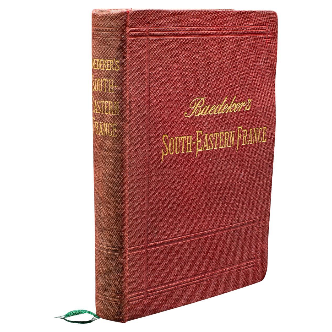
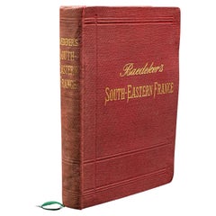
View AllSmall Antique Baedeker's South Eastern France Guide Book, Provence, Travel Maps
Located in Hele, Devon, GB
This is a delightful antique edition of Baedeker's South Eastern France guide book, complete with superb fold-out maps, centre-fold maps and informative text. A bound and intact late...
Category
Early 20th Century British Late Victorian Books
Materials
Paper
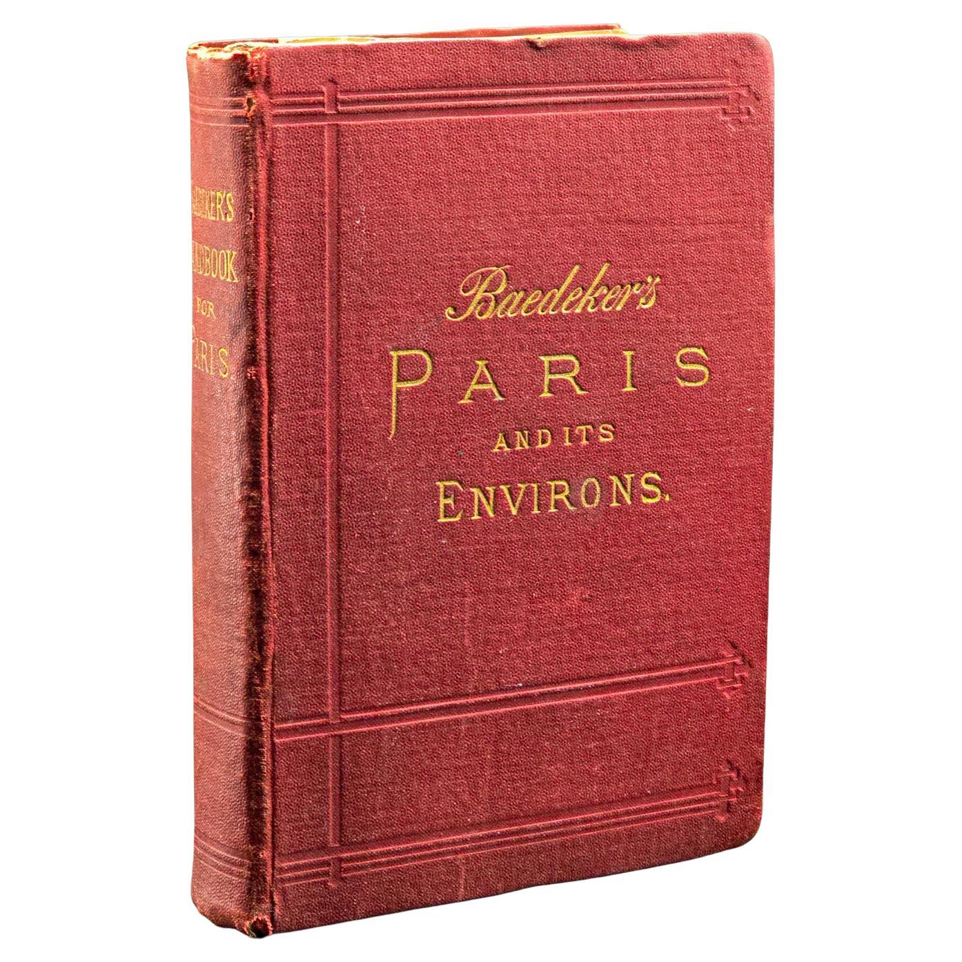
Antique Travel Book, Baedeker’s Paris and its Environs, Maps, Guide, Victorian
Located in Hele, Devon, GB
This is an antique copy of Baedeker’s Paris and its Environs, a bound and illustrated travel guide book, presented in its intact, original order with only light markings. A superb ex...
Category
Antique 1890s French Late Victorian Books
Materials
Paper

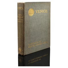
Antique Venice Art Book, Illustrated, Travel, Edwardian, Reginald Barratt, 1907
Located in Hele, Devon, GB
This is a charming antique copy of Venice, an illustrated art and travel book featuring the work of renowned British artist Reginald Barratt ARWS, published by Chatto & Windus, Londo...
Category
Early 20th Century British Edwardian Books
Materials
Paper
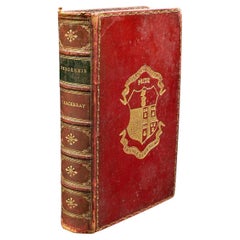
Antique Book, Pendennis, William Thackeray, Novel, Fiction, Edwardian, C.1908
Located in Hele, Devon, GB
This is a delightful antique edition of Pendennis, the classic novel by celebrated English author William Makepeace Thackeray. An illustrated, bound volume, retaining its original fo...
Category
Early 20th Century British Edwardian Books
Materials
Paper
Antique Paterson's Guide to Britain, English, Maps, Georgian, Published 1811
Located in Hele, Devon, GB
This is an antique copy of Paterson's New and Accurate guide to Direct & Principal Crossroads. An English, bound book of maps and descriptive tables, published in English by Longman,...
Category
Antique Early 19th Century British Georgian Books
Materials
Paper

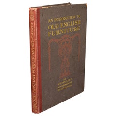
Antique Book, Old English Furniture, Illustrated, Reference, Edwardian, C.1910
Located in Hele, Devon, GB
This is an antique book 'Old English Furniture' by W E Mallett. An English language, illustrated reference guide, dating to the Edwardian period, circa 1910.
Full Title: An Introduc...
Category
Early 20th Century British Edwardian Books
Materials
Paper
You May Also Like
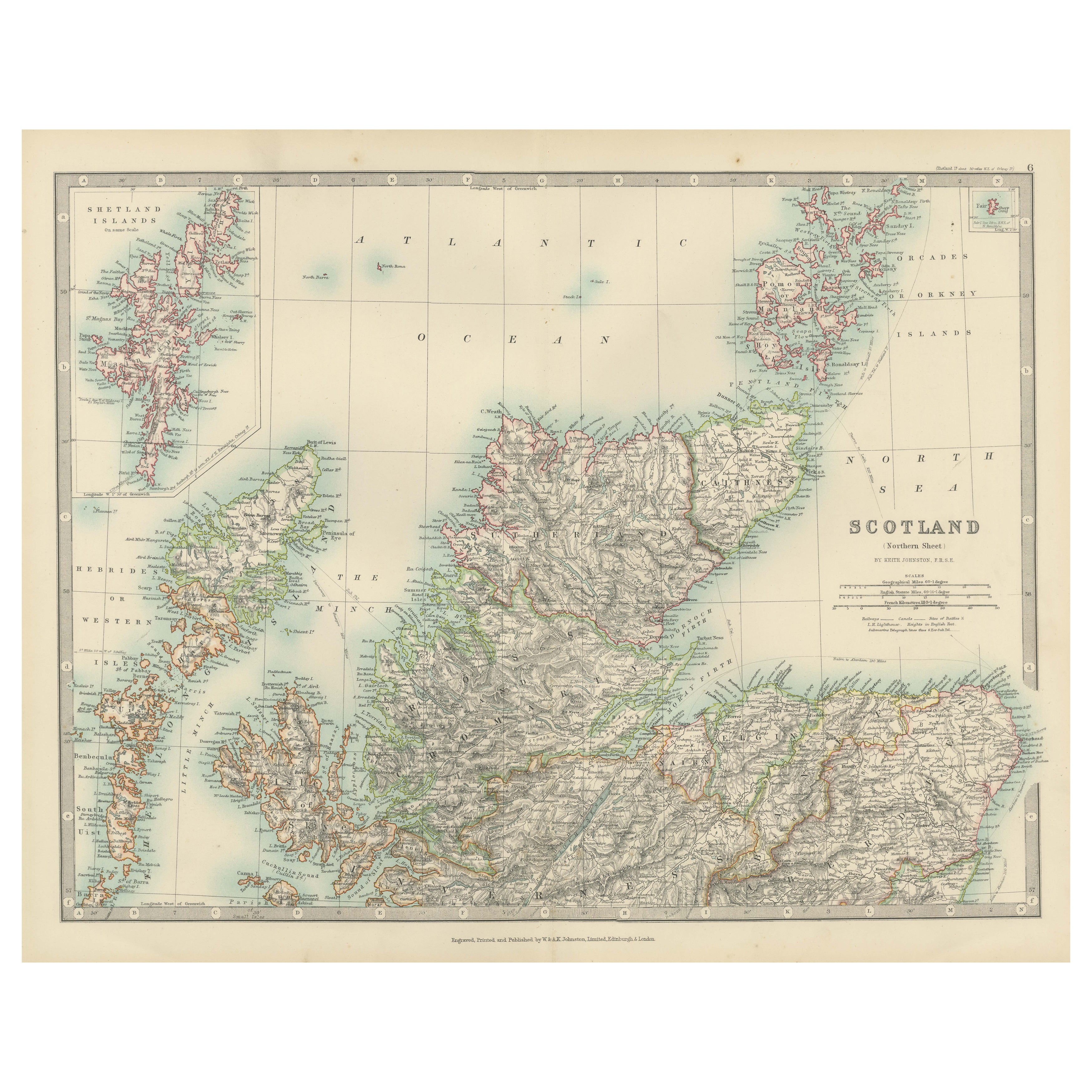
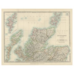
Antique Map of Northern Scotland, 1903, with Intricate Coastal Features
Located in Langweer, NL
Title: Antique Map of Northern Scotland and Islands, 1903, with Intricate Coastal Features
Description:
This striking antique map, titled "Scotland (Northern Sheet I)," was engraved...
Category
Early 20th Century Maps
Materials
Paper
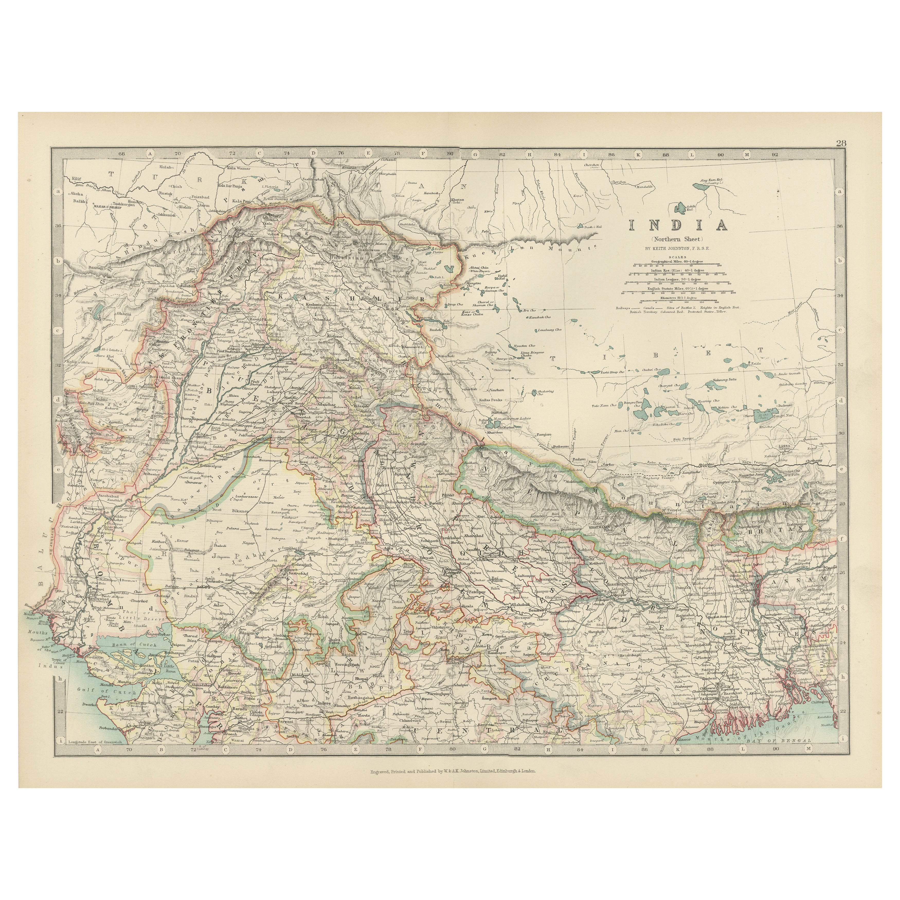
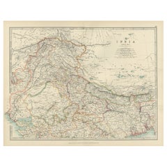
Antique Map of Northern India, Featuring Boundaries & Himalayan Detail, 1903
Located in Langweer, NL
Antique Map of Northern India, 1903, Featuring Provincial Boundaries and Himalayan Detail
This antique map, titled "India (Northern Sheet)," was engraved and published in 1903 by W....
Category
Early 20th Century Maps
Materials
Paper
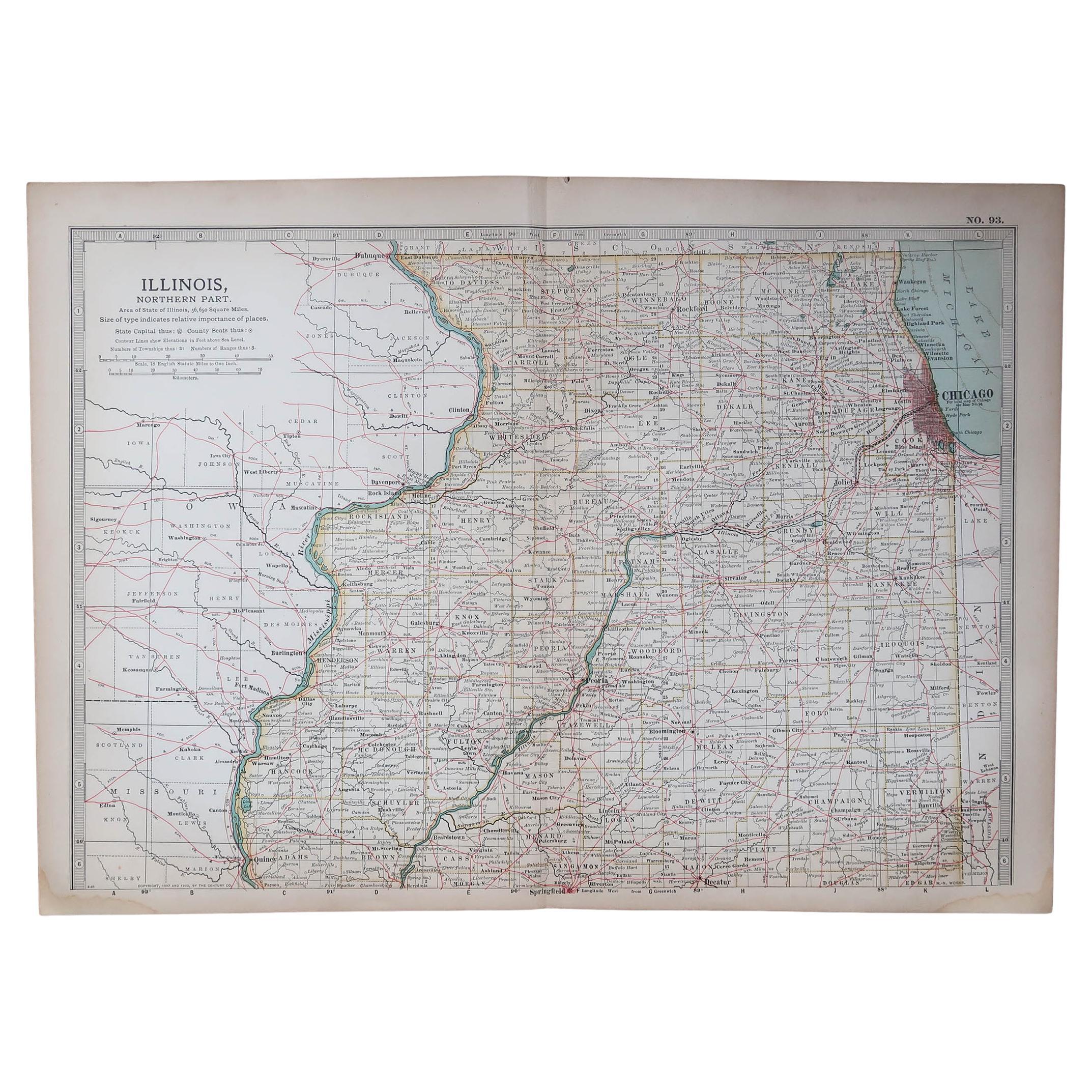
Original Antique Map of the American State of Illinois ( Northern Part ), 1903
Located in St Annes, Lancashire
Antique map of Illinois ( Northern part )
Published By A & C Black. 1903
Original colour
Good condition
Unframed.
Free shipping
Category
Antique Early 1900s English Maps
Materials
Paper

Original Antique Map of the American State of California ( Northern Part ), 1903
Located in St Annes, Lancashire
Antique map of California ( Northern part )
Published By A & C Black. 1903
Original colour
Good condition
Unframed.
Free shipping
Category
Antique Early 1900s English Maps
Materials
Paper

Original Antique Map of the American State of Michigan ( Northern Part ), 1903
Located in St Annes, Lancashire
Antique map of Michigan ( Northern part )
Published By A & C Black. 1903
Original colour
Good condition
Unframed.
Free shipping
Category
Antique Early 1900s English Maps
Materials
Paper

Original Antique Map of the American State of Missouri ( Northern part ), 1903
Located in St Annes, Lancashire
Antique map of Missouri ( Northern Part )
Published By A & C Black. 1903
Original colour
Good condition
Unframed.
Free shipping
Category
Antique Early 1900s English Maps
Materials
Paper
