Valuable "Romanum Missale" Missal from Printed in 1633 outside to restaure
View Similar Items

![[MISSAL]. Paroissien romain contenant les offices. IN A MOTHER-OF-PEARL BINDING](https://a.1stdibscdn.com/missal-paroissien-romain-contenant-les-offices-in-a-mother-of-pearl-binding-for-sale/f_62142/f_392522221712955420094/f_39252222_1712955420906_bg_processed.jpg)

1 of 10
Valuable "Romanum Missale" Missal from Printed in 1633 outside to restaure
About the Item
- Creator:Simonis Belgrand (Manufacturer)
- Dimensions:Height: 22.05 in (56 cm)Width: 14.57 in (37 cm)Depth: 5.52 in (14 cm)
- Style:Baroque (Of the Period)
- Materials and Techniques:
- Place of Origin:
- Period:Early 17th Century
- Date of Manufacture:1633
- Condition:Minor structural damages.
- Seller Location:Diest, BE
- Reference Number:1stDibs: LU271437502133
Authenticity Guarantee
In the unlikely event there’s an issue with an item’s authenticity, contact us within 1 year for a full refund. DetailsMoney-Back Guarantee
If your item is not as described, is damaged in transit, or does not arrive, contact us within 7 days for a full refund. Details24-Hour Cancellation
You have a 24-hour grace period in which to reconsider your purchase, with no questions asked.Vetted Professional Sellers
Our world-class sellers must adhere to strict standards for service and quality, maintaining the integrity of our listings.Price-Match Guarantee
If you find that a seller listed the same item for a lower price elsewhere, we’ll match it.Trusted Global Delivery
Our best-in-class carrier network provides specialized shipping options worldwide, including custom delivery.You May Also Like
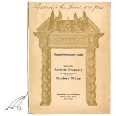
Valuable Artistic Property Belonging to the Estate of the Late Stanford White
Located in North Yorkshire, GB
This is the "Supplementary Sale" Catalogue of Valuable Artistc Property belonging to the Estate of Stanford White which took place on November 25th, 26th and 27th 1907 - Consisting o...
Category
Early 20th Century Books
Materials
Paper
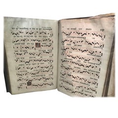
[MISSAL]. Paroissien romain contenant les offices. IN A MOTHER-OF-PEARL BINDING
Located in Hillsborough, NJ
AUTHOR: [MISSAL].
TITLE: Paroissien romain contenant les offices de tous les dimanches et des principales fetes de l'annee. (Roman Parishioner Containing the Services of All Sunday...
Category
Antique 1880s British Books
Materials
Mother-of-Pearl
![[MISSAL]. Paroissien romain contenant les offices. IN A MOTHER-OF-PEARL BINDING](https://a.1stdibscdn.com/missal-paroissien-romain-contenant-les-offices-in-a-mother-of-pearl-binding-for-sale/f_62142/f_392522221712955420094/f_39252222_1712955420906_bg_processed.jpg?width=240)
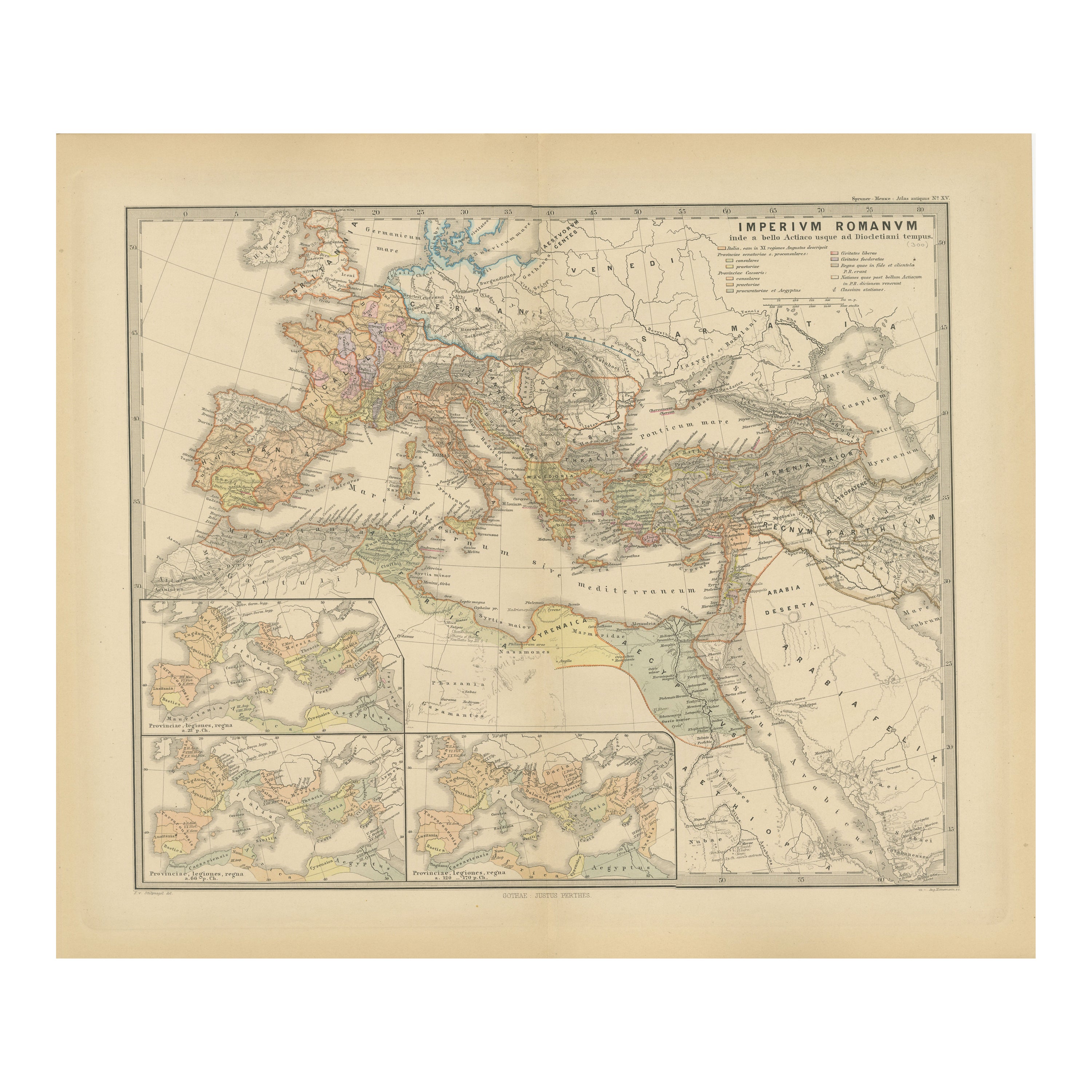
Imperium Romanum: A Detailed Map of the Roman Empire in its Zenith, 1880
Located in Langweer, NL
This original antique map, titled "IMPERIVM ROMANVM", is a detailed depiction of the Roman Empire at the height of its power. The main map encompasses the vast expanse of the Roman territories, stretching from the British Isles in the northwest to the deserts of Arabia and the northern fringes of Africa in the southeast.
**Key Features of the Map:**
1. **Territorial Colors**: The map uses different colors to distinguish the various provinces of the Roman Empire. These color-coded areas are to represent the administrative divisions within the Empire.
2. **Topography**: It shows a considerable amount of topographical detail, with mountain ranges, rivers, and bodies of water such as the Mediterranean Sea, prominently displayed.
3. **Cities and Settlements**: Cities are marked, with symbols indicative of their size or importance. Major cities such as Rome, Constantinople, Alexandria, and Carthage are highlighted.
4. **Road Networks**: There appear to be lines connecting various cities and towns, which could represent the famous Roman road network that facilitated trade and military movements.
5. **Latin Text...
Category
Antique 1880s Maps
Materials
Paper
$344 Sale Price
20% Off
Free Shipping
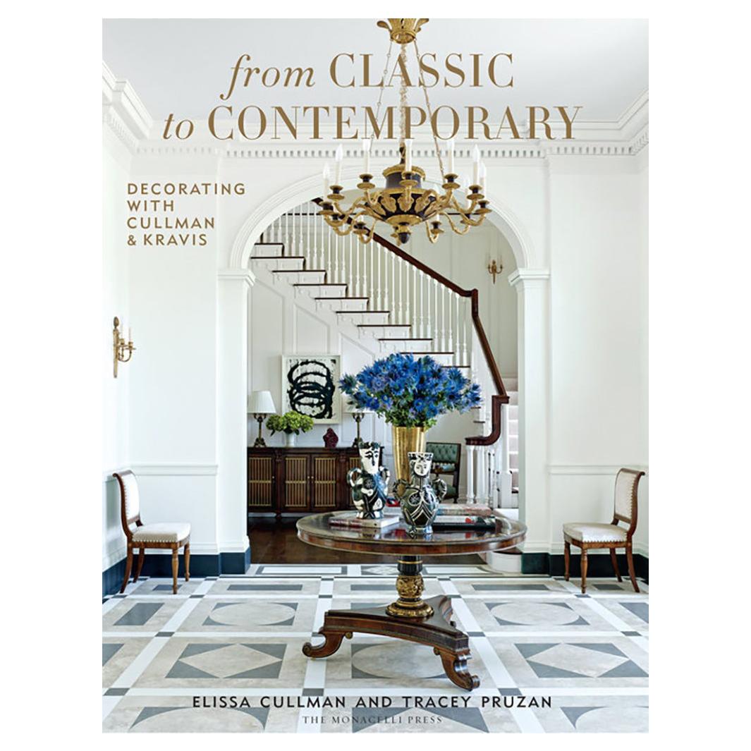
From Classic to Contemporary
By Phaidon
Located in New York, NY
Interior design firm Cullman & Kravis infuses traditional interiors with a modern perspective, embracing historicism and referencing a wide range of cultures and contemporary design ...
Category
2010s Chinese Books
Materials
Paper
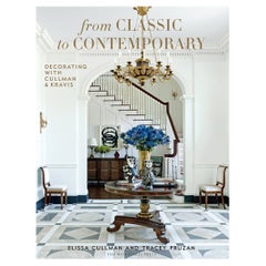
$65 / item
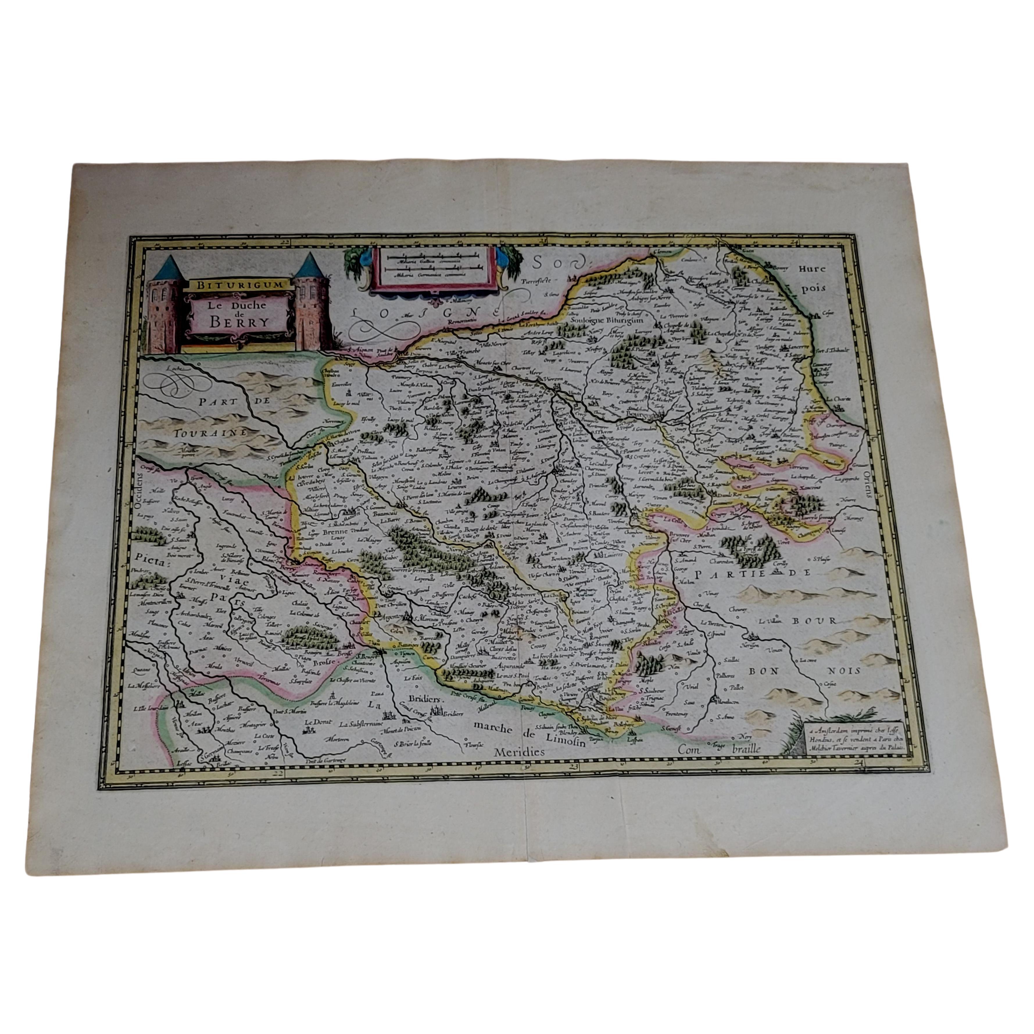
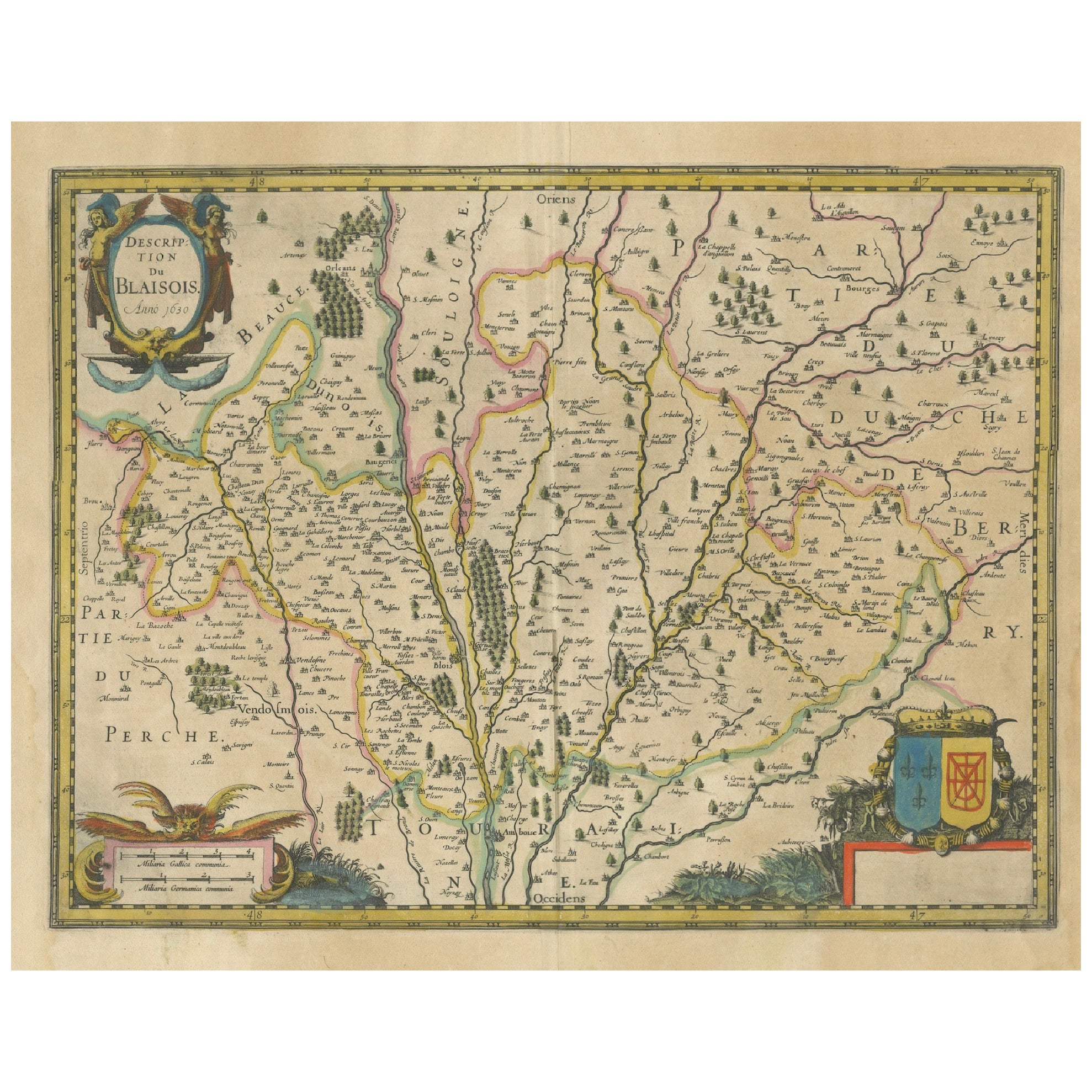
1633 Map, Entitled "La Douche De Berry, " Ric.0005
Located in Norton, MA
1633 map, entitled
"La douche de Berry,"
Hand Colored
Ric.0005
Description:
1633 map, entitled "La douche de Berry,"
Dimension: Paper: 23.3" W x 20.3" H (59 cm W x 51.7 c...
Category
Antique 17th Century Unknown Maps
Materials
Paper
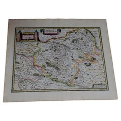
1633 Map Entitled "Beauvaisis Comitatus Belova Cium, Ric.0002
Located in Norton, MA
1633 map entitled
"Beauvaisis Comitatus Belova Cium,"
Hand Colored
Ric.0002
Description: Cartographer : - Hondius, Henricus 1587-1638
Artists and Engravers:Jodocus Hondius, one of the most notable engravers of his time. He is known for his work in association with many of the cartographers and publishers prominent at the end of the sixteenth and the beginning of the seventeenth century. A native of Flanders, he grew up in Ghent, apprenticed as an instrument and globe maker and map engraver. In 1584, to escape the religious troubles sweeping the Low Countries at that time, he fled to London where he spent some years before finally settling in Amsterdam about 1593. In the London period he came into contact with the leading scientists and geographers of the day and engraved maps in The Mariner\\\\\\\\\\\\\\\'s Mirrour, the English edition of Waghenaer\\\\\\\\\\\\\\\'s Sea Atlas, as well as others with Pieter van den Keere, his brother-in-law. No doubt his temporary exile in London stood him in good stead, earning him an international reputation, for it could have been no accident that Speed chose Hondius to engrave the plates for the maps in The Theatre of the Empire of Great Britaine in the years between 1605 and 1610. In 1604 Hondius bought the plates of Mercator\\\\\\\\\\\\\\\'s Atlas which, in spite of its excellence, had not competed successfully with the continuing demand for the Ortelius Theatrum Orbis Terrarum. To meet this competition Hondius added about 40 maps to Mercator\\\\\\\\\\\\\\\'s original number and from 1606 published enlarged editions in many languages, still under Mercator\\\\\\\\\\\\\\\'s name but with his own name as publisher. These atlases have become known as the Mercator/Hondius series. The following year the maps were reengraved in miniature form and issued as a pocket Atlas Minor. After the death of Jodocus Hondius the Elder in 1612, work on the two atlases, folio and miniature, was carried on by his widow and sons, Jodocus II and Henricus, and eventually in conjunction with Jan Jansson in Amsterdam.
In all, from 1606 onwards, nearly 50 editions with increasing numbers of maps with texts in the main European languages were printed. Summaries of these issues are given under the entry for Gerard Mercator. Jodocus Hondius the Elder * 1588 Maps in The Mariner\\\\\\\\\\\\\\\'s Mirrour (Waghenaer/Ashley) * 1590 World Map...
Category
Antique 17th Century Dutch Maps
Materials
Paper

Recently Viewed
View AllMore Ways To Browse
Cherub Wall Art
Coffee Table Slat Midcentury
Copper Outdoor Table
Cream Pedestal Table
Curved Dining Bench
Day Counter
Desk 8 Legs
Diana Glass
Dining Chairs Without Arms
Dining Room Buffet Console Table
Dining Room Extentable Table
Dining Tables 9 Feet
Double Sided Tables With Drawers
Egg Pot
English Blue White China
Flip Top Side Table
Folding Sofa Table
Forged Iron Chairs