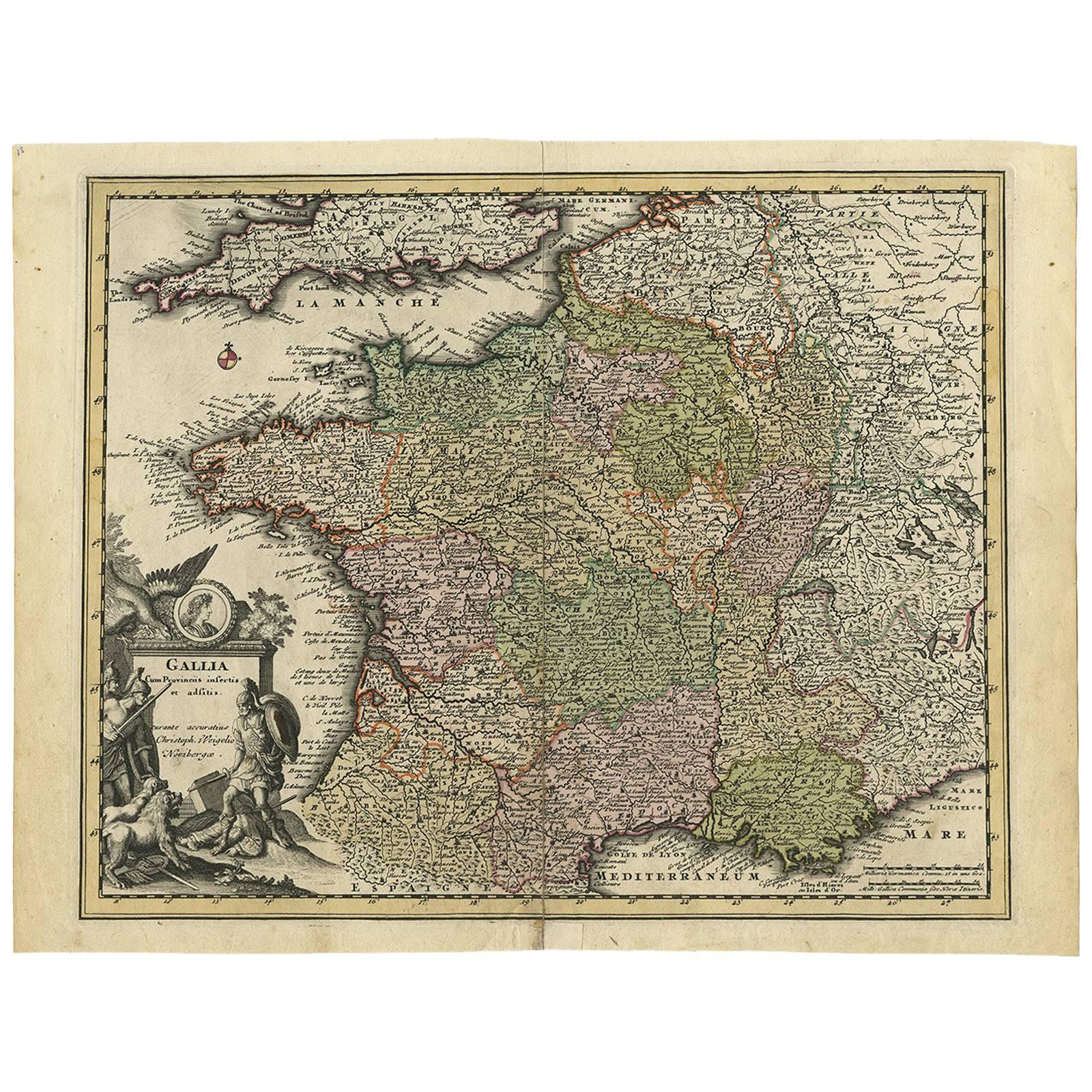
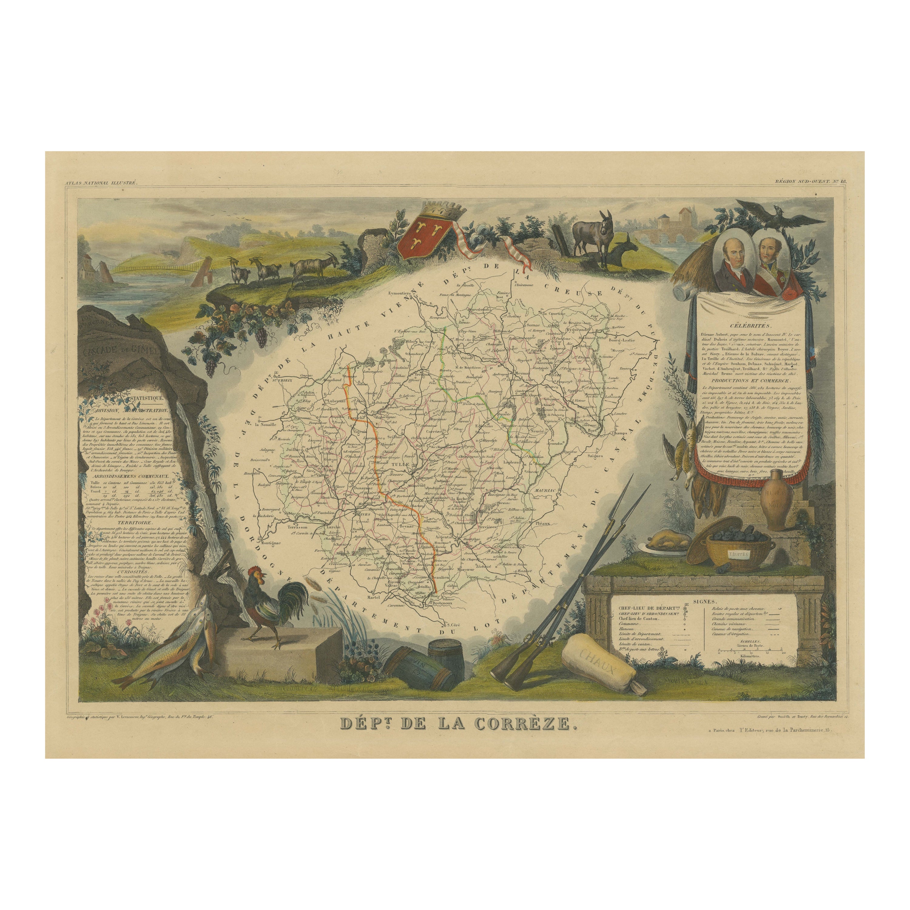
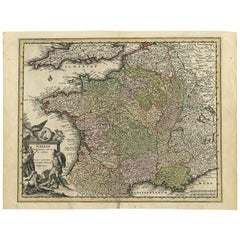
1719 Hand-Colored Map of France by John Senex
View Similar Items


Want more images or videos?
Request additional images or videos from the seller
1 of 2
1719 Hand-Colored Map of France by John Senex
About the Item
- Dimensions:Height: 28.75 in (73.03 cm)Width: 31.25 in (79.38 cm)Depth: 2 in (5.08 cm)
- Period:1710-1719
- Date of Manufacture:1719
- Condition:
- Seller Location:Colorado Springs, CO
- Reference Number:Seller: M0601stDibs: LU90973151052
About the Seller
4.9
Platinum Seller
These expertly vetted sellers are 1stDibs' most experienced sellers and are rated highest by our customers.
Established in 2010
1stDibs seller since 2011
400 sales on 1stDibs
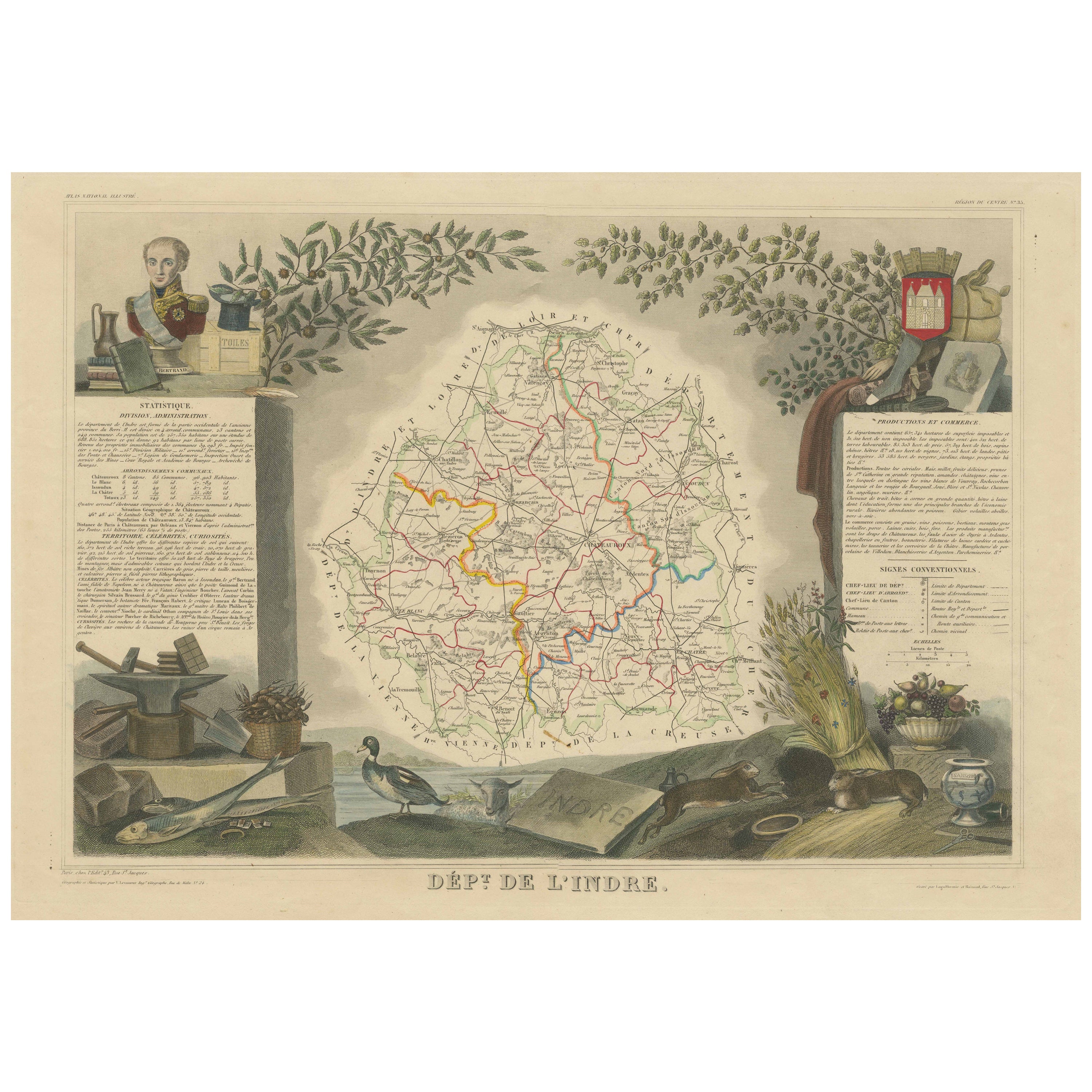
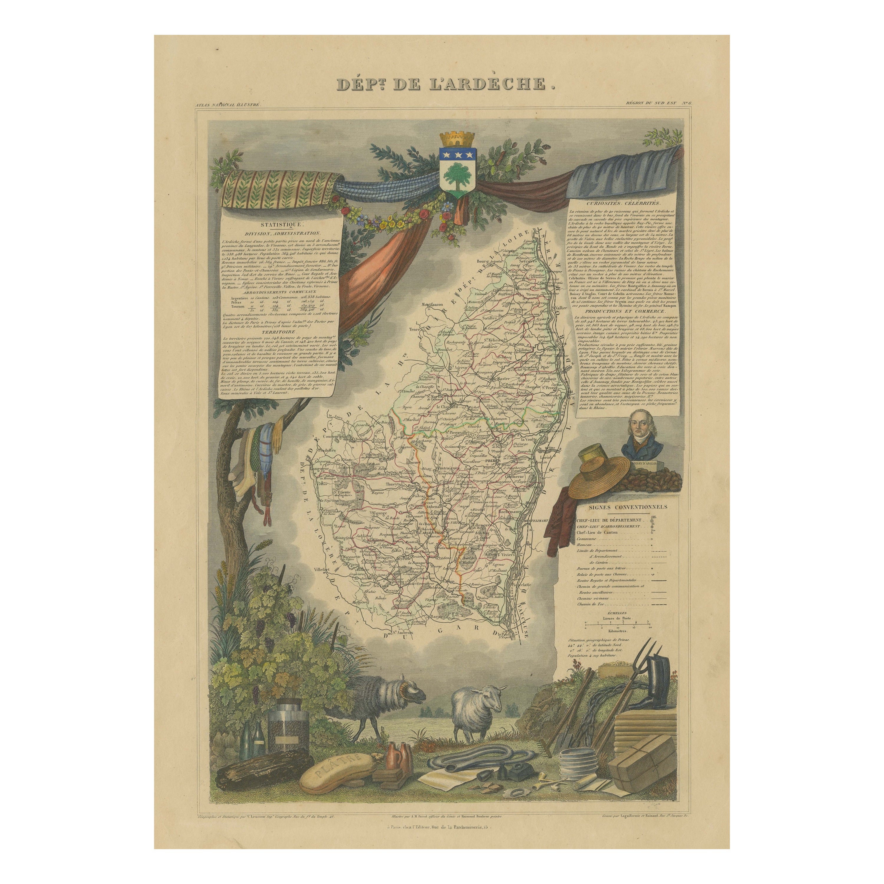
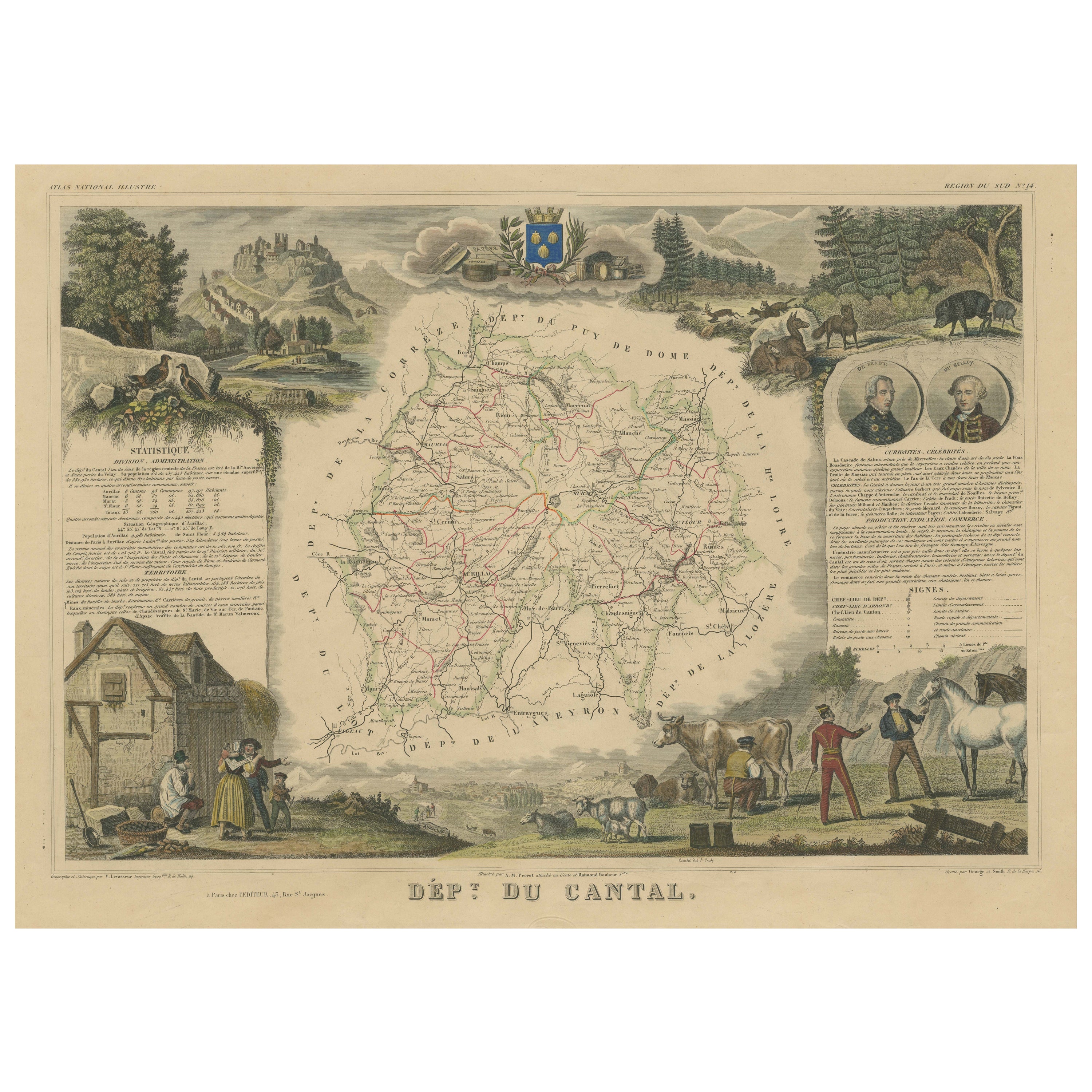
More From This SellerView All
- 1864 Map of North America, Antique Hand-Colored Map, by Adolphe Hippolyte DufourLocated in Colorado Springs, COOffered is a map of North America entitled Amerique du Nord from 1864. This rare, separately published wall map was produced by Adolphe Hippolyte Dufour. This map includes vibrant an...Category
Antique 1860s French Maps
MaterialsPaper
- 1847 “World at One View” Antique Hand-Colored Wall Map of the WorldLocated in Colorado Springs, COThis is a highly desirable hanging wall map of the "World at One View", published in 1847 by Ensign and Thayer, New York. This pictorial map was printed as a broadside and features...Category
Antique 19th Century American Maps
MaterialsPaper
- Plan of Paris, France, by A. Vuillemin, Antique Map, 1845Located in Colorado Springs, COThis large and detailed plan of Paris was published by Alexandre Vuillemin in 1845. The map conveys a wonderful amount of information and is decorated throughout with pictorial vigne...Category
Antique 1840s American Maps
MaterialsPaper
- 1861 Topographical Map of the District of Columbia, by Boschke, Antique MapLocated in Colorado Springs, COPresented is an original map of Albert Boschke's extremely sought-after "Topographical Map of the District of Columbia Surveyed in the Years 1856 ...Category
Antique 1860s American Historical Memorabilia
MaterialsPaper
- 1907 Map of Colorado, Antique Topographical Map, by Louis NellLocated in Colorado Springs, COThis highly detailed pocket map is a topographical map of the state of Colorado by Louis Nell from 1907. The map "has been complied from all availabl...Category
Antique Early 1900s American Maps
MaterialsPaper
- 1812 United States Map, by Pierre Tardieu, Antique French Map Depicting the U.S.By Pierre François TardieuLocated in Colorado Springs, CO1812 "United States of Nth America -- Carte des Etats-Unis De L'Amerique Septentrionale" Two-Sheet Map by Tardieu This attractive map, published in Paris in 1812, is one of the most rare large format maps from the period. It features a view of the East Coast of the U.S. from Maryland to just below South Carolina. Additionally, Ellicott’s plan for the City of Washington D.C. is included at the top right and an illustration of Niagara Falls is shown at the bottom right with a description in both French and English. This extremely detailed map not only depicts the mountainous regions of the southeastern U.S., but also includes names of regions, rivers, and towns. Based on the first state of Arrowsmith’s 4-sheet map of the United States, this map is completely engraved by Tardieu in Paris and showcases high quality engravings. This detailed map of the recently independent United States includes one of the largest and earliest examples of the Ellicott plan of Washington DC. The artist, Pierre François Tardieu (PF Tardieu) was a very well-known map engraver, geographer, and illustrator. Awarded a bronze medal by King Louis-Phillipe for the accuracy and beauty of his map-making, Tardieu produced many fine works including maps of Louisiana...Category
Antique 1810s French Maps
MaterialsPaper


You May Also Like
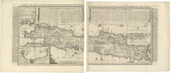
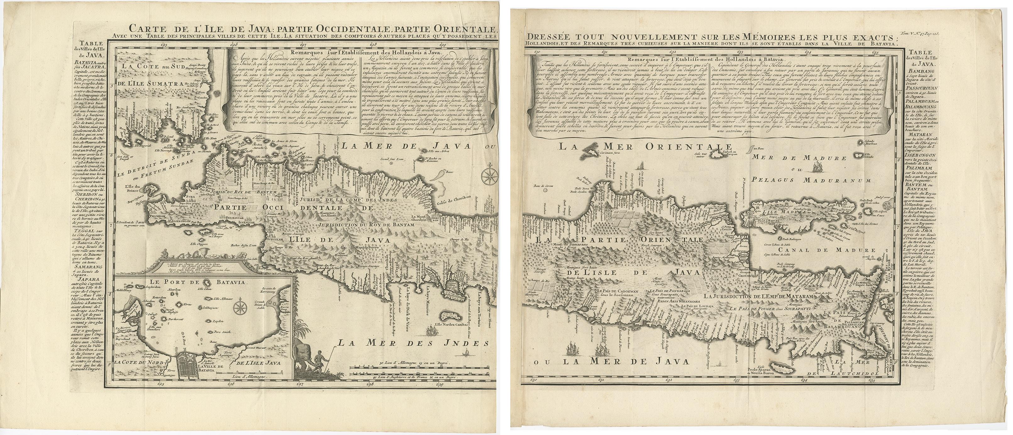
- Antique French Map of Java, Indonesia by Chatelain, '1719'Located in Langweer, NLAntique map titled 'Carte de l'Ile de Java: Partie Occidentale, Partie Orientale, Dressee tout Nouvellement Sur Les Memoires Les Plus Exacts (..)'. This beautiful map of Java (Indone...Category
Antique Early 18th Century Maps
MaterialsPaper
 $2,282 Sale Price25% Off
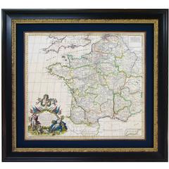
 - Original High Detailed Antique Map of France by C. Weigel, 1719By Christoph WeigelLocated in Langweer, NLAntique map titled 'Gallia'. This highly detailed map shows France divided up into its provinces. The map provides a lot of information on place names, rivers, mountains, etc. The ...Category
Antique Early 18th Century Maps
MaterialsPaper
 $186 Sale Price29% Off
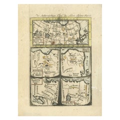
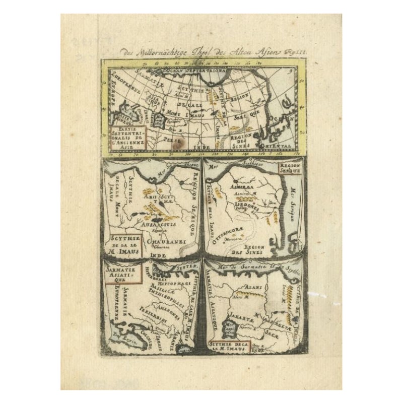
 - Antique Map of Northern Asia by Mallet, 1719Located in Langweer, NLAntique map titled 'Das Mitternächtige Theil des Alten Asien'. This sheet of five miniature maps describes the northern part of Asia in classical times, perhaps circa 150 AD. At the top, an overview map shows the main regions and territories, which are pictured in more detail below. From left to right, the four maps below depict Scythia east of the Imaus (Pamir) Mountains, Serica, Sychia west of the Pamir mountains, and Sarmatia, the last of which borders the Black Sea. Originates from Alain Manesson Mallet's 'Description de l 'Univers' (German edition). Artists and Engravers: Alain Manesson Mallet (1630-1706) was a French cartographer and engineer. He started his career as a soldier in the army of Louis XIV, became a Sergeant-Major in the artillery and an Inspector of Fortifications. He also served under the King of Portugal, before returning to France, and his appointment to the court of Louis XIV. His military engineering and mathematical background led to his position teaching mathematics at court. His major publications were Description de L'Univers (1683) in 5 volumes, and Les Travaux de Mars ou l'Art de la Guerre (1684) in 3 volumes. His Description de L'Universe contains a wide variety of information, including star maps...Category
Antique 18th Century Maps
MaterialsPaper
- Antique Map of Java 'Indonesia' by Chatelain, 1719Located in Langweer, NLAntique map titled 'Carte de l'Ile de Java: Partie Occidentale, Partie Orientale, Dressee tout Nouvellement Sur Les Memoires Les Plus Exacts (..)'. This beautiful map of Java exists ...Category
Antique Early 18th Century Maps
MaterialsPaper
- Antique Hand-Colored Map of France by J.B. Elwe, 1792Located in Langweer, NLAntique map titled 'Carte Nouvelle du Royaume de France'. Beautiful antique map of France, including the Southern part of England. Decorated with cartouche and 12 coats of arms.Category
Antique Late 18th Century Maps
MaterialsPaper

- Antique Map of the British Isles by H. Chatelain, 1719By Henri-Abraham ChatelainLocated in Langweer, NLBeautiful hand colored large format map of the British Isles, with large insets of the Eastern and Western Hemispheres and the coats of arms for Engl...Category
Antique Early 18th Century Maps
MaterialsPaper
 $611 Sale Price24% Off