Items Similar to 1917 "New Hudson River Map" by Wallace Bruce, Later Edition, Folding Map


Want more images or videos?
Request additional images or videos from the seller
1 of 11
1917 "New Hudson River Map" by Wallace Bruce, Later Edition, Folding Map
$550
£415.07
€475.19
CA$775.68
A$851.60
CHF 444.28
MX$10,305.58
NOK 5,568.40
SEK 5,246.89
DKK 3,547.18
About the Item
Presented is a 1917 printing of “New Hudson Map” by Wallace Bruce. The map was published by Bryant Union Publishing Co., in New York City. The map is a later edition, issued in a distinct strip-chart format that is over 100 inches long. The map includes amazing detail, compiled mostly from U.S. Coast Survey data. It is drawn on a scale of 1.5 miles per inch, allowing ample space for it to show historical landmarks, landings, islands, list prominent residents, and more. The verso is filled with related text and illustrations about the Hudson River valley. The map folds into cream paper wrappers, titled "Hudson River Map" in blue letters.
The Hudson River stretches approximately 315 miles from the Adirondack Mountains to New York Harbor and has played a crucial role in the history and development of the United States. Named after the English explorer Henry Hudson, who sailed its waters in 1609 while searching for a passage to Asia, the river quickly became a key artery for trade and exploration. Indigenous peoples, including the Mohicans, Mohawks, and Lenape, had long used the river for transportation and sustenance. During the colonial period, the Hudson served as a vital link between the interior of North America and the Atlantic Ocean. Its strategic importance was underscored during the Revolutionary War, when control of the river became a central military objective for both the British and American forces.
Later, the completion of the Erie Canal in 1825 connected the Hudson to the Great Lakes and transformed the river into a major commercial highway. This helped spur the growth of cities like Albany and New York. The scenic beauty of the river also inspired the Hudson River School, a distinctly American artistic movement that celebrated the natural landscape.
CONDITION:
Good condition overall. Folding map, as issued. Paper is clean and bright, with several small abrasions resulting in some minor loss of image. The map is enclosed in cream paper wrappers, with blue “Hudson River Map” printed title on the front. The wrapper has minor soiling. Map is sold unframed, as-is.
Map Dimensions: 107” H x 5 5/12” W.
Accompanied by the company's letter of authenticity.
- Dimensions:Height: 107 in (271.78 cm)Width: 5.41 in (13.75 cm)Depth: 0.1 in (2.54 mm)
- Style:Beaux Arts (Of the Period)
- Materials and Techniques:
- Place of Origin:
- Period:1910-1919
- Date of Manufacture:1917
- Condition:Wear consistent with age and use.
- Seller Location:Colorado Springs, CO
- Reference Number:Seller: M2461stDibs: LU909746084102
About the Seller
4.9
Vetted Professional Seller
Every seller passes strict standards for authenticity and reliability
Established in 2010
1stDibs seller since 2011
464 sales on 1stDibs
- ShippingRetrieving quote...Shipping from: Colorado Springs, CO
- Return Policy
Authenticity Guarantee
In the unlikely event there’s an issue with an item’s authenticity, contact us within 1 year for a full refund. DetailsMoney-Back Guarantee
If your item is not as described, is damaged in transit, or does not arrive, contact us within 7 days for a full refund. Details24-Hour Cancellation
You have a 24-hour grace period in which to reconsider your purchase, with no questions asked.Vetted Professional Sellers
Our world-class sellers must adhere to strict standards for service and quality, maintaining the integrity of our listings.Price-Match Guarantee
If you find that a seller listed the same item for a lower price elsewhere, we’ll match it.Trusted Global Delivery
Our best-in-class carrier network provides specialized shipping options worldwide, including custom delivery.More From This Seller
View All1855 "New-York City & County Map" by Charles Magnus
By Charles Magnus
Located in Colorado Springs, CO
This is a beautiful hand-colored map titled “New York City & County Map with Vicinity entire Brooklyn, Williamsburgh, Jersey City &c.” The work was published in 1855 by Charles Magnu...
Category
Antique 1850s American Maps
Materials
Paper

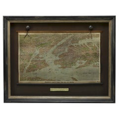
1912 "Panoramic View of New York City and Vicinity" by Jacob Ruppert
Located in Colorado Springs, CO
This is an attractive and very scarce map of New York, published by the Yorkville brewer Jacob Ruppert in 1912. The map shows an expansive view of the region reaching from Sandy Hook in the south and Yonkers to the north, to Hicksville in the east and past Newark to the west. This beautifully colored birds eye view shows waterways with all shipping traffic, boroughs, and clearly labeled railroad routes. It is presented on period dowels and backed on its original linen.
Jacob Ruppert was born in New York City in 1842 to Bavarian immigrants. His father owned a brewery in Manhattan where young Jacob learned the business of brewing. In 1862, Jacob established the Jacob...
Category
Vintage 1910s American Maps
Materials
Paper
1868 "Lloyd's Topographical Railway Map of North America..." Hanging Wall Map
Located in Colorado Springs, CO
Presented is “Lloyd's Topographical Railway Map of North-America, or the United States Continent in 1900.” This map was published by J. T. Lloyd, in New York, in 1868. A large, hangi...
Category
Antique 1860s American Late Victorian Maps
Materials
Linen, Paper

1840 "New Map of the City of New York With Part of Brooklyn & Williamsburg"
Located in Colorado Springs, CO
Presented is a hand-colored, engraved folding map titled "New Map of the City of New York With Part of Brooklyn & Williamsburg" by J. Calvin Smith. The map was issued bound in the bo...
Category
Antique 1840s American Maps
Materials
Paper

1864 Map of North America, Antique Hand-Colored Map, by Adolphe Hippolyte Dufour
Located in Colorado Springs, CO
Offered is a map of North America entitled Amerique du Nord from 1864. This rare, separately published wall map was produced by Adolphe Hippolyte Dufour. This map includes vibrant an...
Category
Antique 1860s French Maps
Materials
Paper

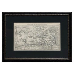
1919 "Chicago and Northwestern Railway" Map by P. F. Collier & Son
Located in Colorado Springs, CO
Presented is an antique Chicago and Northwestern Railway map from 1919. This small map is from The Gazetteer of American Railroads section of Collier’s New World Atlas and Gazetteer....
Category
Vintage 1910s American Art Deco Maps
Materials
Paper
You May Also Like
Original Antique Map of the American State of New York ( Southern Part ) 1903
Located in St Annes, Lancashire
Antique map of New York ( Southern Part )
Published By A & C Black. 1903
Original colour
Good condition
Unframed.
Free shipping
Category
Antique Early 1900s English Maps
Materials
Paper

Original Antique Map of the American State of New York ( Western Part ) 1903
Located in St Annes, Lancashire
Antique map of New York ( Western Part )
Published By A & C Black. 1903
Original colour
Good condition
Unframed.
Free shipping
Category
Antique Early 1900s English Maps
Materials
Paper

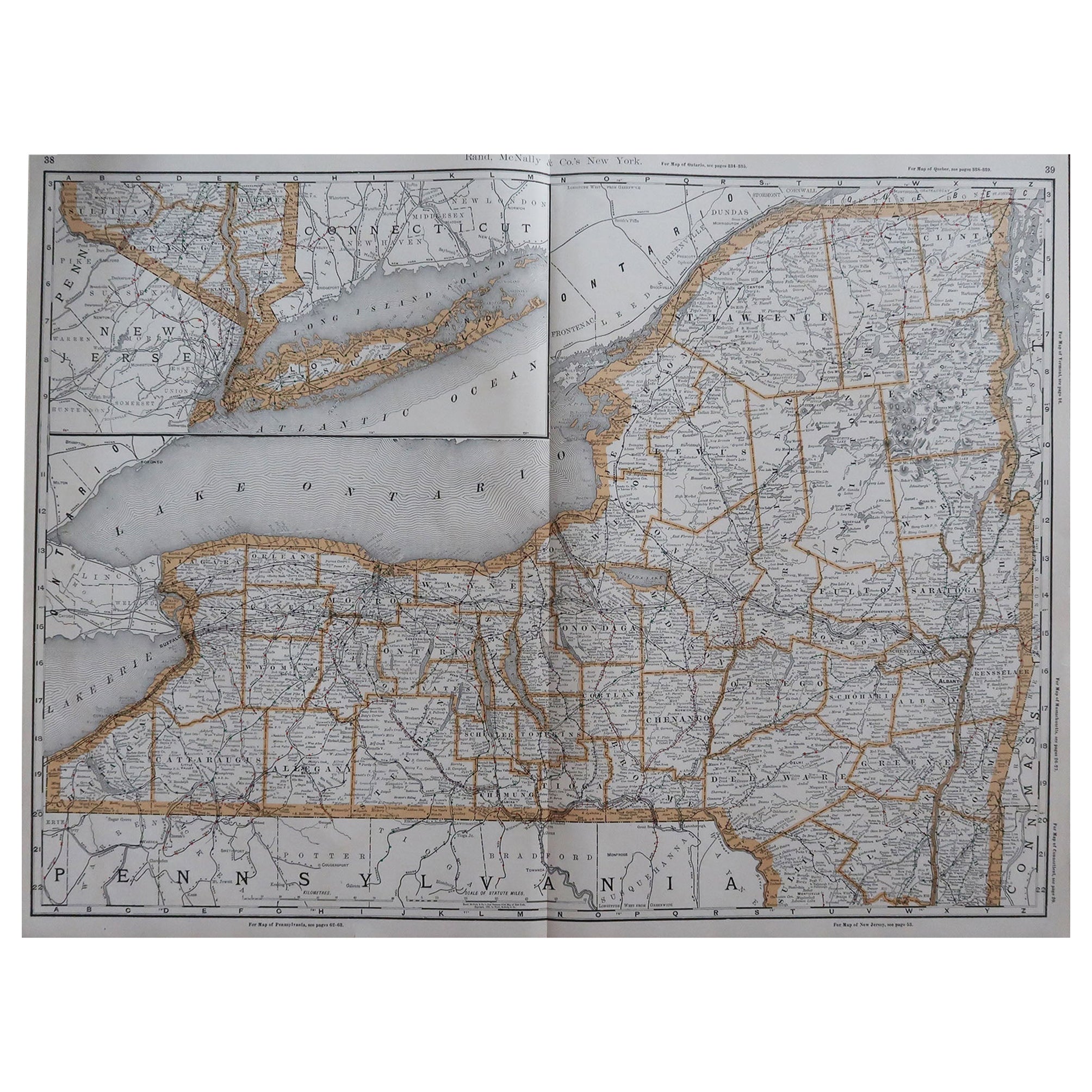
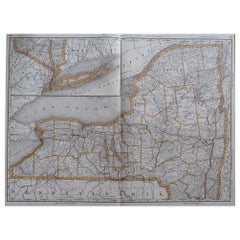
Large Original Antique Map of New York, USA, 1894
By Rand McNally & Co.
Located in St Annes, Lancashire
Fabulous map of New York.
Original color.
By Rand, McNally & Co.
Published, 1894
Unframed
Free shipping.
Category
Antique 1890s American Maps
Materials
Paper
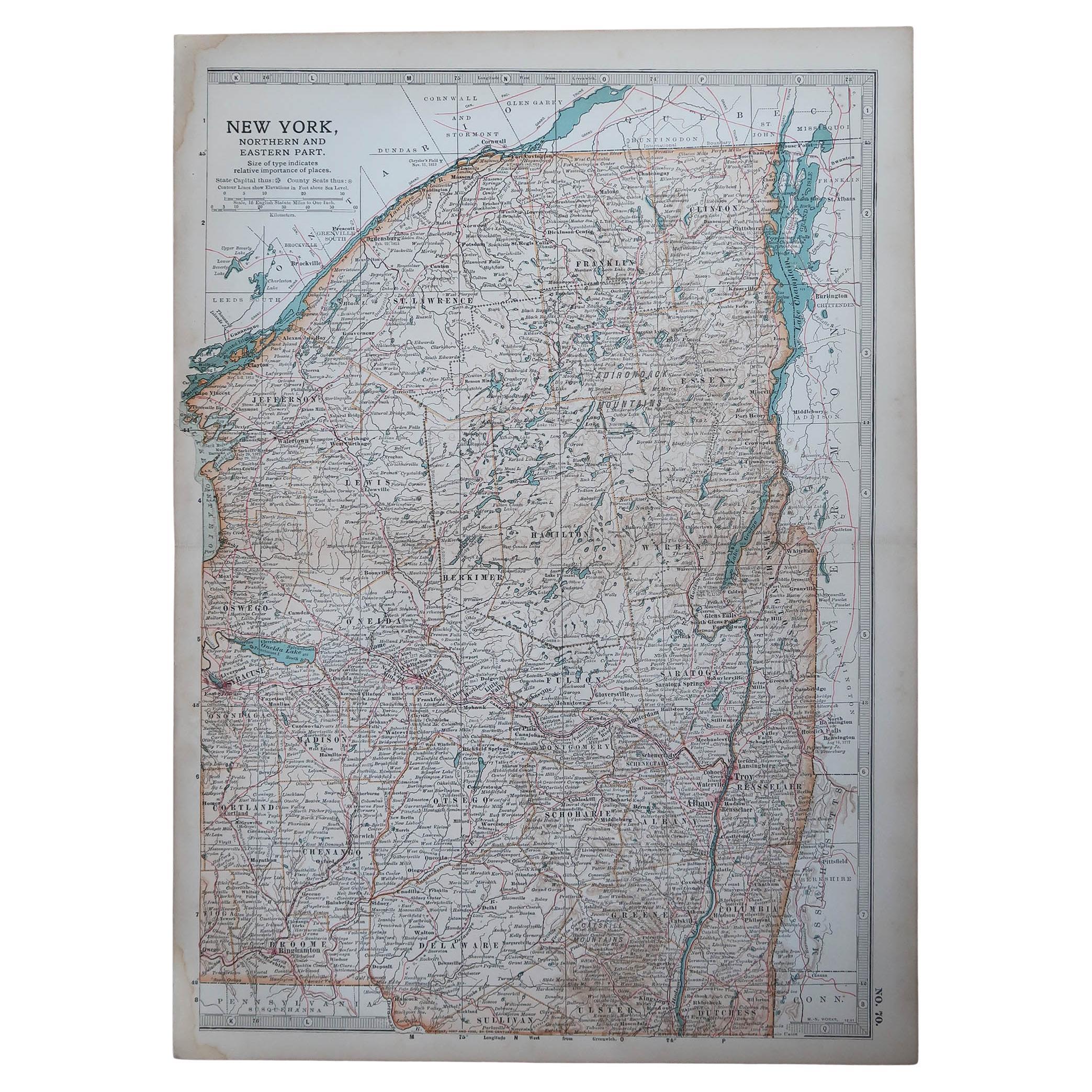
Original Antique Map of the American State of New York ( Northern Part ) 1903
Located in St Annes, Lancashire
Antique map of New York ( Northern Part )
Published By A & C Black. 1903
Original colour
Good condition
Unframed.
Free shipping
Category
Antique Early 1900s English Maps
Materials
Paper

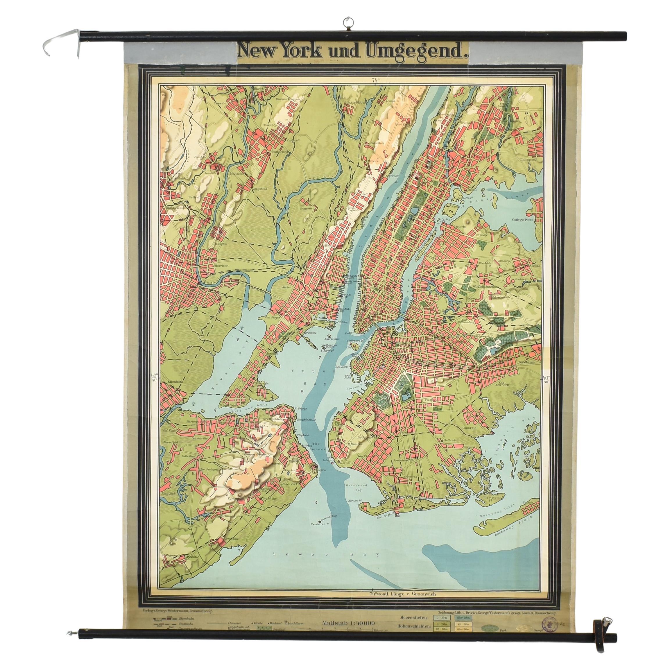
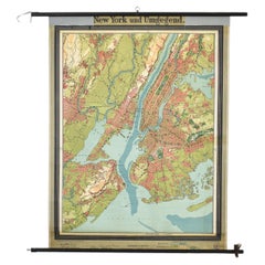
Antique New York Wall Map by Westermann
By Westermann
Located in Stockbridge, GB
Antique New York Map By Westermann
A rare early school pull down wall map of New York. The map shows the city of New York and its suburbs. Prin...
Category
Mid-20th Century British Schoolhouse Posters
Materials
Canvas, Wood
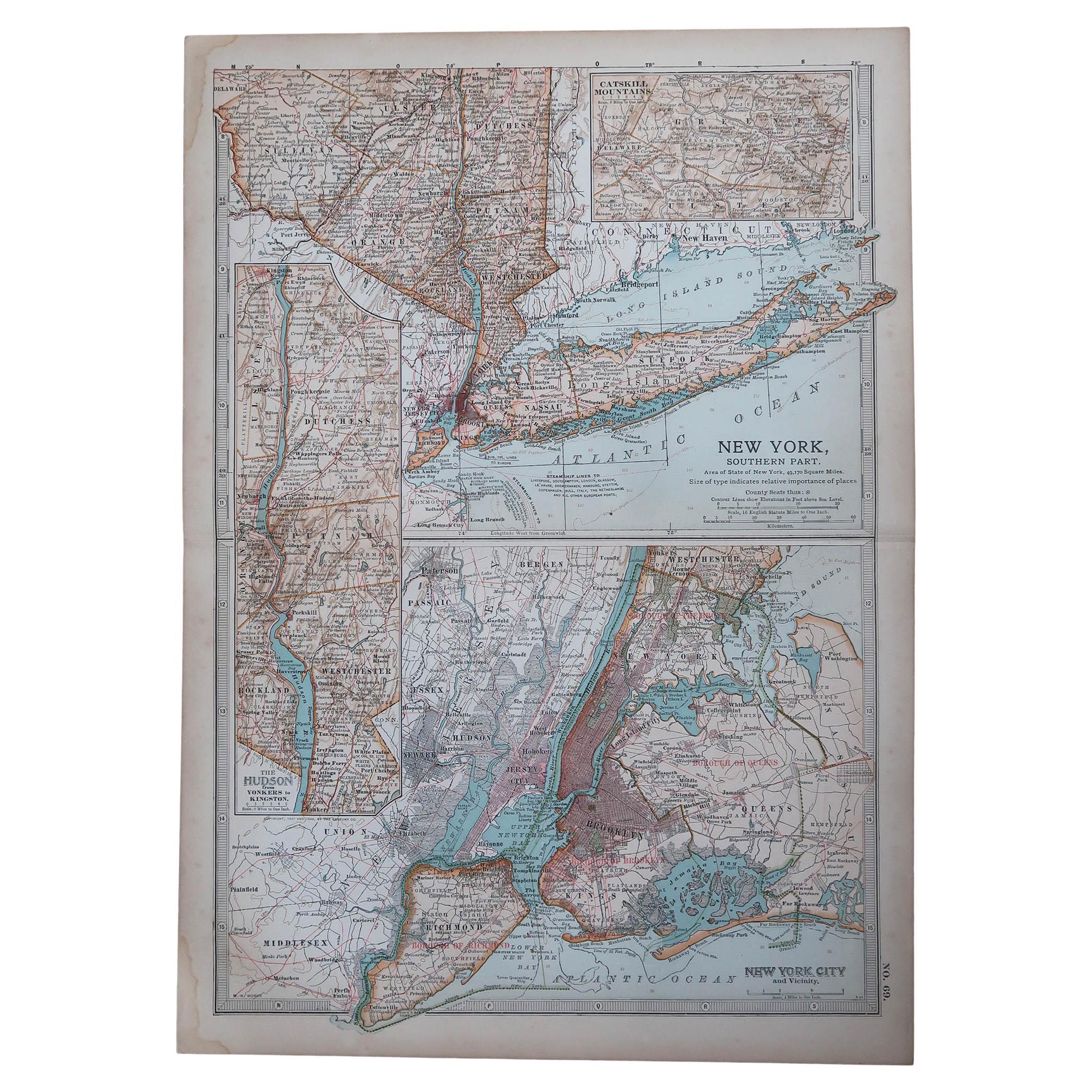
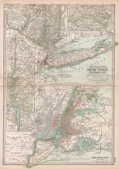
New York. Southern Part. USA. Century Atlas state antique vintage map
Located in Melbourne, Victoria
'The Century Atlas. New York. Southern Part.'
Original antique map, 1903.
Inset maps of 'New York City and Vicinity' and 'The Hudson'.
Central fold as issued. Map name and number p...
Category
Early 20th Century Victorian More Prints
Materials
Lithograph
More Ways To Browse
Wallace Antique
1917 Furniture
Hudson Valley Antique
Henry Waters
Beni Ourain Rugs
Glass Top Wood Base Coffee Tables
T Chair
Pair Of Danish Chairs
Veneer Dining Tables
1970 Italian Armchair
Furniture Uk
House Of Denmark Table And Chairs
Louis Marble Top Side Table
Antique Russian Rugs
Baker Furniture By
For Kids
Sterling Silver Flatware Set Service For 12
Tufted Bar