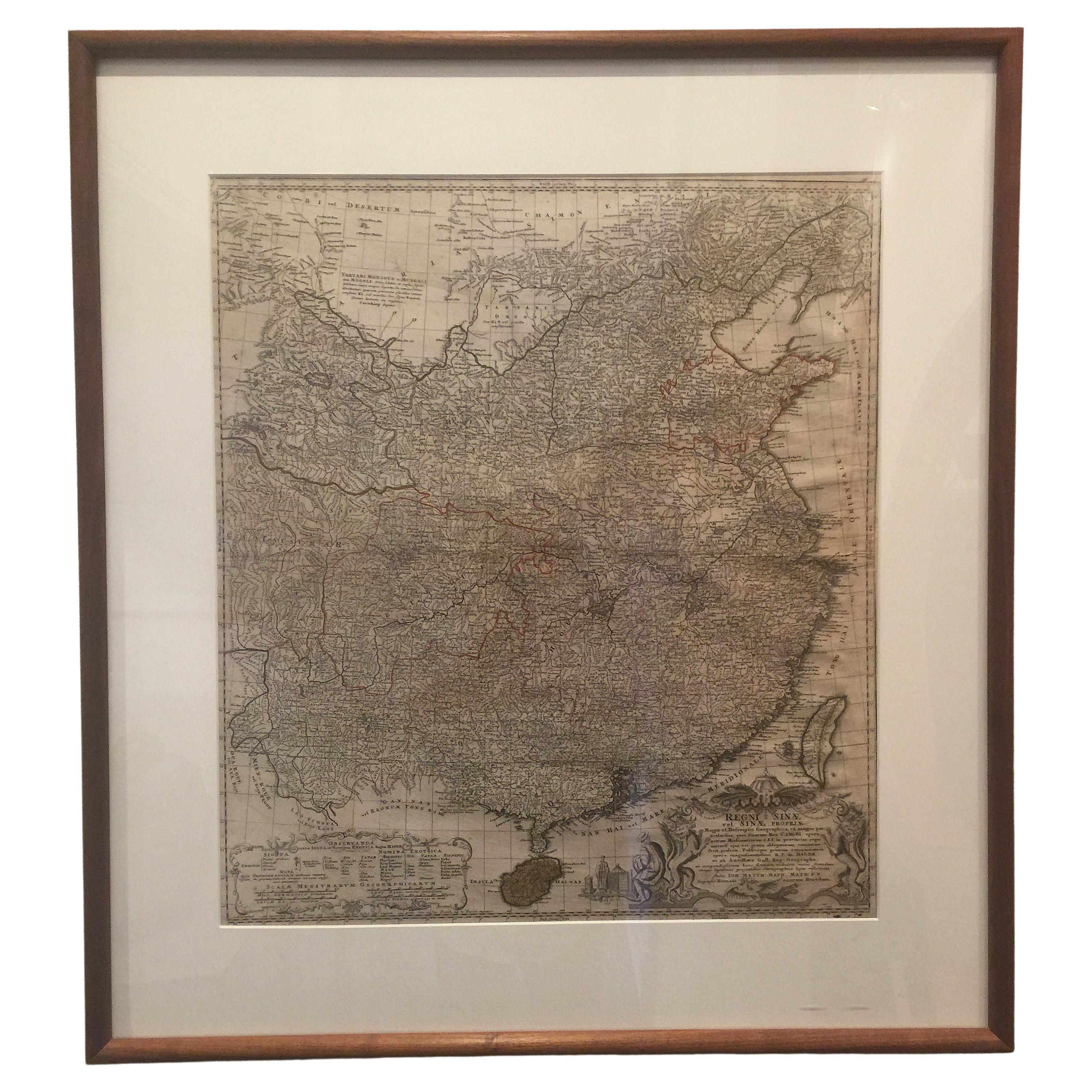
22-Karat Gold Leaf Framed Map of Napoleon's Empire, 1811
View Similar Items


1 of 11
22-Karat Gold Leaf Framed Map of Napoleon's Empire, 1811
About the Item
- Creator:J. Wyld (Maker)
- Dimensions:Height: 30 in (76.2 cm)Width: 44 in (111.76 cm)Depth: 1 in (2.54 cm)
- Style:Neoclassical (Of the Period)
- Materials and Techniques:Gold Leaf,Hand-Crafted
- Place of Origin:
- Period:
- Date of Manufacture:1839
- Condition:Wear consistent with age and use. Recently framed in beautiful hand-leafed in 22 karat goldleaf with ochre painted sides.
- Seller Location:Pataskala, OH
- Reference Number:Seller: DD170271stDibs: LU3050310467901
You May Also Like
- Napoléon's Footbath by George BullockBy George BullockLocated in New Orleans, LAThis amazing footbath was created for Napoleon Bonaparte. It was part of the toilet service to be used during his exile on St. Helena. Just before shipm...Category
Antique Early 19th Century English Empire Historical Memorabilia
MaterialsPorcelain
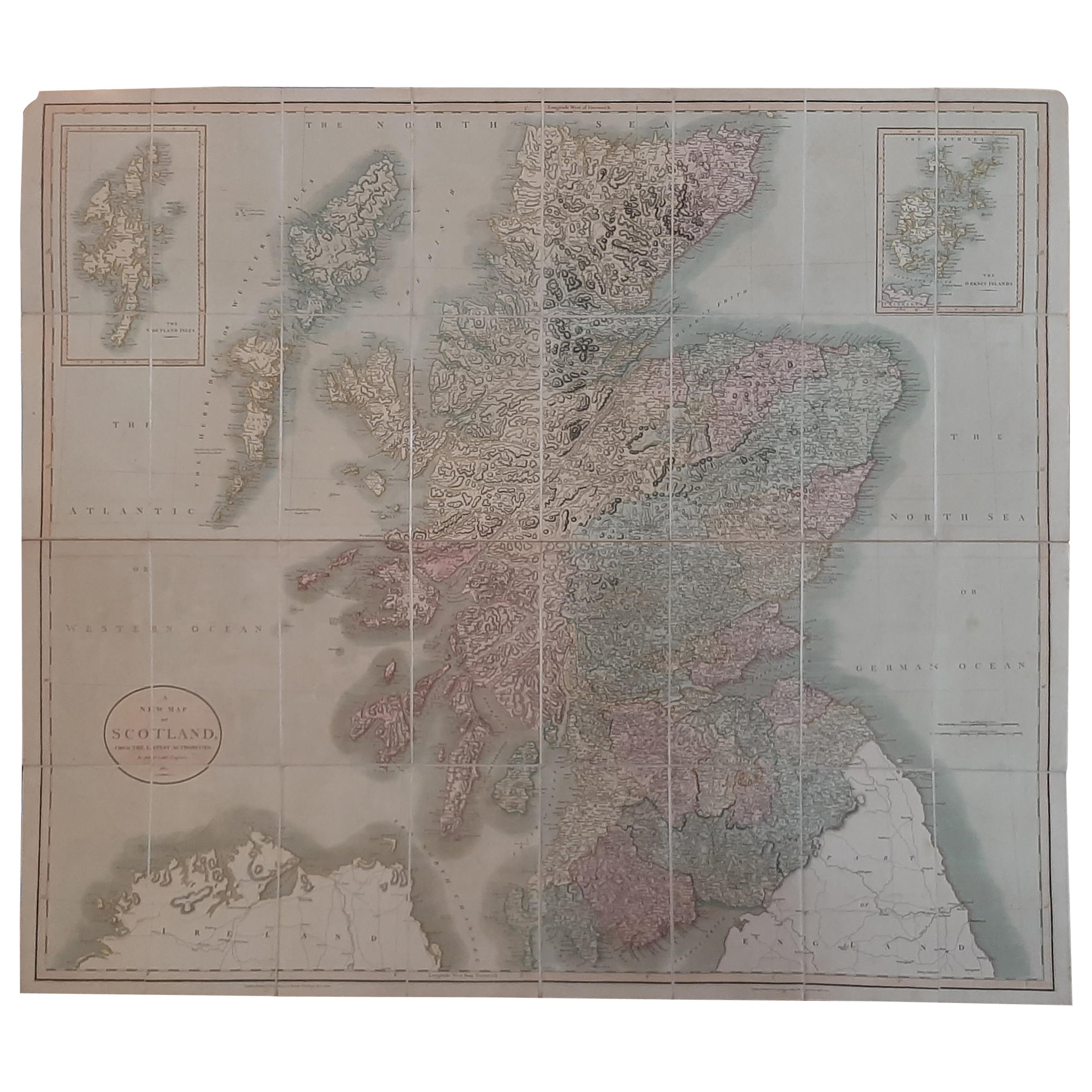
- Antique Map of Scotland by Cary, '1811'Located in Langweer, NLAntique map titled 'A New Map of Scotland from the Latest Authorities': **Title**: A New Map of Scotland from the Latest Authorities **Publisher**: J....Category
Antique Early 19th Century Maps
MaterialsLinen, Paper
 $701 Sale Price20% Off
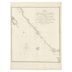
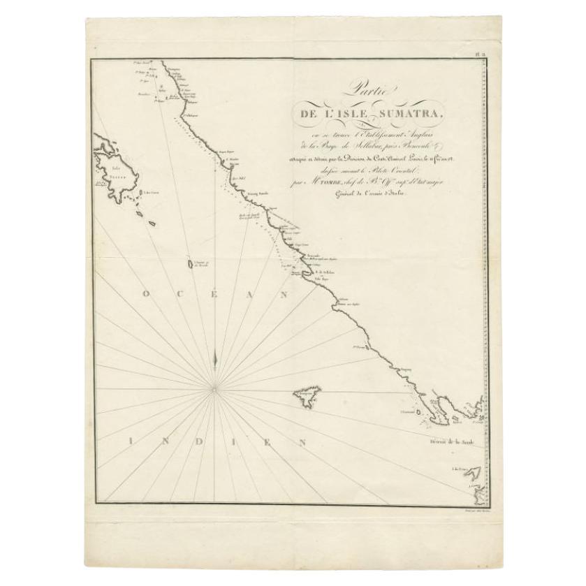
 - Antique Map of Sumatra by Tardieu, 1811Located in Langweer, NLAntique map Sumatra titled 'Partie de l'Isle Sumatra'. Part of the Island of Sumatra, where the English settlement of the Bay of Sellabar near Bencoute can...Category
Antique 19th Century Maps
MaterialsPaper
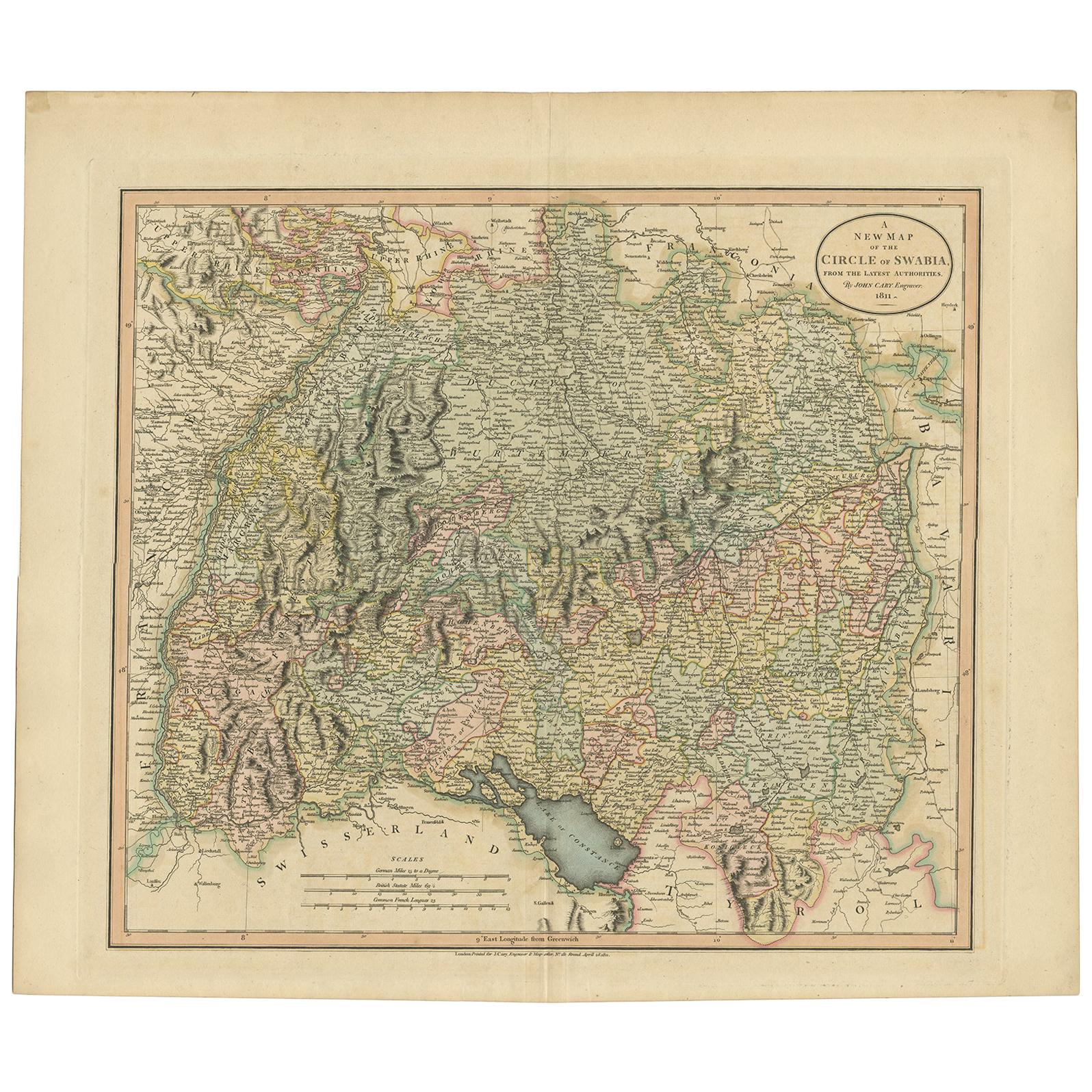
- Antique Map of Franconia, a region of Germany, '1811'By John CaryLocated in Langweer, NLAntique map titled 'A New Map of the Circle of Franconia'. Detailed map of Franconia in Northwestern Germany. Covers from Upper Saxony south to Swabia, west to the Lower Rhine and we...Category
Antique Early 19th Century Maps
MaterialsPaper
 $219 Sale Price20% Off
 - Antique Map of Bavaria and Salzburg by Cary, 1811By John CaryLocated in Langweer, NLAntique map titled 'A New Map of the Circle of Bavaria'. Antique map of Bavaria and Salzburg, Germany. Covers the Duchy of Bavaria and the mountainous A...Category
Antique Early 19th Century Maps
MaterialsPaper
 $219 Sale Price20% Off
 - Antique Map of South America by Wyld, circa 1850By J. WyldLocated in Langweer, NLBeautiful folding map of South America titled 'Colombia Prima or South America Drawn from the Large Map in Eight Sheets by Louis Stanislas D ' Arcy Delarochette'. Three insets in the...Category
Antique Mid-19th Century British Maps
MaterialsPaper