Items Similar to Antique Map of Tartary and Northeast Asia with Hand Coloring


Want more images or videos?
Request additional images or videos from the seller
1 of 6
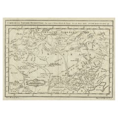
Antique Map of Tartary and Northeast Asia with Hand Coloring
About the Item
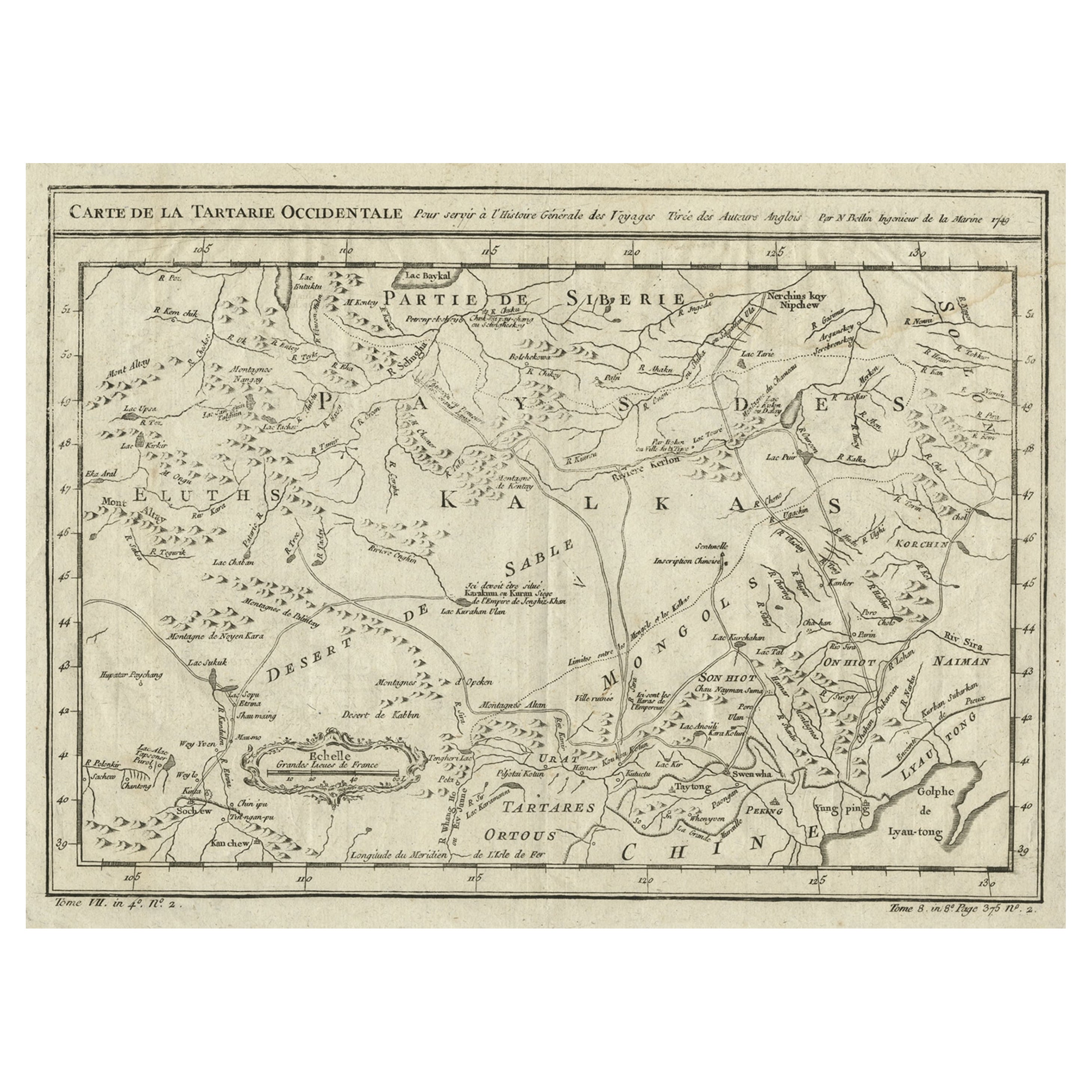
Antique map titled 'Carte de la Tartarie Occidentale'. An interesting map of Tartary and northeast Asia, from Lake Baykal, Partie du Siberia in the north, Pays des Kalkas at the center, as well as Desert de Sable, and down to Chine and the Gulf de Lyau-tong. Prepared by Jacques Nicolas Bellin after Dutch sources and included in Prévost d' Exile's "Histoire des Voyages", published between 1738-1775.
Jacques Nicolas Bellin (1703-1772) was one of the most important and proficient French cartographers of the mid-eighteenth century. He was appointed the first Ingenieur Hydrographe de la Marine, and also Official Hydrographer to the French King. Bellin also produced a substantial number of important separately issued maps, particularly reflecting continuing discoveries and political events in the Americas. His maps and charts were finely engraved and produced, and set a high standard of accuracy.
- Dimensions:Height: 12.92 in (32.8 cm)Width: 16.34 in (41.5 cm)Depth: 0.2 in (5 mm)
- Materials and Techniques:
- Period:
- Date of Manufacture:c.1750
- Condition:General age-related toning. Original folding lines. Shows some creasing, mainly in corners. Passepartout included. Please study image carefully.
- Seller Location:Langweer, NL
- Reference Number:
About the Seller
5.0
Platinum Seller
These expertly vetted sellers are 1stDibs' most experienced sellers and are rated highest by our customers.
Established in 2009
1stDibs seller since 2017
1,922 sales on 1stDibs
Typical response time: <1 hour
- ShippingRetrieving quote...Ships From: Langweer, Netherlands
- Return PolicyA return for this item may be initiated within 14 days of delivery.
More From This SellerView All
- Antique Map of Tartary and Northeast Asia, c.1750Located in Langweer, NLAntique map titled 'Carte de la tartarie occidentale'. An interesting map of Tartary and northeast Asia, from Lake Baykal, Partie du Siberia in the north, Pays des Kalkas at the cent...Category
Antique 18th Century Maps
MaterialsPaper
- Interesting Antique Map of Tartary and Northeast Asia, 1749Located in Langweer, NLCondition: Good, given age. Original folds, as issued. Some small water stains above image and top-right. Please study scan carefully.Category
Antique 1740s Maps
MaterialsPaper
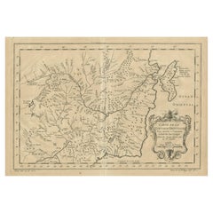
- Antique Map of Tartary and Northeast Asia by Bellin, circa 1750By Jacques-Nicolas BellinLocated in Langweer, NLAntique map titled 'Carte de la Tartarie Occidentale'. Map of Tartary and northeast Asia, from Lake Baykal, Partie du Siberia in the north, Pays des Kalkas at the center, as well as ...Category
Antique Mid-18th Century European Maps
MaterialsPaper
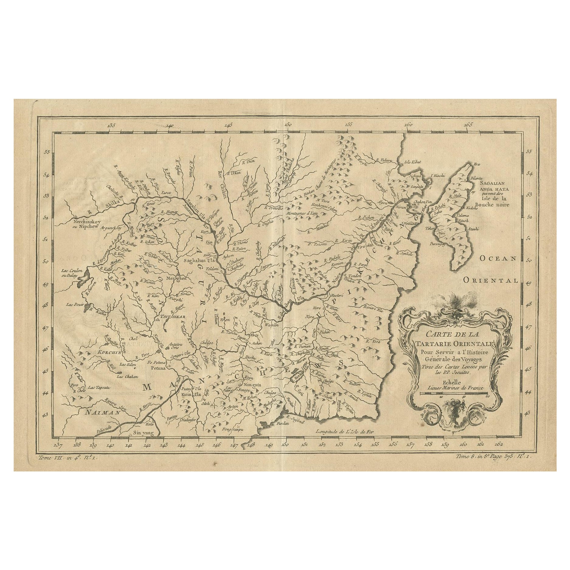
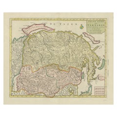
- Antique Map of Manchuria and the Northeast Portion of TartaryLocated in Langweer, NLAntique map titled 'Carte de la Tartarie Orientale (..)'. Detailed map of Manchuria and the Northeast portion of Tartary, including Sagallan Anga Hata--Isle de la Bouche...Category
Antique Mid-18th Century Maps
MaterialsPaper
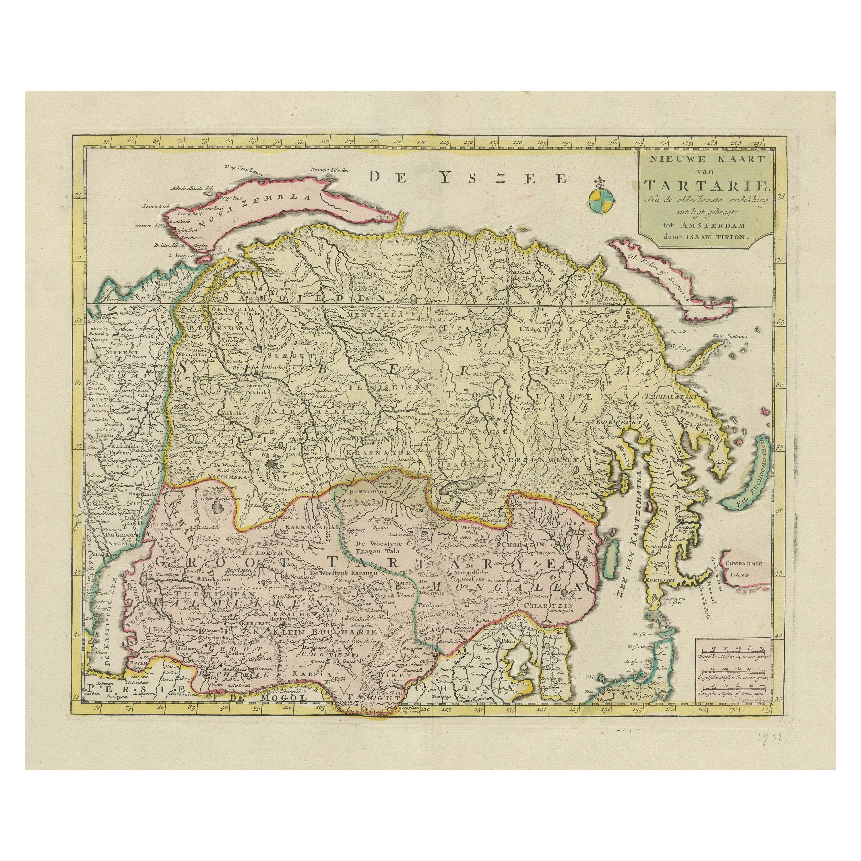
- Antique Map op Siberia and Chinese Tartary with original hand coloring, 1732Located in Langweer, NLAntique map titled 'Nieuwe Kaart van Tartarie na de alderlaatste ontdekking int ligt gebragt'. Map op Siberia and Chinese tartary. In the north Novaya Zemlya curls back to attach its...Category
Antique Mid-18th Century Maps
MaterialsPaper
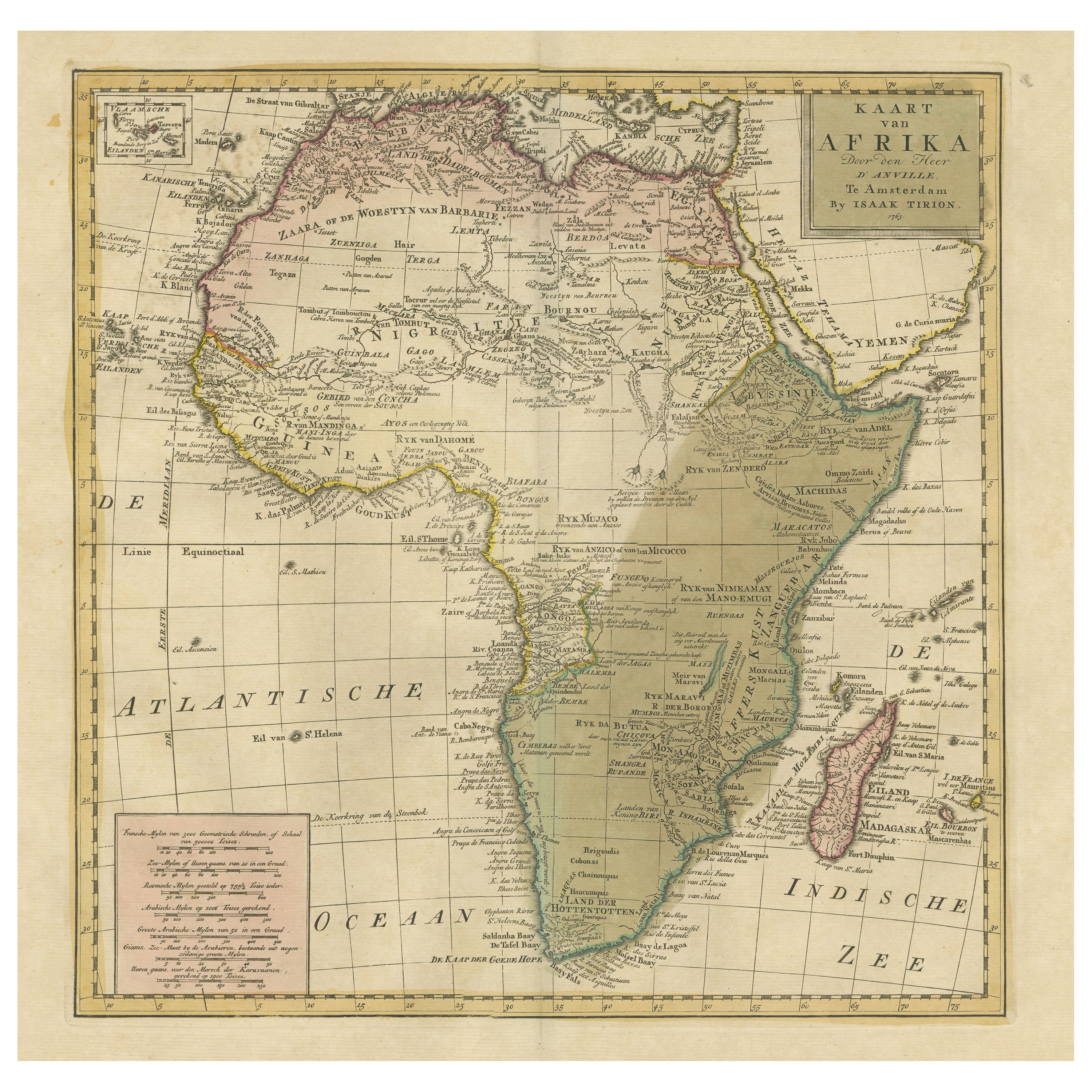
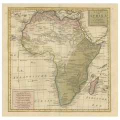
- Antique Map of Africa with Original Hand ColoringLocated in Langweer, NLAntique map titled 'Kaart van Afrika door den Heer d'Anville'. Detailed original old map of Africa, with very small inset map titled 'Vlaamsche Eilanden', which shows the Azores. Pub...Category
Antique Mid-18th Century Maps
MaterialsPaper


You May Also Like
- 1851 Map of "Independent Tartary", Ric. R018Located in Norton, MA1851 Map of Independent Tartary "Russia" Ric.r018 A highly decorative 1851 map of Independent Tartary by John Tallis and John Rapkin. Covers the regions between the Caspian Sea and Lake Bakquash and between Russia and Afghanistan. These include the ancient Silk Route kingdoms of Khiva, Tartaria, Kokand, and Bokhara. Today this region roughly includes Kazakhstan, Uzbekistan, Turkmenistan, Kyrgyzstan, and Tajikistan. This wonderful map offers a wealth of detail for anyone with an interest in the Central Asian portion of the ancient Silk Road. Identifies various caravan routes, deserts, wells, and stopping points, including the cities of Bokhara and Samarkand. Three vignettes by W. Bragg decorate the map, these including an image of Tartars on a Journey, a horseback Bride Chase, and a tartar camp site. Surrounded by a vine motif border. Engraved by J. Rapkin for John Tallis's 1851 Illustrated Atlas . Tartary Antique Map...Category
Antique 19th Century Unknown Maps
MaterialsPaper
- Original Antique Map of Asia. C.1780Located in St Annes, LancashireGreat map of Asia Copper-plate engraving Published C.1780 Two small worm holes to right side of map Unframed.Category
Antique Early 1800s English Georgian Maps
MaterialsPaper

- Original Antique Map of South East Asia, Arrowsmith, 1820Located in St Annes, LancashireGreat map of South East Asia Drawn under the direction of Arrowsmith Copper-plate engraving Published by Longman, Hurst, Rees, Orme and Brown, 1820 Unframed.Category
Antique 1820s English Maps
MaterialsPaper
- Antique Hand Colored Framed Map of EuropeLocated in West Palm Beach, FLAntique reproduction copied from an edition dated 1595 by Ortelius.Category
Antique Late 19th Century Maps
- Antique 1803 Italian Map of Asia Including China Indoneseia IndiaLocated in Amsterdam, Noord HollandAntique 1803 Italian Map of Asia Including China Indoneseia India Very nice map of Asia. 1803. Additional information: Type: Map Country of Manufacturing: Europe Period: 19th centu...Category
Antique 19th Century European Maps
MaterialsPaper
- Antique French Map of Asia Including China Indoneseia India, 1783Located in Amsterdam, Noord HollandVery nice map of Asia. 1783 Dedie au Roy. Additional information: Country of Manufacturing: Europe Period: 18th century Qing (1661 - 1912) Condition: Overall Condition B (Good Used)...Category
Antique 18th Century European Maps
MaterialsPaper


Recently Viewed
View AllMore Ways To Browse
Map Of Bali
Palliser Furniture
Oman Map
Antique Furniture Manitoba
Antique Map Of Republic Of Texas
E H Fletcher
Giovanni Maria Cassini On Sale
H Chatelain 1719
Kiribati Islands Map
Map Of Kiribati Islands
Nova Hollandia
William Wyld
Barbados Map
Bubble Glass Book Ends
Covens & Mortier On Sale
Cyclades Map
Formosa Vintage Map
Map Cleveland