Items Similar to Antique Virginia Map c.1888 – Railroads, Towns & The Old Dominion
Want more images or videos?
Request additional images or videos from the seller
1 of 11
Antique Virginia Map c.1888 – Railroads, Towns & The Old Dominion
$546.29
£404.41
€460
CA$752.66
A$838.56
CHF 437.77
MX$10,181.29
NOK 5,502.49
SEK 5,201.19
DKK 3,502.52
About the Item
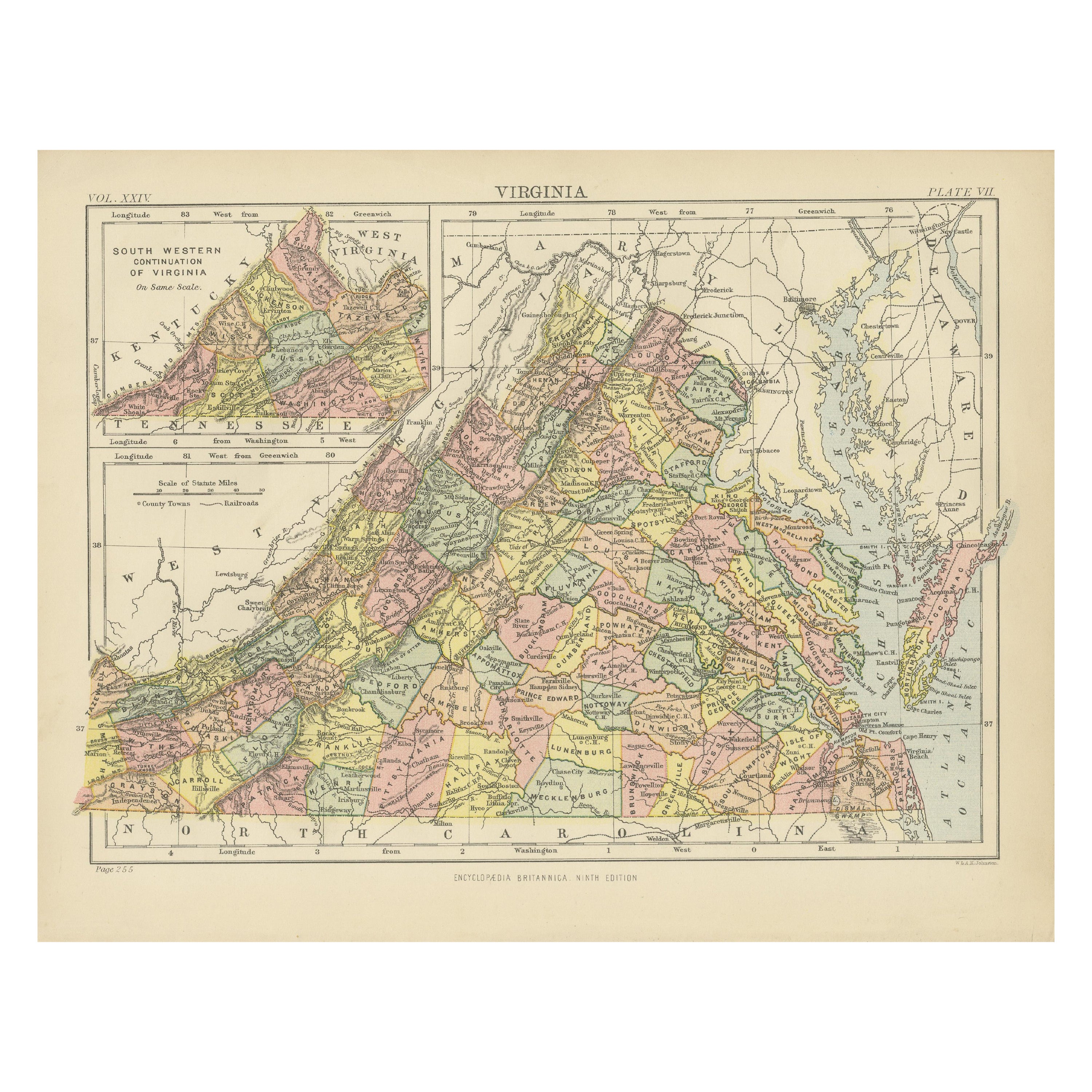
Antique Map of Virginia – Rand McNally, circa 1888
This antique map of Virginia was published by Rand, McNally & Co. around 1888. Drawn from one of their influential late 19th-century atlases, it provides a comprehensive view of Virginia’s geography, towns, and transportation network at a pivotal time in the state’s post-Civil War development.
The map encompasses the entire state of Virginia, clearly marking county boundaries, towns, rivers, and mountain ranges. Major cities such as Richmond, Norfolk, Lynchburg, and Alexandria are highlighted, while Washington, D.C., is shown just beyond the northern border. The Shenandoah Valley and the Blue Ridge Mountains are carefully engraved, emphasizing the state’s rugged interior topography.
Railroads, a defining feature of Rand McNally’s maps, are shown in red and blue, illustrating Virginia’s expanding connections with neighboring states and ports along the Chesapeake Bay and Atlantic coast. The Chesapeake region is finely detailed, including the intricate waterways that played a vital role in the state’s trade and economy.
By the late 19th century, Virginia was undergoing a transformation from its war-torn past into a state increasingly integrated with the industrial and commercial systems of the United States. This map captures that transition with clarity and precision, making it both a decorative and historically significant artifact.
Condition report:
Good condition with light age toning and mild handling wear. Original center fold as issued with faint darkening along the crease. Plate mark visible. Strong, clear impression with fine engraved detail.
Framing tips:
A walnut or mahogany frame with a cream or ivory mat will enhance the engraving and highlight the railroad routes. A double mat with a soft grey or pale blue inner layer can draw attention to the Chesapeake Bay and coastline, creating a balanced presentation.
Technique: Lithograph with original outline color
Maker: Rand, McNally & Co., Chicago, circa 1888
---
- Dimensions:Height: 14.18 in (36 cm)Width: 20.67 in (52.5 cm)Depth: 0.01 in (0.2 mm)
- Materials and Techniques:Paper,Engraved
- Place of Origin:
- Period:
- Date of Manufacture:1888
- Condition:Good condition with light age toning and mild handling wear. Original center fold as issued with faint darkening along the crease. Plate mark visible. Strong, clear impression with fine engraved detail.
- Seller Location:Langweer, NL
- Reference Number:Seller: BG-12794-231stDibs: LU3054346430472
About the Seller
5.0
Recognized Seller
These prestigious sellers are industry leaders and represent the highest echelon for item quality and design.
Platinum Seller
Premium sellers with a 4.7+ rating and 24-hour response times
Established in 2009
1stDibs seller since 2017
2,591 sales on 1stDibs
Typical response time: <1 hour
- ShippingRetrieving quote...Shipping from: Langweer, Netherlands
- Return Policy
Authenticity Guarantee
In the unlikely event there’s an issue with an item’s authenticity, contact us within 1 year for a full refund. DetailsMoney-Back Guarantee
If your item is not as described, is damaged in transit, or does not arrive, contact us within 7 days for a full refund. Details24-Hour Cancellation
You have a 24-hour grace period in which to reconsider your purchase, with no questions asked.Vetted Professional Sellers
Our world-class sellers must adhere to strict standards for service and quality, maintaining the integrity of our listings.Price-Match Guarantee
If you find that a seller listed the same item for a lower price elsewhere, we’ll match it.Trusted Global Delivery
Our best-in-class carrier network provides specialized shipping options worldwide, including custom delivery.More From This Seller
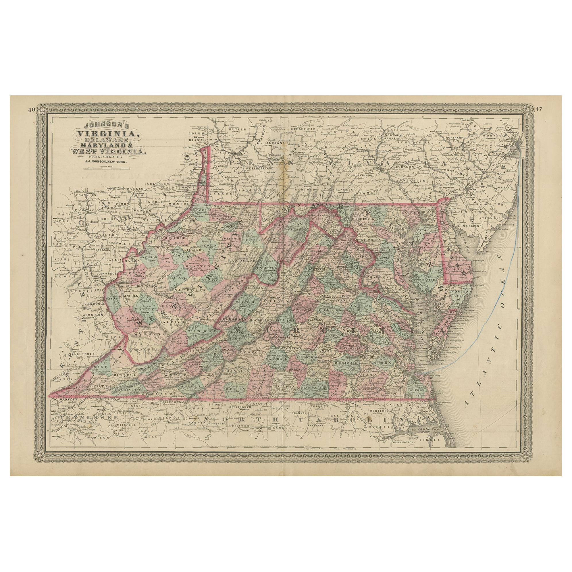
View AllAntique Map of Virginia, Delaware, Maryland & West Virginia by Johnson, 1872
Located in Langweer, NL
Antique map titled 'Johnson's Viriginia (..). Original map of Virginia, Delaware, Maryland and West Virginia. This map originates from 'Johnson's New I...
Category
Antique Late 19th Century Maps
Materials
Paper
$237 Sale Price
20% Off
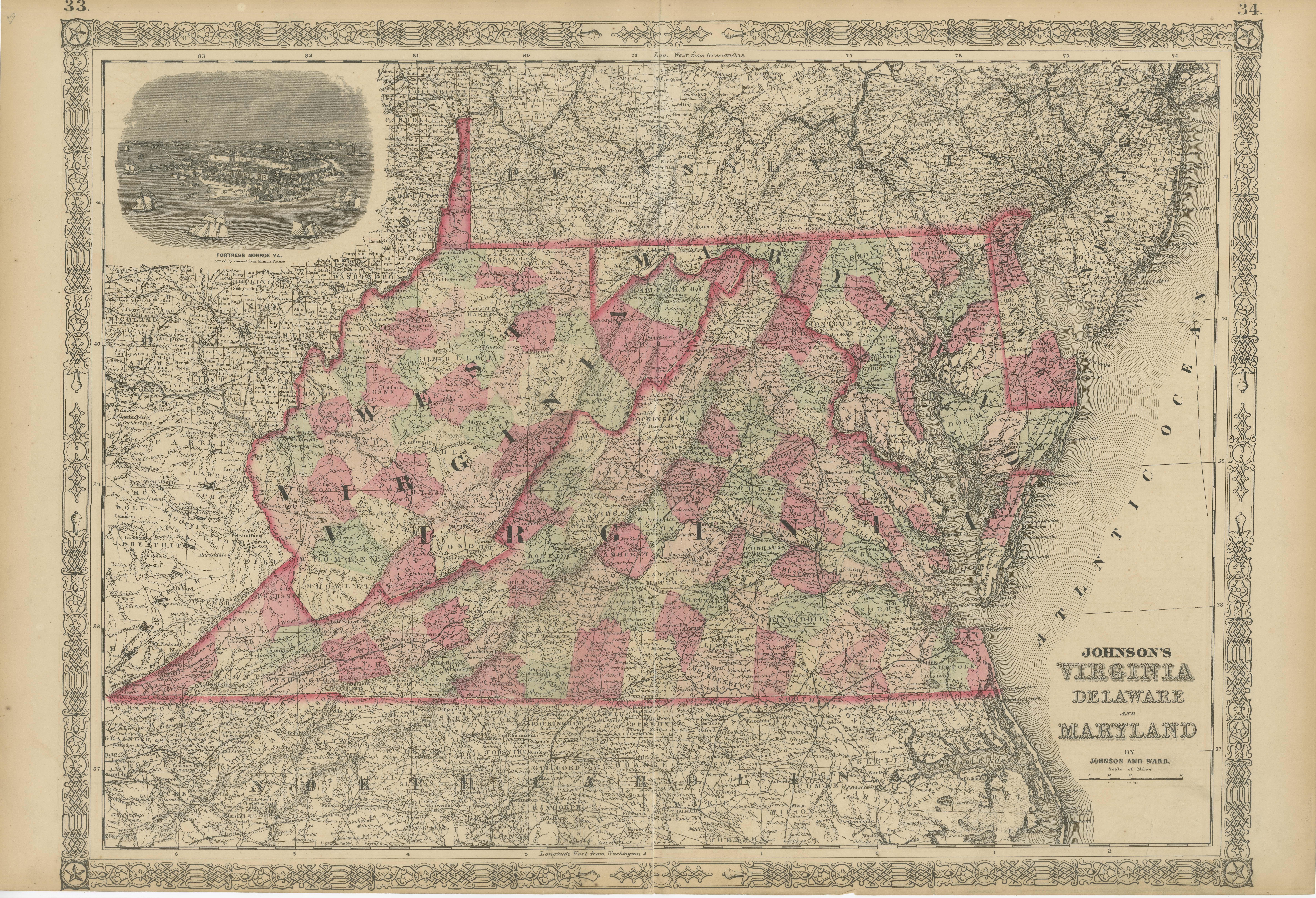
1864 Johnson's Map of Virginia, Delaware, and Maryland with Fort Monroe Inset
Located in Langweer, NL
Title: 1864 Johnson's Map of Virginia, Delaware, and Maryland with Fort Monroe Inset
Description: This 1864 map titled "Johnson's Virginia, Delaware, and ...
Category
Antique 1860s Maps
Materials
Paper
$285 Sale Price
20% Off
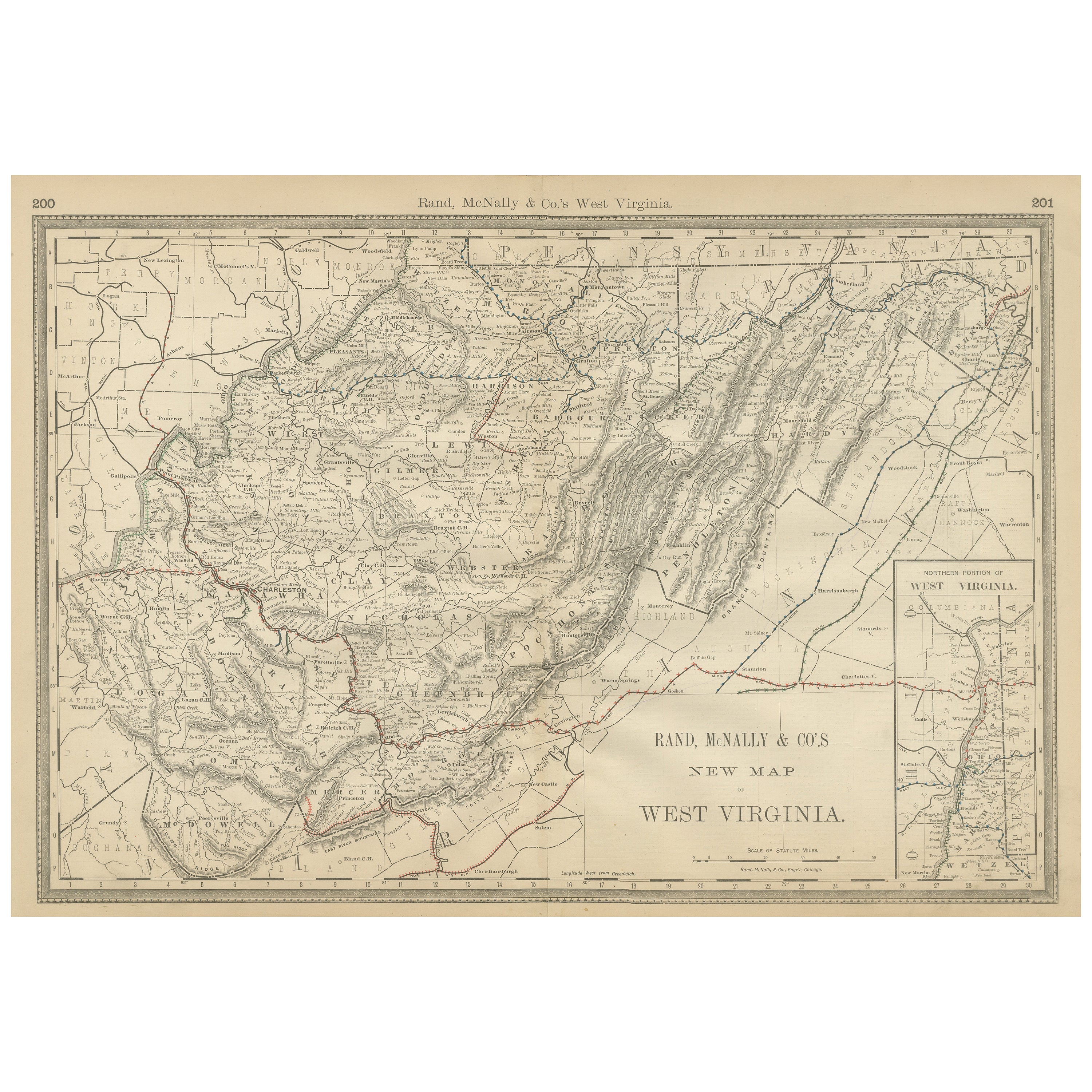
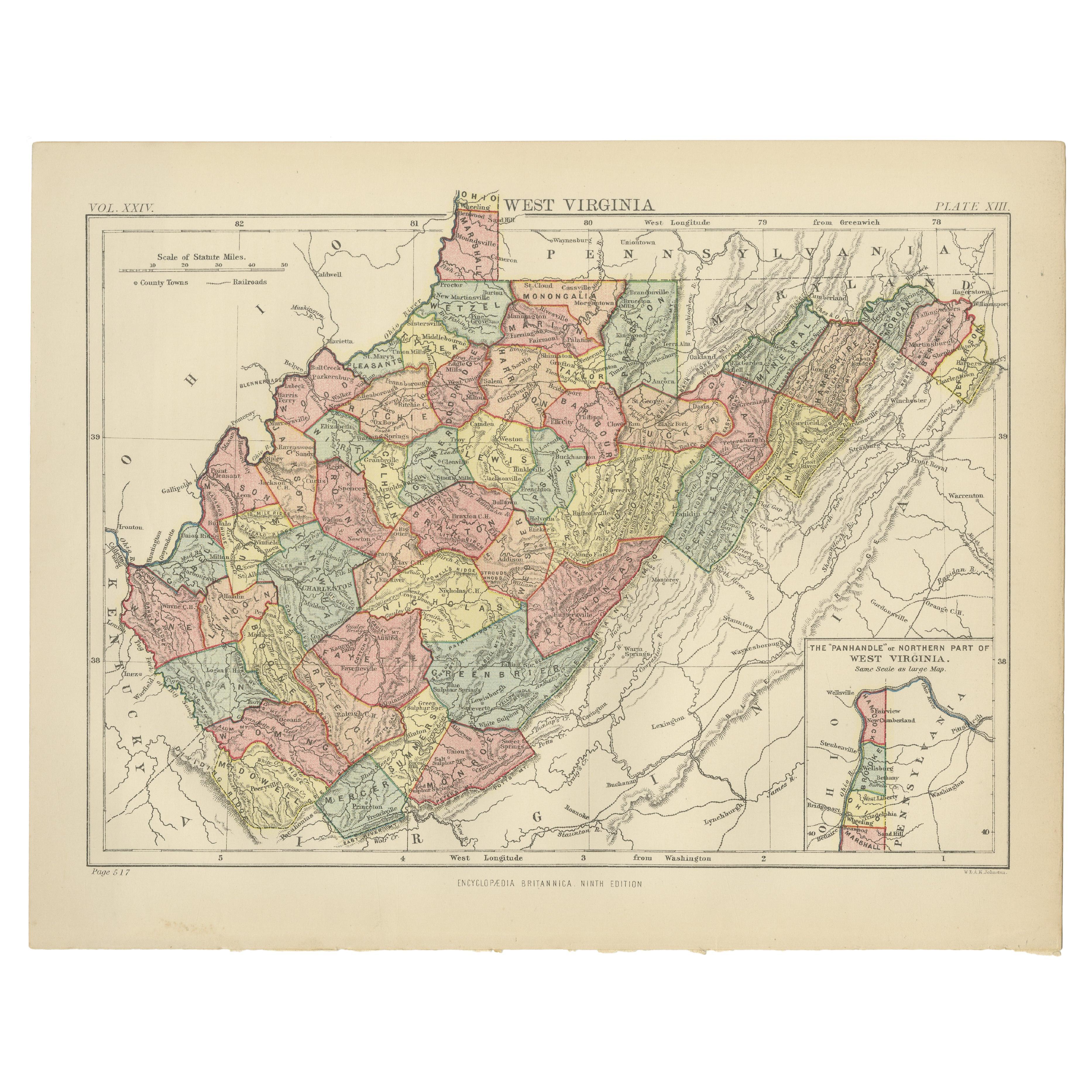
West Virginia Antique Railroad Map c.1888 – Mountain State Counties & Towns
Located in Langweer, NL
Antique Map of West Virginia – Rand McNally, circa 1888
This antique map of West Virginia was published by Rand, McNally & Co. around 1888. It offers a detailed late 19th-century vi...
Category
Antique Late 19th Century American Maps
Materials
Paper
Antique Map of Virginia, with Inset Map of the South Western Continuation
Located in Langweer, NL
Antique map titled 'Virginia'. Original antique map of Virginia, United States. With inset map of the south western continuation of Virginia. T...
Category
Antique Late 19th Century Maps
Materials
Paper
$275 Sale Price
20% Off
Antique Map of Virginia, with Inset Map of the Northern Part of West Viriginia
Located in Langweer, NL
Antique map titled 'West Virginia'. Original antique map of Virginia, United States. With inset map of the 'Panhandle' or northern part of West...
Category
Antique Late 19th Century Maps
Materials
Paper
$275 Sale Price
20% Off
Pennsylvania 1888 Antique Map – The Keystone State, Southeastern Railroads
Located in Langweer, NL
Antique Map of Southeastern Pennsylvania – Rand McNally, circa 1888
This antique map of southeastern Pennsylvania was published by Rand, McNally & Co. around 1888, taken from one of...
Category
Antique Late 19th Century American Maps
Materials
Paper
You May Also Like
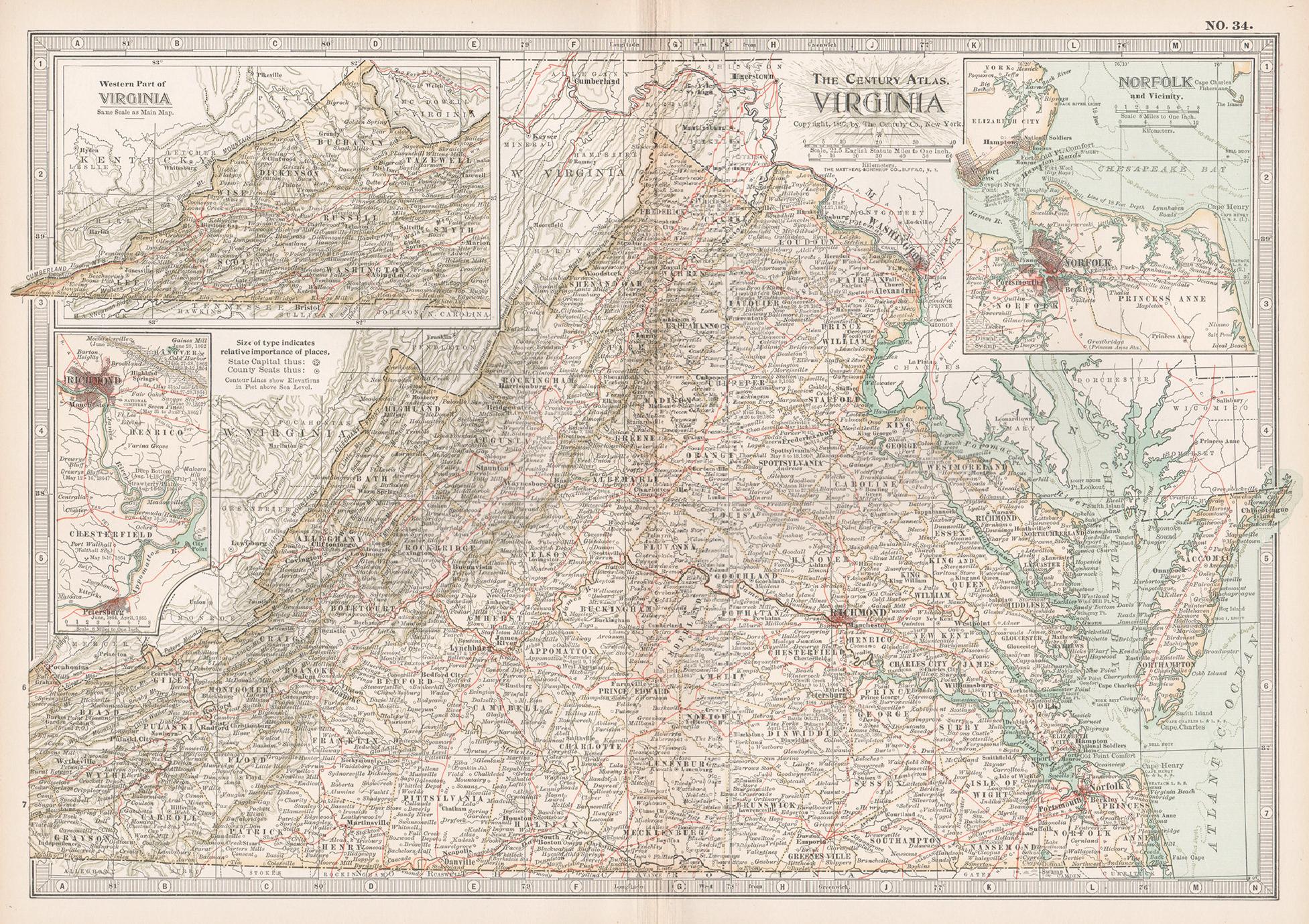
Virginia. USA. Century Atlas state antique vintage map
Located in Melbourne, Victoria
'The Century Atlas. Virginia'
Original antique map, 1903.
Central fold as issued. Map name and number printed on the reverse corners.
Sheet 29.5cm by 40cm.
Category
Early 20th Century Victorian More Prints
Materials
Lithograph
Original Antique Map of the American State of Virginia, 1903
Located in St Annes, Lancashire
Antique map of Virginia
Published By A & C Black. 1903
Original colour
Good condition
Unframed.
Free shipping
Category
Antique Early 1900s English Maps
Materials
Paper
Original Antique Map of the American State of Virginia, 1903
Located in St Annes, Lancashire
Antique map of West Virginia
Published By A & C Black. 1903
Original colour
Good condition
Unframed.
Free shipping
Category
Antique Early 1900s English Maps
Materials
Paper
Maryland and Delaware. USA. Century Atlas state antique vintage map
Located in Melbourne, Victoria
'The Century Atlas. Maryland and Delaware.'
Original antique map, 1903.
Central fold as issued. Map name and number printed on the reverse corners.
Sheet 29.5cm by 40cm.
Category
Early 20th Century Victorian More Prints
Materials
Lithograph
West Virginia. USA. Century Atlas state antique vintage map
Located in Melbourne, Victoria
'The Century Atlas. West Virginia'
Original antique map, 1903.
Central fold as issued. Map name and number printed on the reverse corners.
Sheet 29.5cm by 40cm.
Category
Early 20th Century Victorian More Prints
Materials
Lithograph
Pennsylvania, Eastern Part. USA. Century Atlas state antique vintage map
Located in Melbourne, Victoria
'The Century Atlas. Pennsylvania, Eastern Part.'
Original antique map, 1903.
Central fold as issued. Map name and number printed on the reverse corners.
Sheet 40cm by 29.5cm.
Category
Early 20th Century Victorian More Prints
Materials
Lithograph
