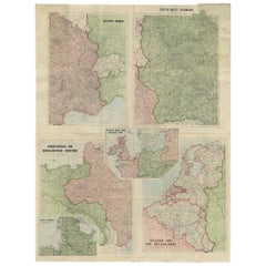
Antique War Map by Johnston, circa 1914
View Similar Items


Want more images or videos?
Request additional images or videos from the seller
1 of 6
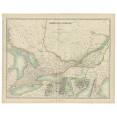
Antique War Map by Johnston, circa 1914
About the Item
- Dimensions:Height: 39.38 in (100 cm)Width: 29.53 in (75 cm)Depth: 0.02 in (0.5 mm)
- Materials and Techniques:
- Period:
- Date of Manufacture:circa 1914
- Condition:Wear consistent with age and use. Some wear, please study images carefully.
- Seller Location:Langweer, NL
- Reference Number:Seller: BG-113531stDibs: LU3054313460762
About the Seller
5.0
Platinum Seller
These expertly vetted sellers are 1stDibs' most experienced sellers and are rated highest by our customers.
Established in 2009
1stDibs seller since 2017
1,933 sales on 1stDibs
More From This SellerView All
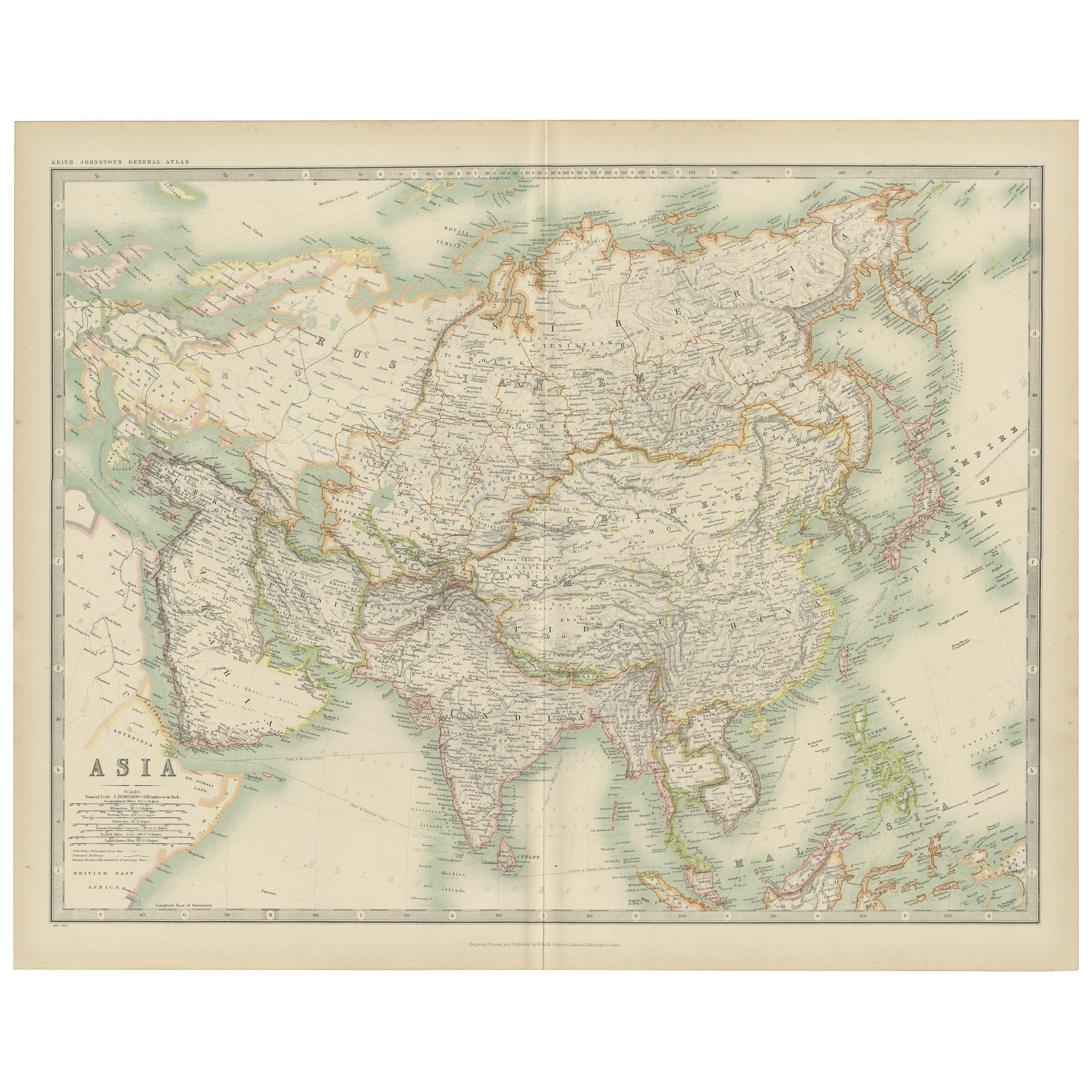
- Antique Map of Asia by K. Johnston, circa 1879Located in Langweer, NLNo. 28 of Keith Johnston's General Atlas. Published by William Blackwood & Sons Edinburgh & London, circa 1879.Category
Antique Late 19th Century Maps
MaterialsPaper
 $204 Sale Price29% Off
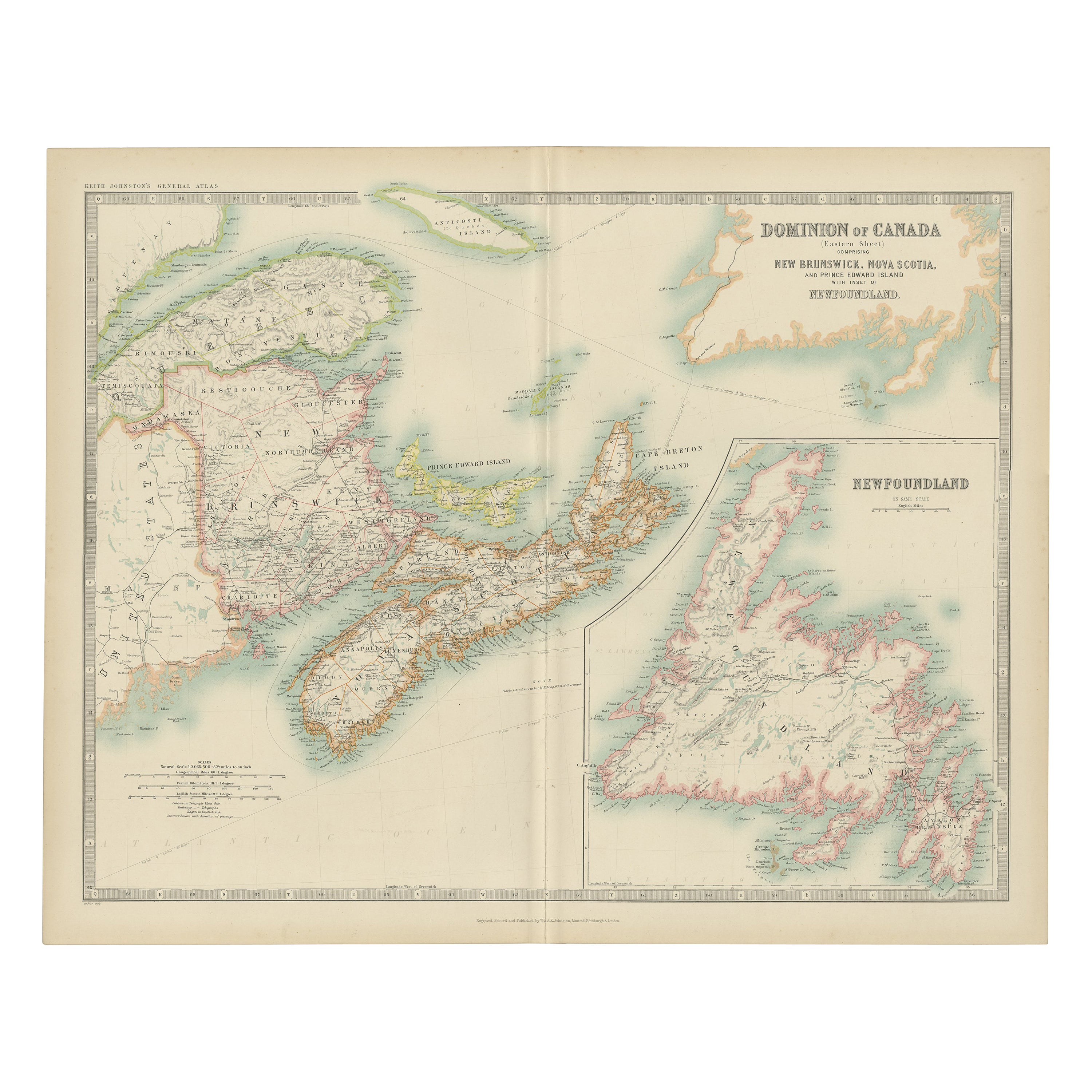
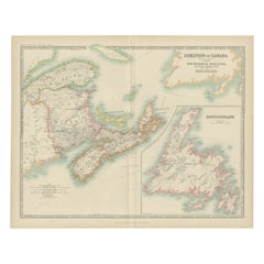
 - Antique Map of Canada by Johnston '1909'Located in Langweer, NLAntique map titled 'Dominion of Canada'. Original antique map of Canada. With inset map of Newfoundland. This map originates from the ‘Royal Atla...Category
Early 20th Century Maps
MaterialsPaper
 $219 Sale Price20% Off
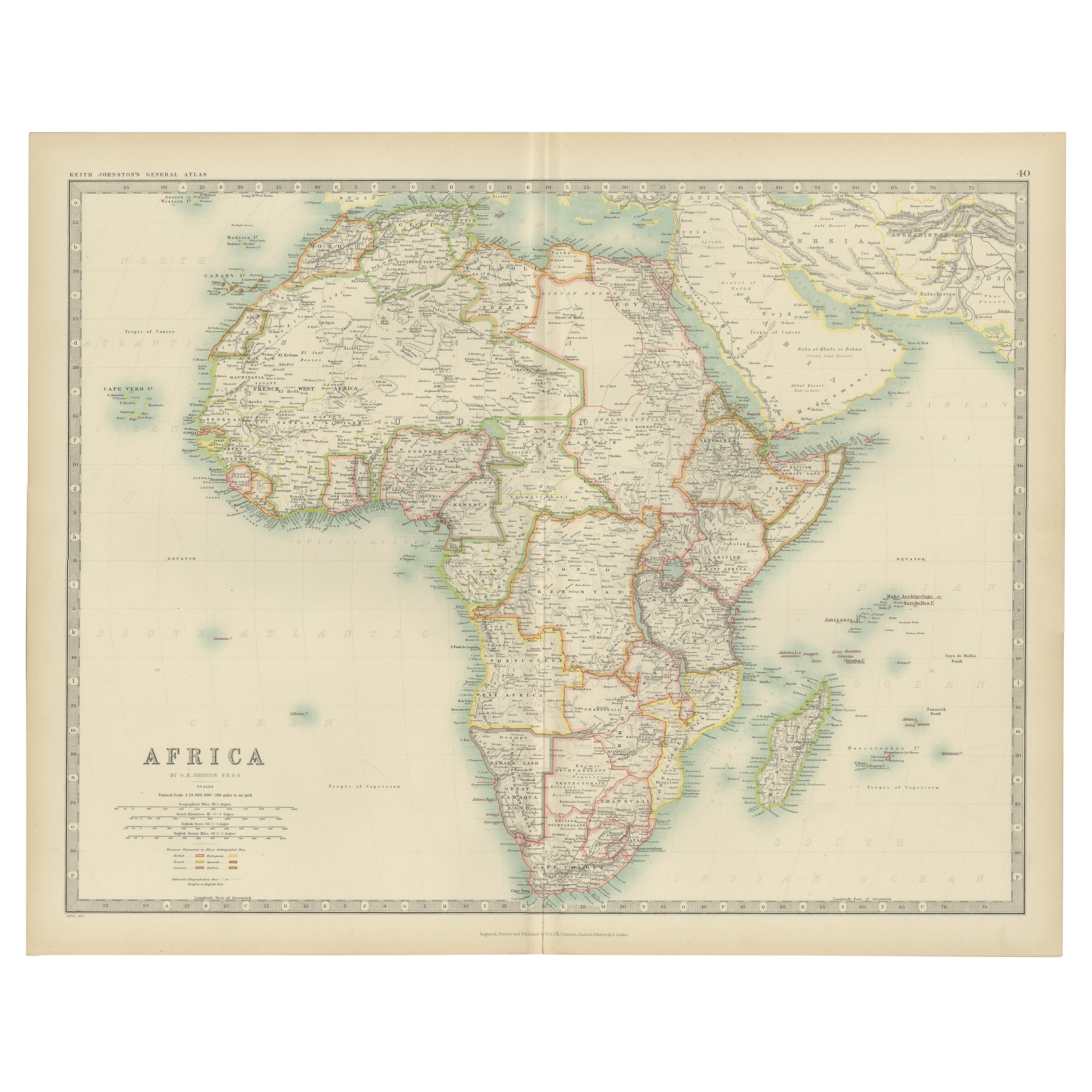
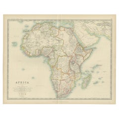
 - Antique Map of Africa by Johnston (1909)Located in Langweer, NLAntique map titled 'Africa'. Original antique map of Africa. This map originates from the ‘Royal Atlas of Modern Geography’. Published by W. & A....Category
Early 20th Century Maps
MaterialsPaper
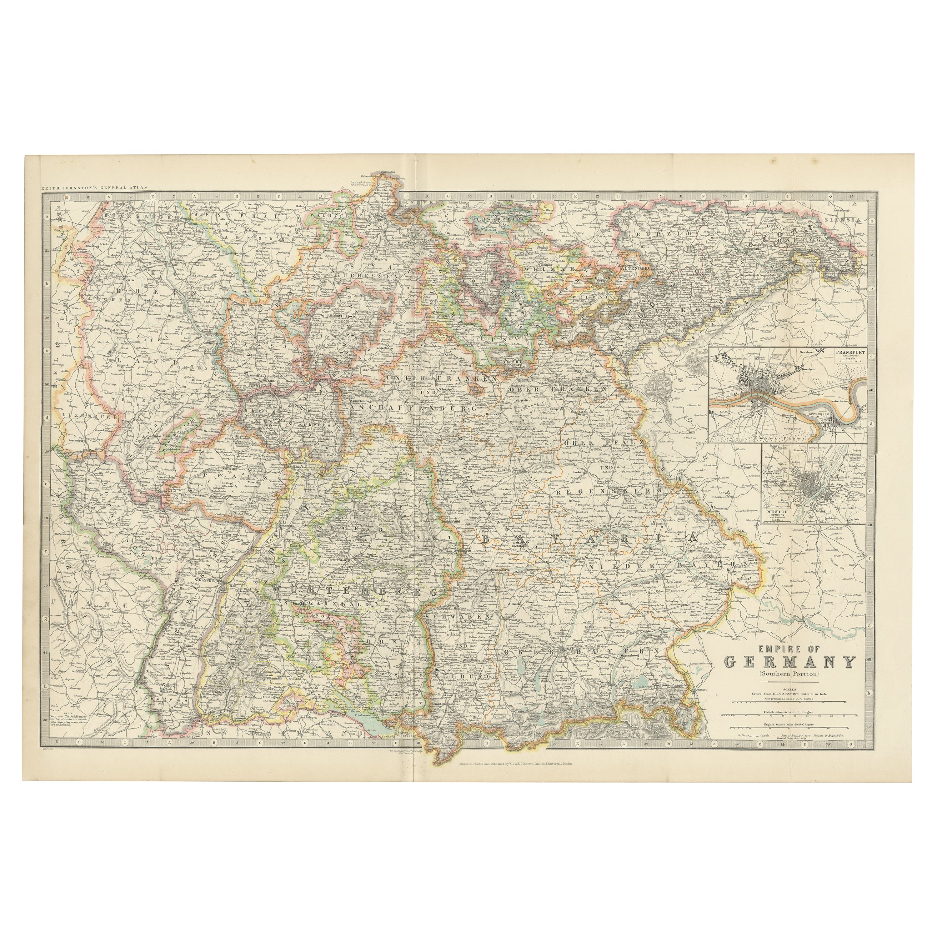
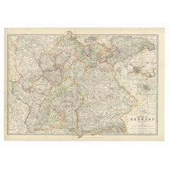
- Antique Map of Germany by Johnston '1909'Located in Langweer, NLAntique map titled 'Empire of Germany'. Original antique map of Germany. With inset maps of Frankfurt and Munich. This map originates from the ‘...Category
Early 20th Century Maps
MaterialsPaper
- Antique Map of Canada by Johnston '1909'Located in Langweer, NLAntique map titled 'Dominion of Canada'. Original antique map of Canada. With inset maps of Niagara, Montreal, Quebec. This map originates from t...Category
Early 20th Century Maps
MaterialsPaper
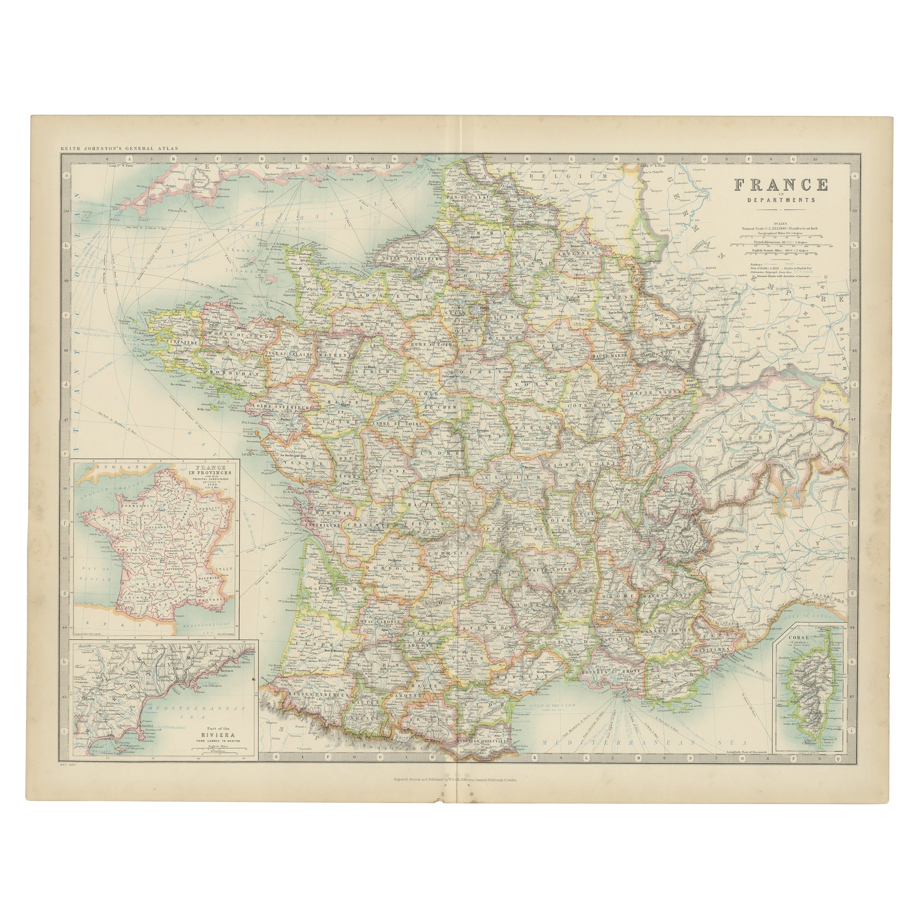
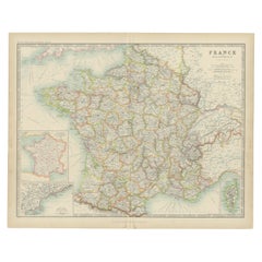
- Antique Map of France by Johnston (1909)Located in Langweer, NLAntique map titled 'France'. Original antique map of France. With inset maps of France in provinces, part of the Riviera and Corsica. This map or...Category
Early 20th Century Maps
MaterialsPaper
 $219 Sale Price20% Off
You May Also Like
- Original Antique Map of Belgium by Tallis, Circa 1850Located in St Annes, LancashireGreat map of Belgium Steel engraving Many lovely vignettes Published by London Printing & Publishing Co. ( Formerly Tallis ), C.1850 Origin...Category
Antique 1850s English Maps
MaterialsPaper
- Civil War Panorama of the Seat of War by John Bachmann, Antique Print circa 1864Located in Colorado Springs, COPanorama of the seat of war. Bird's-eye View of Virginia, Maryland, Delaware and the District of Columbia. This third state of this fascinating bird's eye view of the northernmost p...Category
Antique 1860s American Maps
MaterialsPaper
- Original Antique Map / City Plan of Brussels by Tallis, circa 1850Located in St Annes, LancashireGreat map of Brussels. Steel engraving. Published by London Printing & Publishing Co. (Formerly Tallis), C.1850 Free shipping.Category
Antique 1850s English Maps
MaterialsPaper
- Original Antique Map of South East Asia by Becker, circa 1840Located in St Annes, LancashireGreat map of South East Asia Steel engraving with original color outline Engraved by Becker Published by Virtue, circa 1840. Unframed.Category
Antique 1840s English Other Maps
MaterialsPaper
- Original Antique Map of South America, circa 1830Located in St Annes, LancashireGreat map of South America Copper plate engraving Published by Butterworth, Livesey & Co., circa 1830 Unframed.Category
Antique Early 1800s English Other Maps
MaterialsPaper

- Original Antique Map of Spain and Portugal, circa 1790Located in St Annes, LancashireSuper map of Spain and Portugal Copper plate engraving by A. Bell Published, circa 1790. Unframed.Category
Antique 1790s English Other Maps
MaterialsPaper


