Items Similar to Decorative Original Antique Map of Valencia in Southern Spain, circa 1601


Want more images or videos?
Request additional images or videos from the seller
1 of 10
Decorative Original Antique Map of Valencia in Southern Spain, circa 1601
About the Item
This is an original antique map titled 'Valentiae Regni olim Contestanorum Si Ptolemaeo, Edentanorum Si Plinio Credimus Typus'. This is a historical map of the Kingdom of Valencia in Southern Spain. The title suggests it is based on the geographical accounts of Ptolemy and Pliny, ancient scholars whose works influenced early mapmaking.
The map features the region from Murcia to Aragon, and extends inland to include parts of Castille, which are regions in Spain. Details such as towns, rivers, and possibly mountain ranges are marked.
This map was included in a French edition of 'Theatrum Orbis Terrarum' by Abraham Ortelius, which is considered to be the first modern atlas. The Theatrum, first published in 1570, compiled maps from various cartographers in a uniform format, and its success prompted the publication of numerous editions over the following decades.
The copy mentioned is indicated to have been published around 1601, which would place it relatively early in the history of printed maps. The map's decoration, with ornate cartouches and a depiction of a sailing ship, is characteristic of the period's style and the aesthetic qualities of Ortelius's work. Antique maps like this are not only valuable for their geographical content but also as historical and artistic artifacts.
Abraham Ortelius is perhaps the best known and most frequently collected of all sixteenth-century mapmakers. Ortelius started his career as a map colorist. In 1547 he entered the Antwerp guild of St Luke as afsetter van Karten. His early career was as a business man, and most of his journeys before 1560, were for commercial purposes. In 1560, while traveling with Gerard Mercator to Trier, Lorraine, and Poitiers, he seems to have been attracted, largely by Mercator’s influence, towards a career as a scientific geographer. From that point forward, he devoted himself to the compilation of his Theatrum Orbis Terrarum (Theatre of the World), which would become the first modern atlas.
- Dimensions:Height: 17.52 in (44.5 cm)Width: 22.45 in (57 cm)Depth: 0.02 in (0.5 mm)
- Materials and Techniques:
- Period:Early 17th Century
- Date of Manufacture:c.1601
- Condition:General age-related toning. Original folding line, with splits. Shows some wear and soiling. French text on verso. Please study image carefully.
- Seller Location:Langweer, NL
- Reference Number:
About the Seller
5.0
Platinum Seller
These expertly vetted sellers are 1stDibs' most experienced sellers and are rated highest by our customers.
Established in 2009
1stDibs seller since 2017
1,916 sales on 1stDibs
Typical response time: <1 hour
- ShippingRetrieving quote...Ships From: Langweer, Netherlands
- Return PolicyA return for this item may be initiated within 14 days of delivery.
More From This SellerView All
- Decorative Original Antique Map of Southern Germany, c.1730Located in Langweer, NL"Antique map titled 'The South West Part of Germany. Containing ye Dominions of the Archbishops and Electors of Mentz Y Treves, and of ye Elec. Palatine of ye Rhine; with Franconia, ...Category
Antique 18th Century Maps
MaterialsPaper
- Original Antique Map of Southern Asia, Published in 1833Located in Langweer, NLAntique map titled 'Carte de l'Inde'. Detailed map extending from India in the west to Vietnam and the Malay Peninsula in the east. This map originates from 'Atlas universel de geogr...Category
Antique Mid-19th Century Maps
MaterialsPaper
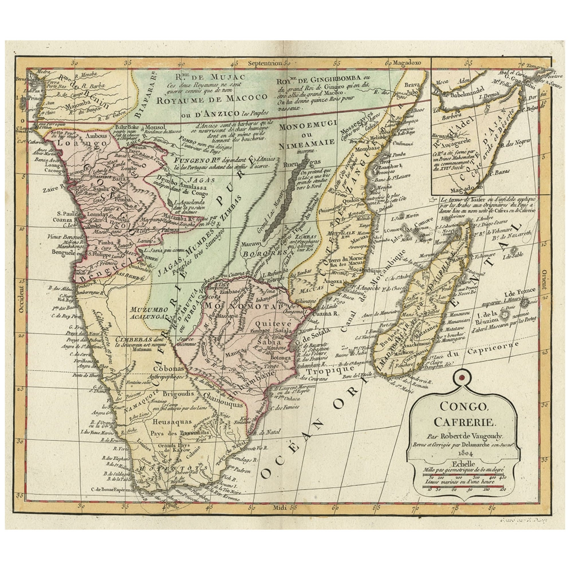
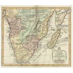
- Decorative Antique Map of the Southern Part of Africa, 1806Located in Langweer, NLAntique map titled 'Congo, Cafrerie.' Decorative map of the southern part of Africa by Robert de Vaugondy, revised and published by Delamarche. Source unknown, to be determined. Artists and Engravers: Charles Francois Delamarche (1740-1817) founded the important and prolific Paris based Maison Delamarche map publishing firm in the late 18th century. A lawyer by trade Delamarche entered the map business with the acquisition from Jean-Baptiste Fortin of Robert de Vaugondy's map plates...Category
Antique Early 1800s Maps
MaterialsPaper
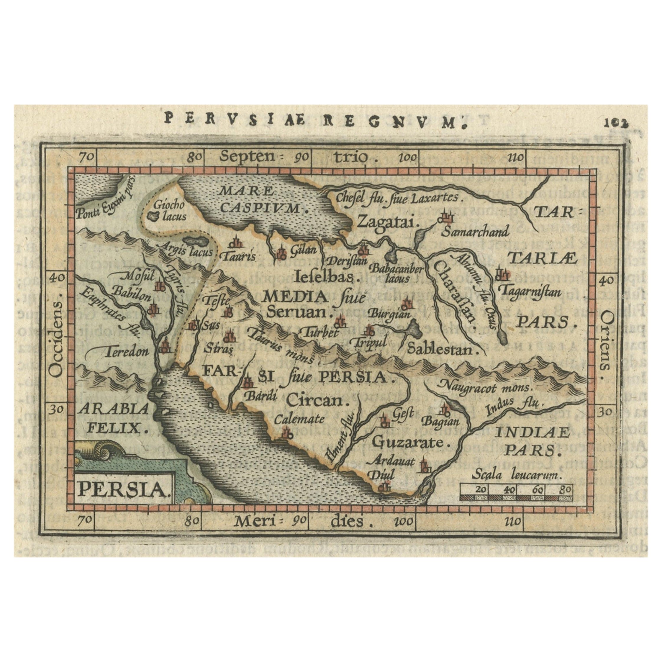
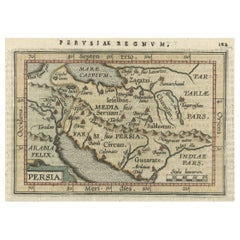
- Original Antique Miniature Map of Persia, Published, ca.1601Located in Langweer, NLAntique miniature map titled 'Persia'. Small map of Persia published in the Epitome, or pocket-edition of the "Theatrum Orbis Terrarum". Artists and e...Category
Antique Early 1600s Maps
MaterialsPaper
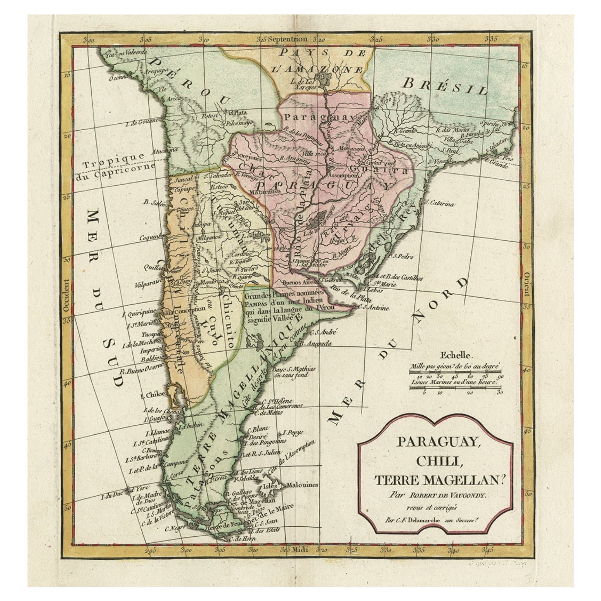
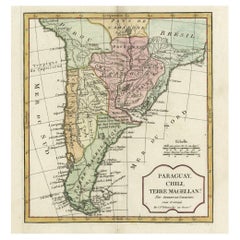
- Decorative Antique Map of the Southern Part of South America, 1806Located in Langweer, NLDescription: Antique map titled 'Paraguay, Chili, Terre Magellan?' Decorative map of the southern part of South America by Robert de Vaugondy, revised and published by Delamarche. Source unknown, to be determined. Artists and Engravers: Charles Francois Delamarche (1740-1817) founded the important and prolific Paris based Maison Delamarche map publishing firm in the late 18th century. A lawyer by trade Delamarche entered the map business with the acquisition from Jean-Baptiste Fortin of Robert de Vaugondy's map plates...Category
Antique Early 1800s Maps
MaterialsPaper
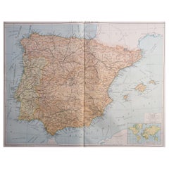
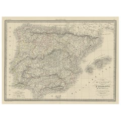
- Antique Decorative Map of Portugal and Spain, 1842Located in Langweer, NLAntique map titled 'Carte de la Peninsule comprenant l'Espagne et le Portugal'. Map of Spain and Portugal. This map originates from 'Atlas universel de géographie ancienne et mod...Category
Antique 1840s Maps
MaterialsPaper


You May Also Like
- Original Antique Map of Spain and Portugal, circa 1790Located in St Annes, LancashireSuper map of Spain and Portugal Copper plate engraving by A. Bell Published, circa 1790. Unframed.Category
Antique 1790s English Other Maps
MaterialsPaper
- Large Original Vintage Map of Spain, circa 1920Located in St Annes, LancashireGreat map of Spain Original color. Good condition Published by Alexander Gross Unframed.Category
Vintage 1920s English Maps
MaterialsPaper
- Original Antique Decorative Map of Japan, Fullarton, C.1870Located in St Annes, LancashireGreat map of Japan Wonderful figural border From the celebrated Royal Illustrated Atlas Lithograph. Original color. Published by Fullarton, Edinburgh, C.1870 Unframed...Category
Antique 1870s Scottish Maps
MaterialsPaper
- Original Antique Map of Cyprus. Circa 1880Located in St Annes, LancashireGreat map of Cyprus Drawn and Engraved by R.Walker Published W.Mackenzie, London Original colour Unframed.Category
Antique 1880s English Maps
MaterialsPaper
- Original Antique Map of South America, circa 1830Located in St Annes, LancashireGreat map of South America Copper plate engraving Published by Butterworth, Livesey & Co., circa 1830 Unframed.Category
Antique Early 1800s English Other Maps
MaterialsPaper
- Original Antique Decorative Map of South America-West Coast, Fullarton, C.1870Located in St Annes, LancashireGreat map of Chili, Peru and part of Bolivia Wonderful figural border From the celebrated Royal Illustrated Atlas Lithograph. Original color. Published by Fullarton, Edi...Category
Antique 1870s Scottish Maps
MaterialsPaper