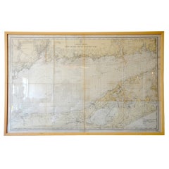
Framed Vintage Nautical Map of Long Island Sound
View Similar Items


1 of 4
Framed Vintage Nautical Map of Long Island Sound
About the Item
- Dimensions:Height: 31 in (78.74 cm)Width: 47 in (119.38 cm)Depth: 3 in (7.62 cm)
- Materials and Techniques:
- Place of Origin:
- Period:
- Date of Manufacture:20th Century
- Condition:Vintage.
- Seller Location:Houston, TX
- Reference Number:1stDibs: U120813911676
Authenticity Guarantee
In the unlikely event there’s an issue with an item’s authenticity, contact us within 1 year for a full refund. DetailsMoney-Back Guarantee
If your item is not as described, is damaged in transit, or does not arrive, contact us within 7 days for a full refund. Details24-Hour Cancellation
You have a 24-hour grace period in which to reconsider your purchase, with no questions asked.Vetted Professional Sellers
Our world-class sellers must adhere to strict standards for service and quality, maintaining the integrity of our listings.Price-Match Guarantee
If you find that a seller listed the same item for a lower price elsewhere, we’ll match it.Trusted Global Delivery
Our best-in-class carrier network provides specialized shipping options worldwide, including custom delivery.You May Also Like
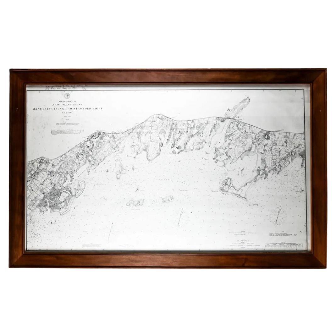
Framed Long Island Sound Map C. 1899
Located in Locust Valley, NY
Map of Long Island Sound with a rustic wood frame and nautical details for Connecticut and Long Island.
Category
Antique Late 19th Century Maps
Materials
Paper
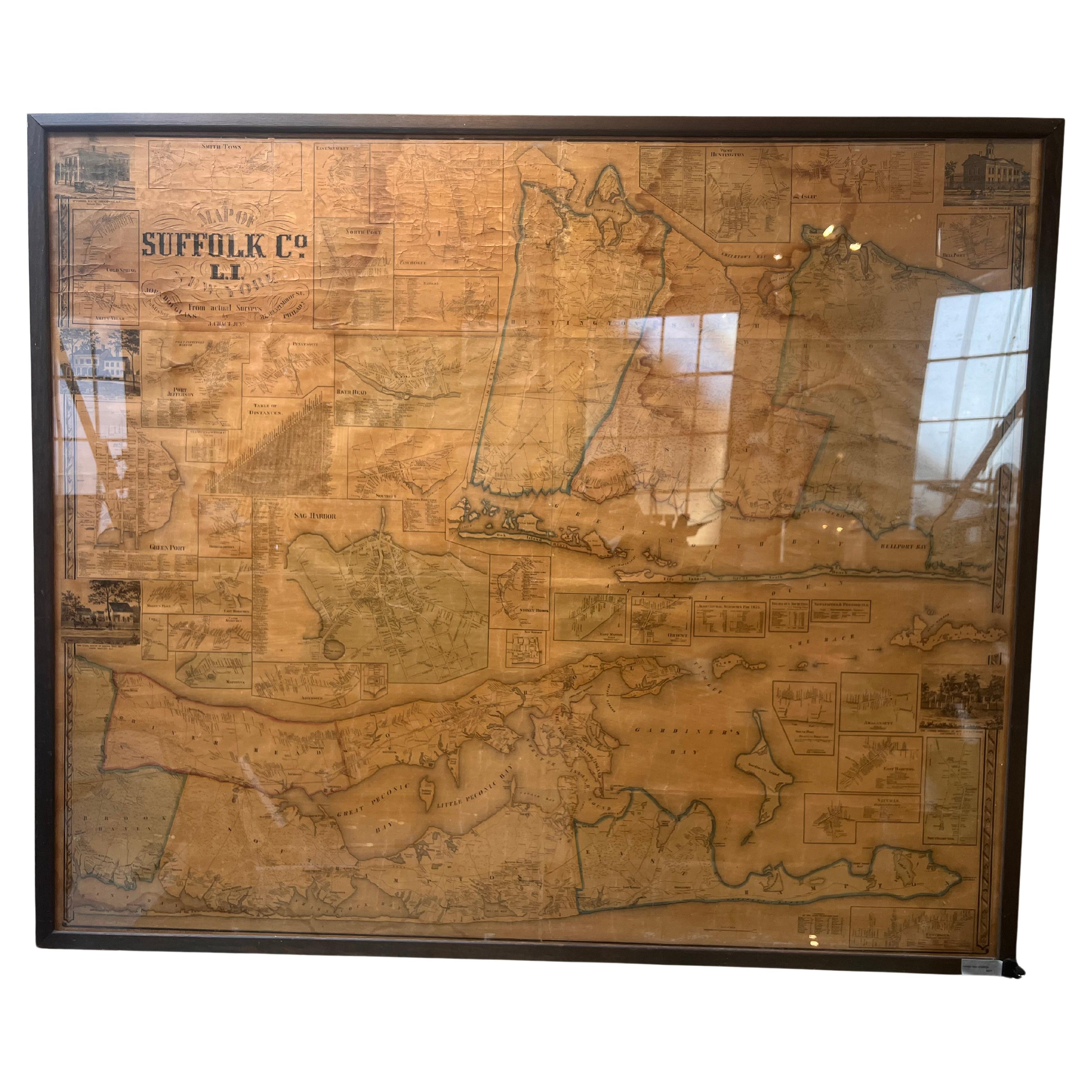
Framed Mid-19th Century Wall Map of Long Island, the Hamptons
Located in Sag Harbor, NY
A Framed museum quality find. This large wall map dates to the mid-1800s. Detailed inset maps of, Sag Harbor, East Hampton, Amagansett, Shelter Island and most villages in Long Island. It also has agriculture stats for 1855. Detailed prints of homes on Scuttle Hole in Bridgehampton as well as several other detailed prints. Lists of businesses, distance tables and railroad schedules and stops. The total amount of detailed information about Suffolk County Long Island is staggering. A unique rare New York map...
Category
Antique Mid-19th Century American Maps
Materials
Linen, Paper

$7,100 Sale Price
20% Off
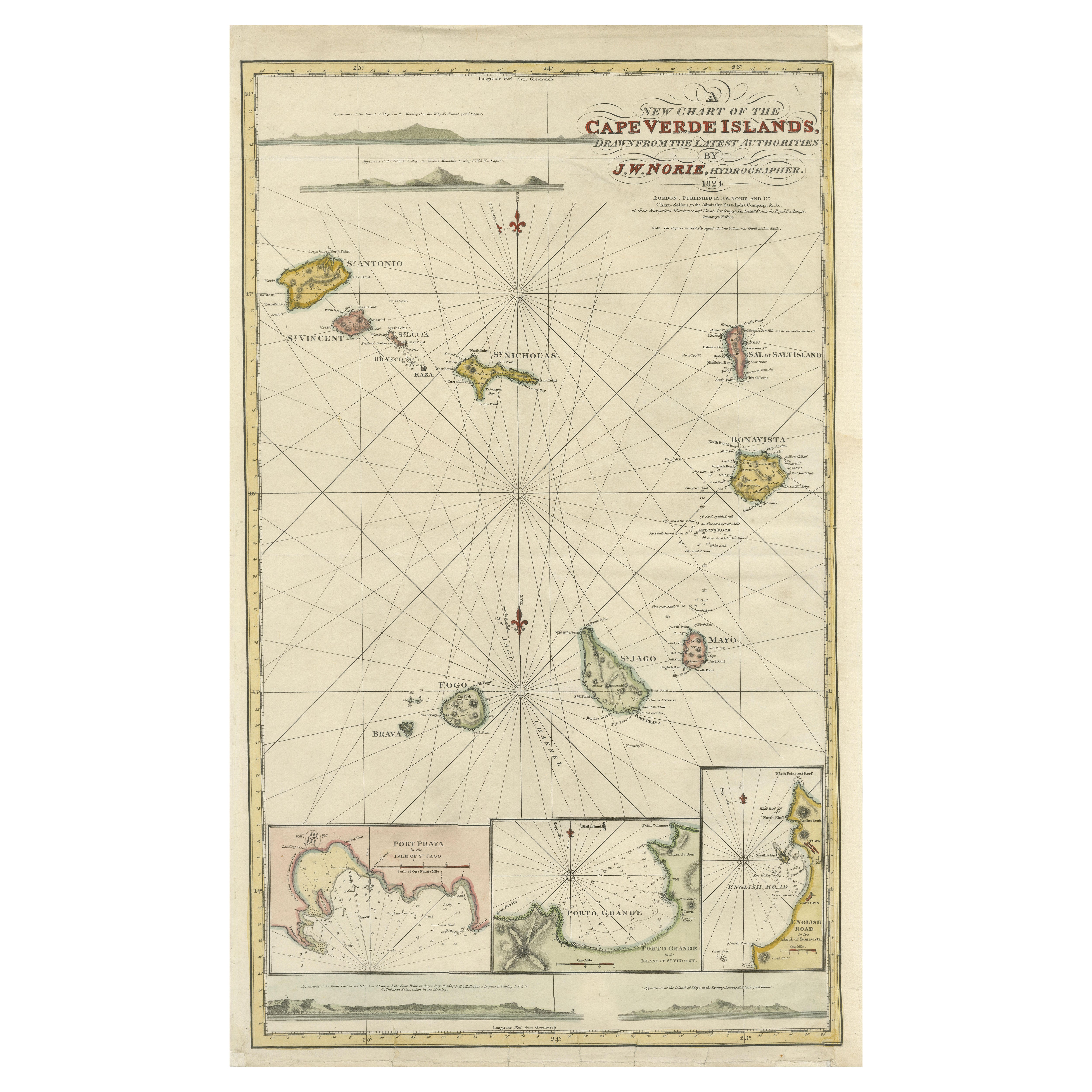
Nautical Chart of Cape Verde Islands by J.W. Norie, 1824 Coastal Map
Located in Langweer, NL
Nautical Chart of Cape Verde Islands by J.W. Norie, 1824 Coastal Map
This beautifully engraved nautical chart, titled “A New Chart of the Cape Verde Islands,” was drawn by J.W. Nori...
Category
Antique Early 19th Century English Maps
Materials
Paper
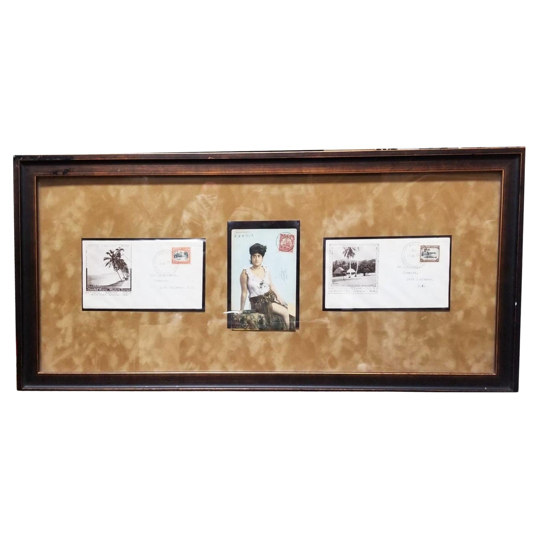
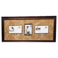
Framed Set of Samoan Island Vintage Postcards
Located in Van Nuys, CA
Evoke the allure of the Samoan Islands with this charming framed set of vintage postcards. Featuring nostalgic imagery capturing the essence of Samoan culture and landscapes, this co...
Category
Vintage 1950s Historical Memorabilia
Materials
Wood, Paper
$281 Sale Price
25% Off
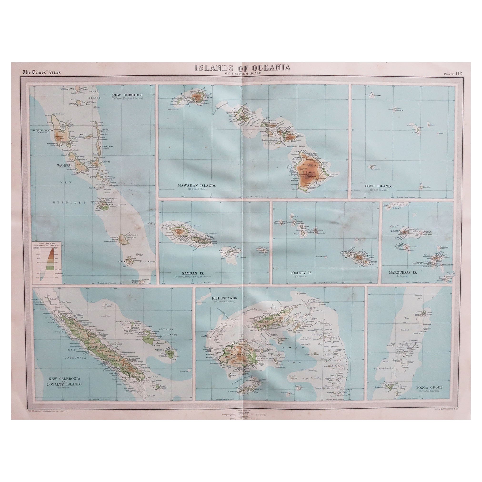
Large Original Vintage Map of The Pacific Islands Including Hawaii
Located in St Annes, Lancashire
Great map of The Pacific Islands
Unframed
Original color
By John Bartholomew and Co. Edinburgh Geographical Institute
Published, circa 1...
Category
Vintage 1920s British Maps
Materials
Paper

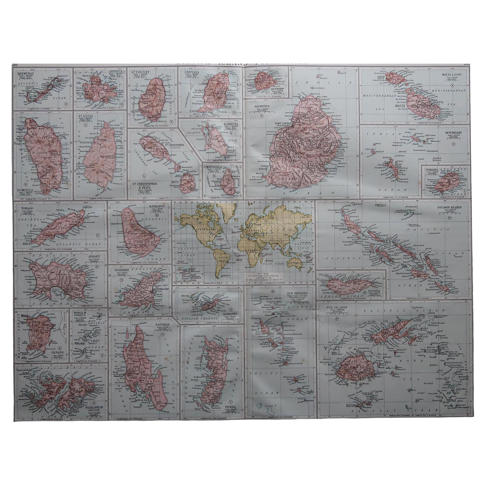
Large Original Vintage Map of British Island Possessions, circa 1920
Located in St Annes, Lancashire
Great map of British Island Possessions
Original color. Good condition
Published by Alexander Gross
Unframed.
Category
Vintage 1920s English Maps
Materials
Paper

Recently Viewed
View AllMore Ways To Browse
Charlotte Perriand Dordogne Chair Robert Sentou
Charlotte Perriand Slat Bench
Chateau Rose Sterling
Chess Carpet
Chess Checkers Backgammon Table
Chesterfield Directors Chairs
Childrens Wagon
China Wash Bowl
Chinese Benches Rustic
Chinese Brass Pots
Chinese Cabbage
Chinese Canton Enamel Plate
Chinese Corbels
Chinese Export Silver Goblets
Chinese Pewter Brass
Chinese Stool Barrel
Chinese Wedding Chest
Chinoiserie Tilt Top Table