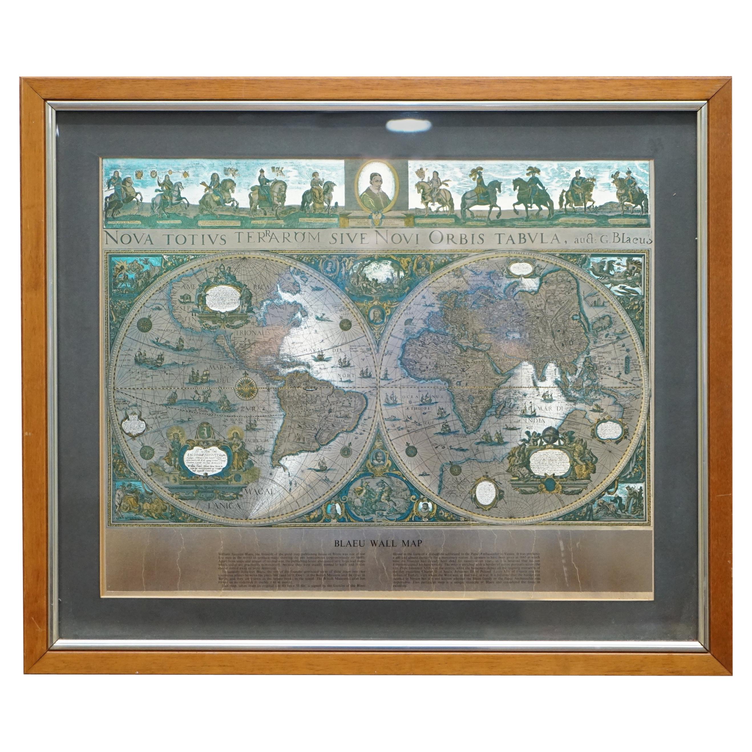
French Territory Map
View Similar Items


1 of 7
French Territory Map
About the Item
You May Also Like
- World Relief MapLocated in Antwerp, BELarge world relief map. Measures: Width 232 cm. Height 158 cm.Category
Mid-20th Century German Mid-Century Modern Maps
MaterialsAcrylic
 $1,977
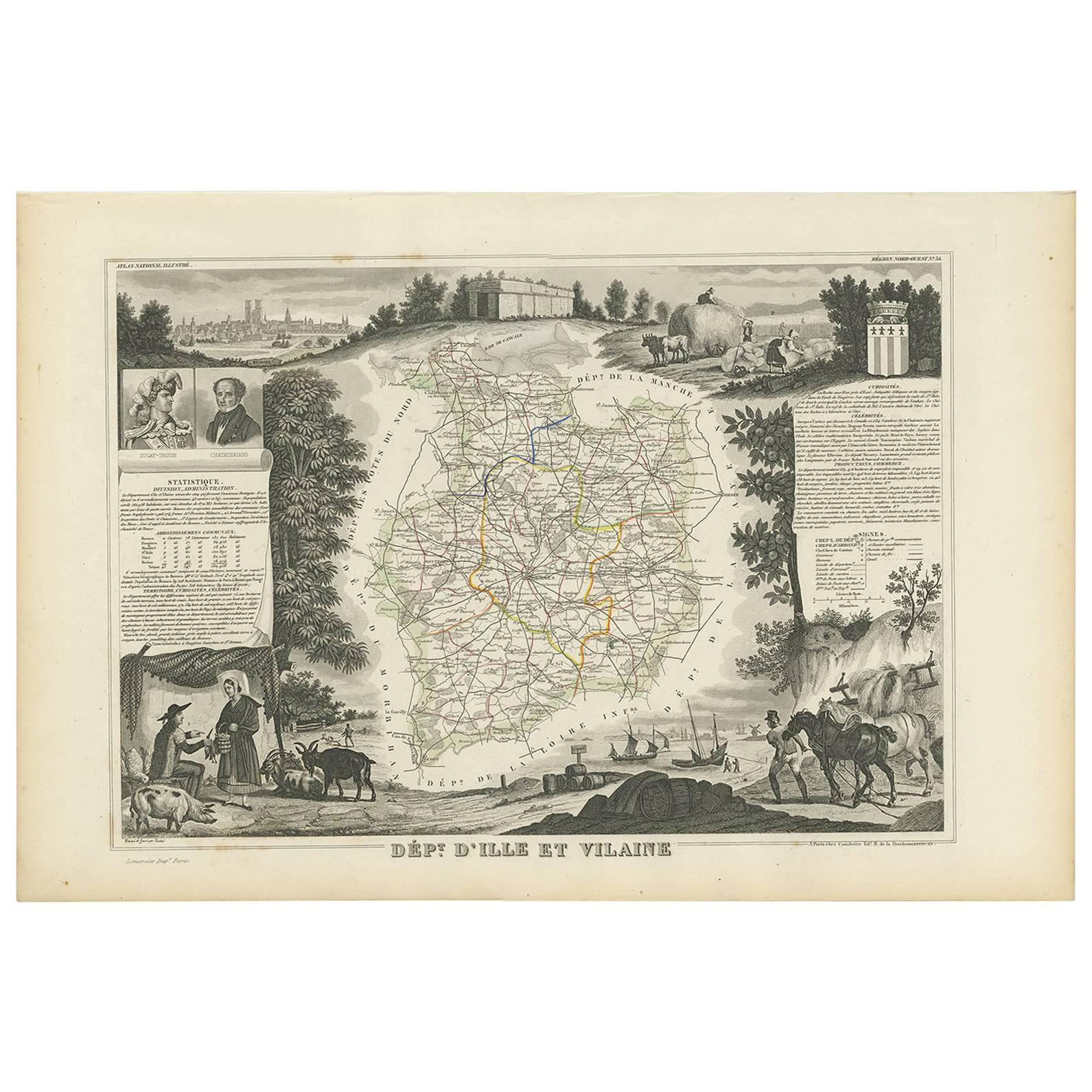
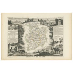
 - Antique Map of Ille et Vilaine ‘France’ by V. Levasseur, 1854Located in Langweer, NLAntique map titled 'Dépt. d'Ille et Vilaine'. Map of the French department of Ille et Vilaine. France. Its coastal area is famous for its seafood, and especially its oysters. The reg...Category
Antique Mid-19th Century Maps
MaterialsPaper
 $158 Sale Price20% Off
 - Antique Hand-Colored Map of France by J.B. Elwe, 1792Located in Langweer, NLAntique map titled 'Carte Nouvelle du Royaume de France'. Beautiful antique map of France, including the Southern part of England. Decorated with cartouche and 12 coats of arms.Category
Antique Late 18th Century Maps
MaterialsPaper

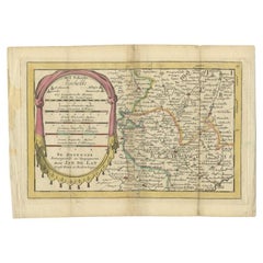
- Antique Map of the Region of Beauvais in France, 1737Located in Langweer, NLUntitled map of the region of Beauvais, France. This map originates from 'Nieuw en beknopt Kaart-Boekje vertoonende de XVII. Nederlandse Provintien (..)'. Artists and Engravers: Au...Category
Antique 18th Century Maps
MaterialsPaper
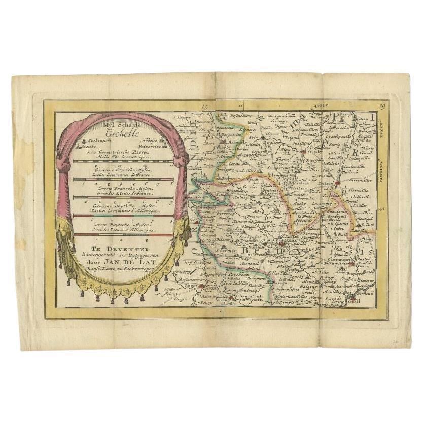
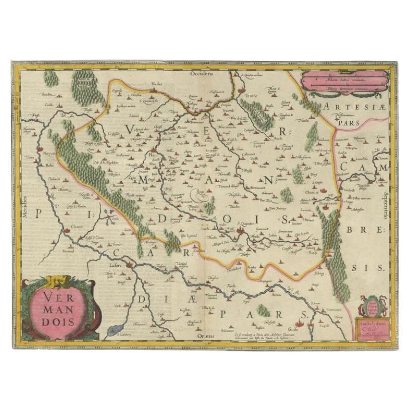
- Antique Map of the Vermandois Region 'Picardy' in France by Janssonius, C.1640Located in Langweer, NLAntique map titled 'Vermandois'. Old map of the Vermandois region, France. Vermandois was a French County that appeared in the Merovingian period. Its na...Category
Antique 17th Century Maps
MaterialsPaper
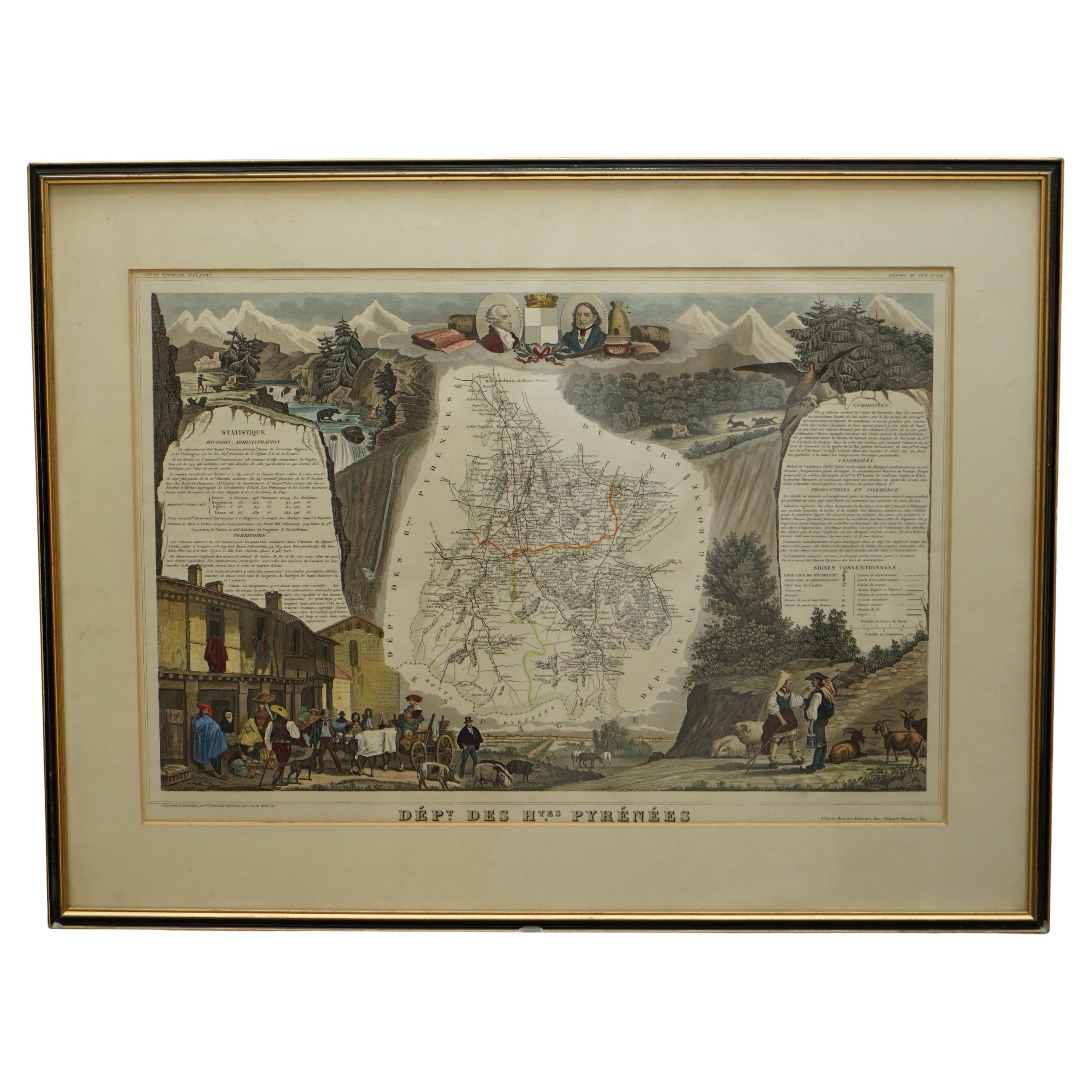
- Fine French Antique 1856 Hand Watercolour Map of Dept Des Hautes PyreneesLocated in GBWe are delighted to offer for sale this stunning 1856 hand watercolour map of the Austrian Alps titled Dept Des Hautes Pyrenees taken from the Atlas Nat...Category
Antique 1850s French Early Victorian Maps
MaterialsPaper
 $672 Sale Price30% Off