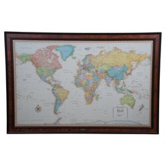
Frontgate Rand McNally World Classic Magnetic Travel Map with Burlwood Frame
View Similar Items


Want more images or videos?
Request additional images or videos from the seller
1 of 13
Frontgate Rand McNally World Classic Magnetic Travel Map with Burlwood Frame
About the Item
- Dimensions:Height: 36 in (91.44 cm)Width: 53 in (134.62 cm)Depth: 1 in (2.54 cm)
- Style:Modern (In the Style Of)
- Materials and Techniques:Burl,Paper
- Period:
- Date of Manufacture:Late 20th Century
- Condition:Wear consistent with age and use. Very Good; Gently Used (Does not include Magnets).
- Seller Location:Dayton, OH
- Reference Number:Seller: 366751stDibs: LU5343233321402

About the Seller
4.9
Platinum Seller
These expertly vetted sellers are 1stDibs' most experienced sellers and are rated highest by our customers.
Established in 2010
1stDibs seller since 2020
1,126 sales on 1stDibs
More From This SellerView All
- Antique Chicago Illinois National Map Commercial Rollup Classroom Census Map 47"Located in Dayton, OHAntique early to mid 20th century double sided hanging map titled the New Commercial and Census Map of Illinois, Edition 1073. Verso shows the National Map of Chicago and Suburbs - O...Category
Early 20th Century North American Maps
MaterialsPaper
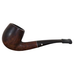
- Antique Kaywoodie Drinkless Burlwood Smoking Tobacco Sherlock Pipe KBB CloverLocated in Dayton, OHAntique Kaywoodie Drinkless filter burl wood smoking pipe, circa 1920s-1930s. Measure: 5".Category
Early 20th Century Art Deco Tobacco Accessories
MaterialsBurl
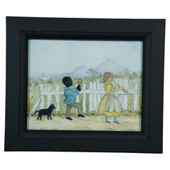
- Antique Folk Art Watercolor Painting Children with Cat Instruments FramedLocated in Dayton, OHAntique folk art style watercolor painting of a pair of children with instruments and a cat walking down a road lined with a white fence. Measures: 9.375” x 1” x 8” / Sans Frame -...Category
Early 20th Century Folk Art Paintings
MaterialsPaint
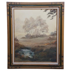
- Vintage Realist Woodland Oil Landscape Painting Signed and FramedLocated in Dayton, OHVintage 1970s oil landscape painting. Features a view through the woods on a foggy day showing trees, grassland and a pond. The canvas is signed lower right and framed in wood with c...Category
Vintage 1970s Modern Paintings
MaterialsHardwood, Paint
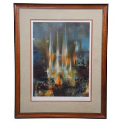
- Leonardo Nierman "Prismatic City" Modernist Lithograph Signed & Framed MCMBy Leonardo NiermanLocated in Dayton, OH"Artist: Leonardo Nierman Title: ""Prismatic City"" Year: 1970s Medium: Lithograph Signed: by the artist in pencil Numbered: Limited edition, 95/250 Beautifully frame with a na...Category
Vintage 1970s Modern Prints
MaterialsPaper
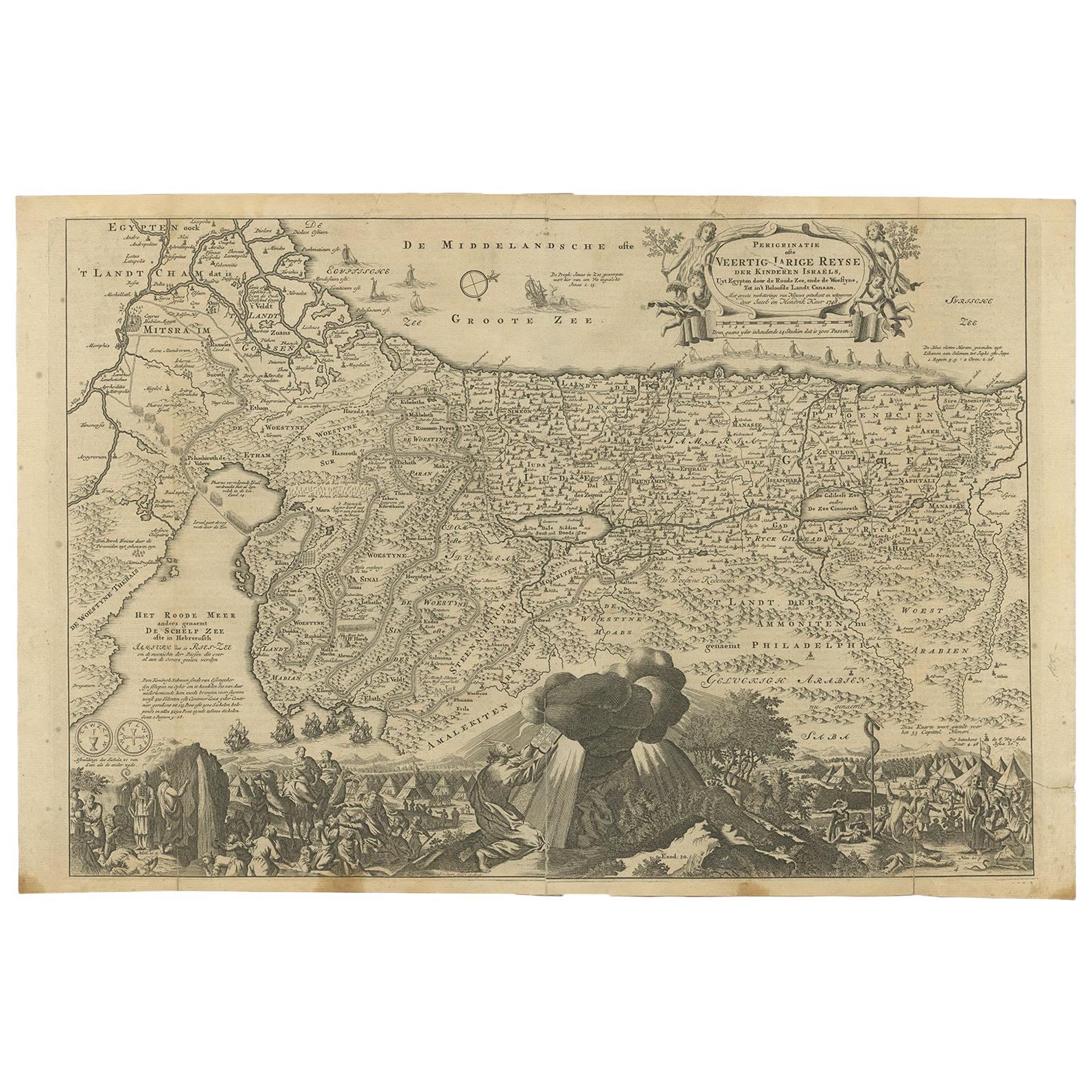
- Antique 1630 Colored Belgium Map Flandria Gallica Flanders Henricus HondiusLocated in Dayton, OH"Antique hand colored map of Flanders, Belgium, circa 1630, engraved by Henricus Hondius. “Henricus Hondius II (1597 – 16 August 1651) was a Dutch eng...Category
Antique Early 17th Century Renaissance Maps
MaterialsPaper


You May Also LikeView All
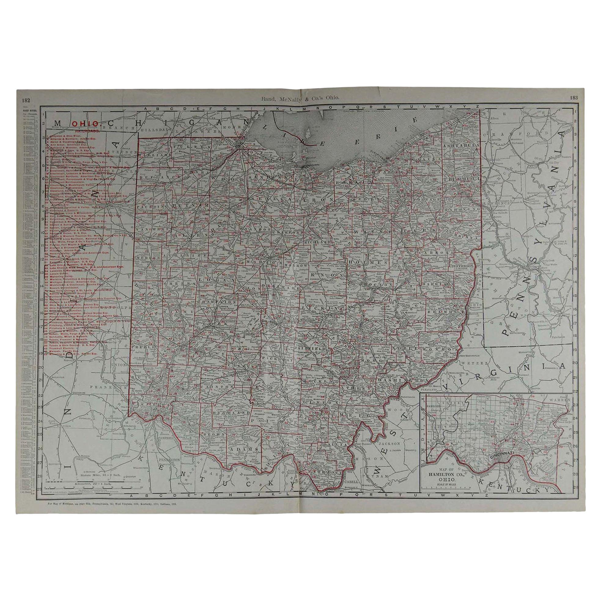
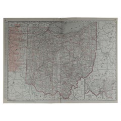
- Large Original Antique Map of Ohio by Rand McNally, circa 1900By Rand McNally & Co.Located in St Annes, LancashireFabulous monochrome map with red outline color Original color By Rand, McNally & Co. Published, circa 1900 Unframed Repairs to minor edge tears.Category
Antique Early 1900s American Edwardian Maps
MaterialsPaper
- Original Antique Map of South Dakota by Rand McNally, circa 1900By Rand McNally & Co.Located in St Annes, LancashireFabulous monochrome map with red outline color Original color By Rand, McNally & Co. Published, circa 1900 Unframed Minor edge tears.Category
Antique Early 1900s American Edwardian Maps
MaterialsPaper
- World Relief MapLocated in Antwerp, BELarge world relief map. Measures: Width 232 cm. Height 158 cm.Category
Mid-20th Century German Mid-Century Modern Maps
MaterialsAcrylic
 $1,993
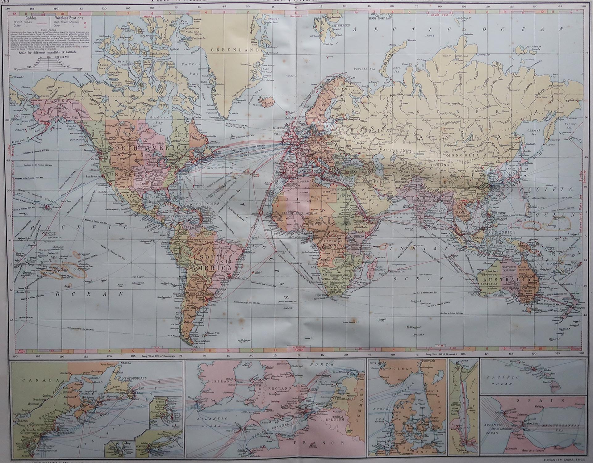
 - Large Original Vintage Map of The World, circa 1920Located in St Annes, LancashireGreat map of The World Original color. Good condition / minor foxing Published by Alexander Gross Unframed.Category
Vintage 1920s English Maps
MaterialsPaper

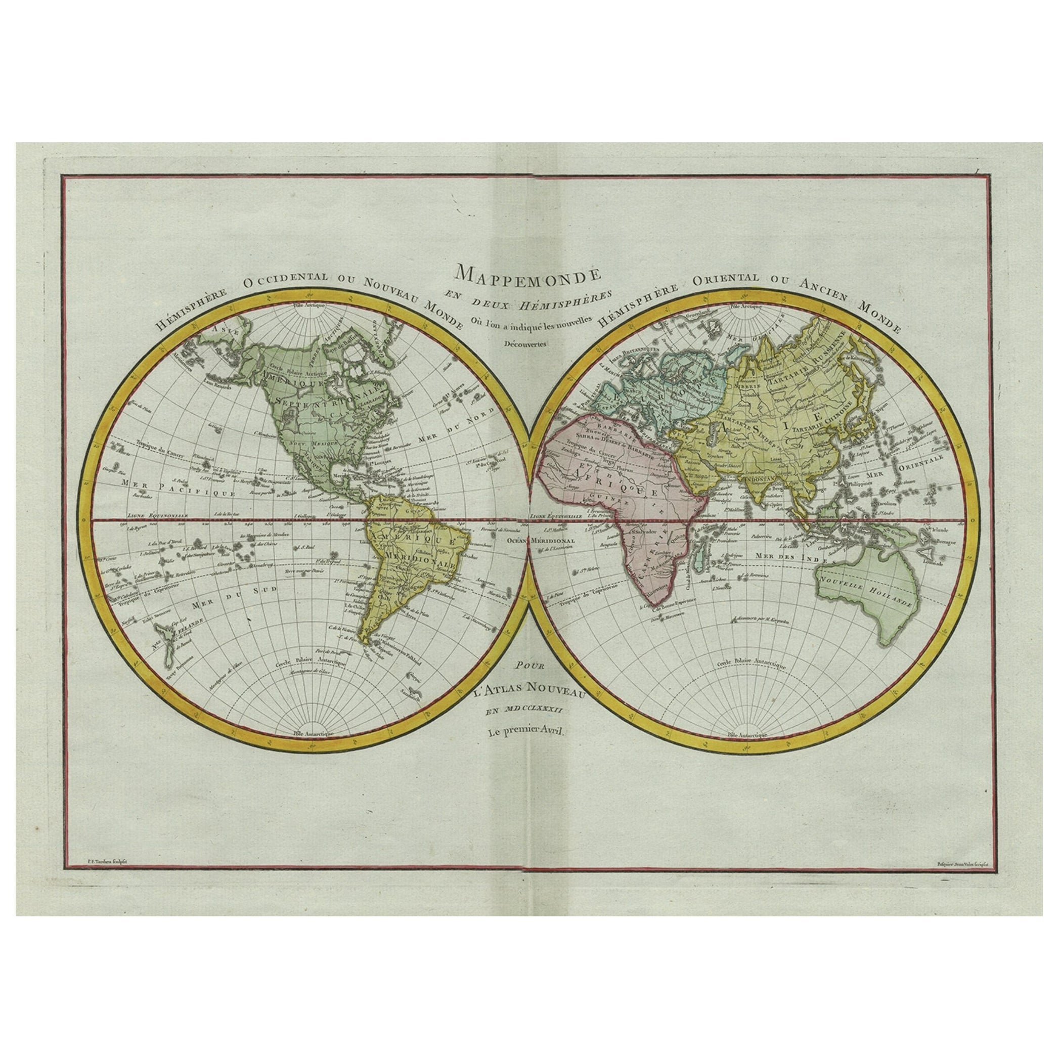
- Large Original Antique Map of The World, Fullarton, C.1870Located in St Annes, LancashireGreat map of the World. Showing both hemispheres From the celebrated Royal Illustrated Atlas Lithograph. Original color. Published by Fullarton, Edinburgh, C.1870 Unframed. Rep...Category
Antique 1870s Scottish Maps
MaterialsPaper
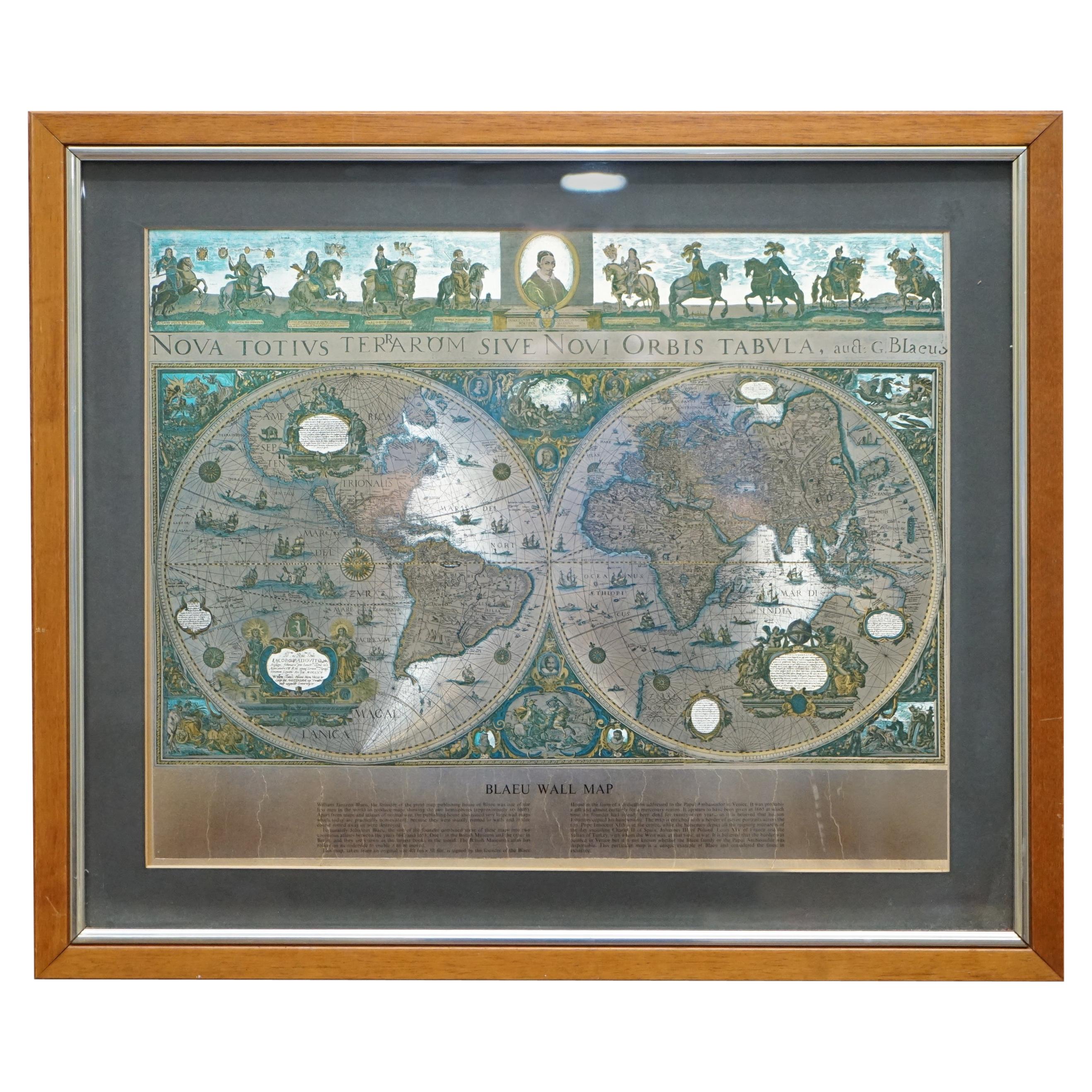
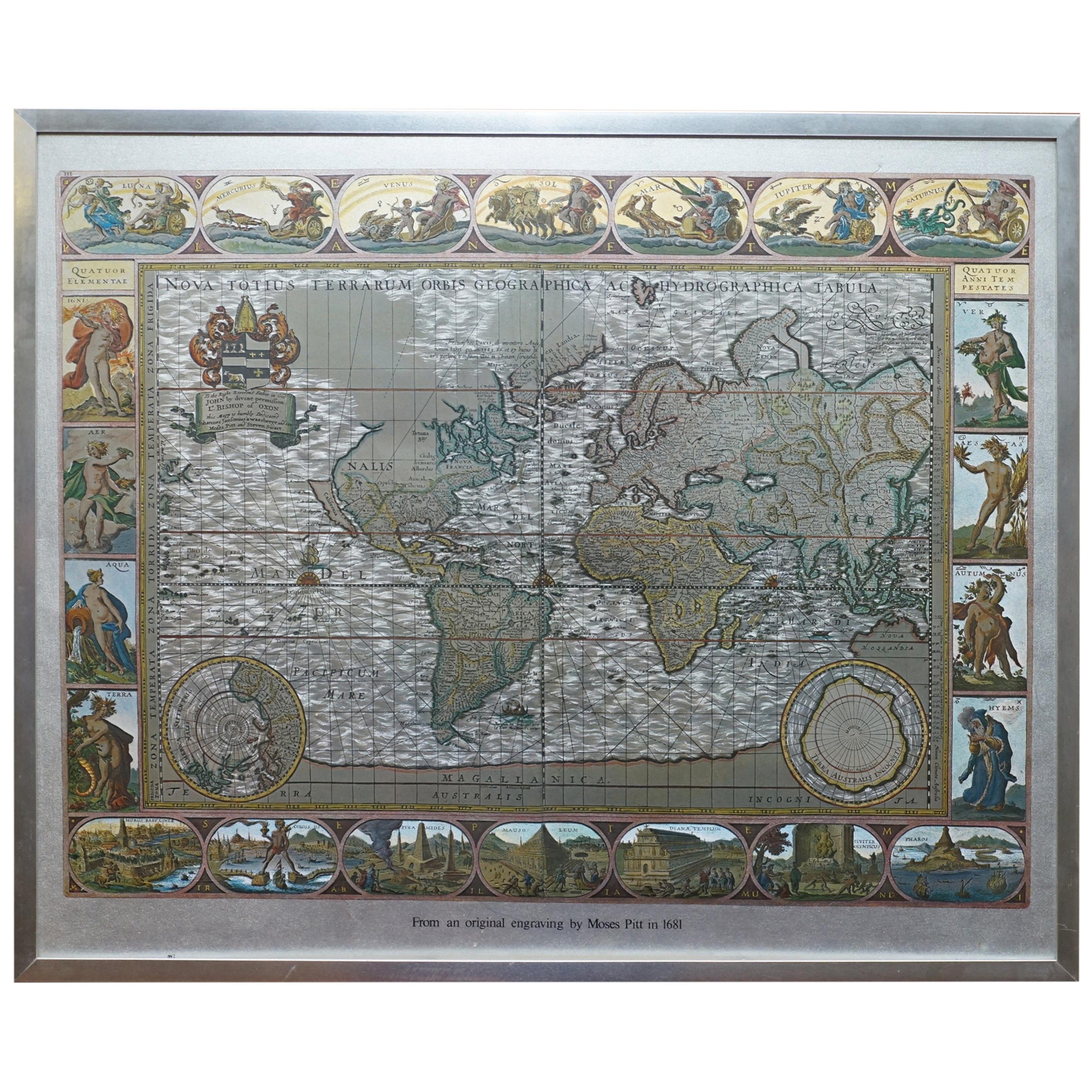
- World Map Silver Leaf Print Based on Original Willem Blaeu Wall Map 1571-1638Located in GBWe are delighted to offer for sale this lovely Antique style pictorial plan map of the globe based on the original Willem Blaeu 1571-1638 engraved in silver leaf foil This is a v...Category
20th Century English Campaign Maps
MaterialsSilver Leaf


Recently Viewed
View AllMore Ways To Browse
Rand Mcnally Vintage Maps
Cartier 1730
Christoph Weigel On Sale
Dao Antique Map
Devonia Antique
Eso Antique Map
Eso Antique Maps
J Karte
M S Merian
Nicolaes Visscher II On Sale
W. & A.K. Johnston On Sale
Willem Blaeu On Sale
Yemen 1789
Andalusia Map
Atlas School Supply On Sale
Old Teak Petite Artisan
Rand Mcnally Map Of California
Rand Mcnally Map Of Colorado