Large Original Vintage Map of South Africa, circa 1920
View Similar Items

Want more images or videos?
Request additional images or videos from the seller
1 of 5
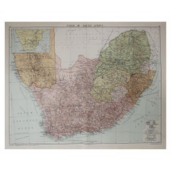
Large Original Vintage Map of South Africa, circa 1920
About the Item
- Dimensions:Height: 25 in (63.5 cm)Width: 19.5 in (49.53 cm)Depth: 0.07 in (1.78 mm)
- Style:Edwardian (Of the Period)
- Materials and Techniques:Paper,Other
- Place of Origin:
- Period:
- Date of Manufacture:1920
- Condition:Wear consistent with age and use.
- Seller Location:St Annes, GB
- Reference Number:1stDibs: LU1836323112822
About the Seller
4.9
Platinum Seller
These expertly vetted sellers are 1stDibs' most experienced sellers and are rated highest by our customers.
1stDibs seller since 2016
2,554 sales on 1stDibs
Associations
International Confederation of Art and Antique Dealers' Associations
More From This SellerView All
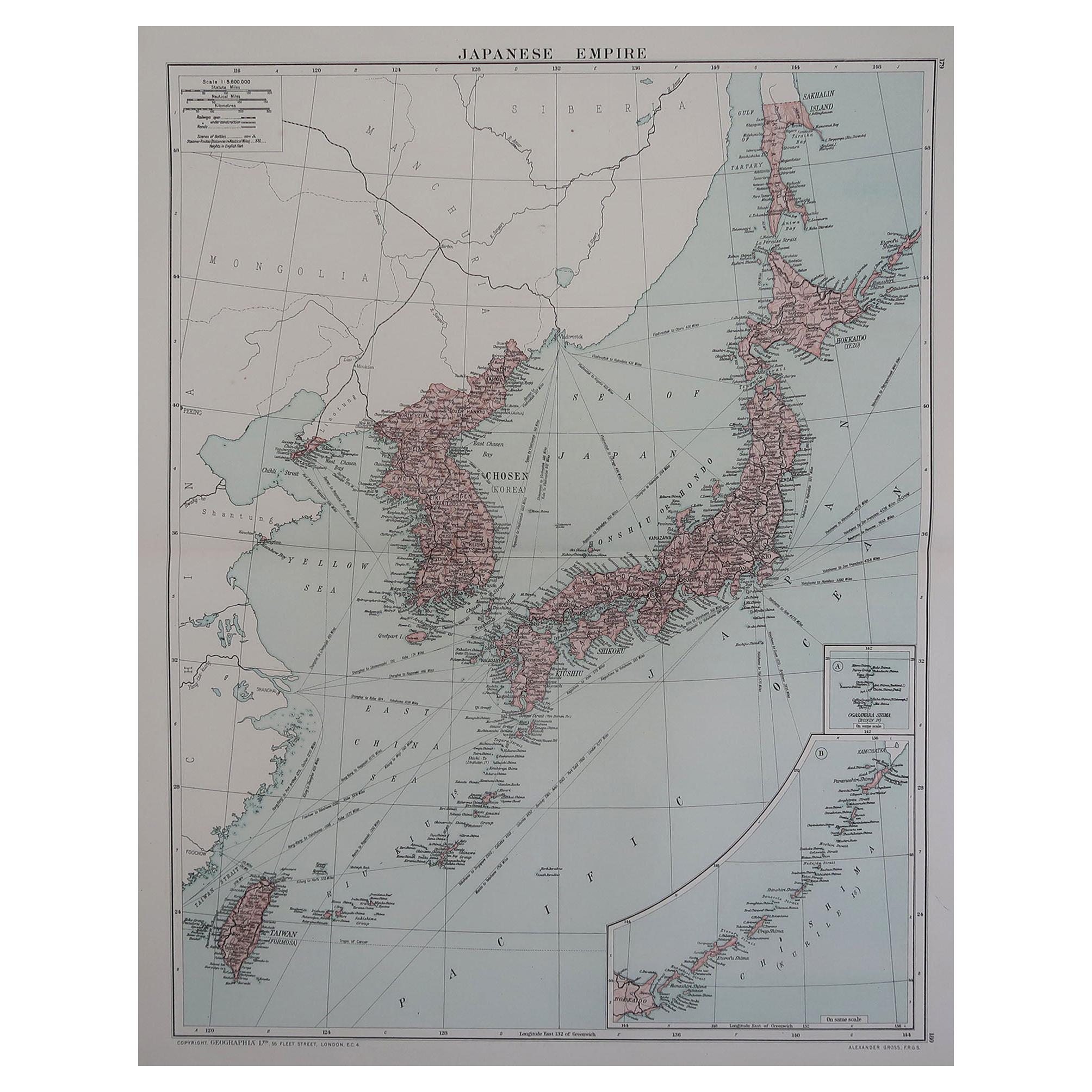
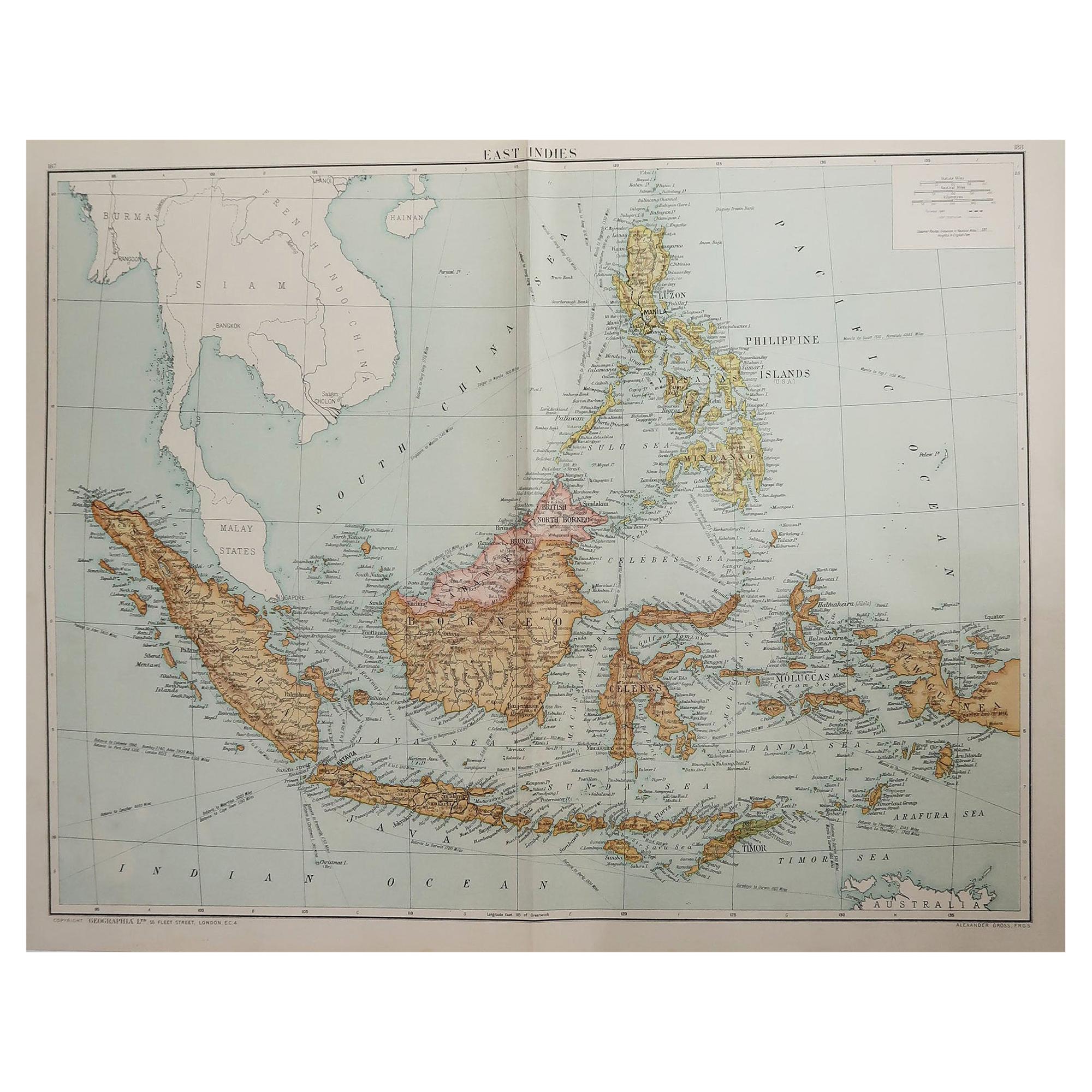
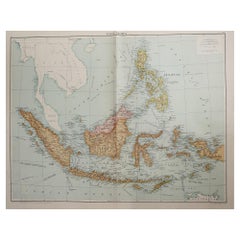
- Large Original Vintage Map of South East Asia, circa 1920Located in St Annes, LancashireGreat map of South East Asia Original color. Good condition Published by Alexander Gross Unframed.Category
Vintage 1920s English Edwardian Maps
MaterialsPaper
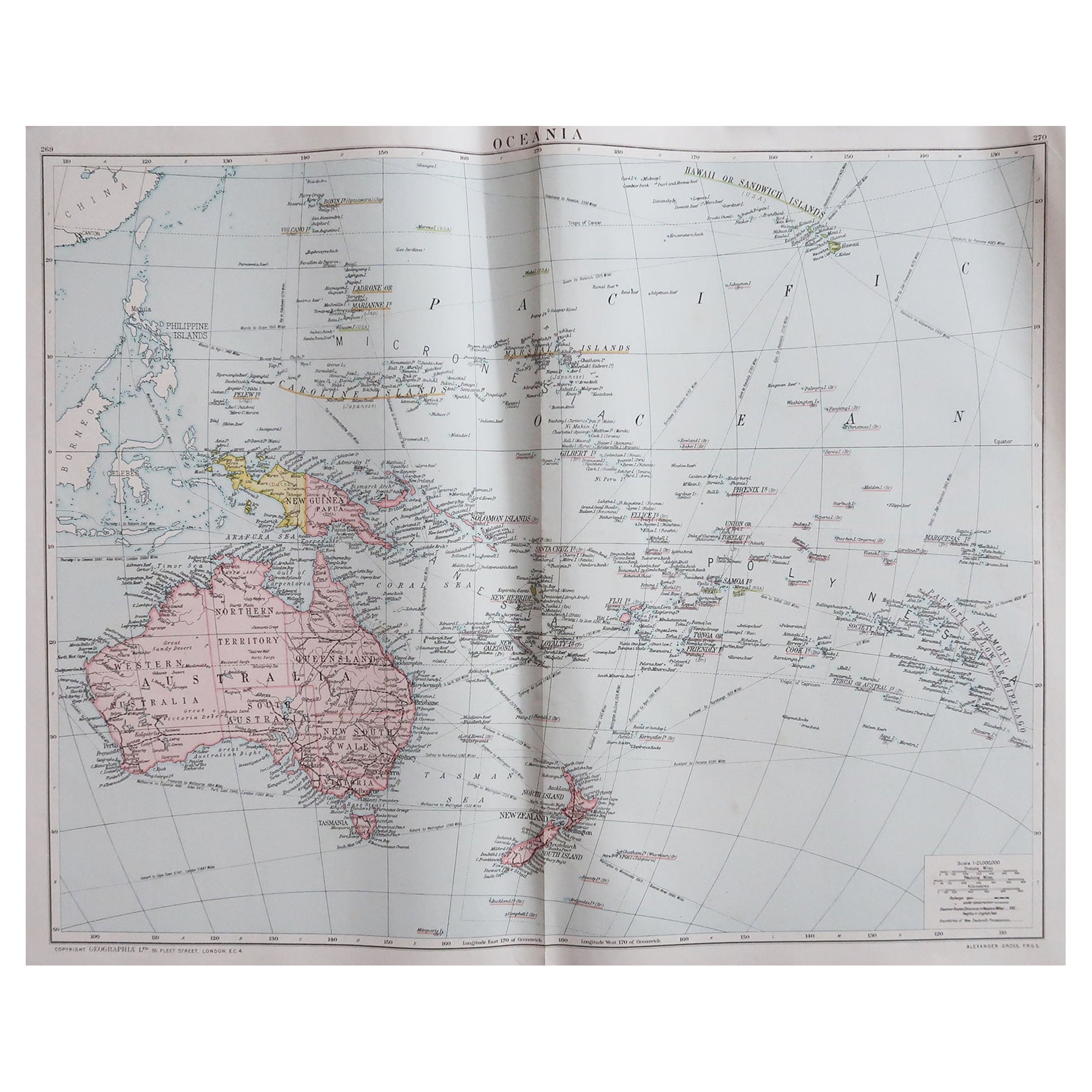
- Large Original Vintage Map of The South Pacific, circa 1920Located in St Annes, LancashireGreat map of The South Pacific Original color. Good condition / repairs to minor edge tears on top edge Published by Alexander Gross Unf...Category
Vintage 1920s English Edwardian Maps
MaterialsPaper
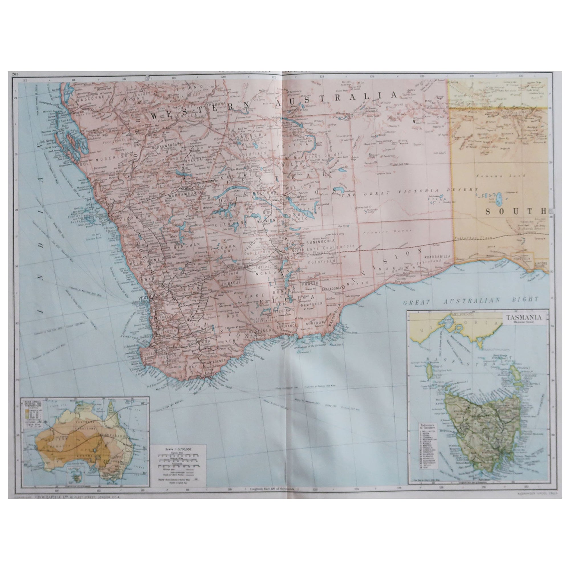
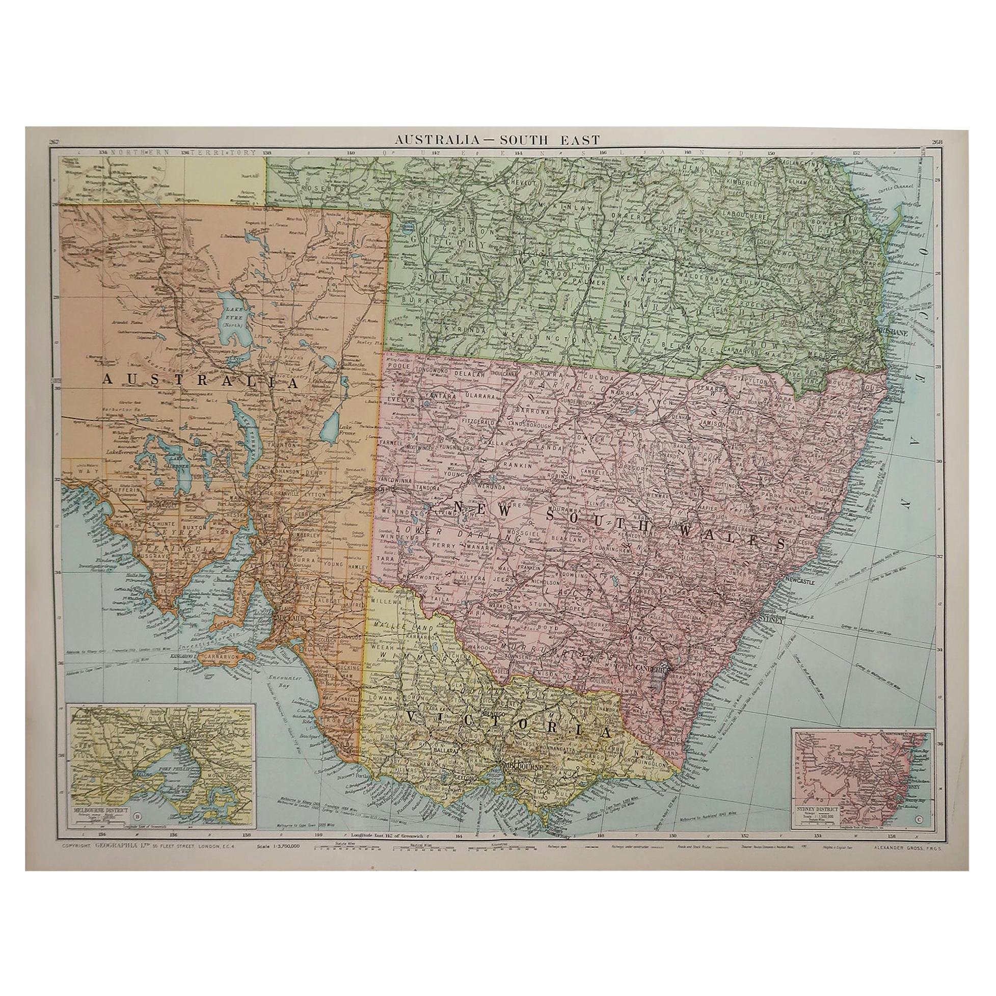
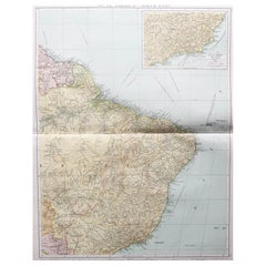
- Large Original Vintage Map of New South Wales, Australia, circa 1920Located in St Annes, LancashireGreat map of New South Wales Original color. Good condition Published by Alexander Gross Unframed.Category
Vintage 1920s English Edwardian Maps
MaterialsPaper
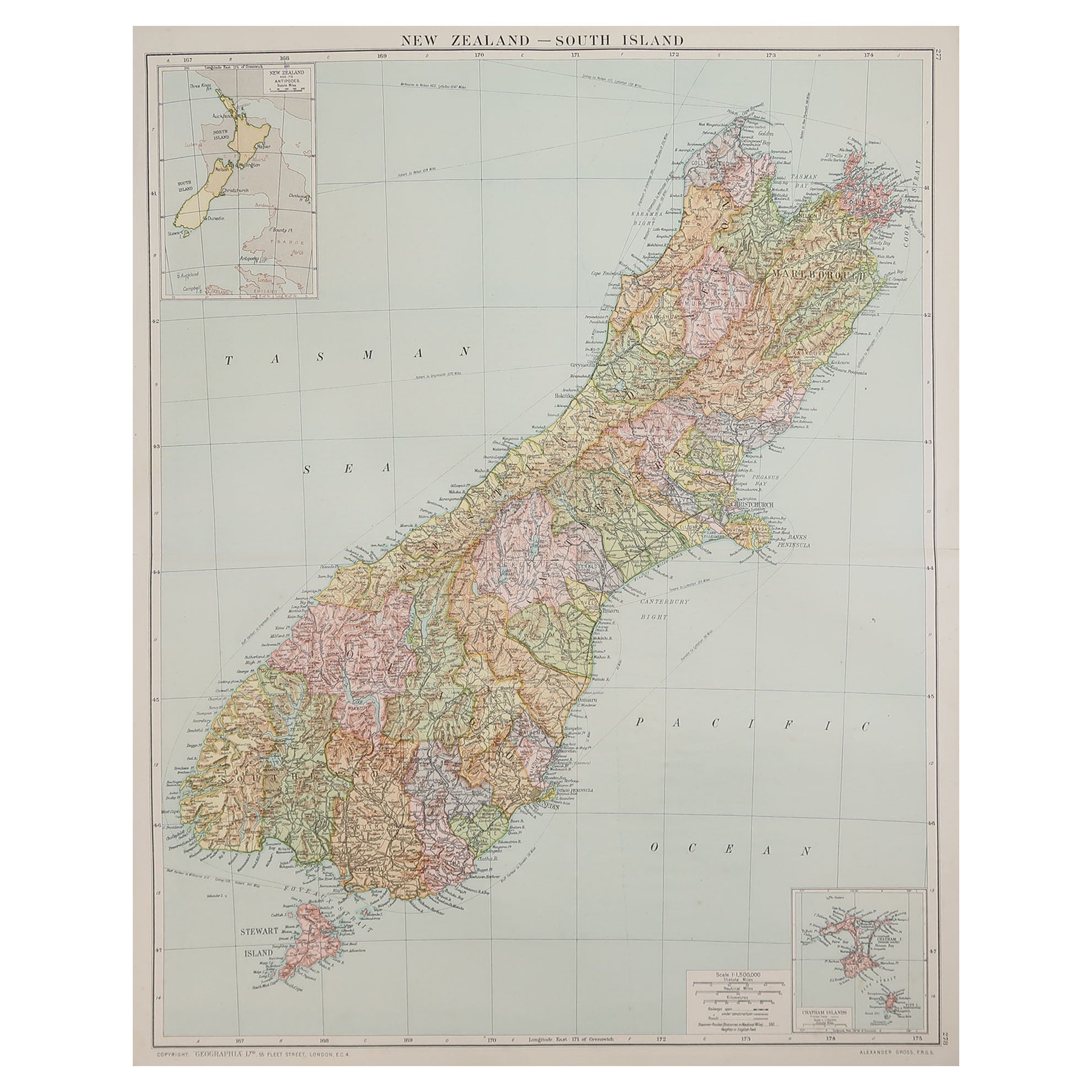
- Large Original Vintage Map of New Zealand, South Island, circa 1920Located in St Annes, LancashireGreat map of South Island, New Zealand Original color. Good condition / repair to a minor tear on right edge Published by Alexander Gross Unframed.Category
Vintage 1920s English Edwardian Maps
MaterialsPaper
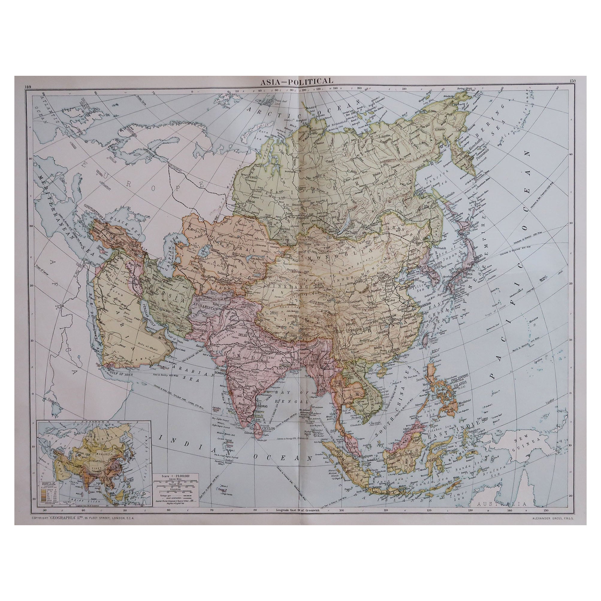
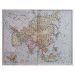
- Large Original Vintage Map of Asia, circa 1920Located in St Annes, LancashireGreat map of Asia Original color. Good condition Published by Alexander Gross Unframed.Category
Vintage 1920s English Edwardian Maps
MaterialsPaper
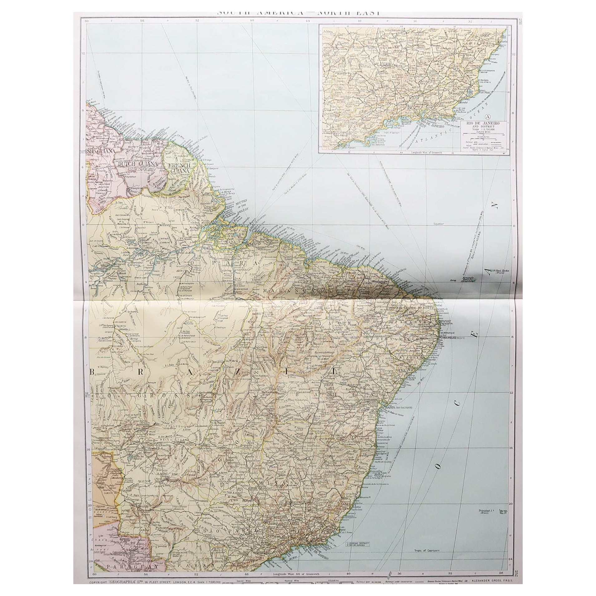
- Large Original Vintage Map of Brazil, circa 1920Located in St Annes, LancashireGreat map of Brazil Original color. Good condition Published by Alexander Gross Unframed.Category
Vintage 1920s English Edwardian Maps
MaterialsPaper


You May Also Like
- Antique Map of Africa by Dufour, circa 1834Located in Langweer, NLAntique map titled 'Afrique'. Uncommon map of Africa. Published by or after A.H. Dufour, circa 1834. Source unknown, to be determined.Category
Antique Mid-19th Century Maps
MaterialsPaper
 $175 Sale Price20% Off
 - Antique Map of South America by Wyld, circa 1850By J. WyldLocated in Langweer, NLBeautiful folding map of South America titled 'Colombia Prima or South America Drawn from the Large Map in Eight Sheets by Louis Stanislas D ' Arcy Delarochette'. Three insets in the...Category
Antique Mid-19th Century British Maps
MaterialsPaper
- Antique Map of Coiba Island, Panama, South America, C.1740Located in Langweer, NLAntique map titled 'Plan de la partie orientale de l'Isle de Quibo'. Map of the eastside of Coiba Island (Quibo), Panama, showing the shoreline around Port de Dames indicating soft s...Category
Antique 18th Century Maps
MaterialsPaper
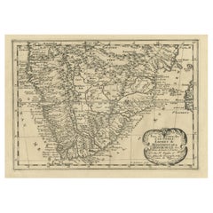
- Original Copperplate Engraved Detailed Map of South Africa, ca.1680Located in Langweer, NLAntique map titled 'Pays et Coste des Caffres Empires de Monomotapa (..)'. Detailed map of South Africa. Engraved by Antoine d'Winter for a Dutch edition of Sanson's pocket atlas...Category
Antique 1680s Maps
MaterialsPaper
 $316 Sale Price20% Off
 - Antique Map of South East Asia, Australia and the Indian Ocean, 1726By F. ValentijnLocated in Langweer, NLAntique map titled 'Tabula Indiae Orientalis'. Beautiful detailed map of Australia, Southeast Asia and the Indian Ocean. The map features a fine depiction of the outlines of the western two-thirds of Australia, based on the discoveries of explorers working for the Dutch East India Company (the VOC). These include Willem Jansz's discoveries in the Gulf of Carpentaria in 1606; the encounters of Dirk...Category
Antique Mid-18th Century Dutch Maps
MaterialsPaper
 $5,535 Sale Price30% OffFree Shipping
 - London 1744 Published Watercolour Antique Map of East Africa by Eman BowenLocated in GBWe are delighted to offer for sale this New and Accurate Map of Nubia & Abissinia, together with all the Kingdoms Tributary Thereto, and bordering upon them published in 1744 by Emanuel Bowen This is a decorative antique engraved map of East Africa...Category
Antique 1740s English George III Maps
MaterialsPaper


