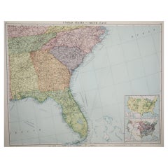
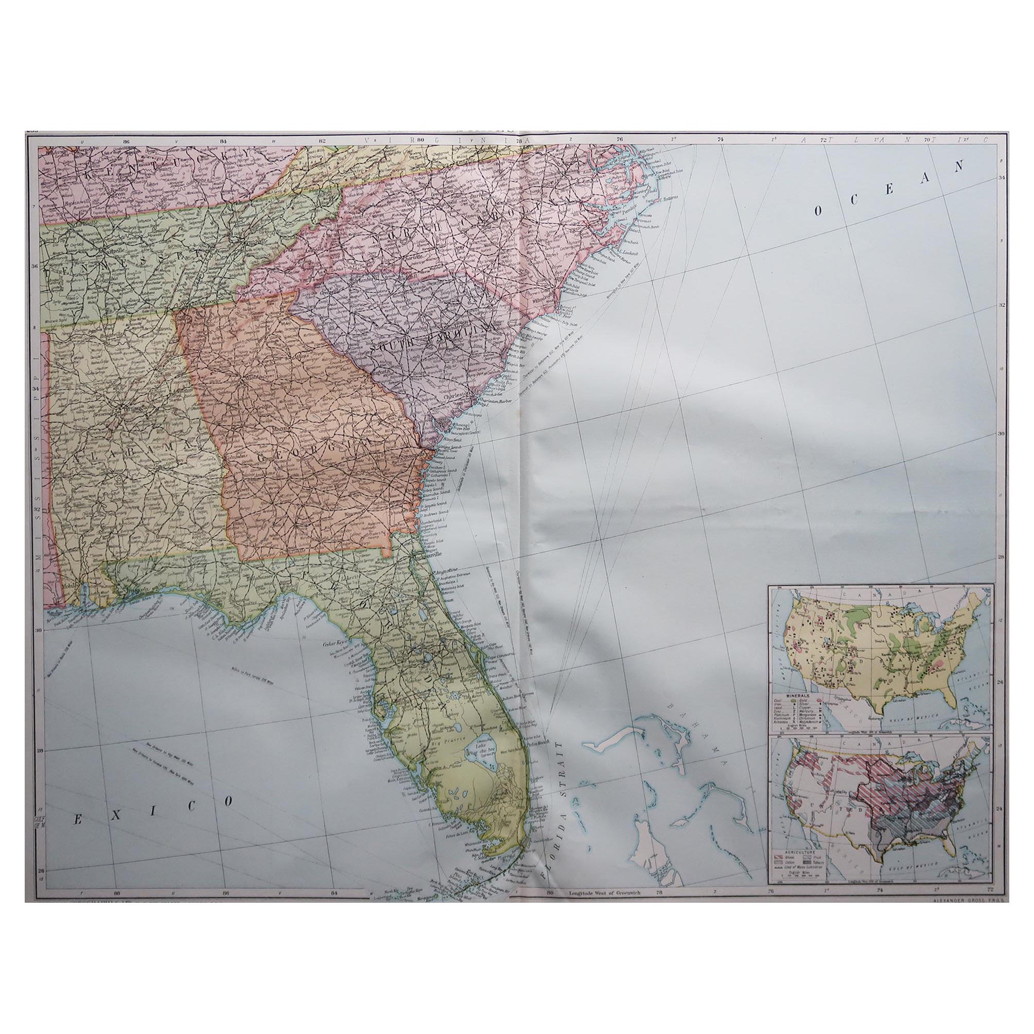
Large Original Vintage Map of the South Eastern States Inc. Florida, circa 1920
View Similar Items
Want more images or videos?
Request additional images or videos from the seller
1 of 5
Large Original Vintage Map of the South Eastern States Inc. Florida, circa 1920
About the Item
- Dimensions:Height: 19.5 in (49.53 cm)Width: 25 in (63.5 cm)Depth: 0.07 in (1.78 mm)
- Style:Victorian (Of the Period)
- Materials and Techniques:Paper,Other
- Place of Origin:
- Period:
- Date of Manufacture:1920
- Condition:Wear consistent with age and use.
- Seller Location:St Annes, GB
- Reference Number:1stDibs: LU1836323807162
About the Seller
4.9
Platinum Seller
These expertly vetted sellers are 1stDibs' most experienced sellers and are rated highest by our customers.
1stDibs seller since 2016
2,581 sales on 1stDibs
Associations
International Confederation of Art and Antique Dealers' Associations
More From This SellerView All
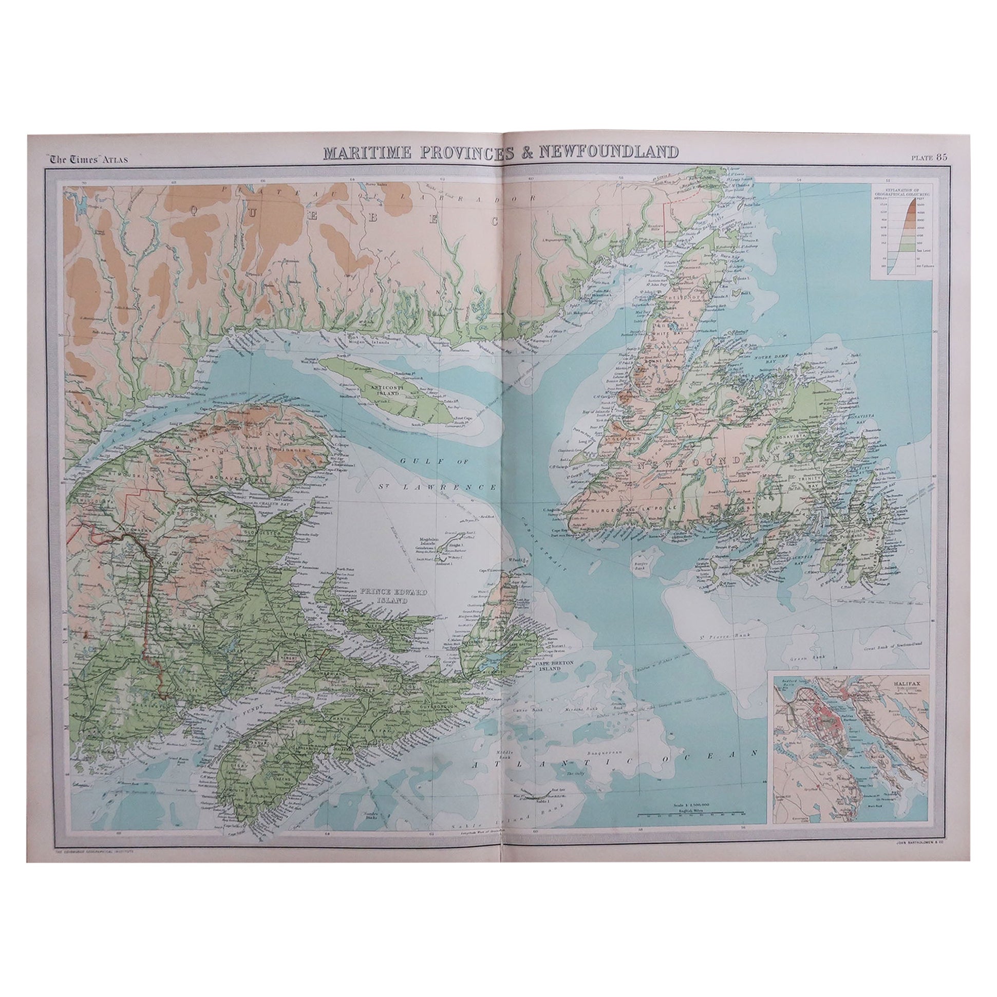
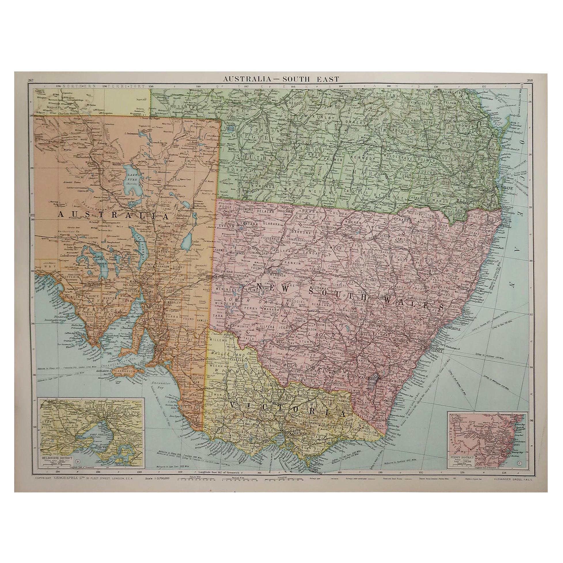
- Large Original Vintage Map of the South Eastern States Inc. Florida, circa 1920Located in St Annes, LancashireGreat map of The South Eastern States Original color. Good condition Published by Alexander Gross Unframed.Category
Vintage 1920s English Maps
MaterialsPaper
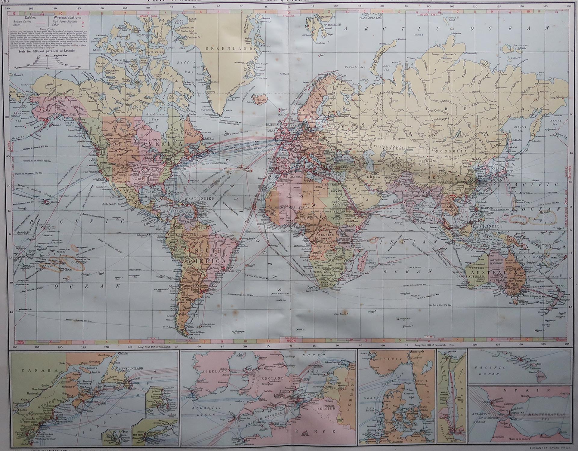
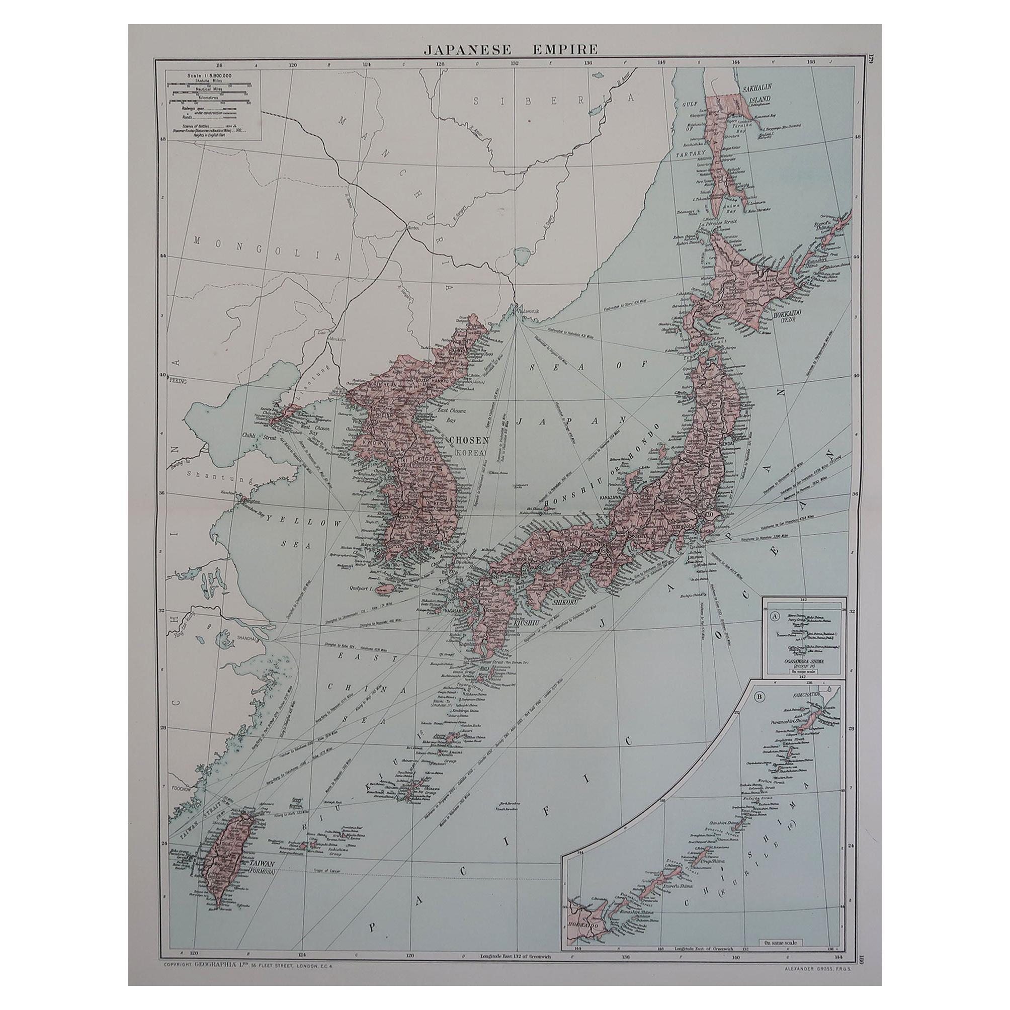
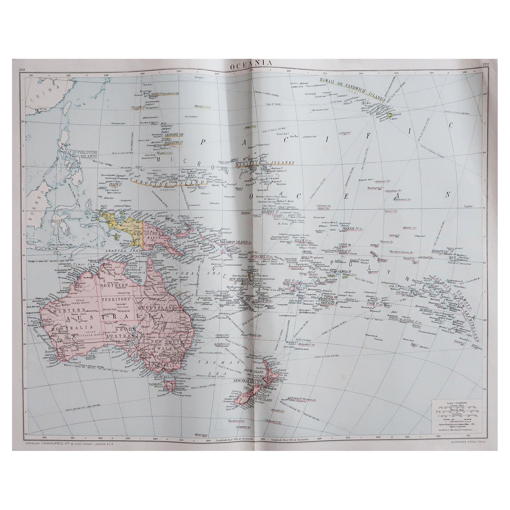
- Large Original Vintage Map of The South Pacific, circa 1920Located in St Annes, LancashireGreat map of The South Pacific Original color. Good condition / repairs to minor edge tears on top edge Published by Alexander Gross Unf...Category
Vintage 1920s English Edwardian Maps
MaterialsPaper
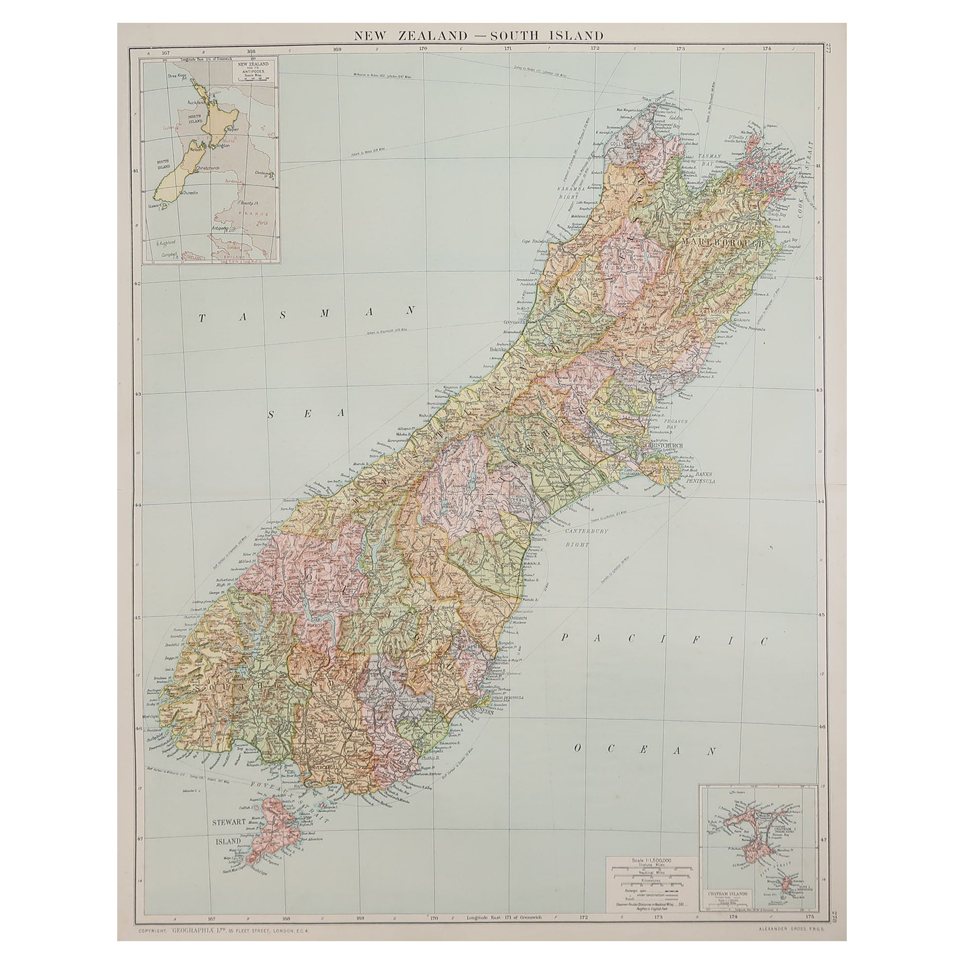
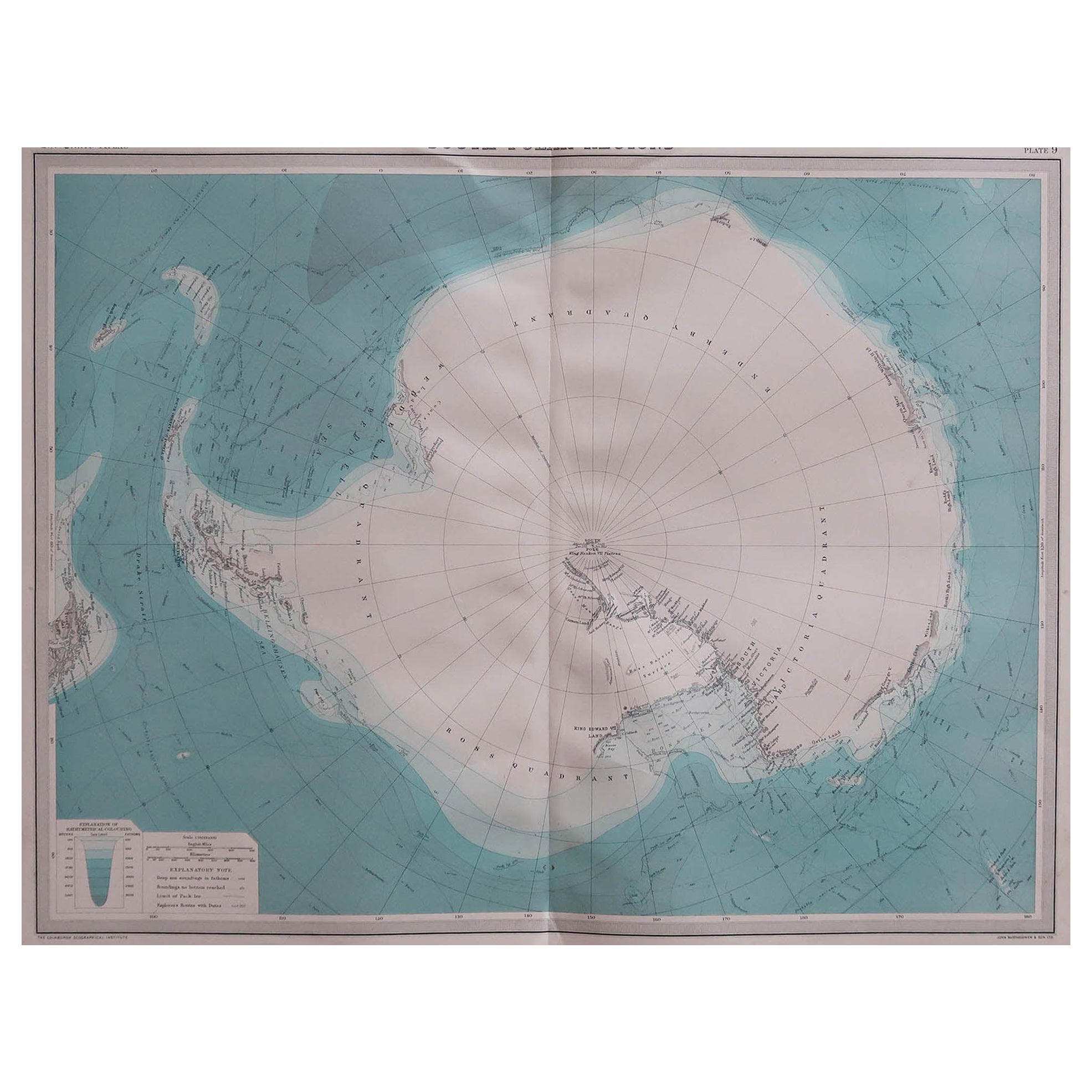
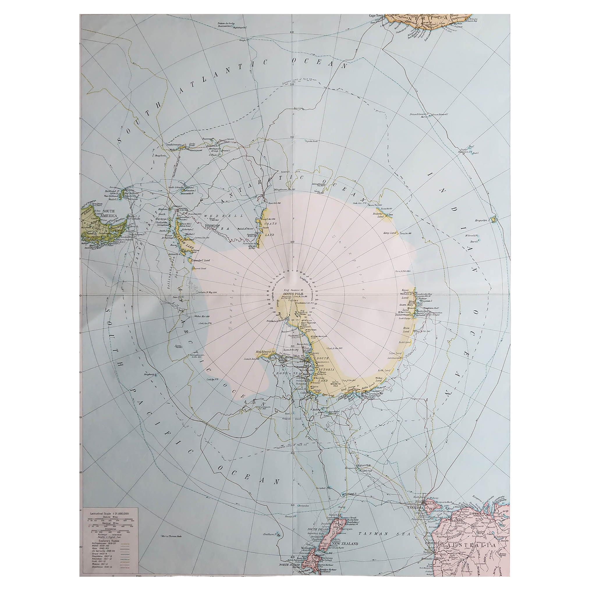
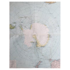
- Large Original Vintage Map of The South Pole, circa 1920Located in St Annes, LancashireGreat map of The South Pole Original color. Published by Alexander Gross Unframed. Repairs to minor edge tearsCategory
Vintage 1920s English Maps
MaterialsPaper
- Large Original Vintage Map of the South Pole, circa 1920Located in St Annes, LancashireGreat map of the South pole. Unframed. Original color. By John Bartholomew and Co. Edinburgh Geographical Institute. Published, circa 1920.Category
Vintage 1920s British Maps
MaterialsPaper
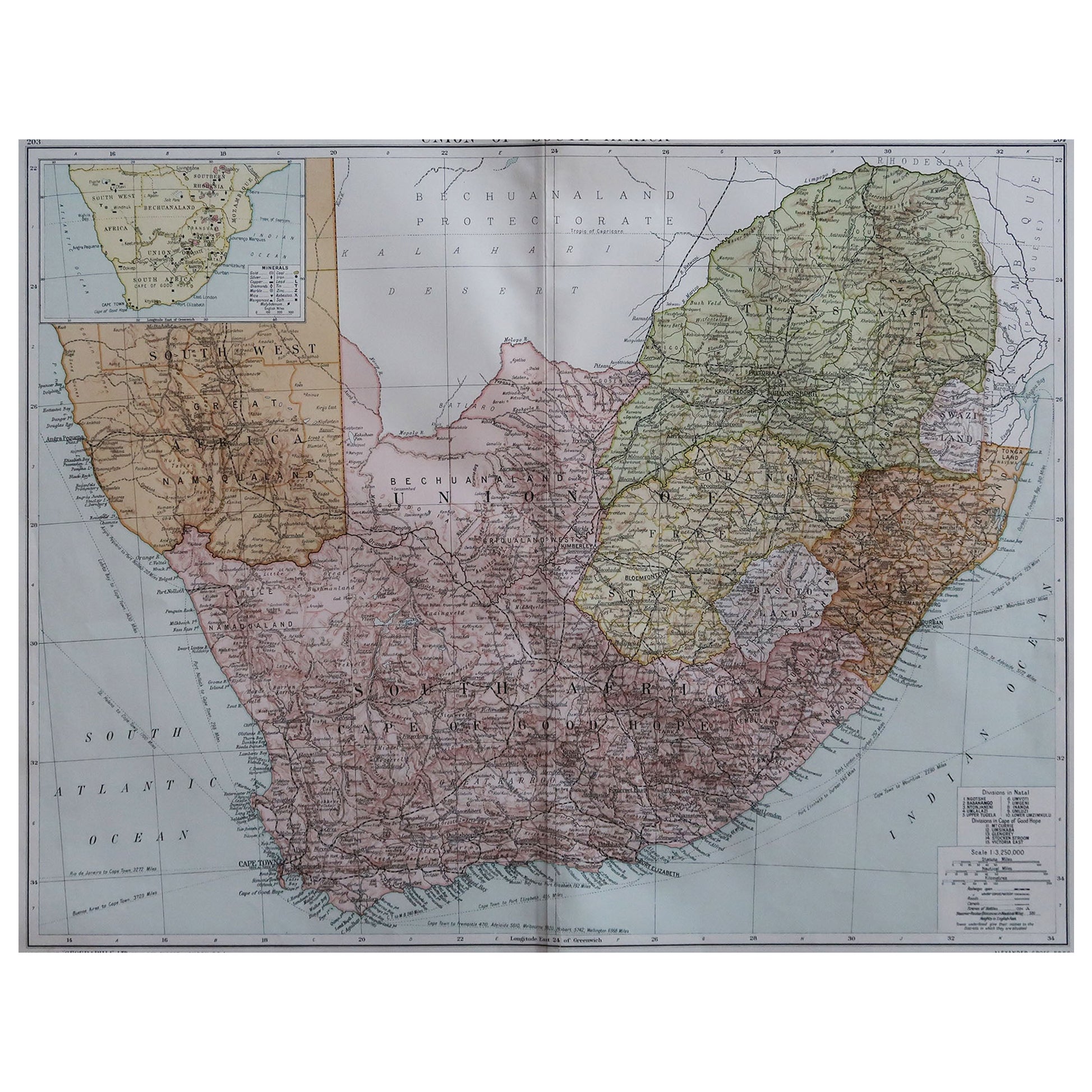
- Large Original Vintage Map of South Africa, circa 1920Located in St Annes, LancashireGreat map of South Africa Original color. Good condition / repair to a minor edge tear middle bottom Published by Alexander Gross Unframed. ...Category
Vintage 1920s English Edwardian Maps
MaterialsPaper
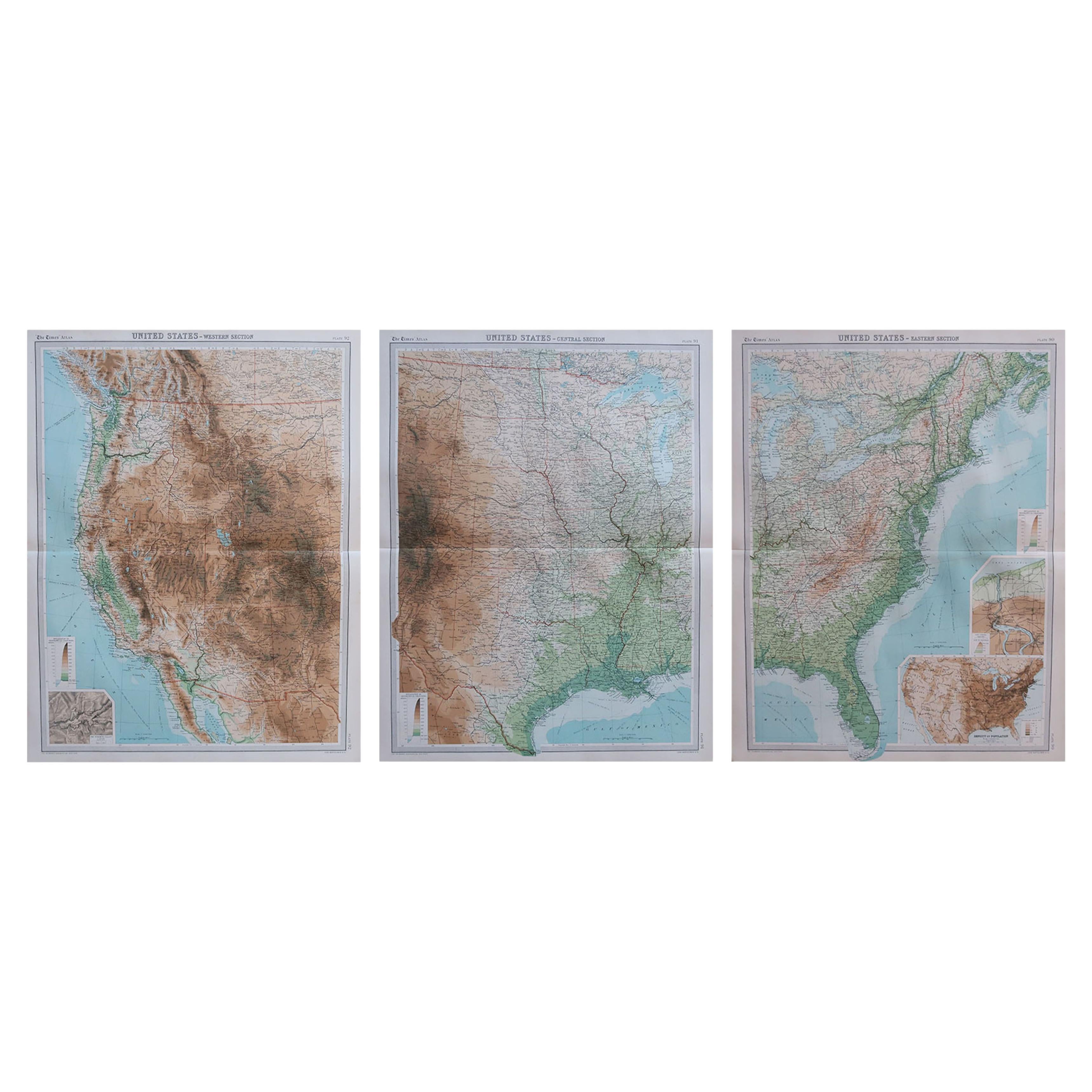
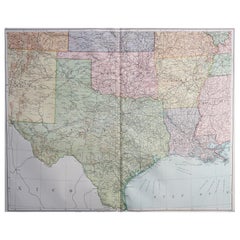
- Large Original Vintage Map of Texas and Adjacent States, circa 1920Located in St Annes, LancashireGreat map of Texas and adjacent States Original color. Good condition Published by Alexander Gross Unframed.Category
Vintage 1920s English Maps
MaterialsPaper


You May Also Like
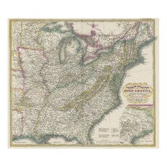
- Antique Map of the Eastern United States with Only the Northern Part of FloridaLocated in Langweer, NLAntique map titled 'Verein-Staaten von Nord-America mit Ausnahme Florida's und der Westlichen Territorien'. This map extends as far west as Louisiana and only includes the northern p...Category
Antique Mid-19th Century Maps
MaterialsPaper
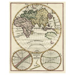
- Antique Map of the Eastern Hemisphere by Wyld, 1842Located in Langweer, NLAntique map titled 'Eastern Hemisphere'. Large map depicting the continents Europe, Asia, Afrika and Australia. Artists and Engravers: James Wyld (1812–1887) was a British geograph...Category
Antique 19th Century Maps
MaterialsPaper

- Antique Map Eastern Mediterranean by D. Stoopendaal 'circa 1710'Located in Langweer, NLAntique map Middle East titled 'De Beschryving van de Reysen Pauli en van de Andere Apostelen'. Antique map of the Eastern Mediterranean with details of the travels by Apostle Paul...Category
Antique Early 18th Century Dutch Maps
MaterialsPaper
 $307 Sale Price20% Off
 - Antique Map of South America by Wyld, circa 1850By J. WyldLocated in Langweer, NLBeautiful folding map of South America titled 'Colombia Prima or South America Drawn from the Large Map in Eight Sheets by Louis Stanislas D ' Arcy Delarochette'. Three insets in the...Category
Antique Mid-19th Century British Maps
MaterialsPaper

- Original Antique Engraving of the Eastern Hemisphere, c.1700Located in Langweer, NLAntique map titled 'Proiectio Optica Aequinoctia lis Hemishaerii Orientalis' - Map of the Eastern Hemisphere with Africa, Europe, Asia and Nova Hollandia...Category
Antique 17th Century Maps
MaterialsPaper
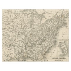
- Steel Engraved Map of the United States with Inset Map of FloridaLocated in Langweer, NLAntique map titled 'United States'. Steel engraved map of the United States. With small inset map of the continuation of Florida. Source unknown, to be determined. Published circa 1843.Category
Antique Mid-19th Century Maps
MaterialsPaper