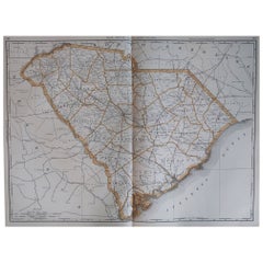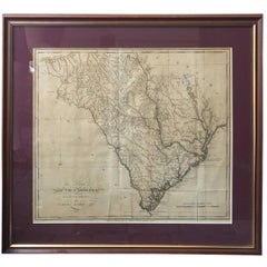
Lewis' the State of South Carolina, 1795 Map
View Similar Items


1 of 9
Lewis' the State of South Carolina, 1795 Map
About the Item
- Dimensions:Height: 22 in (55.88 cm)Width: 23.5 in (59.69 cm)Depth: 0.75 in (1.91 cm)
- Period:1790-1799
- Date of Manufacture:1795
- Condition:Wear consistent with age and use.
- Seller Location:Atlanta, GA
- Reference Number:Seller: 17-ART-0211stDibs: LU82729223621
You May Also Like
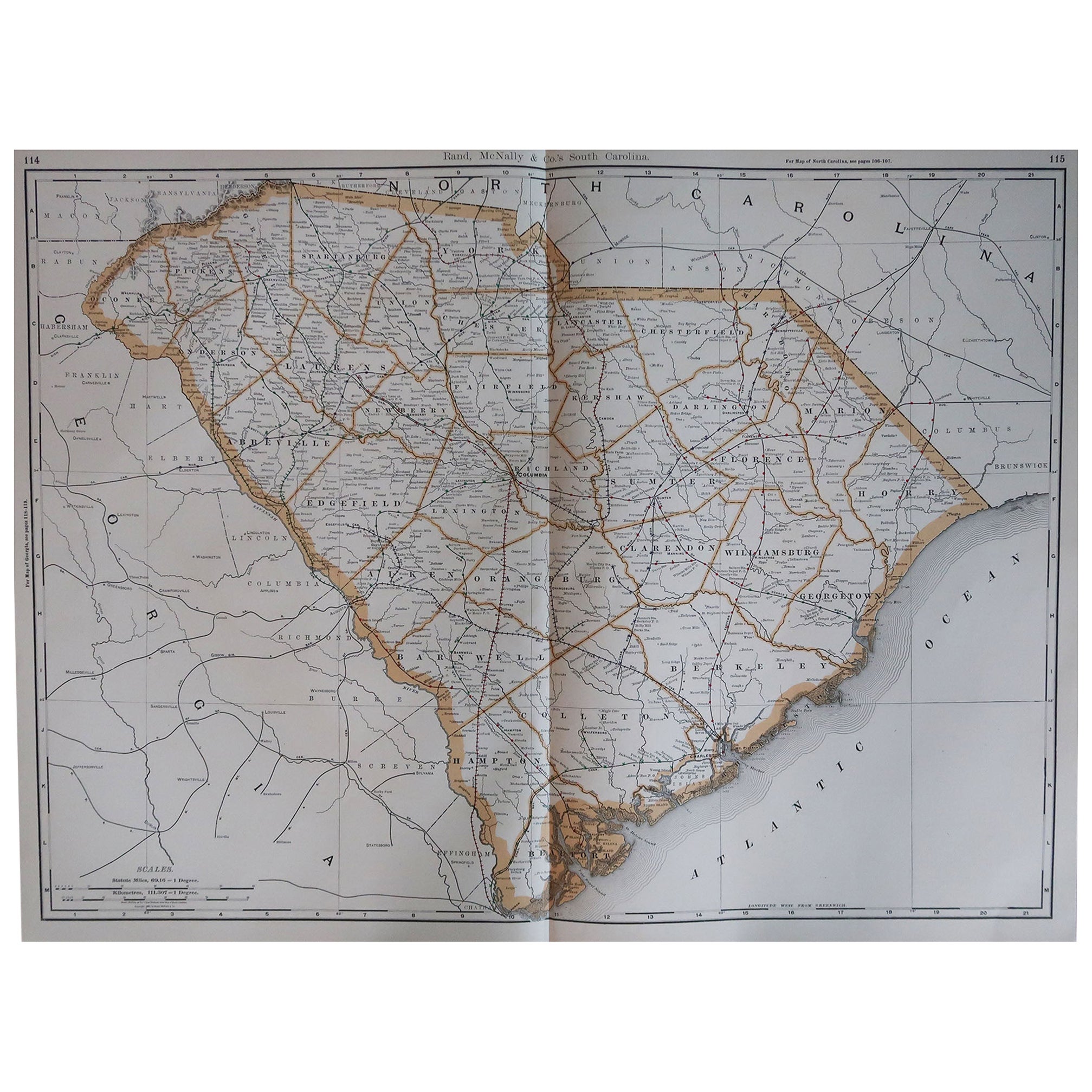
- Large Original Antique Map of South Carolina, USA, 1894By Rand McNally & Co.Located in St Annes, LancashireFabulous map of South Carolina Original color By Rand, McNally & Co. Published, 1894 Unframed Free shipping.Category
Antique 1890s American Maps
MaterialsPaper
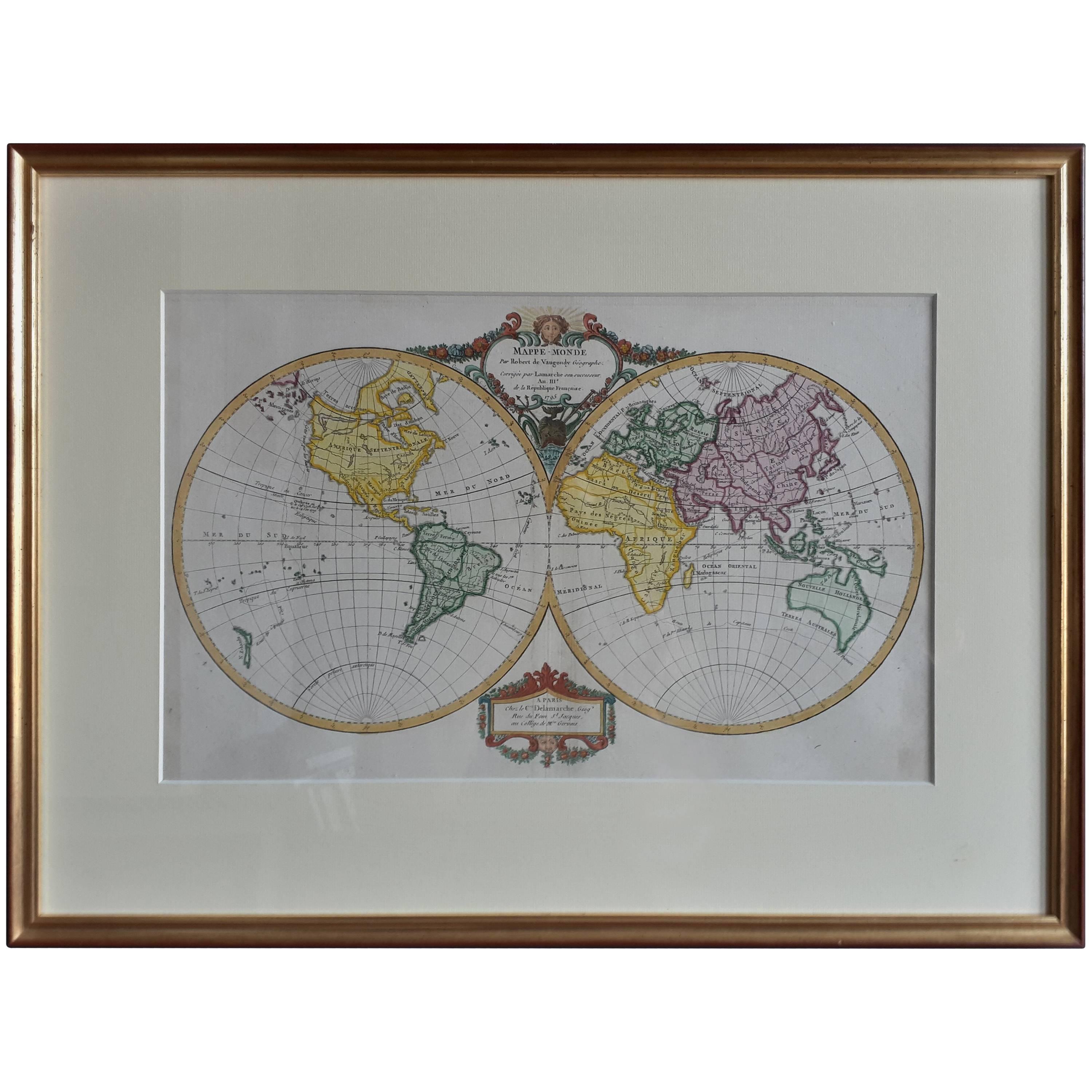
- Antique Map of the World by R. de Vaugondy, 1795Located in Langweer, NLAttractive world map by Vaugondy but corrected and issued by Lamarche in year 3 of the French Revolution. Decorative cartouches.Category
Antique Late 18th Century Maps
MaterialsPaper
 $966 Sale Price20% Off
 - Antique Map of North Carolina, with inset map of the western partLocated in Langweer, NLAntique map titled 'North Carolina'. Original antique map of North Carolina, United States. With inset map of the western part of North Carolina....Category
Antique Late 19th Century Maps
MaterialsPaper
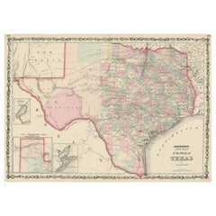
- Large Antique Map of the State of Texas, 1861Located in Langweer, NLAntique map titled 'Johnson's New Map of the State of Texas' Large map of Texas, shows railroads, wagon roads, the U.S. Mail Route, rivers, ports, ...Category
Antique Mid-19th Century Maps
MaterialsPaper
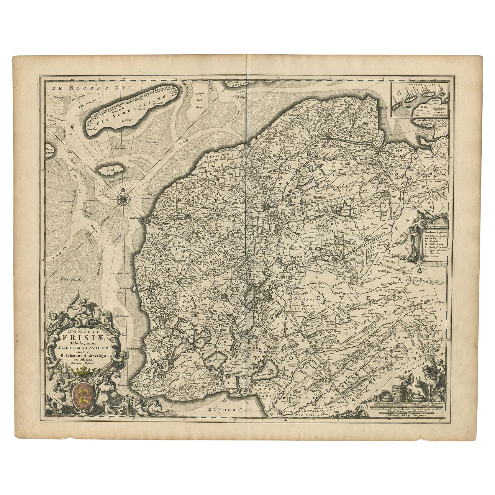
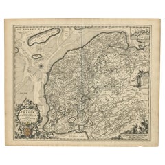
- Beautiful First State Map of Friesland, the Netherlands, c.1665Located in Langweer, NLAntique map titled 'Dominii Frisiae Tabula, inter Flevum et Lavicam'. Beautiful first state map of Friesland, the Netherlands. With small inset map of the Frisian Wadden islands Vlie...Category
Antique 17th Century Maps
MaterialsPaper
 $768 Sale Price20% Off
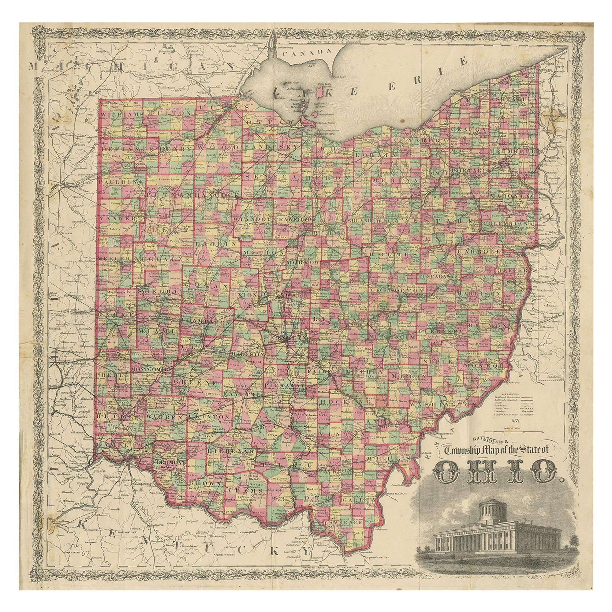
 - Antique Map of the State of Ohio by Titus '1871'Located in Langweer, NLAntique map titled 'Railroad & Township Map of the State of Ohio'. Original antique map of the State of Ohio. This map originates from 'Atlas of Preble County Ohio' by C.O. Titus. Pu...Category
Antique Late 19th Century Maps
MaterialsPaper
 $988 Sale Price25% Off