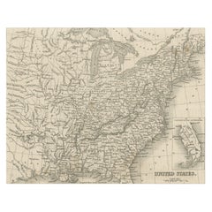
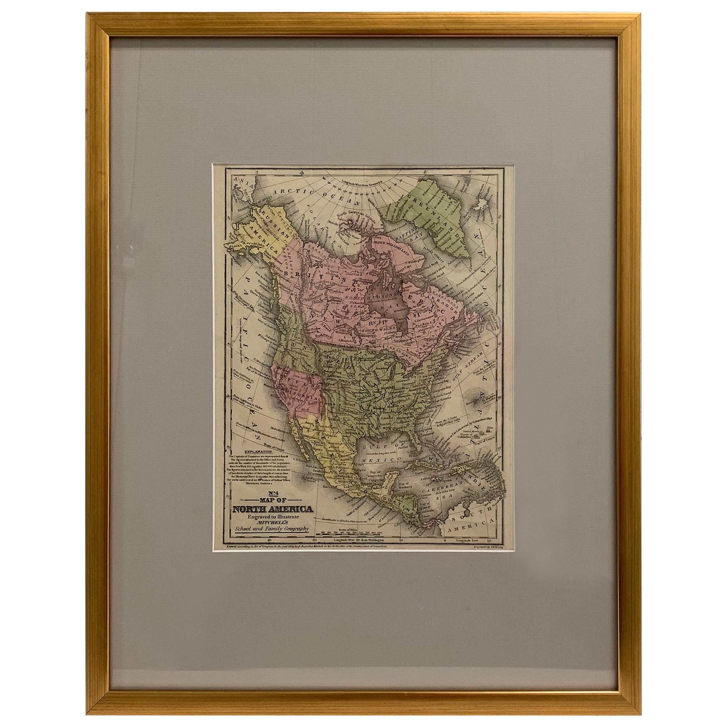
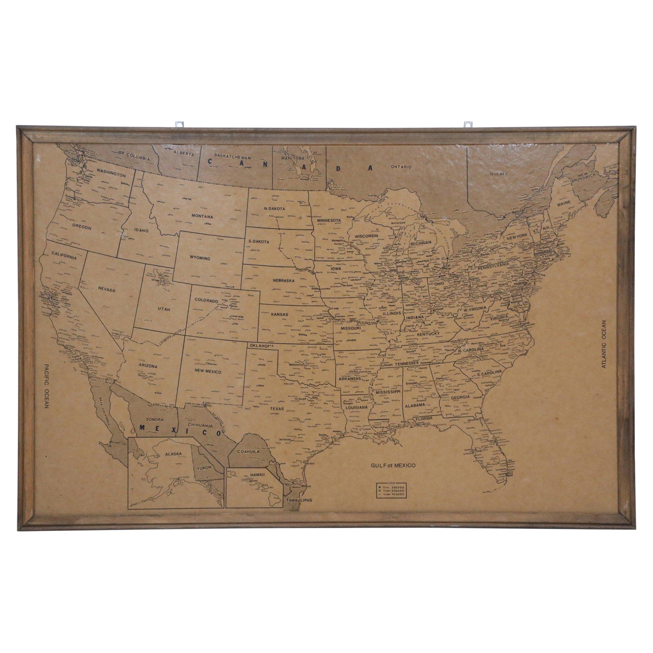
Map of the United States, Engraved and Printed in Scotland, circa 1930s
View Similar Items


1 of 10
Map of the United States, Engraved and Printed in Scotland, circa 1930s
About the Item
- Dimensions:Height: 52 in (132.08 cm)Width: 54 in (137.16 cm)Depth: 1 in (2.54 cm)
- Style:Art Deco (Of the Period)
- Materials and Techniques:
- Place of Origin:
- Period:
- Date of Manufacture:1930
- Condition:Wear consistent with age and use.
- Seller Location:Madison, WI
- Reference Number:1stDibs: LU92359139051
You May Also Like
- Steel Engraved Map of the United States with Inset Map of FloridaLocated in Langweer, NLAntique map titled 'United States'. Steel engraved map of the United States. With small inset map of the continuation of Florida. Source unknown, to be determined. Published circa 1843.Category
Antique Mid-19th Century Maps
MaterialsPaper
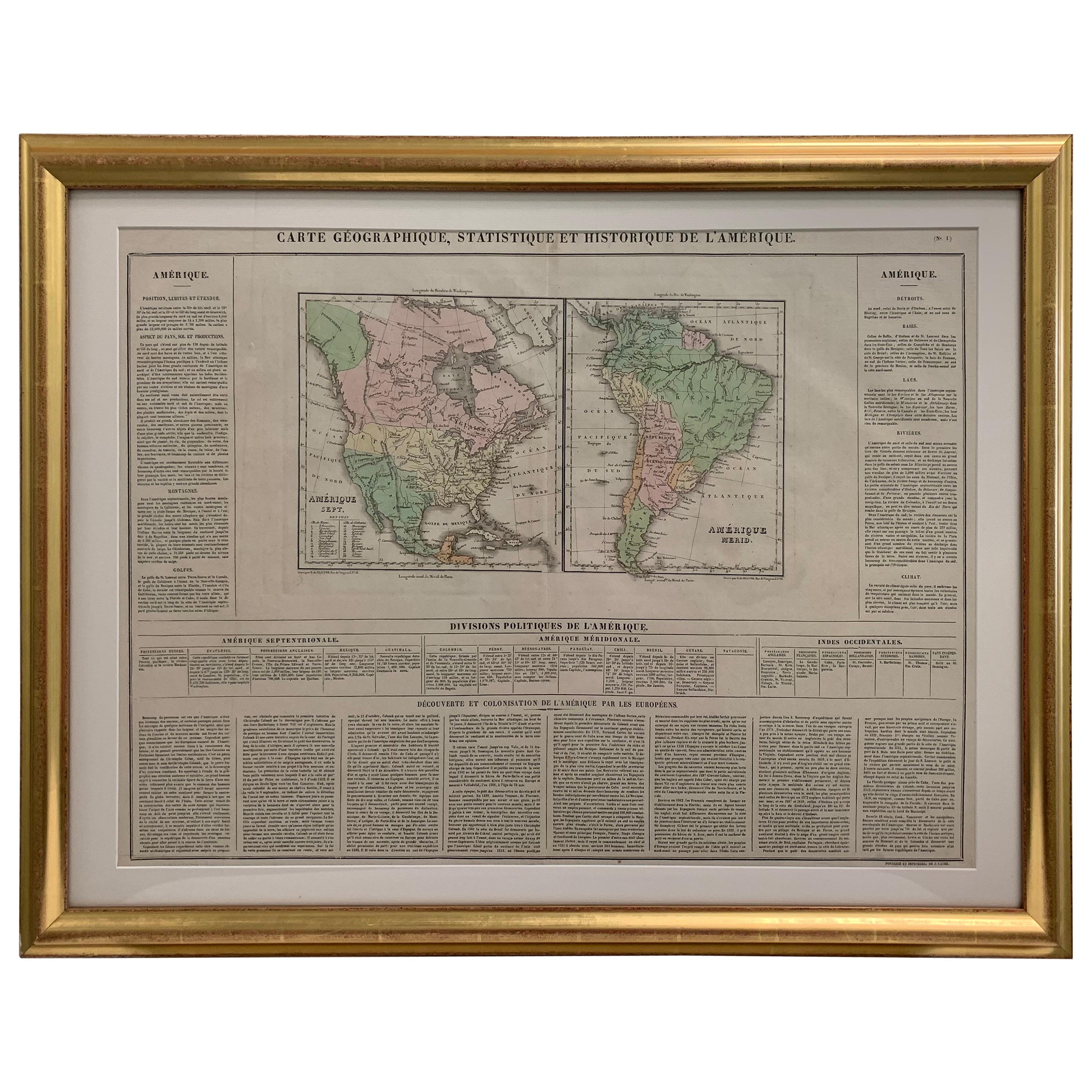
- Small Map of the United StatesLocated in Langweer, NLAntique map titled 'Amérique septe. Physique'. Small map of the United States. lithographed by C. Callewaert brothers in Brussels circa 1870.Category
Antique Mid-19th Century Maps
MaterialsPaper
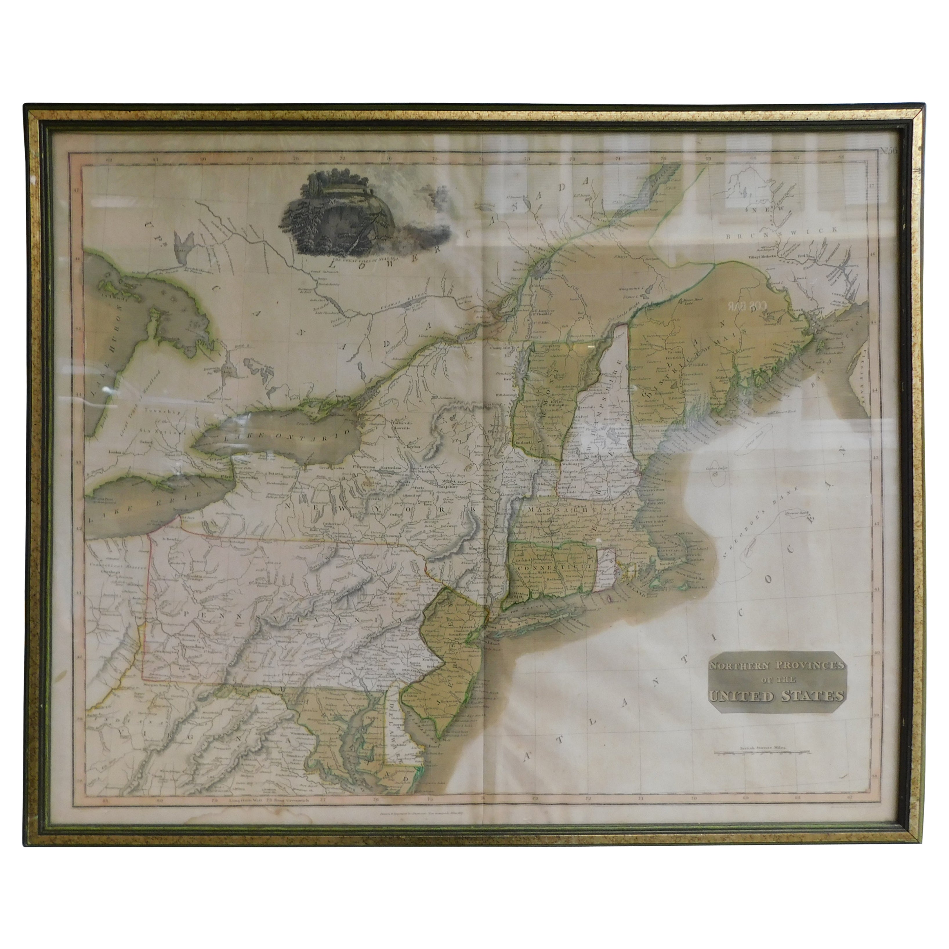
- English Engraved Hand Colored Map of the North Eastern United States, circa 1817Located in Hollywood, SCEnglish copper engraved hand colored map of the North Eastern United States matted under glass in a gilt frame, Early 19th Century. Drawn and Engraved for Thomson's New General Atlas...Category
Antique 1810s English George III Maps
MaterialsPaper, Paint, Giltwood, Glass
- Old Decorative Pictorial Map of the United States, circa 1953Located in Langweer, NLAntique map titled 'A Pictorial Map of the United States of America Showing Principal Regional Resources, Products, and Natural Features'. This information-packed map was create by the General Drafting Company for the New Jersey Bell Telephone Company. The main map features over 700 drawings in full color including points of interest, natural resources, and agricultural products. At bottom are inset maps showing railroad lines, air routes, telephone lines, as well as a pictorial map of New Jersey...Category
20th Century Maps
MaterialsPaper
 $618 Sale Price24% Off
 - Original Antique Map of The United States of America, circa 1890Located in St Annes, LancashireGreat map of the USA By The Stanford's Geographical Establishment Original colour Unframed.Category
Antique 1890s English Victorian Maps
MaterialsPaper
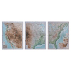
- Large Vintage Maps of the United States, in 3 Sections, 1920Located in St Annes, LancashireGreat maps of the USA in 3 sections Unframed Original color By John Bartholomew and Co. Edinburgh Geographical Institute Published, circa 1920 The measurements given is for just...Category
Vintage 1920s British Maps
MaterialsPaper