Original Antique Map of Europe by Becker, circa 1840
View Similar Items


Want more images or videos?
Request additional images or videos from the seller
1 of 5
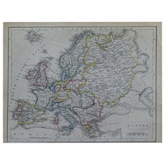
Original Antique Map of Europe by Becker, circa 1840
About the Item
- Dimensions:Height: 8.5 in (21.59 cm)Width: 10.75 in (27.31 cm)Depth: 0.07 in (1.78 mm)
- Style:Other (In the Style Of)
- Materials and Techniques:Paper,Other
- Place of Origin:
- Period:
- Date of Manufacture:1840
- Condition:Wear consistent with age and use.
- Seller Location:St Annes, GB
- Reference Number:1stDibs: LU1836322436712
About the Seller
4.9
Platinum Seller
These expertly vetted sellers are 1stDibs' most experienced sellers and are rated highest by our customers.
1stDibs seller since 2016
2,581 sales on 1stDibs
Associations
International Confederation of Art and Antique Dealers' Associations
More From This SellerView All
- Original Antique Map of South East Asia by Becker, circa 1840Located in St Annes, LancashireGreat map of South East Asia Steel engraving with original color outline Engraved by Becker Published by Virtue, circa 1840. Unframed.Category
Antique 1840s English Other Maps
MaterialsPaper
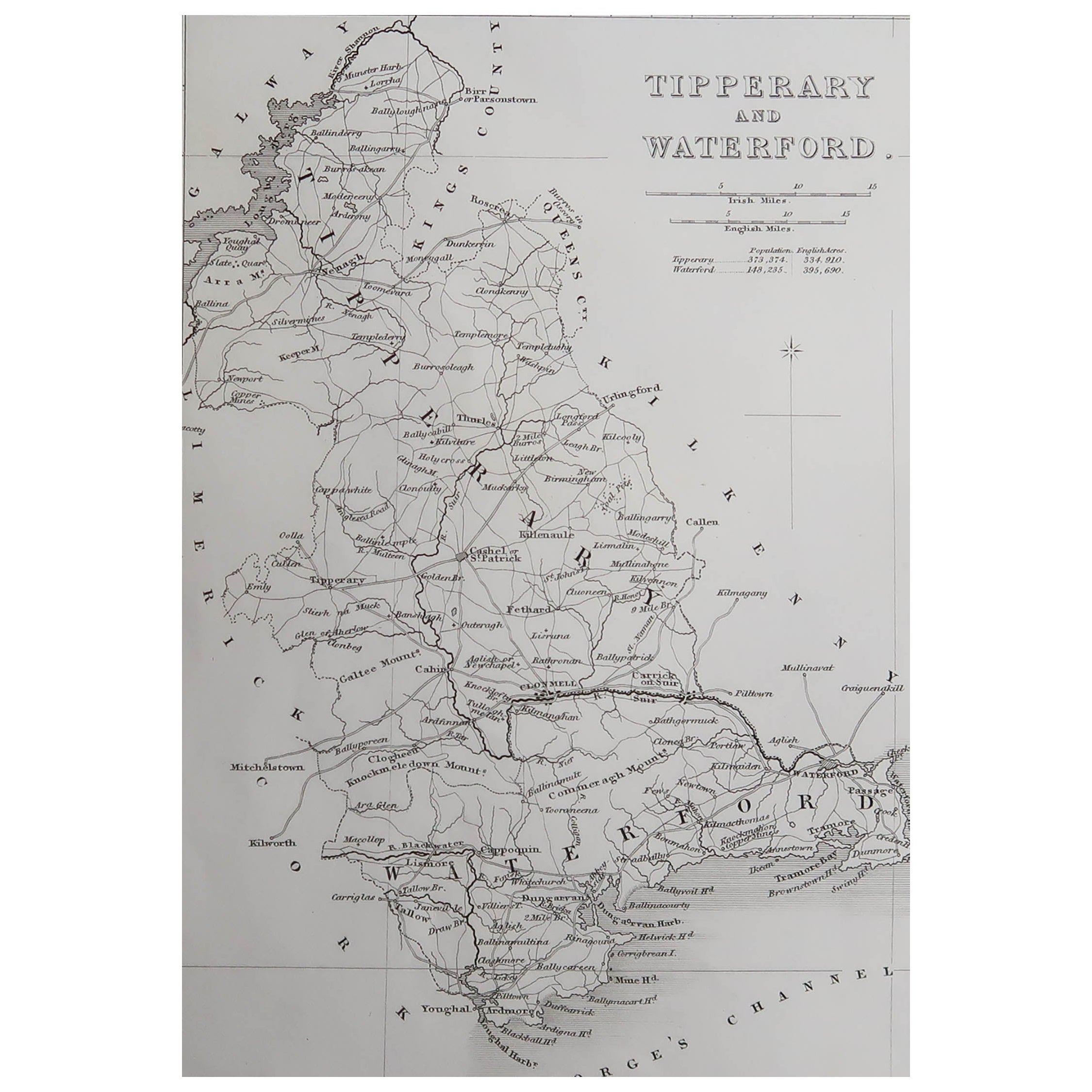
- Original Antique Map of Ireland- Kerry. C.1840Located in St Annes, LancashireGreat map of Kerry Steel engraving Drawn under the direction of A.Adlard Published by How and Parsons, C.1840 Unframed.Category
Antique 1840s English Maps
MaterialsPaper

- Original Antique Map of Europe, Arrowsmith, 1820Located in St Annes, LancashireGreat map of Europe Drawn under the direction of Arrowsmith. Copper-plate engraving. Published by Longman, Hurst, Rees, Orme and Brown, 1820 ...Category
Antique 1820s English Maps
MaterialsPaper

- Original Antique Map of Ireland- Tipperary and Waterford. C.1840Located in St Annes, LancashireGreat map of Tipperary and Waterford Steel engraving Drawn under the direction of A.Adlard Published by How and Parsons, C.1840 Unframed.Category
Antique 1840s English Maps
MaterialsPaper
- Original Antique Map of South America, circa 1830Located in St Annes, LancashireGreat map of South America Copper plate engraving Published by Butterworth, Livesey & Co., circa 1830 Unframed.Category
Antique Early 1800s English Other Maps
MaterialsPaper

- Original Antique Map of Spain and Portugal, circa 1790Located in St Annes, LancashireSuper map of Spain and Portugal Copper plate engraving by A. Bell Published, circa 1790. Unframed.Category
Antique 1790s English Other Maps
MaterialsPaper


You May Also Like
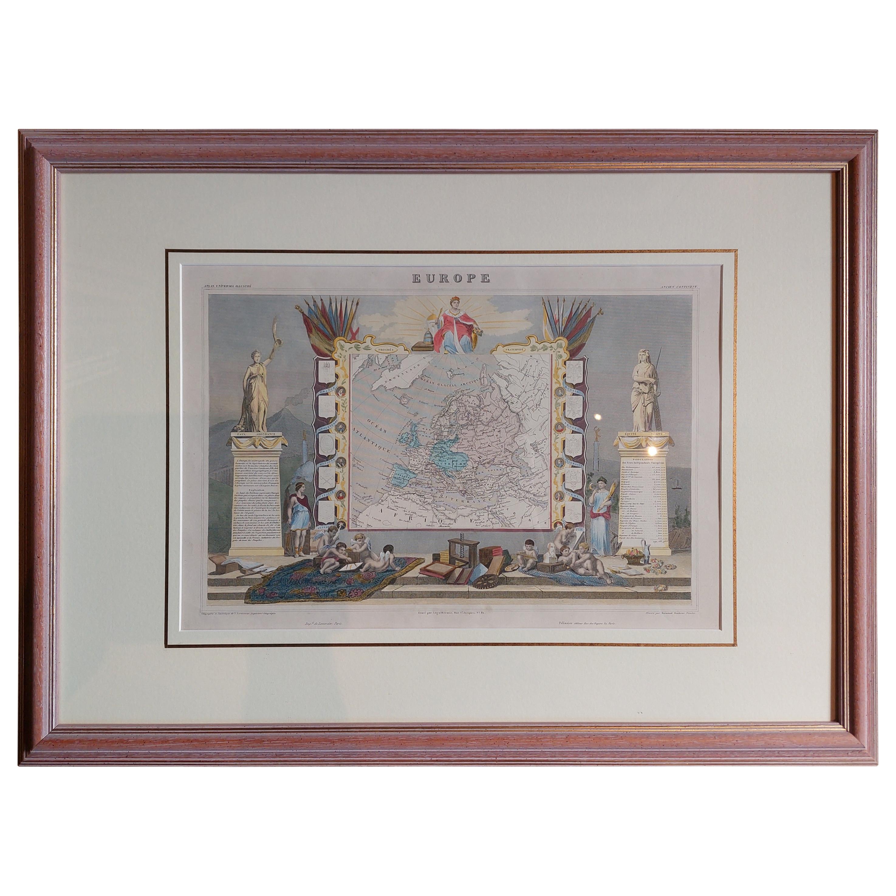
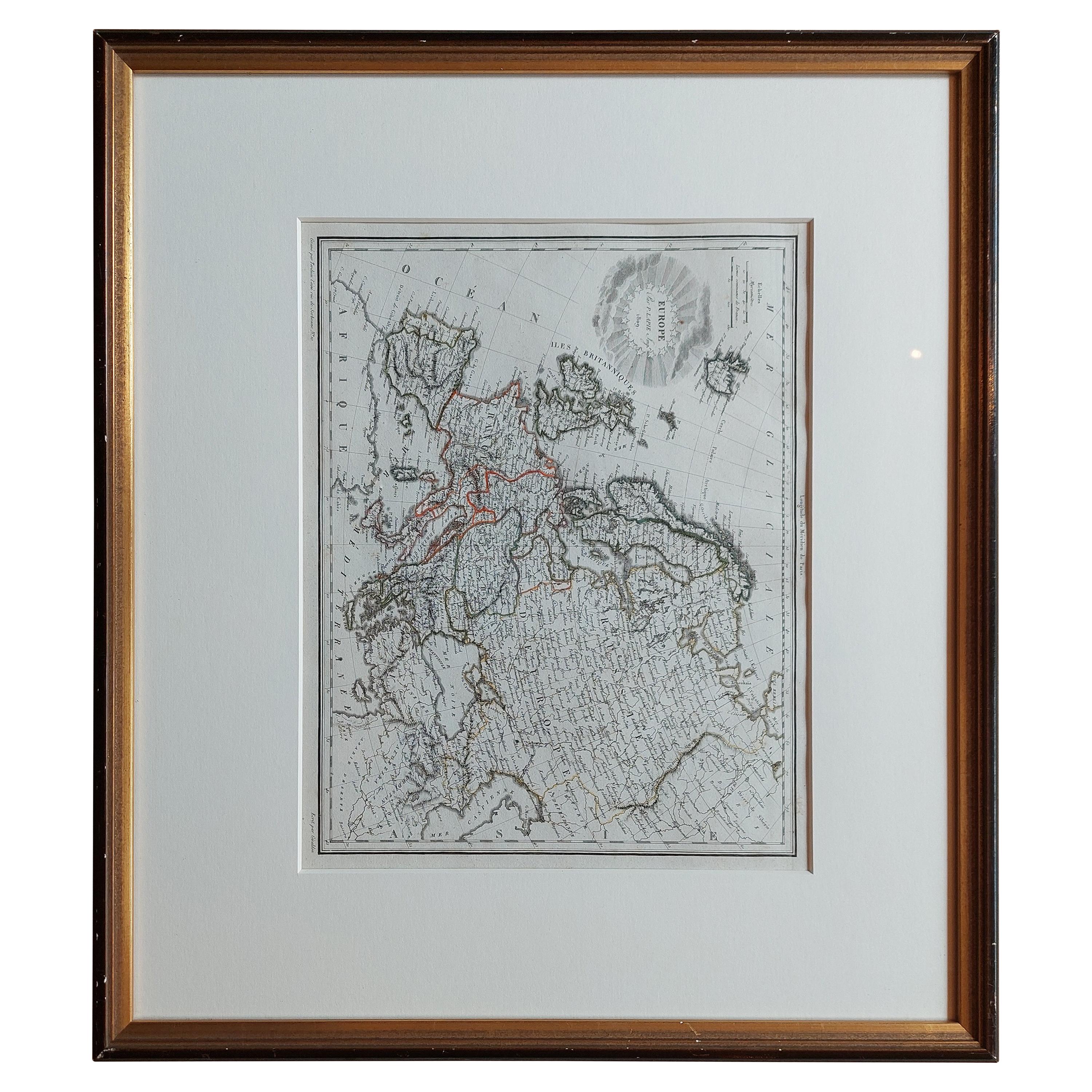
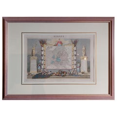
- Antique Map of Europe by Levasseur 'c.1840'Located in Langweer, NLAntique map titled 'Europe'. Original antique map of Europe. Decorative map of the continent surrounded by allegorical vignettes. Engraved by Raimond Bonheur, father of the famous Fr...Category
Antique Mid-19th Century Maps
MaterialsPaper
- Antique Map of Europe by Hederichs, circa 1740Located in Langweer, NLAntique map titled 'Europa Christiani Orbis Domina'. Rare miniature map of Europe. This map originates from 'Anleitung Zu den fürnehmsten Historischen Wissenschaften, Benanntlich Der...Category
Antique Mid-18th Century Maps
MaterialsPaper
 $219 Sale Price20% Off
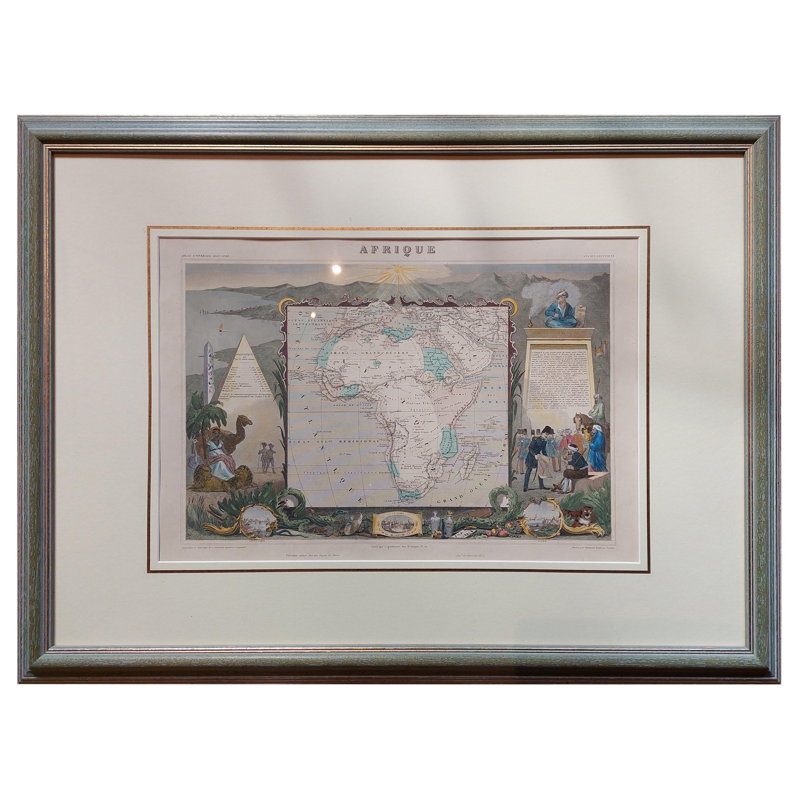
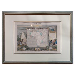
 - Antique Map of Africa by Levasseur 'c.1840'Located in Langweer, NLAntique map titled 'Afrique'. Original antique map of Africa. Decorative map of the continent surrounded by allegorical vignettes. Engraved by Raimond Bonheur, father of the famous F...Category
Antique Mid-19th Century Maps
MaterialsPaper
 $439 Sale Price20% Off
 - Antique Map of Western Europe by H. Kiepert, circa 1870By Heinrich KiepertLocated in Langweer, NLAntique map titled 'Gallia, Britannia, Germania'. This map depicts a large part of Western Europe including countries like Germany, France, Great Britain, The Netherlands and more. T...Category
Antique Late 19th Century Maps
MaterialsPaper
 $140 Sale Price20% Off
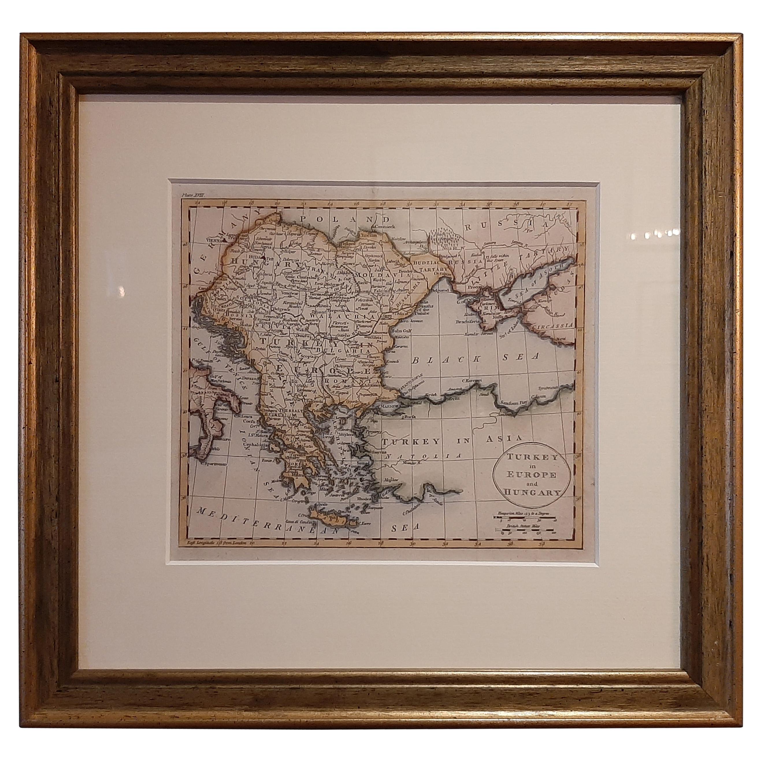
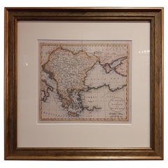
 - Antique Map of Turkey in Europe by Russell, circa 1795Located in Langweer, NLAntique map titled 'Turkey in Europe and Hungary'. Original map of Turkey in Europe. Covers present day Northern Turkey, Greece, Albania, Romania, Hungary, Croatia, Bosnia Herzogovin...Category
Antique Late 18th Century Maps
MaterialsPaper
 $307 Sale Price20% Off
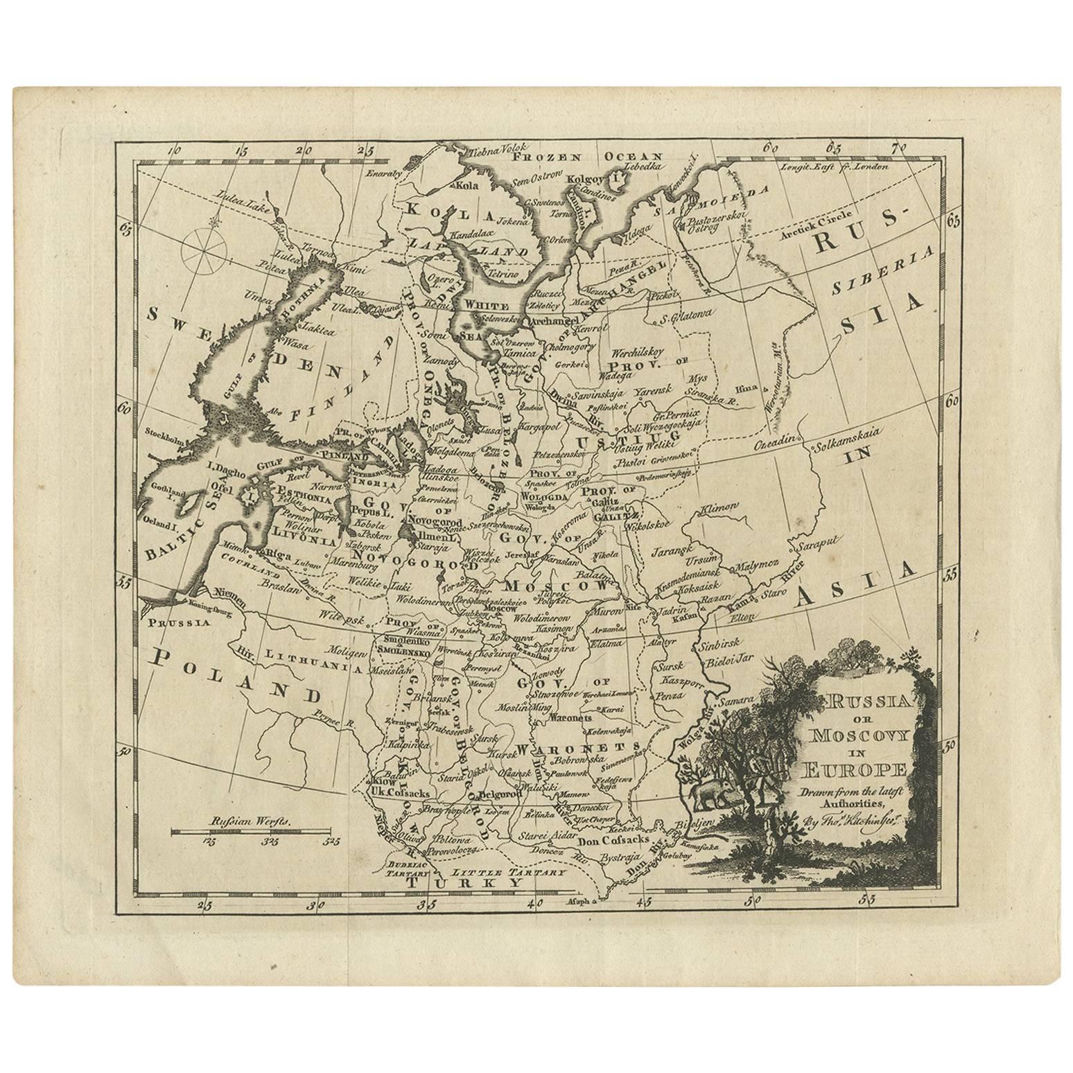
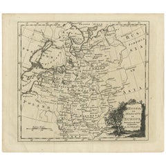
 - Antique Map of Russia in Europe by T. Kitchin, circa 1770Located in Langweer, NLAntique map titled 'Russia or Moscovy in Europe, drawn from the latest authorities (..)'. An interesting and attractive early 19th century map of Russia in Europe which was engraved ...Category
Antique Late 18th Century Maps
MaterialsPaper
 $131 Sale Price25% Off
Recently Viewed
View AllMore Ways To Browse
Leicestershire Antique Map
Alabama Antique Map
Antique Alabama Map
Berkshire Antique Map
Ontario Map
Warwickshire Antique Map
Antique Map Of Alabama
Heinrich Kiepert On Sale
Hertfordshire Antique Map
Poired Metal
Ruscelli Map
Antique Map Kentucky
Antique Map Tennessee
Antique Maps Of Tennessee
Huntingdonshire Antique Map
Mappemonde Antique
Tennessee Map
Antique Bermuda Maps