Items Similar to Original Antique Map of Friesland by Guicciardini, 1612


Want more images or videos?
Request additional images or videos from the seller
1 of 5
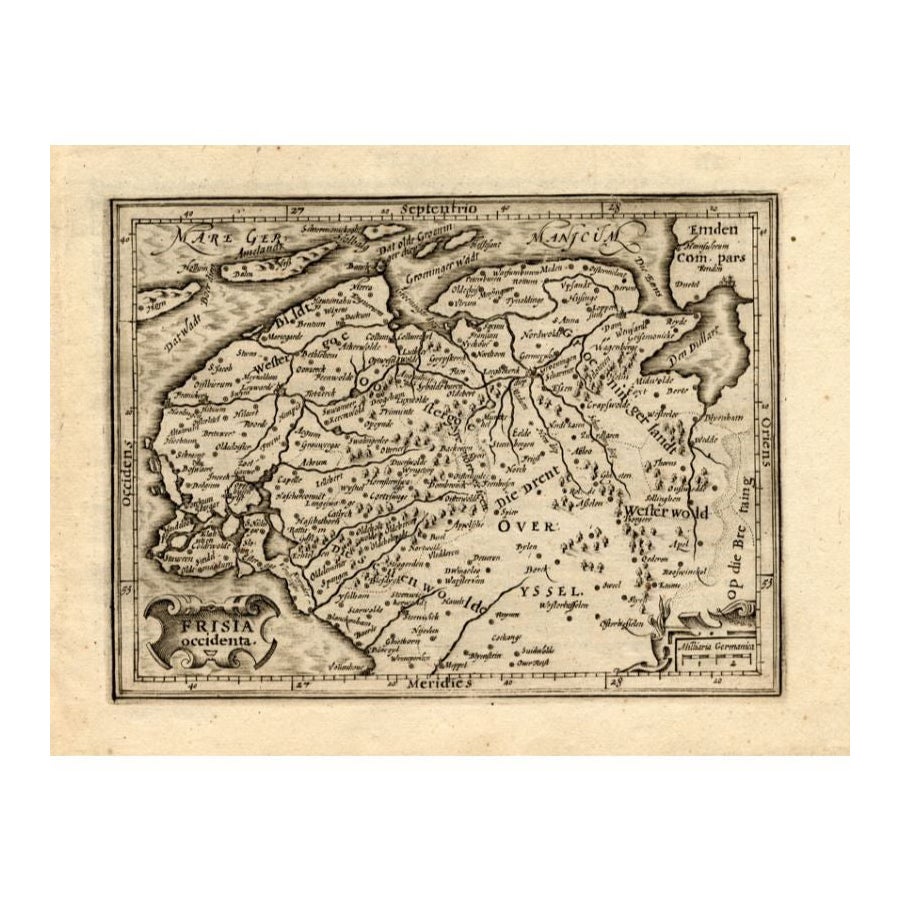
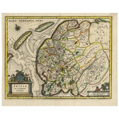
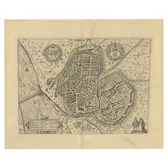
Original Antique Map of Friesland by Guicciardini, 1612
About the Item
Antique map titled 'Frisiae Occidentalis Typus'. Original antique map of the province of Friesland, the Netherlands. This map originates from 'Beschryvinghe van alle de Neder-Landen' by L. Guicciardini. Published 1612. Artists and Engravers: Lodovico Guicciardini (19 August 1521 ? 22 March 1589) was an Italian writer and merchant from Florence who lived primarily in Antwerp. He was the nephew of historian and diplomat Francesco Guicciardini.
Artist: Lodovico Guicciardini (19 August 1521 ? 22 March 1589) was an Italian writer and merchant from Florence who lived primarily in Antwerp. He was the nephew of historian and diplomat Francesco Guicciardini.
Condition: Very good, original folding line. General age-related toning, minor wear. Blank verso. Please study image carefully.
Date: 1612
Overall size: 36 x 30.5 cm.
Image size: 31 x 23 cm.
We sell original antique maps to collectors, historians, educators and interior decorators all over the world. Our collection includes a wide range of authentic antique maps from the 16th to the 20th centuries. Buying and collecting antique maps is a tradition that goes back hundreds of years. Antique maps have proved a richly rewarding investment over the past decade, thanks to a growing appreciation of their unique historical appeal. Today the decorative qualities of antique maps are widely recognized by interior designers who appreciate their beauty and design flexibility. Depending on the individual map, presentation, and context, a rare or antique map can be modern, traditional, abstract, figurative, serious or whimsical. We offer a wide range of authentic antique maps for any budget.
- Dimensions:Height: 12.01 in (30.5 cm)Width: 14.18 in (36 cm)Depth: 0 in (0.01 mm)
- Materials and Techniques:
- Period:
- Date of Manufacture:1612
- Condition:
- Seller Location:Langweer, NL
- Reference Number:
About the Seller
5.0
Platinum Seller
These expertly vetted sellers are 1stDibs' most experienced sellers and are rated highest by our customers.
Established in 2009
1stDibs seller since 2017
1,919 sales on 1stDibs
Typical response time: <1 hour
- ShippingRetrieving quote...Ships From: Langweer, Netherlands
- Return PolicyA return for this item may be initiated within 14 days of delivery.
More From This SellerView All
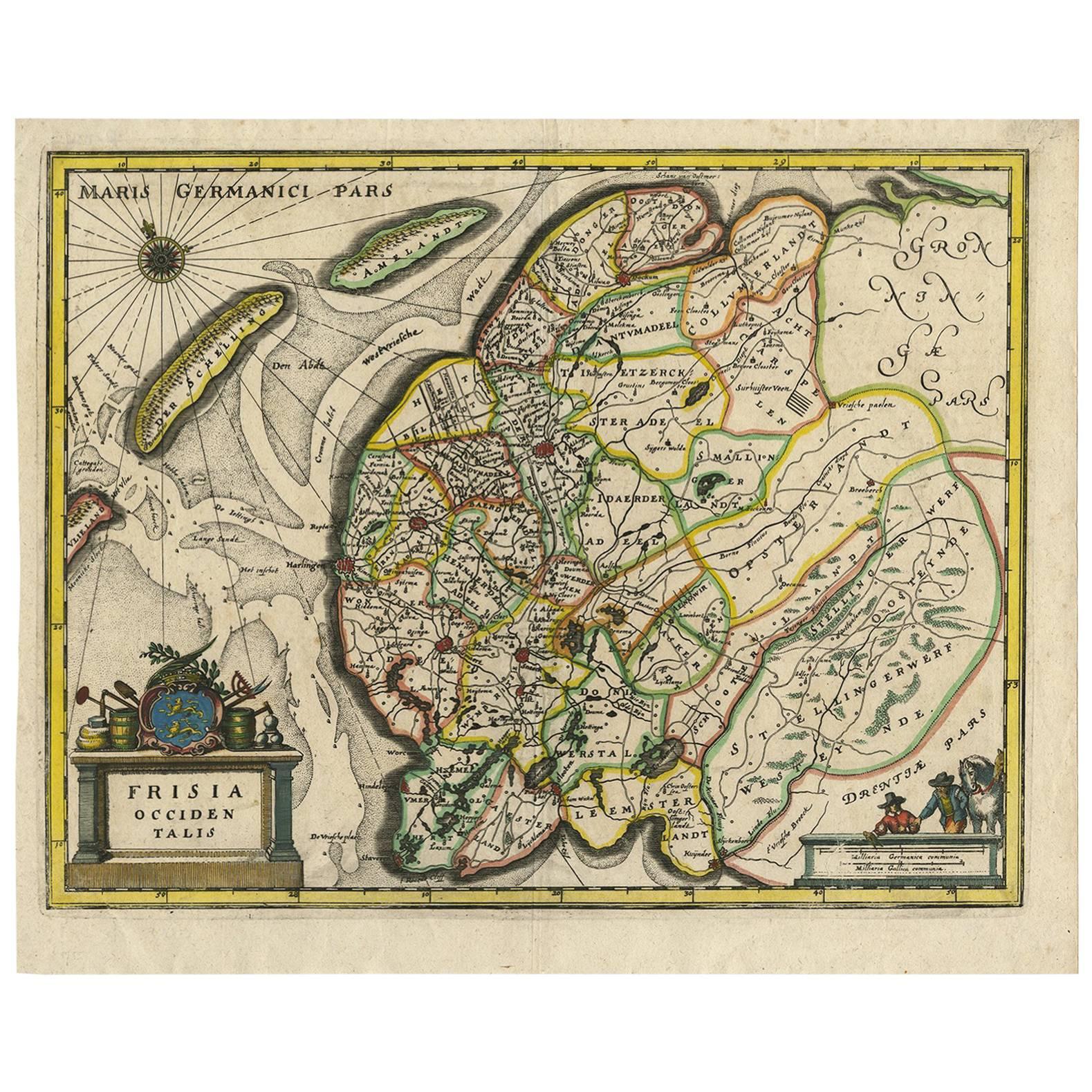
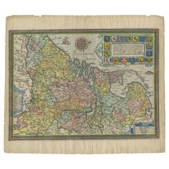
- Antique Map of Friesland by Guicciardini, 1613Located in Langweer, NLAntique map titled 'Frisia Occidenta.' (Map of the province of Friesland, the Netherlands.) This original old antique print / plate originates from the scarse French edition of 'Desc...Category
Antique 17th Century Maps
MaterialsPaper
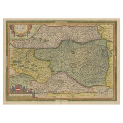
- Antique Map of Austria by Ortelius, c.1612Located in Langweer, NLAntique map titled 'Austriae Descrip. per Wolfgangum Lazium' Original antique map of Austria. Published by A. Ortelius, circa 1612. Artists a...Category
Antique 17th Century Maps
MaterialsPaper
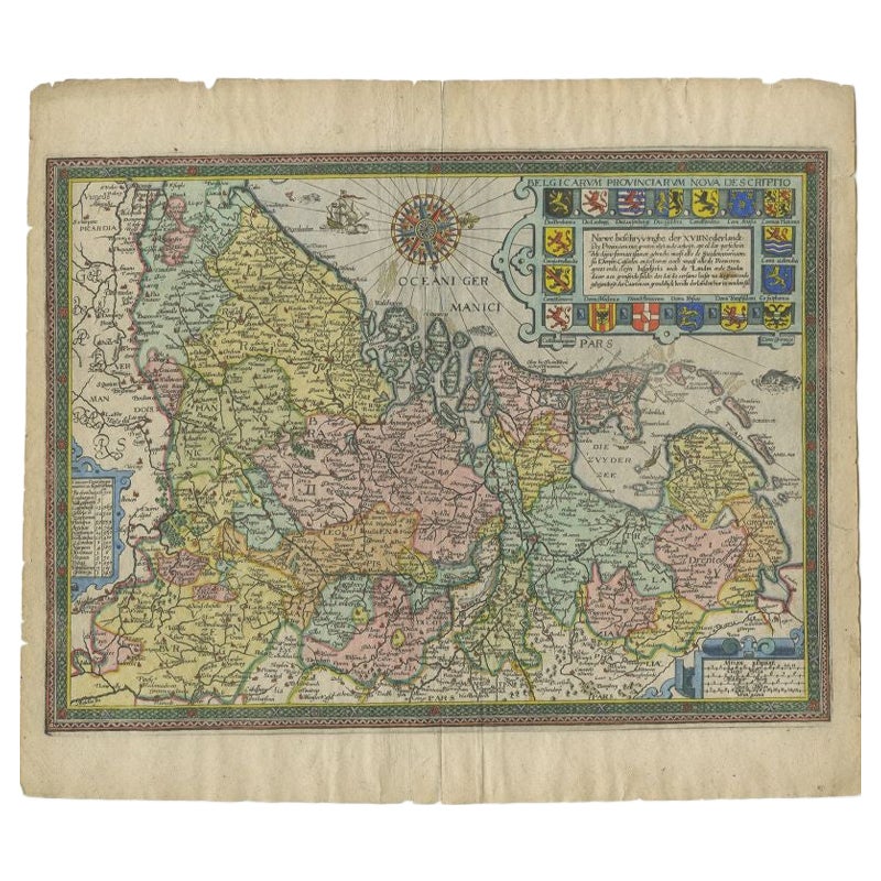
- Antique Map of the Netherlands by Guicciardini, 1612Located in Langweer, NLAntique map titled 'Belgicarum Provinciarum Nova Descriptio'. Beautiful old map of the Netherlands. With decorative cartouche including the coat...Category
Antique 17th Century Maps
MaterialsPaper
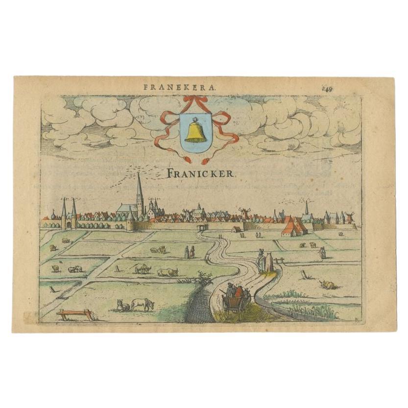
- Antique Print of Franeker, Friesland, the Netherlands by Guicciardini, 1616Located in Langweer, NLAntique print titled 'Franicker'. View of the city of Franeker, Friesland, the Netherlands. This print originates from 'Omnium Belgii sive Inferioris Germaniae (..)' by L. Guicciardi...Category
Antique 17th Century Prints
MaterialsPaper
- Original Antique Hand-Colored Map of Friesland by C. Merian, 1659Located in Langweer, NLThis is a hand-colored engraving of the province of Friesland in the Netherlands, created by the Swiss-born engraver and artist Matthäus Merian (1593–1650) and included in "Topograph...Category
Antique Mid-17th Century Maps
MaterialsPaper
- Antique Map of the City of Zutphen by Guicciardini, 1612Located in Langweer, NLAntique map Zutphen titled 'Zutphen'. This map depicts the city of Zutphen, Gelderland, The Netherlands. Originates from 'Beschryvinghe van alle de Neder-landen anderssins ghenoemt N...Category
Antique 17th Century Maps
MaterialsPaper

You May Also Like
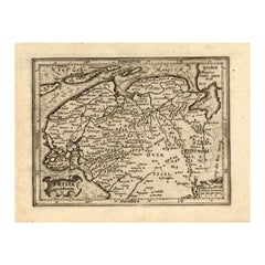
- Original Antique Map of Russia By Arrowsmith. 1820Located in St Annes, LancashireGreat map of Russia Drawn under the direction of Arrowsmith Copper-plate engraving Published by Longman, Hurst, Rees, Orme and Brown, 1820 Unframed.Category
Antique 1820s English Maps
MaterialsPaper
- Original Antique Map of Italy. C.1780Located in St Annes, LancashireGreat map of Italy Copper-plate engraving Published C.1780 Unframed.Category
Antique Early 1800s English Georgian Maps
MaterialsPaper

- Original Antique Map of Asia. C.1780Located in St Annes, LancashireGreat map of Asia Copper-plate engraving Published C.1780 Two small worm holes to right side of map Unframed.Category
Antique Early 1800s English Georgian Maps
MaterialsPaper

- Original Antique Map of India. C.1780Located in St Annes, LancashireGreat map of India Copper-plate engraving Published C.1780 Three small worm holes to right side of map and one bottom left corner Unframed.Category
Antique Early 1800s English Georgian Maps
MaterialsPaper

- Original Antique Map of Belgium by Tallis, Circa 1850Located in St Annes, LancashireGreat map of Belgium Steel engraving Many lovely vignettes Published by London Printing & Publishing Co. ( Formerly Tallis ), C.1850 Origin...Category
Antique 1850s English Maps
MaterialsPaper
- Original Antique Map of China by Thomas Clerk, 1817Located in St Annes, LancashireGreat map of China Copper-plate engraving Drawn and engraved by Thomas Clerk, Edinburgh. Published by Mackenzie And Dent, 1817 Unframed.Category
Antique 1810s English Maps
MaterialsPaper


Recently Viewed
View AllMore Ways To Browse
Antique Florence
Antique Italian Map
Antique Italy Map
Italy Antique Map
Italy Map Antique
Antique Maps Italy
Antique Map Italy
Antique Italian Maps
Antique Italy Maps
Antique Map Of Italy
Map Of Italy Antique
Antique Maps Of Italy
17th Century World Map
Antique 17th Century World Map
Antique Province Map Of Antique
Map Of Antique Province
Antique Province Map
17th Century Italian Map