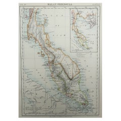
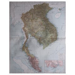
Original Antique Map of Malay Peninsula / Singapore, 1889
View Similar Items


Want more images or videos?
Request additional images or videos from the seller
1 of 5
Auction endedBrowse Current Auctions
Original Antique Map of Malay Peninsula / Singapore, 1889
About the Item
- Dimensions:Height: 11 in (27.94 cm)Width: 8 in (20.32 cm)Depth: 0.07 in (1.78 mm)
- Style:Victorian (Of the Period)
- Materials and Techniques:Paper,Other
- Place of Origin:
- Period:
- Date of Manufacture:1889
- Condition:Wear consistent with age and use.
- Seller Location:St Annes, GB
- Reference Number:1stDibs: LU1836324966512
About the Seller
4.9
Platinum Seller
These expertly vetted sellers are 1stDibs' most experienced sellers and are rated highest by our customers.
1stDibs seller since 2016
2,546 sales on 1stDibs
Associations
International Confederation of Art and Antique Dealers' Associations
More From This SellerView All
- Original Antique Map of Missouri, 1889Located in St Annes, LancashireGreat map of Missouri Drawn and Engraved by W. & A.K. Johnston Published By A & C Black, Edinburgh. Original colour Unframed.Category
Antique 1880s Scottish Victorian Maps
MaterialsPaper

- Original Antique Map of the American State of Nevada, 1889Located in St Annes, LancashireGreat map of Nevada Drawn and Engraved by W. & A.K. Johnston Published By A & C Black, Edinburgh. Original colour Unframed.Category
Antique 1880s Scottish Victorian Maps
MaterialsPaper
- Original Antique Map of the American State of Oregon, 1889Located in St Annes, LancashireGreat map of Oregon Drawn and Engraved by W. & A.K. Johnston Published By A & C Black, Edinburgh. Original colour Unframed.Category
Antique 1880s Scottish Victorian Maps
MaterialsPaper
- Original Antique Map of the American State of Washington, 1889Located in St Annes, LancashireGreat map of Washington Drawn and Engraved by W. & A.K. Johnston Published By A & C Black, Edinburgh. Original colour Unframed.Category
Antique 1880s Scottish Victorian Maps
MaterialsPaper
- Original Antique Map of New Brunswick and Nova Scotia, 1889Located in St Annes, LancashireGreat map of New Brunswick and Nova Scotia Drawn and Engraved by W. & A.K. Johnston Published By A & C Black, Edinburgh. Original colour Unfr...Category
Antique 1880s Scottish Victorian Maps
MaterialsPaper
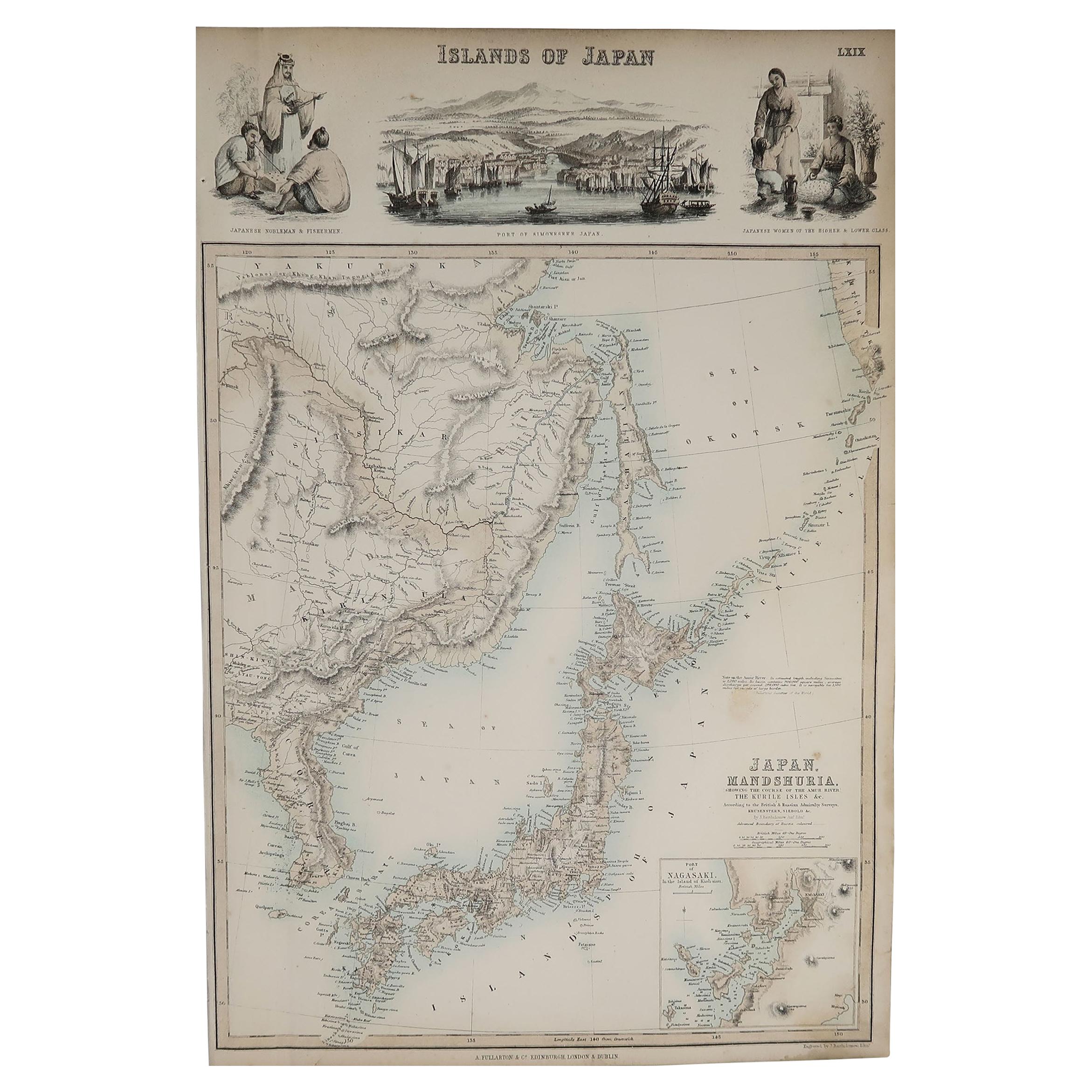
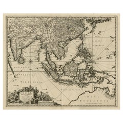
- Large Original Vintage Map of S.E Asia, with a Vignette of SingaporeLocated in St Annes, LancashireGreat map of South East Asia Original color. Good condition Published by Alexander Gross Unframed.Category
Vintage 1920s English Maps
MaterialsPaper


You May Also Like
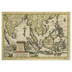
- Striking Antique Map Centered on the Malay PeninsulaBy Pieter Van Der AaLocated in Langweer, NLAntique map titled 'D'Indiaanze Landschappen Zeen en Eylanden, van Couchin af tot in de Moluccos (...)'. Striking map of the region from the Philippines and Formosa to India and the ...Category
Antique Early 18th Century Maps
MaterialsPaper
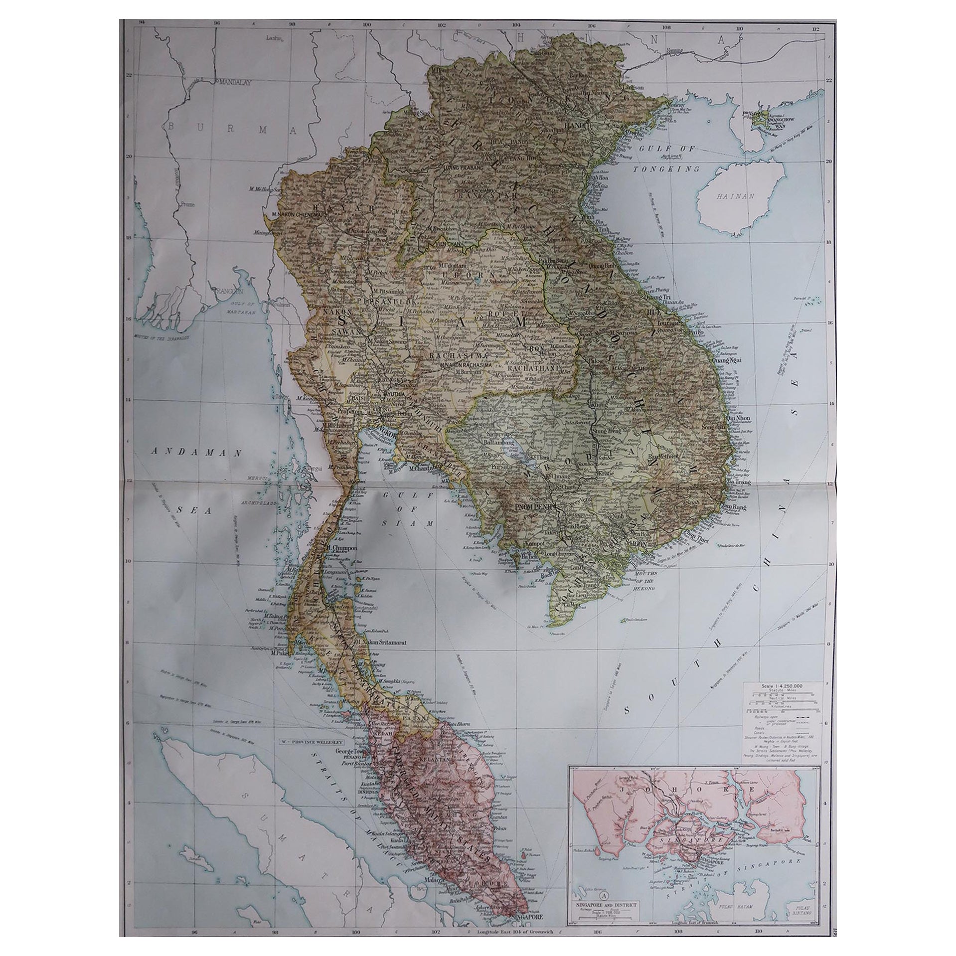
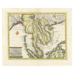
- Antique Map of the Strait of Malacca, Malay Peninsula & Dutch Indies, c.1670Located in Langweer, NLAntique map titled 'Indiae Orientalis, nec non Insularum Adiacentium Nova Descriptio.' Map of Southeast Asia. The map centers on the Strait of Malacca and Malay Peninsula. It ext...Category
Antique 1670s Maps
MaterialsPaper
 $2,056 Sale Price20% Off
 - Antique Map of the Sunda Islands Sumatra, Java, Malay Peninsula & Borneo (1739)By Isaak TirionLocated in Langweer, NLAntique map titled 'Nieuwe kaart van de Sundasche Eilanden als Borneo, Sumatra en Groot Iava & c'. Detailed map of the Sunda Islands, Southeast Asia, extending from the tip of Cambod...Category
Antique Mid-18th Century Maps
MaterialsPaper
 $639 Sale Price21% Off
 - Antique Map of the Region Centered on the Malay Peninsula by Tirion 'c.1760'Located in Langweer, NLAntique map titled 'Nuova Carta dell' India (..)'. Decorative map of the region centered on the Malay Peninsula and extending from the Straits of Singapore, Malacca and Borneo in the South to China in the east and the Bay of Bengal...Category
Antique Mid-18th Century Maps
MaterialsPaper
 $853 Sale Price20% Off
 - Original Engraved Antique Map of the World, Colorful and Decorative, C.1780By Pierre François TardieuLocated in Langweer, NLAntique map titled 'Mappemonde en Deux Hemispheres ou l'on a Indique les Nouvelles Decouvertes' - This handsome double hemisphere map presents a ...Category
Antique 18th Century Maps
MaterialsPaper
- Antique Map of the Sinai Peninsula, '1895'Located in Langweer, NLAntique map titled 'Peninsula of Sinaï'. Lithographed map of the Sinai Peninsula, a peninsula in Egypt, and the only part of the country located in Asia. It is situated between the M...Category
Antique Late 19th Century Maps
MaterialsPaper
 $87 Sale Price20% Off