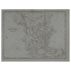
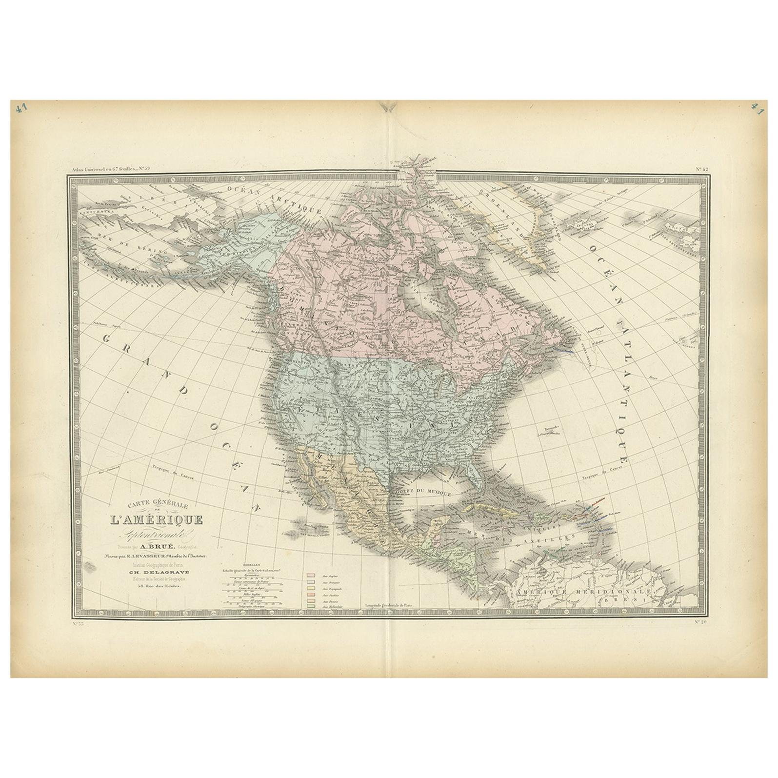
Original Antique Map of North America, circa 1800
View Similar Items


Want more images or videos?
Request additional images or videos from the seller
1 of 5
Original Antique Map of North America, circa 1800
About the Item
- Dimensions:Height: 9.5 in (24.13 cm)Width: 12 in (30.48 cm)Depth: 0.07 in (1.78 mm)
- Style:Other (In the Style Of)
- Materials and Techniques:Paper,Other
- Place of Origin:
- Period:
- Date of Manufacture:1800
- Condition:Wear consistent with age and use.
- Seller Location:St Annes, GB
- Reference Number:Seller: 44711stDibs: LU1836319203752
About the Seller
4.9
Platinum Seller
These expertly vetted sellers are 1stDibs' most experienced sellers and are rated highest by our customers.
1stDibs seller since 2016
2,539 sales on 1stDibs
Associations
International Confederation of Art and Antique Dealers' Associations
More From This SellerView All
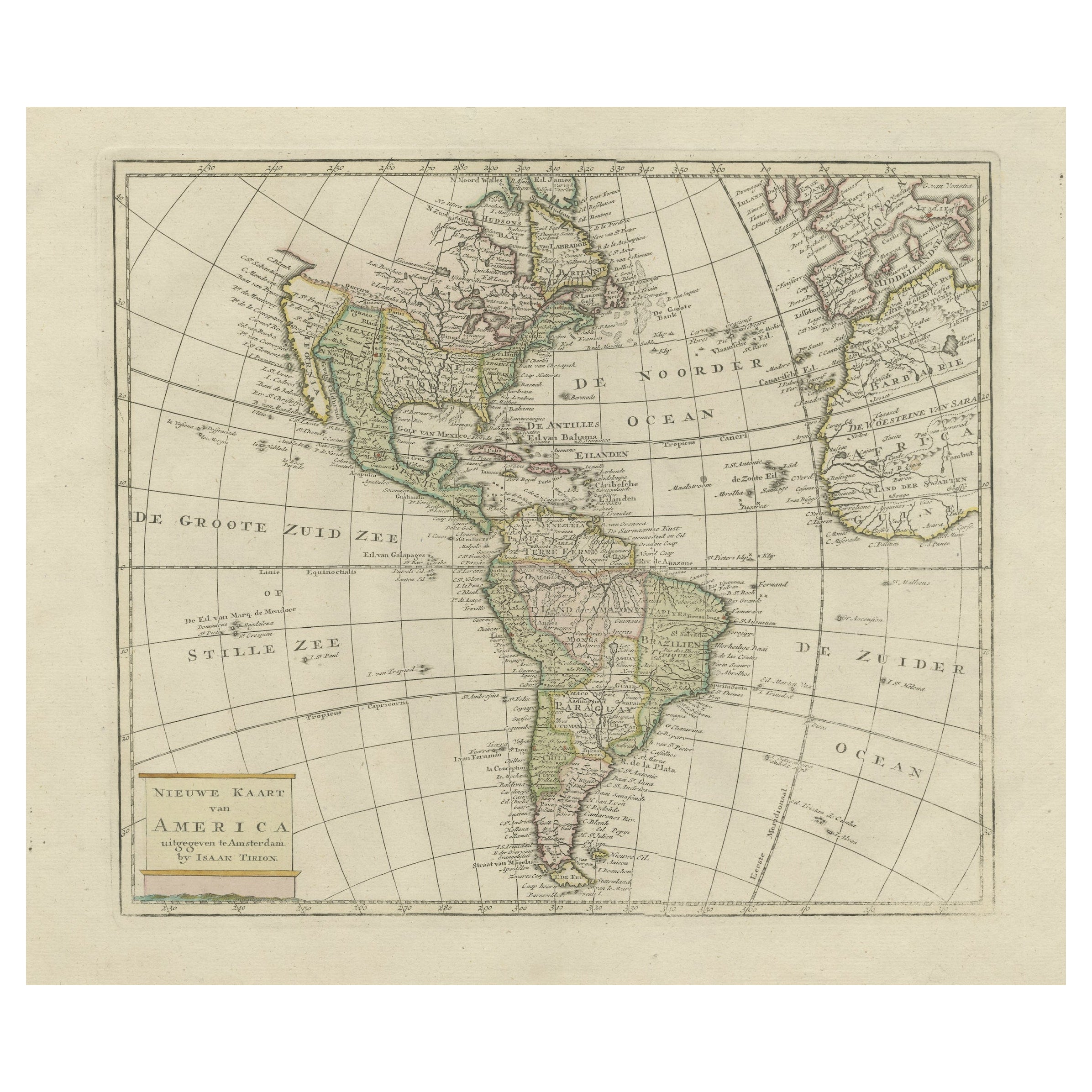
- Original Antique Map of South America, circa 1830Located in St Annes, LancashireGreat map of South America Copper plate engraving Published by Butterworth, Livesey & Co., circa 1830 Unframed.Category
Antique Early 1800s English Other Maps
MaterialsPaper

- Original Antique English County Map, North Yorkshire, J & C Walker, 1851Located in St Annes, LancashireGreat map of North Yorkshire Original colour By J & C Walker Published by Longman, Rees, Orme, Brown & Co. 1851 Unframed.Category
Antique 1850s English Other Maps
MaterialsPaper
- Original Antique Map of South America. C.1780Located in St Annes, LancashireGreat map of South America Copper-plate engraving Published C.1780 Two small worm holes to left side of map Unframed.Category
Antique Early 1800s English Georgian Maps
MaterialsPaper

- Original Antique Map of Spain and Portugal, circa 1790Located in St Annes, LancashireSuper map of Spain and Portugal Copper plate engraving by A. Bell Published, circa 1790. Unframed.Category
Antique 1790s English Other Maps
MaterialsPaper
- Original Antique Map of Central America / Florida, Arrowsmith, 1820Located in St Annes, LancashireGreat map of Central America. Drawn under the direction of Arrowsmith. Copper-plate engraving. Published by Longman, Hurst, Rees, Orme and Brown, 1820 Unframed.Category
Antique 1820s English Maps
MaterialsPaper
- Original Antique Map of South East Asia by Becker, circa 1840Located in St Annes, LancashireGreat map of South East Asia Steel engraving with original color outline Engraved by Becker Published by Virtue, circa 1840. Unframed.Category
Antique 1840s English Other Maps
MaterialsPaper


You May Also Like
- Antique Map of North America, 1821Located in Langweer, NLAntique map of America titled 'Carte de l'Amerique septentrionale'. Scarce map of North America, shortly after the Louisiana Purchase and the first ...Category
Antique 19th Century Maps
MaterialsPaper
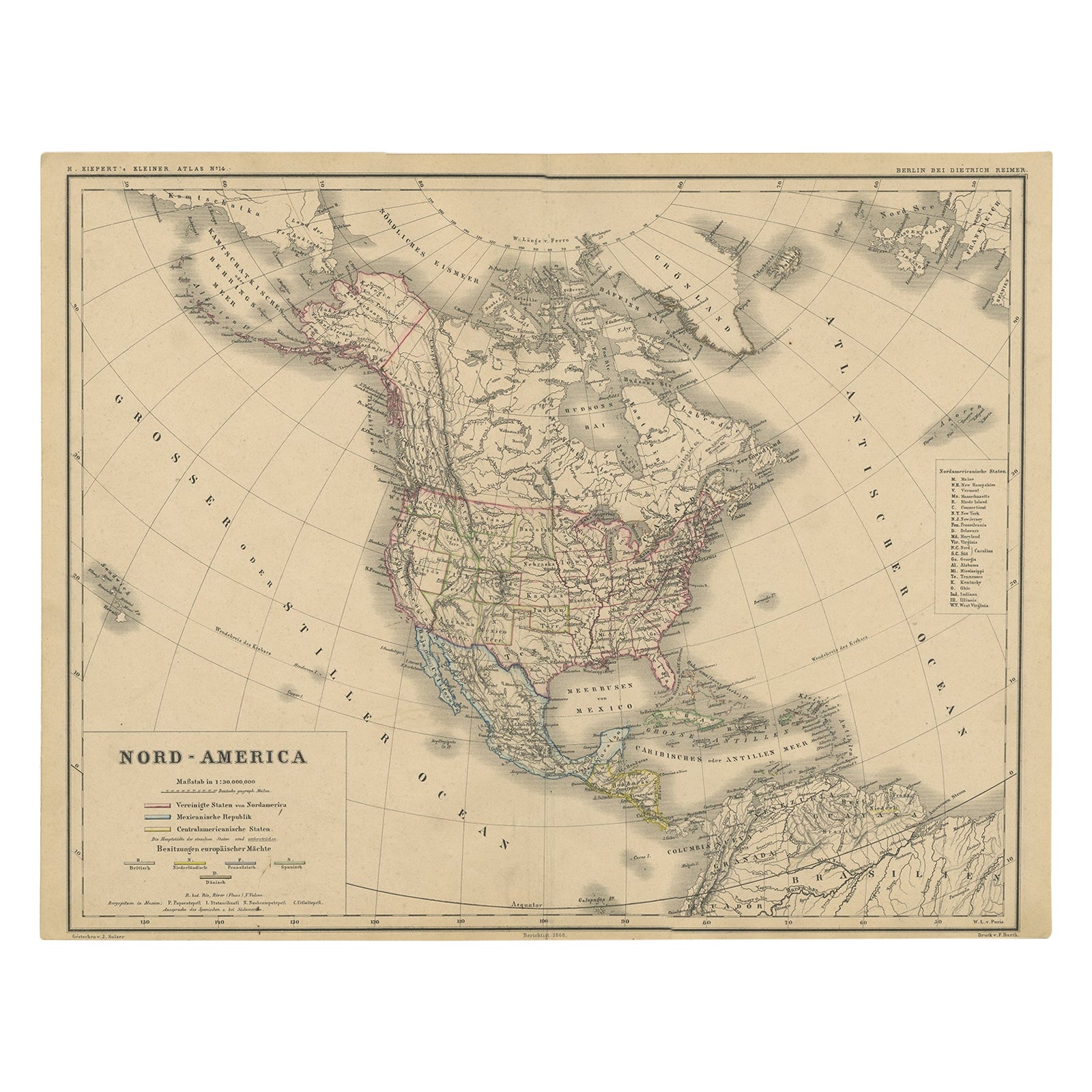
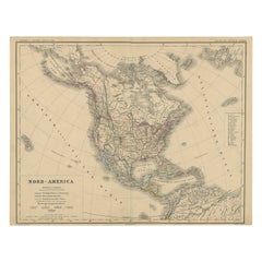
- Old Original Antique German Map of North America, ca.1870Located in Langweer, NLAntique map titled 'Nord-America'. Old map of North America. This map originates from 'H. Kiepert's Kleiner Atlas der Neueren Geographie für Schule und Haus'. Artists and Engrave...Category
Antique 1870s Maps
MaterialsPaper
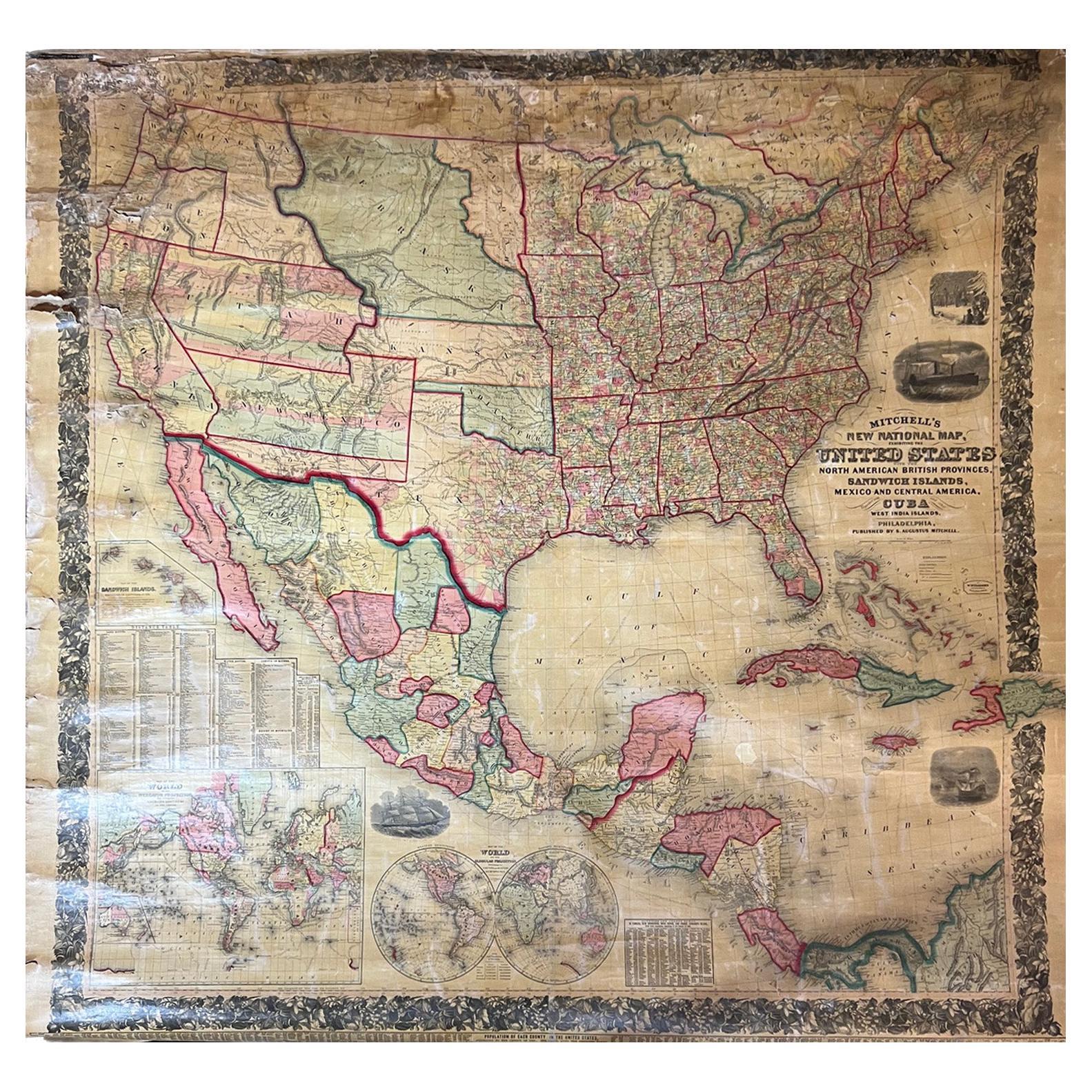
- Large Antique 1859 Map of North AmericaLocated in Sag Harbor, NYThis Map was made by Augustus Mitchell in 1859 It is in amazing condition for being 163 years old. This price is for the rolled up easy to ship version of this piece. I will be Frami...Category
Antique Mid-19th Century American Maps
MaterialsCanvas, Paper

- Antique Map of North America by Johnson, '1872'Located in Langweer, NLAntique map titled 'Johnson's North America'. Original map of North America, with an inset map of the Hawaiian group or Sandwich Islands. This map originates from 'Johnson's New Illu...Category
Antique Late 19th Century Maps
MaterialsPaper
 $349 Sale Price20% Off
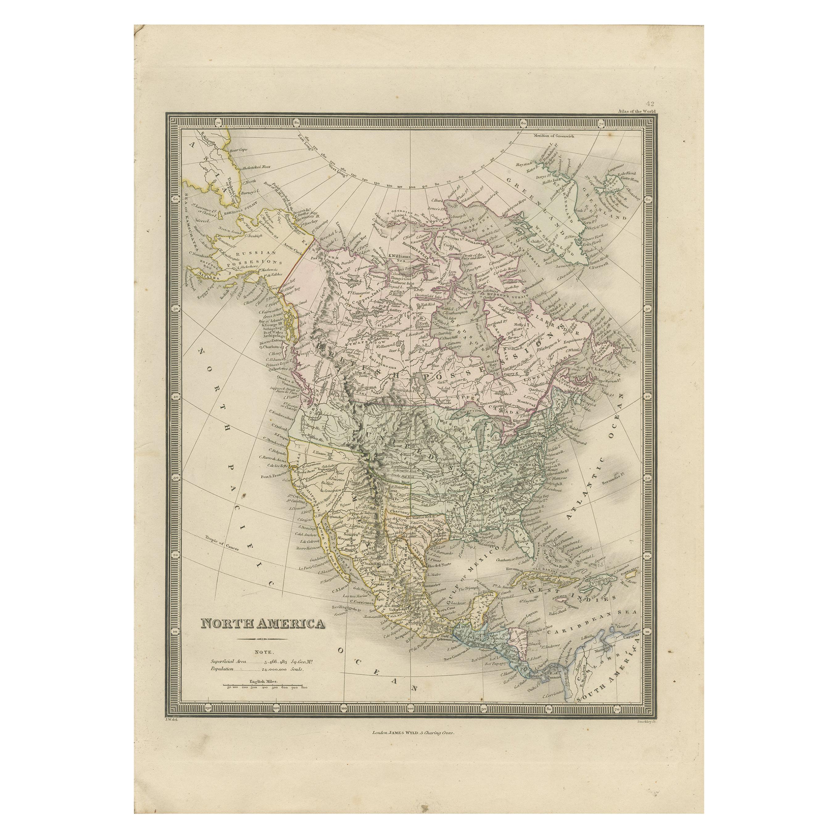
 - Antique Map of North America by Wyld '1845'Located in Langweer, NLAntique map titled 'North America'. Original antique map of North America. This map originates from 'An Atlas of the World, Comprehending ...Category
Antique Mid-19th Century Maps
MaterialsPaper
 $178 Sale Price34% Off
 - Antique Map of North America by Lowry '1852'Located in Langweer, NLAntique map titled 'North America'. Original map of North America. This map originates from 'Lowry's Table Atlas constructed and engraved from the...Category
Antique Mid-19th Century Maps
MaterialsPaper


Recently Viewed
View AllMore Ways To Browse
Leicestershire Antique Map
Alabama Antique Map
Antique Alabama Map
Berkshire Antique Map
Ontario Map
Warwickshire Antique Map
Antique Map Of Alabama
Heinrich Kiepert On Sale
Hertfordshire Antique Map
Poired Metal
Ruscelli Map
Antique Map Kentucky
Antique Map Tennessee
Antique Maps Of Tennessee
Huntingdonshire Antique Map
Mappemonde Antique
Tennessee Map
Antique Bermuda Maps