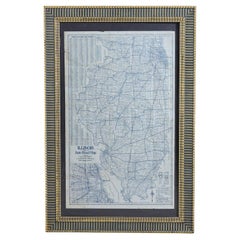
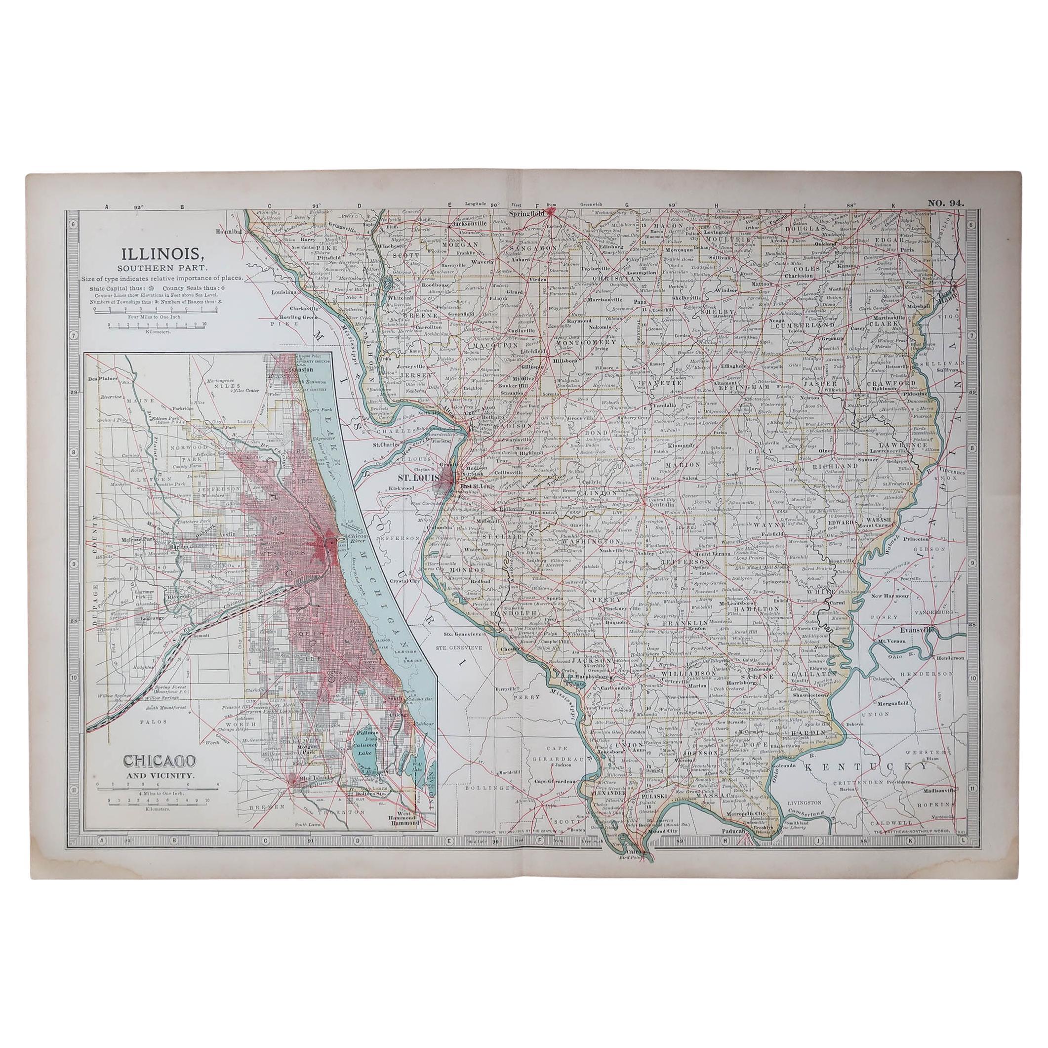
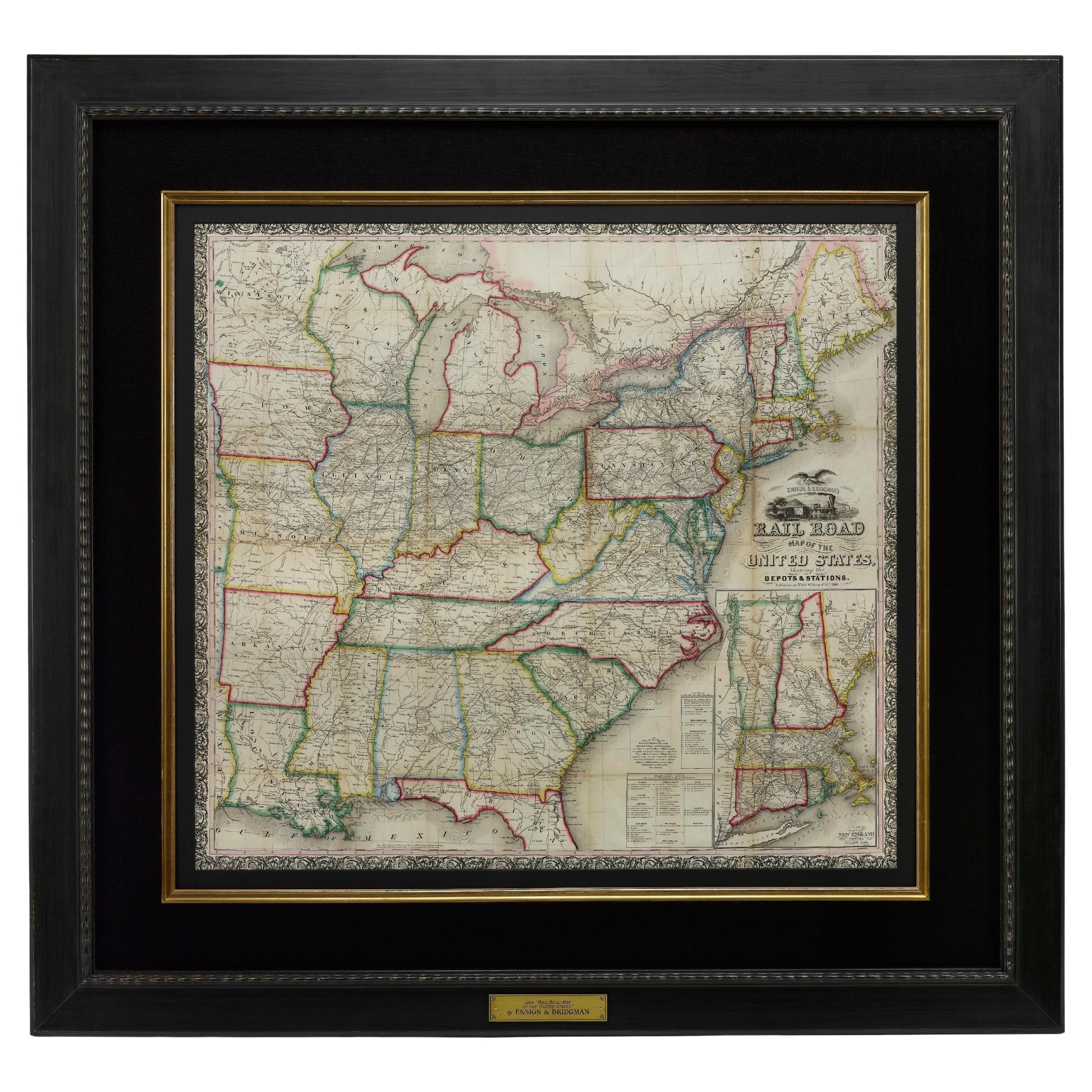
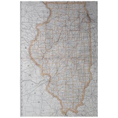
Illinois Road Map
View Similar Items
Want more images or videos?
Request additional images or videos from the seller
1 of 5
Illinois Road Map
About the Item
- Dimensions:Height: 35.5 in (90.17 cm)Width: 23.5 in (59.69 cm)Depth: 1 in (2.54 cm)
- Materials and Techniques:
- Place of Origin:
- Period:
- Date of Manufacture:1927
- Condition:
- Seller Location:Round Top, TX
- Reference Number:Seller: SC5991stDibs: LU820829514852
About the Seller
5.0
Vetted Professional Seller
Every seller passes strict standards for authenticity and reliability
Established in 1987
1stDibs seller since 2006
247 sales on 1stDibs
Typical response time: 2 hours
Authenticity Guarantee
In the unlikely event there’s an issue with an item’s authenticity, contact us within 1 year for a full refund. DetailsMoney-Back Guarantee
If your item is not as described, is damaged in transit, or does not arrive, contact us within 7 days for a full refund. Details24-Hour Cancellation
You have a 24-hour grace period in which to reconsider your purchase, with no questions asked.Vetted Professional Sellers
Our world-class sellers must adhere to strict standards for service and quality, maintaining the integrity of our listings.Price-Match Guarantee
If you find that a seller listed the same item for a lower price elsewhere, we’ll match it.Trusted Global Delivery
Our best-in-class carrier network provides specialized shipping options worldwide, including custom delivery.More From This Seller
View AllVaulting Horse
Located in Round Top, TX
Small wood and leather vaulting horse with leather wrapped legs and iron feet.
Category
Mid-20th Century Benches
Materials
Iron

$2,500
Sullivan Designed Capital from the Chicago Stock Exchange
Located in Round Top, TX
A rare Louis Sullivan designed four-piece terracotta capital from the Chicago stock exchange, 1893, by the legendary firm of Adler and Sullivan.
Category
Antique Late 19th Century American Architectural Elements
Materials
Terracotta

Iron Elevator Indicator Panel from The Fisher Building, Chicago, 1896
Located in Round Top, TX
A late 19th century cast iron elevator indicator panel from the famed Fisher Building designed and built by Daniel Burnham in 1896. The indicator de...
Category
Antique Late 19th Century American Historical Memorabilia
Materials
Iron

Frank Lloyd Wright Designed Fragment from the Francisco Terrace, Chicago, IL
Located in Round Top, TX
A rare Frank Lloyd Wright designed terracotta fragment from the facade of Francisco Terrace apartment complex, Chicago, IL. Francisco Terrace, 1895...
Category
Antique Late 19th Century American Historical Memorabilia
Materials
Terracotta

Cast Iron Crucifix
Located in Round Top, TX
Cast iron crucifix. Great casting and quality.
Category
Vintage 1910s French Religious Items
Materials
Iron

$2,400
Cast Iron Crucifix
Located in Round Top, TX
Cast iron crucifix. Great casting and quality.
Category
Vintage 1910s French Religious Items
Materials
Iron

$2,800
You May Also Like
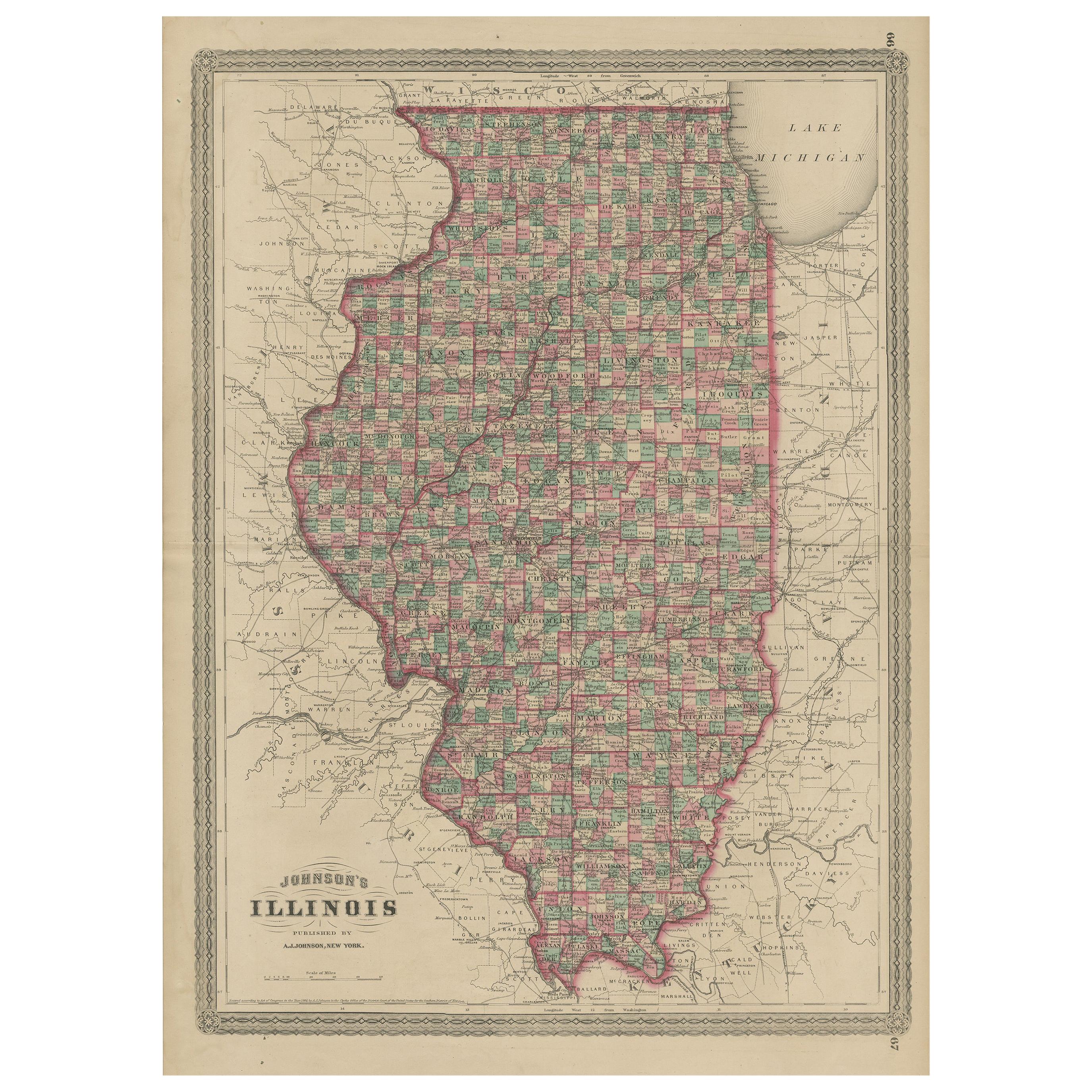
Antique Map of Illinois by Johnson, 1872
Located in Langweer, NL
Antique map titled 'Johnson's Illinois'. Original map of Illinois. This map originates from 'Johnson's New Illustrated Family Atlas of the World' by A....
Category
Antique Late 19th Century Maps
Materials
Paper

$231 Sale Price
20% Off
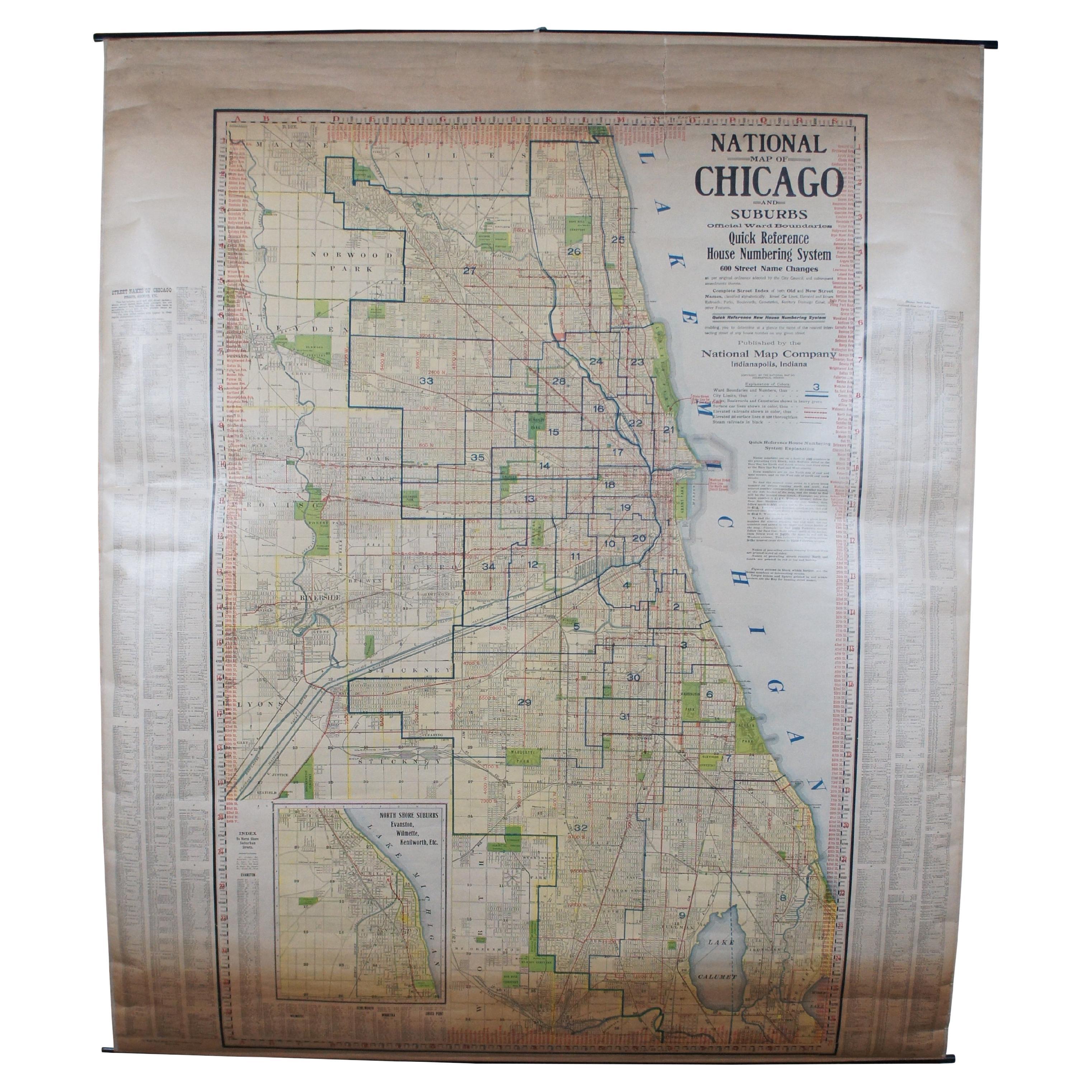
Antique Chicago Illinois National Map Commercial Rollup Classroom Census Map 47"
Located in Dayton, OH
Antique early to mid 20th century double sided hanging map titled the New Commercial and Census Map of Illinois, Edition 1073. Verso shows the National Map of Chicago and Suburbs - O...
Category
Early 20th Century North American Maps
Materials
Paper

$940 Sale Price
20% Off
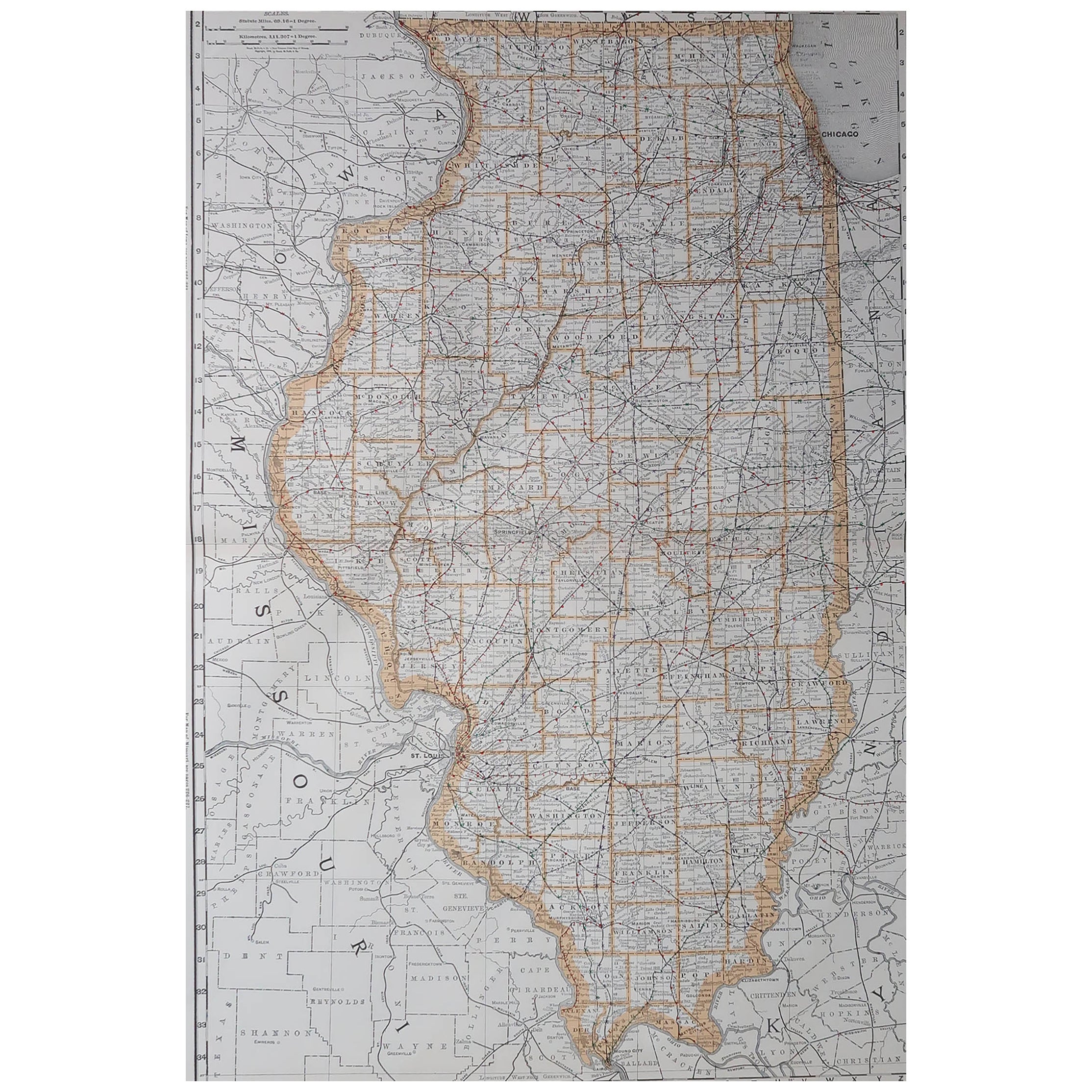
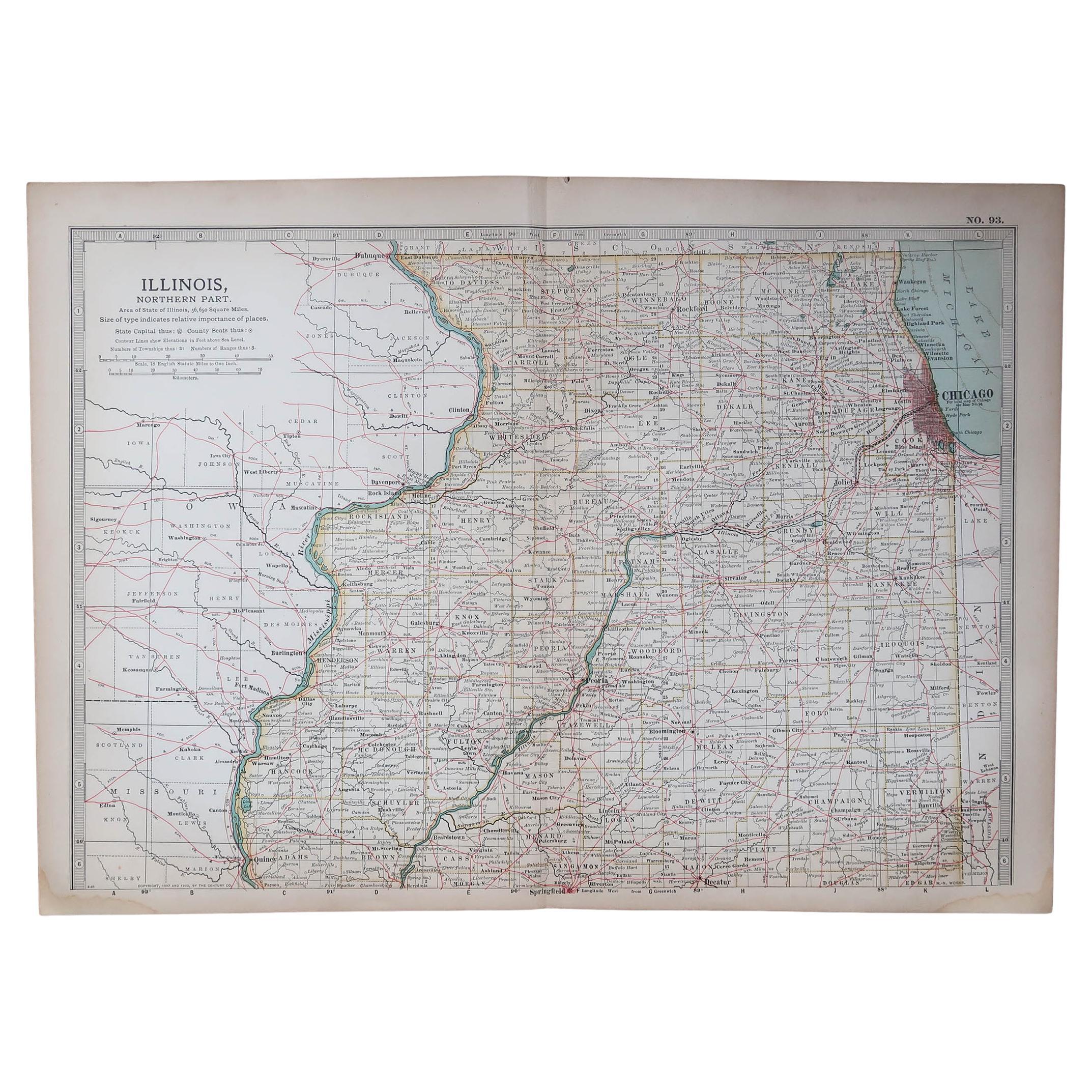
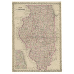
Large Original Antique Map of Illinois, USA, 1894
By Rand McNally & Co.
Located in St Annes, Lancashire
Fabulous map of Illinois
Original color
By Rand, McNally & Co.
Published, 1894
Unframed
Free shipping.
Category
Antique 1890s American Maps
Materials
Paper
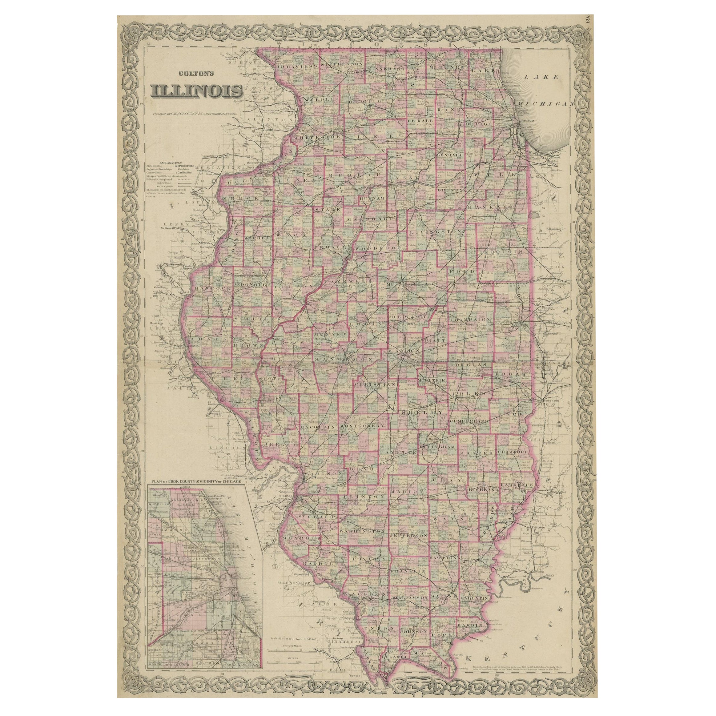
Colton's Map of Illinois, with an Inset of Chicago
Located in Langweer, NL
Antique map titled 'Colton's Illinois'. Antique map of Illinois, a state in the Midwestern United States. With an inset map of of Cook County &...
Category
Antique Mid-19th Century Maps
Materials
Paper
$222 Sale Price
20% Off
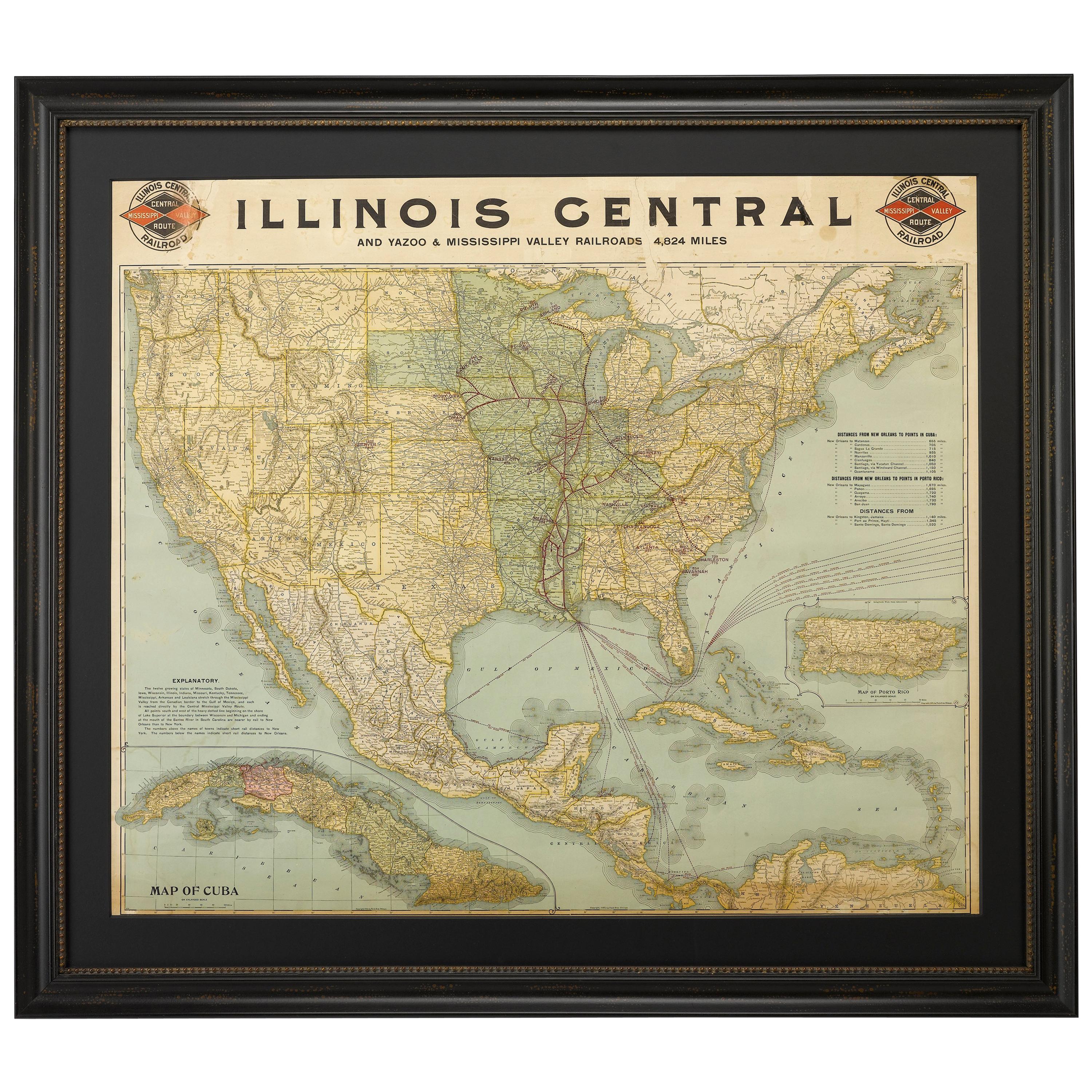
1899 Poole Brothers Antique Railroad Map of the Illinois Central Railroad
Located in Colorado Springs, CO
This is an 1899 railroad map of the Illinois Central and Yazoo and Mississippi Valley Railroads, published by the Poole Brothers. The map focuses on the continuous United States from the Atlantic to the Pacific Oceans, the Gulf of Mexico, and the Antilles. Remarkably detailed, the rail routes of the Illinois Central RR are marked in red, which each stop labeled. Major stops are overprinted in red, bold letters, with the short rail distances to New York listed above the stop and short rail distances to New Orleans listed below the name.
In addition to the Illinois Central network, numerous different rail lines are illustrated and the company running that line is noted along with many stops along each route. Sea routes from New Orleans to locations in Central America, the Caribbean, and Europe are marked and labeled with destination and distance, along with routes originating from Havana. Inset at bottom left is a map of Cuba; an inset map of Puerto Rico...
Category
Antique 1890s American Maps
Materials
Paper

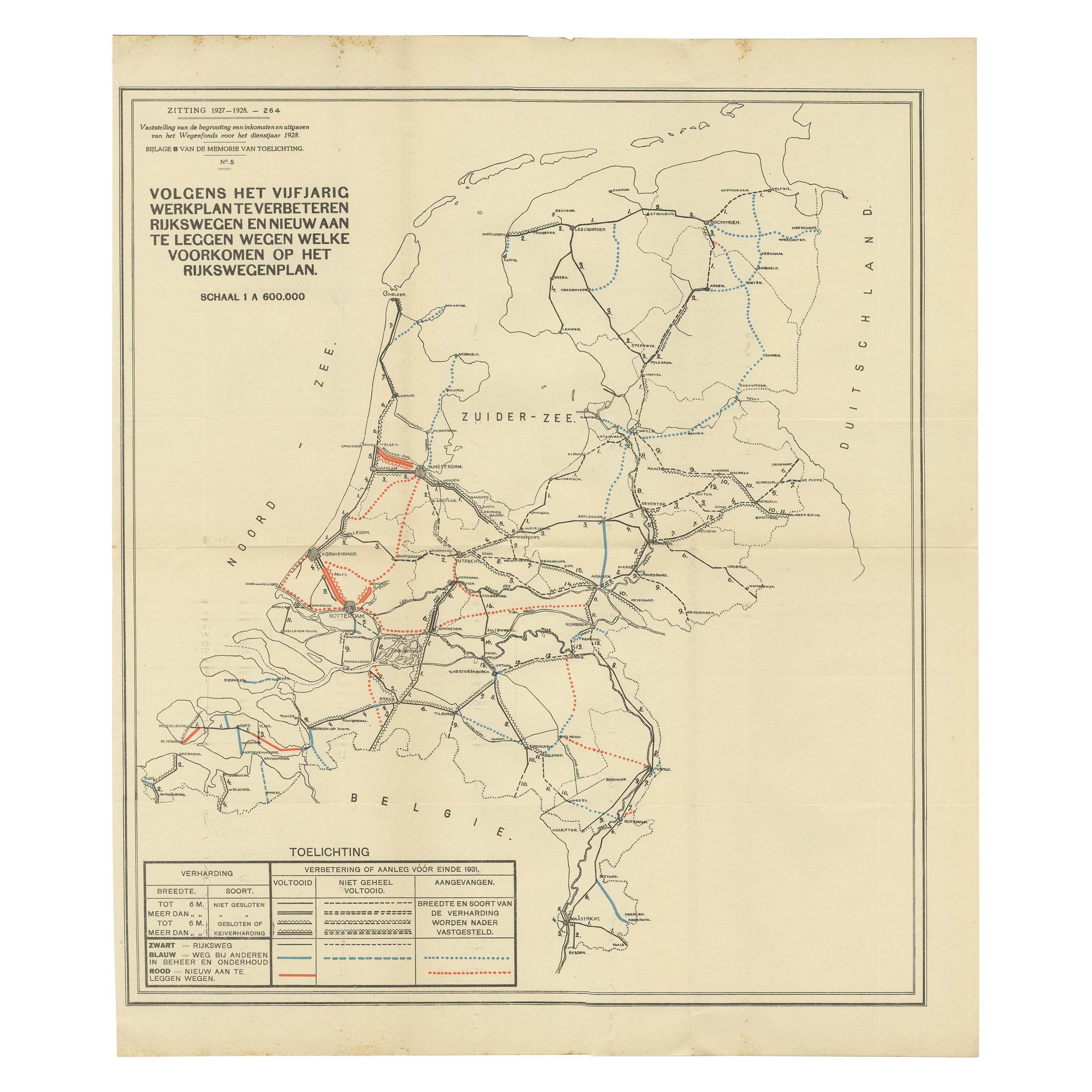
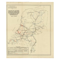
Vintage Road Map of the Netherlands '1928'
Located in Langweer, NL
Vintage map titled 'Volgens het vijfjarig Werkplan te verbeteren Rijkswegen en nieuw aan te leggen wegen welke voorkomen op het Rijkswegenplan'. Map of the Netherlands...
Category
20th Century Maps
Materials
Paper
$231 Sale Price
20% Off