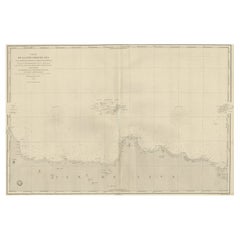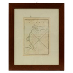
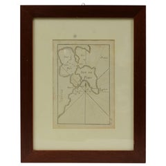
Antique Nautical Chart of Cipre e Limasol by Antoine Roux, France, 1844
View Similar Items


Want more images or videos?
Request additional images or videos from the seller
1 of 9
Antique Nautical Chart of Cipre e Limasol by Antoine Roux, France, 1844
About the Item
- Creator:Antoine Roux (Maker)
- Dimensions:Height: 14.97 in (38 cm)Width: 12.21 in (31 cm)Depth: 0.79 in (2 cm)
- Materials and Techniques:
- Place of Origin:
- Period:
- Date of Manufacture:1844
- Condition:
- Seller Location:Milan, IT
- Reference Number:1stDibs: LU1020220784382
About the Seller
4.9
Vetted Seller
These experienced sellers undergo a comprehensive evaluation by our team of in-house experts.
Established in 1999
1stDibs seller since 2014
371 sales on 1stDibs
More From This SellerView All
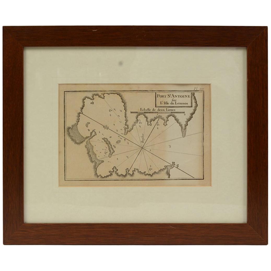
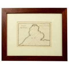
- Antique Nautical Portolano of Port St. Antoine by Antoine Roux, France, 1844By Antoine RouxLocated in Milan, ITAntique portolano, nautical map of Port St. Antoine engraved on a copper plate by Antoine Roux, Marseille, France, 1844, from his work Recueil des principaux plans des ports et de Ra...Category
Antique 1840s French Nautical Objects
MaterialsPaper
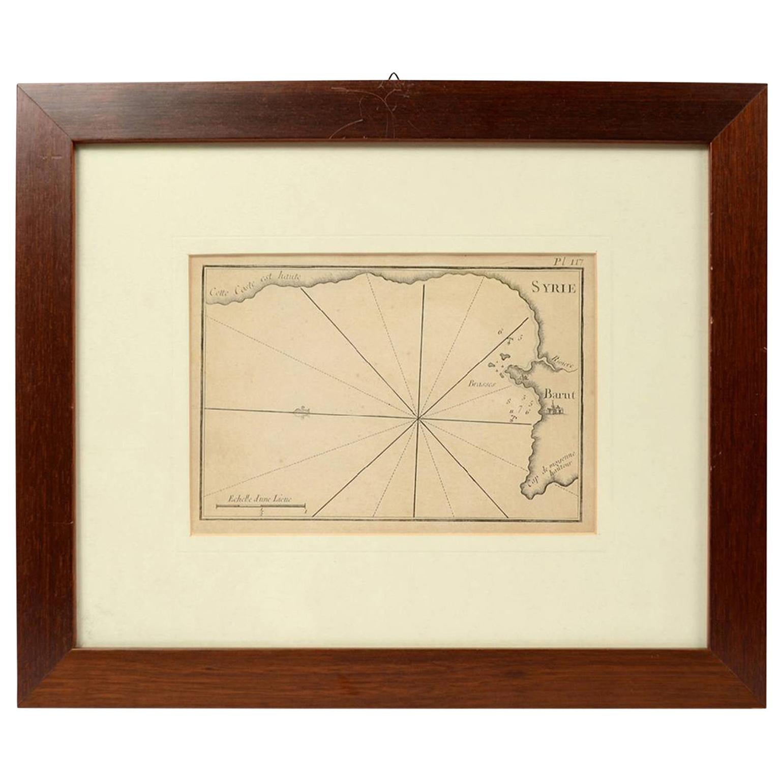
- 1844 French Antique Nautical print Engraved Portolano of Syrie by Antoine RouxBy Antoine RouxLocated in Milan, ITAntique portolano, nautical map of Syrie engraved on a copper plate by Antoine Roux, Marseille France 1844, from his work Recueil des principaux plans des ports et de Rades de la Mer...Category
Antique 1840s French Nautical Objects
MaterialsPaper
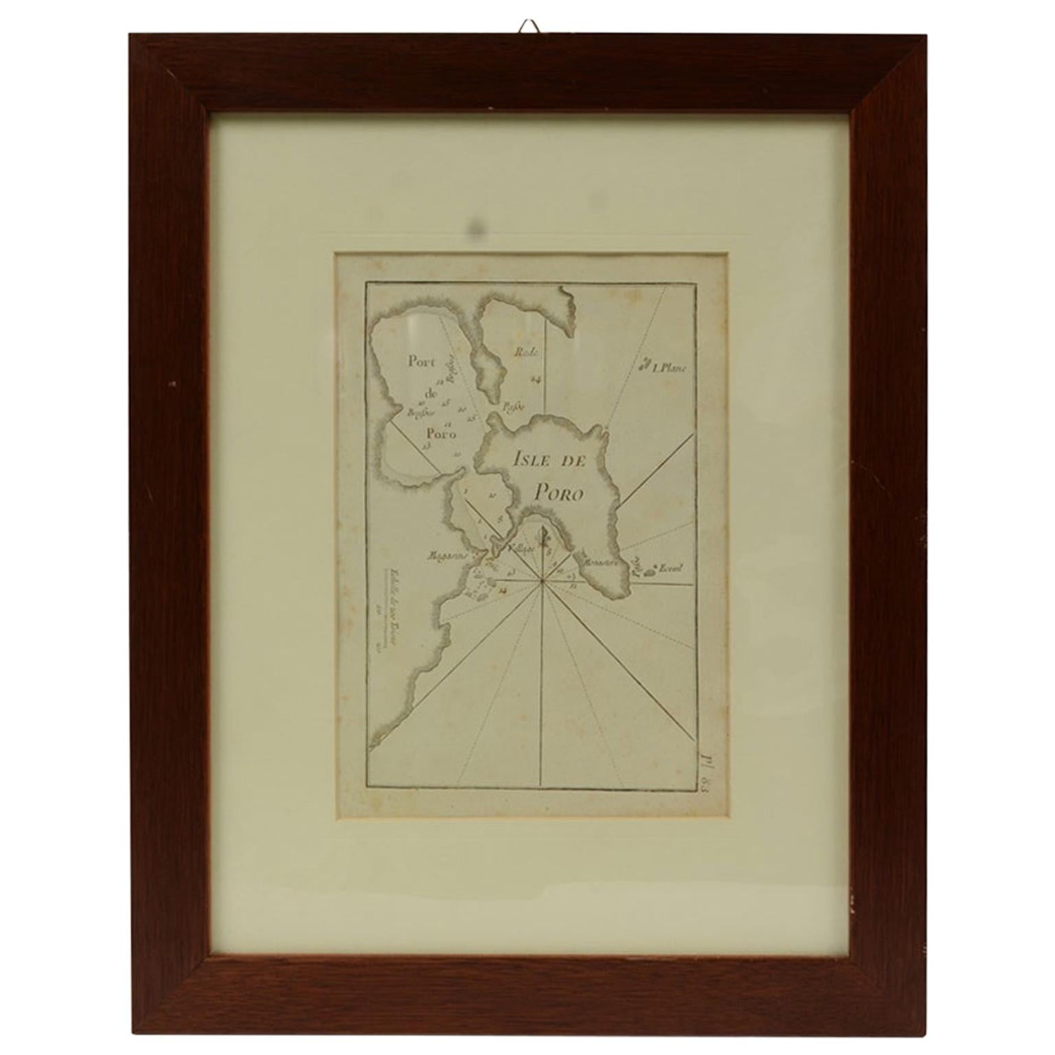
- Antique Nautical Portolano of Isle De Poro by Antoine Roux, France, 1844By Antoine RouxLocated in Milan, ITAntique portolano, nautical map of Isle De Poro engraved on a copper plate by Antoine Roux, Marseille France 1844, from his work Recueil des principaux plans des ports et de Rades de...Category
Antique 1840s French Nautical Objects
MaterialsPaper
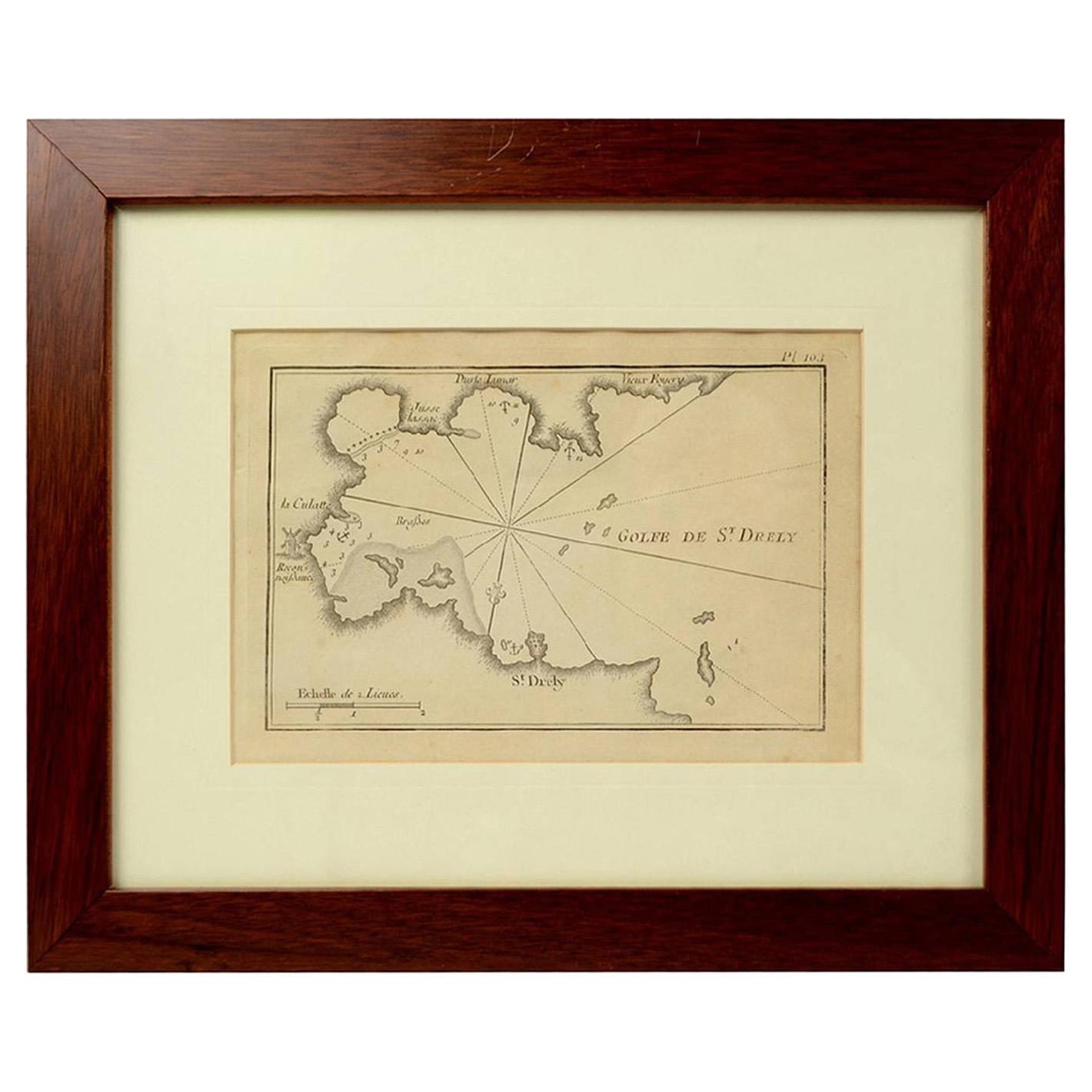
- 1844 French Antique Nautical Portolano of Golfe De St. Drely by Antoine RouxBy Antoine RouxLocated in Milan, ITAntique portolano, nautical map of Golfe De St. Drely engraved on a copper plate by Antoine Roux, Marseille France 1844, from his work Recueil des principaux plans des ports et de Ra...Category
Antique 1840s French Nautical Objects
MaterialsPaper
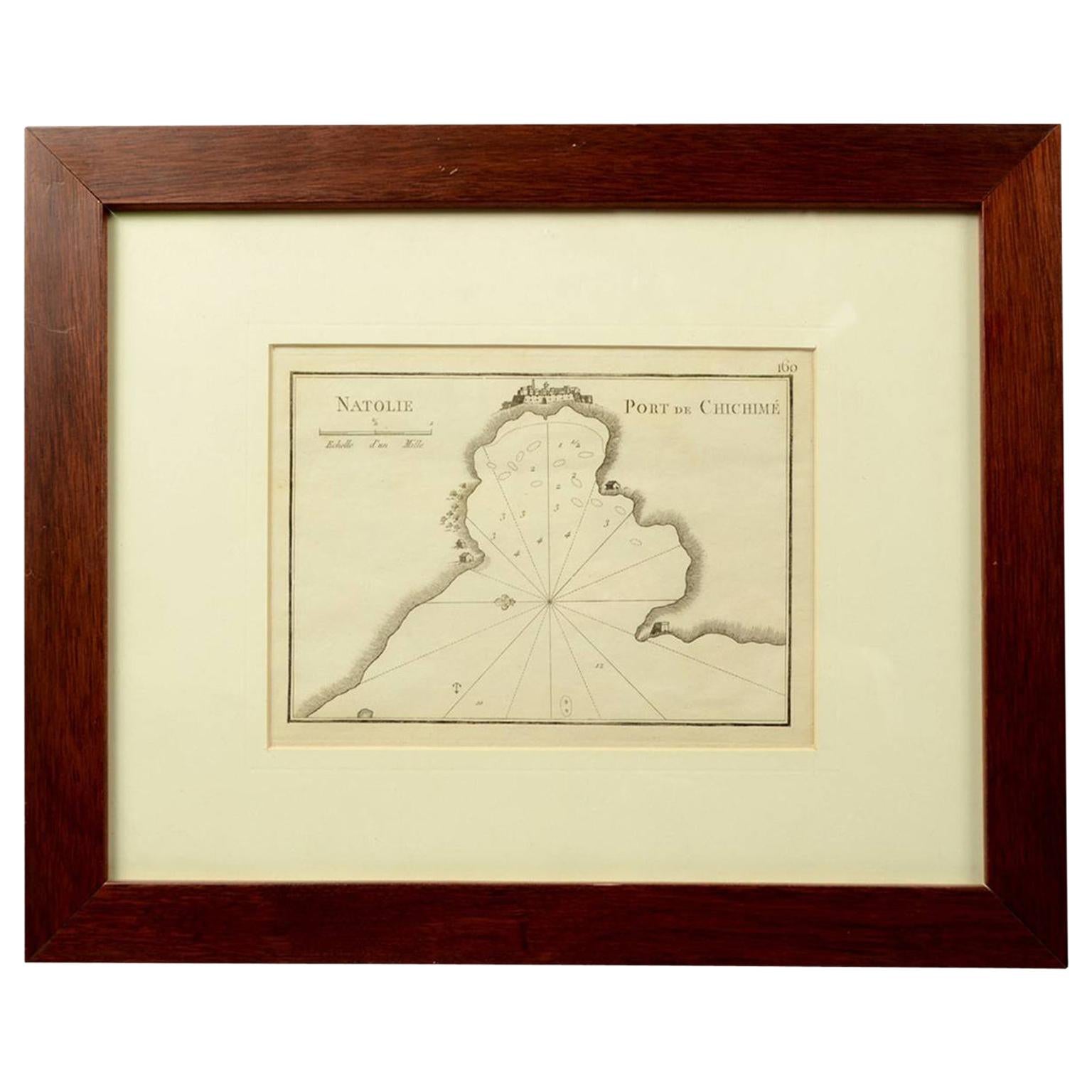
- 1844 French Nautical Portolano of Port De Chichimé Natolie by Antoine RouxBy Antoine RouxLocated in Milan, ITAntique portolano, nautical map of Port De Chichimé Natolie engraved on a copper plate by Antoine Roux, Marseille France 1844, from his work Recueil des principaux plans des ports et...Category
Antique 1840s French Nautical Objects
MaterialsPaper
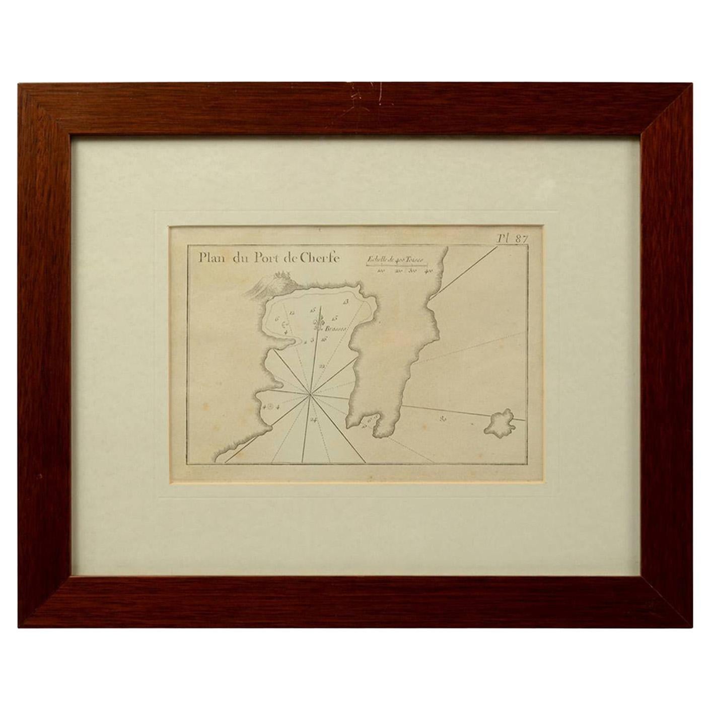
- 1844 French Antique Nautical Portolan of Plan du Port de Cherfe by Antoine RouxBy Antoine RouxLocated in Milan, ITAntique portolano, nautical map of Plan du Port de Cherfe engraved on a copper plate by Antoine Roux, Marseille France 1844, from his work Recueil des principaux plans des ports et d...Category
Antique 1840s French Nautical Objects
MaterialsPaper


You May Also Like
- Antique Nautical Chart Brass MagnifiersLocated in New York, NYEach with domed glass set within a brass surround. Of large size. Dimensions: One: Height: 4 x Diameter: 8.5 inchesThe Other: Height: 4.5 x Diameter: 11 inchesCategory
Early 20th Century Nautical Objects
MaterialsBrass
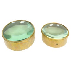 $2,000 / set
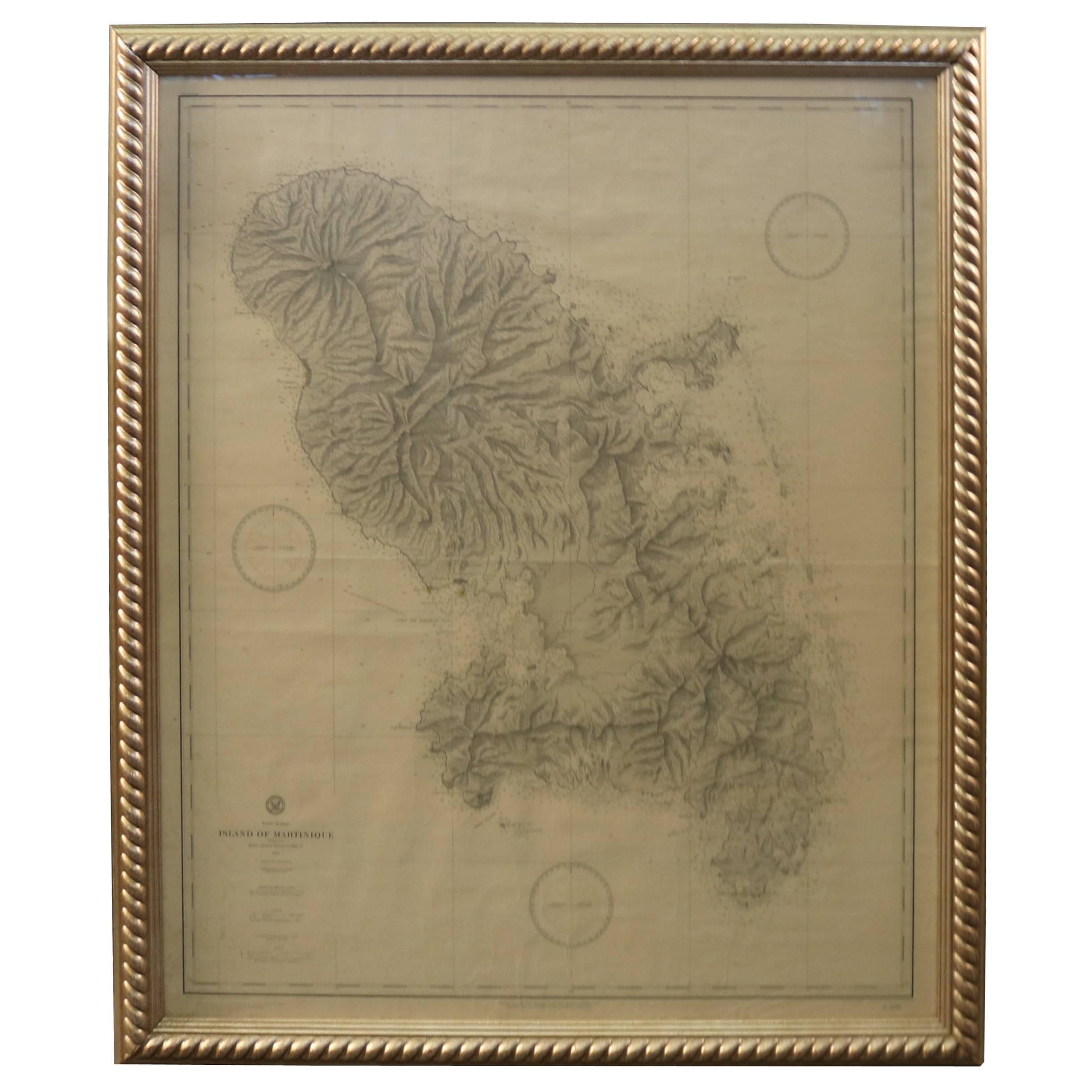
 - 19th Century Nautical Chart of MartiniqueLocated in Norwell, MAOriginal map of Martinique from 1887 with chartered waters around the island. Prepared from a French survey, completed in 1825, showing town, ports, rivers and tributaries. Published...Category
Antique 19th Century Nautical Objects
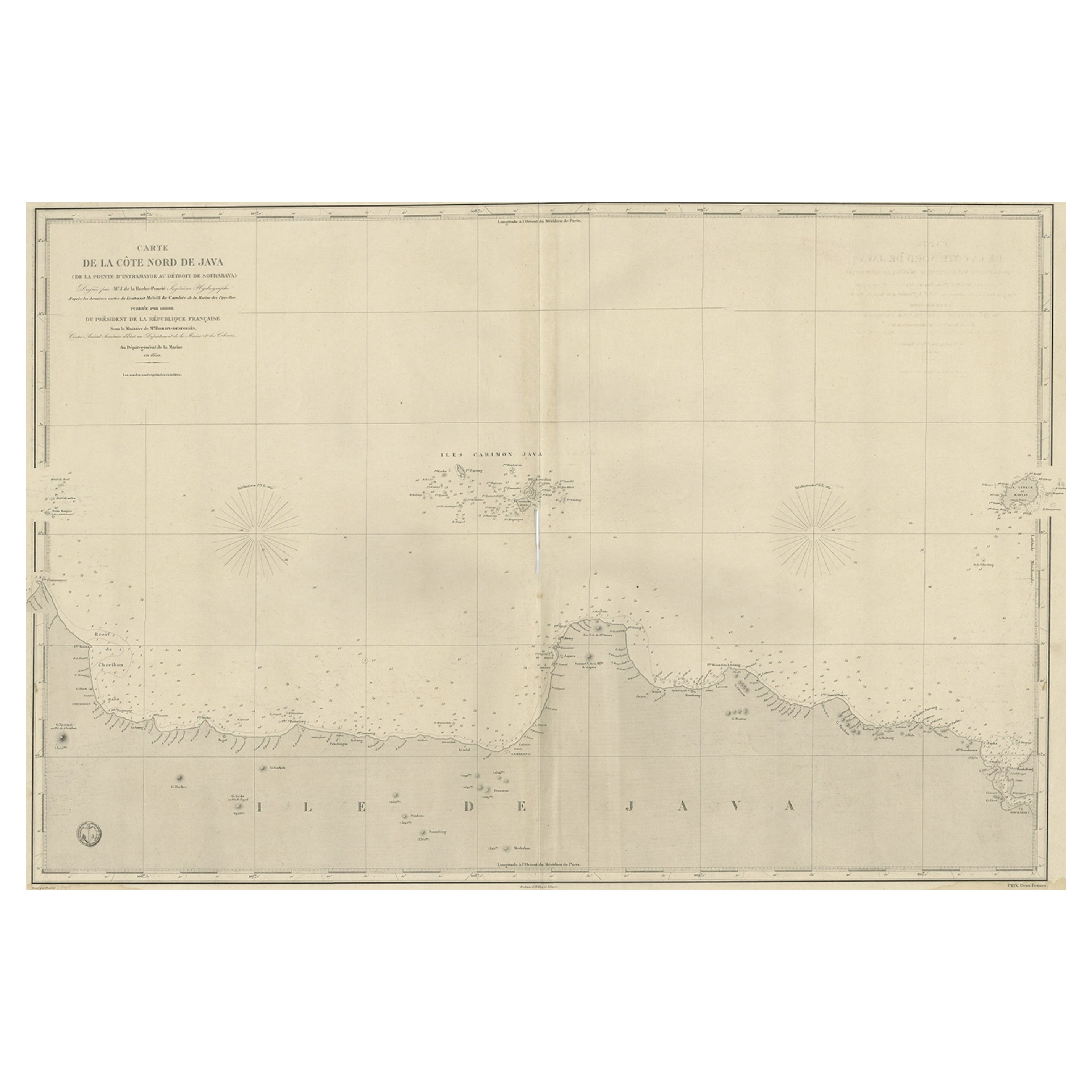
- Early French Nautical Chart of the Northern Coast of of Java, Indonesia, C.1850Located in Langweer, NLAntique map titled Carte de la côte Nord de Java. Early French nautical chart of the northern coast of the island of Java, Indonesia. It includes Ci...Category
Antique 1850s Maps
MaterialsPaper
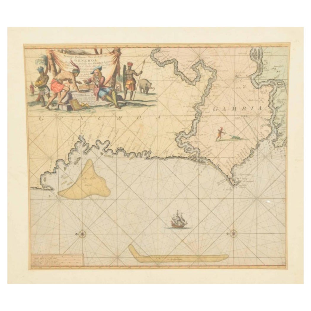
- Original Hand-Coloured Nautical Chart of West-Africa, c.1680Located in Langweer, NLNIEUWE PASKAERT VAN DE KUST VAN GENEHOA (Senegal) alsmede een gedeelte van Gambia beginnende an C. Blanco tot C. Verde (...). Amsterdam, Johannus van Keulen, c. 1680. Large folio...Category
Antique 17th Century Maps
MaterialsPaper
 $1,276 Sale Price20% Off
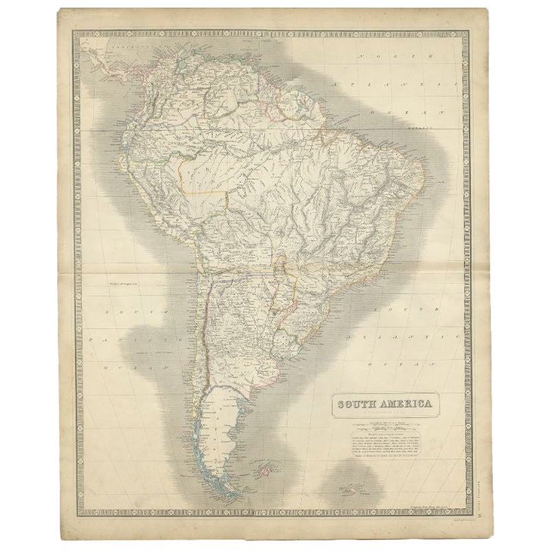
 - Antique Map of South America by Johnston, 1844Located in Langweer, NLAntitique map titled 'South America'. Beautiful original antique map of South America. This map originates from 'The National Atlas of His...Category
Antique 19th Century Maps
MaterialsPaper
- Antique Map of New Zealand by Arrowsmith '1844'Located in Langweer, NLAntique map titled 'Map of the colony of New Zealand from official documents'. A scarce map of New Zealand. First issued in the 1830s, this state sh...Category
Antique Mid-19th Century Maps
MaterialsPaper
 $1,444 Sale Price24% Off