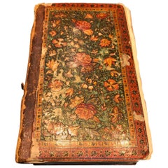
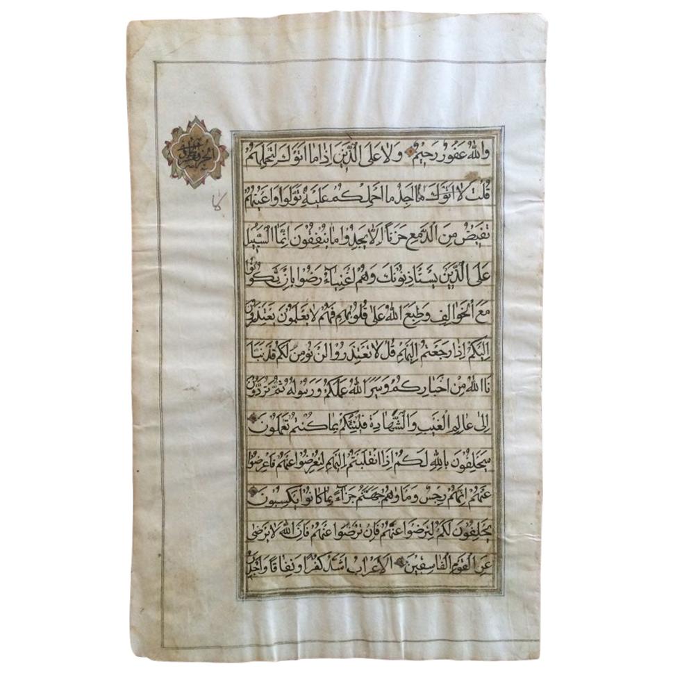
Qur'an Kashmir, North India, Dated AH 1252/1836-37 AD
View Similar Items

1 of 15
Qur'an Kashmir, North India, Dated AH 1252/1836-37 AD
About the Item
- Dimensions:Height: 7.88 in (20 cm)Width: 4.73 in (12 cm)Depth: 1.97 in (5 cm)
- Style:Other (Of the Period)
- Materials and Techniques:
- Place of Origin:
- Period:
- Date of Manufacture:19th Century
- Condition:Minor structural damages.
- Seller Location:London, GB
- Reference Number:1stDibs: LU2207312298791
You May Also Like
- North Indian Illuminated Calligraphy Qur'an Leaf, 18th-19th CenturyLocated in Stamford, CTA single two-sided Qur'an manuscript leaf with beautiful hand inked calligraphy with gilt borders and a gilt cartouche with calligraphic decoration. No...Category
Antique Early 19th Century Indian Islamic Religious Items
MaterialsPaper
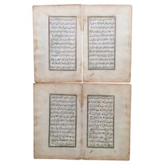
- 19th Century Ottoman Qur'an Manuscript Leaves, a Set of FourLocated in Stamford, CTA set of four Ottoman manuscript pages from a Qur'an with exquisite black ink calligraphy with gilded highlights and gilt borders. Truly wonderful and ...Category
Antique Early 19th Century Turkish Islamic Decorative Art
MaterialsPaper
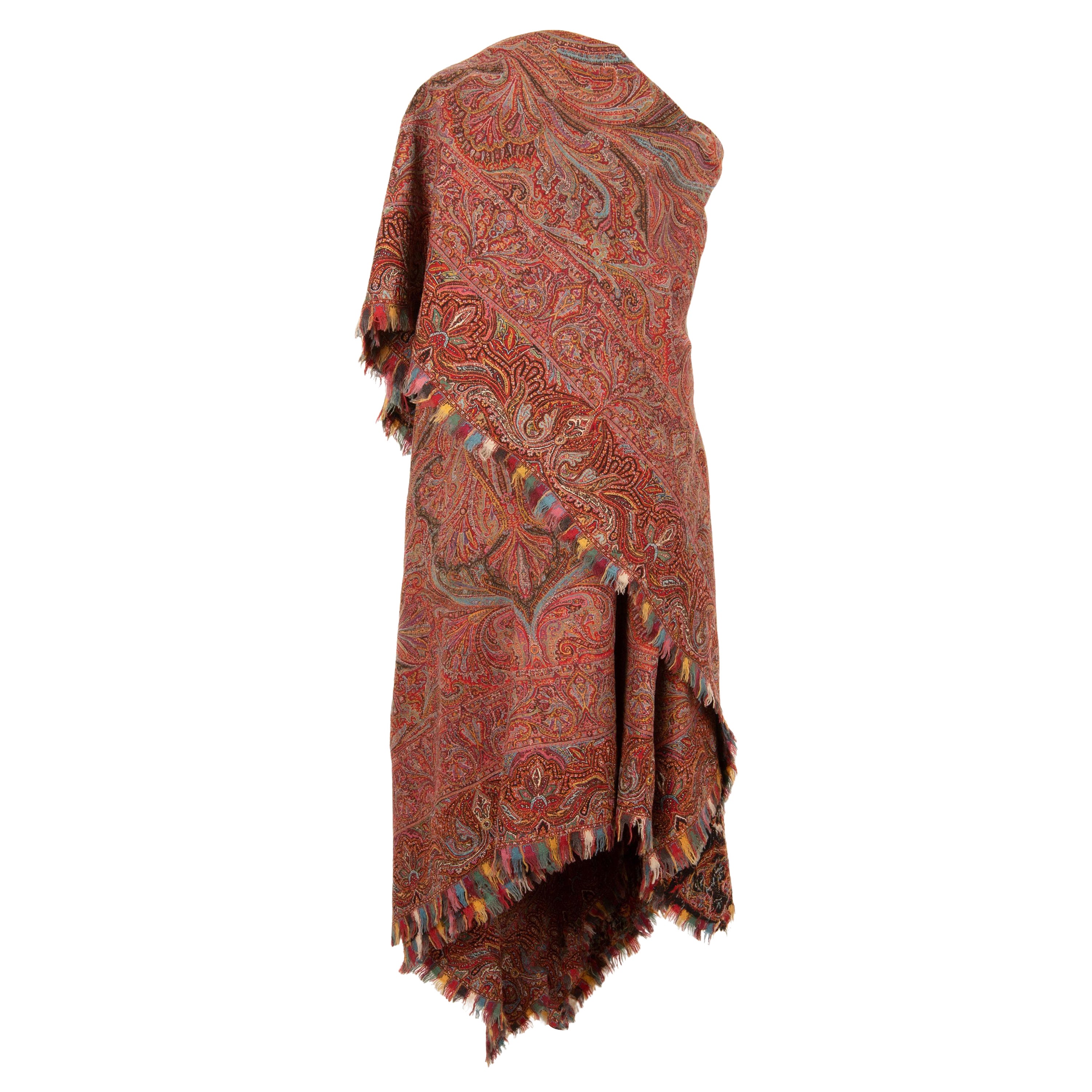
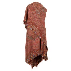
- Kashmir Shawl, IndiaLocated in Istanbul, TRThis is a very good example to the shawls of 19th C. from India.. It is in rather good shape for its age.Category
Antique 19th Century Indian Islamic Textiles
MaterialsWool
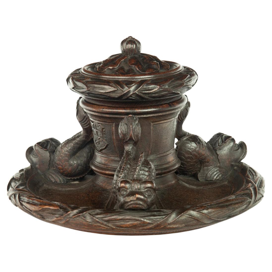
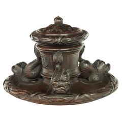
- An oak inkwell carved from Lutine timber, dated 1799Located in Lymington, HampshireThis large and historically interesting inkwell, or standish, is carved from timber recovered from the wreck of H.M.S. Lutine. It has a central inkwell, with a bud and oakleaf cover...Category
Antique 1860s Nautical Objects
MaterialsOak
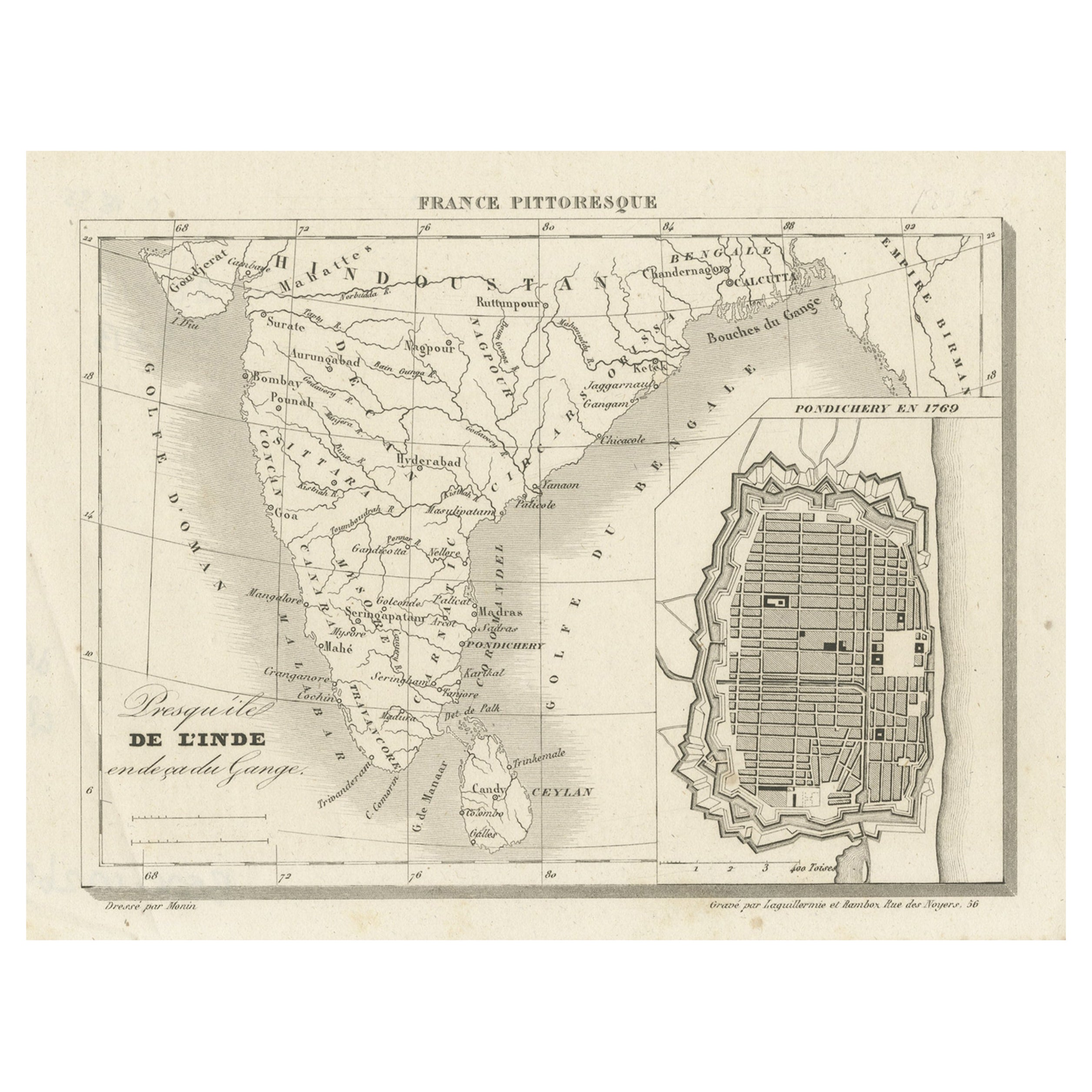
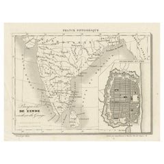
- French Antique Map of India with an Inset of Pondicherry, 1835Located in Langweer, NLAntique map India titled 'Presqu'ile de l'Inde en de ca du Gange'. Miniature map depicting India with an inset map of Pondicherry (Puducherry). This ...Category
Antique 19th Century Maps
MaterialsPaper
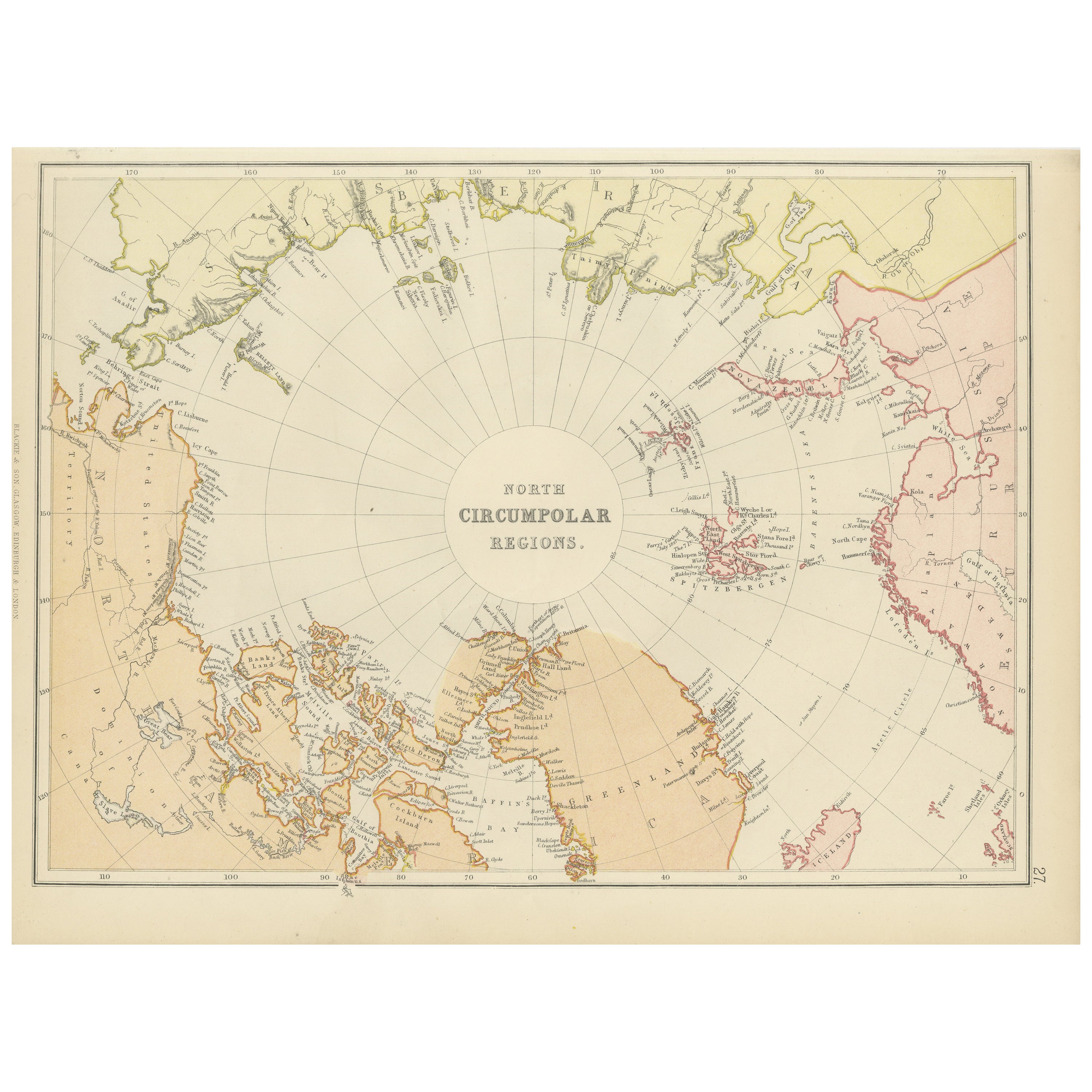
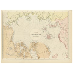
- Arctic Exploration: An Original Map of the North Circumpolar Regions, 1882Located in Langweer, NLThis map, extracted from the 1882 atlas by Blackie & Son, presents the North Circumpolar Regions in a projection centered on the North Pole, offering a unique view of the Arctic territories. The map's radial lines emanate from the pole, focusing on the northernmost parts of continents and the intricate archipelagos that are scattered across the Arctic Ocean. The territories of Canada, Greenland, Northern Europe, Russia, and the northern extremities of Asia are portrayed with careful detail, highlighting the geography known to Victorian explorers. Notably, the map's color palette is subdued, with the cold regions depicted in pale hues, while coastlines and political boundaries are traced in warmer tones, providing a stark contrast that emphasizes the frigid environment. The map likely served purposes both educational and navigational, capturing the extent of polar exploration at the time. Names of seas, straits, and islands honor explorers and patrons of the age of Arctic exploration, and the map also hints at the incomplete knowledge of the era, with some areas less detailed than others, reflecting the limits of exploration and cartographic knowledge of the Arctic region at that time. Moreover, the map includes longitudinal and latitudinal markers, which would have been crucial for navigation and expedition planning. The inclusion of such detail illustrates the growing interest in polar exploration during the late 19th century...Category
Antique 1880s Maps
MaterialsPaper

Recently Viewed
View AllMore Ways To Browse
Religious Medallion
Antique Religious Medallions
Illuminated Manuscript
Illuminated Ad
Papier Mache Kashmir
Kashmir Paper Mache
Religious Saint
Religious Cross
Religious Crosses
Religious Bronze
Used Church Items
Antique Gothic Revival
Wood Carved Religious
Antique Articles
Bible Antique
Antique Bibles
Antique Bible
Antique Oak Furniture Prices