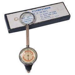
Vintage Map Measure, German, Compass, Magnifier, Navigational Tool, Mid Century
View Similar Items
Want more images or videos?
Request additional images or videos from the seller
1 of 10
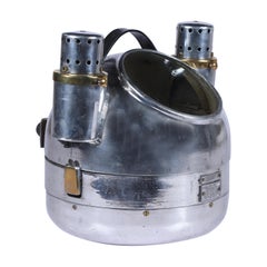
Vintage Map Measure, German, Compass, Magnifier, Navigational Tool, Mid Century
About the Item
- Dimensions:Height: 0.6 in (1.5 cm)Width: 5.32 in (13.5 cm)Depth: 1.78 in (4.5 cm)
- Style:Mid-Century Modern (Of the Period)
- Materials and Techniques:
- Place of Origin:
- Period:
- Date of Manufacture:circa 1960
- Condition:Wear consistent with age and use. Presented in very good vintage condition.
- Seller Location:Hele, Devon, GB
- Reference Number:Seller: 248561stDibs: LU2645342157442
About the Seller
5.0
Platinum Seller
Premium sellers with a 4.7+ rating and 24-hour response times
Established in 2005
1stDibs seller since 2017
999 sales on 1stDibs
Typical response time: 3 hours
Authenticity Guarantee
In the unlikely event there’s an issue with an item’s authenticity, contact us within 1 year for a full refund. DetailsMoney-Back Guarantee
If your item is not as described, is damaged in transit, or does not arrive, contact us within 7 days for a full refund. Details24-Hour Cancellation
You have a 24-hour grace period in which to reconsider your purchase, with no questions asked.Vetted Professional Sellers
Our world-class sellers must adhere to strict standards for service and quality, maintaining the integrity of our listings.Price-Match Guarantee
If you find that a seller listed the same item for a lower price elsewhere, we’ll match it.Trusted Global Delivery
Our best-in-class carrier network provides specialized shipping options worldwide, including custom delivery.More From This Seller
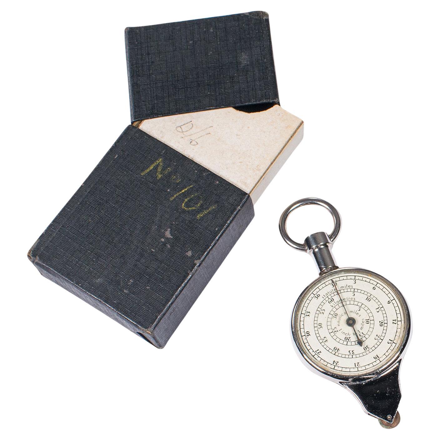
View AllVintage 2-in-1 Pendant Map Measure, German, Navigational Tool, Mid Century, 1960
Located in Hele, Devon, GB
This is a vintage 2-in-1 pendant map measure. A West German, cast metal and glass navigational tool, dating to the mid 20th century, circa 1960.
Fascinating pendant style map measu...
Category
Mid-20th Century German Mid-Century Modern Scientific Instruments
Materials
Metal

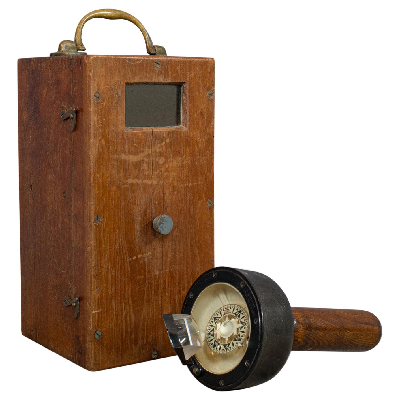
Vintage, Handheld Bearing Compass, English, Oak, Maritime, Navigation, Sestrel
Located in Hele, Devon, GB
This is a vintage hand-held bearing compass. An English, oak, marine navigation aid with Sestrel dial, dating to the mid-20th century, circa 1950.
A fascinating maritime set
Displays a desirable aged patina
Oak handle and walnut deck box...
Category
Mid-20th Century English Nautical Objects
Materials
Oak
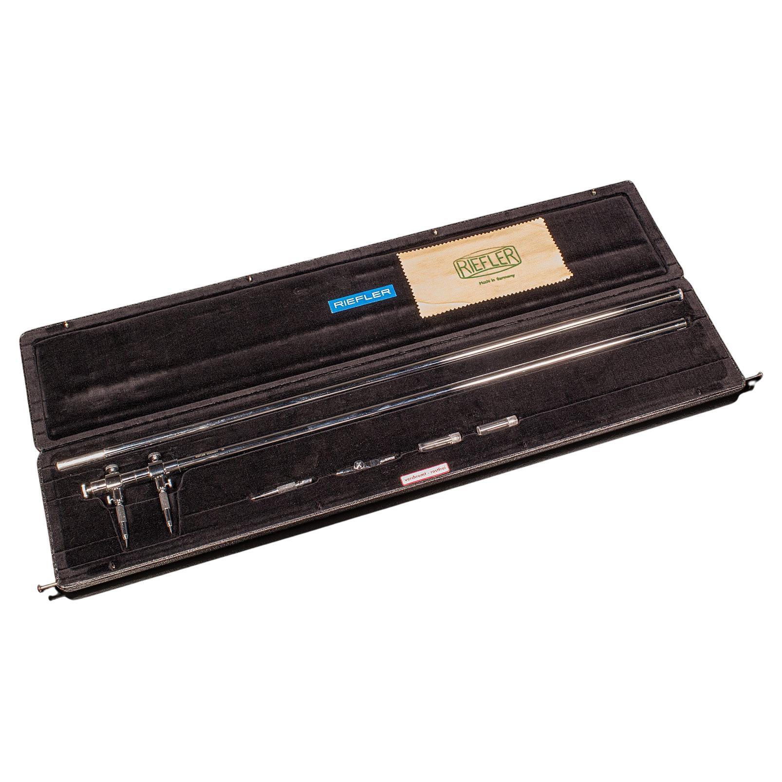
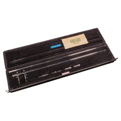
Vintage Beam Compass, German, Cartography, Architect Drawing Instrument, Riefler
Located in Hele, Devon, GB
This is a vintage beam compass. A German, silver nickel cartographer's or architect's drawing instrument by Riefler, dating to the late 20th cent...
Category
Late 20th Century German Mid-Century Modern Scientific Instruments
Materials
Nickel
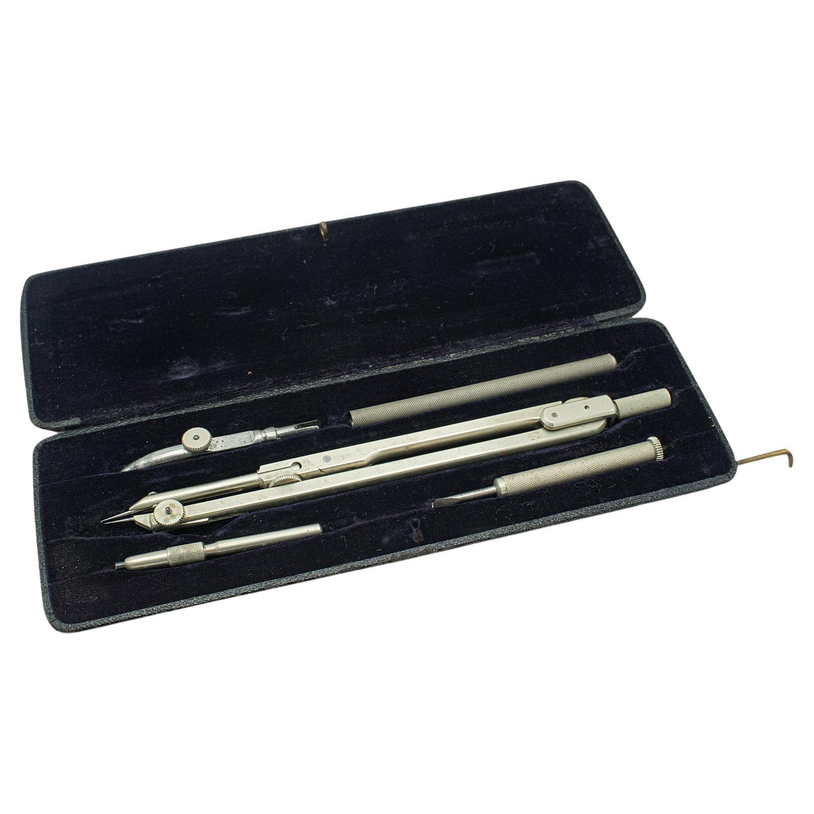
Vintage Draughtsman's Set, German, Drawing Instruments, Tools, Richter Pracision
Located in Hele, Devon, GB
This is a vintage draughtsman's set. A German, nickel silver drawing instrument set by E.O. Richter Präcision, dating to the mid 20th century, circa 1930.
Five piece instrument set ...
Category
Mid-20th Century German Mid-Century Modern Scientific Instruments
Materials
Nickel
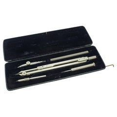
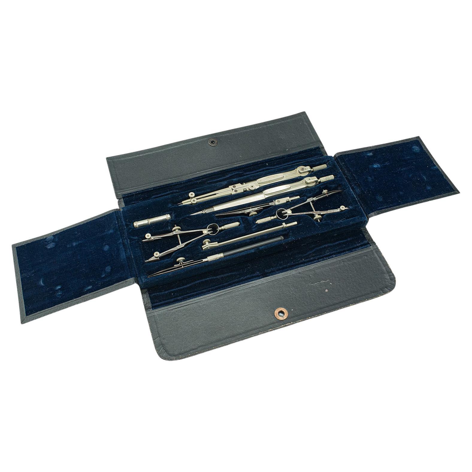
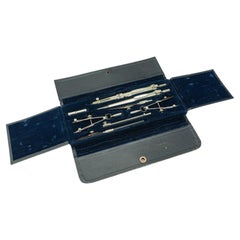
Vintage Drawing Instrument Set, German, Draughtsman's Tools, Schcenner, C.1930
Located in Hele, Devon, GB
This is a vintage drawing instrument set. A German, nickel draughtsman's tool case by Schcenner, dating to the mid 20th century, circa 1930.
Fine German instrument set in fold-out carry case
Displaying a desirable aged patina throughout
Silver nickel presents a lightly tarnished appearance, commensurate with age
Presented within a textured carry case with four fold design
8 pieces offering the essential tools for the travelling draughtsman
Comprises a pair of compass, two bow compass and ruling pen...
Category
Mid-20th Century German Mid-Century Modern Scientific Instruments
Materials
Nickel
Very Large Vintage Map of Canada, German, Education, Institution, Cartography
Located in Hele, Devon, GB
This is a very large vintage map of Canada. A German, quality printed educational or institution map, dating to the mid 20th century, circa 1965....
Category
Mid-20th Century German Maps
Materials
Paper

You May Also Like
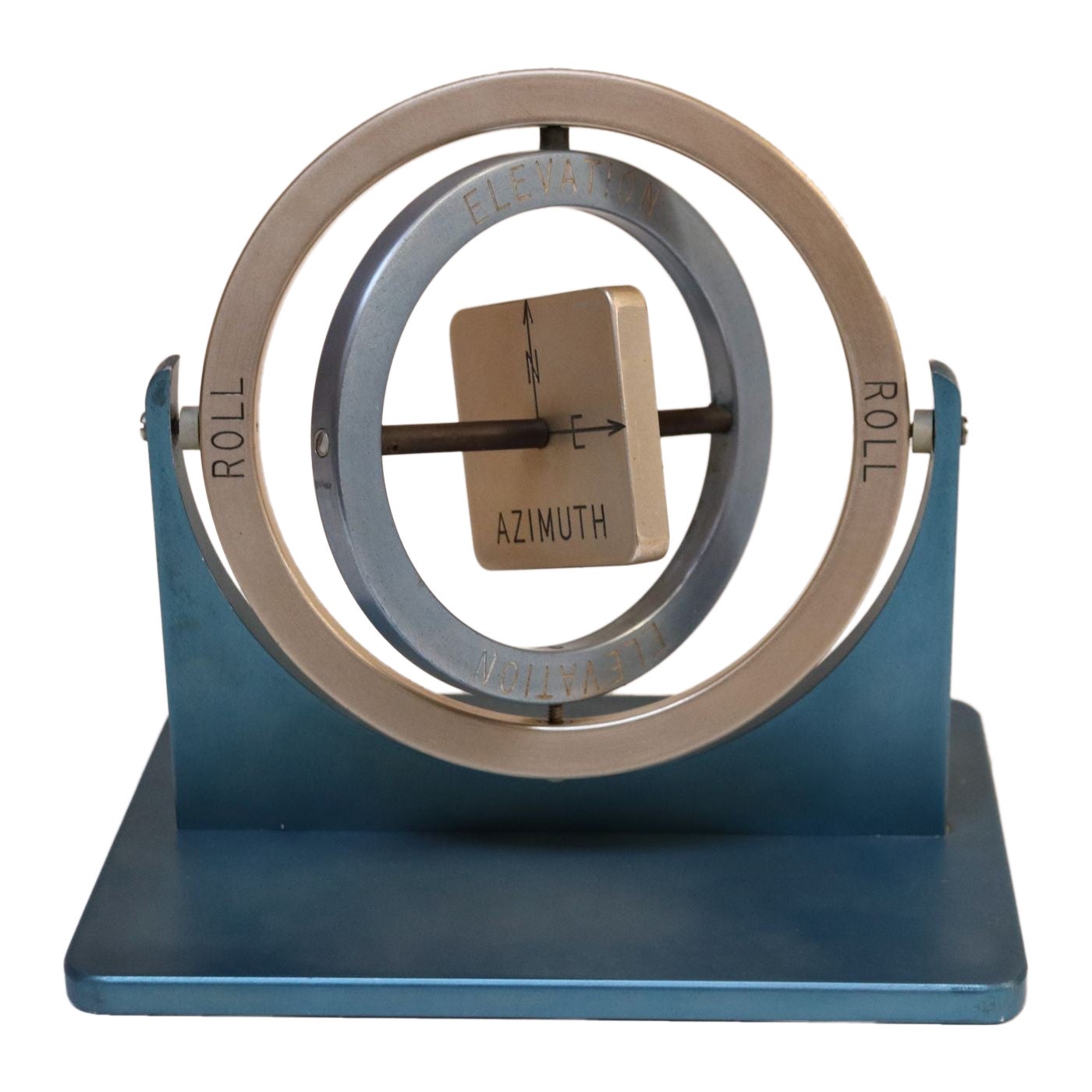
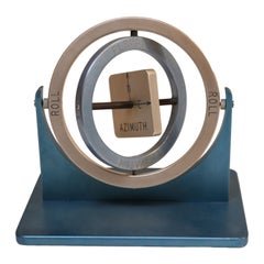
Mid-Twentieth Century Aluminum Gyroscope Compass Scientific Tool
Located in Brooklyn, NY
Manually manipulated blue and silver anodized aluminum gyroscope composed of two gimbal rings, a central rotor, spine axle, frame and base (ca. late 1940s/early 1950s, USA).
The rotor in this case is a cube representing azimuth - the angle between North, measured clockwise around the observer's horizon, and a celestial body (sun, moon). Hence, the presence of both "N" and "E" compass directions on the rotor.
The gimbals denote "elevation" and "roll."
Interesting piece which serves as both scientific tool and modernist decorative object...
Category
Vintage 1950s American Mid-Century Modern Scientific Instruments
Materials
Aluminum
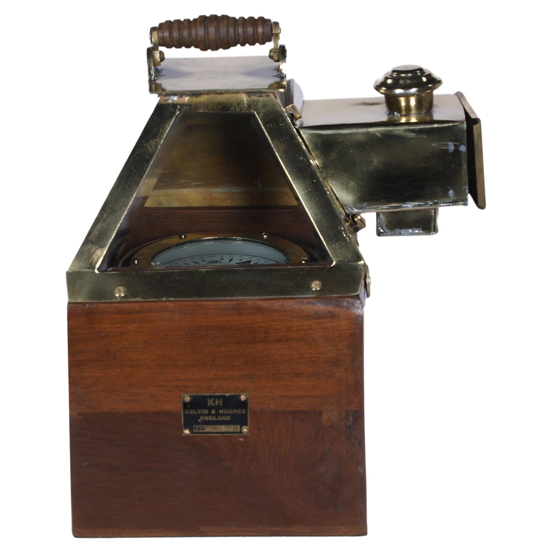
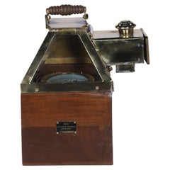
Rare Kelvin and Hughes Teak and Brass Navigational Nautical Binnacle Compass
Located in Nantucket, MA
A rare ship's binnacle brass compass in working order housed in a teak and brass case. It includes the kerosene side light to illuminate the compass at night. By Kelvin and Hughes,...
Category
Mid-20th Century Mid-Century Modern Nautical Objects
Materials
Brass
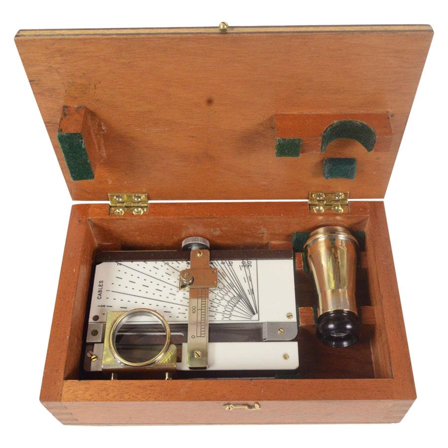
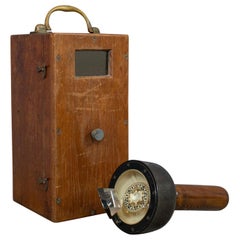
1960s Nautical Rangefinder Signed Kelvin Hughes Antique Marine Navigation Tool
Located in Milan, IT
Nautical rangefinder signed Made in Great Britan by Kelvin Hughes a divison of Smiths Industries Limited made in the 1960s, complete with original mahogany box. AP 498 Stuats Marine Distance Meter very good working condition. Box size cm 21 x 13 H 6. It is an ancient nautical instrument used to measure...
Category
Vintage 1960s British Nautical Objects
Materials
Metal

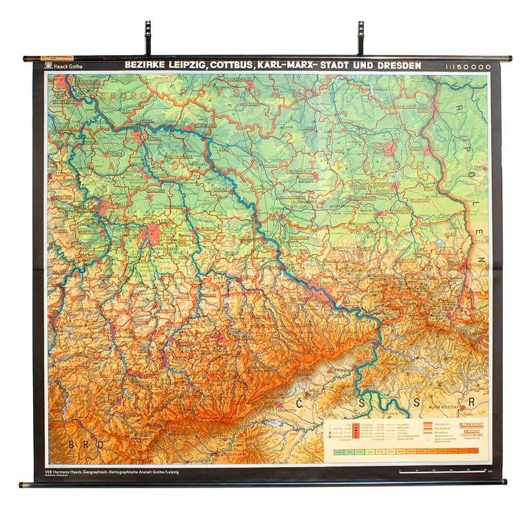
East German Map
By VEB Hermann Haack
Located in Baltimore, MD
A brilliantly colourful map of the Leipzig, Karl Marx Stadt and Dresden area in the former German Democratic Republic by VEB Hermann Haack of Gotha.
Category
Vintage 1970s German Maps

$295 Sale Price
25% Off
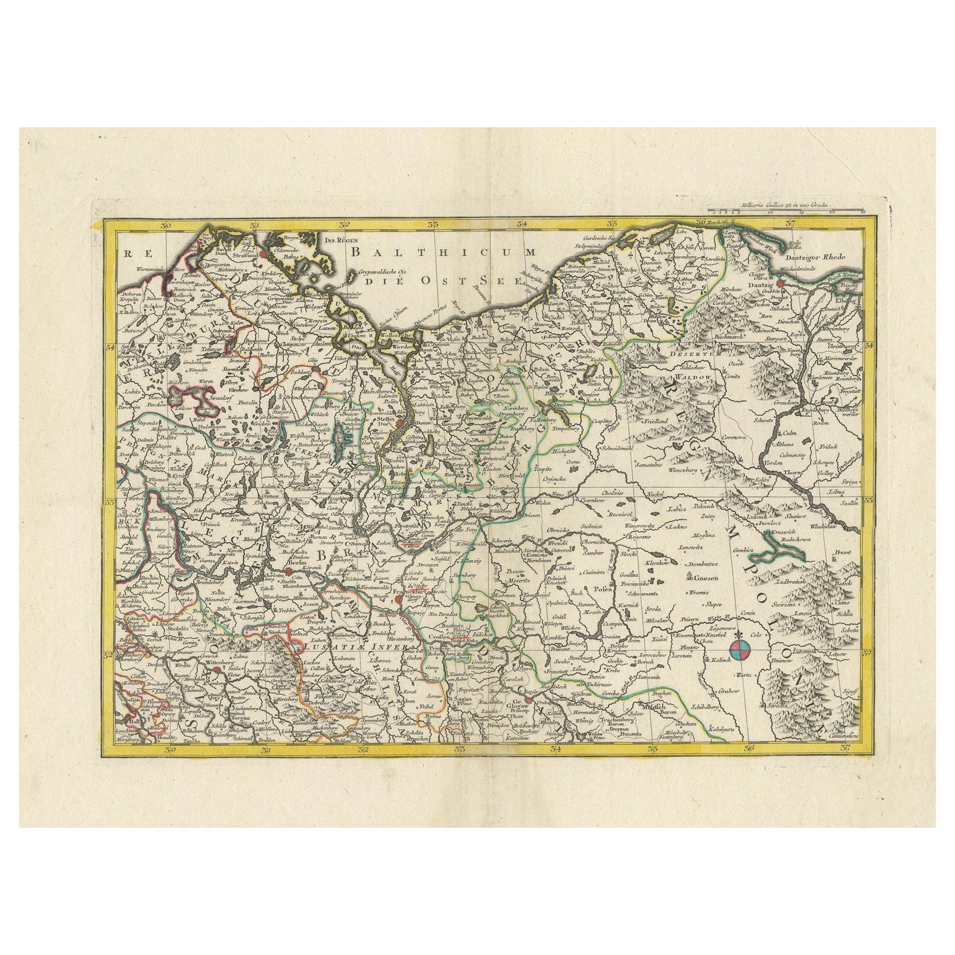
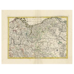
A Detailed Mid-18th Century German Map of North-Central Europe
Located in Langweer, NL
This is an antique, hand-colored engraved map of north-central Europe (centered on the region of Brandenburg, Pomerania, and portions of what is now northern Poland) that was produce...
Category
Antique 1730s Maps
Materials
Paper
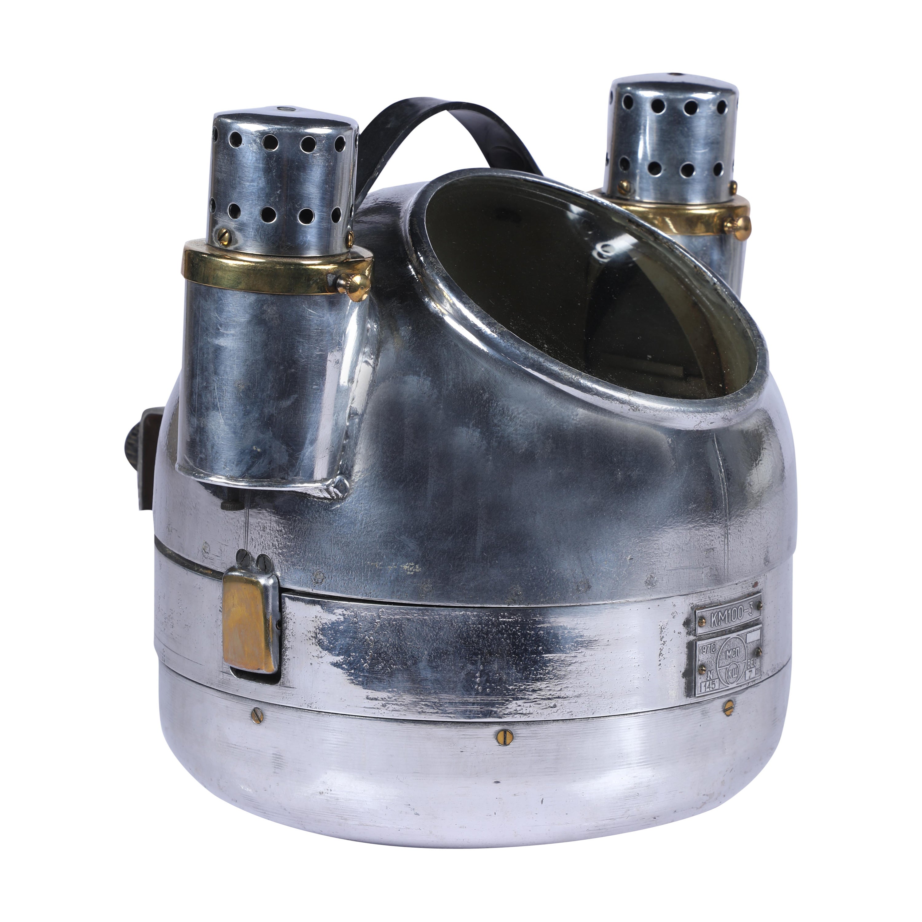
Mid Century Chrome Binnacle Compass with Side Oil Lights
Located in Nantucket, MA
From a decommissioned lifeboat, a chrome binnacle compass in working order. It has two oil side lights for use at night. Top comes off. Dated 1978. Came off of a Russian lifeboat.
T...
Category
Mid-20th Century Mid-Century Modern Nautical Objects
Materials
Brass, Chrome
Recently Viewed
View AllMore Ways To Browse
Vintage Glass Map
Georg Jensen Spoon Fork
Gilded French Coffee Table
Gilt Iron Glass Coffee Table
Heriz Rug Coarse
Hexagonal Marble Table
Horses Glass Table
India Victorian Print
Indonesian Wood Coffee Table
Italian Lounge Bed
Italian Marquetry Side Table
Italian Renaissance Side Table
Italian Renaissance Walnut Chairs
Italian Stool 19th Century
Japanese Shop Sign
Knoll Round Table
Kurdish Bijar
Laminate Trolley