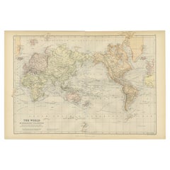
Map of the World on Comparative Projections, Early 1900s
View Similar Items


1 of 10
Map of the World on Comparative Projections, Early 1900s
About the Item
- Dimensions:Height: 60 in (152.4 cm)Width: 54 in (137.16 cm)Depth: 2 in (5.08 cm)
- Materials and Techniques:
- Period:
- Date of Manufacture:1900s
- Condition:Wear consistent with age and use. minor scaling on lower section in brown.
- Seller Location:Madison, WI
- Reference Number:1stDibs: LU92356353453
You May Also Like
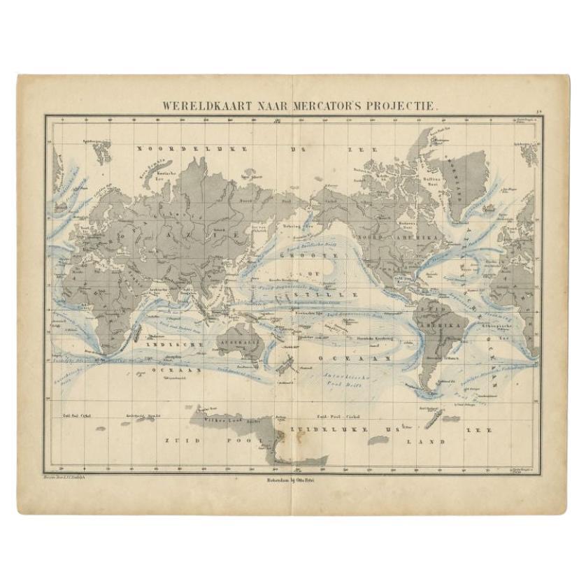
- Antique Map of the World on Mercator's Projection, 1788Located in Langweer, NLAntique map titled 'Kaart van de Geheele Wereld (..)'. Uncommon small world map on Mercator's projection. Nice detail of the islands throughout the wor...Category
Antique Late 18th Century Maps
MaterialsPaper
 $656 Sale Price20% Off
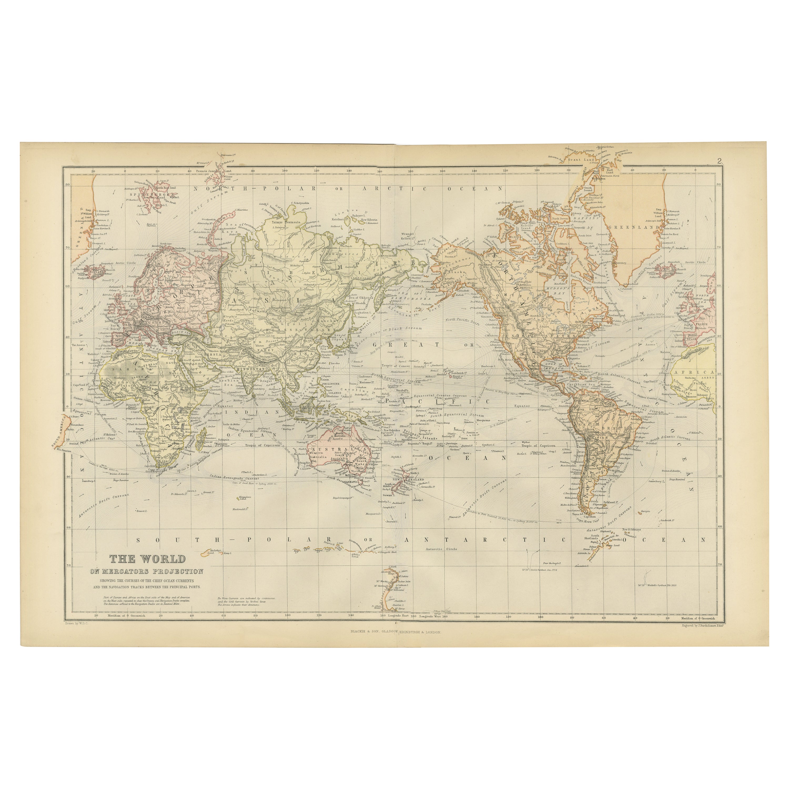
 - Colorful Detailed Antique Map of The World on Mercators Projection, 1882Located in Langweer, NLThe 'World of Mercator's Projection' is a map with a stunning portrayal of global geography and maritime navigation from an era steeped in exploration and discovery. With meticulous detail and precision, this map showcases the world's continents on Mercator's famous projection, capturing the essence of a bygone era's cartographic expertise. Illustrating the courses of chief ocean currents and key navigation tracks between major ports, this map doesn't just depict landmasses but also reveals the vital maritime routes that shaped global trade and exploration. Each line and curve represents the pathways of ancient voyages and modern seafaring, connecting distant shores and continents. Crafted with the precision characteristic of Mercator's projection, this map offers a unique perspective on how sailors and explorers navigated the world's vast oceans. It stands as a testament to the artistry and scientific ingenuity of cartographers of that time, showcasing their commitment to accurate representation amid the challenges of mapping a spherical world on a flat surface. This map isn't just a historical document; it's a captivating piece of cartographic art...Category
Antique 1880s Maps
MaterialsPaper
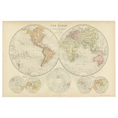
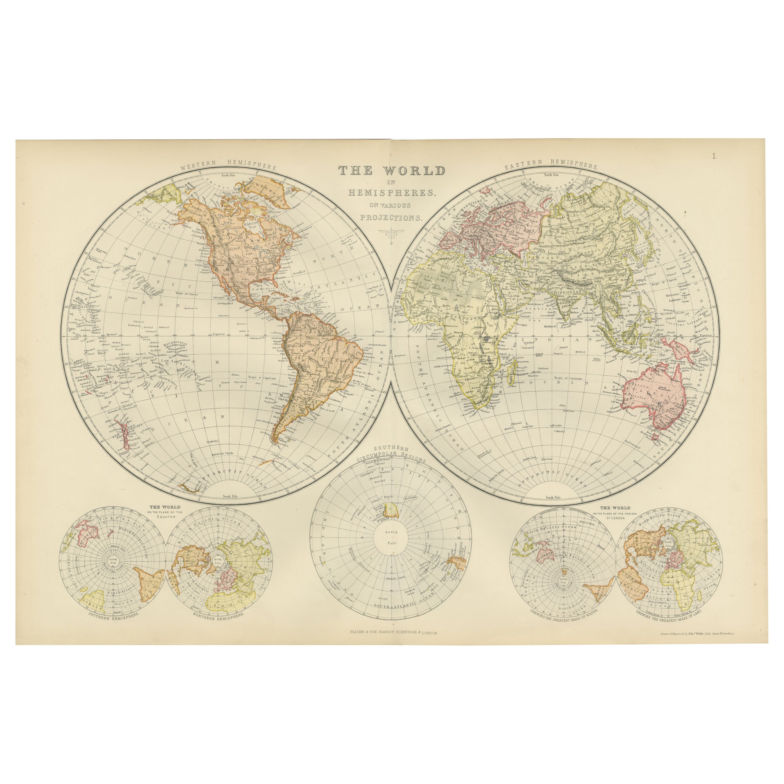
- Antique Map of The World in Hemispheres on Various Projections, 1882Located in Langweer, NLThis stunning 1882 'Antique Map of The World in Hemispheres' showcases an exquisite blend of cartographic precision and artistic elegance. Crafted under the watchful eye of W.G. Blac...Category
Antique 1880s Maps
MaterialsPaper
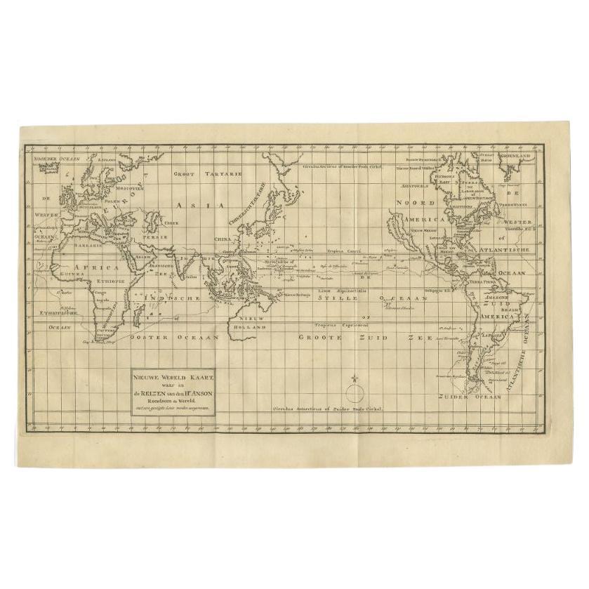
- Antique Map of the World on Mercator Projection by Anson, 1749Located in Langweer, NLAntique map titled 'Nieuwe Wereld Kaart waar in de Reizen van den Hr. Anson rondsom de Wereld'. Original antique map of the world on Mercator'...Category
Antique 18th Century Maps
MaterialsPaper
 $428 Sale Price20% Off
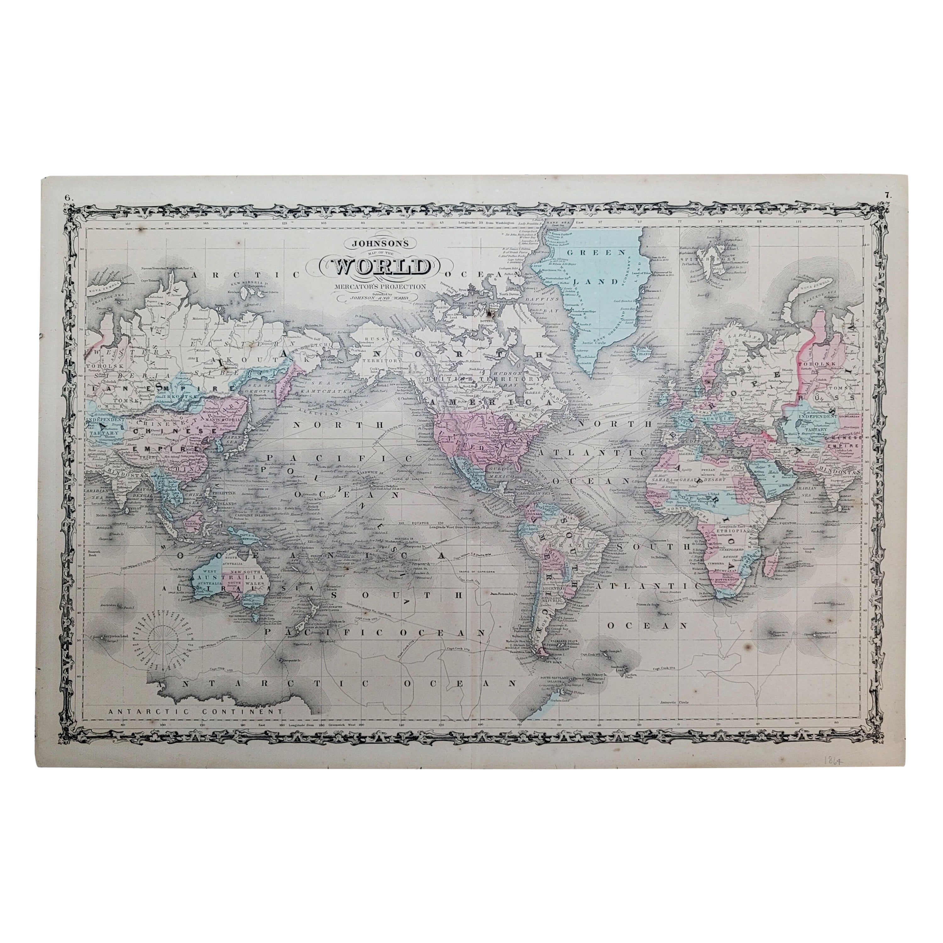
 - 1864 Johnson's Map of the World on Mercator's Projection, Ric.B009Located in Norton, MAAn 1864 Johnson's map of the World on Mercator's Projection Ric.b009 About this Item "This antique map came from Johnson's New Illustrated (Steel Plate) Family Atlas, publ...Category
Antique 19th Century Dutch Maps
MaterialsPaper
- Antique Map of the World, Mercator Projection, by Wyld, '1845'Located in Langweer, NLAntique map titled 'The World'. Original antique world map, on Mercator's projection. This map originates from 'An Atlas of the World, Compr...Category
Antique Mid-19th Century Maps
MaterialsPaper
 $306 Sale Price20% Off