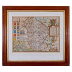
Antique Map of Lincoln
View Similar Items

1 of 4
Antique Map of Lincoln
About the Item
- Dimensions:Height: 25.6 in (65 cm)Width: 28.35 in (72 cm)Depth: 0.04 in (1 mm)
- Materials and Techniques:
- Period:
- Date of Manufacture:circa 1610
- Condition:Wear consistent with age and use.
- Seller Location:Lincoln, GB
- Reference Number:1stDibs: LU3794318097112
Authenticity Guarantee
In the unlikely event there’s an issue with an item’s authenticity, contact us within 1 year for a full refund. DetailsMoney-Back Guarantee
If your item is not as described, is damaged in transit, or does not arrive, contact us within 7 days for a full refund. Details24-Hour Cancellation
You have a 24-hour grace period in which to reconsider your purchase, with no questions asked.Vetted Professional Sellers
Our world-class sellers must adhere to strict standards for service and quality, maintaining the integrity of our listings.Price-Match Guarantee
If you find that a seller listed the same item for a lower price elsewhere, we’ll match it.Trusted Global Delivery
Our best-in-class carrier network provides specialized shipping options worldwide, including custom delivery.You May Also Like
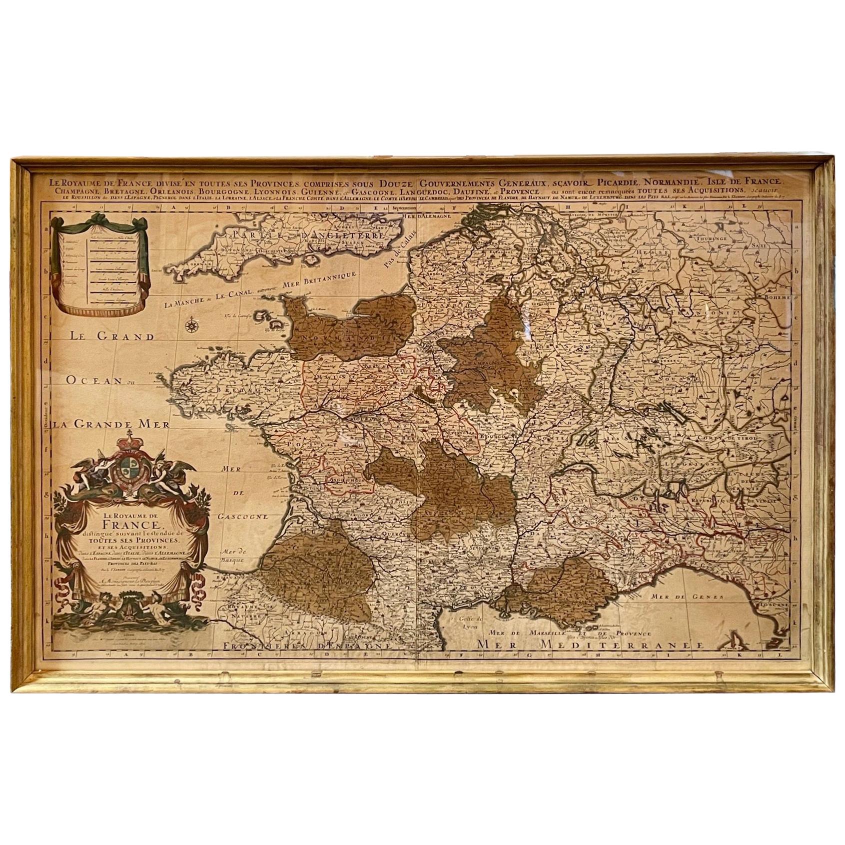
Antique Map of France
Located in Dallas, TX
Nice antique map of France in wood frame. This would make a great gift for a collector. A wonderful accessory!
Category
Early 20th Century Decorative Art
Materials
Glass, Wood, Paper

$1,760
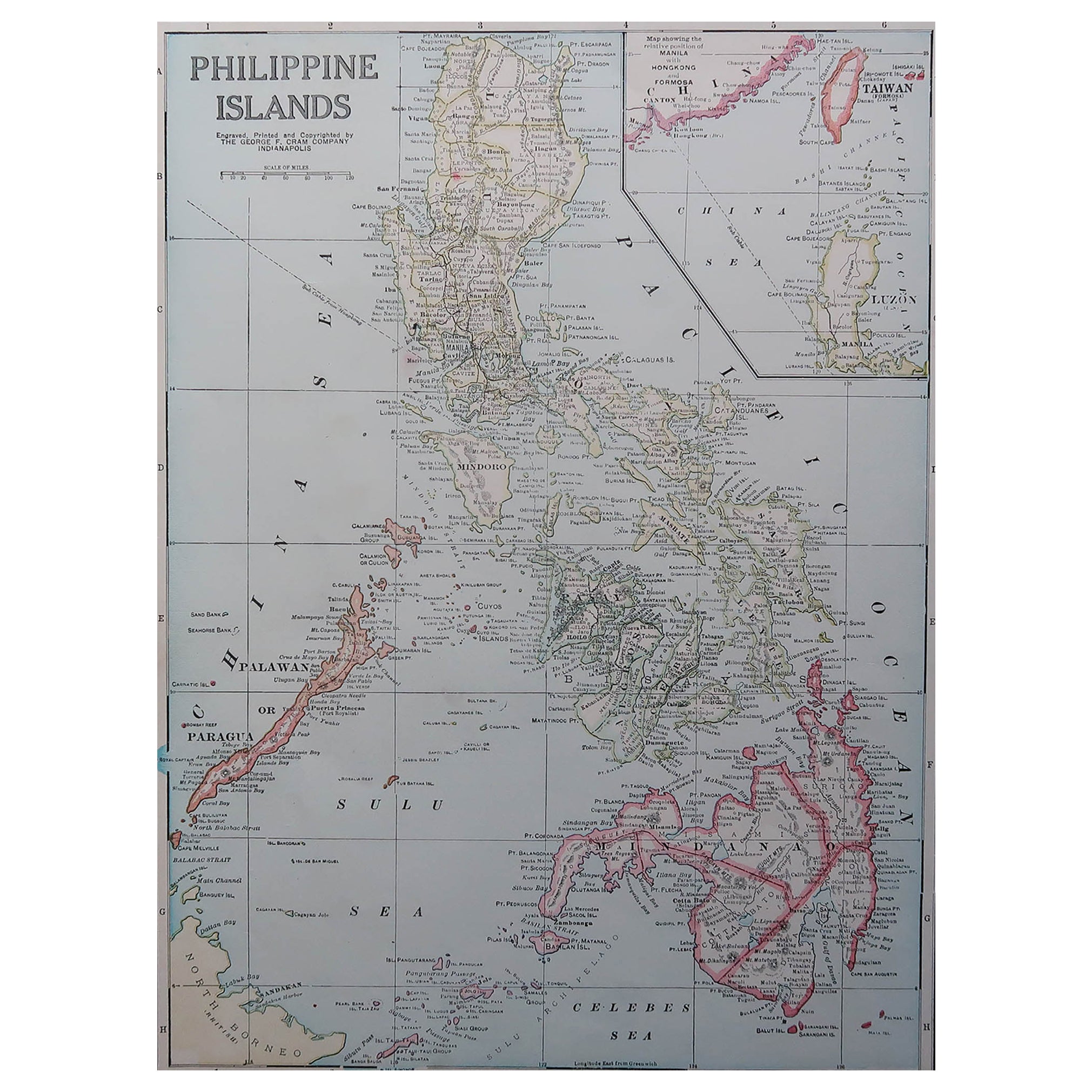
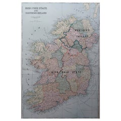
Large Original Antique Map of Ireland. C.1900
Located in St Annes, Lancashire
Fabulous map of Ireland
Original color.
Engraved and printed by the George F. Cram Company, Indianapolis.
Published, C.1900.
Unframed.
Free shipping.
Category
Antique 1890s American Maps
Materials
Paper
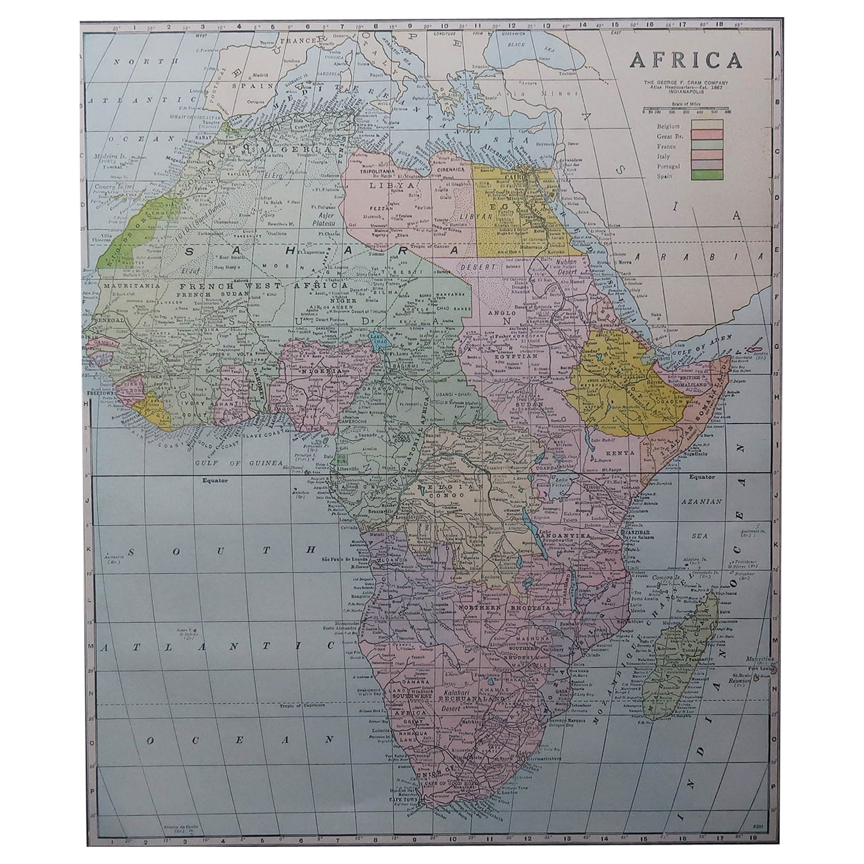
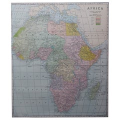
Large Original Antique Map of Africa. C.1900
Located in St Annes, Lancashire
Fabulous map of Africa
Original color.
Engraved and printed by the George F. Cram Company, Indianapolis.
Published, C.1900.
Unframed.
Free shipping.
Category
Antique 1890s American Maps
Materials
Paper
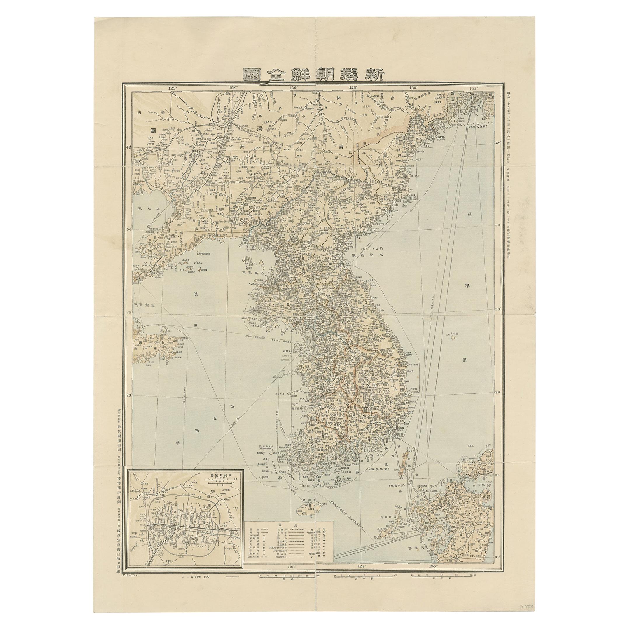
Antique Map of Korea by Kozaki, 1903
Located in Langweer, NL
Old map of Korea by S. Kozaki. Restored and mounted.
Category
20th Century Maps
Materials
Paper

$881 Sale Price
20% Off
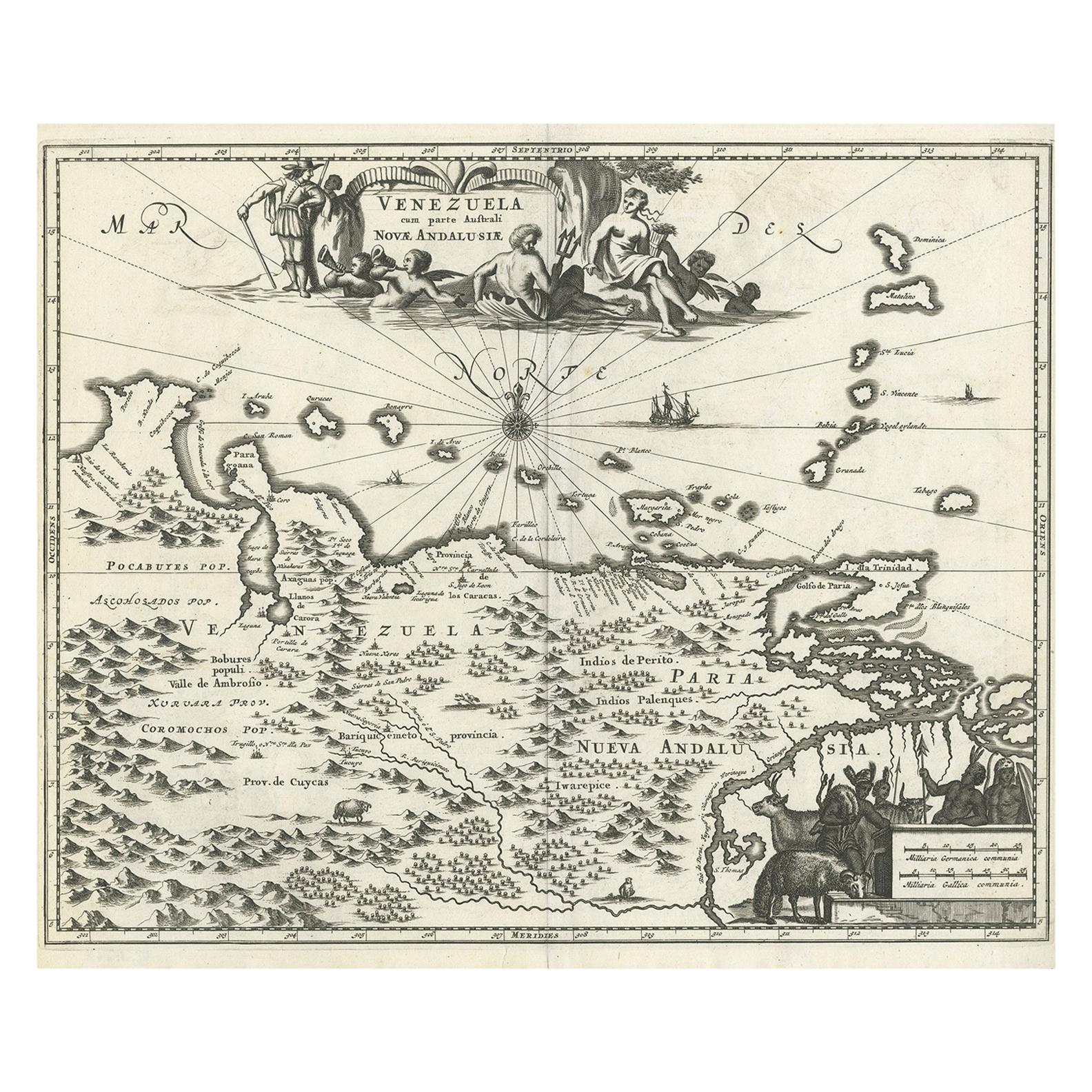
Antique Map of Venezuela by Montanus, 1671
By Arnoldus Montanus
Located in Langweer, NL
Antique map titled 'Venezuela cum parte Australi Novae Andalusiae'. The map extends from Coquibocoa to the Orinoque River, centered on Bariquicemento and Cape de Curiacao. Large cart...
Category
Antique Mid-17th Century English Maps
Materials
Paper

$558 Sale Price
20% Off
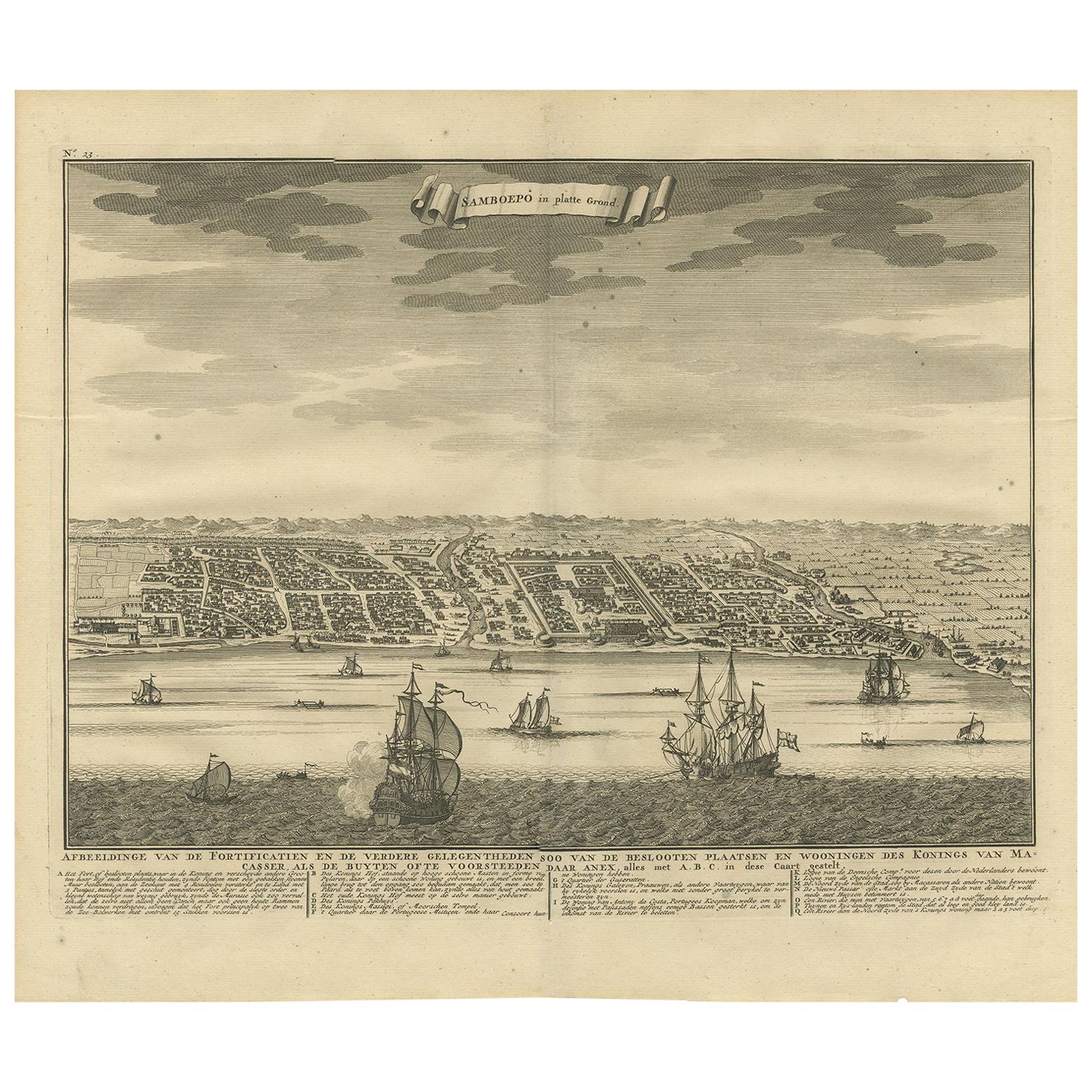
Antique Map of Samboepo by Valentijn, 1726
By F. Valentijn
Located in Langweer, NL
Antique map titled 'Samboepo in 't Verschiet'. Decorative panoramic view of the town of Samboupo on the island of Celebes (Sulawesi) in today's Indonesia. Dutch (V.O.C.) sailing ship...
Category
Antique Early 18th Century Dutch Prints
Materials
Paper
$372 Sale Price
20% Off