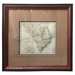
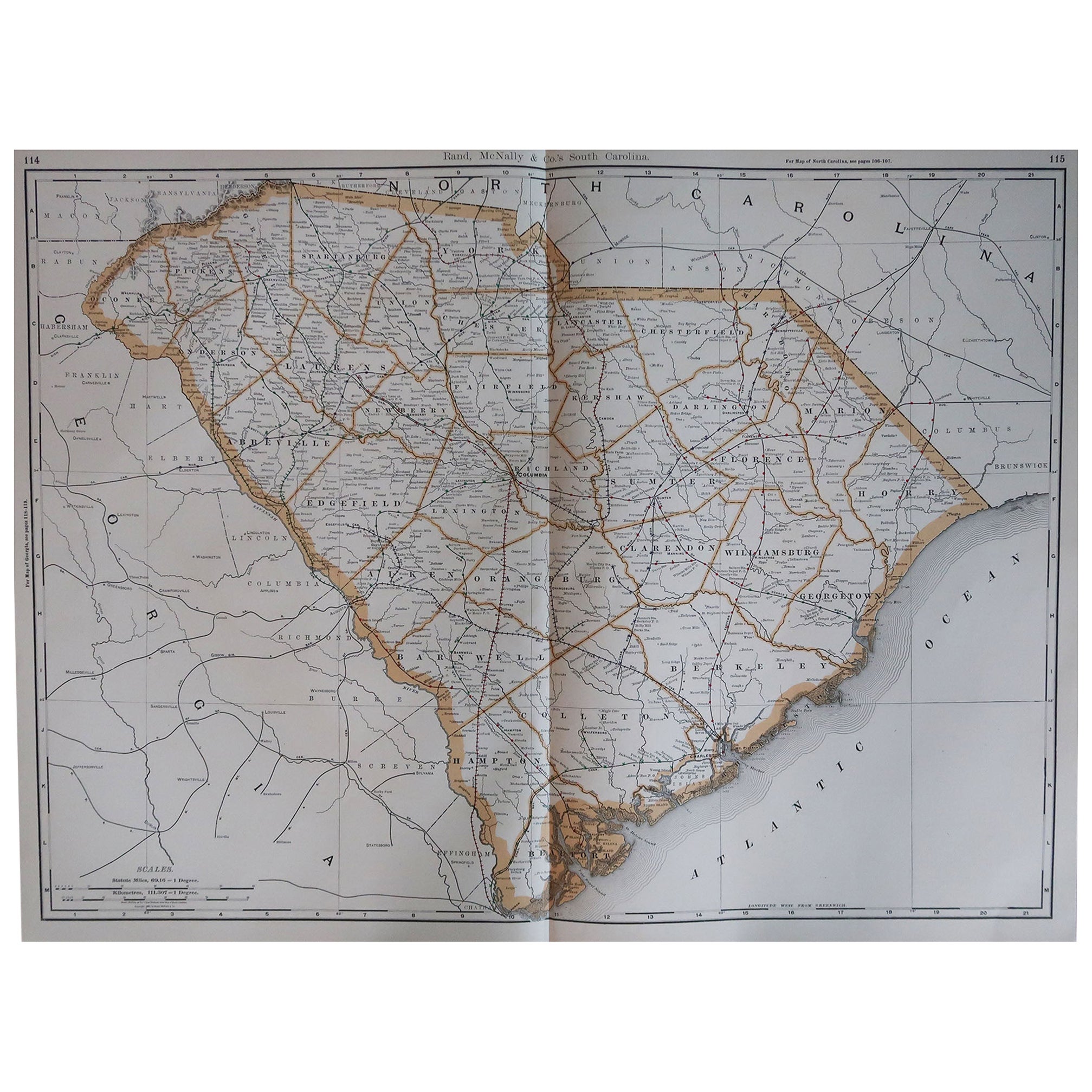
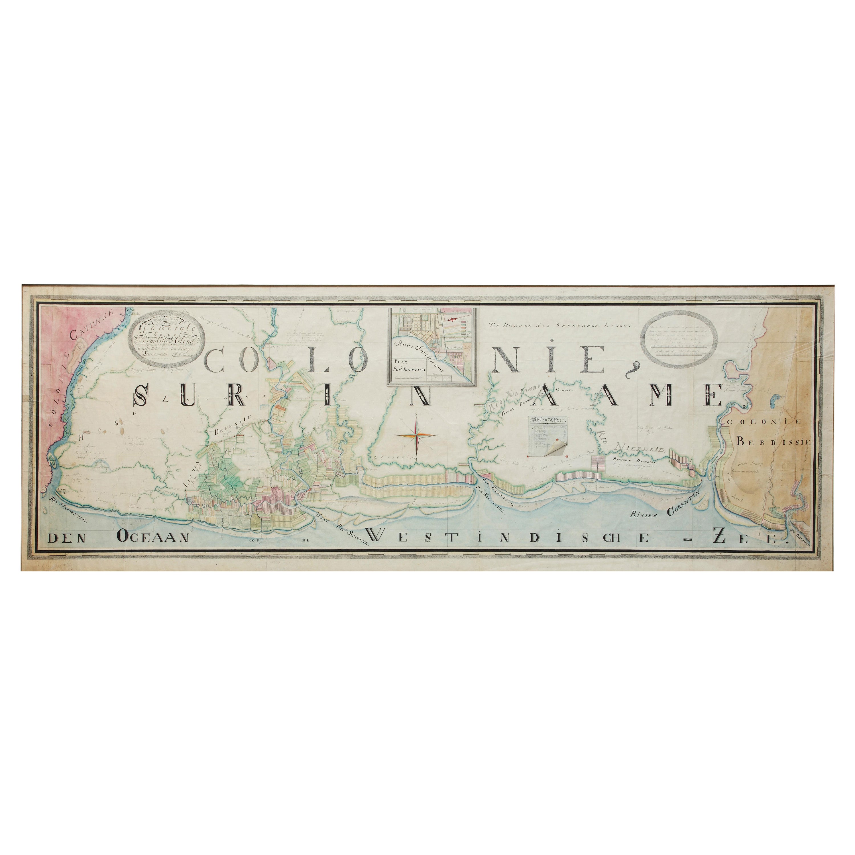
Engraved Map of South Carolina from John Payne's Book, circa 1799
View Similar Items

1 of 7
Engraved Map of South Carolina from John Payne's Book, circa 1799
About the Item
- Creator:John Payne (Artist)
- Dimensions:Height: 16 in (40.64 cm)Width: 17 in (43.18 cm)Depth: 0.75 in (1.91 cm)
- Materials and Techniques:
- Place of Origin:
- Period:1790-1799
- Date of Manufacture:circa 1799
- Condition:Wear consistent with age and use.
- Seller Location:Atlanta, GA
- Reference Number:Seller: 17-ART-0221stDibs: LU827218536552
You May Also Like
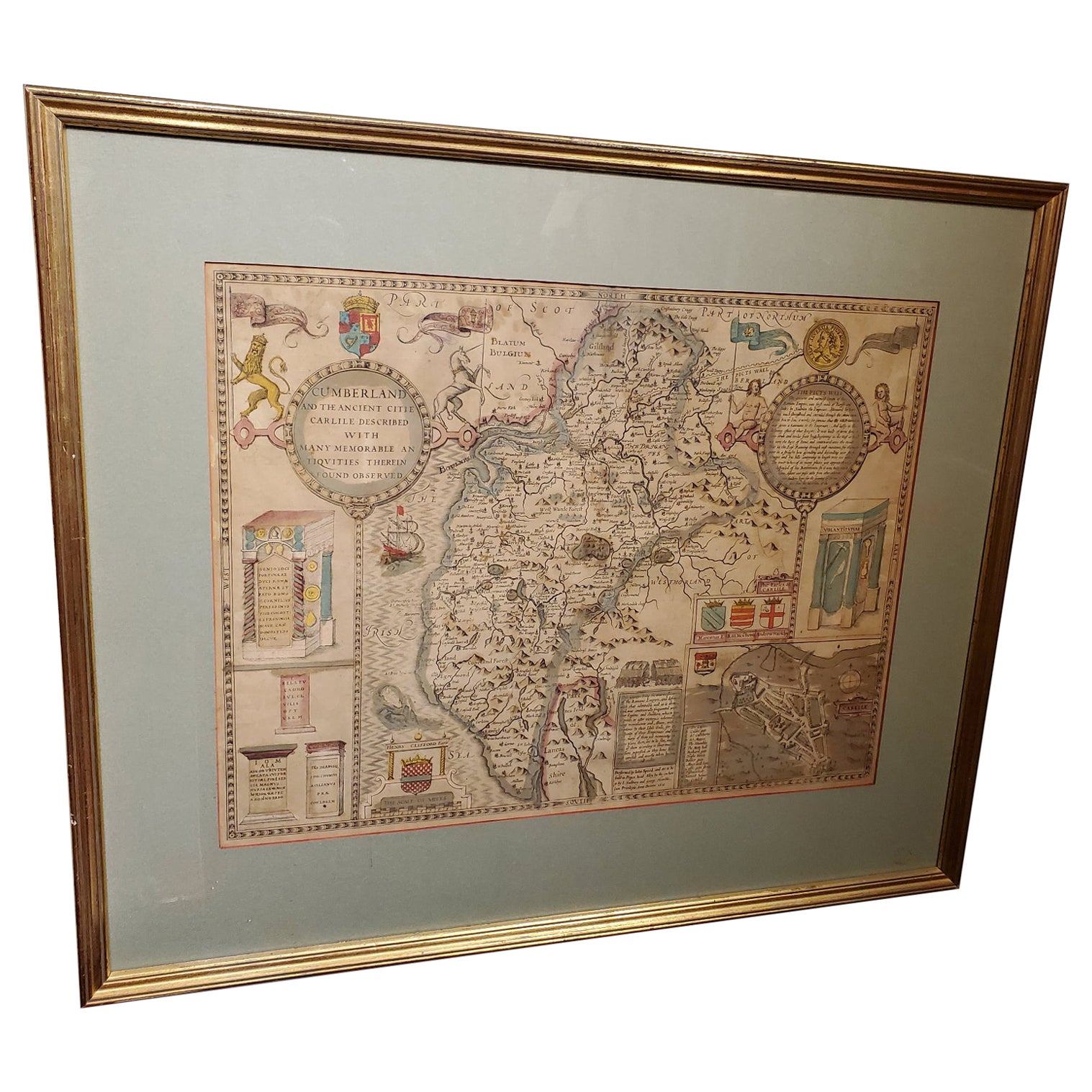
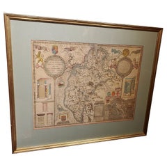
- 17th Century Map of Cumberland County in Northwest England Printed by John SpeedBy John SpeedLocated in Middleburg, VARare extremely early map of the county of Cumberland in the Northwest of England. Printed by John Speed, hand colored. Excellent condition. English. Dated...Category
Antique Early 17th Century English Maps
MaterialsPaper
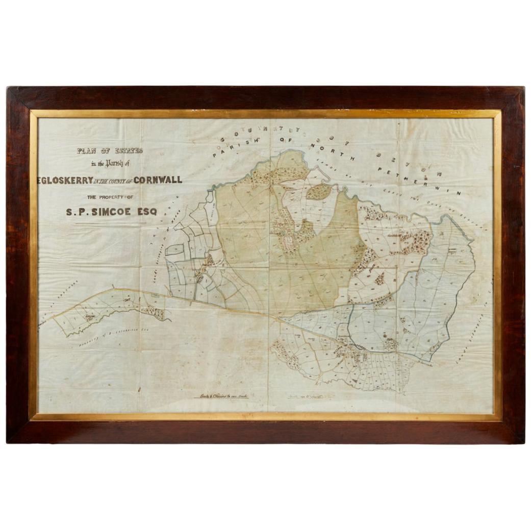
- Antique Framed Pen and Ink on Fabric Map of Cornwall from Early 19th CenturyLocated in Los Angeles, CAEarly 19th-century English pen-and-ink fabric map of Cornwall. With beautiful hand-drawn details and faded sepia tones, this framed piece turns history into art. England, circa 181...Category
Antique Early 19th Century English Drawings
MaterialsFabric, Walnut
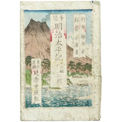
- Antique Japanese History Book Meiji Era, circa 1878Located in Barcelona, BarcelonaAntique Japanese History book Meiji era, circa 1878 Woodblock print book Book dimensions: 182 mm x 121 mm There are damages because it is antique i...Category
Antique 1870s Japanese Meiji Drawings
MaterialsPaper
- Antique Japanese History Book Meji Era, circa 1827Located in Barcelona, BarcelonaAntique Japanese epic novel book Edo period, circa 1827 Woodblock print book Book dimensions: 228 mm x 159 mm. There are damages because it...Category
Antique 1820s Edo Books
MaterialsPaper

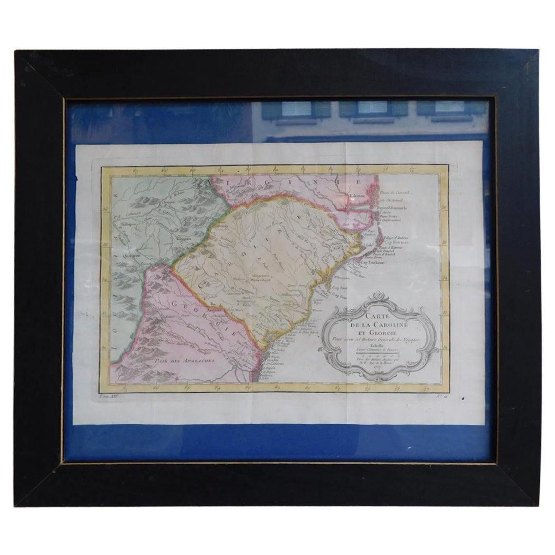
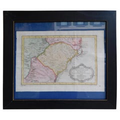
- French Framed Copper Engraved Hand Colored Map of Carolina & Georgia, Circa 1757Located in Hollywood, SCFrench copper engraved hand colored map of Carolina & Georgia matted under glass with a painted frame, mid-18th centuryCategory
Antique 1750s French Louis XV Maps
MaterialsPaper, Paint, Wood, Glass
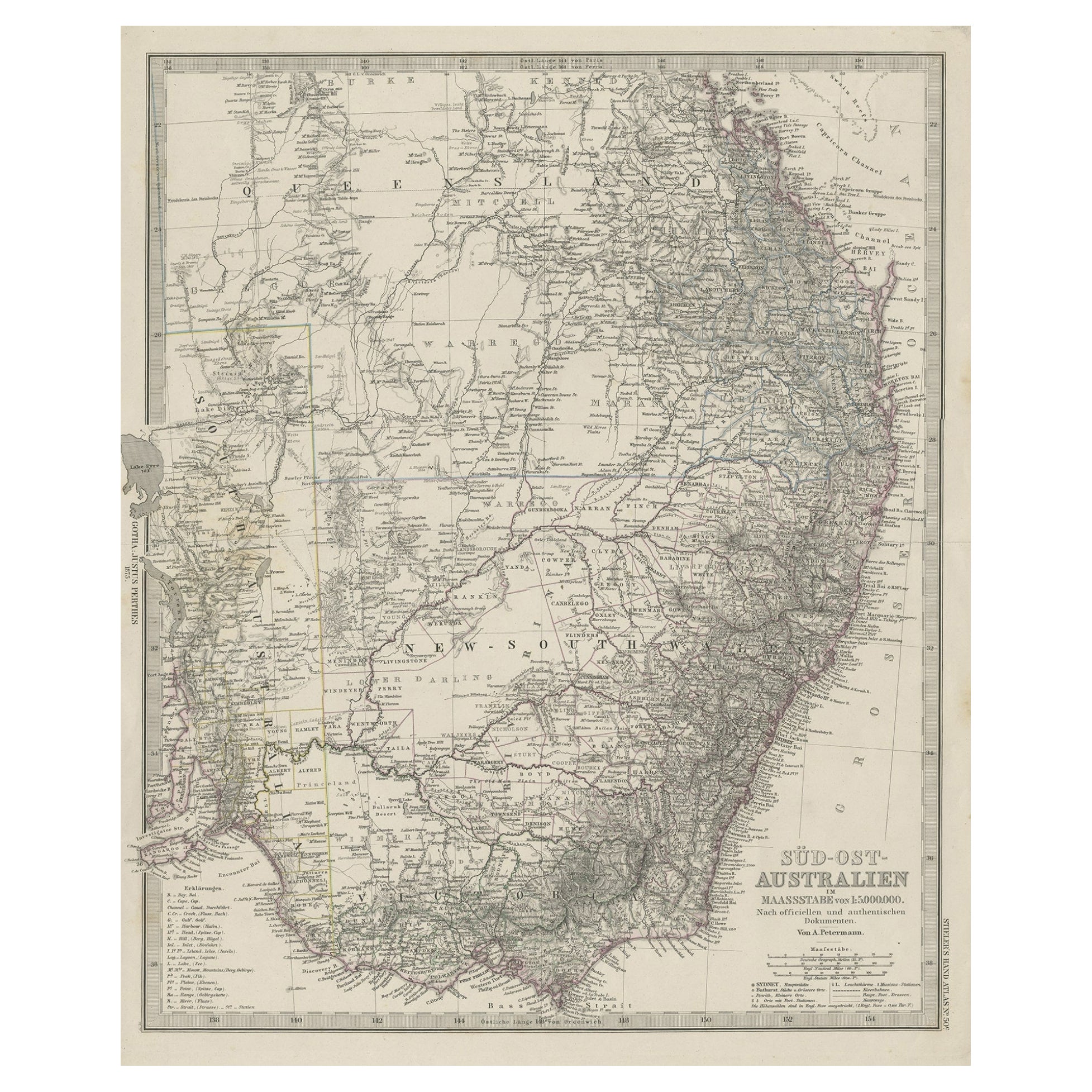
- Antique Engraved Map of South East Australia from a German Atlas, 1848Located in Langweer, NLAntique map Australia titled 'Süd-Ost Australien'. Detailed map of South East Australia. Orginates from 'Stieler's Hand Atlas', published in Ge...Category
Antique 19th Century Maps
MaterialsPaper
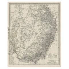 $70 Sale Price20% Off

Recently Viewed
View AllMore Ways To Browse
Carolina Map
Antique South Carolina Map
Antique Map South Carolina
Antique Maps South Carolina
Antique South Carolina Maps
Antique Maps Of South Carolina
South Carolina Maps
Map Of South Carolina
South Carolina Map
Russian Collectable
Office World Map
Sea Collectables
Antique Curiosities Prints
Antique Appreciation
United States Map
Antique Collectible Plate
Prints Of Antique Maps
Antique Over A Hundred Years Old