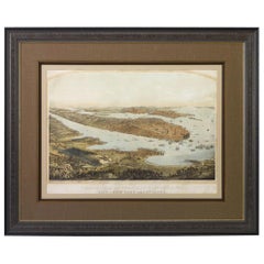
1854 "Panorama of Manhattan Island, City of New York and Environs" Antique Map
View Similar Items


Want more images or videos?
Request additional images or videos from the seller
1 of 5
1854 "Panorama of Manhattan Island, City of New York and Environs" Antique Map
About the Item
- Dimensions:Height: 45 in (114.3 cm)Width: 56 in (142.24 cm)Depth: 2 in (5.08 cm)
- Materials and Techniques:
- Place of Origin:
- Period:
- Date of Manufacture:1854
- Condition:Wear consistent with age and use. Map is in good condition. Paper is healthy, save one repaired tear on left side and one repaired tear on right side margin into print. Both tears have been stabilized. No foxing marks or stains. Color is original to print and has not faded.
- Seller Location:Colorado Springs, CO
- Reference Number:Seller: M2081stDibs: LU909716960502
About the Seller
4.9
Platinum Seller
These expertly vetted sellers are 1stDibs' most experienced sellers and are rated highest by our customers.
Established in 2010
1stDibs seller since 2011
402 sales on 1stDibs
More From This SellerView All
- Antique Map of Paris, "Carte Routiere des Environs de Paris" 1841Located in Colorado Springs, COThis beautiful hand-colored road map of Paris was published in 1841. The map shows Paris and the surrounding area in a folding pocket map. Organized and detailed for travelers, this ...Category
Antique 1840s French Maps
MaterialsPaper
- 1854 Map of Massachusetts, Connecticut and Rhode Island, Antique Wall MapLocated in Colorado Springs, COThis striking wall map was published in 1854 by Ensign, Bridgman & Fanning and has both full original hand-coloring and original hardware. This impression is both informative and highly decorative. The states are divided into counties, outlined in red, green, and black, and subdivided into towns. Roads, canals, and railroad lines are prominently depicted, although they are not all labeled. The mapmakers also marked lighthouses, banks, churches, and prominent buildings, with a key at right. The map is an informative and comprehensive overview of the infrastructural development of New England prior to the Civil War. Physical geographies depicted include elevation, conveyed with hachure marks, rivers and lakes. The impression features an inset map of Boston...Category
Antique 19th Century American Maps
MaterialsPaper
- 1840 "New Map of the City of New York With Part of Brooklyn & Williamsburg"Located in Colorado Springs, COPresented is a hand-colored, engraved folding map titled "New Map of the City of New York With Part of Brooklyn & Williamsburg" by J. Calvin Smith. The map was issued bound in the bo...Category
Antique 1840s American Maps
MaterialsPaper
- 1855 "New-York City & County Map" by Charles MagnusBy Charles MagnusLocated in Colorado Springs, COThis is a beautiful hand-colored map titled “New York City & County Map with Vicinity entire Brooklyn, Williamsburgh, Jersey City &c.” The work was published in 1855 by Charles Magnu...Category
Antique 1850s American Maps
MaterialsPaper
- Civil War Panorama of the Seat of War by John Bachmann, Antique Print circa 1864Located in Colorado Springs, COPanorama of the seat of war. Bird's-eye View of Virginia, Maryland, Delaware and the District of Columbia. This third state of this fascinating bird's eye view of the northernmost p...Category
Antique 1860s American Maps
MaterialsPaper
- "San Francisco, Upper California” 1851 Antique Map of San FranciscoLocated in Colorado Springs, COThis is a pictorial lettersheet view of the city and harbor of San Francisco. This lithograph was printed on grey wove paper, across a double sheet, by famed lithographers Britton & ...Category
Antique 1850s American Prints
MaterialsPaper
 $1,200 Sale Price20% Off


You May Also Like
- Antique Map of Scotland With an Inset Map of the Shetland Islands, 1854Located in Langweer, NLStunning Map of Scotland that will look beautiful in any setting framed on the wall. Description: Large Antique map titled 'Scotland with its Islands, drawn from the Topographical surveys...Category
Antique 1850s Maps
MaterialsPaper
 $1,031 Sale Price24% Off
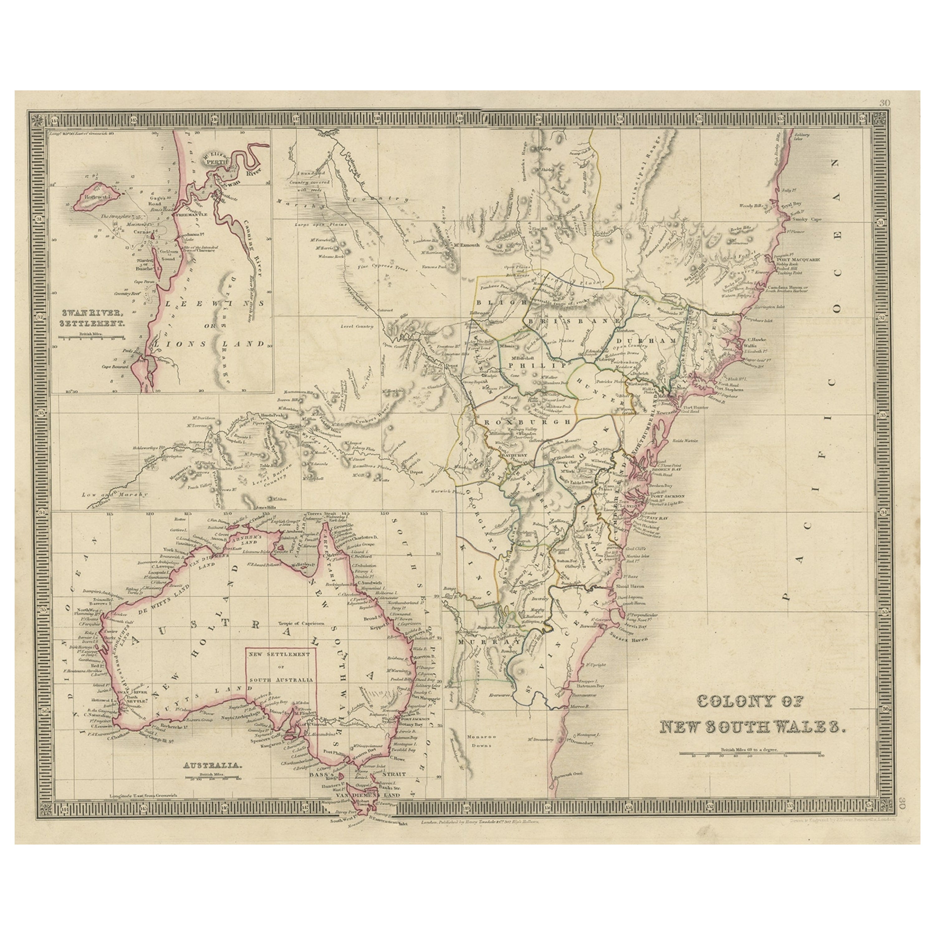
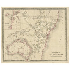
 - Antique Map of New South Wales with Inset Maps of Australia and Swan River, 1854Located in Langweer, NLAntique map titled 'Colony of New South Wales'. Map of New South Wales with inset maps of Australia and Swan River. Artists and Engravers: Drawn and engrave...Category
Antique 19th Century Maps
MaterialsPaper
- Antique Map of New York by Johnson '1872'Located in Langweer, NLAntique map titled 'Johnson's New York'. Original map showing New York, with an inset map of Long Island. This map originates from 'Johnson's New Il...Category
Antique Late 19th Century Maps
MaterialsPaper
- Antique Map of Asia by V. Levasseur, 1854By Victor LevasseurLocated in Langweer, NLAntique map titled 'Asie'. Map of the main Asian continent. The decorated border shows various images, as well as two blocks of statistical text on the continent, including populatio...Category
Antique Mid-19th Century Maps
MaterialsPaper
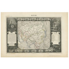 $219 Sale Price27% Off
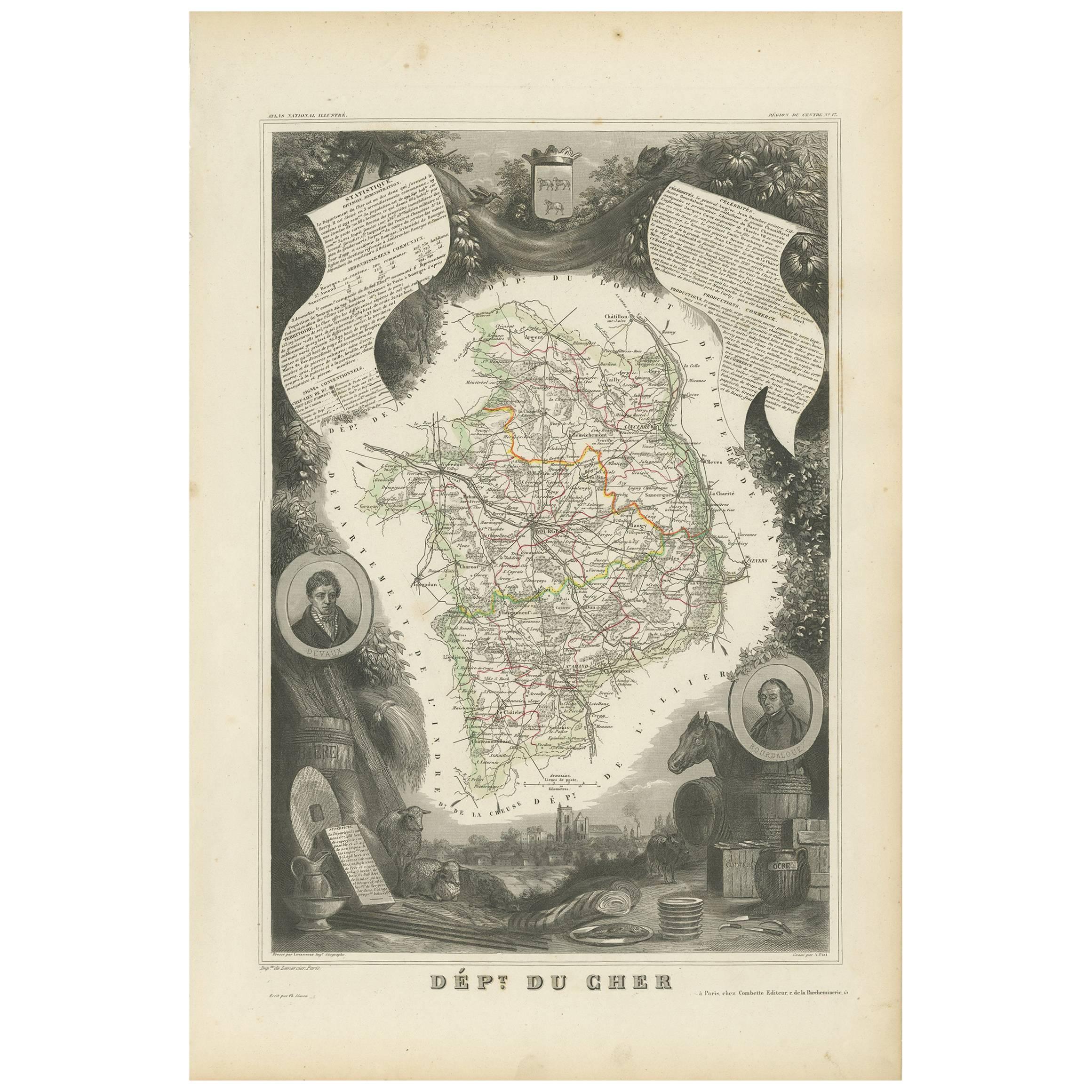
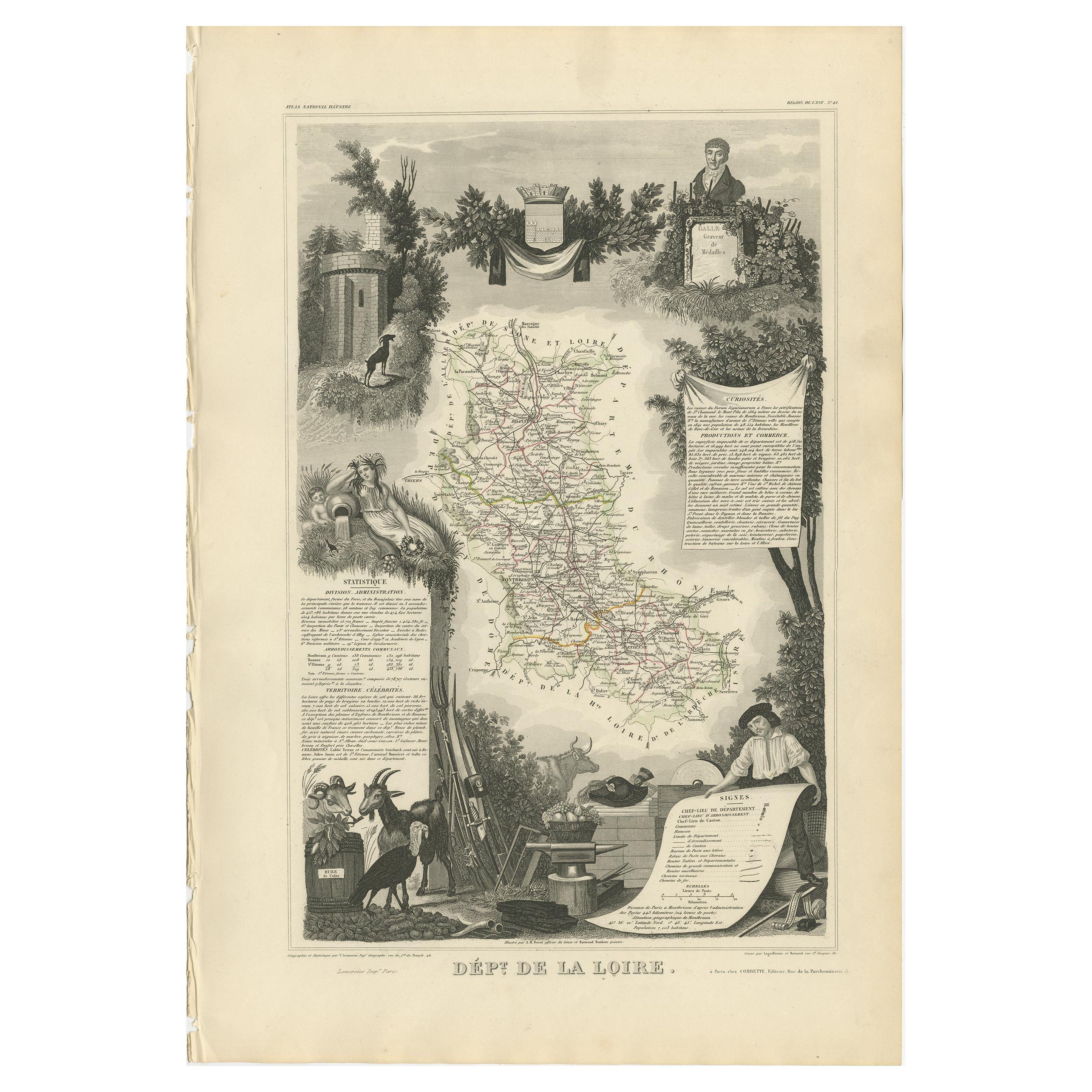
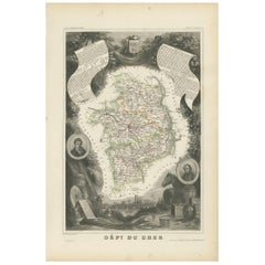
 - Antique Map of Cher in France, 1854By Victor LevasseurLocated in Langweer, NLAntique map titled 'Dépt. des Bses. Pyrénées'. Map of the French department of Basses Pyrenees, France. This department includes the Jurancon wine region, famous for its production d...Category
Antique Mid-19th Century Maps
MaterialsPaper
 $158 Sale Price20% Off
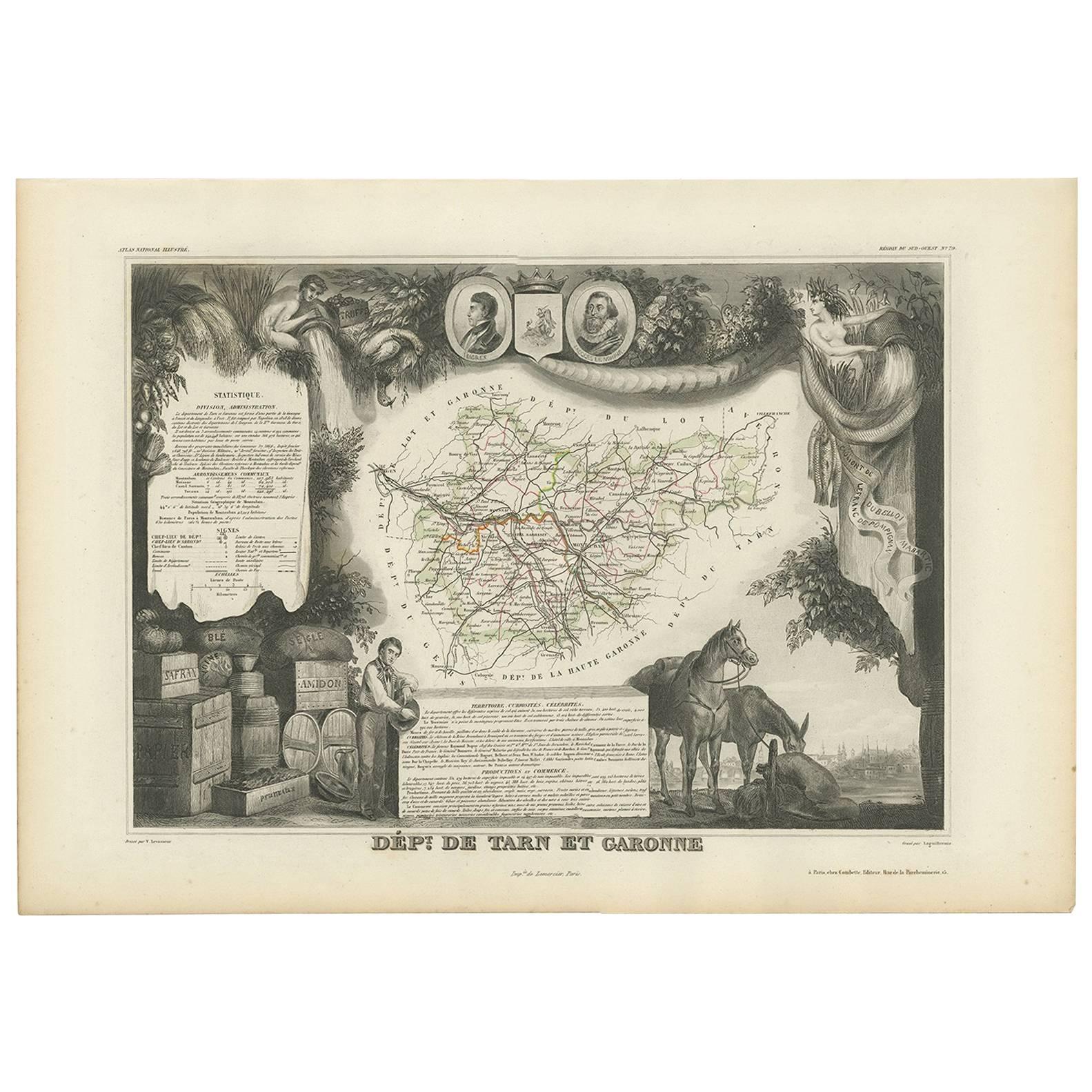
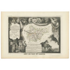
 - Antique Map of Tarn and Garonne in France, 1854By Victor LevasseurLocated in Langweer, NLAntique map titled 'Dépt. de Tarn et Garonne'. Map of the French department of Tarn et Garonne, France. This map is centered around the city of Moissac, which is known for its fine d...Category
Antique Mid-19th Century Maps
MaterialsPaper
 $158 Sale Price20% Off

Recently Viewed
View AllMore Ways To Browse
Packet Ship
Antique Clipper
New York City Map Lithograph
Linen Map London
Antique Map New Jersey
New Jersey Antique Map
Antique Maps Of New Jersey
Antique Map Of New Jersey
Brooklyn Map
Hamburg Harbor
Antique Map Brooklyn
Antique Map Of Brooklyn
Antique Brooklyn Map
Antique Map Of Jersey
Manhattan Antique Map
Antique Manhattan Map
Antique Map Manhattan
Antique Maps Manhattan