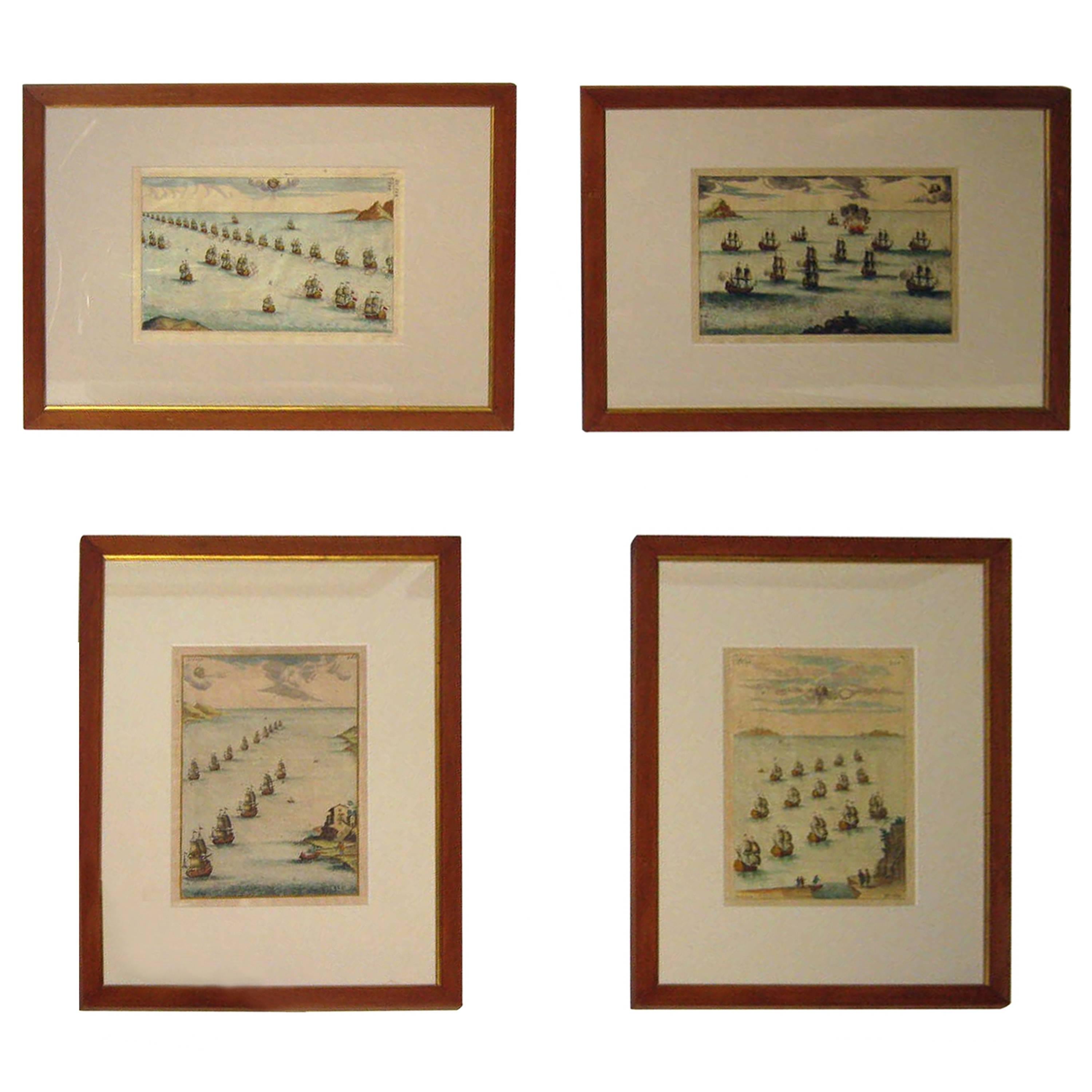
19th Century Hand Colored Lithograph by William Fairland
View Similar Items


1 of 10
19th Century Hand Colored Lithograph by William Fairland
About the Item
- Creator:William fairland (Artist)
- Dimensions:Height: 32.68 in (83 cm)Width: 24.41 in (62 cm)Length: 32.68 in (83 cm)
- Style:Victorian (Of the Period)
- Materials and Techniques:Paper,Other
- Place of Origin:
- Period:
- Date of Manufacture:1850
- Condition:
- Seller Location:Gloucestershire, GB
- Reference Number:1stDibs: LU5002116084891
You May Also Like
- 19th Century French Émile Deyrolle Anatomical Lithograph PosterLocated in London, GBÉmile Deyrolle Anatomical poster A wonderfully rare and decorative curio medical French (Paris) original lithograph on board anatomical poster in ...Category
Antique 1880s French Early Victorian Scientific Instruments
MaterialsPaper
- "Africa Vetus": a 17th Century Hand-Colored Map by SansonBy Nicolas SansonLocated in Alamo, CAThis original hand-colored copperplate engraved map of Africa entitled "Africa Vetus, Nicolai Sanson Christianiss Galliar Regis Geographi" was originally created by Nicholas Sanson d...Category
Antique Late 17th Century French Maps
MaterialsPaper
- Northern Scotland: A 16th Century Hand-colored Map by MercatorBy Gerard MercatorLocated in Alamo, CAA framed hand-colored 16th century map of Northern Scotland by Gerard Mercator entitled "Scotiae pars Septentrionalis", published in Amsterdam in 1636. It is a highly detailed map of the northern part of Scotland, with the northwest Highlands and the cities Inverness and Aberdeen, as well as the Orkney Islands and the Hebrides. There is a decorative title cartouche in the upper left corner. The map is presented in an antiqued brown wood...Category
Antique 16th Century Dutch Maps
MaterialsPaper
- Northern Scotland: A 17th Century Hand-colored Map by MercatorBy Gerard MercatorLocated in Alamo, CAThis is a framed hand-colored 17th century map of Northern Scotland by Gerard Mercator entitled "Scotiae pars Septentrionalis", published in Amsterdam in 1636. It is a highly detailed map of the northern part of Scotland, with the northwest Highlands and the cities Inverness and Aberdeen, as well as the Orkney Islands and the Hebrides. There is a decorative title cartouche in the upper left corner. The map is presented in an antiqued brown wood...Category
Antique 1630s Dutch Maps
MaterialsPaper
- 18th century Set Hand Colored Nautical EngravingsBy M. OgierLocated in Savannah, GASigned M. Ogier (Fecit:by), this set of four hand colored engravings is part of a larger edition of plates. These plates are numbered PL 16, 347, 365 and 386. The subject is probably...Category
Antique 18th Century Unknown Elizabethan Prints
MaterialsGlass, Wood, Paper
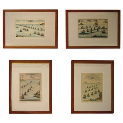 $1,275 Sale Price / set50% Off
 - Greece, "Graeciae Antiquae"" A 17th Century Hand-colored Map by SansonBy Nicolas SansonLocated in Alamo, CAThis is an original 17th century hand colored copperplate engraved map of Greece entitled "Graeciae Antiquae Tabula Hanc Geographicam" by Nicolas d'Abbeville Sanson, engraved and pub...Category
Antique Mid-17th Century French Maps
MaterialsPaper