Items Similar to Antique Map of the Royal Botanic Garden & Arboretum Kew in London, England

Want more images or videos?
Request additional images or videos from the seller
1 of 10
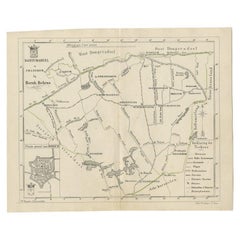
Antique Map of the Royal Botanic Garden & Arboretum Kew in London, England
$900
$1,20025% Off
£667.83
£890.4525% Off
€777.94
€1,037.2525% Off
CA$1,252.81
CA$1,670.4125% Off
A$1,395.11
A$1,860.1525% Off
CHF 726.08
CHF 968.1125% Off
MX$17,201.58
MX$22,935.4325% Off
NOK 9,247.17
NOK 12,329.5725% Off
SEK 8,691.45
SEK 11,588.6025% Off
DKK 5,804.37
DKK 7,739.1625% Off
Shipping
Retrieving quote...The 1stDibs Promise:
Authenticity Guarantee,
Money-Back Guarantee,
24-Hour Cancellation
About the Item
A very nice antique map of the Royal Botanic Garden & Arboretum in London, England, circa 1880s. The map itself measures 12" x 16" and is professionally framed in a nice black frame with red mat measuring 18" x 22".
- Dimensions:Height: 22 in (55.88 cm)Width: 18 in (45.72 cm)Depth: 1 in (2.54 cm)
- Materials and Techniques:
- Place of Origin:
- Period:
- Date of Manufacture:1880s
- Condition:Wear consistent with age and use. Minor fading.
- Seller Location:San Diego, CA
- Reference Number:1stDibs: LU936612148551
About the Seller
4.9
Platinum Seller
Premium sellers with a 4.7+ rating and 24-hour response times
Established in 2000
1stDibs seller since 2012
4,102 sales on 1stDibs
Typical response time: <1 hour
- ShippingRetrieving quote...Shipping from: San Diego, CA
- Return Policy
Authenticity Guarantee
In the unlikely event there’s an issue with an item’s authenticity, contact us within 1 year for a full refund. DetailsMoney-Back Guarantee
If your item is not as described, is damaged in transit, or does not arrive, contact us within 7 days for a full refund. Details24-Hour Cancellation
You have a 24-hour grace period in which to reconsider your purchase, with no questions asked.Vetted Professional Sellers
Our world-class sellers must adhere to strict standards for service and quality, maintaining the integrity of our listings.Price-Match Guarantee
If you find that a seller listed the same item for a lower price elsewhere, we’ll match it.Trusted Global Delivery
Our best-in-class carrier network provides specialized shipping options worldwide, including custom delivery.More From This Seller
View AllVintage "View of the Center of Paris Taken from the Air" Lithograph Map
Located in San Diego, CA
A very stylish "View of the Center of Paris Taken from the Air" lithograph map published by the Paris Ministry of Tourism, circa early 1950s. The piece measures 27" x 43" and shows...
Category
20th Century French Mid-Century Modern Prints
Materials
Paper

$680 Sale Price
20% Off
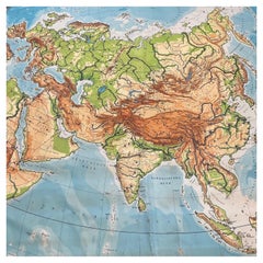
Huge Europe and Asia Vintage Wall Map
Located in San Diego, CA
A huge Europe and Asia vintage wall map, circa 1950s. The map is in fair vintage condition and measures 78"W x 73"H". #2863
Category
Mid-20th Century American Maps
Materials
Paper
$380 Sale Price
20% Off
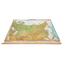
Massive Vintage Wall Map of the Soviet Union 'Sowjetunion' by Karl Wenschow
By Denoyer-Geppert
Located in San Diego, CA
A massive vintage wall map of the Soviet Union (Sowjetunion) published by Karl Wenschow in Munich, Germany, circa 1950s. The map was distributed by De...
Category
Mid-20th Century American Maps
Materials
Paper, Wood
$540 Sale Price
20% Off
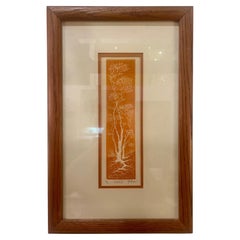
Al Kaufman Framed Original Signed & Numbered Etching with COA 75/300
Located in San Diego, CA
Original 1970's etching by Listed artist Al Kaufman , framed in glass and oak with COA signed an numbered Sandalwood title.
Category
20th Century American American Classical Prints
Materials
Glass, Oak, Paper
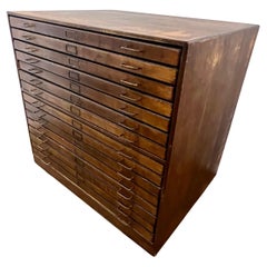
Antique Large 15 Drawer Staking Map Posters Chest Drawing File Walnut Cabinet
Located in San Diego, CA
Versatile antique 15 drawer file cabinet posters documents etc, circa 1970's walnut finish large with patinated brass handles a worn patinated finish perfect for an artists studio.
Category
20th Century American Mission Cabinets
Materials
Brass
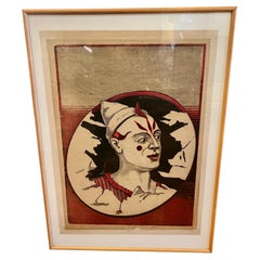
Rare Calhoun Print Poster Hartford Circus in Town Framed 1900's
By Calhoun Print Co.
Located in San Diego, CA
Printed in the third quarter of the 19th century, this fine poster was printed by Calhoun Print Hartford. The Calhoun Company was noted for its large colorful posters, street banne...
Category
20th Century American Art Nouveau Posters
Materials
Glass, Wood, Paper
You May Also Like
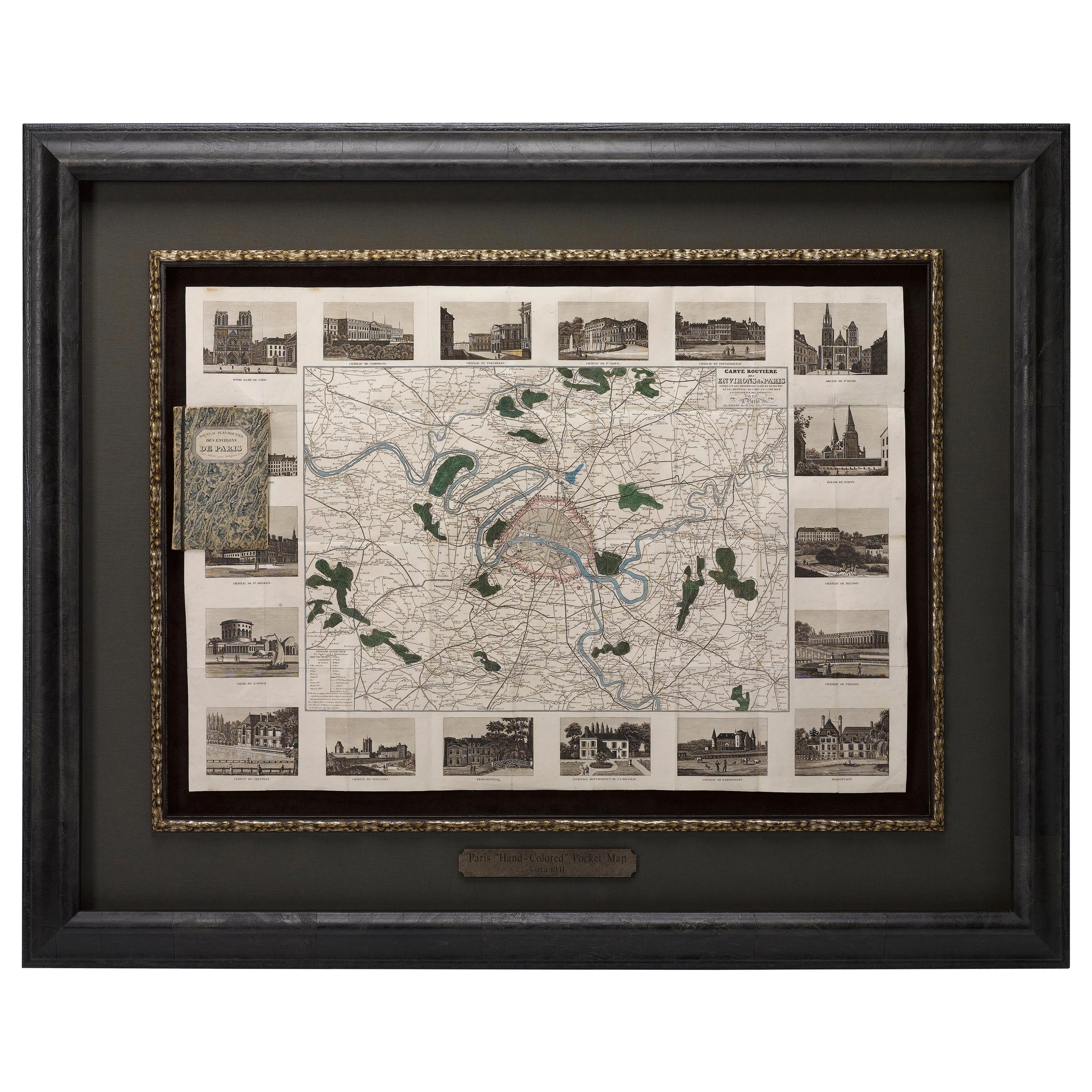
Antique Map of Paris, "Carte Routiere des Environs de Paris" 1841
Located in Colorado Springs, CO
This beautiful hand-colored road map of Paris was published in 1841. The map shows Paris and the surrounding area in a folding pocket map. Organized and detailed for travelers, this ...
Category
Antique 1840s French Maps
Materials
Paper

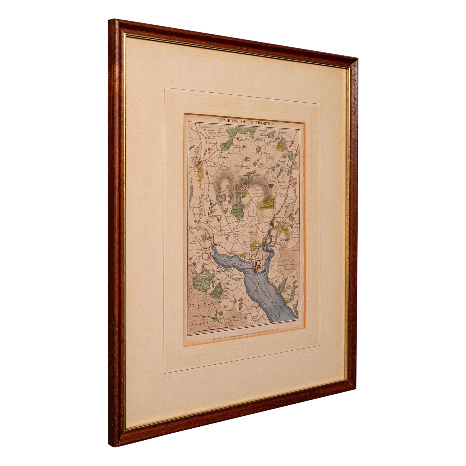
Antique Lithography Map, Environs of Southampton, English, Framed, Victorian
Located in Hele, Devon, GB
This is an antique lithography map 'The Environs of Southampton'. An English, framed town engraving of cartographic interest by John James Dower, dating to the Victorian period and ...
Category
Antique Late 19th Century British Victorian Maps
Materials
Wood

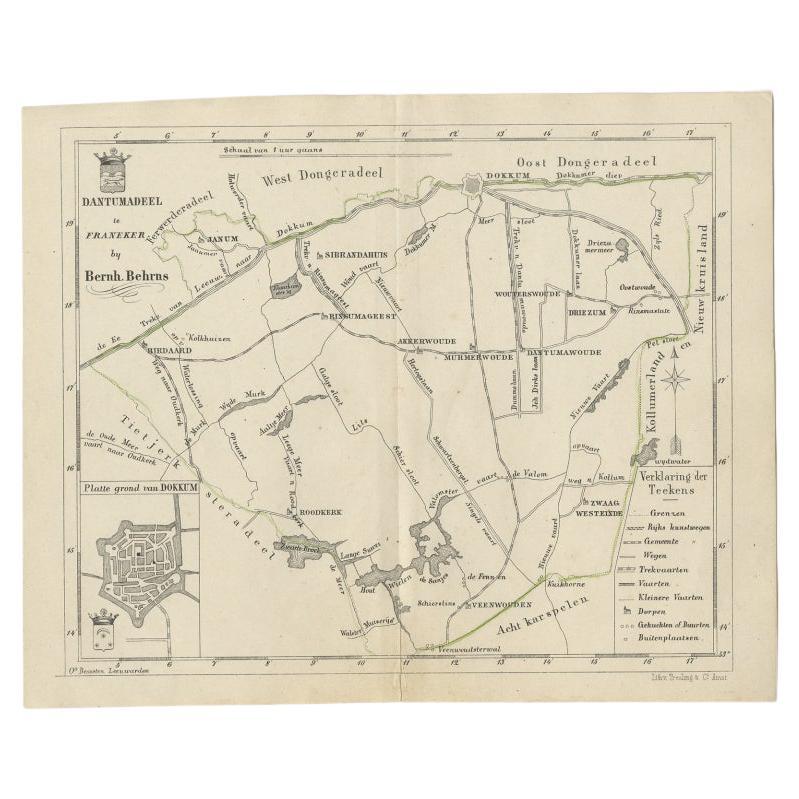
Antique Map of the Dutch Dantumadeel Township, 1861
Located in Langweer, NL
Antique map titled 'Gemeente Dantumadeel'. Old map depicting the Dantumadeel township including cities and villages like Birdaard, Roodkerk, Veenwouden, Dantumawoude and Dokkum. This...
Category
Antique 19th Century Maps
Materials
Paper
$125 Sale Price
20% Off
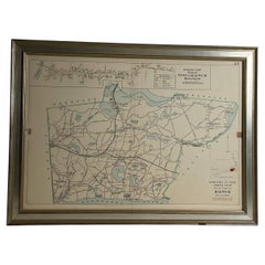
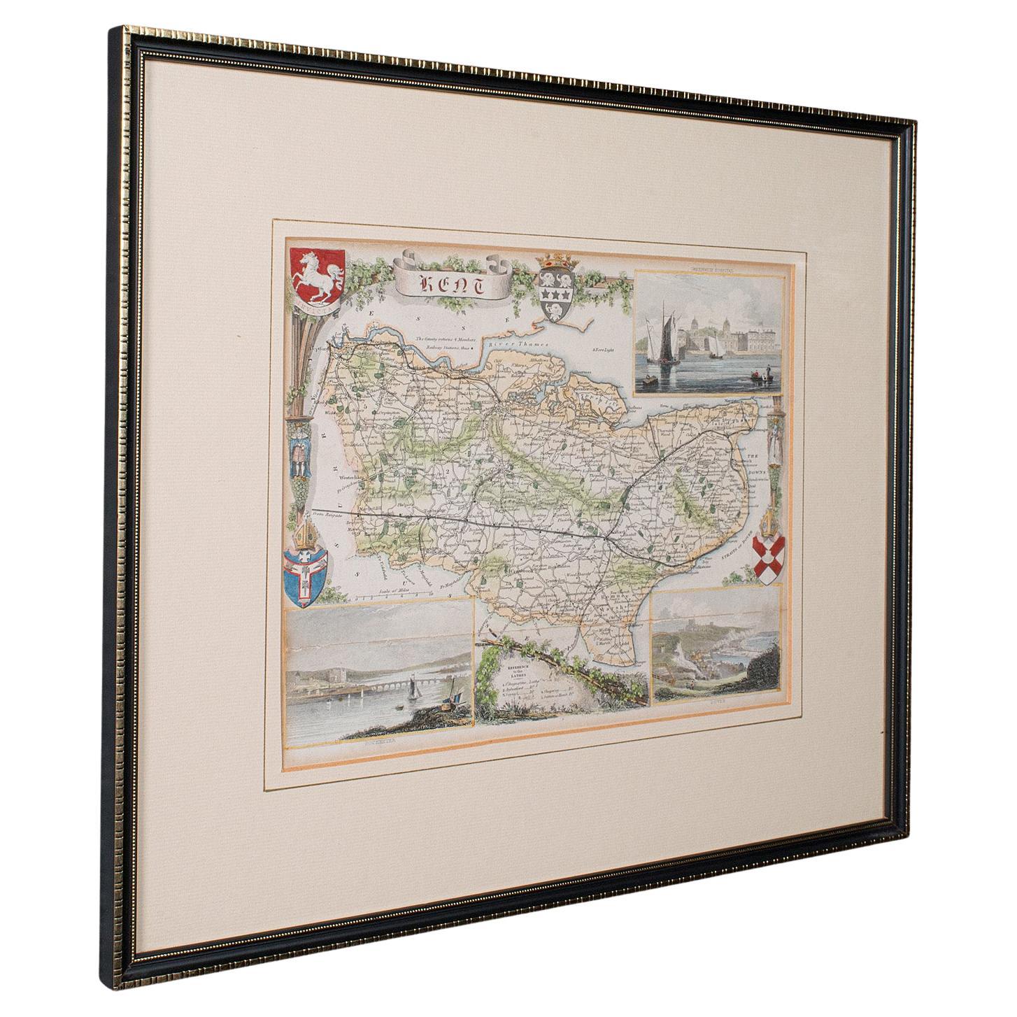
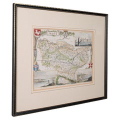
Antique County Map, Kent, English, Framed, Lithography, Cartography, Victorian
Located in Hele, Devon, GB
This is an antique lithography map of Kent. An English, framed atlas engraving of cartographic interest, dating to the mid 19th century and later.
Superb lithography of Kent and it...
Category
Antique Mid-19th Century British Victorian Maps
Materials
Paper
Antique County Map, Berkshire, English Framed Lithograph, Cartography, Victorian
Located in Hele, Devon, GB
This is an antique lithography map of Berkshire. An English, framed atlas engraving of cartographic interest, dating to the mid 19th century and later.
Superb lithography of Berksh...
Category
Antique Mid-19th Century British Victorian Maps
Materials
Paper

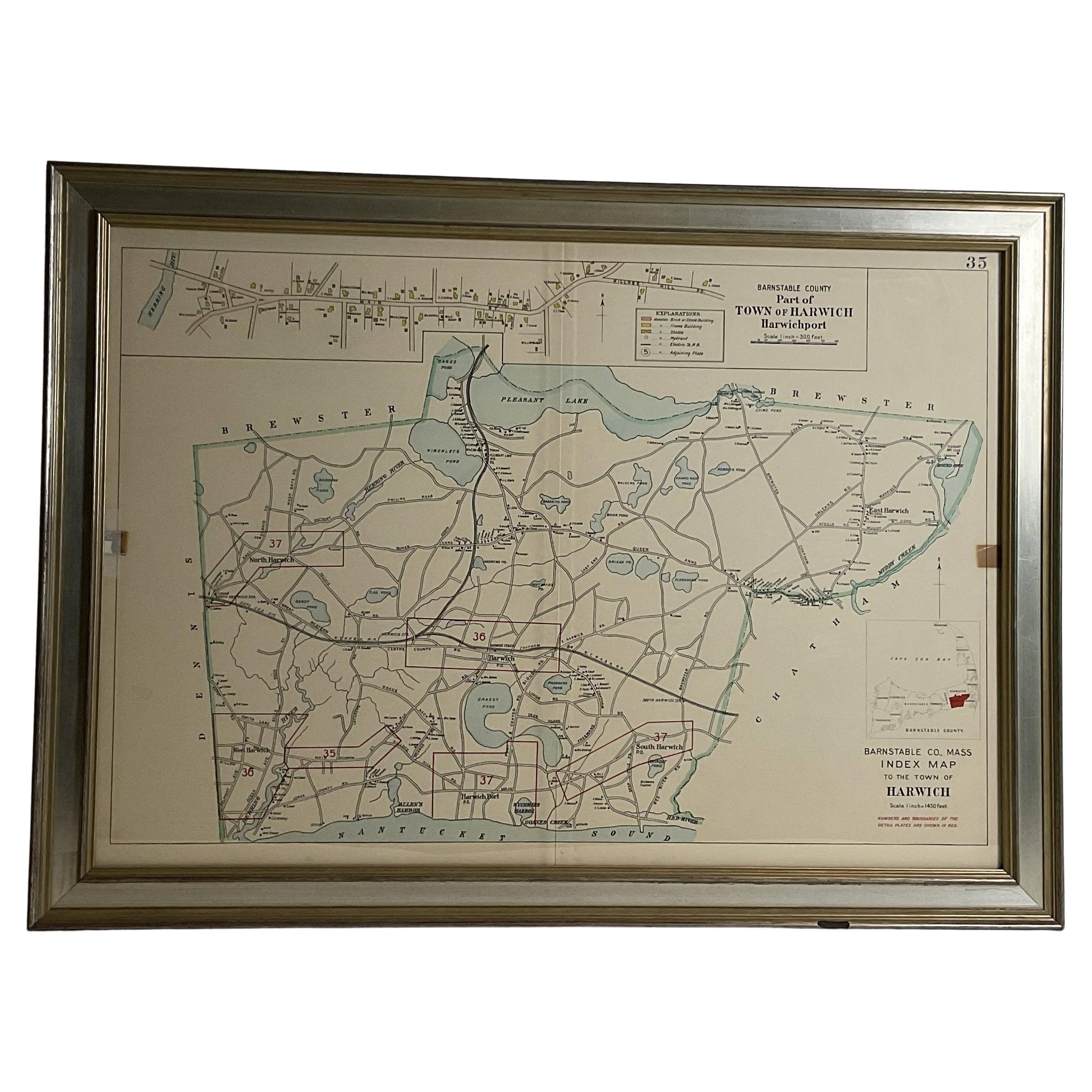
Wychmere Harbor Allens Harbor Map Circa 1890
Located in Norwell, MA
Map of Harwich Mass showing Wychmere Harbor, Doane's Creek, Allens Harbor, Herring River, Pleasant Lake, Grassy Pond, Paddocks Pond, Hinkleys Pond, etc., This is an original period m...
Category
Antique 1890s North American Maps
Materials
Paper