Items Similar to Circus Flaminius (..), Anonymous, 1704
Want more images or videos?
Request additional images or videos from the seller
1 of 5
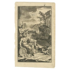
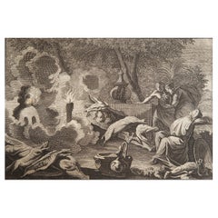
Circus Flaminius (..), Anonymous, 1704
$142.91
£106.42
€120
CA$195.76
A$218.30
CHF 113.90
MX$2,678.59
NOK 1,449.74
SEK 1,373.60
DKK 913.52
Shipping
Retrieving quote...The 1stDibs Promise:
Authenticity Guarantee,
Money-Back Guarantee,
24-Hour Cancellation
About the Item
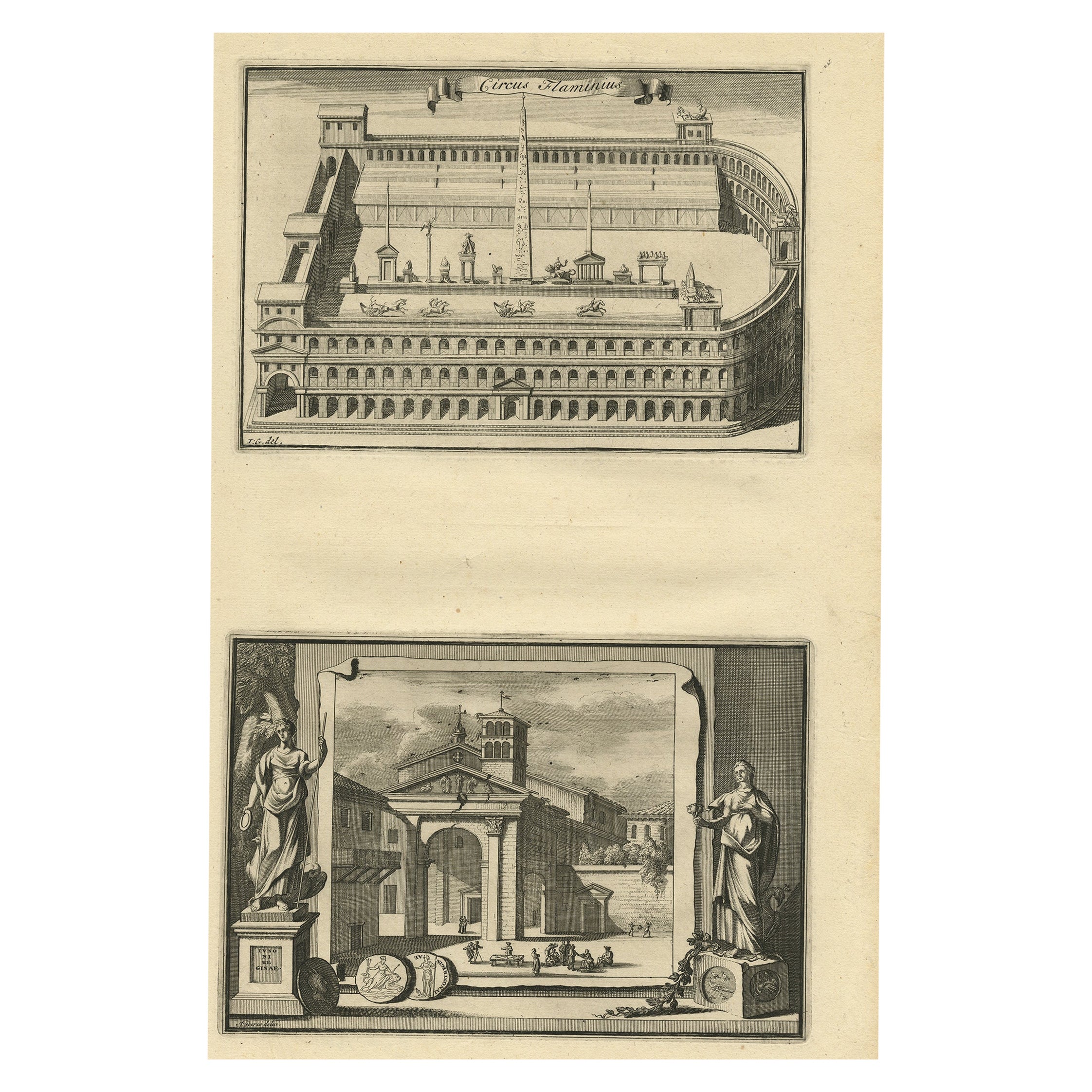
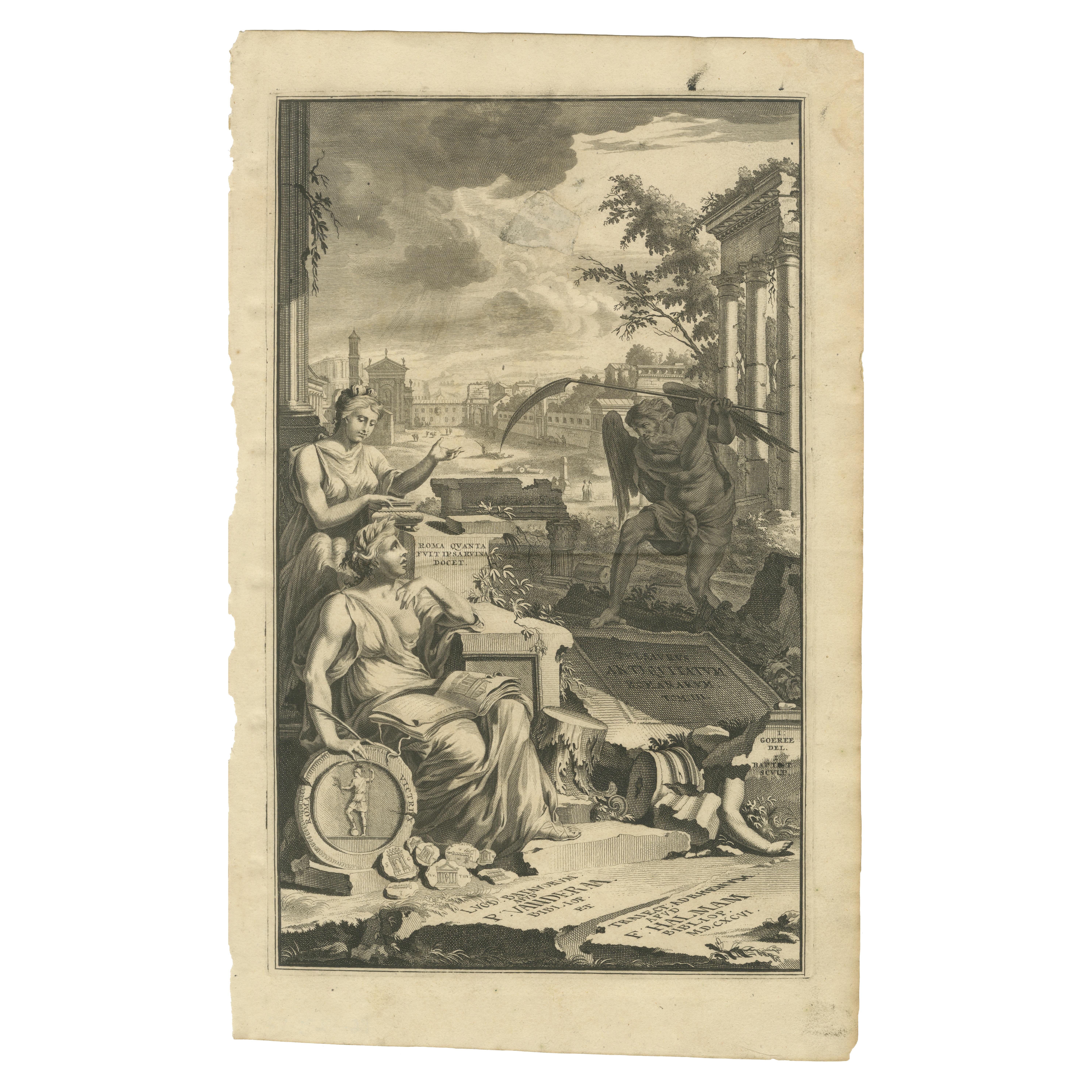
Antique print, titled: 'Circus Flaminius (?)' - This original old antique print shows a reconstruction of Circus Flaminius, a large, circular area in ancient Rome, located in the southern end of the Campus Martius near the Tiber River, Rome, Italy. Below another view of Rome. This original old antique print / plate originates from: 'Beschryving van Oud en Nieuw Rome. Verdeelt in drie Deelen. In 't Fransch beschreven door den Heer Francois Desseine. En in 't Nederduitsch vertaalt.', by Francois Desseine and published by Francois Halma in 1704, first published in French in 1690. Copies of this work are rarely complete as the maps and engravings are of high quality matching the work of Piranesi. Artists and Engravers: Made by an anonymous engraver after 'Jan Goeree'.
The antique print by Halma presents a captivating depiction of Circus Flaminius, an iconic ancient Roman circus. This intricate artwork offers a vivid portrayal of the circus, showcasing its grandeur and historical significance in ancient Rome.
Halma's print meticulously captures the essence of Circus Flaminius, renowned for its bustling activities, chariot races, and public events during the Roman Republic and Empire. The print likely showcases the layout of the circus, its architectural features, and possibly the vibrant scenes of entertainment that once animated its space.
Crafted with detailed precision, the print may exhibit artistic nuances that bring to life the ambiance and architectural splendor of Circus Flaminius. It provides a glimpse into the architectural prowess of ancient Rome and the cultural importance of this historic circus as a center for entertainment and social gatherings.
As an antique depiction, Halma's print serves as a valuable historical testament, preserving the legacy and significance of Circus Flaminius within the landscape of ancient Roman entertainment and public life.
Artist: Made by an anonymous engraver after 'Jan Goeree'.
Antique prints have long been appreciated for both their aesthetic and investment value. They were the product of engraved, etched or lithographed plates. These plates were handmade out of wood or metal, which required an incredible level of skill, patience and craftsmanship. Whether you have a house with Victorian furniture or more contemporary decor an old engraving can enhance your living space. We offer a wide range of authentic antique prints for any budget.
- Dimensions:Height: 14.1 in (35.82 cm)Width: 9.3 in (23.63 cm)Depth: 0.001 in (0.03 mm)
- Materials and Techniques:
- Period:
- Date of Manufacture:1704
- Condition:Condition: Good, given age. General age-related toning and/or occasional minor defects from handling. Please study scan carefully.
- Seller Location:Langweer, NL
- Reference Number:Seller: PCT-618391stDibs: LU3054327108942
About the Seller
5.0
Recognized Seller
These prestigious sellers are industry leaders and represent the highest echelon for item quality and design.
Platinum Seller
Premium sellers with a 4.7+ rating and 24-hour response times
Established in 2009
1stDibs seller since 2017
2,490 sales on 1stDibs
Typical response time: <1 hour
- ShippingRetrieving quote...Shipping from: Langweer, Netherlands
- Return Policy
Authenticity Guarantee
In the unlikely event there’s an issue with an item’s authenticity, contact us within 1 year for a full refund. DetailsMoney-Back Guarantee
If your item is not as described, is damaged in transit, or does not arrive, contact us within 7 days for a full refund. Details24-Hour Cancellation
You have a 24-hour grace period in which to reconsider your purchase, with no questions asked.Vetted Professional Sellers
Our world-class sellers must adhere to strict standards for service and quality, maintaining the integrity of our listings.Price-Match Guarantee
If you find that a seller listed the same item for a lower price elsewhere, we’ll match it.Trusted Global Delivery
Our best-in-class carrier network provides specialized shipping options worldwide, including custom delivery.More From This Seller
View AllAntique Engraving of Circus Flaminius, a Circular Area in Ancient Rome, 1704
Located in Langweer, NL
Description: Antique print, titled: 'Circus Flaminius (…)' -
This original old antique print shows a reconstruction of Circus Flaminius, a large, circular area in ancient Rome, l...
Category
Antique Early 1700s Prints
Materials
Paper
$181 Sale Price
20% Off
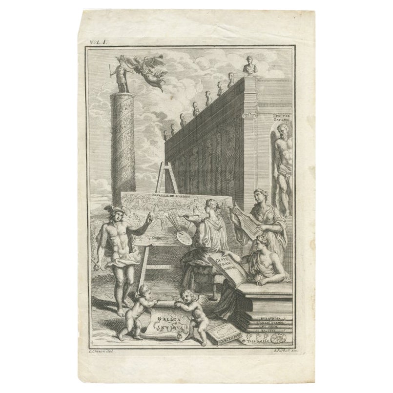
Antique Frontispiece of 'Gallia Antiqua' with Mercury, Herucules Etc, circa 1728
Located in Langweer, NL
Frontispiece to volume one of 'Gallia Antiqua'. It shows an allegorical scene with Mercury standing at left beside a nymph painting the 'Bataille de Soissons'. Tragan's column behind...
Category
Antique 18th Century French Prints
Materials
Paper
$152 Sale Price
20% Off
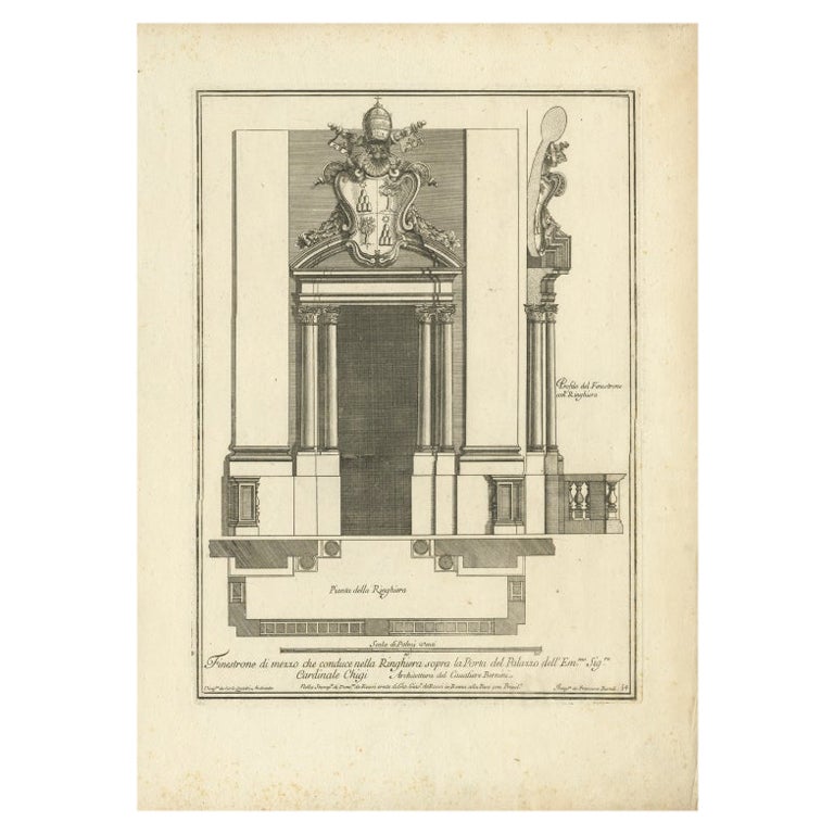
Antique Print of Palazzo Chigi by De Rossi, c.1710
Located in Langweer, NL
Antique print titled 'Finestrone di mezzo che conduce nella Ringhiera (..)'. Old print of a window of Palazzo Chigi, Rome. This print originates from 'Studio d'architettura civile so...
Category
Antique 18th Century Prints
Materials
Paper

Herculaneum Monuments, 1762: Bayardi's Engraving Plate 61
Located in Langweer, NL
Antique print originating from 'Le Antichita di Ercolano Esposte'. A vast survey of the bronzes, statues, wall-paintings, and monuments of Herculaneum. This monumental work was the f...
Category
Antique 18th Century Prints
Materials
Paper
Allegorical Frontispiece of Rome's Ruins, Pieter van der Aa & F. Halma, 1696
Located in Langweer, NL
This engraving is an allegorical frontispiece featuring a depiction of the ruins of ancient Rome, emphasizing the enduring legacy of the city's grandeur through its remnants. The com...
Category
Antique 1690s Prints
Materials
Paper
Extremely Scarce Views Related to the Great Mogol, 1725
Located in Langweer, NL
Plate: 'Cabinet du jardin du grand Mogol. - Throne & Chambre d'audience du Grand Mogol en dedans. - Habit du Grand Mogol, & d'une de ses femmes. - Chasse des Lions du Grand Mogol.' (...
Category
Antique 18th Century Prints
Materials
Paper
You May Also Like
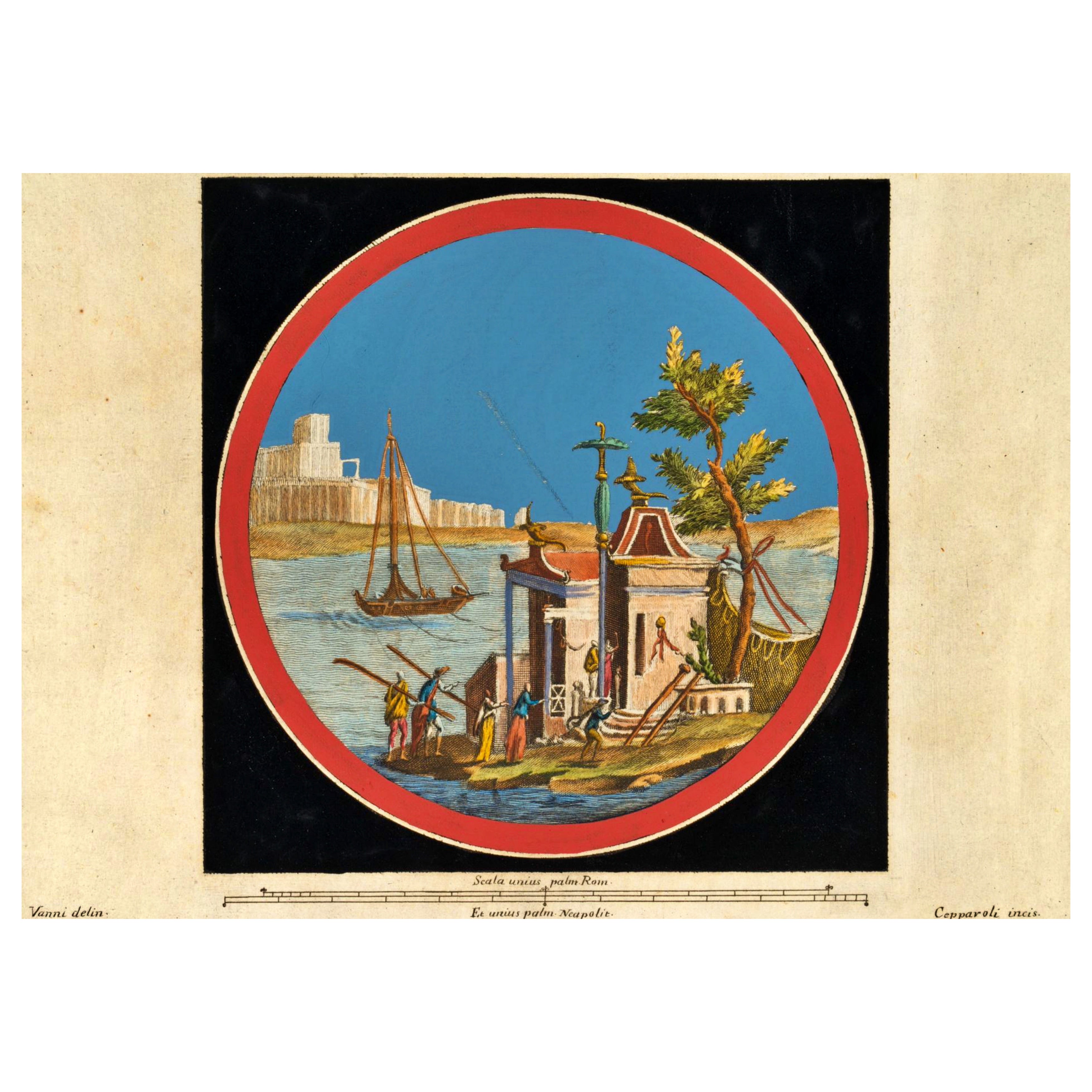
F. CEPPARULI (*1750) after VANNI (*1750), "Temple on an Island in the Water"
By Europa
Located in Madrid, ES
F. CEPPARULI (*1750) after VANNI (*1750), Temple on an Island in the Water, circa 1780
Copper engraving Francesco Cepparuli (before 1750 - after 1767 ) after Niccolo Vanni (before 1...
Category
Antique 18th Century Italian Baroque Drawings
Materials
Paint
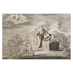
Original Antique Print After Jan Luyken, Amsterdam, Genesis XXII. 1724
Located in St Annes, Lancashire
Wonderful copper-plate engraving after Jan Luyken
Published by Marten Schagen, Amsterdam. 1724
Text on verso
The measurement given is the paper size.
Category
Antique 1720s Dutch Renaissance Prints
Materials
Paper
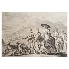
Original Antique Print After Jan Luyken, Amsterdam, Genesis XXXI, 1724
Located in St Annes, Lancashire
Wonderful copper-plate engraving after Jan Luyken
Published by Marten Schagen, Amsterdam. 1724
Text on verso
The measurement given is the paper size.
Category
Antique 1720s Dutch Renaissance Prints
Materials
Paper
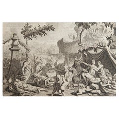
Original Antique Print after Jan Luyken, Amsterdam, Genesis VI, 1724
Located in St Annes, Lancashire
Wonderful copper-plate engraving after Jan Luyken
Published by Marten Schagen, Amsterdam. 1724
Text on verso
The measurement given is the paper size.
Category
Antique 1720s Dutch Renaissance Prints
Materials
Paper
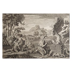
Original Antique Print after Jan Luyken, Amsterdam, Genesis IV, 1724
Located in St Annes, Lancashire
Wonderful copper-plate engraving after Jan Luyken
Published by Marten Schagen, Amsterdam. 1724
Text on verso
The measurement given is the paper size.
Category
Antique 1720s Dutch Renaissance Prints
Materials
Paper
Original Antique Print after Jan Luyken, Amsterdam, Genesis XV, 1724
Located in St Annes, Lancashire
Wonderful copper-plate engraving after Jan Luyken
Published by Marten Schagen, Amsterdam. 1724
Text on verso
The measurement given is the paper size.
Category
Antique 1720s Dutch Renaissance Prints
Materials
Paper
More Ways To Browse
Chinoiserie Cabinet On Stand
Chinoiserie French Chest
Chinoiserie Hand Painted Black Lacquered Cabinet
Cobalt Glass Box
Cocker Spaniel
Commercial Glass Doors Used
Crystal Owl
Danish Modern Teak Secretary
Danish Record Cabinet
Danish Teak Animals
Dining Chairs With Wheels
Dove Carving
Dragonfly Japanese
Drexel Heritage Bedroom Furniture
Drexel Heritage Bedroom
Dutch Renaissance Cabinet
Eden Table
Edme Samson