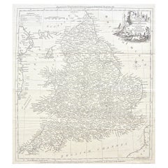
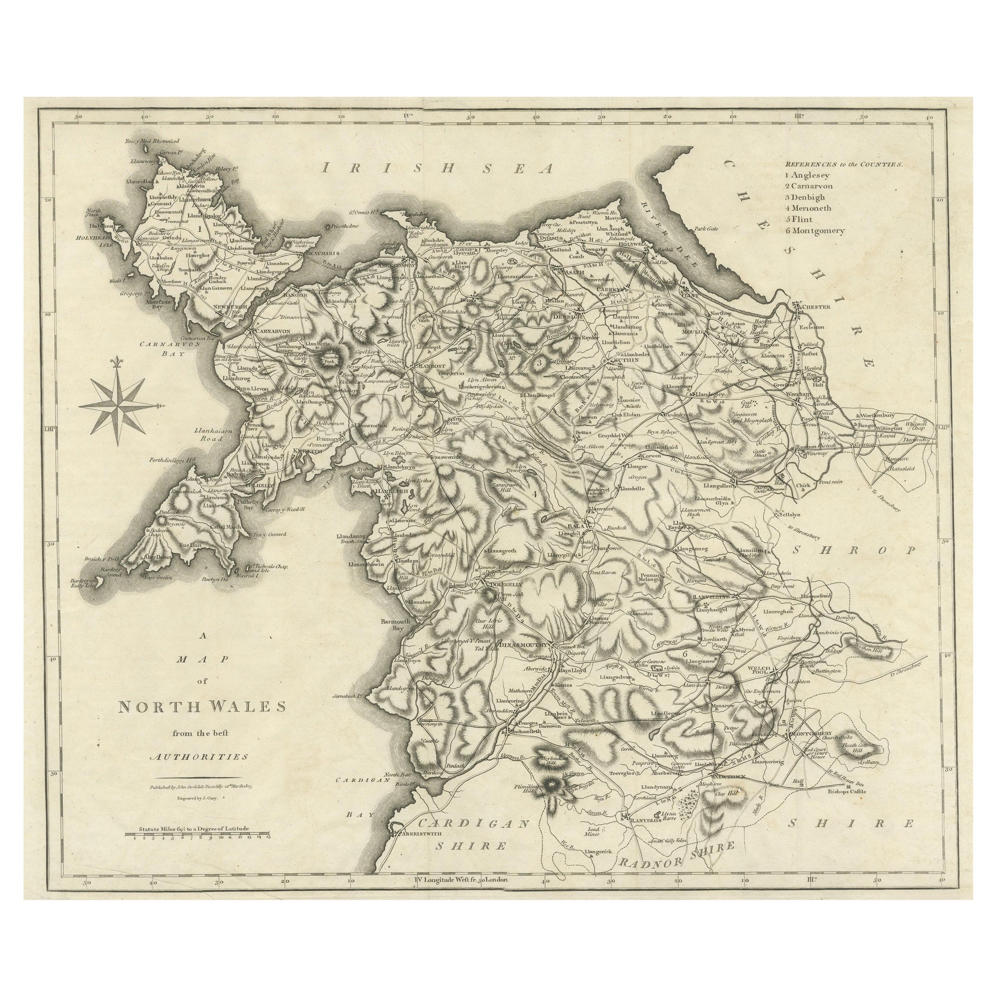
Original 1700s Map of Great Britain, England & Wales in 1757 by Thomas Kitchin
View Similar Items


1 of 4
Original 1700s Map of Great Britain, England & Wales in 1757 by Thomas Kitchin
About the Item
- Dimensions:Height: 16.13 in (40.98 cm)Width: 14.63 in (37.17 cm)Depth: 0.13 in (3.31 mm)
- Materials and Techniques:Paper,Engraved
- Place of Origin:
- Period:
- Date of Manufacture:1784
- Condition:Wear consistent with age and use. The print is in great condition except for the sides, where the print is worn and there are several clean tears into each of the sides of the print, as can barely be seen.
- Seller Location:Montréal, CA
- Reference Number:Seller: S3-P-501stDibs: LU9562238199312
Authenticity Guarantee
In the unlikely event there’s an issue with an item’s authenticity, contact us within 1 year for a full refund. DetailsMoney-Back Guarantee
If your item is not as described, is damaged in transit, or does not arrive, contact us within 7 days for a full refund. Details24-Hour Cancellation
You have a 24-hour grace period in which to reconsider your purchase, with no questions asked.Vetted Professional Sellers
Our world-class sellers must adhere to strict standards for service and quality, maintaining the integrity of our listings.Price-Match Guarantee
If you find that a seller listed the same item for a lower price elsewhere, we’ll match it.Trusted Global Delivery
Our best-in-class carrier network provides specialized shipping options worldwide, including custom delivery.You May Also Like
Original Antique Map of England and Wales
Located in Langweer, NL
Antique map titled 'A New and Correct Map of England and Wales from the Latest and Best Improvements'. Original antique map of England and Wales. Printed by Alex Hogg, London for George Henry Millar's 'New, Complete and Universal System...
Category
Antique Late 18th Century Maps
Materials
Paper

$223 Sale Price
20% Off
Original Antique Map of England, Ireland, Scotland and Wales
Located in Langweer, NL
Antique map titled 'Les Isles Britanniques, ou sont les Royaumes d Angleterre (..)'. Detailed map of England, Ireland, Scotland and Wales, with French coast and part of the Netherlan...
Category
Antique Early 18th Century Maps
Materials
Paper

$270 Sale Price
20% Off
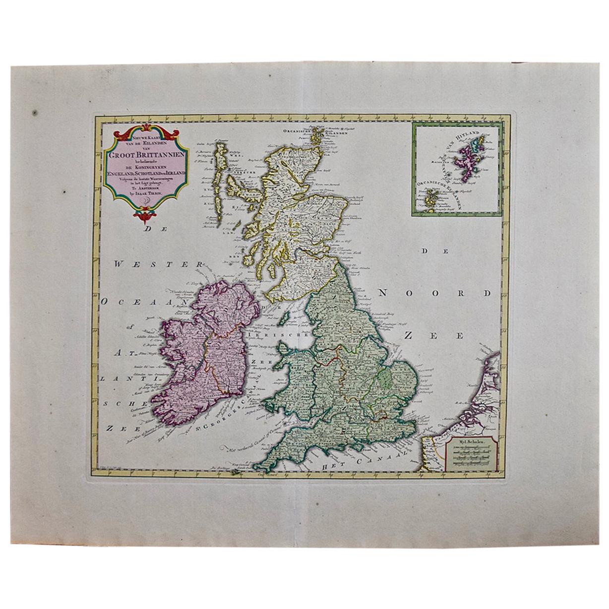
England, Scotland & Ireland: A Hand Colored Map of Great Britain by Tirion
By Isaak Tirion
Located in Alamo, CA
This is a hand-colored double page copperplate map of Great Britain entitled "Nieuwe Kaart van de Eilanden van Groot Brittannien Behelzende de Kon...
Category
Antique Mid-18th Century Dutch Maps
Materials
Paper

Antique Map of England & Wales by Wyld '1845'
Located in Langweer, NL
Antique map titled 'England & Wales'. Original antique map of England & Wales. This map originates from 'An Atlas of the World, Comprehending Se...
Category
Antique Mid-19th Century Maps
Materials
Paper

$131 Sale Price
24% Off
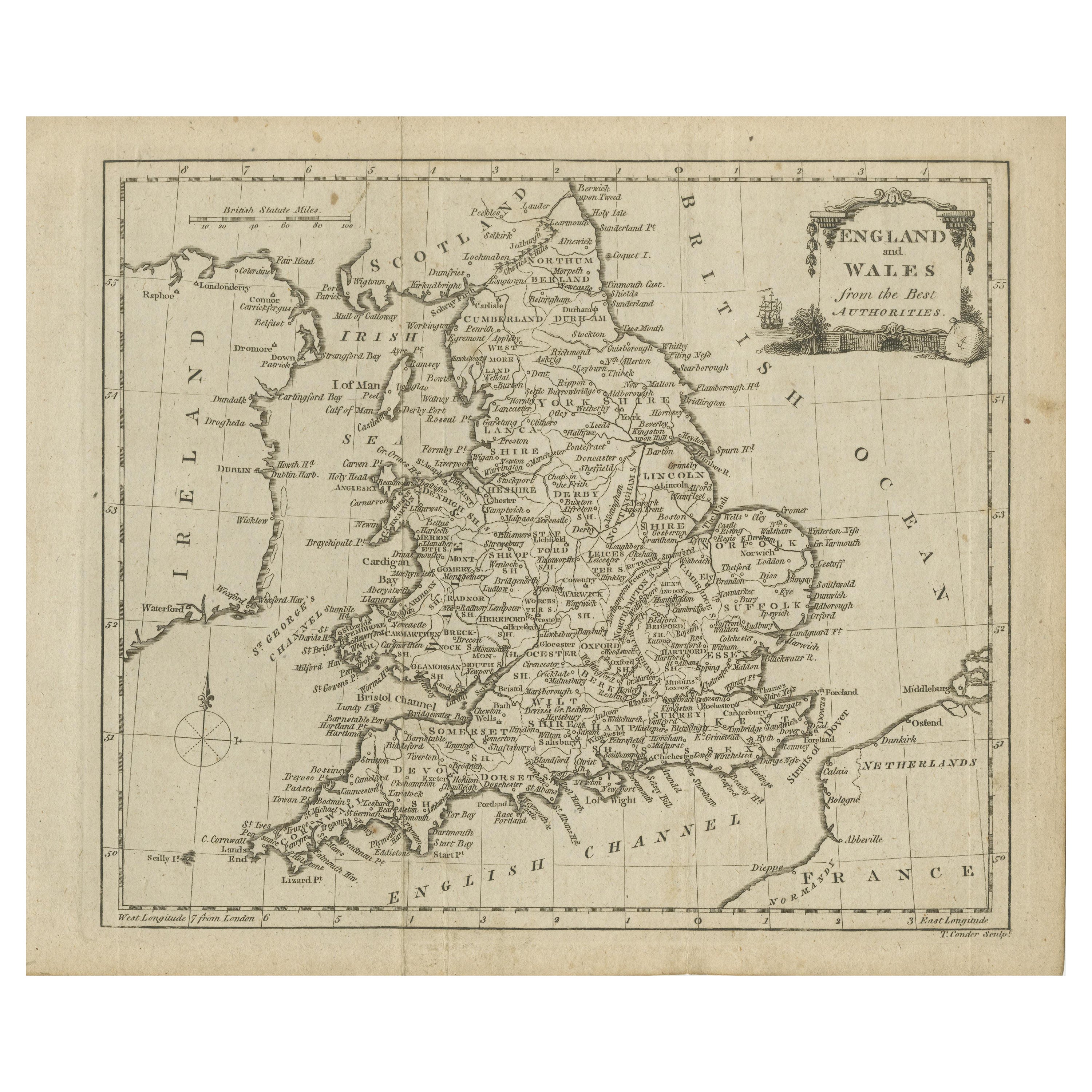
Original Antique Map of England and Wales, with Decorative Cartouche
Located in Langweer, NL
Antique map titled 'England and Wales from the best Authorities'. Original antique map of England and Wales, with decorative cartouche. Engraved by T. Conder. Published circa 1790.
Category
Antique Late 18th Century Maps
Materials
Paper
$149 Sale Price
20% Off
Miniature Antique Map of England and Wales
Located in Langweer, NL
Miniature map titled 'England & Wales'. Original antique map of England & Wales. This map originates from 'Darton's New Miniature Atlas' publis...
Category
Antique Early 19th Century Maps
Materials
Paper

$242 Sale Price
20% Off