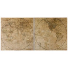
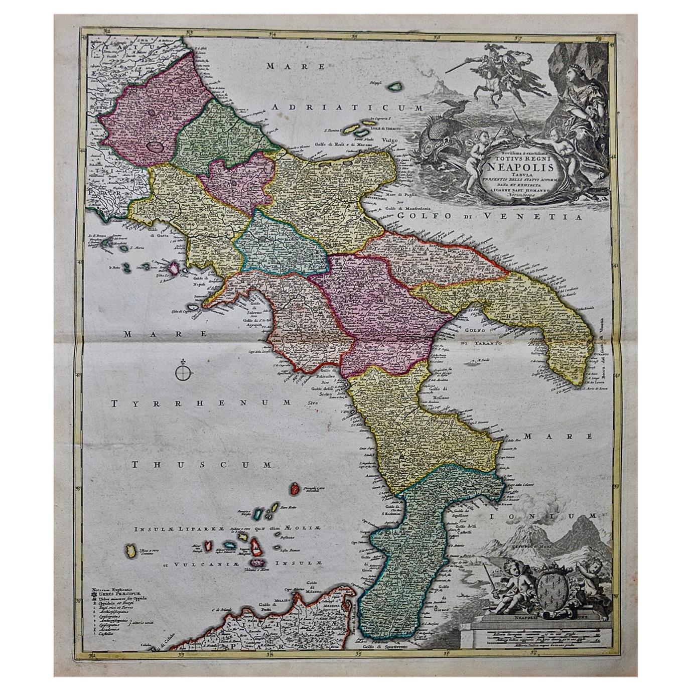
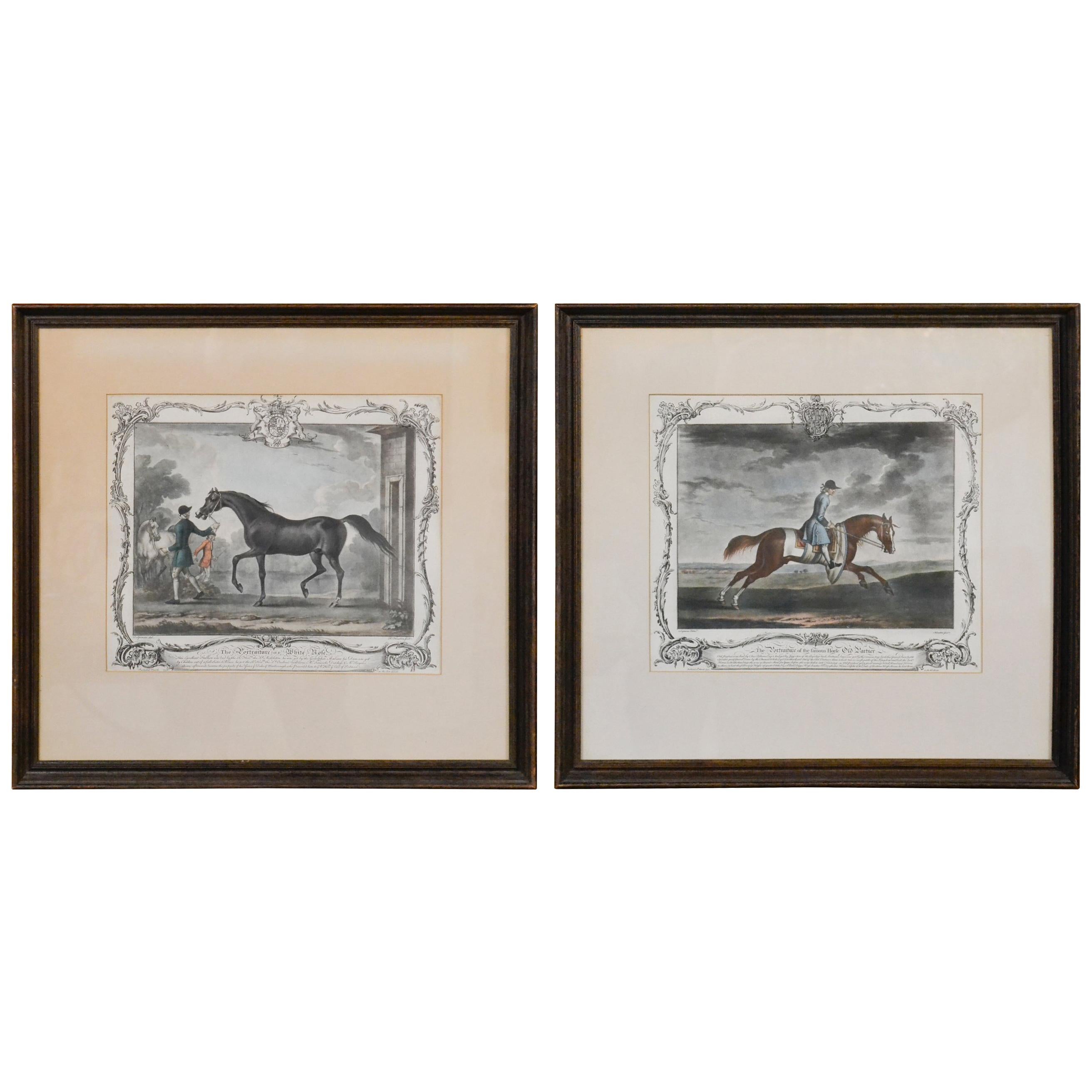
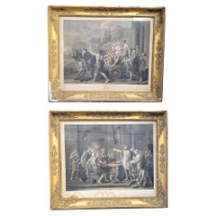
Pair of Late 18th Century Maps from Italy
View Similar Items


1 of 3
Pair of Late 18th Century Maps from Italy
$36,000List Priceper set
About the Item
- Dimensions:Height: 85.5 in (217.17 cm)Width: 85.5 in (217.17 cm)Depth: 1 in (2.54 cm)
- Sold As:Set of 2
- Materials and Techniques:
- Place of Origin:
- Period:
- Date of Manufacture:Unknown
- Condition:Wear consistent with age and use.
- Seller Location:Houston, TX
- Reference Number:Seller: Item #12343-841stDibs: LU84709332631
Authenticity Guarantee
In the unlikely event there’s an issue with an item’s authenticity, contact us within 1 year for a full refund. DetailsMoney-Back Guarantee
If your item is not as described, is damaged in transit, or does not arrive, contact us within 7 days for a full refund. Details24-Hour Cancellation
You have a 24-hour grace period in which to reconsider your purchase, with no questions asked.Vetted Professional Sellers
Our world-class sellers must adhere to strict standards for service and quality, maintaining the integrity of our listings.Price-Match Guarantee
If you find that a seller listed the same item for a lower price elsewhere, we’ll match it.Trusted Global Delivery
Our best-in-class carrier network provides specialized shipping options worldwide, including custom delivery.You May Also Like
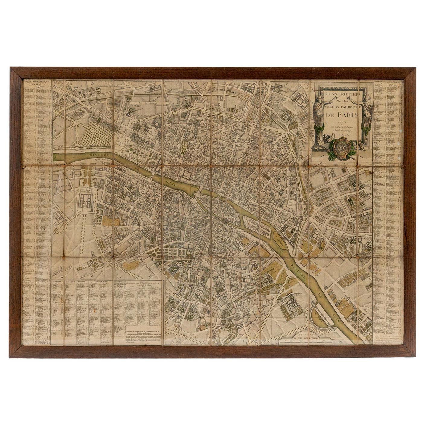
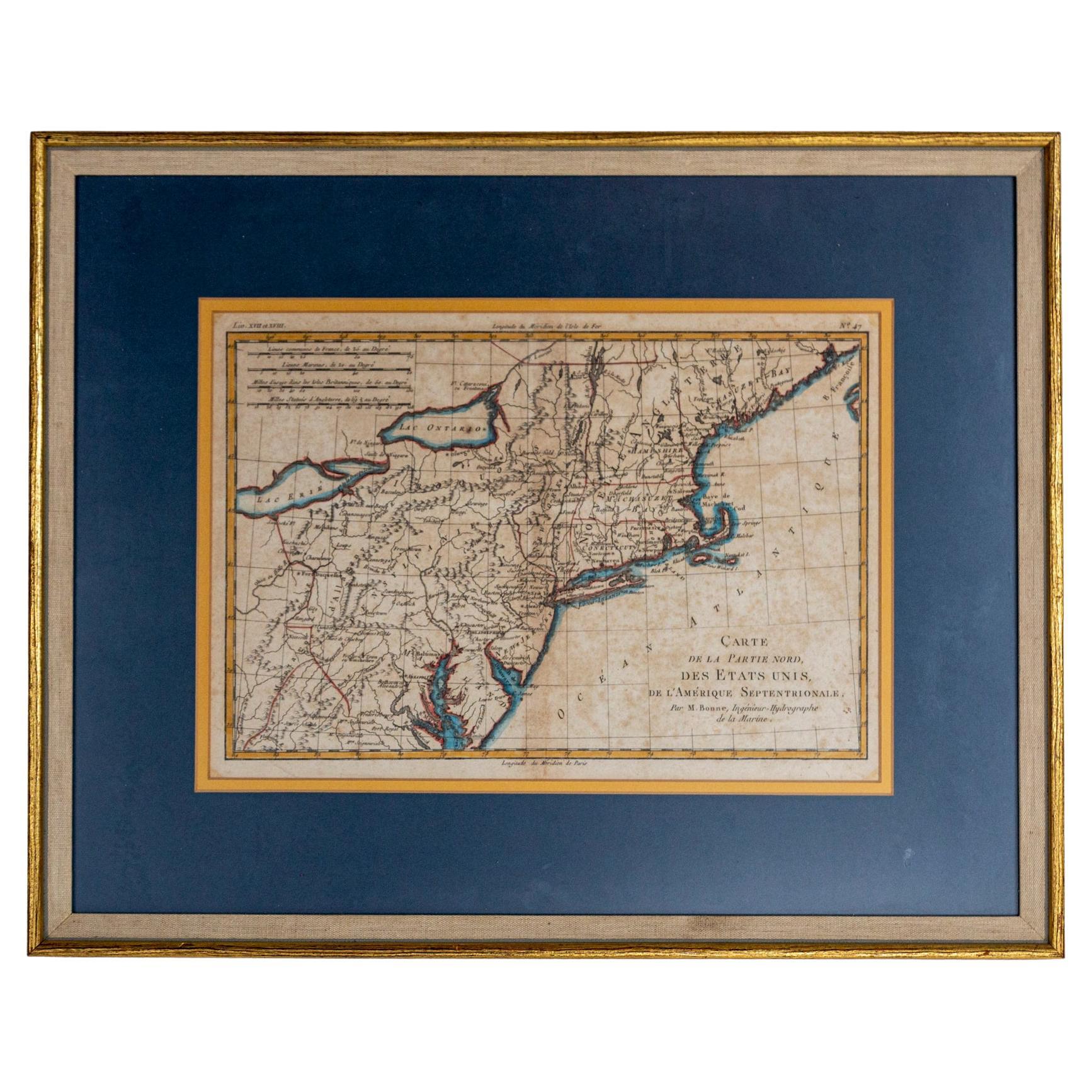
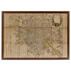
18th Century Map of Paris
Located in Washington, DC
18th century map of Paris.
Category
Antique Late 18th Century French Prints
Materials
Glass, Wood, Paper
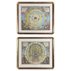
Cellarius Andreas Pair of Celestial Maps 18th Century from Harmonia Macrocosmica
By Andreas Cellarius
Located in Milano, MI
Cellarius Andreas Pair of 18th Century Watercolor Celestial Maps within gilt frames, titled
Planisphaerivm Aratevm sive Compages Orbivm Mvndanorvm ex Hypothesi Aratea in Plano Expre...
Category
Antique Early 18th Century Dutch Renaissance Prints
Materials
Paper, Giltwood
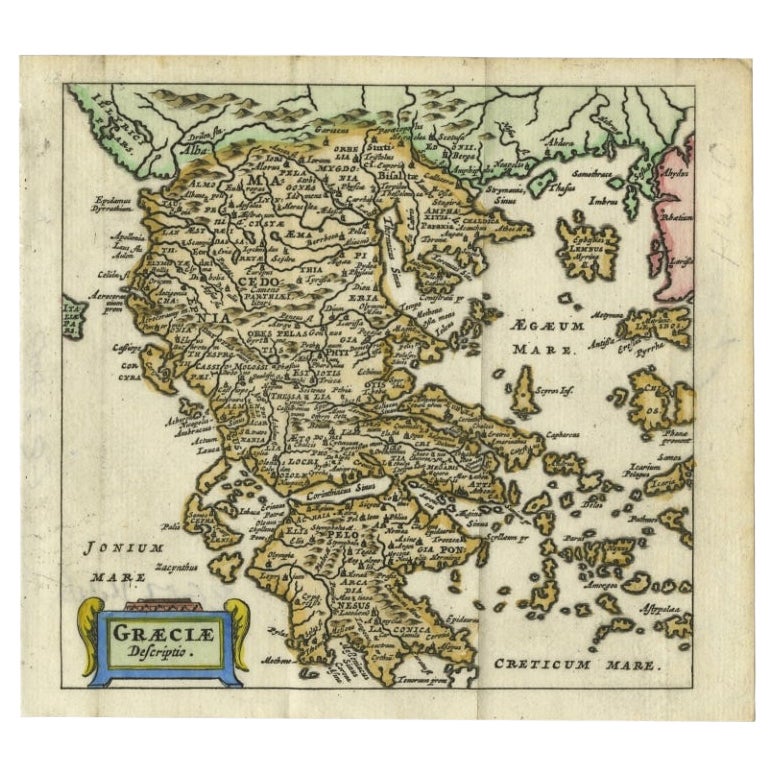
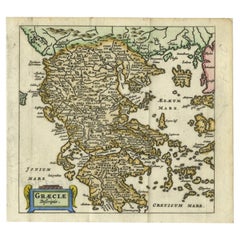
Charming 18th Century Miniature Map of Greece, 1685
Located in Langweer, NL
Antique map titled 'Graeciae Descriptio.' Charming miniature map of Greece from the pocket atlas 'Introductionis in Universam Geographiam tam Veterem qu...
Category
Antique 17th Century Maps
Materials
Paper
$334 Sale Price
20% Off
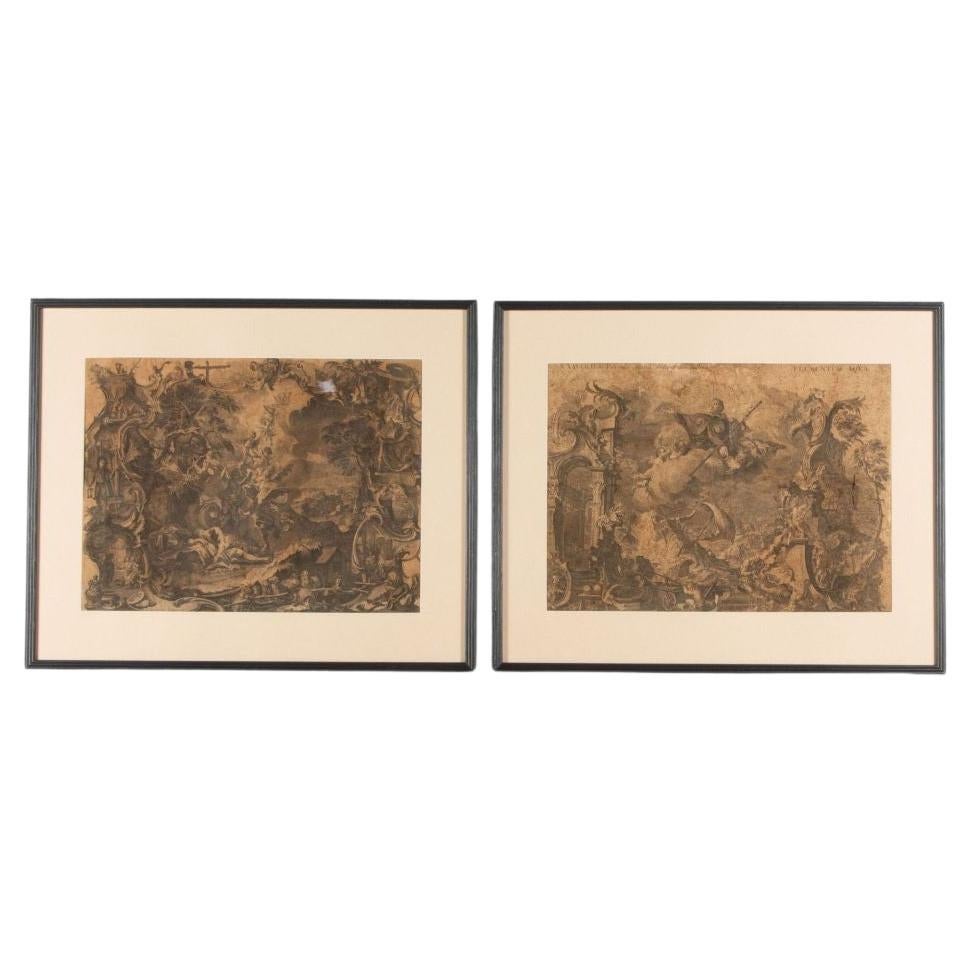
Pair of Framed Neoclassical Engravings, Late 18th Early 19th century
Located in MARSEILLE, FR
Pair of framed neoclassical engravings, after works painted by Jean Jacques François Le Barbier (1738 - 1826) and engraved by Jean-Jacques Avril (1744-1831), dated 1789 for the paint...
Category
Antique Late 18th Century French Neoclassical Prints
Materials
Wood, Paper
Hand-Colored 18th Century Homann Map of the Danube, Italy, Greece, Croatia
By Johann Baptist Homann
Located in Alamo, CA
"Fluviorum in Europa principis Danubii" is a hand colored map of the region about the Danube river created by Johann Baptist Homann (1663-1724) in his 'Atlas Novus Terrarum', publish...
Category
Antique Early 18th Century German Maps
Materials
Paper

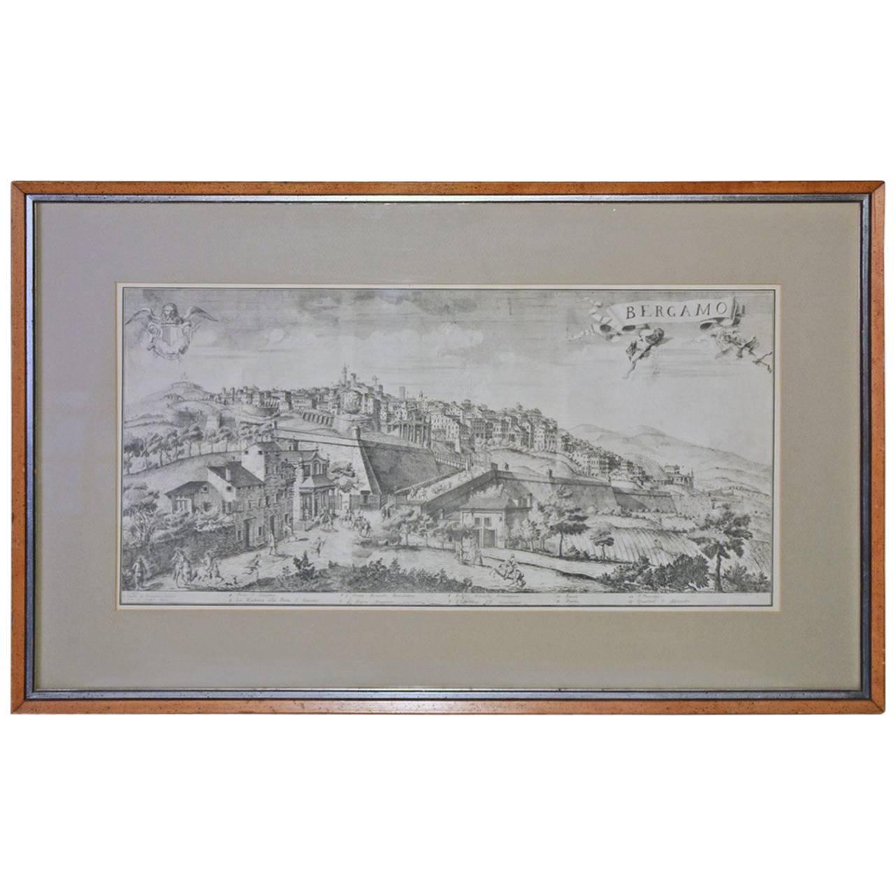
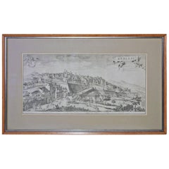
Framed Print of 18th Century Italian Scene
Located in Sheffield, MA
Beautifully matted and framed print is of an 18th century scene of Bergamo, Italy. The frame is of light wood with a silver inner edge. The mat is the color of mouse grey and gold ou...
Category
Antique Late 19th Century Italian Other Prints
Materials
Paper
Recently Viewed
View AllMore Ways To Browse
Medallion Tiffany
Meissen Porzellan
Memphis Teapot
Mercier Freres
Mercury Glass Urn
Metal Hutch
Mexican Votives
Mickey Lamp
Mid Century Broyhill Chest
Mid Century Candy Jar
Mid Century Desk Tambour
Mid Century Hippo
Mid Century Modern Office Trash Can
Mid Century Teak Headboard
Middle Eastern Tapestry
Mini Bar Cabinet
Minton Blue Vase
Modernist Teapot