Items Similar to Rare Antique Map of the Middle East, ca.1690


Want more images or videos?
Request additional images or videos from the seller
1 of 5
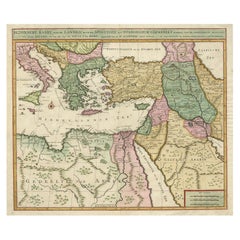
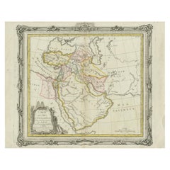
Rare Antique Map of the Middle East, ca.1690
About the Item
Description: Antique print, untitled.
Two decorative maps on one sheet of the middle east in biblical times. Source unknown, to be determined.
Artists and Engravers: Anonymous.
Condition:
Good. General age-related toning. Please study image carefully.
- Dimensions:Height: 12.21 in (31 cm)Width: 7.68 in (19.5 cm)Depth: 0 in (0.02 mm)
- Materials and Techniques:
- Period:1690-1699
- Date of Manufacture:circa 1690
- Condition:
- Seller Location:Langweer, NL
- Reference Number:
About the Seller
5.0
Platinum Seller
These expertly vetted sellers are 1stDibs' most experienced sellers and are rated highest by our customers.
Established in 2009
1stDibs seller since 2017
1,922 sales on 1stDibs
Typical response time: <1 hour
- ShippingRetrieving quote...Ships From: Langweer, Netherlands
- Return PolicyA return for this item may be initiated within 14 days of delivery.
More From This SellerView All
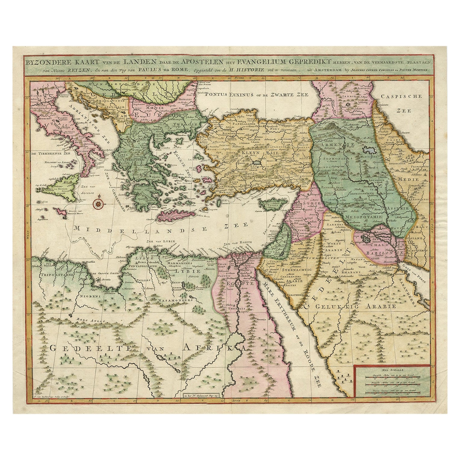
- Highly Decorative Map of The Eastern Mediterranean and The Middle East, ca.1700Located in Langweer, NLAntique map titled 'Byzondere Kaart van de Landen Daar de Apostelen Het Evangelium Gepredikt Hebben (..).' Highly decorative map of the eastern Mediterranean...Category
Antique Early 1700s Maps
MaterialsPaper
- Antique Bible Map of the Middle East by A. Schut, 1743Located in Langweer, NLAntique map titled 'De Gelegentheyt van 't Paradys en 't Landt Canaan'. Dutch Bible map covering the region between the Mediterranean and the Persian Gulf, ...Category
Antique Mid-18th Century Maps
MaterialsPaper
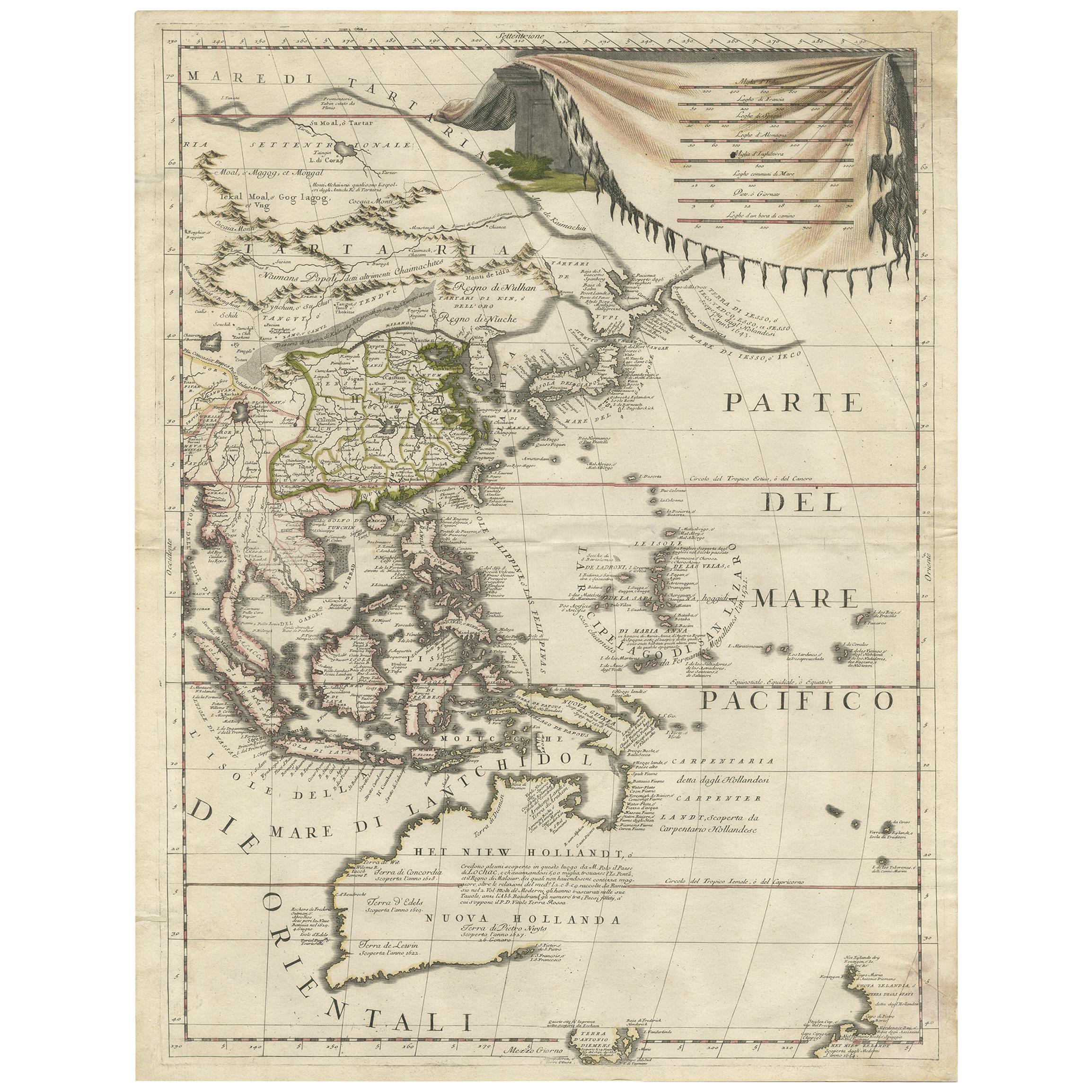
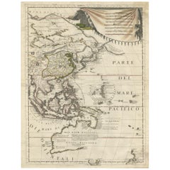
- Antique Map of East Asia by Coronelli, circa 1690Located in Langweer, NLAntique map of East Asia showing New Holland and parts of Van Diemens Land and New Zealand. This map is the right hand part of a two sheet map, but is complete on its own. This map o...Category
Antique Late 17th Century Maps
MaterialsPaper
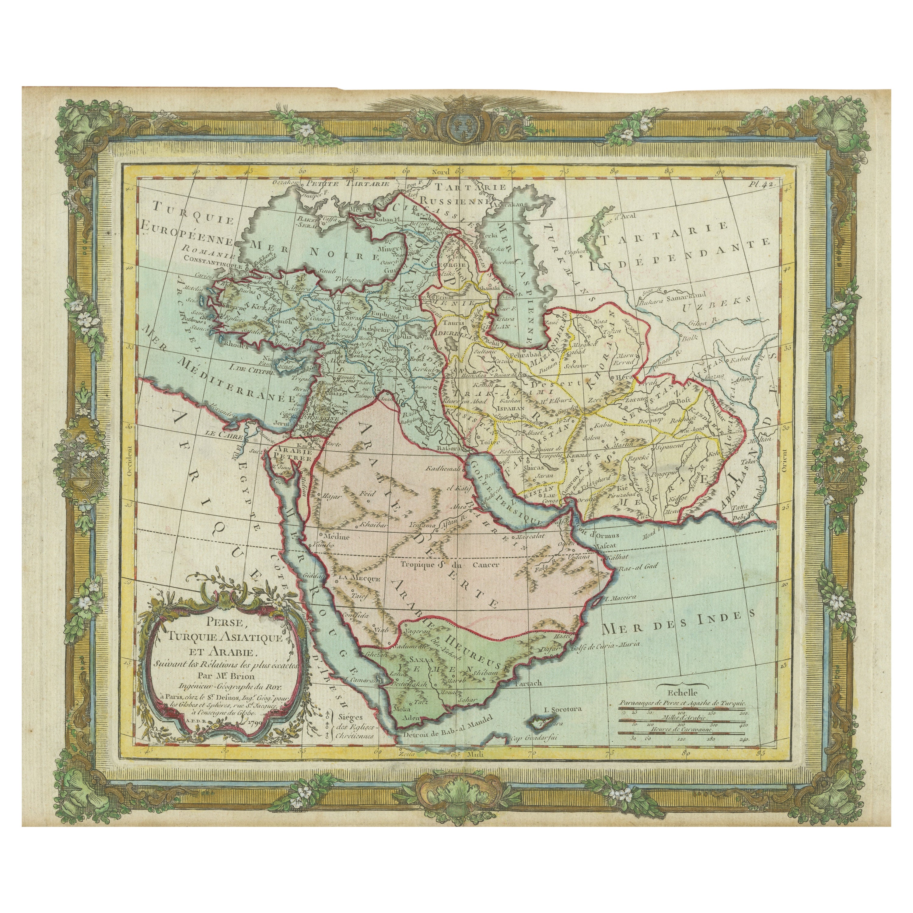
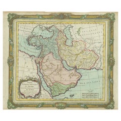
- Antique Map of the Middle East with a Large Arabia, 1799Located in Langweer, NLAntique map titled 'Perse, Turquie Asiatique et Arabie (..)'. Map of the Middle East with a large Arabia, extending from the Black Sea to the Indian Ocean and from the Red Sea to Per...Category
Antique Late 18th Century Maps
MaterialsPaper
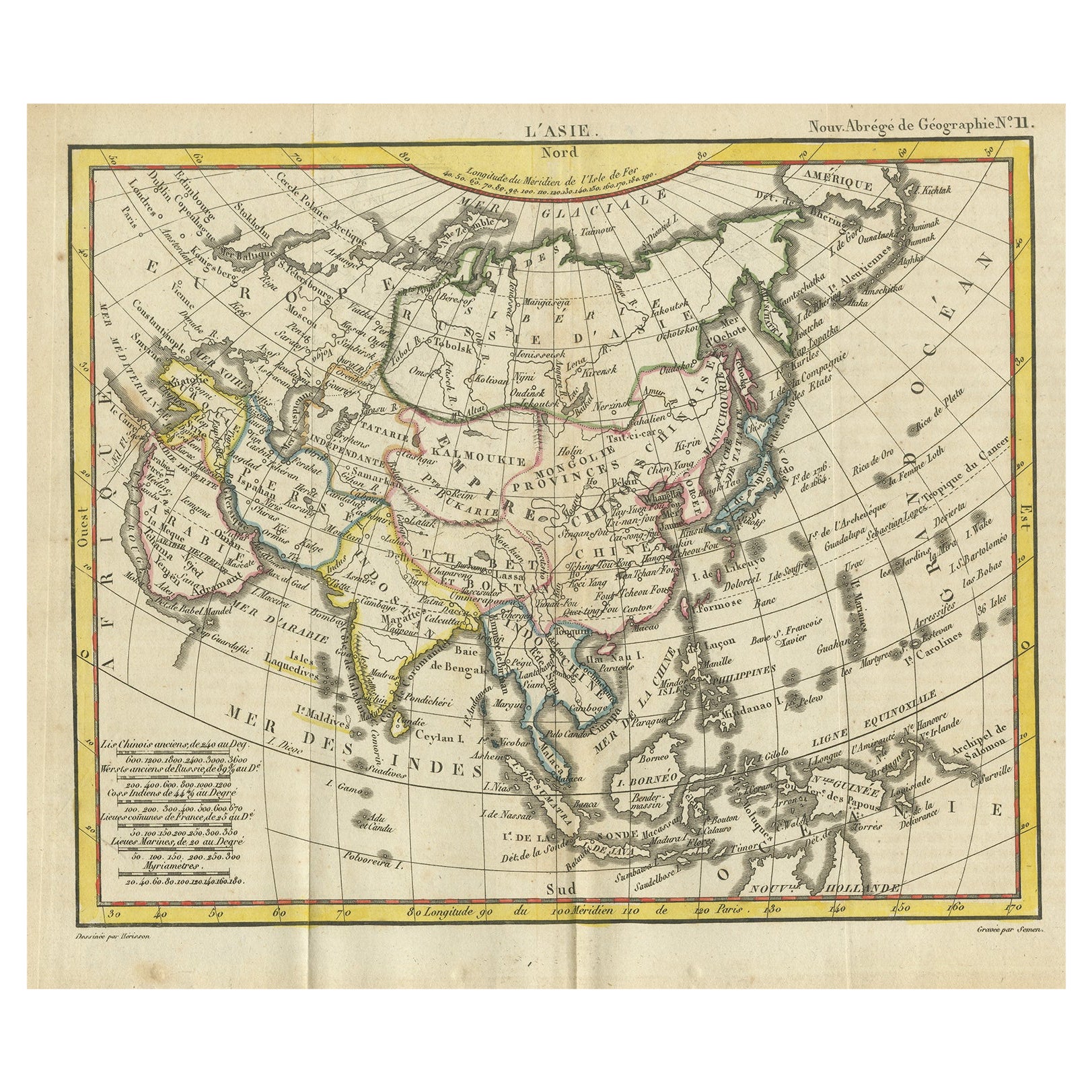
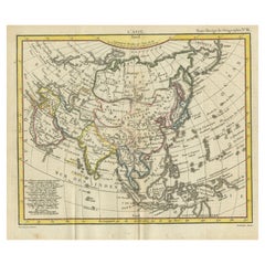
- Antique Map of Asia from the Middle East to the Coast of Alaska, 1816Located in Langweer, NLAntique map titled ‘L’Asie‘. This is an original antique map of Asia, by Hérisson, taken from atlas ""Nouv. Abrége de Géographie"". An engraved map with coloring of Asia from the Mid...Category
Antique 19th Century Maps
MaterialsPaper
- Antique Map of the Middle East by Brion de la Tour '1772'Located in Langweer, NLAntique map titled 'Carte des Pays et Principaux Lieux (..)'. Original antique map of Middle East, extending to the Red Sea, Egypt, the Eastern Medi...Category
Antique Late 18th Century Maps
MaterialsPaper

You May Also Like
- Original Antique Map of South East Asia, Arrowsmith, 1820Located in St Annes, LancashireGreat map of South East Asia Drawn under the direction of Arrowsmith Copper-plate engraving Published by Longman, Hurst, Rees, Orme and Brown, 1820 Unframed.Category
Antique 1820s English Maps
MaterialsPaper
- Original Antique Map of South East Asia by Thomas Clerk, 1817Located in St Annes, LancashireGreat map of South East Asia Copper-plate engraving Drawn and engraved by Thomas Clerk, Edinburgh. Published by Mackenzie And Dent, 1817 Unframed.Category
Antique 1810s English Maps
MaterialsPaper
- Original Antique Map of South East Asia by Becker, circa 1840Located in St Annes, LancashireGreat map of South East Asia Steel engraving with original color outline Engraved by Becker Published by Virtue, circa 1840. Unframed.Category
Antique 1840s English Other Maps
MaterialsPaper
- Original Antique English County Map, East Yorkshire, J & C Walker, 1851Located in St Annes, LancashireGreat map of The East Riding of Yorkshire Original colour By J & C Walker Published by Longman, Rees, Orme, Brown & Co. 1851 Unframed.Category
Antique 1850s English Other Maps
MaterialsPaper
- Map of the Republic of GenoaLocated in New York, NYFramed antique hand-coloured map of the Republic of Genoa including the duchies of Mantua, Modena, and Parma. Europe, late 18th century. Dimension: 25...Category
Antique Late 18th Century European Maps
- Antique Map of Principality of MonacoBy Antonio Vallardi EditoreLocated in Alessandria, PiemonteST/619 - "Old Geographical Atlas of Italy - Topographic map of ex-Principality of Monaco" - ediz Vallardi - Milano - A somewhat special edition ---Category
Antique Late 19th Century Italian Other Prints
MaterialsPaper


Recently Viewed
View AllMore Ways To Browse
Biblical Antiques
Middle East Antique Map
Antique Map Middle East
Middle East Maps
Map Of Middle East
Biblical Maps
Glass Front Display Cabinets
Glass Fronted Display Cabinets
Glass Front Display Cabinet
Three Piece Suit
Antique Type Cabinet
18th Century Italian Doors
Deco Cabinet Antique Furniture
Door Double Panel
Mid Century Chinese Cabinet
Flower Carved Cabinet
Clothing Bar
Antique Display Cabinet France