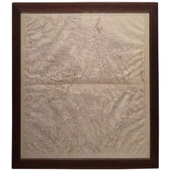
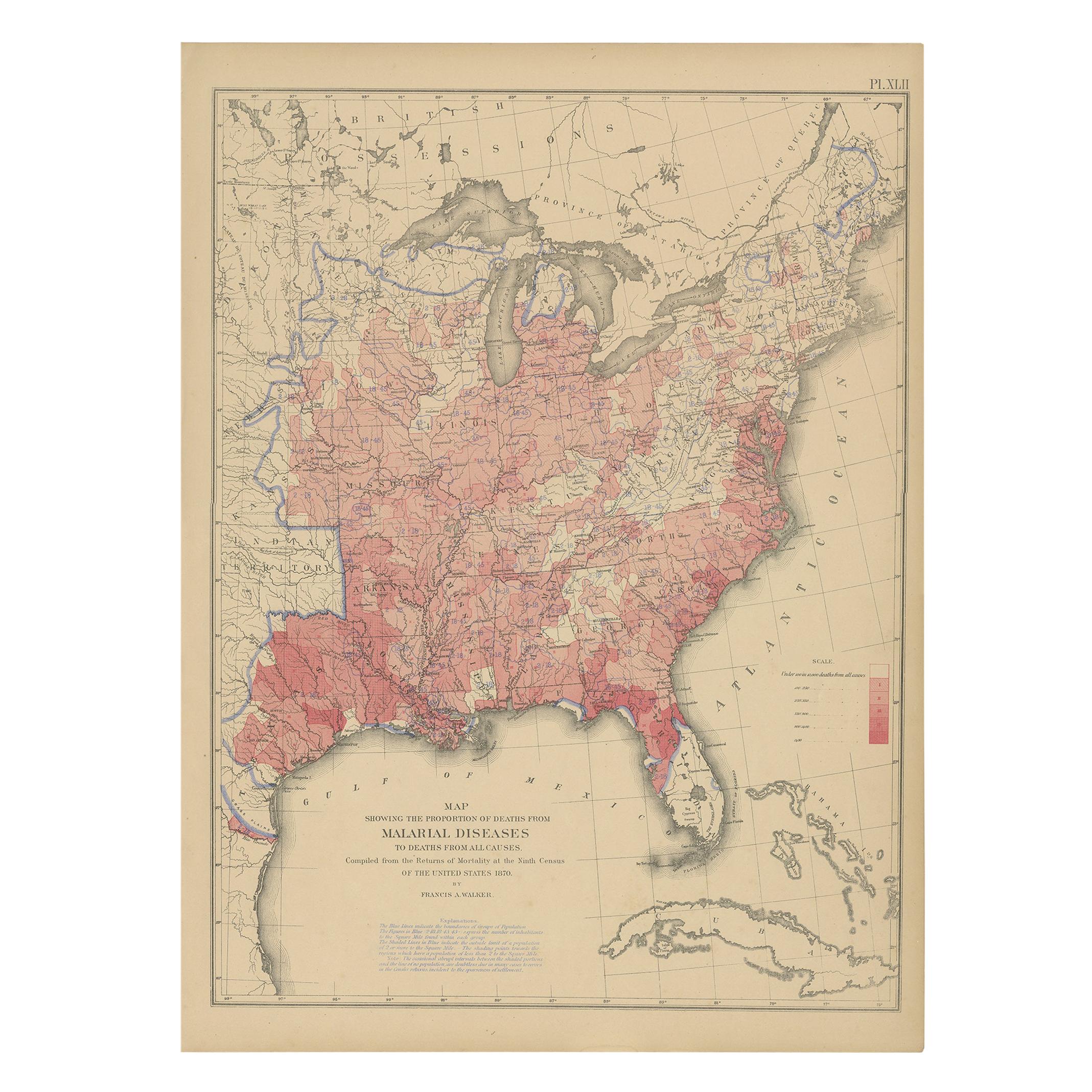
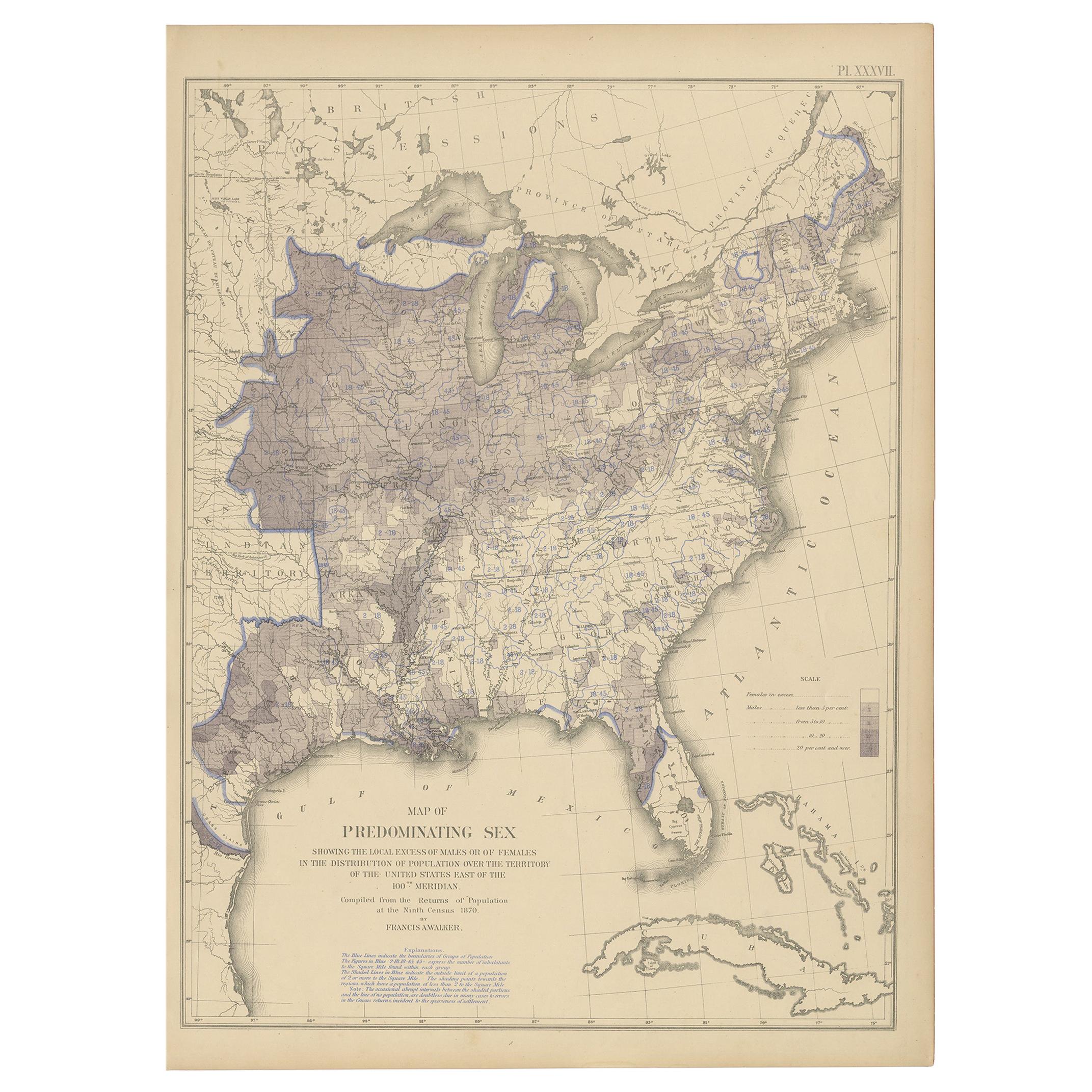
River Charts
View Similar Items

1 of 3
River Charts
About the Item
- Dimensions:Height: 28.25 in (71.76 cm)Width: 26.25 in (66.68 cm)
- Materials and Techniques:
- Place of Origin:
- Period:
- Date of Manufacture:19th century
- Condition:
- Seller Location:West Hollywood, CA
- Reference Number:Seller: NTAI3931stDibs: LU85691190636
You May Also Like
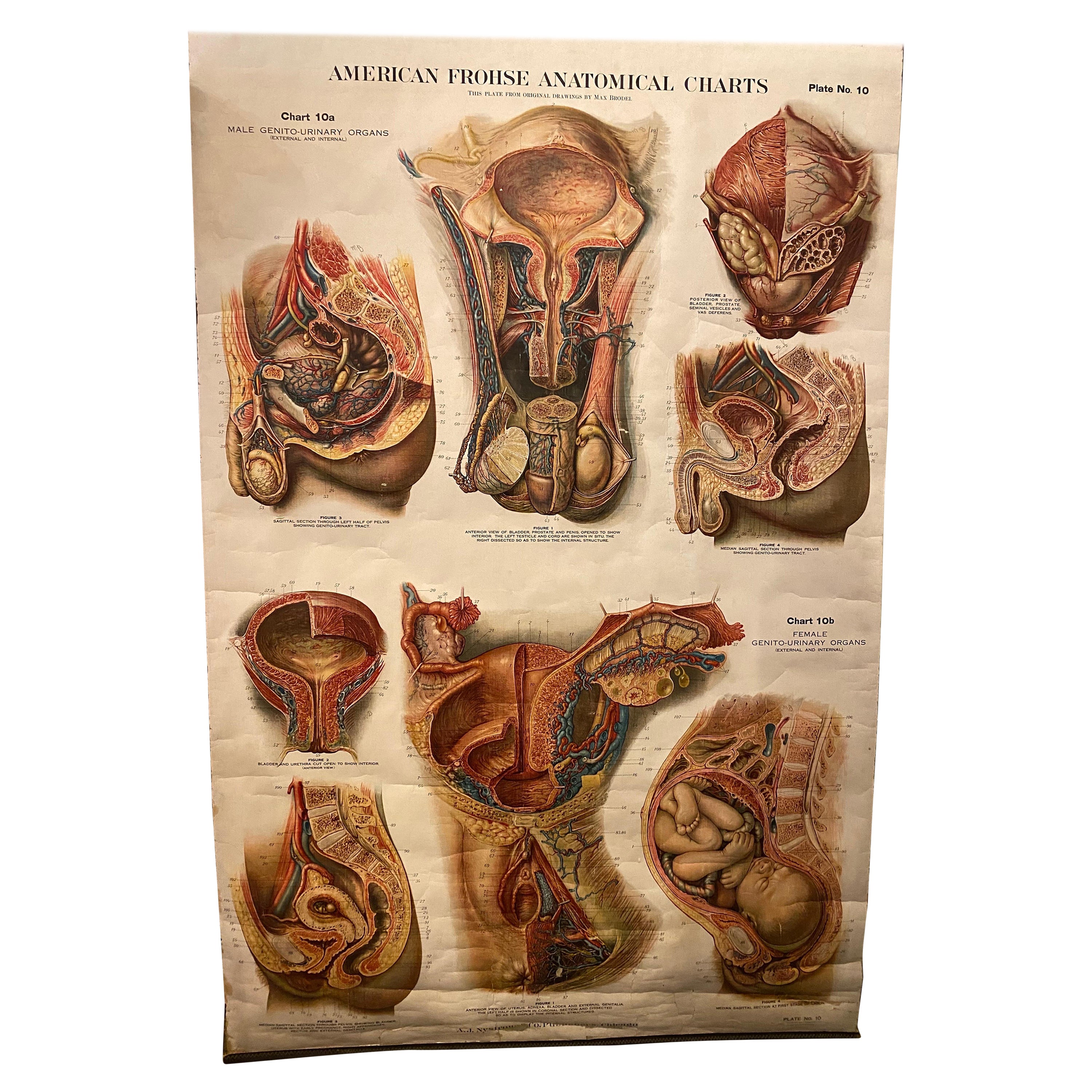
- Genito-Urinary Anatomical Chart Fritz FrohseBy Nystrom / Frohse Art, Fritz FrohseLocated in Philadelphia, PAGenito-Urinary Anatomical Chart by Fritz Frohse. Dated 1922. Paper mounted on canvas. Shows wear but still presents very well!Category
Vintage 1920s German American Classical Prints
MaterialsCanvas, Paper
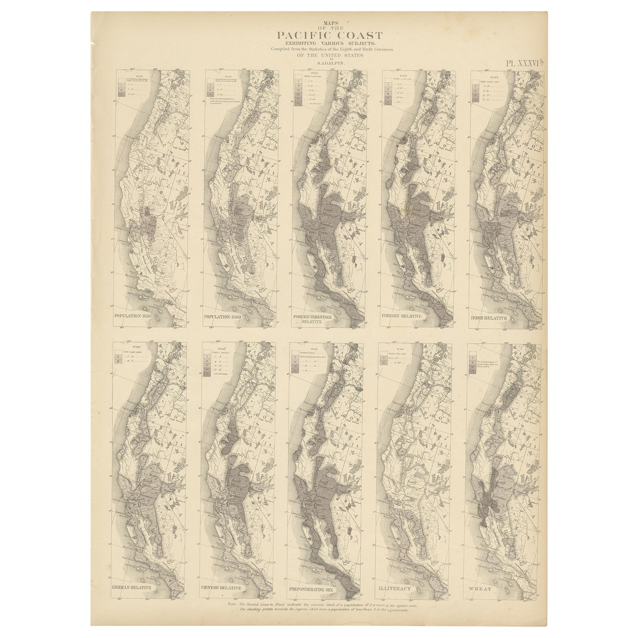
- Antique Chart of the Pacific Coast '1874'Located in Langweer, NLAntique chart titled 'Maps of the Pacific Coast exhibiting various subjects. Compiled from the statistics of the eight and ninth census of the United Sta...Category
Antique Late 19th Century Maps
MaterialsPaper
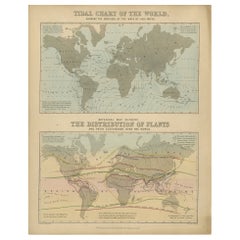
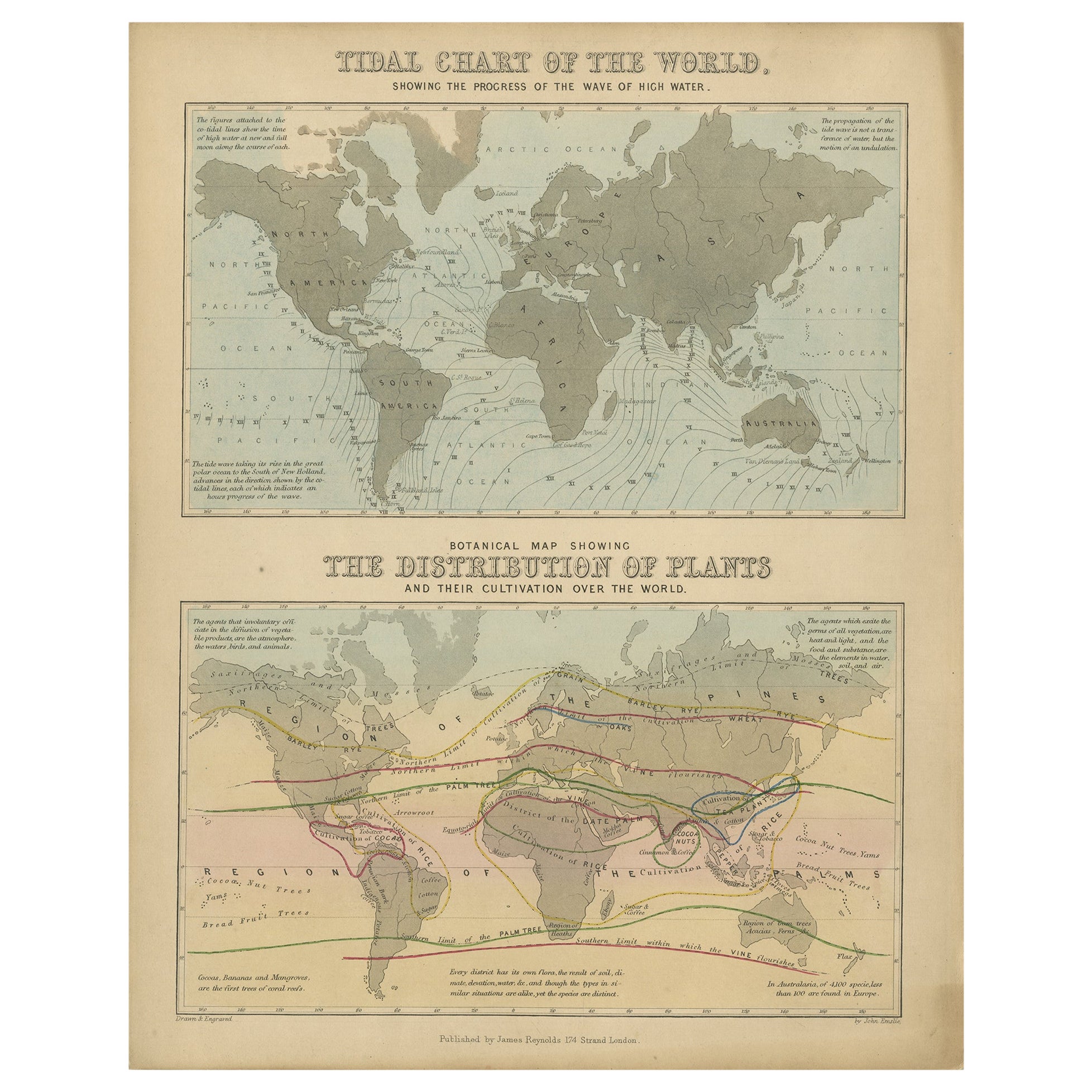
- Antique Tidal Chart and Botanical Map, 1843Located in Langweer, NLTwo antique world maps on one sheet. The upper map is a tidal chart of the world and shows the progress of the wave of high water. The lower botanical map shows the distribution of p...Category
Antique 19th Century Maps
MaterialsPaper
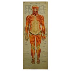
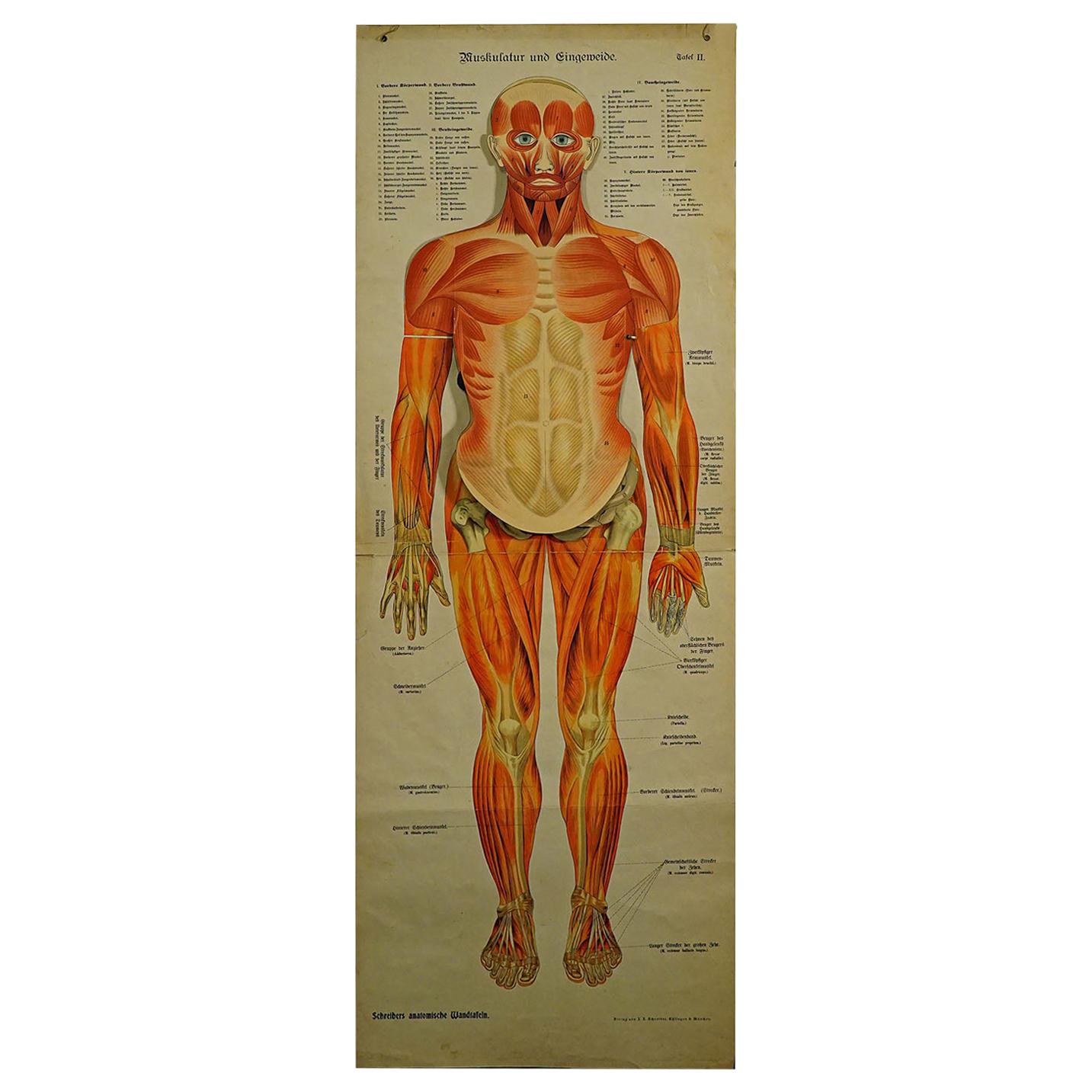
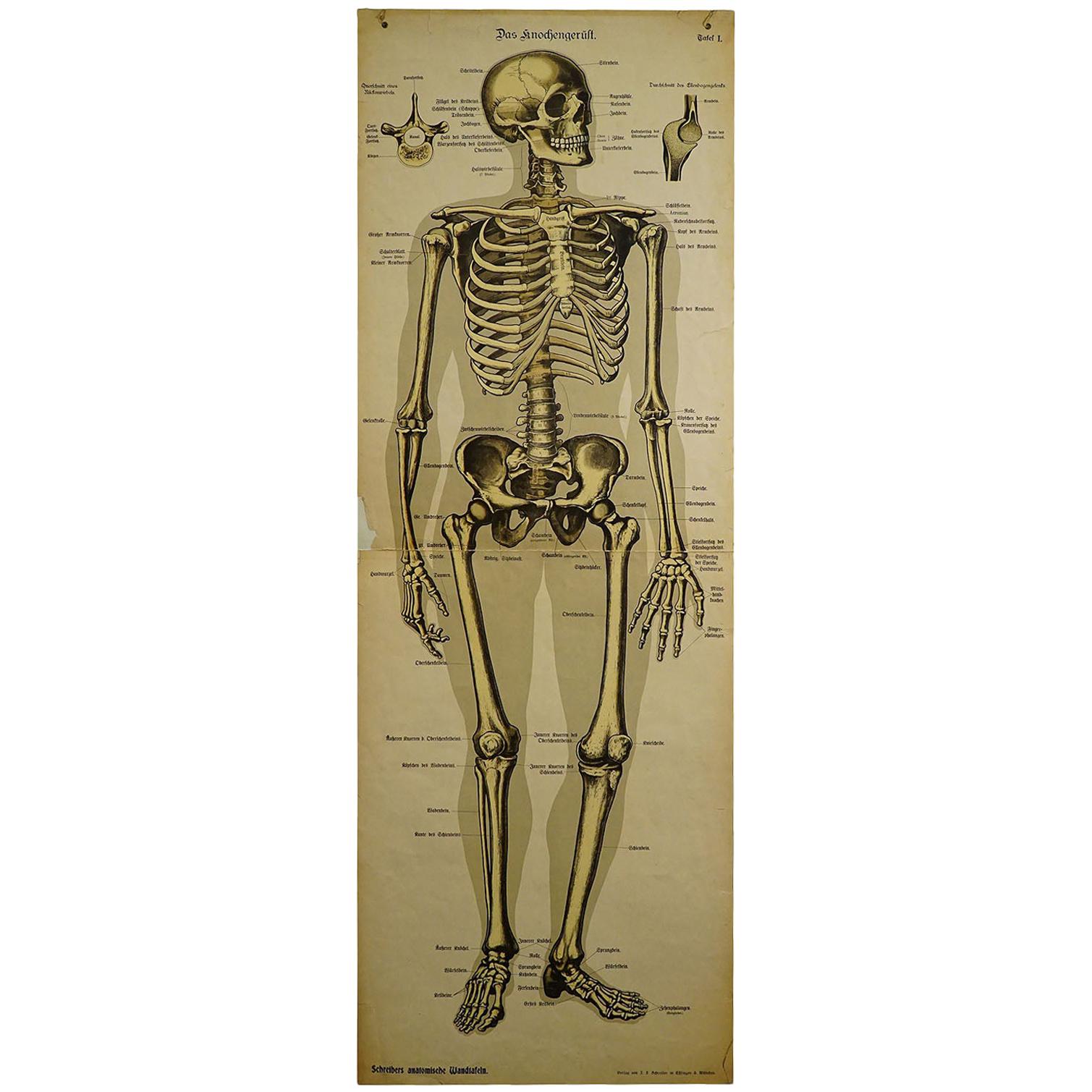
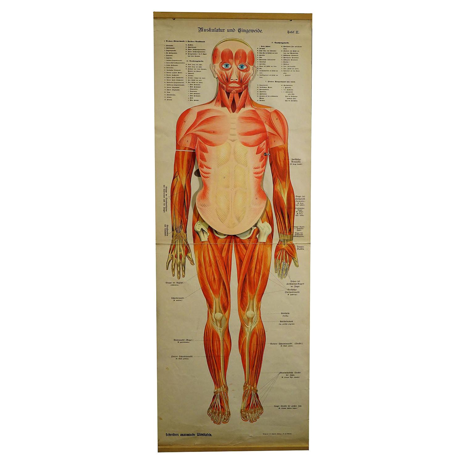
- Foldable Anatomical Wall Chart Depicting Human MusculatureLocated in Berghuelen, DEA rare 19th century anatomical wall chart depicting human musculature and internal organs. With removable multicolored human organs like lung, heart, l...Category
Early 20th Century German Victorian Prints
MaterialsPaper
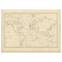
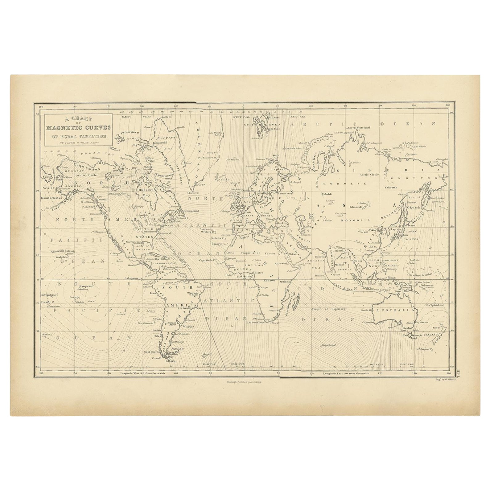
- Antique Chart with Isomagnetic Lines by Black, 1854Located in Langweer, NLAntique map titled 'A Chart of Magnetic Curves of Equal Variation'. Chart with isomagnetic lines on continents, except for North America. This map orginates from 'General Atlas Of Th...Category
Antique 19th Century Prints
MaterialsPaper
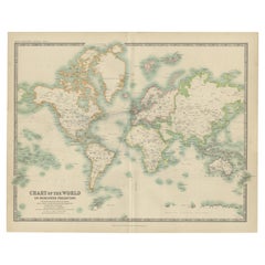
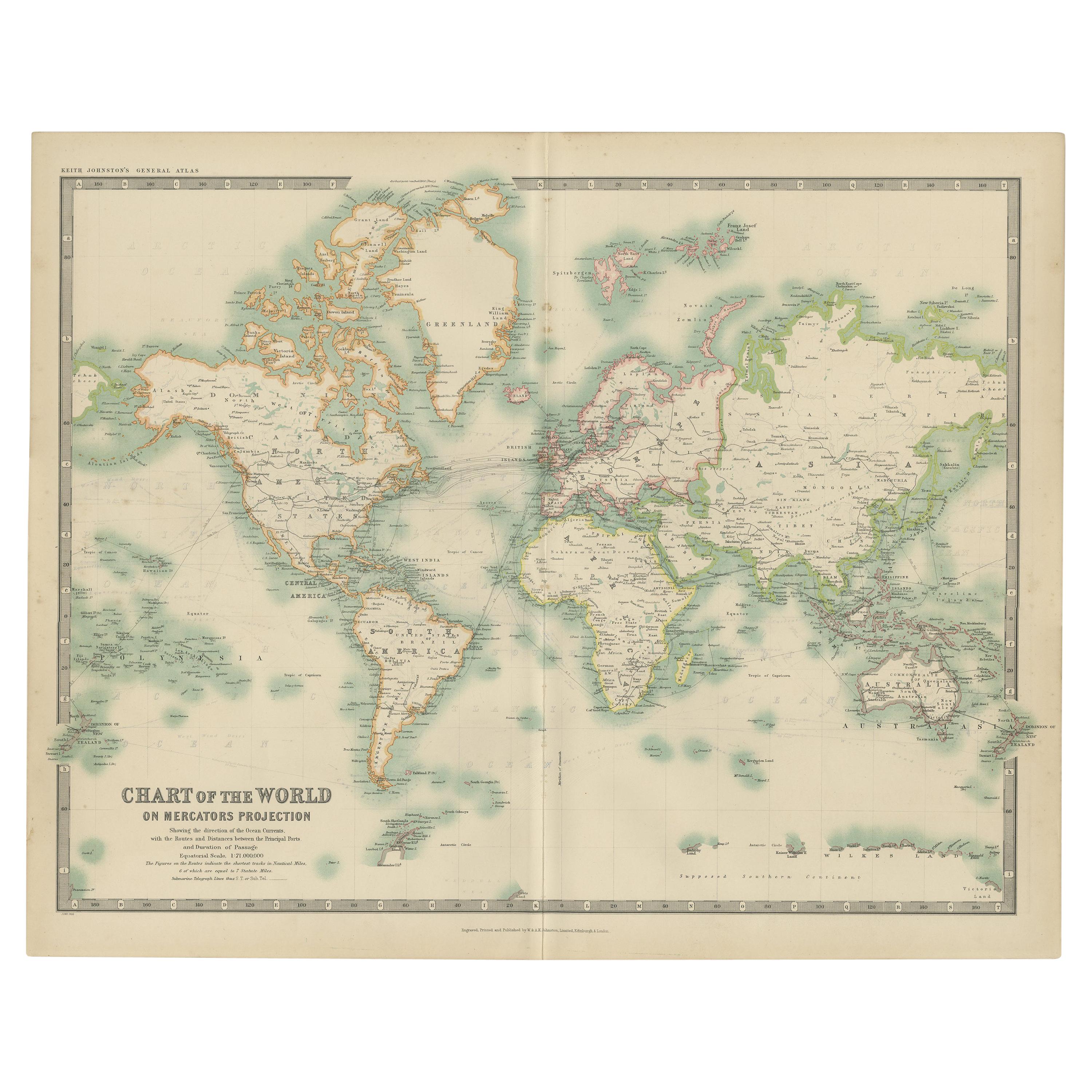
- Antique Chart of the World by Johnston '1909'Located in Langweer, NLAntique map titled 'Chart of the World on Mercator's Projection Showing the directions of the Oceans Currents with the Routes and Distances Between Principal Ports'. Detailed map of ...Category
Early 20th Century Maps
MaterialsPaper