
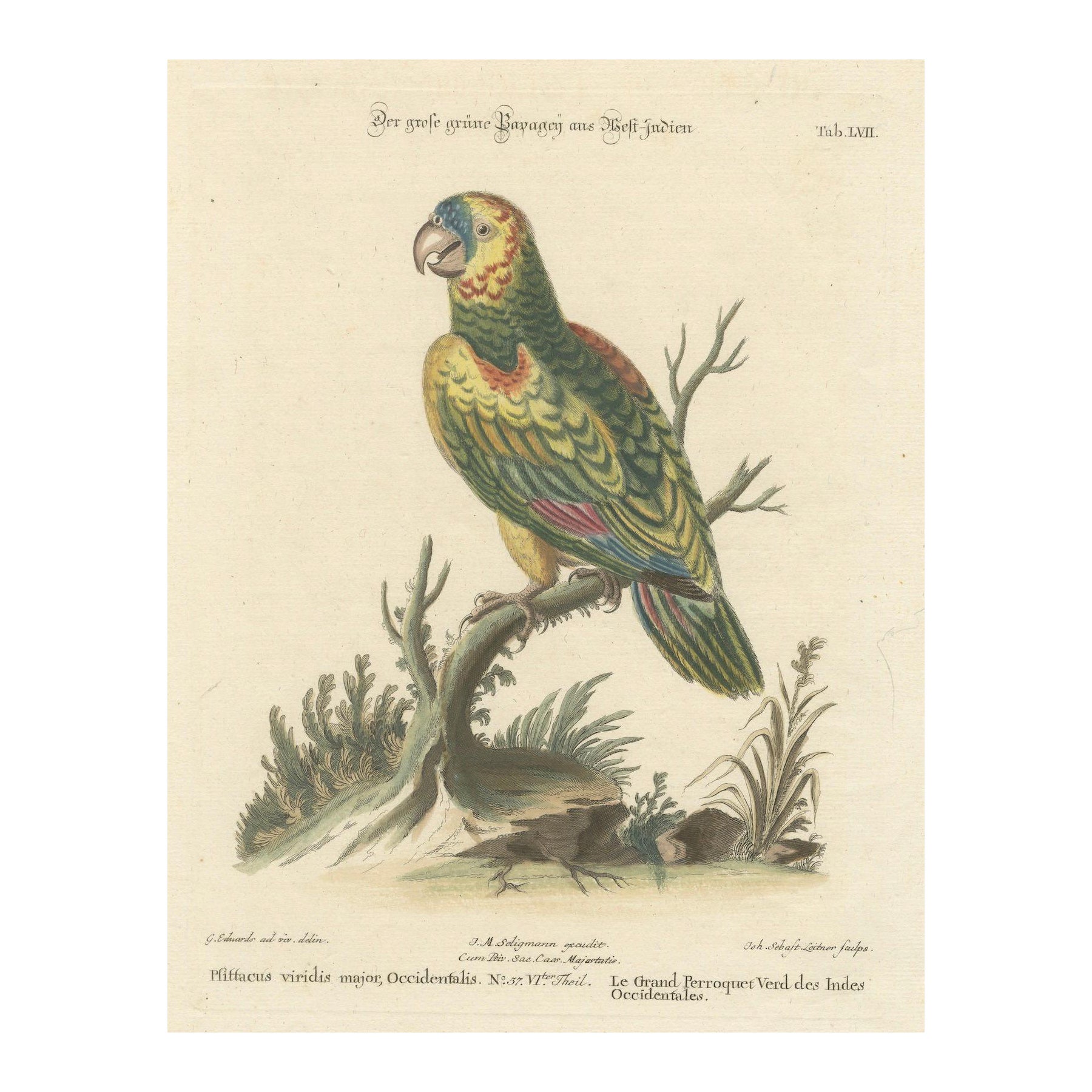
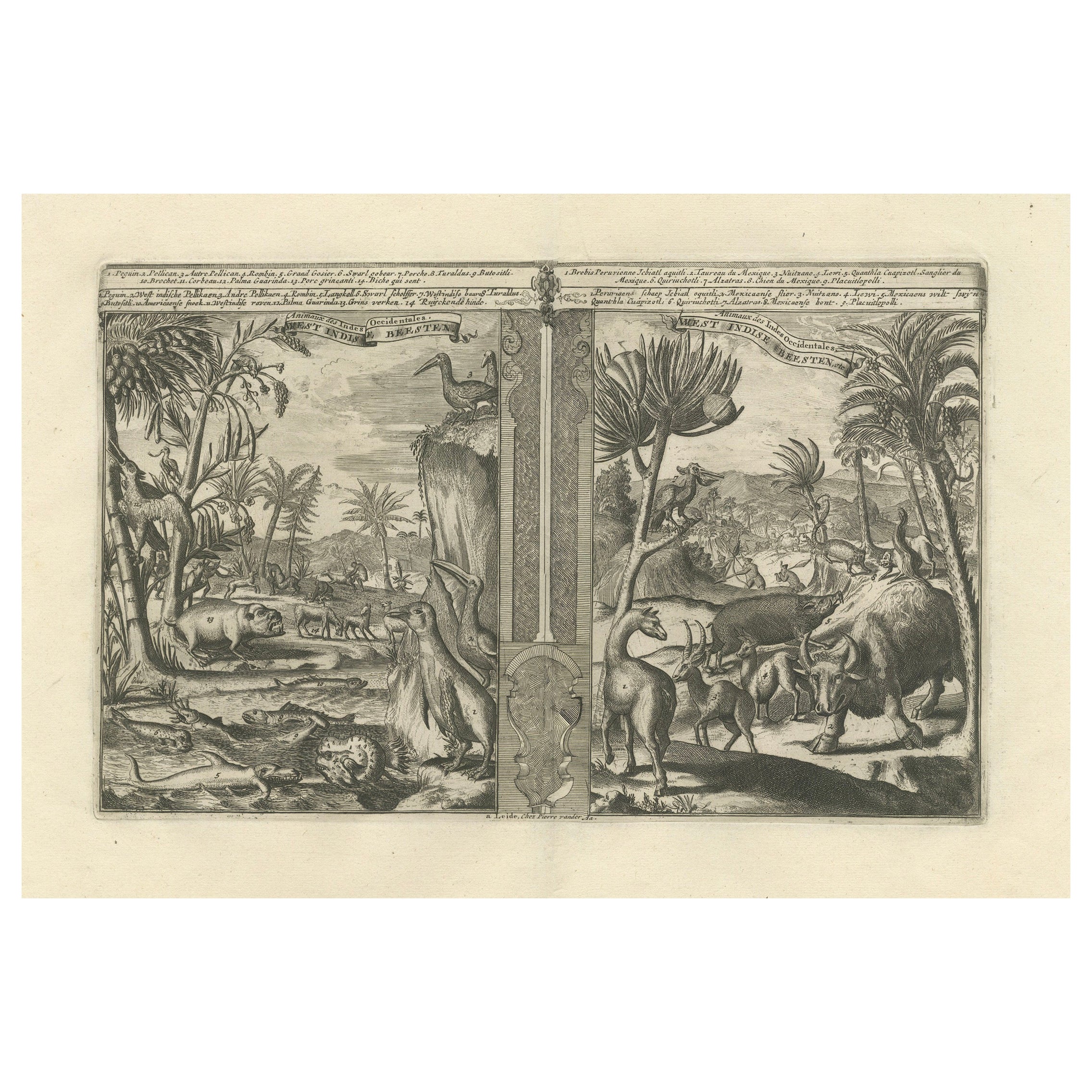
Set of Four English Prints of the West Indies
View Similar Items


1 of 12
Set of Four English Prints of the West Indies
About the Item
- Creator:Edward Orme (Illustrator)
- Dimensions:Height: 24.5 in (62.23 cm)Width: 28 in (71.12 cm)Depth: 1 in (2.54 cm)
- Sold As:Set of 4
- Style:Early Victorian (In the Style Of)
- Materials and Techniques:
- Place of Origin:
- Period:
- Date of Manufacture:1807
- Condition:Wear consistent with age and use.
- Seller Location:Stamford, CT
- Reference Number:Seller: DECORATIVE ANTIQUES & HOUSE ANTIQUES1stDibs: LU862314156102
Authenticity Guarantee
In the unlikely event there’s an issue with an item’s authenticity, contact us within 1 year for a full refund. DetailsMoney-Back Guarantee
If your item is not as described, is damaged in transit, or does not arrive, contact us within 7 days for a full refund. Details24-Hour Cancellation
You have a 24-hour grace period in which to reconsider your purchase, with no questions asked.Vetted Professional Sellers
Our world-class sellers must adhere to strict standards for service and quality, maintaining the integrity of our listings.Price-Match Guarantee
If you find that a seller listed the same item for a lower price elsewhere, we’ll match it.Trusted Global Delivery
Our best-in-class carrier network provides specialized shipping options worldwide, including custom delivery.You May Also Like
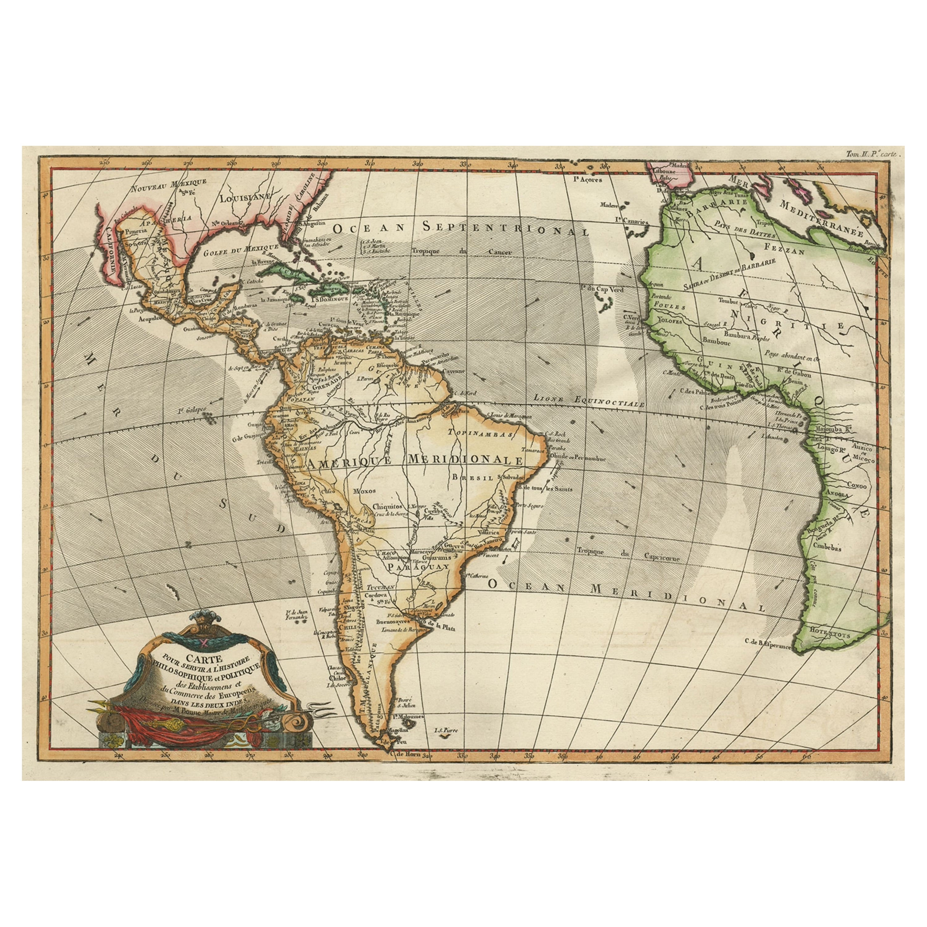
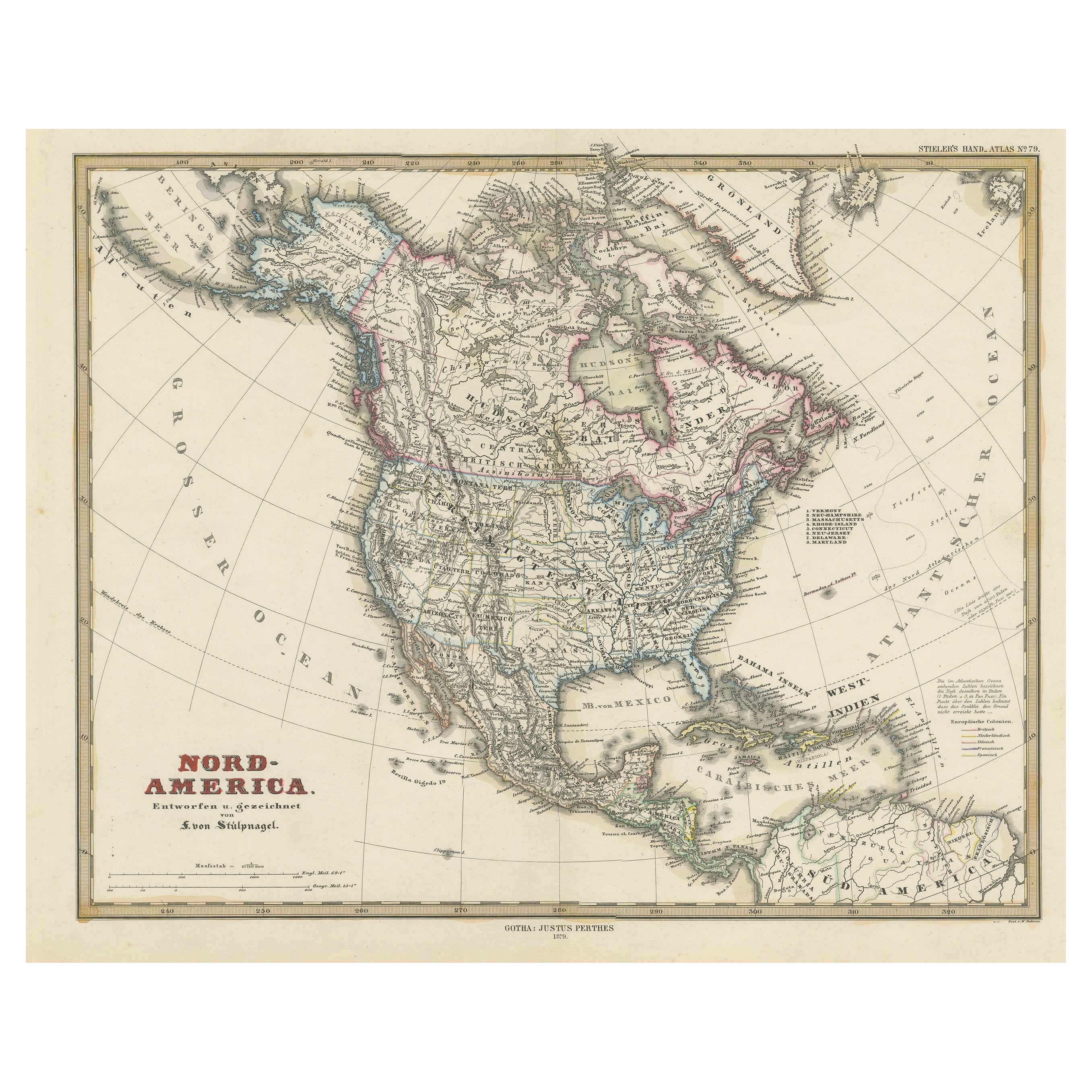
Antique Map of North America Including the West Indies
Located in Langweer, NL
Original antique map titled 'Nord-America'. Old map of North America and the West Indies. Also showing British Overseas Territories and Hudson Bay.
This map originates from Stiel...
Category
Antique Mid-19th Century Maps
Materials
Paper

$526 Sale Price
20% Off
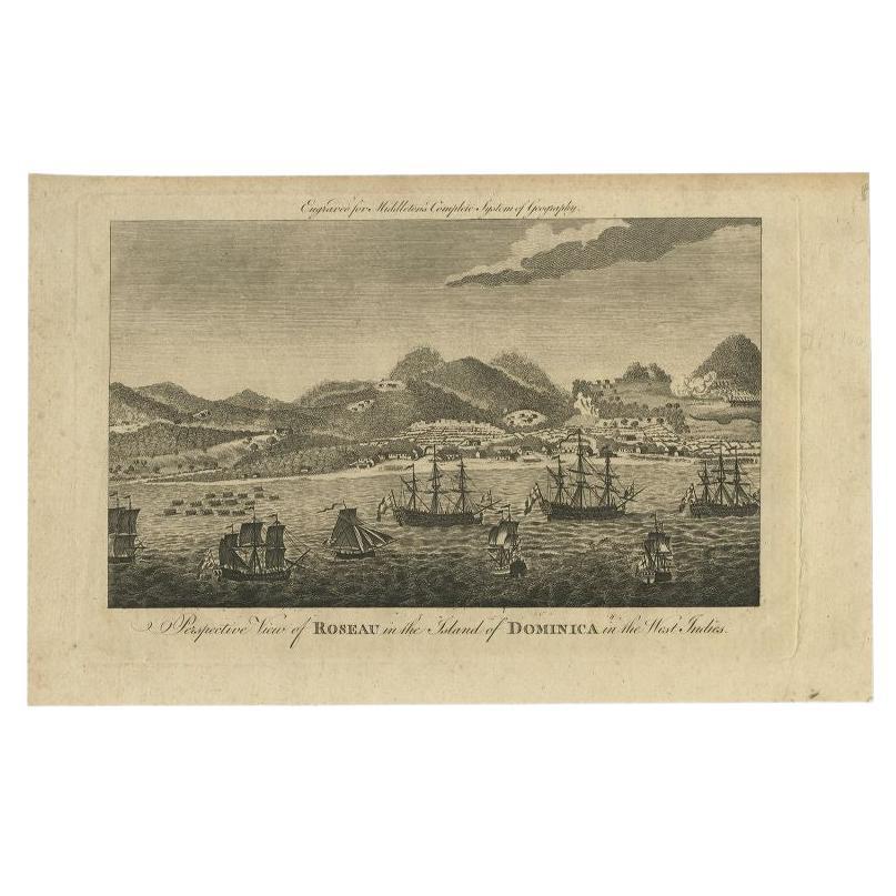
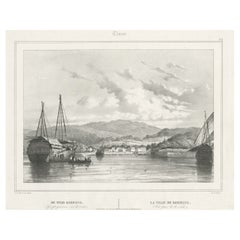
Antique Print of Roseau, Place in Dominica Island in the West-Indies, 1779
Located in Langweer, NL
Antique print titled 'Perspective View of Roseau in the Island of Dominica in the West Indies.' View of Roseau with ships on the foreground Dominica. Originates from 'Middleton's New...
Category
Antique 18th Century Prints
Materials
Paper

$163 Sale Price
20% Off
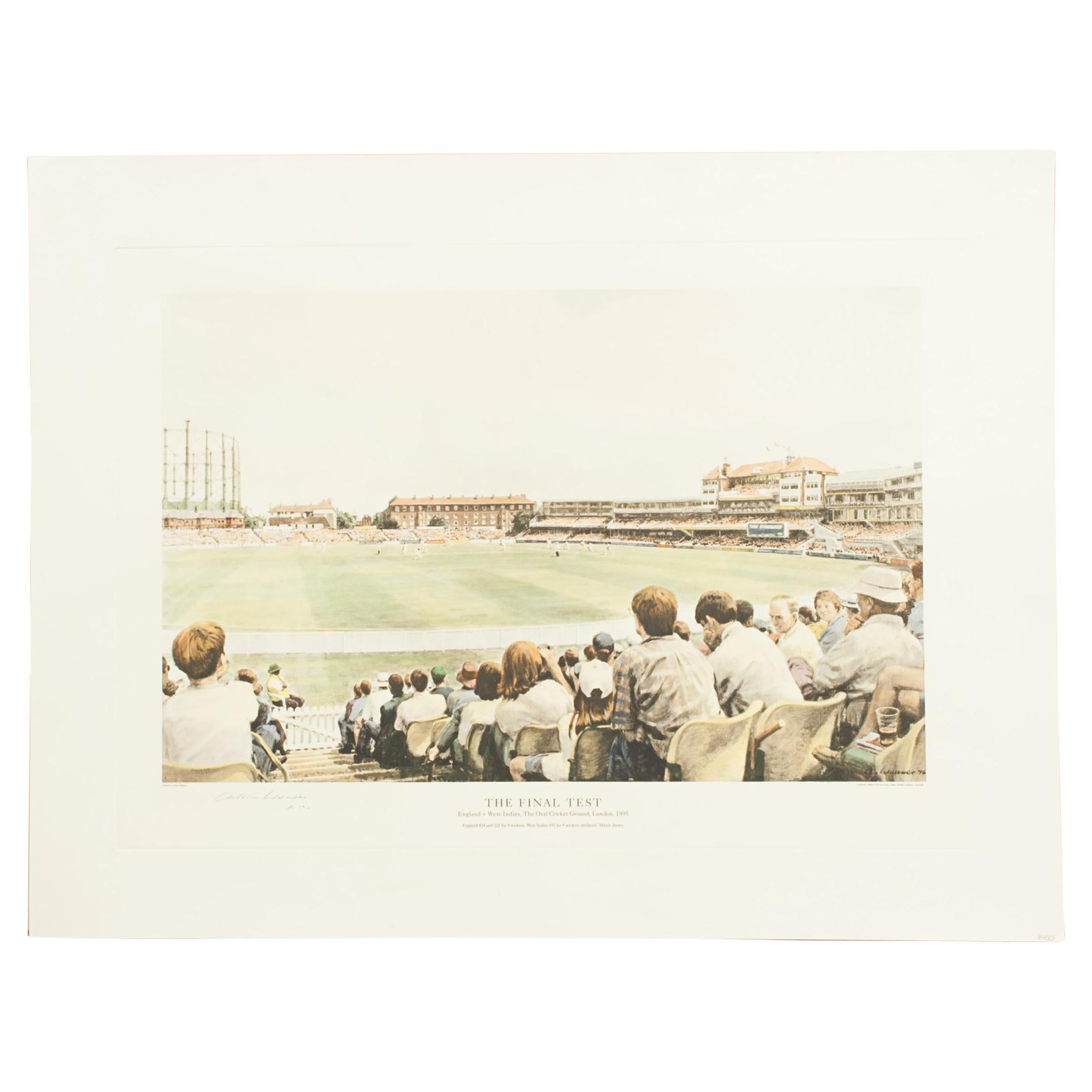
Cricket Print, England v. West Indies at the Oval, by Arthur Weaver
By Arthur Weaver
Located in Oxfordshire, GB
1990's Arthur Weaver Oval Cricket Ground Print, England v West Indies.
A colourful cricket lithograph signed by the artist, Arthur Weaver, of the 'Final Test' at The Oval Cricket Gr...
Category
1990s English Sporting Art Sports Equipment and Memorabilia
Materials
Paper

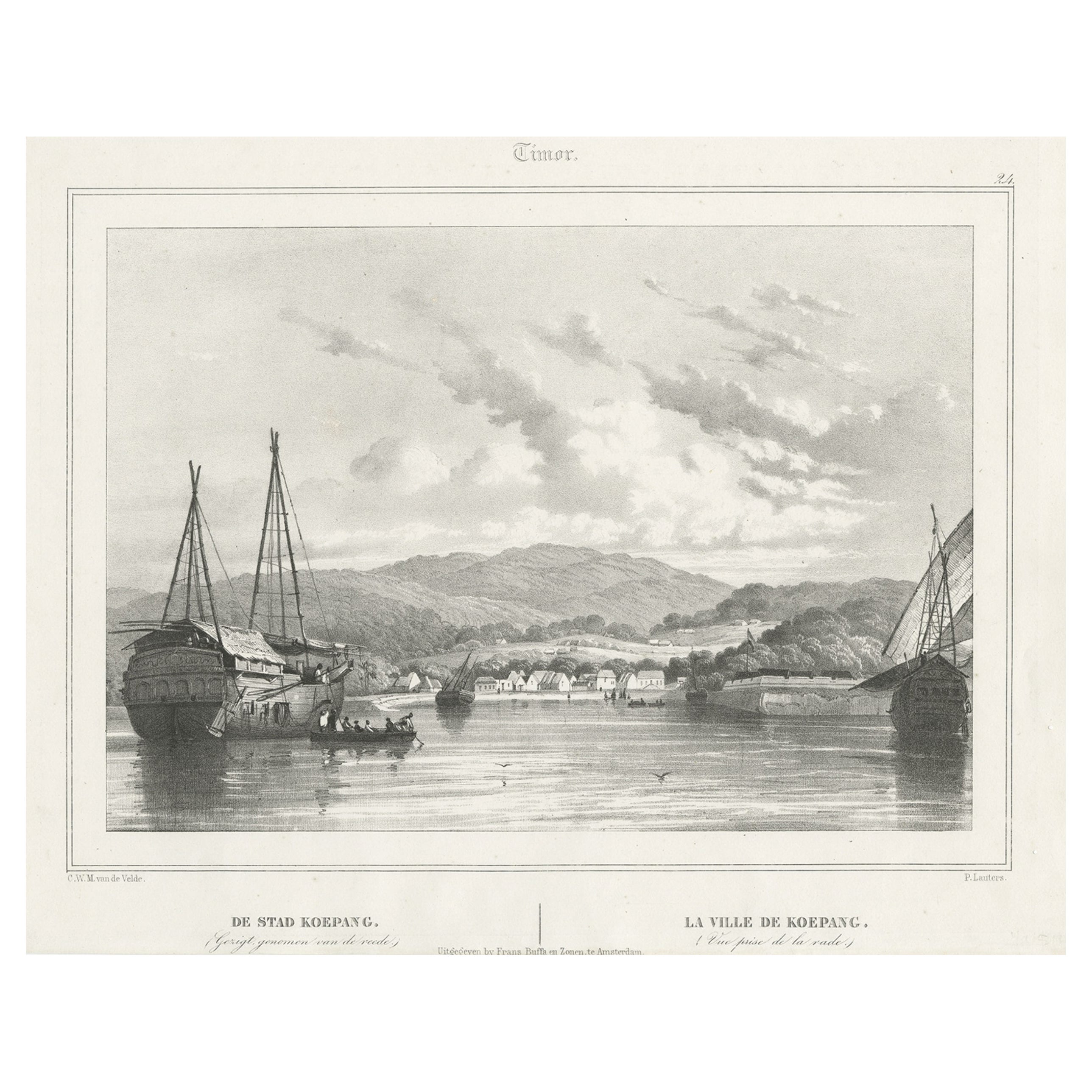
Antique Print of Kupang or Koepang in the East Indies, Now West-Timor, Indonesia
Located in Langweer, NL
Antique print Timor titled 'De Stad Koepang, La Ville de Koepang'. View of the town of Koepang / Concordia / Kupang on the Island of Timor, Indonesia. Originates from 'Gezigten uit Neerlands Indie, naar de natuur geteekend en beschreven.', by C.W.M. van de Velde, published in Amsterdam, Frans Buffa en Zonen (1844-1845).
Artists and Engravers: Charles William Meredith van de Velde (1818-1898) was a Dutch...
Category
Antique 19th Century Prints
Materials
Paper
$371 Sale Price
20% Off
Antique Map of the West Indies in Full Color, 1922
Located in Langweer, NL
Antique map titled 'The West Indies.' A map of the West Indies, the Carribean region. This includes the Greater Antilles (Jamaica, Haiti, Puerto Rico and Cuba) and the Lesser Antille...
Category
20th Century Maps
Materials
Paper
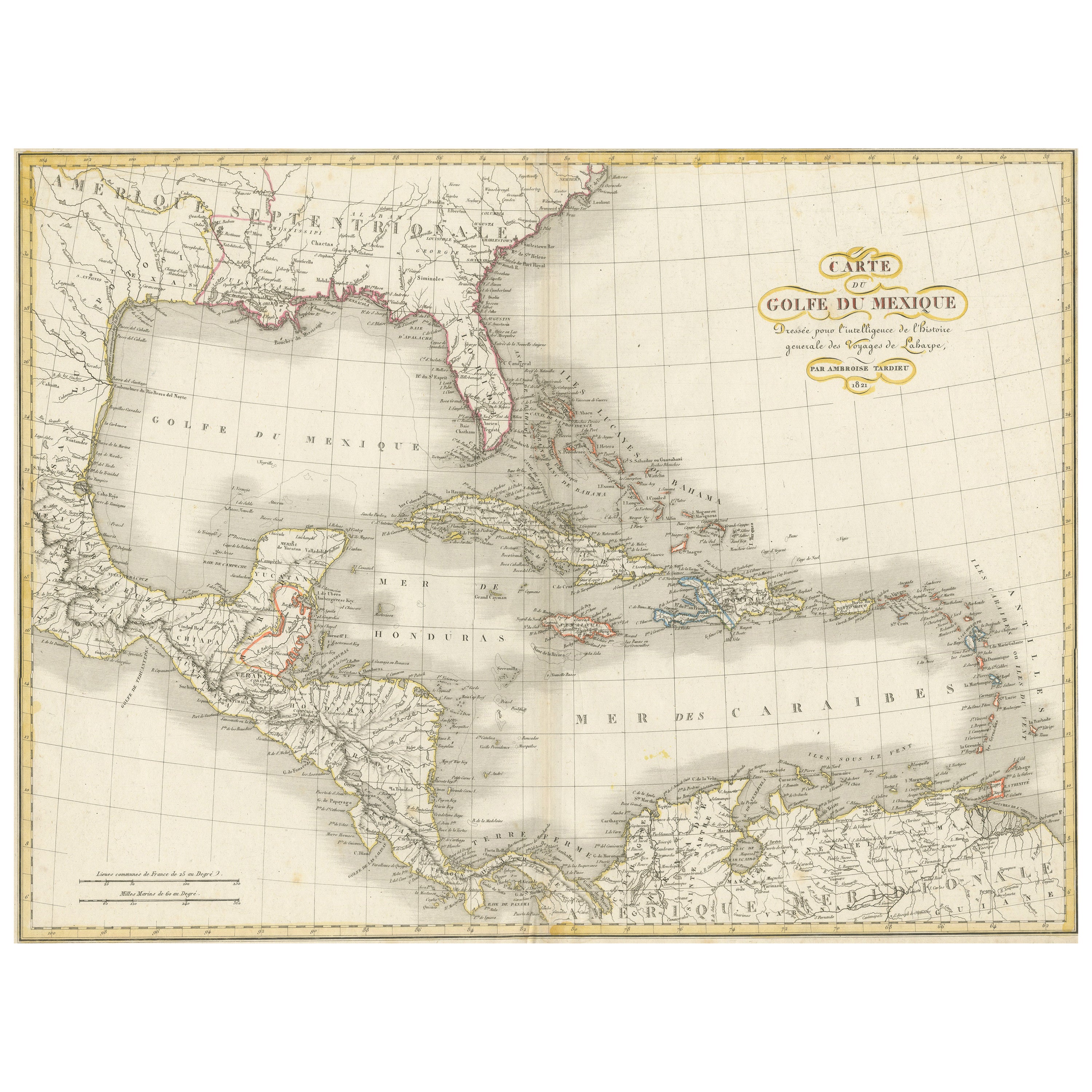
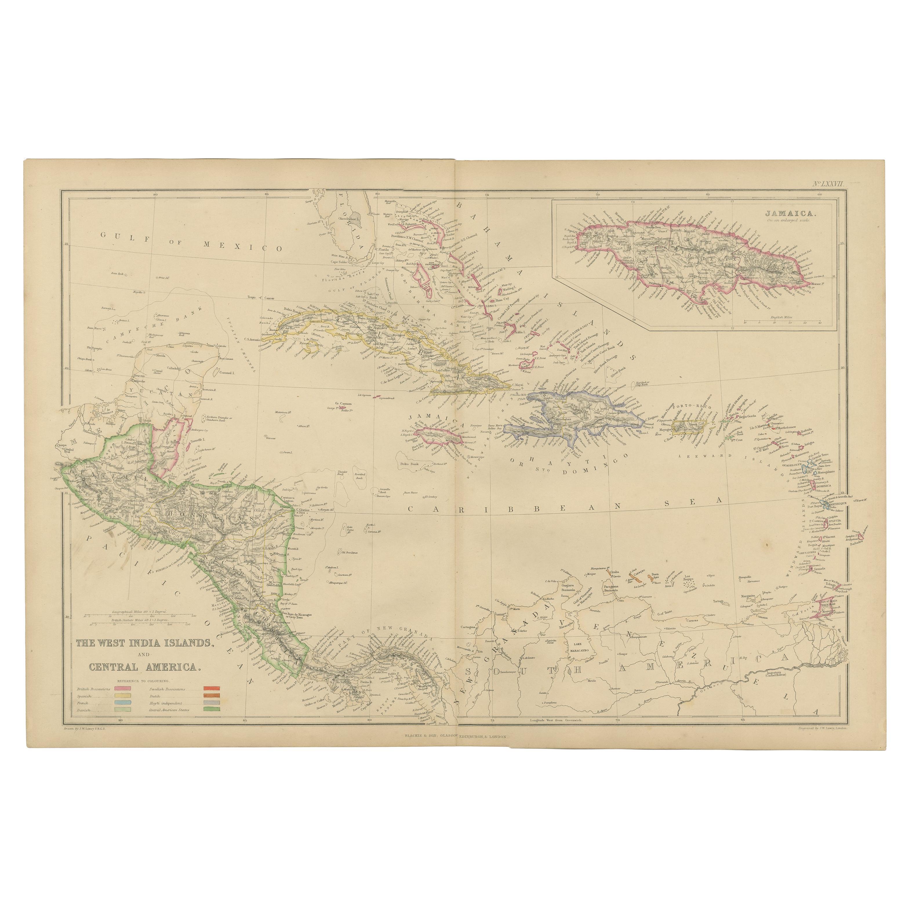
Antique Map of the Gulf of Mexico and all the islands of the West Indies
Located in Langweer, NL
Antique map titled 'Carte du Golfe du Mexique'. This uncommon map depicts the Gulf of Mexico and all the islands of the West Indies. It also includes ni...
Category
Antique Early 19th Century Maps
Materials
Paper
$181 Sale Price
20% Off