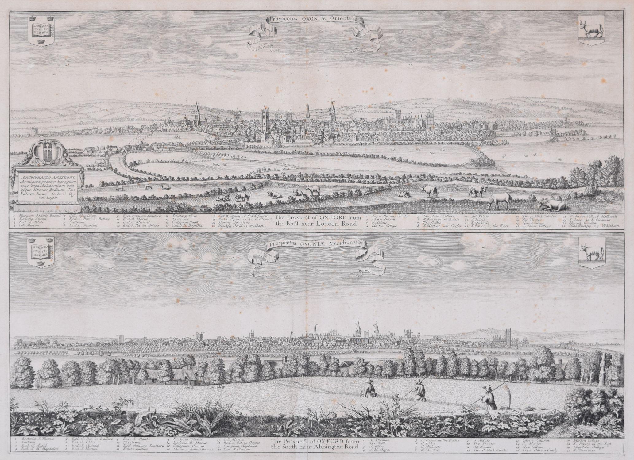
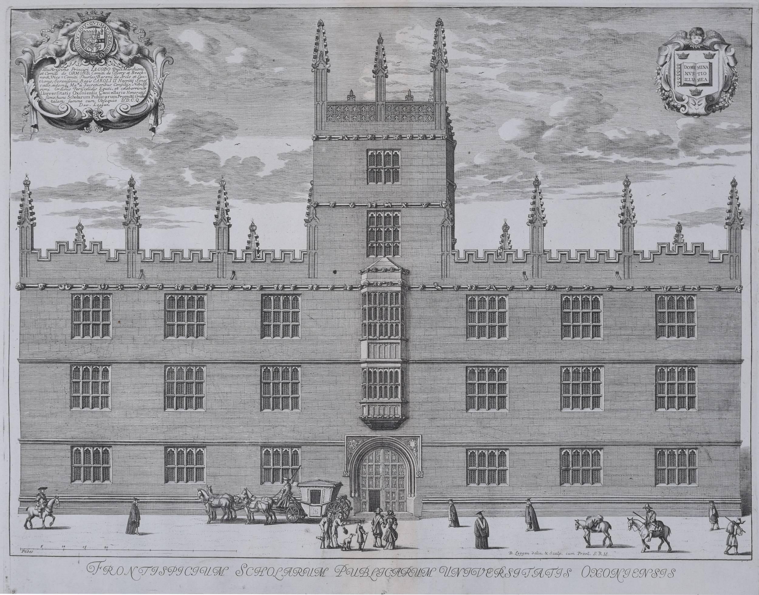
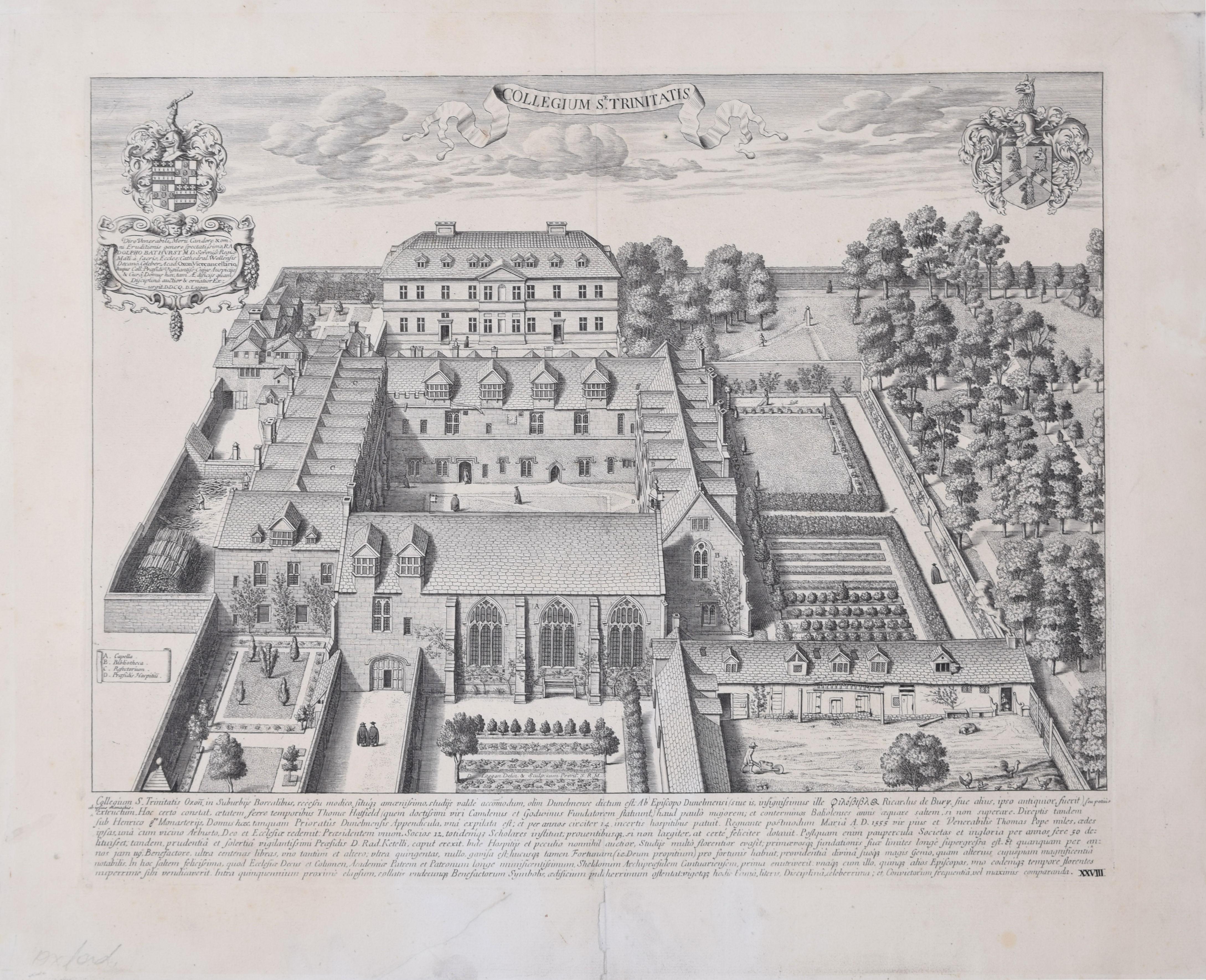
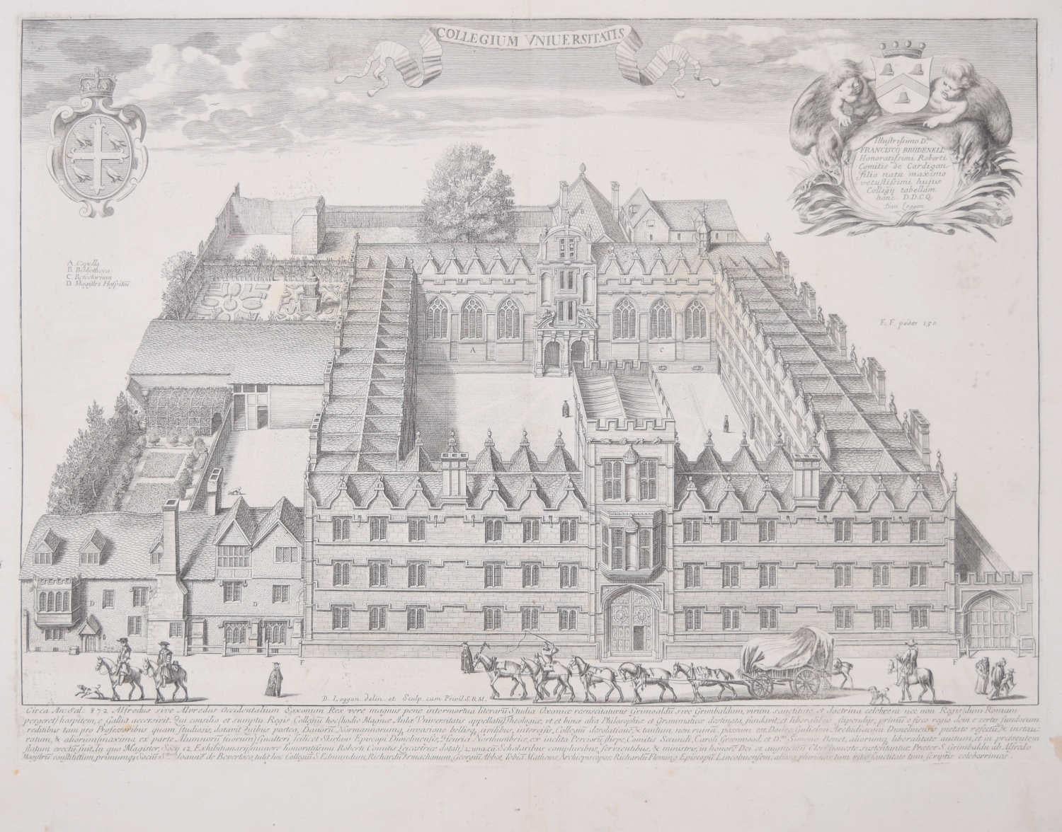
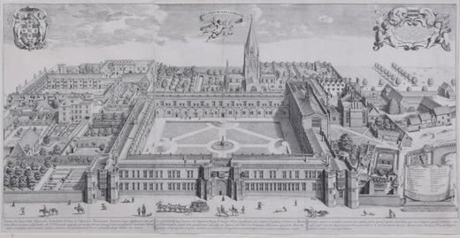
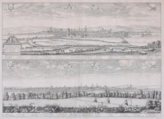
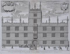
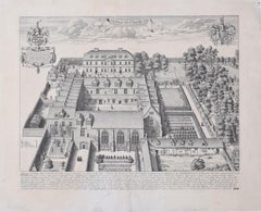
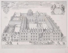
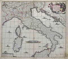
David LogganUniversity of Oxford Oxonia Illustrata 1675 engraving by David Loggan1675
1675
About the Item
- Creator:David Loggan (1634 - 1692, British)
- Creation Year:1675
- Dimensions:Height: 14.97 in (38 cm)Width: 9.45 in (24 cm)
- Medium:
- Movement & Style:
- Period:1670-1679
- Framing:Framing Options Available
- Condition:Print good; some browning to margins just outside platemark.
- Gallery Location:London, GB
- Reference Number:1stDibs: LU795313311132
David Loggan
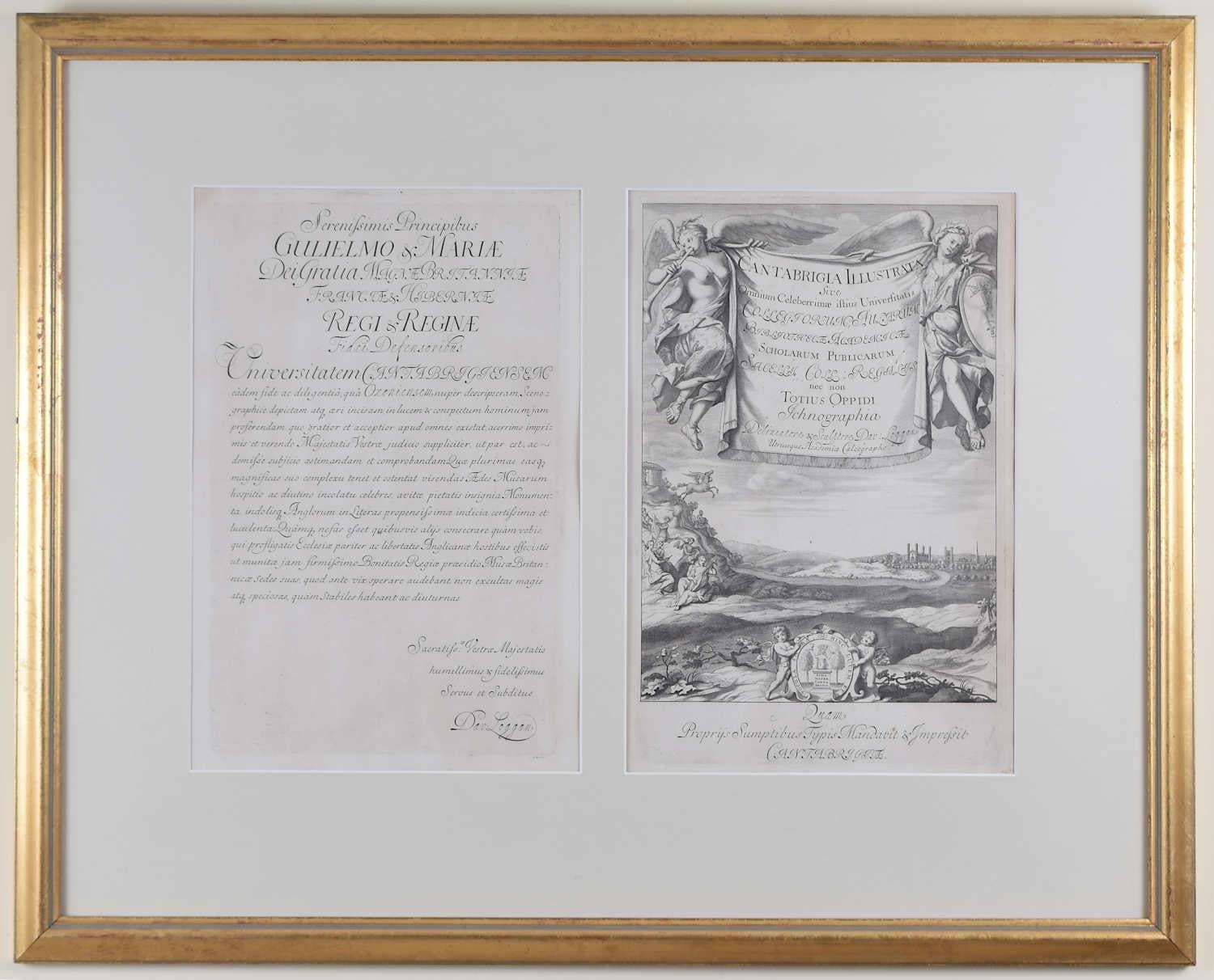
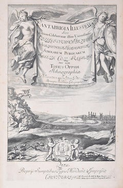
David Loggan’s parents were English and Scottish. He studied engraving in Danzig with Willem Hondius and moved to London in the late 1650s, producing the engraved title page for the folio Book of Common Prayer (1662). After marrying in 1663, Loggan moved to Nuffield, Oxfordshire, in 1665 to avoid the Plague and was in 1668–69 appointed as a public sculptor to the nearby University of Oxford, having been commissioned to produce bird’s-eye views of all the Oxford Colleges. He lived in Holywell Street as he did this. Oxonia illustrata was published in 1675, with the help of Robert White. Following its completion, Loggan commenced work on his equivalent work for Cambridge, Cantabrigia Illustrata, which was finally published in 1690 when he was made engraver at Cambridge University.
- ShippingRetrieving quote...Shipping from: London, United Kingdom
- Return Policy
More From This Seller
View All1710s Realist Prints and Multiples
Engraving
1670s Realist Prints and Multiples
Engraving
17th Century Realist Prints and Multiples
Engraving, Etching
1670s Realist Prints and Multiples
Engraving
1670s Realist Landscape Prints
Engraving
17th Century Prints and Multiples
Engraving, Etching
You May Also Like
1680s Modern Figurative Prints
Etching
16th Century Old Masters Figurative Prints
Etching
1680s Modern Figurative Prints
Etching

1650s Modern Figurative Prints
Etching
1680s Modern Figurative Prints
Etching
1680s Modern Figurative Prints
Etching