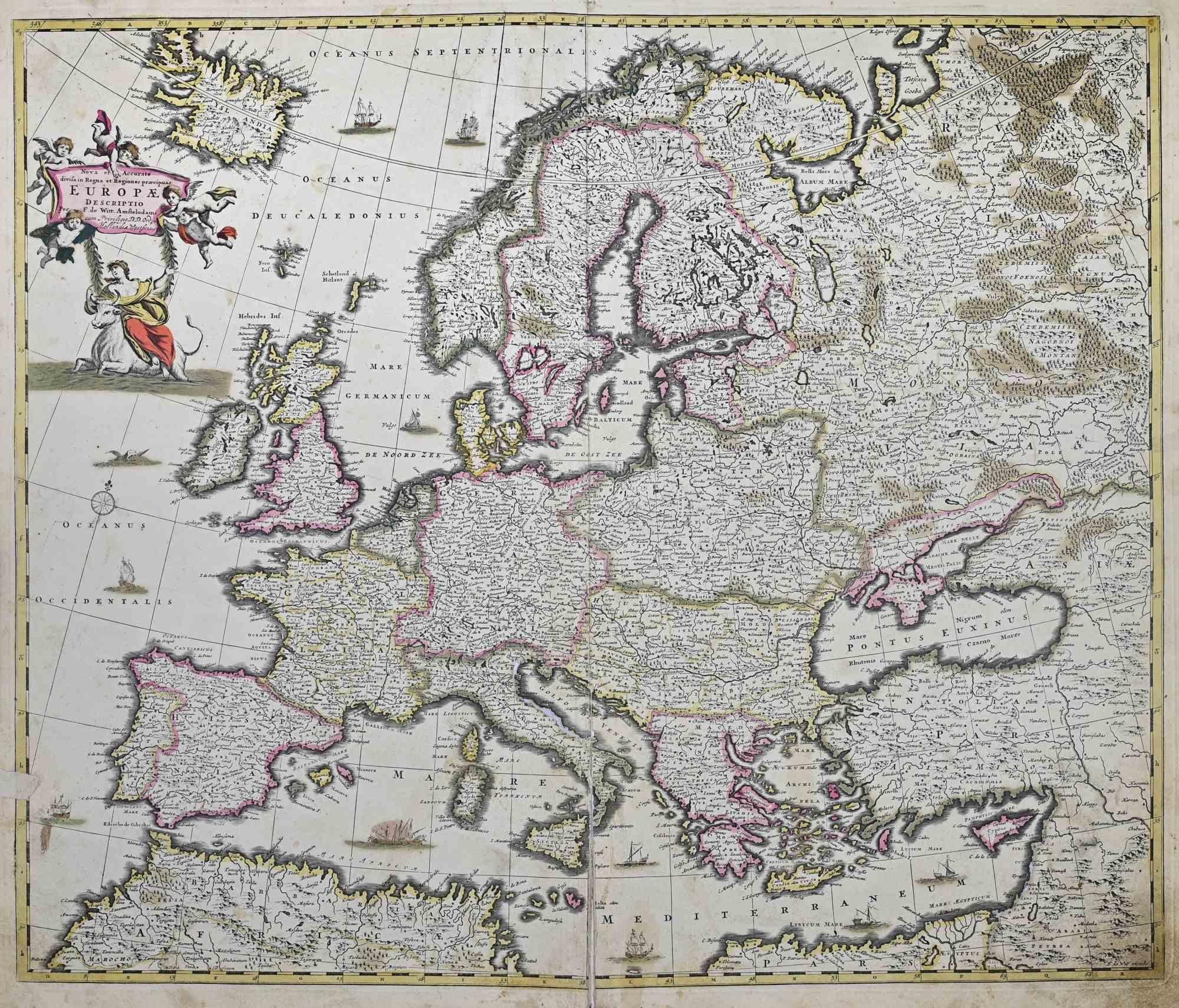
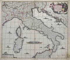
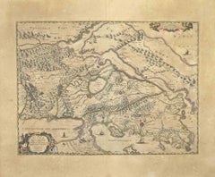
Vincenzo Maria CoronelliGenova Olim Ligusticum - Etching by V. Coronelli - 1684 ca.1684 ca.
1684 ca.
About the Item
- Creator:Vincenzo Maria Coronelli (1650 - 1718, French)
- Creation Year:1684 ca.
- Dimensions:Height: 17.72 in (45 cm)Width: 24.02 in (61 cm)Depth: 0.08 in (2 mm)
- Medium:
- Period:1680-1689
- Framing:Framing Options Available
- Condition:Insurance may be requested by customers as additional service, contact us for more information.
- Gallery Location:Roma, IT
- Reference Number:Seller: M-1033381stDibs: LU65035063181
Vincenzo Maria Coronelli
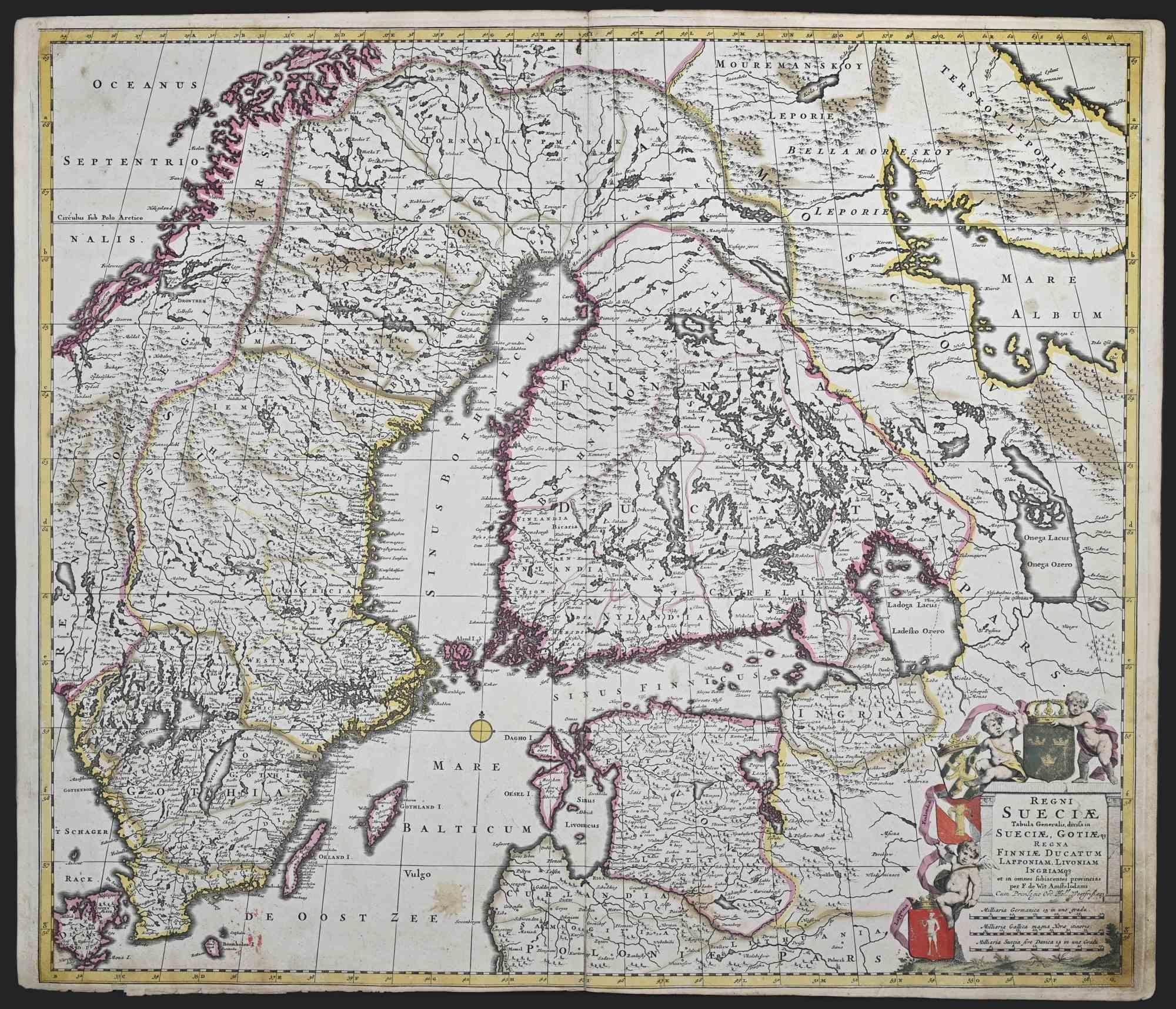
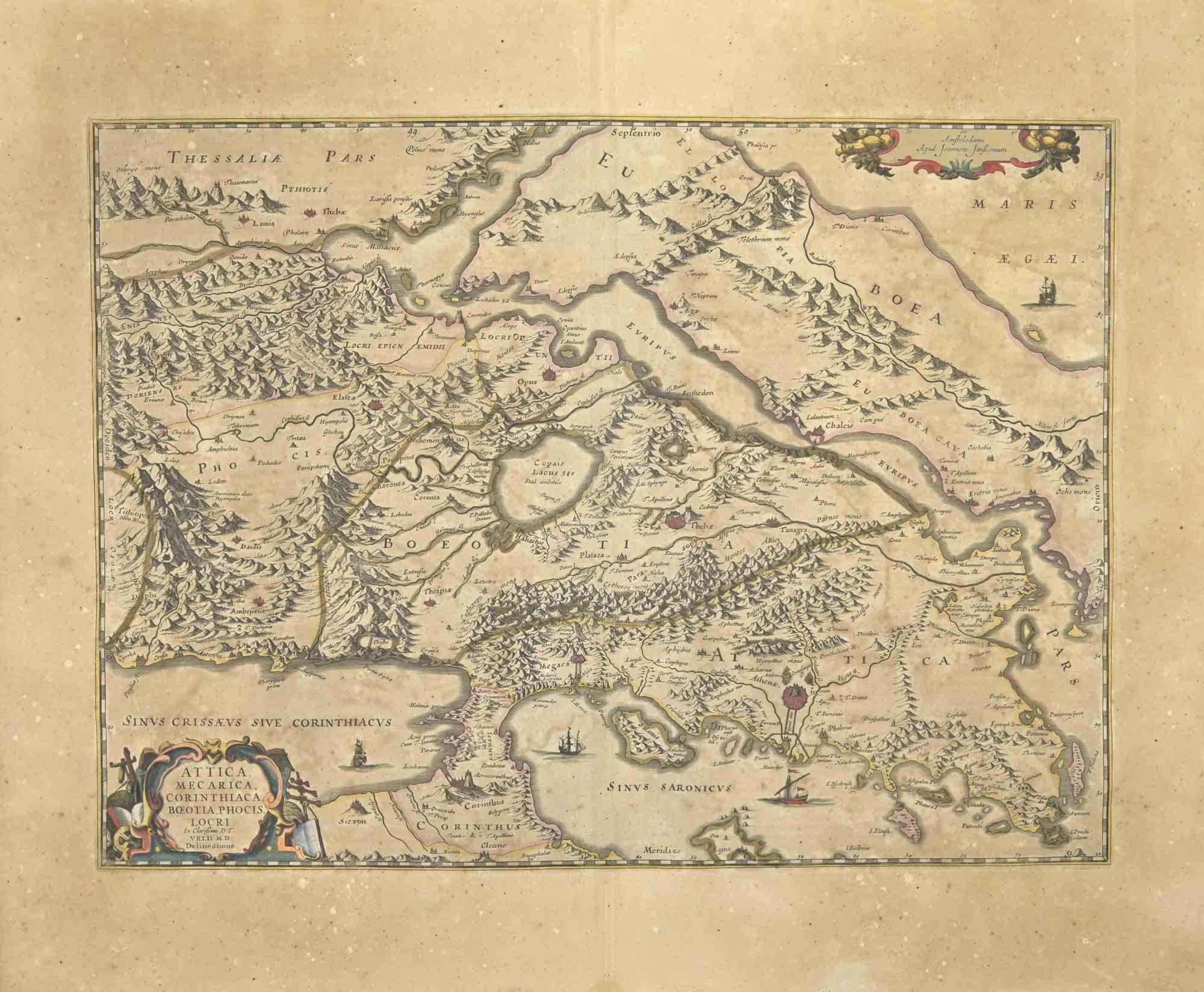
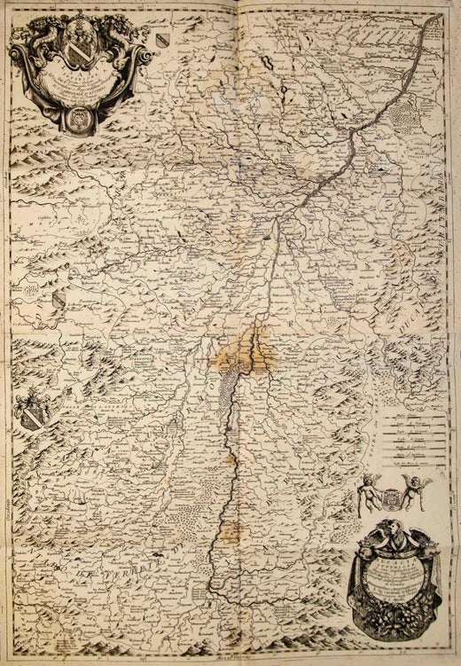
Vincenzo Maria Coronelli was an Italian Franciscan, cartographer and encyclopedist. In 1663, very young, he entered the Franciscan order of the Friars Minor Conventual, becoming a novice in 1665 and 1701, he became Minister General. In 1671, Coronelli entered the Convent of Santa Maria Gloriosa Dei Frari in Venice and 1672 in the order of the Collegio San Bonaventura in Grottaferrata. Later he also specialized in astronomy and Euclidean mathematics. From 1678, Coronelli began to work in geography and was commissioned to build globes that represented the Earth and the celestial bodies for the Duke of Parma Ranuccio II Farnese. In 1681, Coronelli moved to Paris, where he would remain two years, here the fame of Coronelli as master in the production of Globes became famous throughout Europe, so much so that Cardinal d'Estrées, a French ambassador of Louis XIV in Rome, he ordered two globes to be assigned to Louis XIV, to embellish the Royal Library of the Palace of Versailles. Returning to Venice in 1684, Coronelli was appointed cosmographer at the University of the Most Serene Republic of Venice and founded the Academy of the Argonauts, the first geographical society in the world.
- ShippingRetrieving quote...Shipping from: Roma, Italy
- Return Policy
More From This Seller
View AllLate 17th Century Figurative Prints
Paper, Etching

1680s Modern Figurative Prints
Etching
1650s Modern Figurative Prints
Etching
1680s Modern Figurative Prints
Etching
1680s Modern Figurative Prints
Etching
1650s Modern Figurative Prints
Etching
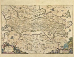
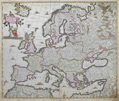
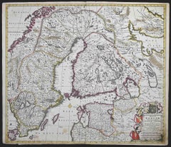
You May Also Like
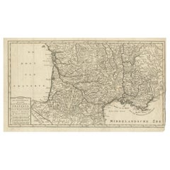
Antique Late 17th Century Maps
Paper

Antique Late 17th Century Maps
Paper
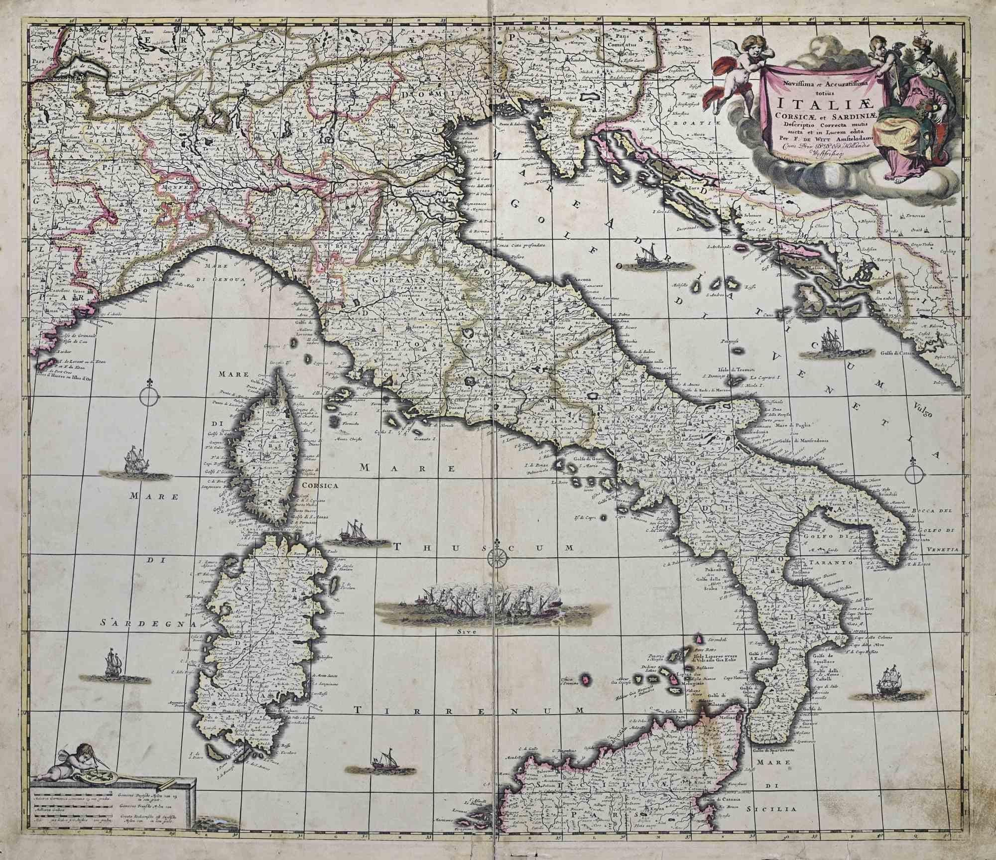
Antique 17th Century Maps
Paper

1670s Realist Prints and Multiples
Engraving
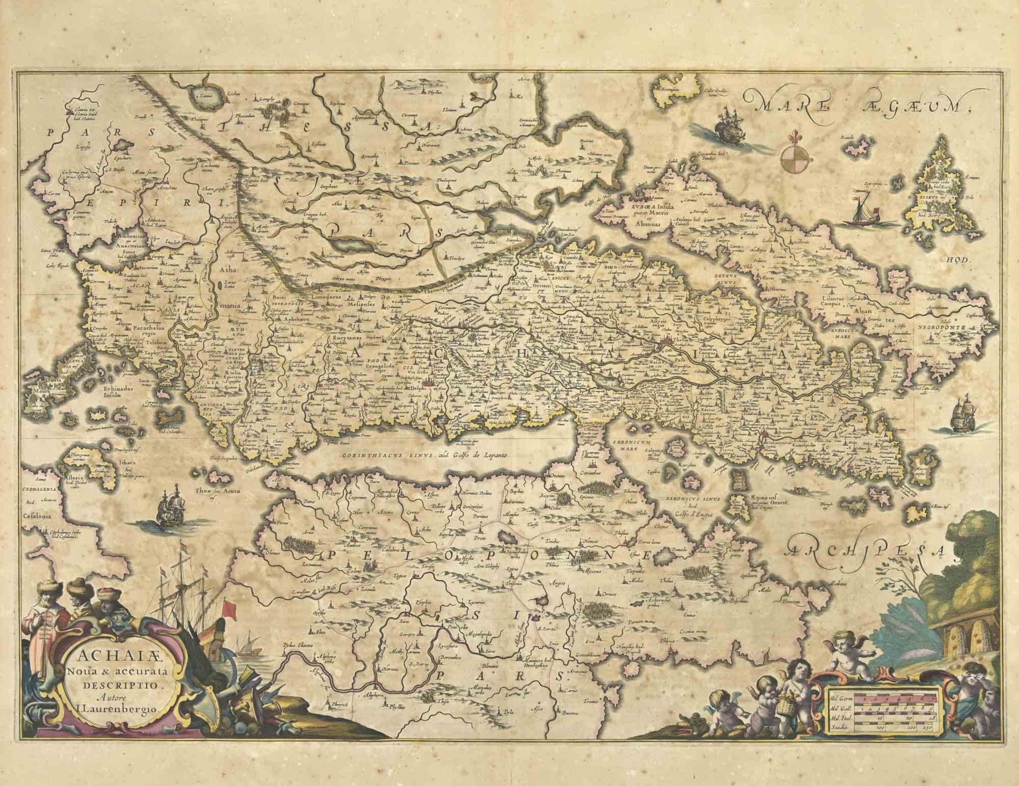
Antique 17th Century Maps
Paper
Antique Mid-18th Century Dutch Maps
Paper