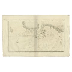
Items Similar to 1776 Navigational chart/map of the Delaware bay and river including Philadelphia
Want more images or videos?
Request additional images or videos from the seller
1 of 9
Joshua Fisher1776 Navigational chart/map of the Delaware bay and river including Philadelphia1776
1776
$5,000
£3,814.76
€4,362.40
CA$7,046.07
A$7,682.98
CHF 4,077.28
MX$92,884.76
NOK 51,600.96
SEK 47,299.46
DKK 32,582.65
About the Item
JOSHUA FISHER
(AMERICAN, EIGHTEENTH CENTURY)
A Chart of Delaware Bay and River, 1776
Printed for John Bennet and Robert Sayer, London
Engraving on paper, 19 1/2 x 28 1/4 inches
FRAMED: 36 x 27 1/2 inches (approx.)
PROVENANCE: Descended in the family of Robert M. Patterson (1743-1824) of Philadelphia
This item was in a group of papers retained by Robert M. Patterson, Professor of Natural and Experimental Philosophy at the University of Pennsylvania, which tell the story of the construction of earthwork defenses of the city of Philadelphia during the War of 1812 by volunteers under Patterson's direction. The vertical crease at the center of this map, which has been lined, indicates that it was probably bound in a volume of the atlas The North-American Pilot, Part the Second (London, 1777).
Joshua Fisher, a native of Lewes, Delaware (then the “three lower counties” of Pennsylvania), made the first navigational chart of the Delaware Bay in 1756. In 1775 Fisher produced an expanded chart that included the Delaware River to just beyond Philadelphia. The most important eighteenth-century map of the Delaware Bay, it was used by those sailing ships to Philadelphia and was sold in different editions in European ports. This is the second English edition.
About the Seller
5.0
Recognized Seller
These prestigious sellers are industry leaders and represent the highest echelon for item quality and design.
1stDibs seller since 2023
14 sales on 1stDibs
- ShippingRetrieving quote...Shipping from: Philadelphia, PA
- Return Policy
More From This Seller
View AllCivil War: US Army Transport "Neptune" by Xanthus Smith
By Xanthus Russell Smith
Located in Philadelphia, PA
Xanthus Russell Smith
(American, 1839-1929)
Army Transport "Neptune"
Ink on bristol board, 9 x 14 1/4 inches
Framed: 16 x 22 (aprox.)
Signed at lower left: "X.S.”
Inscribed: (on pap...
Category
Late 19th Century Realist Landscape Drawings and Watercolors
Materials
Paper, Ink
New Jersey Shore Salt Marsh, nineteenth century watercolor by Essig
Located in Philadelphia, PA
George Emerick Essig
(American, 1838-1923)
Jersey Shore
Watercolor on paper, 12 3/4 x 26 x 1/2 inches
FRAMED: 22 x 35 1/2 inches (approx.)
Signed at lower right: "Geo. E. Essig"
Ge...
Category
Late 19th Century Realist Landscape Drawings and Watercolors
Materials
Paper, Watercolor, Gouache
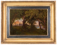
View of Mount Vernon Estate, the historic home of George and Martha Washington
Located in Philadelphia, PA
Unknown
(American, nineteenth century)
Mount Vernon Estate
Oil on canvas, 12 x 17 inches
Framed: 20 x 25 inches (approx.)
Mount Vernon Estate, located in Virginia, is the historic p...
Category
Mid-19th Century Realist Landscape Paintings
Materials
Canvas, Oil
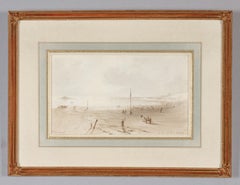
View from the Public Baths, Cherbourg, France
Located in Philadelphia, PA
Percival Skelton
(English, active 1852-87)
Cherbourg
Watercolor on paper, 5 3/8 X 9 3/8 inches
Framed: 11 x 15 inches (approx.)
Inscribed at lower left: "Cherbourg"; at lower right: ...
Category
Mid-19th Century Realist Landscape Drawings and Watercolors
Materials
Paper, Watercolor
Where Wild Hibiscus Grows, Absecon Island, NJ, Watercolor of Jersey Shore 1894
Located in Philadelphia, PA
Peter Caledon Cameron
(American, born Scotland, 1852-c. 1920)
Absecon Island, New Jersey, 1894
Watercolor on paper, 17 1/2 x 27 inches (sight)
FRAMED: 26 1/2 x 36 1/2 inches
Signed and dated at lower left: "ABSECON.ISLAND./ N.J-U.S.A Cameron/1894" N.J-U.S.A Cameron/1894"
Born in Perth, Scotland, Peter Caledon Cameron won awards for drawing and penmanship at a Glasgow public school. He claimed that at the age of fourteen his watercolors were already "in demand," and that before turning twenty he had "crossed every ocean in the world, sketching and painting as he went." He attended the Government School of Design in London and was certified as an art master in 1883. Cameron immigrated to the United States that year, settled in Philadelphia, and commenced work on large history paintings such as Niagara in Winter (unlocated) and Vesuvius in Grand Eruption (unlocated) that he exhibited in various northern cities. He exhibited one painting at the Pennsylvania Academy of the Fine Arts in 1902. Nothing is known of his activities later in life.
In a lengthy inscription that accompanies this watercolor, Cameron noted that Absecon was "a piece of the best sand-dune region characteristic of the whole coast of New Jersey State from Sandy Hook point in the North to Cape May Point in the extreme south." This was one among a number of studies the artist made for a large oil painting titled "Captain Kidd Burying His Treasure" (unlocated). The famous Scottish privateer Captain William Kidd...
Category
1890s Naturalistic Landscape Drawings and Watercolors
Materials
Paper, Watercolor
View of Collins Center, Erie County, New York by Charles Lewis Fussell
Located in Philadelphia, PA
Charles Lewis Fussell
(American, 1840–1909)
Collins Center
Oil on canvas, 8 3/4 x 6 3/4 inches
FRAMED: 14 x 12 inches (approx.)
Collins Center, is a small town in Erie County in nor...
Category
Late 19th Century Realist Landscape Paintings
Materials
Canvas, Oil
You May Also Like
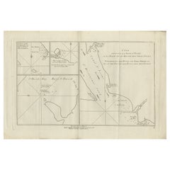
Antique Chart of York's Bay and Surroundings by Hawkesworth, 1774
Located in Langweer, NL
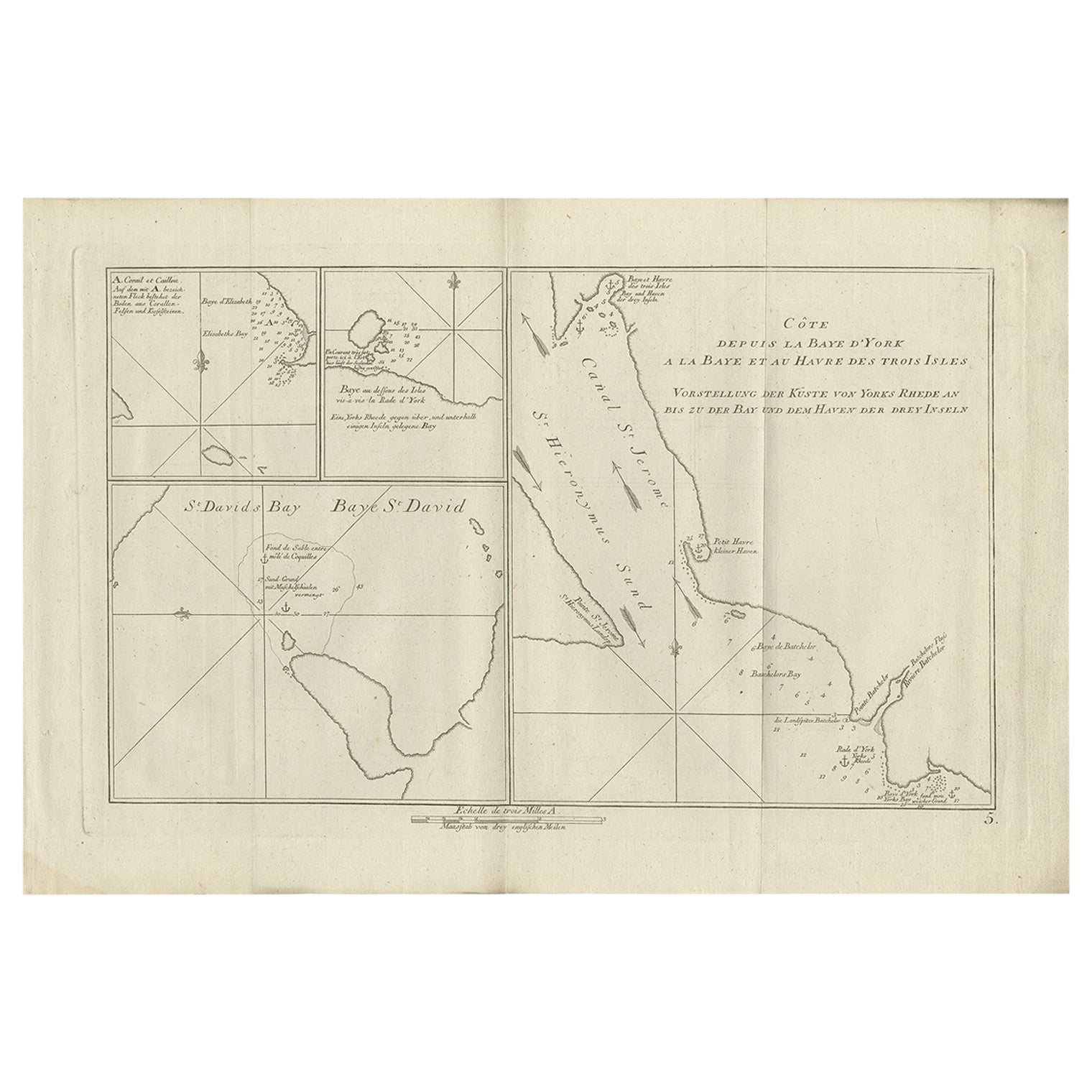
Antique print titled 'Baye St. David (..)'. Charts of York's Bay, Haven of the Three Islands, St. David's Bay, and Elizabeth's Bay. Originates from 'Geschichte der See-Reisen und Ent...
Category
Antique 18th Century Prints
Materials
Paper
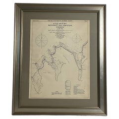
Mariners charts of Massachusett Long Island by George Eldridge 1901
Located in Norwell, MA
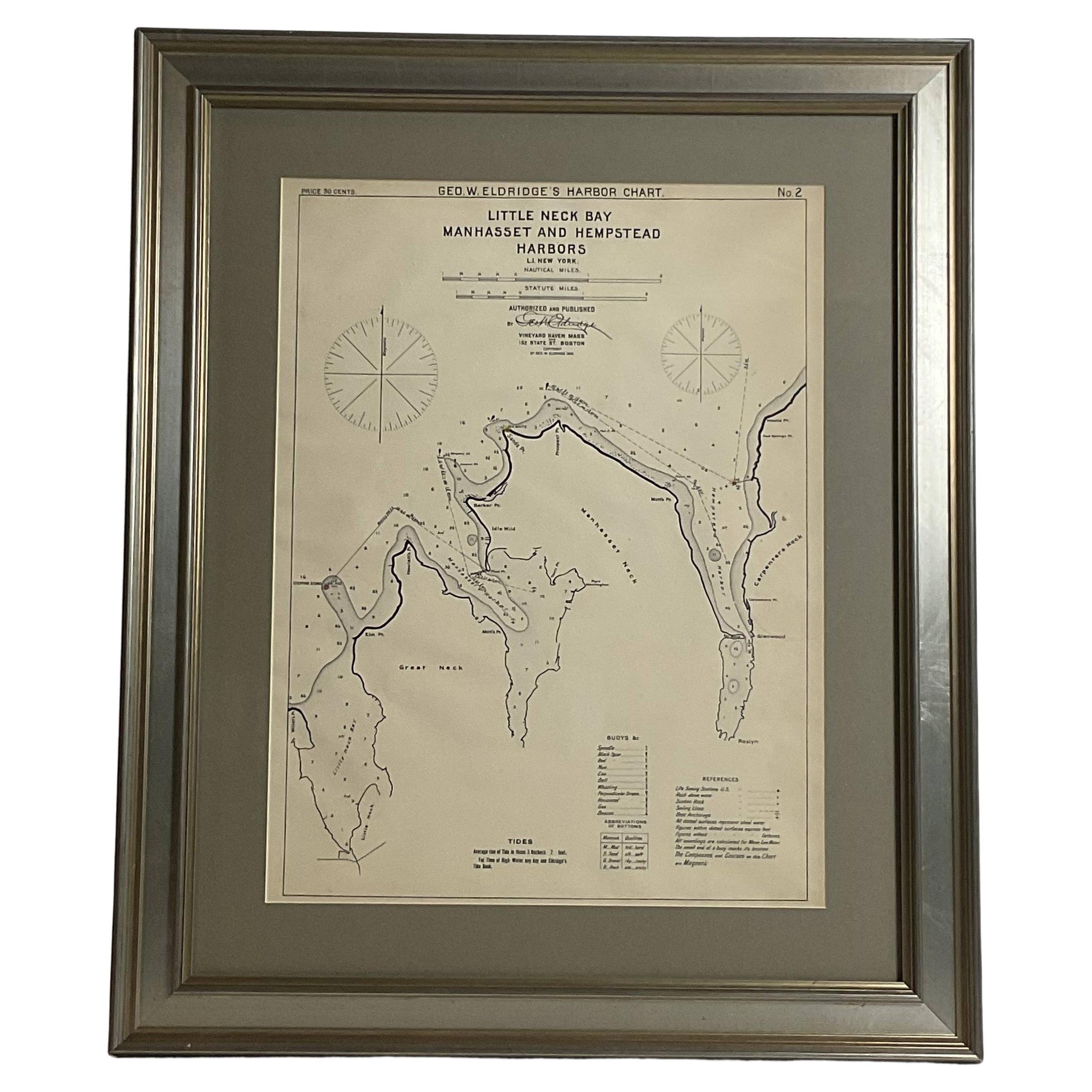
Nautical Chart showing the harbor and local waters of the Little Neck Bay, Manhasset and Hempstead Harbors. The chart displays depths, buoys, lighthouses, etc., Shown is Manhasset Ne...
Category
Antique Early 1900s North American Prints
Materials
Paper
Original Antique Map of the Harbour of Tongatabu by Cook, 1784
Located in Langweer, NL
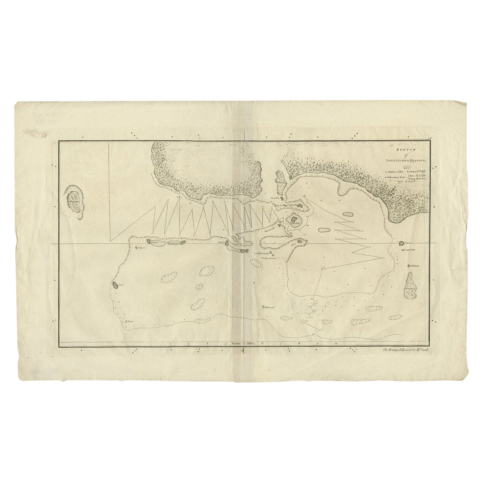
Antique map titled 'Sketch of Tongataboo Harbour (..)'. Antique map of the harbour of Tongatabu, one of the Tonga Islands. Originates from an edition of Cook's Voyages.
Artists an...
Category
Antique 18th Century Maps
Materials
Paper
$419 Sale Price
20% Off
Antique Map of the Strait of Le Maire Between Terra Fuego & Staten Island, 1803
Located in Langweer, NL
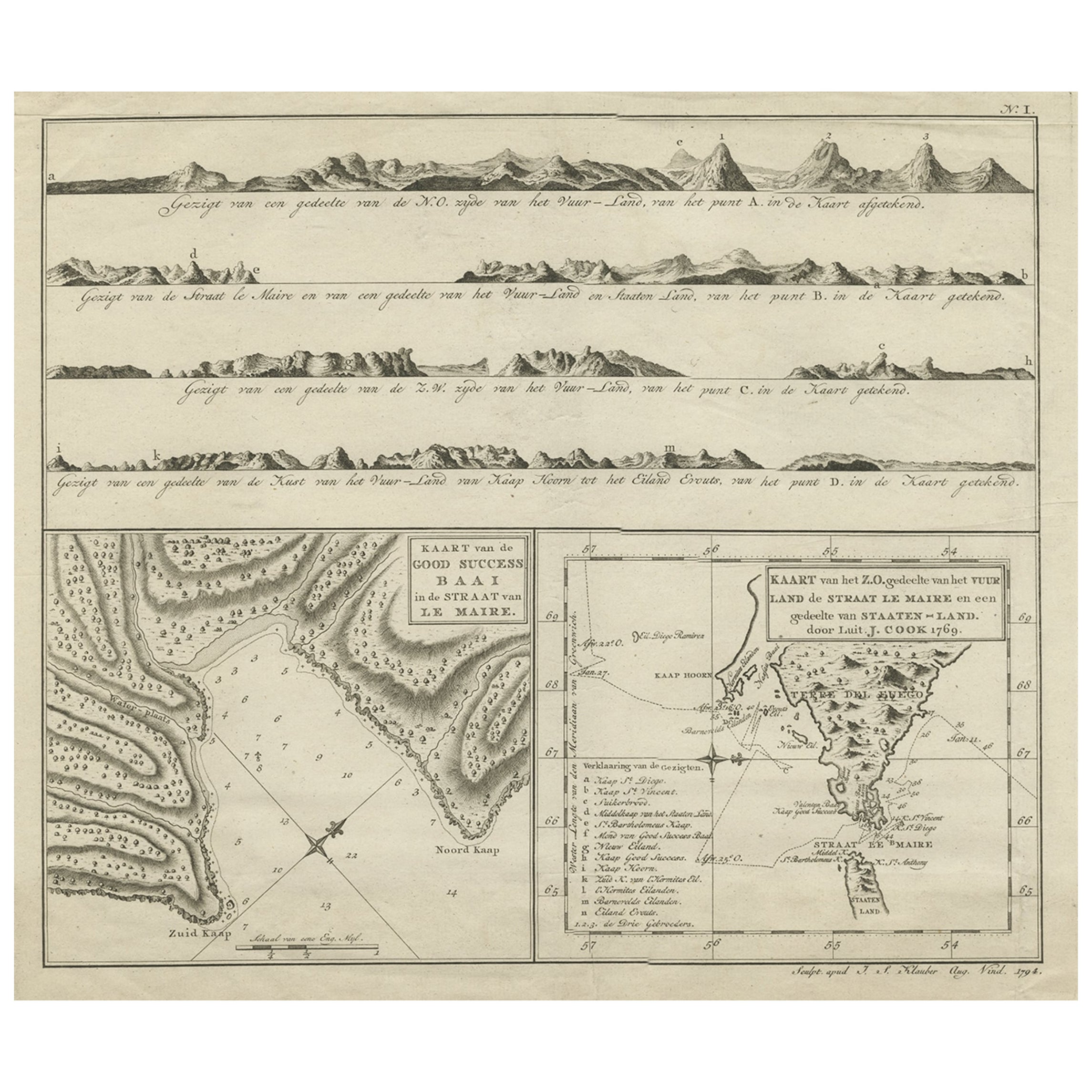
Antique map titled 'Kaart van de Good Success Baai in de Straat van Le Maire (..)'.
Antique map of the Strait of Le Maire between Terra Fuego and Staten Island. On top, various c...
Category
Antique Early 1800s Maps
Materials
Paper
$601 Sale Price
20% Off
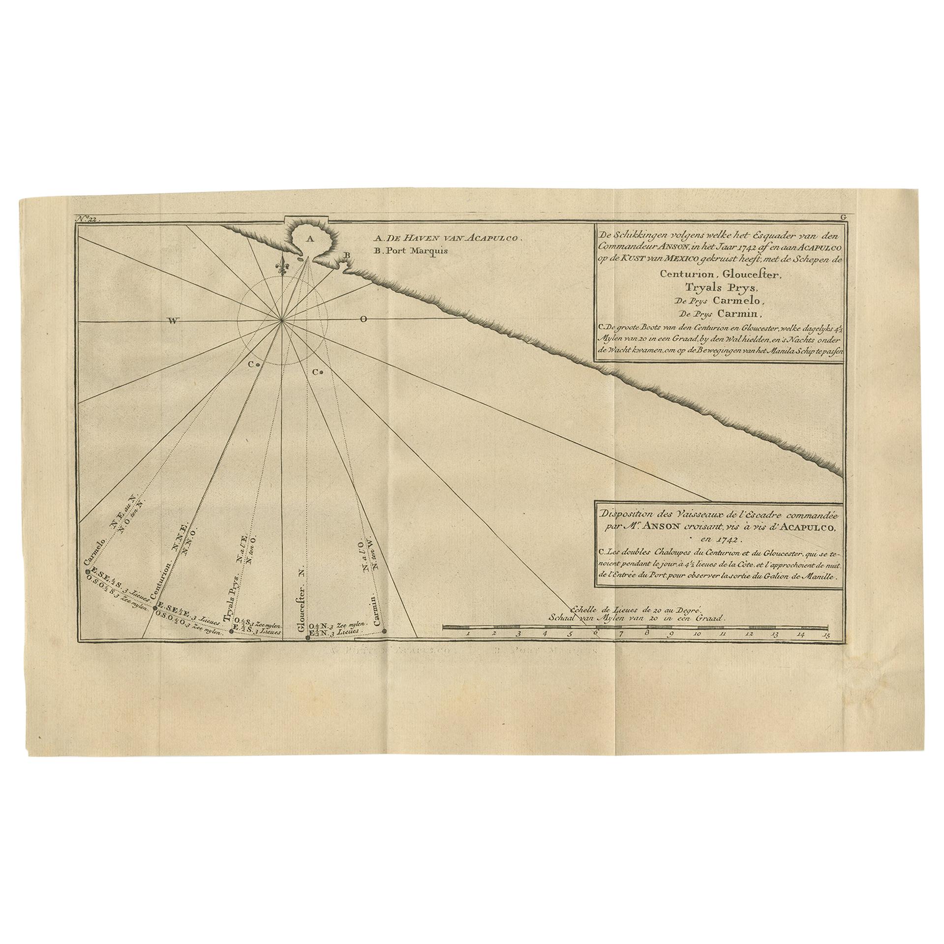
Antique Map of the Coast of Acapulco by Anson, 1749
Located in Langweer, NL
Antique map titled 'Disposition des Vaisseaux de l'Escadre commandée par Mr. Anson croisant vis à vis d'Acapulco en 1742'. This map depicts the coast of Acapulco in Mexico with a decorative cartouche and windrose. Acapulco and its port were important to the mission of Commodore George Anson, who captured a Spanish treasure...
Category
Antique Mid-18th Century Prints
Materials
Paper
$171 Sale Price
42% Off
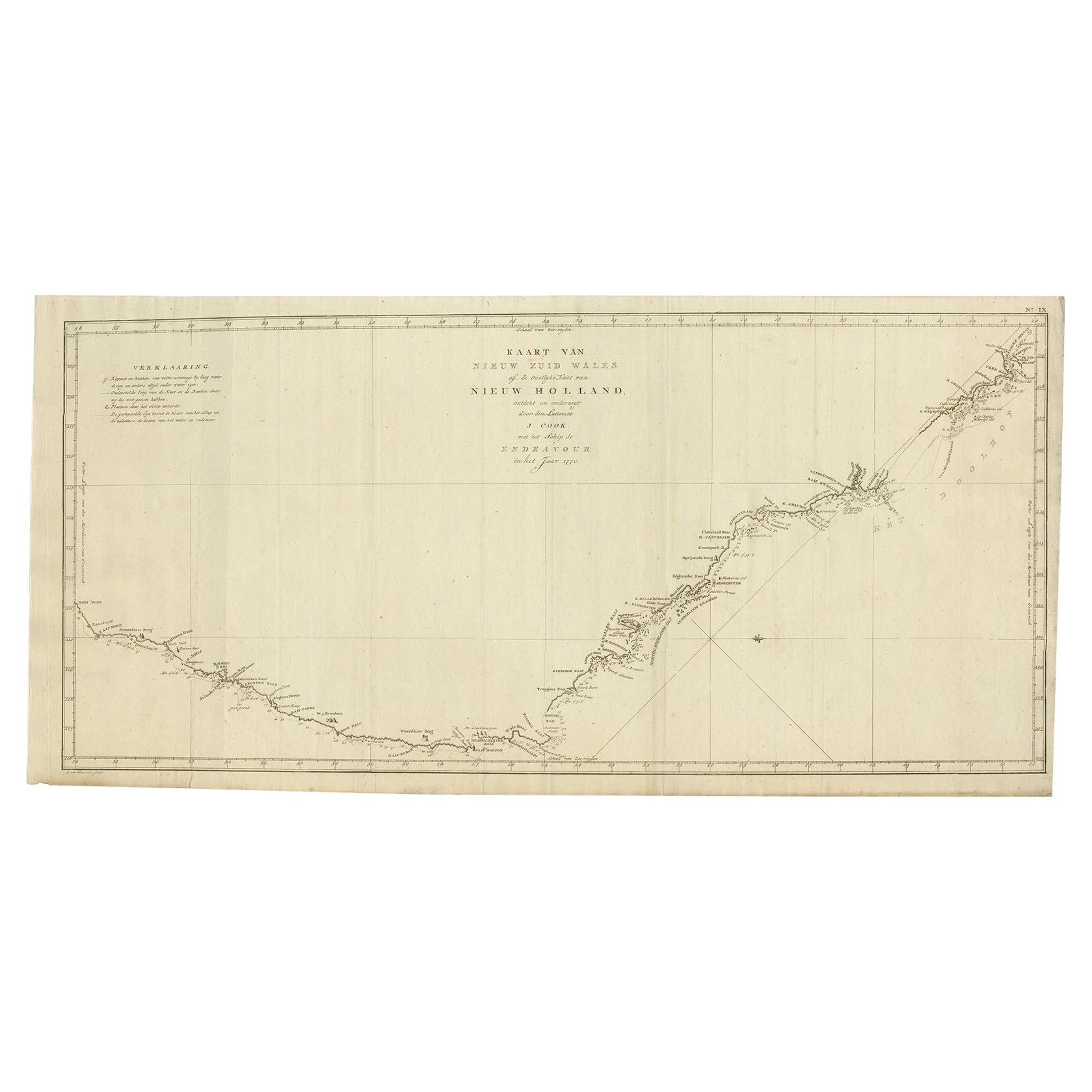
Old Map of Cook's Discovery and Charting of the East Coast of Australia, 1803
Located in Langweer, NL
Antique map titled 'Kaart van Nieuw Zuid Wales of de Oostlyke Kust van Nieuw Holland ontdekt en onderzogt door den Luitenant J. Cook met het Schip de Endeavour in het Jaar 1770'.
...
Category
Antique Early 1800s Maps
Materials
Paper
More Ways To Browse
Philadelphia Antique
Antique Navigation
Antique Delaware
Antique Engravings London
War Of 1812
Lawrence Heyman
Lawrence Josset
Leroy Neiman Serigraphs Sailing
Lilian May Miller
Lionel Lindsay
Maine Woodcut
Mammoth Ski Poster
Marco Sadeler
Mary Teichman
Monet Etching
Orchard By David Harrison
Oscar De Mejo
Pablo Picasso Original Inc Sketch
