Items Similar to Wonderground Map of London by MacDonald 'Max' Gill c. 1924 original poster

Want more images or videos?
Request additional images or videos from the seller
1 of 5
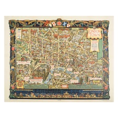
"Leslie MacDonald ""Max"" Gill"Wonderground Map of London by MacDonald 'Max' Gill c. 1924 original posterc.1924
c.1924
$3,943.04
£2,900
€3,385.46
CA$5,459.42
A$5,933.45
CHF 3,179.79
MX$72,042.65
NOK 39,920.31
SEK 37,020.02
DKK 25,285.22
About the Item
To see our other original vintage posters and views of London (including original paintings), scroll down to "More from this Seller" and below it click on "See all from this Seller" - or send us a message if you cannot find the poster you want.
Macdonald (Max) Gill (1884-1947)
Wonderground Map of London (c. 1924, after 1914 original edition)
Lithographic poster
75x94cm
In the present work, in the top left-hand corner it reads 'On to Wembley' making reference to the British Empire Exhibition of 1924. Gill's original 1914 poster was hugely popular and reprinted with updates to feature topical events.
Born in Brighton, Max Gill was the second son in a family of thirteen children; his elder brother was Eric Gill, the typographer and sculptor. Both Gills exhibited significant talent at a young age. Max Gill’s first map was made for a school map-drawing project following which he entered maps into competitions in boys’ magazines.
In 1903 he moved to London as assistant to the ecclesiastical architects Sir Charles Nicholson and Hubert Corlette. By 1908 he had started his own architectural practice, but in 1909 Sir Edwin Lutyens commissioned Gill to paint a “wind dial” map for Nashdom, a large house in Buckinghamshire. The wind dial was set over the fireplace and attached to a weather vane on the roof, allowing the occupant to know the direction of the wind from the comfort of the house. He produced seven further wind dials including for Lutyens’s Lindisfarne Castle and for the Allhusen Room at Trinity College, Cambridge.
Although he continued to practice as an architect, Frank Pick commissioned him to create seven pictorial maps for the Underground, the first being the famous 1913 ‘Wonderground Map of London Town.’
In 1917 he joined the Imperial War Graves Commission’s headstone design committee, designing the typeface and regimental badges. Gill’s memorials for the fallen in the First World War include for Balliol and Worcester Colleges and Christ Church in Oxford.
During the 1920s and 30s Gill undertook many commercial commissions for advertising materials. The Empire Marketing Board and Shell-Mex as well as further maps for the Underground. He designed in 1922 the first diagrammatic map of the Underground which provided the foundation for Beck’s more famous map.
By the 1930s his major works were murals. Those of the Arctic and Antarctic on the ceilings of the Scott Polar Research Institute in Cambridge are beautiful, but the most impressive is the map of the North Atlantic in the first-class dining room of the Queen Mary (maiden voyage: 1936, now moored at Long Beach, California).
During the Second World War he created a series of propaganda posters for the Ministry of Information.
- Creator:
- Creation Year:c.1924
- Dimensions:Height: 29.53 in (75 cm)Width: 37.01 in (94 cm)
- Medium:
- Movement & Style:
- Period:
- Condition:Backed to linen.
- Gallery Location:London, GB
- Reference Number:1stDibs: LU79536029782
About the Seller
4.8
Vetted Professional Seller
Every seller passes strict standards for authenticity and reliability
Established in 2014
1stDibs seller since 2017
362 sales on 1stDibs
Typical response time: 13 hours
- ShippingRetrieving quote...Shipping from: London, United Kingdom
- Return Policy
More From This Seller
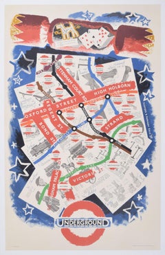
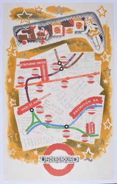
View AllLondon Underground Map of London Christmas poster by Clifford and Rosemary Ellis
By Clifford & Rosemary Ellis
Located in London, GB
To see our other original vintage travel posters including more pre-war London Transport posters, scroll down to "More from this Seller" and below it click on "See all from this Seller" - or send us a message if you cannot find the poster you want.
Clifford and Rosemary Ellis
London Underground Map
Original vintage poster
103 x 64 cm
Signed in the plate 'Clifford & Rosemary Ellis '35"
Printed by Waterlow & Sons Ltd for London Transport.
This marvellous original vintage poster was designed for London Transport and encourages shoppers to use the Tube to do their Christmas shopping. The map of London's streets of shops, including Oxford Street, Regent Street, and Bond Street, are set on the background of a Christmas shopping list and various items to be purchased. The cross-section of a Christmas cracker...
Category
1930s Modern More Prints
Materials
Lithograph
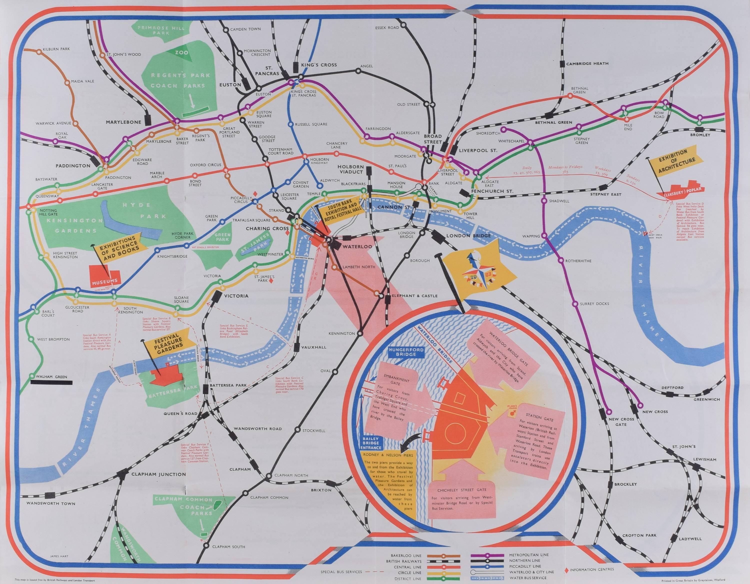
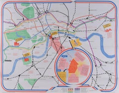
James Hart Festival of Britain 1951 London Transport map poster UK Mid Century
By James Hart
Located in London, GB
To see our other views of London, scroll down to "More from this Seller" and below it click on "See all from this seller" - or send us a message if you cannot find the view you want....
Category
1950s Realist More Prints
Materials
Lithograph
London Underground Map of London Christmas poster by Clifford and Rosemary Ellis
By Clifford & Rosemary Ellis
Located in London, GB
To see our other original vintage travel posters including more pre-war London Transport posters, scroll down to "More from this Seller" and below it click on "See all from this Seller" - or send us a message if you cannot find the poster you want.
Clifford and Rosemary Ellis
London Underground Map...
Category
1930s Modern More Prints
Materials
Lithograph
1937 Coronation Map for London Transport
Located in London, GB
To see more, scroll down to "More from this Seller" and below it click on "See all from this Seller."
Coronation Arrangements – Map of London (1...
Category
1950s Landscape Prints
Materials
Lithograph
H C Beck September 1933 London Underground Pocket Map (First Year of Issue)
By Harry Beck
Located in London, GB
To see our other original vintage travel posters including more London Transport posters, scroll down to "More from this Seller" and below it click on "See all from this Seller" - or...
Category
1930s Modern More Prints
Materials
Lithograph
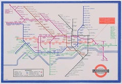
H C Beck September 1936 No 1 London Underground Pocket Map Harry Beck
By Harry Beck
Located in London, GB
To see our other original vintage travel posters including more London Transport posters, scroll down to "More from this Seller" and below it click on "See all from this Seller" - or...
Category
1930s Modern More Prints
Materials
Lithograph

You May Also Like
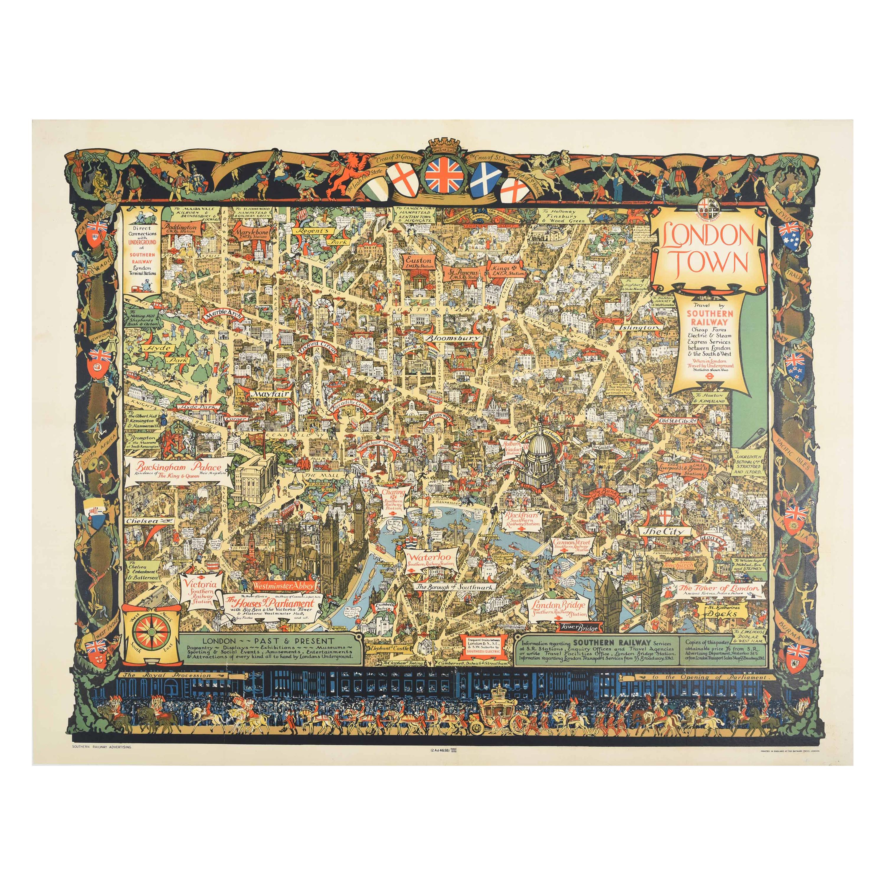
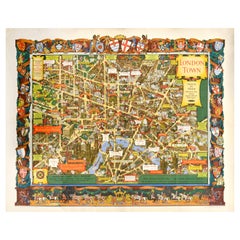
Original Vintage Poster London Town Pictorial Map Southern Railway Underground
By Kerry Lee
Located in London, GB
Original vintage Travel By Train map poster for London Town by the British artist, illustrator and poster designer Kerry Lee (1902-1988) featuring a detailed...
Category
Vintage 1930s British Posters
Materials
Paper
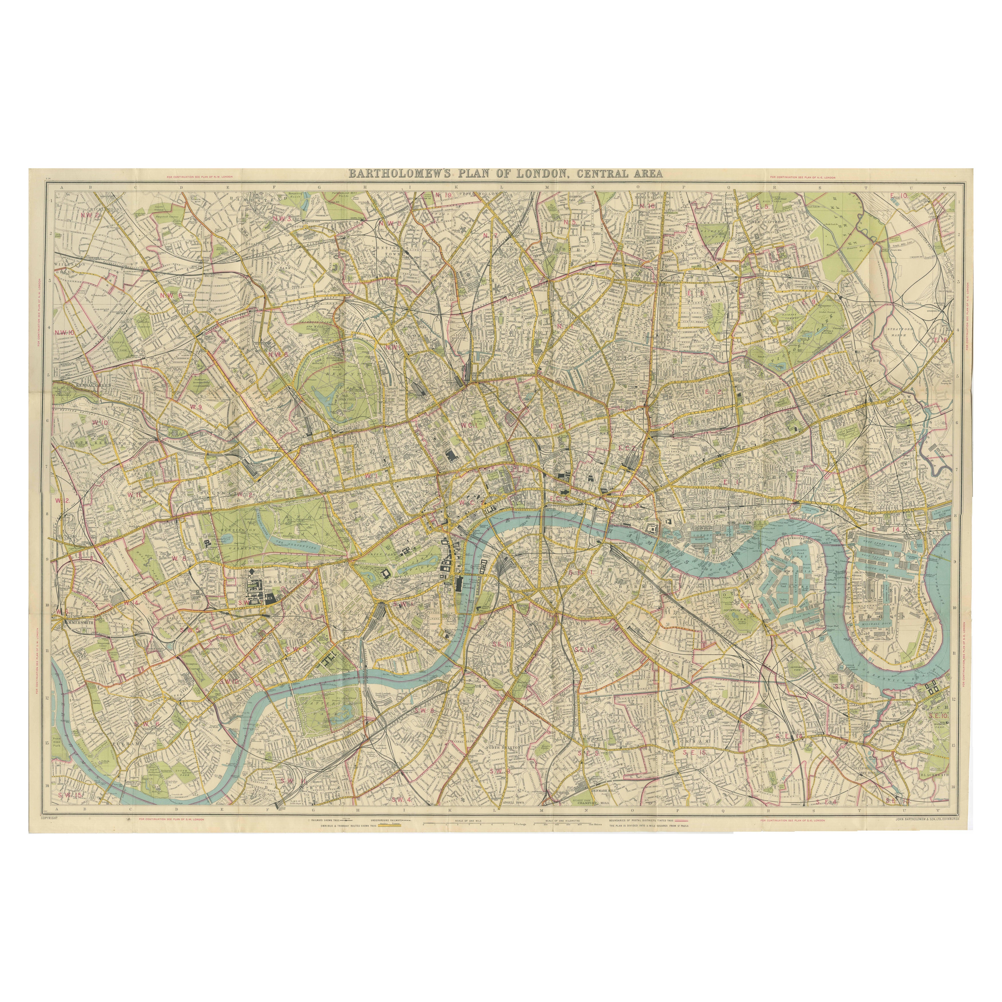
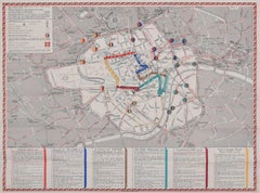
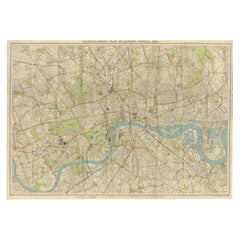
Vintage Map of London – Bartholomew’s Plan of Central London, c.1929
Located in Langweer, NL
London Central Map c.1929 – Bartholomew Antique City Plan
This detailed city plan, titled “Bartholomew’s Plan of London, Central Area,” was published by John Bartholomew & Son, Edin...
Category
Early 20th Century Scottish Maps
Materials
Paper
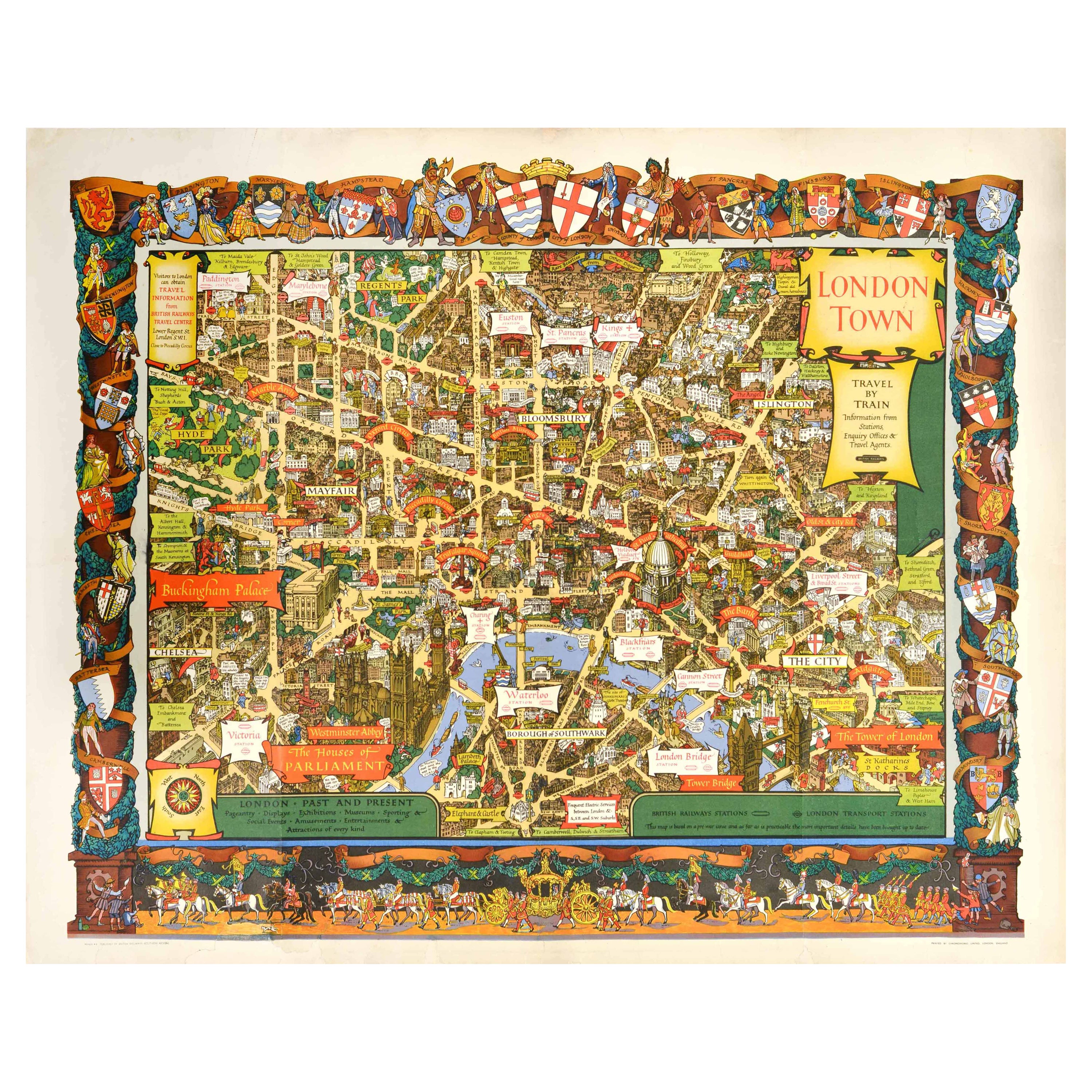
Original Vintage Travel By Train London Town Pictorial Map Poster Kerry Lee
By Kerry Lee
Located in London, GB
Original vintage Travel By Train map poster for London Town by the British artist, illustrator and poster designer Kerry Lee (1902-1988) featuring a detailed...
Category
Vintage 1950s British Posters
Materials
Paper
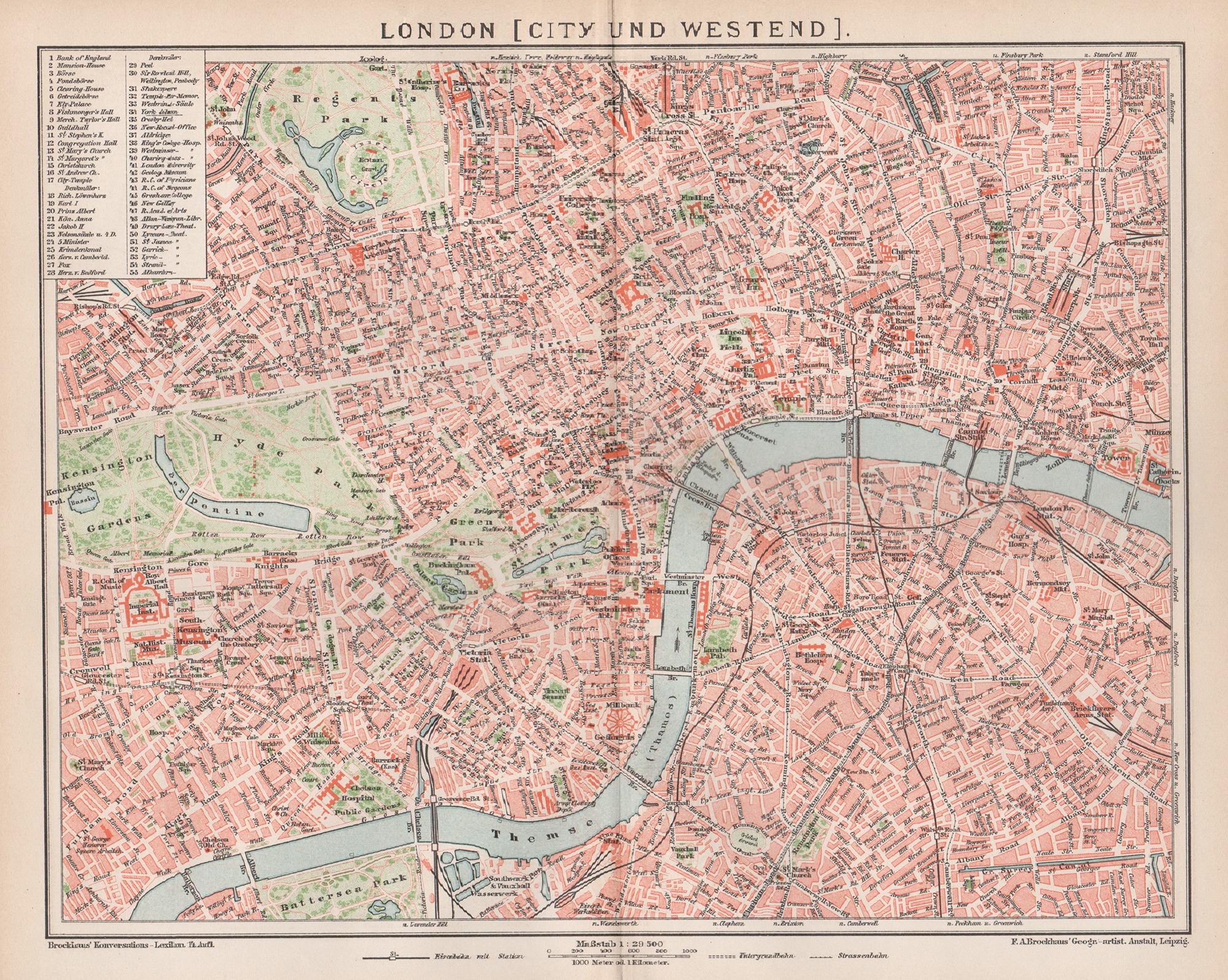
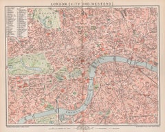
London, City and West End. Antique Map City Plan Chromolithograph, circa 1895
Located in Melbourne, Victoria
'London (City Und Westend)'
Colour lithograph. 1895.
250mm by 305mm (sheet).
Late 19th century German lithograph plan of London, City and West End.
Central vertical fold.
Category
Late 19th Century Victorian More Prints
Materials
Lithograph
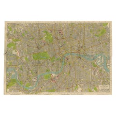
Vintage Map of London – Phillips’ Tape Indicator Map of Central London, c.1930
Located in Langweer, NL
Phillips Tape Indicator Map of London c.1930 – Antique City Plan
This large and detailed map of central London is titled “Phillips’ Tape Indicator Map of London.” It was published b...
Category
Early 20th Century Scottish Maps
Materials
Paper
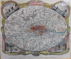
Antique Map of London by Thomas Moule and William Schmollinger
Located in Rochester, NY
Decorative engraved map of London by William Schmollinger for Moule's English County maps. Hand colored. Circa 1830's.
Category
Antique Early 19th Century English Prints
Materials
Paper