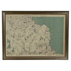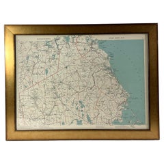
1891 Map of South Shore of Boston
Located in Norwell, MA
Original 1891 map showing Cohasset, Scituate, Marshfield, Duxbury, Kingston, Norwell, Hanover, Hingham, Hull, Holbrook, Weymouth, Hanson, Pembroke, etc. Framed with glass. Circa 1891.
Category
Antique 1890s North American Prints
Materials
Paper