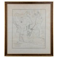
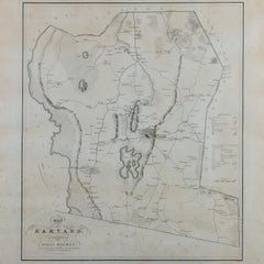
Silas Holman Map of Harvard
Located in Savannah, GA
A framed historic map of Harvard, as surveyed in 1831 by Silas Holman, reproduced circa 1920s.
Category
1920s Other Antique Maps Framed
Materials
Glass, Wood, Paper
Silas Holman Map of Harvard
Located in Savannah, GA
A framed historic map of Harvard, as surveyed in 1831 by Silas Holman, reproduced circa 1920s.
Glass, Wood, Paper
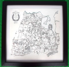
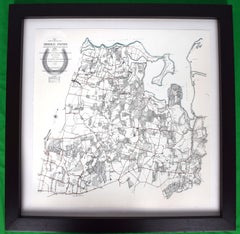
Map Showing Bridle Paths Maintained By The Country Lanes Commitee
Located in Bristol, CT
Map Sz: 22 3/4"H x 22 3/4"W Frame Sz: 29"H x 29"W Publisher: The Country Lanes Committee Map Showing Approximate Location & General Direction of Bridle Paths Maintained by the...
Lithograph
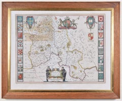
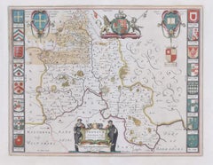
Map of Oxfordshire by Joan Blaeu with college crests
By Joan (Johannes) Blaeu
Located in London, GB
To see our other original maps, scroll down to "More from this Seller" and below it click on "See all from this Seller" - or send us a message if you cannot find the poster you want....
Engraving
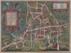
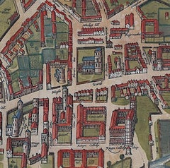
Map of Cambridge, c.1572 engraving by Braun & Hogenberg
Located in London, GB
To see our other views of Oxford and Cambridge, scroll down to "More from this Seller" and below it click on "See all from this Seller" - or send us a message if you cannot find the ...
Engraving
$940Sale Price|20% Off
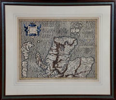
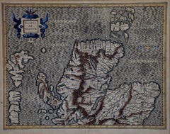
Northern Scotland: 16th Century Hand-colored Map by Mercator
By Gerard Mercator
Located in Alamo, CA
This is a framed hand-colored 16th century map of Northern Scotland by Gerard Mercator entitled "Scotiae pars Septentrionalis", published in Amsterdam in 1636.
Engraving
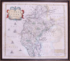
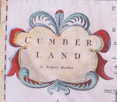
17th Century map of Cumberland, UK by Robert Morden
Located in Petworth, West Sussex
Robert Morden (British, circa 1650 – 1703) A map of Cumberland with hand colouring An engraving 14.1/4 x 16.5/8 in. (36.5 x 42.5 cm.)
Engraving
$940Sale Price|20% Off
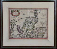
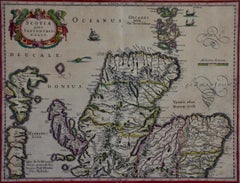
Northern Scotland: 17th Century Hand-colored Map by Mercator
By Gerard Mercator
Located in Alamo, CA
This is a framed hand-colored 17th century map of Northern Scotland by Gerard Mercator entitled "Scotiae pars Septentrionalis", published in Amsterdam in 1636.
Engraving
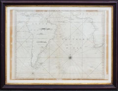
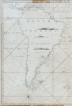
Antique Map of the Southern Oceans, South America and Africa
Located in New York, NY
Framed: 25 3/4 x 33 3/4 in.
Engraving
$1,580Sale Price|20% Off
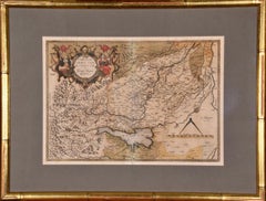
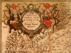
Northern Italy: A 16th Century Hand-colored Map by Abraham Ortelius
By Abraham Ortelius
Located in Alamo, CA
This striking hand-colored map of northern Italy is presented in a gold-colored wood frame and an olive green-colored mat.
Engraving
$1,020Sale Price|20% Off
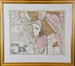
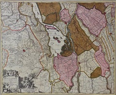
Southern Holland: An Original 17th C. Hand-colored Visscher Map "Hollandiae"
By Nicolaus Visscher
Located in Alamo, CA
It includes a decorative cartouche in the lower left corner. The map is presented in an attractive maple colored wood frame with gold trim and a fabric mat.
Engraving
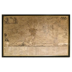
18th Century Map of Rome & Surrounding Vicinity
Located in New Orleans, LA
Intriguing framed map of Rome and the surrounding vicinity featuring detailed cartography, ornamental illustrations, and text index at the bottom.
Paper
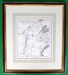
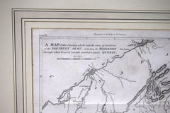
American Revolution Map Drawn For John Marshall's "Life Of Washington" First Acc
Located in Bristol, CT
A Map Of The Country Which Was The Scene Of Operations Of The Northern Army: Including The Wilderness Through Which Gerneral Arnold Marched To Attack Plate VI Map Sz: 11"H x 9 1/4"W...
Paper, Engraving
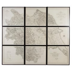
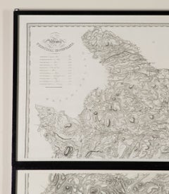
Very Large Early 19th Century Wall Map of Yorkshire
Located in Gloucestershire, GB
An incredibly large and wonderful early 19th Century wall map of Yorkshire. Christopher Greenwood's large-scale map of Yorkshire.
Paper
$1,180Sale Price|20% Off
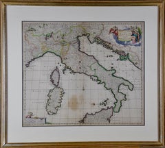
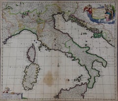
17th Century Dutch Map of Italy, Sicily, Sardinia, Corsica and Dalmatian Coast
By Theodorus Danckerts
Located in Alamo, CA
Various ships can be seen sailing in the waters as a naval battle rages in the Tyrrhenian Sea. The map is presented in a tan colored wood frame with light gold colored inner and out...
Engraving
$1,180Sale Price|20% Off
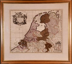
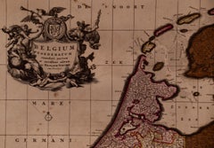
Belgium and the Netherlands: A Hand-colored 17th Century Map by Visscher
By Nicolaus Visscher
Located in Alamo, CA
There is a decorative cartouche in the upper left corner and a distance scale cartouche in the lower right corner. The map is presented in an attractive antiqued medium brown-colore...
Engraving
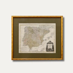
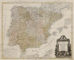
After Johann B. Homann (1664-1724) - 19th C, General Map of Spain and Portugal
Located in Corsham, GB
A double-page engraved map with hand-colouring. Well presented in a beautiful gilt-effect frame and coloured card mount.
Engraving
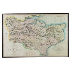
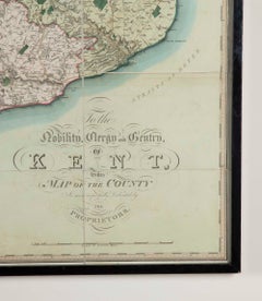
Large Scale Early 19th Century Wall Map of Kent (1821)
Located in Gloucestershire, GB
Note, framed in a black lacquer frame. This striking map exemplifies the exceptional craftsmanship and precision that established the Greenwoods as leading figures in early 19th-cent...
Paper
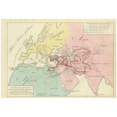
Ancient World Map, Roman Macedonian Persian Empires, Ferrario 1815
Located in Langweer, NL
The map is offered unframed, giving flexibility to select a frame that best suits the intended interior.
Paper
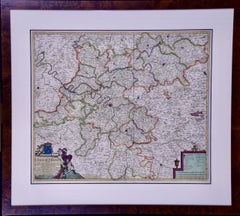
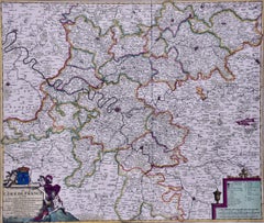
$940Sale Price|20% Off
L'Isle de France: A Hand-colored 17th Century Map by De Wit
By Frederick de Wit
Located in Alamo, CA
A scale cartouche is found in the lower right. This hand-colored map is presented in a brown burl wood frame with a cream-colored mat with a black inner trim mat.
Engraving
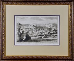
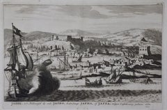
$860Sale Price|20% Off
18th Century French Map and City View of Joppe/Jaffa (Tel Aviv) by Sanson
By Nicholas Sanson d'Abbeville
Located in Alamo, CA
The map is presented in an ornate brown wood frame embellished by gold-colored leaves and gold inner trim with a double mat; the outer mat is cream-colored and the inner mat is black.
Engraving
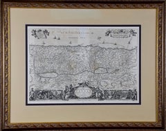
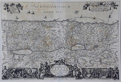
$1,020Sale Price|20% Off
17th Century Dutch Map of the Holy Land at the Time of Jesus by Visscher
By Nicolaus Visscher
Located in Alamo, CA
The map is presented in an ornate brown wood frame embellished by gold-colored leaves and gold inner trim with a double mat; the outer mat is cream-colored and the inner mat is black.
Engraving
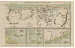
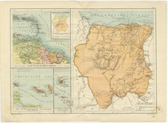
Suriname, Curaçao & Dutch Guinea – Jacob Kuyper Colonial Atlas Map, 1882
Located in Langweer, NL
The map is sold unframed; any framed images are shown for presentation and interior inspiration only and may not always be to scale with the original.
Paper
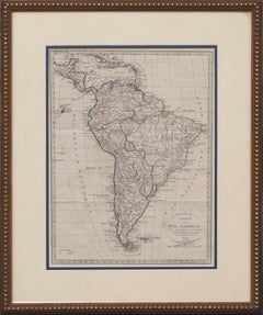
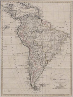
$325
Charte von Sud-America (Map of South America) - Etching with Hand-Drawn Outlines
Located in Soquel, CA
Weiland). 1820. Engraved broadside map, 18 x 12 inches, with color outline. Folded, but a very good copy."
Paper, Printer's Ink, Etching
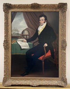
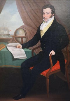
ANGLO-AMERICAN SCHOOL C. 1820'S PORTRAIT OF MERCHANT ON SHIP WITH GLOBE & MAP
Located in Cirencester, Gloucestershire
Medium: oil painting on canvas, framed. Size: canvas: 28 x 20.5 inches, framed: 34 x 26 inches Provenance: private collection, England.
Oil, Canvas
$1,340Sale Price|20% Off
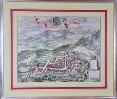
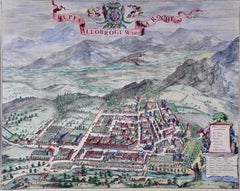
Dutch Map and City Plan of La Roche-sur-Foron, France, 17th Century Hand Colored
By Coenraet Decker
Located in Alamo, CA
There is a vertical center fold, as issued. The map is in excellent condition. There are small abrasions and chips to the frame.
Engraving
$620Sale Price|20% Off
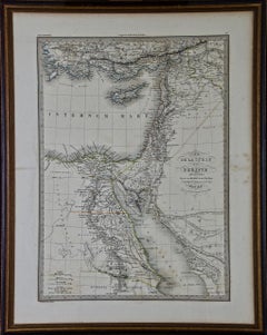
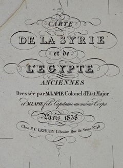
Map of the Holy Land "Carte de la Syrie et de l'Egypte" by Pierre Lapie
By Pierre M. Lapie
Located in Alamo, CA
The map is hand-colored in outline. It is presented in a brown wood frame.
Engraving
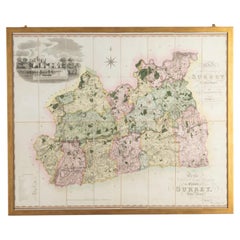

Large Scale Early 19th Century Original Wall or Folding Map of Surrey
Located in Gloucestershire, GB
Note, This map is now framed. Christopher (1786–1855) and John Greenwood (1791–1840) were brother cartographers who produced large-scale maps of England and Wales in the 1820s.
Paper
$940Sale Price|20% Off
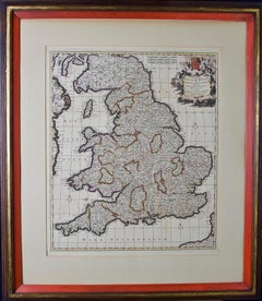
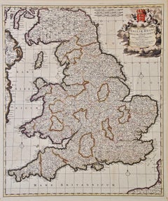
England and the British Isles: A Large 17th Century Hand-colored Map by de Wit
By Frederick de Wit
Located in Alamo, CA
The map is presented in a large attractive brown wood frame with red interior trim and gold highlight along the forward edge.
Engraving
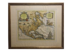
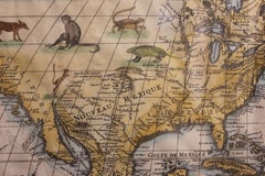
New Revised North America Map with Mythical Figures and Animals
Located in Houston, TX
The publisher was Chez Pierre Mortier and the Creator was Guillaume de I'Isle. The map is framed in a gold wooden frame. Geographical Description: Map of North and Central America s...
Engraving
$460Sale Price|20% Off
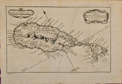
St. Christophe (St. Kitts): Bellin 18th Century Hand Colored Map
Located in Alamo, CA
Lucie framed in lucite, Reference: LU117324370471. These maps would make a striking display grouping.
Engraving
$460Sale Price|20% Off
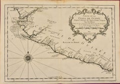
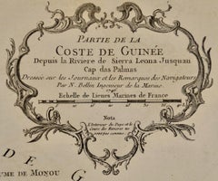
West Coast of Africa; Guinea & Sierra Leone: Bellin 18th Century Map
Located in Alamo, CA
Christophe", Reference #: LU117328585712 and a map of St. Lucie framed in lucite, Reference: LU117324370471.
Engraving
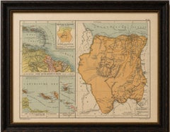
Suriname & the Dutch Antilles – Colonial Atlas Map by W.J. Thieme, c.1905
Located in Langweer, NL
The soft pastel palette and balanced multi-map composition make it particularly attractive when framed.
Paper
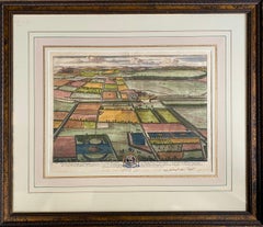
$960Sale Price|20% Off
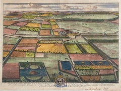
“Haughton in the County of Nottingham” (Near Newark Upon Trent)
By Johannes Kip
Located in Southampton, NY
The result is a cross between a landscape view and a map. Exquisite matting and framing. Overall framed measurements are 27 by 31.5 inches.
Engraving
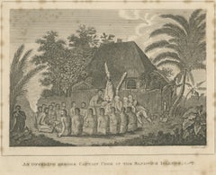
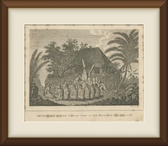
Offering Before Captain Cook, Hawaii, after Webber, Antique Print, circa 1820
Located in Langweer, NL
It would sit well in a study or library beside maps of the Pacific, framed simply with a wide cream mount and a narrow dark wood moulding.
Paper
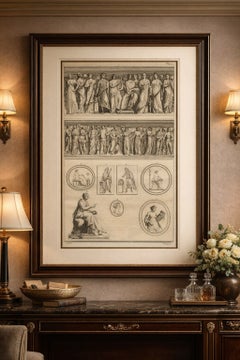
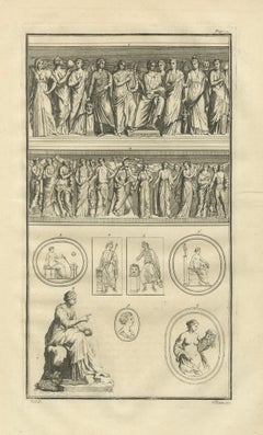
Large Classical Relief Engraving with Female Figures – Montfaucon, London 1721
Located in Langweer, NL
Minor edge wear and light surface handling, consistent with early 18th-century folio engravings. Framing suggestions: The map is offered unframed, enabling custom framing to persona...
Paper
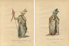
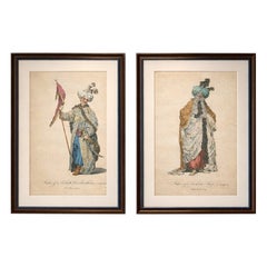
Antique Ottoman Costume Prints Pair, Standard Bearer & Turkish Priest, 1749
Located in Langweer, NL
All items we offer are authentic period works of art over 100 years old. The map is sold unframed; any framed images are shown for presentation and interior inspiration only.
Paper
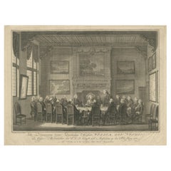
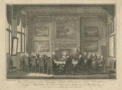
Meeting of the VOC Directors with Prince William V, Amsterdam 1768
Located in Langweer, NL
The detailed architectural setting features large windows, draped curtains, an elaborate fireplace with paintings above, and numerous framed maps and maritime scenes on the walls, em...
Paper
$492Sale Price|20% Off
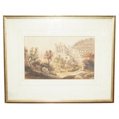
19TH CENTURY TINTERN ABBEY FRANCIS NICHOLSON 1753-1844 WATERCOLOUR PAiNTING
Located in West Sussex, Pulborough
Bowen was also commissioned for his expertise in map making by King Louis XV of France, born 1710 - died 1774 The map is framed in this lovely pollard oak frame with gallery glass a...
Paper
Antique and vintage collectibles and curiosities can bring whimsy and wonder to any interior.
Decorating with old scientific instruments, historical memorabilia and vintage musical instruments, as well as other authentic collectibles and curiosities that can be found on 1stDibs, presents an opportunity to create a unique, natural history museum-like atmosphere in your home that can provoke conversation as often as it pays tribute to how far we’ve come in understanding our world.
And bringing collectibles and curiosities into your space is actually on trend — Wunderkammern, or curiosity cabinets, were all the rage in Europe during the 1500s and continued to have adherents there and in the U.S. in the following centuries. Today, however, they’re experiencing a real surge in popularity and influencing how many interior designers are furnishing and decorating homes — combining contemporary with antique, scientific with tribal, earthly with extraterrestrial, Les Lalanne tables with Flemish tapestries.
The original Wunderkammern were entire rooms filled with objects demonstrating their owners’ worldly knowledge: A proper one included artificiala or preciosa (objets d’art); naturalia (such as skeletons, shells, minerals); exotica (taxidermy or dried plants); and scientifica (scientific instruments), frequently alongside religious relics and ancient artifacts.
Pay tribute to a history of rich and diverse musical traditions that have taken shape all over the world by decorating your home with a collection of antique and vintage musical instruments — with a little help from strong hanging wire or some wall hooks, vintage brass instruments such as a gong, French horn or trumpet can help elevate a home office or complement the efforts you’ve made to ensure a welcoming vibe in your home’s entryway. Bells or antique wind instruments can add provocative metallic contrasts to dark woods as tabletop decorative objects.
Create an intriguing focal point with Georgian scientific instruments, such as stick barometers with mahogany cases or lacquered brass telescopes. These items stem from an era named for the monarchies of the four King Georges, who ruled England in succession starting in 1714 (plus King William’s reign, which lasted until 1837). Just as there was beautiful jewelry produced during the period that today is coveted by collectors, there is much to be found in the collectibles and curiosities realm too.
Wanderlust, nostalgia and a shared love of good design are contributing factors to certain trends in decorating — just as vintage trunks and luggage have reappeared as furniture or home accents in a bedroom or foyer, decorating with globes, maps or nautical objects is similarly rooted in the allure of travel and a penchant for the stylish finishing touch that collectibles bring to our homes.
Find a wide range of antique and vintage collectibles and curiosities on 1stDibs.
It's hard to resist the allure of a beautiful pool. So, go ahead and daydream about whiling away your summer in paradise.
It’s never too early for good design. These interiors combine elevated furnishings and a youthful spirit, resulting in spaces that are at once elegant and whimsical.
Produced in 1843, the well-preserved volume is evidence of the author's exacting specifications.
New or old, the coverlets add old-time charm to any space.
Get into the games! These items celebrate the events, athletes, host countries and sporting spirit.
French trendsetter and serial collector Daniel Rozensztroch tells us about his obsession with objects related to seafaring men.
The sought-after designer worked with the team at Hoffman Creative to produce a monograph that beautifully showcases some of Studio Shamshiri's most inspiring projects.
Italian writer and collector Umberto Pasti opens the doors to his remarkable cave of wonders in North Africa.