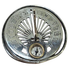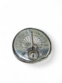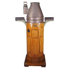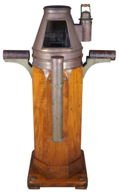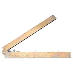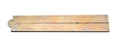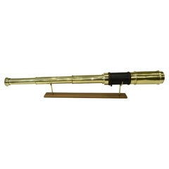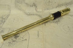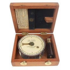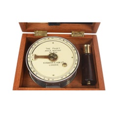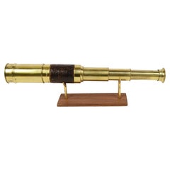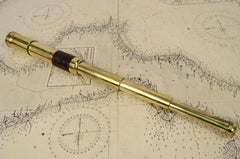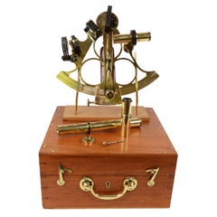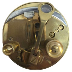
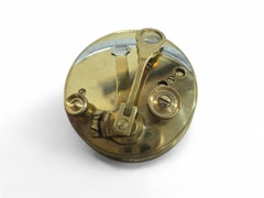
Portable Bronze Sextant for Nautical Navigation
Located in Madrid, ES
craftsmanship and engineering typical of early navigational tools. In good condition, with a rich aged patina
Category
Early 20th Century Antique Navigational Tools
Materials
Bronze