Bengal Map

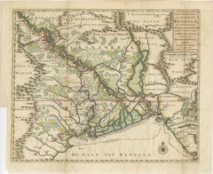
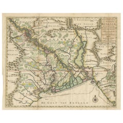
1726 Map of Bengal by Van der Aa after Valentijn – Dutch East Indies

1726 Map of Bengal by Van der Aa after Valentijn – Dutch East Indies

Located in Langweer, NL

Keywords block for your listing: bengal map, van der aa, valentijn map, dutch east india company, voc map, 18th century india map, antique bengal map, orissa map, assam map, tripura ...

Category

Antique Early 18th Century Dutch Maps

Materials

Paper

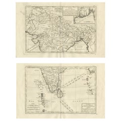
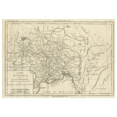
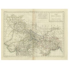
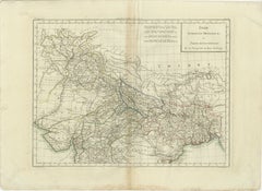
India & Bengal after Bonne – Enlightenment French Cartography, Two-Map Set, 1780

India & Bengal after Bonne – Enlightenment French Cartography, Two-Map Set, 1780

Located in Langweer, NL

India & Bengal after Bonne – Enlightenment French Cartography, Two-Map Set c.1780 This refined two-map set depicts northern and southern India with Bengal, engraved circa 1780 by Ri...

Category

Antique Late 18th Century French Maps

Materials

Paper

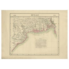
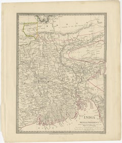
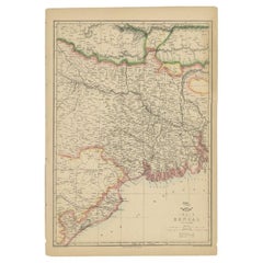
Detailed Orginal Antique Map of Bengal, India, c.1825

Detailed Orginal Antique Map of Bengal, India, c.1825

Located in Langweer, NL

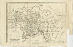
Antique map titled 'No. 95 Bengale'. Detailed map of Bengal, Bangladesh.

Category

Antique 19th Century Belgian Maps

Materials

Paper

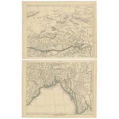
Antique Map of the Region of the Bay of Bengal by Lowry, 1852

Antique Map of the Region of the Bay of Bengal by Lowry, 1852

Located in Langweer, NL

Two individual sheets of the region of the Bay of Bengal. This map originates from 'Lowry's table Atlas constructed and engraved from the most recent authorities' by J.W.

Category

Antique Mid-19th Century Maps

Materials

Paper

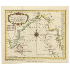
Antique Map of the Gulf of Bengal by J.N. Bellin, circa 1760

Antique Map of the Gulf of Bengal by J.N. Bellin, circa 1760

Located in Langweer, NL

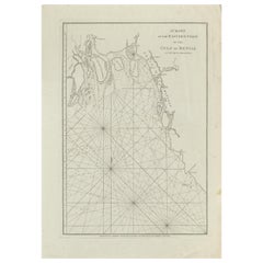
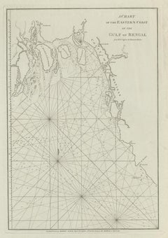
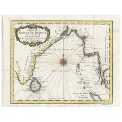
Beautiful chart of the Gulf of Bengal. The map extends from Malabar to Sumatra and today Phuket area in Thailand.

Category

Antique Mid-18th Century Maps

Materials

Paper

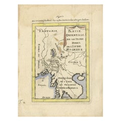
Antique Map of India and the Gulf of Bengal by Mallet, c.1686

Antique Map of India and the Gulf of Bengal by Mallet, c.1686

Located in Langweer, NL

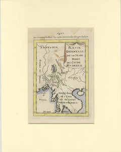
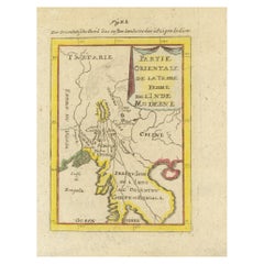
Small map of India and the Gulf of Bengal. This map originates from a German edition of 'Description de l' Univers'.

Category

Antique 17th Century Maps

Materials

Paper

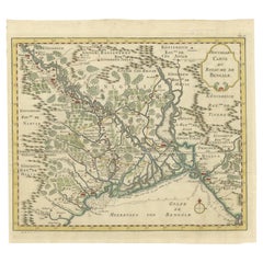
Detailed Regional Map of the Gulf of Bengal and the Lower Ganges River, ca.1750

Detailed Regional Map of the Gulf of Bengal and the Lower Ganges River, ca.1750

Located in Langweer, NL

Title of this original and rare antique map: Nouvelle Carte Du Royaume De Bengale Mapmaker: Jacques-Nicolas Bellin (1703-1772). He was among the most important mapmakers of th...

Category

Antique 1750s Maps

Materials

Paper

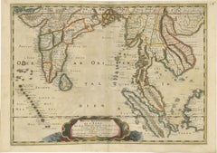
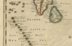
1654 Nicolas Sanson Map of Southern India and Southeast Asia

1654 Nicolas Sanson Map of Southern India and Southeast Asia

Located in Langweer, NL

1654 Nicolas Sanson Map of Southern India and Southeast Asia - Partie Meridionale de L'Inde This 1654 map by Nicolas Sanson, titled "Partie Meridionale de L'Inde en deux Presqu'Is...

Category

Antique 1650s French Maps

Materials

Paper

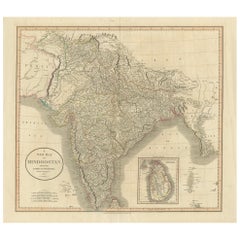
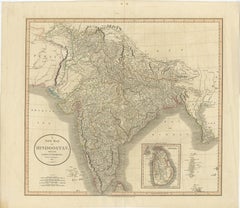
1806 John Cary Map of Hindoostan – Detailed British Cartography of India

1806 John Cary Map of Hindoostan – Detailed British Cartography of India

Located in Langweer, NL

Key geographical features such as the Himalayan range, the extensive river systems of the Ganges and Indus, and coastal boundaries along the Arabian Sea and Bay of Bengal are clearly...

Category

Antique Early 1800s Maps

Materials

Paper

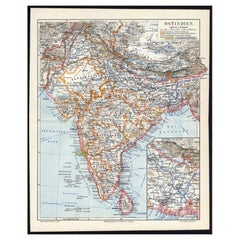
Antique German Map of India and Sri Lanka or Ceylon, 1902

Antique German Map of India and Sri Lanka or Ceylon, 1902

By Meyer

Located in Langweer, NL

Antique map titled 'Ostindien.' (Map of India with an inset map of East-Bengal.)

Category

20th Century Maps

Materials

Paper

Recent Sales

Antique Map of the Bay of Bengal by Van Schley '1747'

Antique Map of the Bay of Bengal by Van Schley '1747'

Located in Langweer, NL

Original antique map of the Bay of Bengal, bounded on the west and northwest by India, on the north by Bangladesh, and on the east by Myanmar and the Andaman and Nicobar Islands of I...

Category

Antique Mid-18th Century Maps

Materials

Paper

Antique Map of the Region of the Bay of Bengal, India, c.1863

Antique Map of the Region of the Bay of Bengal, India, c.1863

By Edward Weller

Located in Langweer, NL

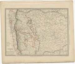
Antique map titled 'India Bengal'. Old map of India depicting the region near the Bay of Bengal.

Category

Antique 19th Century Maps

Materials

Paper

You May Also Like

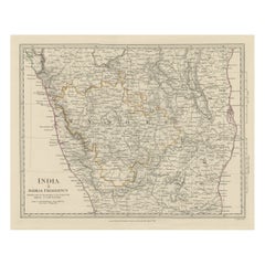
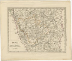
Old Steel Engraved Map of the Western Part of the Madras Presidency, 1831

Old Steel Engraved Map of the Western Part of the Madras Presidency, 1831

Located in Langweer, NL

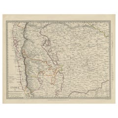
Antique map titled 'India II Madras Presidency'. Old steel engraved map of the western part of the Madras Presidency. The Madras Presidency, or the Presidency of Fort St. George, a...

Category

Antique 1830s Maps

Materials

Paper

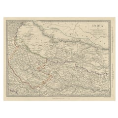
Original Old Map Northeast India, incl Part of Himalayas and China, 1853

Original Old Map Northeast India, incl Part of Himalayas and China, 1853

Located in Langweer, NL

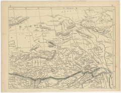
Antique map titled 'India X'. Old map of the the northeast region of India, including part of Himalayas and China. Great detail of landforms, rivers and water bodies, cities, towns...

Category

Antique 1850s Maps

Materials

Paper

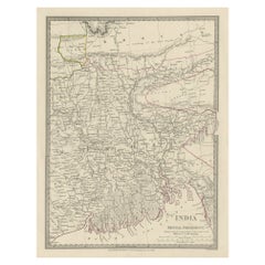
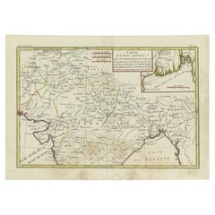
Antique Map of Northern India by Bonne, 1780

Antique Map of Northern India by Bonne, 1780

$266

H 10.04 in W 14.18 in D 0 in

Antique Map of Northern India by Bonne, 1780

Located in Langweer, NL

Antique map titled 'Carte de la partie Supérieure de l'Inde (..)'. A fine example of Rigobert Bonne and Guilleme Raynal?s 1780 map of northern India. Covers the northern part of Indi...

Category

Antique 18th Century Maps

Materials

Paper

Authentic Antique Map of India and Ceylon,  1875

Authentic Antique Map of India and Ceylon, 1875

$452

H 18.71 in W 24.02 in D 0.02 in

Authentic Antique Map of India and Ceylon, 1875

Located in Langweer, NL

Antique map titled 'Carte générale des Indes'. Large map of India and Ceylon. This map originates from 'Atlas de Géographie Moderne Physique et Politique' by A. Levasseur. Published ...

Category

Antique Late 19th Century French Maps

Materials

Paper

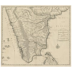
Map of Choromandel & Malabar, Incl Kerala, Tamil Nadu & Part of Sri Lanka, 1726

Map of Choromandel & Malabar, Incl Kerala, Tamil Nadu & Part of Sri Lanka, 1726

$568Sale Price|50% Off

H 21.66 in W 24.81 in D 0.01 in

Map of Choromandel & Malabar, Incl Kerala, Tamil Nadu & Part of Sri Lanka, 1726

Located in Langweer, NL

Antique map titled 'Nieuwe kaart van Choromandel ende Malabar.' Original antique map of Southern India documenting the VOC's areas of influence. Included is Kerala, Tamil Nadu an...

Category

Antique 1720s Dutch Maps

Materials

Paper

Antique Map of Part of the Bombay Presidency in India, 1831

Antique Map of Part of the Bombay Presidency in India, 1831

Located in Langweer, NL

Antique map titled 'India III Bombay Presidency'. Old steel engraved map of part of the Bombay Presidency. The Bombay Presidency, also known as Bombay and Sind from 1843 to 1936 and ...

Category

Antique 19th Century British Maps

Materials

Paper

Antique Map of Eastern India by Kuyper, C.1880

Antique Map of Eastern India by Kuyper, C.1880

Located in Langweer, NL

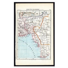
Plate 55 : 'Britsch-Indie, Oost.' (British Indies, East). This lithographed map originates from: 'Wereld-atlas voor Kantoor en Huiskamer' (transl: World Atlas for the office and livi...

Category

Antique 19th Century Maps

Materials

Paper

British India Map with Burma & Ceylon – Nieuwe Hand-Atlas, Leiden 1876

British India Map with Burma & Ceylon – Nieuwe Hand-Atlas, Leiden 1876

Located in Langweer, NL

British India Map with Burma & Ceylon – Nieuwe Hand-Atlas, Leiden 1876 This finely engraved 19th-century map titled “Britsch-Indië” presents the Indian subcontinent and the surround...

Category

Antique 1870s Dutch Maps

Materials

Paper

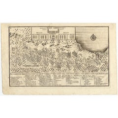
Antique Map of the Expedition of Govert Knol by Valentijn, 1726

Antique Map of the Expedition of Govert Knol by Valentijn, 1726

Located in Langweer, NL

Antique map titled 'Aftekening der Expeditie van de Hr. Commissaris Govert Cnoll uyt Soerabaja, tot afhalinge van Pangerang Adepati Anom'. Map showing the expedition of Commissioner ...

Category

Antique 18th Century Maps

Materials

Paper

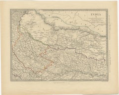
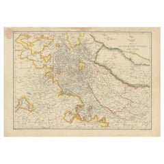
Antique Map of Northwestern India by Weller, 1857

Antique Map of Northwestern India by Weller, 1857

Located in Langweer, NL

Antique map titled 'India, The North West Provinces and Oude'.Detailed map of the northwestern part of India, extending to the Himalaya Mountains. Shows part of Nepal including Dharm...

Category

Antique 19th Century Maps

Materials

Paper

Antique Map of the Region of Gujarat and Cutch in India, 1833

Antique Map of the Region of Gujarat and Cutch in India, 1833

$269Sale Price|20% Off

H 16.15 in W 13.39 in D 0 in

Antique Map of the Region of Gujarat and Cutch in India, 1833

Located in Langweer, NL

Antique map titled 'India V'. Old steel engraved map of the region of Gujarat and Cutch showing great detail. Artists and Engravers: Engraved by J. & C. Walker. Published under the...

Category

Antique 19th Century Maps

Materials

Paper

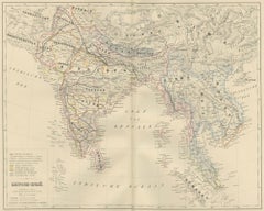
Antique Map of India and Southeast Asia by Balbi '1847'

Antique Map of India and Southeast Asia by Balbi '1847'

$139Sale Price|20% Off

H 9.06 in W 11.23 in D 0.02 in

Antique Map of India and Southeast Asia by Balbi '1847'

Located in Langweer, NL

Antique map titled 'India en deçà et au delà du Gange'. Original antique map of India and Souteast Asia. This map originates from 'Abrégé de Géographie (..)' by Adrien Balbi. Publish...

Category

Antique Mid-19th Century Maps

Materials

Paper

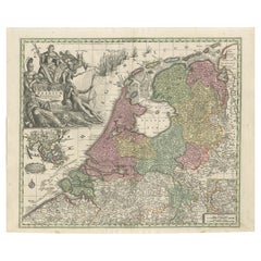
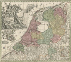
Dutch Republic & East Indies, Belgium Foederatum Map by Seutter, 18th Century

Dutch Republic & East Indies, Belgium Foederatum Map by Seutter, 18th Century

Located in Langweer, NL

Dutch Republic & East Indies, Belgium Foederatum Map by Seutter, 18th Century This impressive antique map titled Belgium Foederatum Auctius Et Emendatius depicts the Seven United Pr...

Category

Antique Early 18th Century German Maps

Materials

Paper

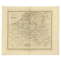
Antique Map of Belgium and Part of the Southern Netherlands, 1810

Antique Map of Belgium and Part of the Southern Netherlands, 1810

Located in Langweer, NL

Antique map titled 'Belgium, or the Netherlands divided into Departments'. Original antique map of Belgium and the southern part of the Netherlands. This map originates from 'The Mod...

Category

Antique 19th Century Maps

Materials

Paper

Original Detailed Antique Map of Southern India and Most of Ceylon, 1744

Original Detailed Antique Map of Southern India and Most of Ceylon, 1744

Located in Langweer, NL

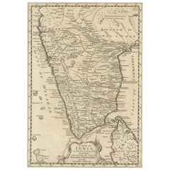
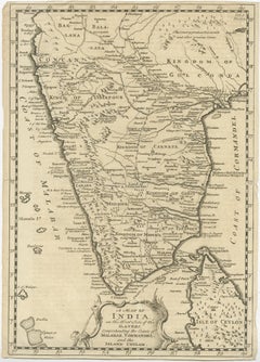
Antique map titled 'A Map of India on the west Side of the Ganges, comprehending the coasts of Malabar, Coromandel and the Island Ceylon'. Map of Southern India and most of Ceylo...

Category

Antique 1740s Maps

Materials

Paper

Antique Map of India and Ceylon by Pierre M. Lapie, Paper, 1842

Antique Map of India and Ceylon by Pierre M. Lapie, Paper, 1842

Located in Langweer, NL

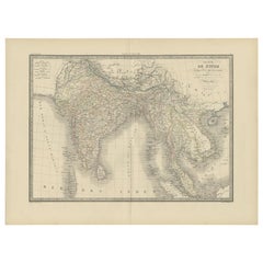
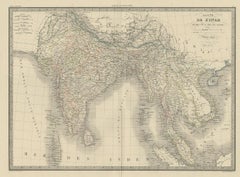
Antique map titled 'Carte de l'Inde en deca et au dela du Gange'. Map of India and Ceylon (Sri Lanka). This map originates from 'Atlas universel de géographie ancienne et moderne (.....

Category

Antique Mid-19th Century French Maps

Materials

Paper

Get Updated with New Arrivals
Save "Bengal Map", and we’ll notify you when there are new listings in this category.

Bengal Map For Sale on 1stDibs

Choose from an assortment of styles, material and more with respect to the bengal map you’re looking for at 1stDibs. Each bengal map for sale was constructed with extraordinary care, often using paper. Your living room may not be complete without a bengal map — find older editions for sale from the 18th Century and newer versions made as recently as the 20th Century. You’ll likely find more than one bengal map that is appealing in its simplicity, but Edward Weller, Maqbool Fida Husain and Meyer produced versions that are worth a look.

Finding the Right Collectibles-curiosities for You

Antique and vintage collectibles and curiosities can bring whimsy and wonder to any interior. 

Decorating with old scientific instruments, historical memorabilia and vintage musical instruments, as well as other authentic collectibles and curiosities that can be found on 1stDibs, presents an opportunity to create a unique, natural history museum-like atmosphere in your home that can provoke conversation as often as it pays tribute to how far we’ve come in understanding our world. 

And bringing collectibles and curiosities into your space is actually on trend — Wunderkammern, or curiosity cabinets, were all the rage in Europe during the 1500s and continued to have adherents there and in the U.S. in the following centuries. Today, however, they’re experiencing a real surge in popularity and influencing how many interior designers are furnishing and decorating homes — combining contemporary with antique, scientific with tribal, earthly with extraterrestrial, Les Lalanne tables with Flemish tapestries.

The original Wunderkammern were entire rooms filled with objects demonstrating their owners’ worldly knowledge: A proper one included artificiala or preciosa (objets d’art); naturalia (such as skeletons, shells, minerals); exotica (taxidermy or dried plants); and scientifica (scientific instruments), frequently alongside religious relics and ancient artifacts.

Pay tribute to a history of rich and diverse musical traditions that have taken shape all over the world by decorating your home with a collection of antique and vintage musical instruments — with a little help from strong hanging wire or some wall hooks, vintage brass instruments such as a gong, French horn or trumpet can help elevate a home office or complement the efforts you’ve made to ensure a welcoming vibe in your home’s entryway. Bells or antique wind instruments can add provocative metallic contrasts to dark woods as tabletop decorative objects.  

Create an intriguing focal point with Georgian scientific instruments, such as stick barometers with mahogany cases or lacquered brass telescopes. These items stem from an era named for the monarchies of the four King Georges, who ruled England in succession starting in 1714 (plus King William’s reign, which lasted until 1837). Just as there was beautiful jewelry produced during the period that today is coveted by collectors, there is much to be found in the collectibles and curiosities realm too.

Wanderlust, nostalgia and a shared love of good design are contributing factors to certain trends in decorating — just as vintage trunks and luggage have reappeared as furniture or home accents in a bedroom or foyer, decorating with globes, maps or nautical objects is similarly rooted in the allure of travel and a penchant for the stylish finishing touch that collectibles bring to our homes.

Find a wide range of antique and vintage collectibles and curiosities on 1stDibs.
Read More