Kingdom Of Ireland Maps
to
1
8
5
2
2
1
1
1
1
1
1
1
1
1
Sort By
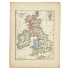
Antique Map of the United Kingdom and Ireland, 1852
Located in Langweer, NL
Antique map titled 'Groot-Brittanje en Ierland'. Map of the United Kingdom and Ireland. This map
Category
Antique 19th Century Maps
Materials
Paper
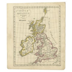
Antique Map of the United Kingdom and Ireland, circa 1825
Located in Langweer, NL
Antique map titled 'Insula Britannicae'. Old map of the United Kingdom and Ireland originating from
Category
Antique 19th Century Maps
Materials
Paper
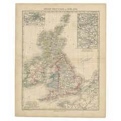
Antique Map of the United Kingdom and Ireland, c.1873
Located in Langweer, NL
Antique map titled 'Groot Brittanje en Ierland'. Old map depicting the United Kingdom and Ireland
Category
Antique 19th Century Maps
Materials
Paper
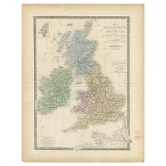
Original Antique Map of the United Kingdom and Ireland, Published in 1875
Located in Langweer, NL
United Kingdom and Ireland. This map originates from 'Atlas de Géographie Moderne Physique et Politique
Category
Antique Late 19th Century Maps
Materials
Paper
H 24.02 in W 18.71 in D 0.02 in
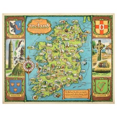
Original Vintage Travel Poster Map of Ireland Showing Places of Note & Interest
Located in London, GB
Original vintage poster - Map of Ireland showing places of note and interest. Colorful illustrated
Category
Vintage 1950s British Posters
Materials
Paper
H 40.16 in W 50.01 in D 0.04 in
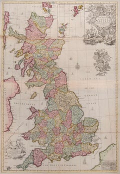
Great Britain
By John Senex
Located in London, GB
one of His Maj[es]ties most Hono[ra]ble Privy Council for Ye Kingdom of Ireland. This Map is dedicated
Category
1710s Naturalistic More Art
Materials
Watercolor, Engraving
Antique Map of the United Kingdom and Ireland by Lapie, 1842
Located in Langweer, NL
of the United Kingdom and Ireland. This map originates from 'Atlas universel de géographie ancienne
Category
Antique Mid-19th Century Maps
Materials
Paper
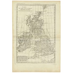
Antique Map of the Kingdoms England, Scotland and Ireland by R. Bonne, 1780
Located in Langweer, NL
d'Irelande'. (Map of Great Britain, containing the kingdoms of England, Scotland and Ireland). This map shows
Category
Antique Late 18th Century Maps
H 15.28 in W 10.24 in D 0.02 in
Get Updated with New Arrivals
Save "Kingdom Of Ireland Maps", and we’ll notify you when there are new listings in this category.
Kingdom Of Ireland Maps For Sale on 1stDibs
At 1stDibs, there are several options of kingdom of ireland maps available for sale. Each of these unique kingdom of ireland maps was constructed with extraordinary care, often using paper, fabric and linen. Kingdom of ireland maps have been made for many years, and versions that date back to the 18th Century alongside those produced as recently as the 20th Century. Kingdom of ireland maps made by Baroque designers — as well as those associated with Victorian — are very popular at 1stDibs. There have been many well-made kingdom of ireland maps over the years, but those made by Kerry Lee, David Lee Theyre Elliott and Gerard Mercator are often thought to be among the most beautiful.
How Much are Kingdom Of Ireland Maps?
Prices for kingdom of ireland maps can differ depending upon size, time period and other attributes — at 1stDibs, kingdom of ireland maps begin at $122 and can go as high as $47,793, while the average can fetch as much as $1,300.
