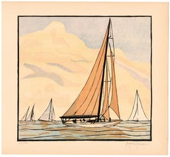
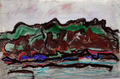
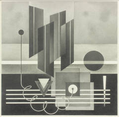
Surely you’ll find the exact nicholas roerich you’re seeking on 1stDibs — we’ve got a vast assortment for sale. There are many
modern and
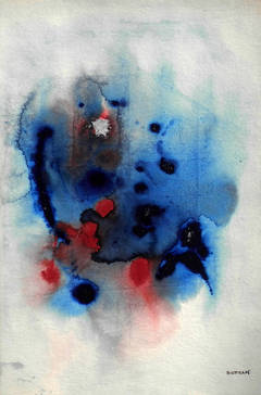
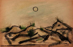
Impressionist versions of these works for sale. Making the right choice when shopping for a nicholas roerich may mean carefully reviewing examples of this item dating from different eras — you can find an early iteration of this piece from the 20th Century and a newer version made as recently as the 21st Century. Adding a nicholas roerich to a room that is mostly decorated in warm neutral tones can yield a welcome change — find a piece on 1stDibs that incorporates elements of
beige,
gray,
orange,
gold and more. There have been many interesting nicholas roerich examples over the years, but those made by
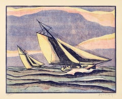
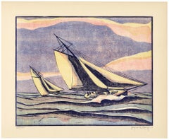
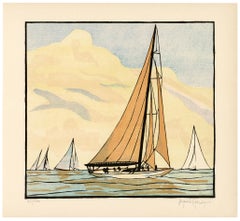
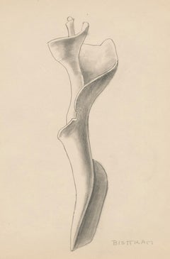
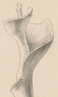
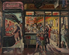
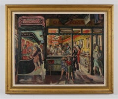
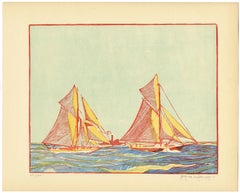
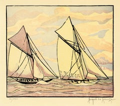
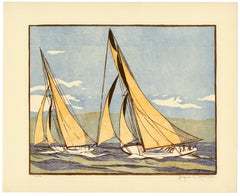
Jacques La Grange,
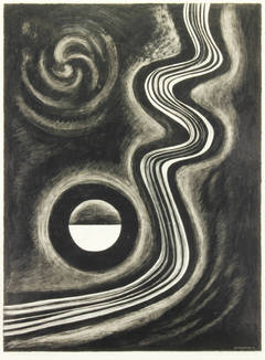
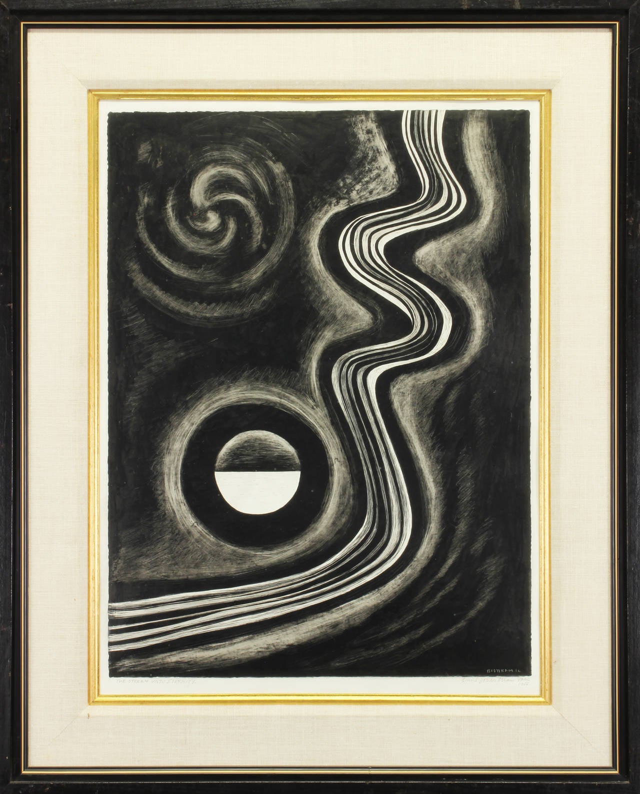
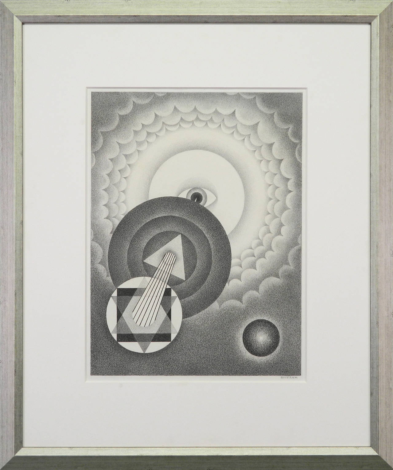
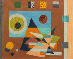
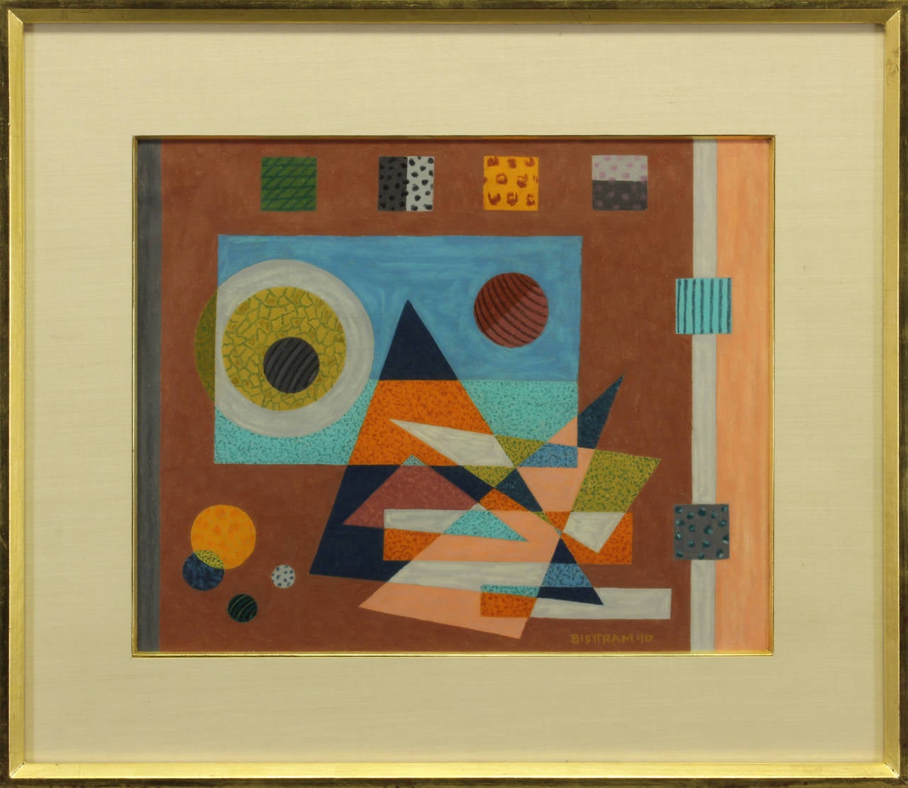
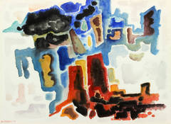
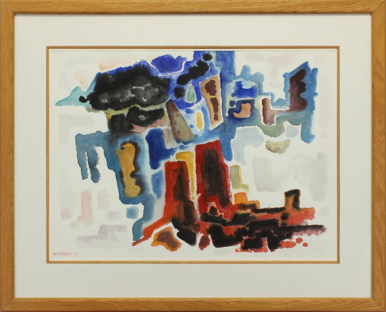
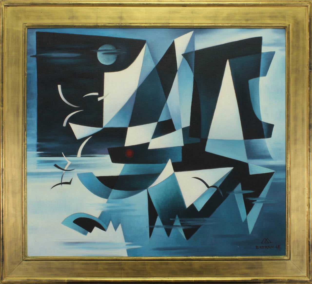
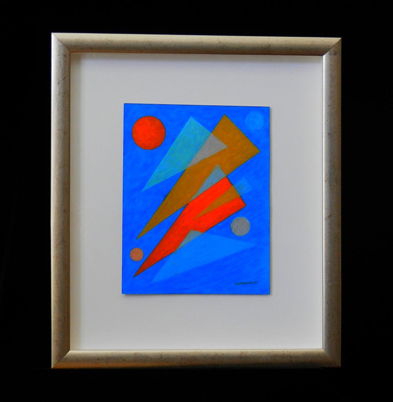
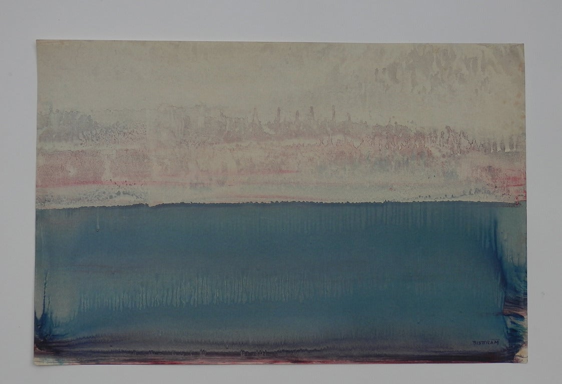
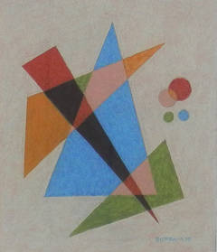
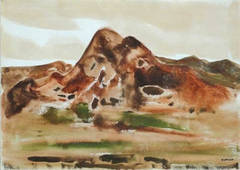
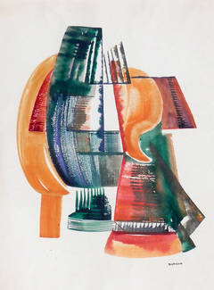
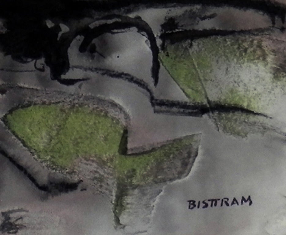
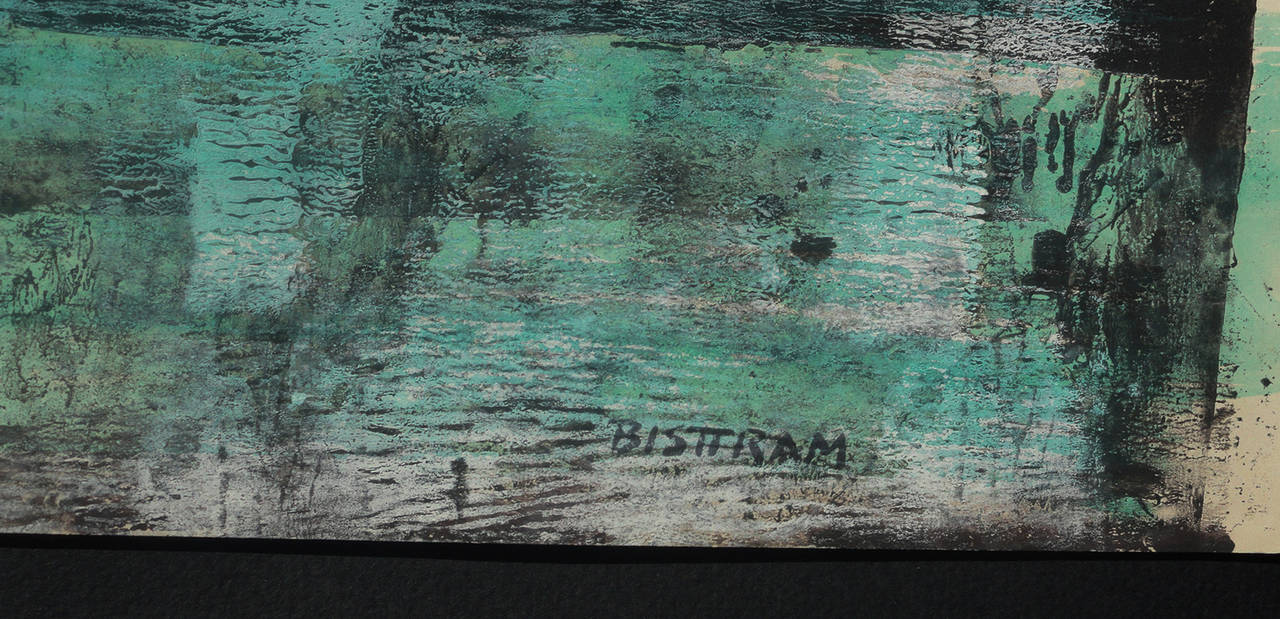
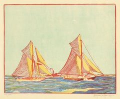
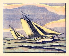
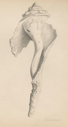
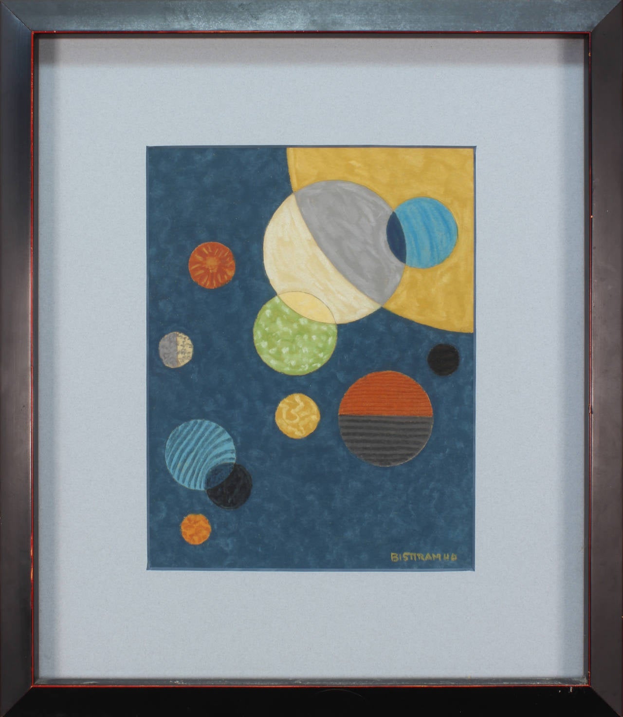
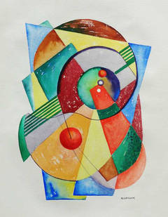
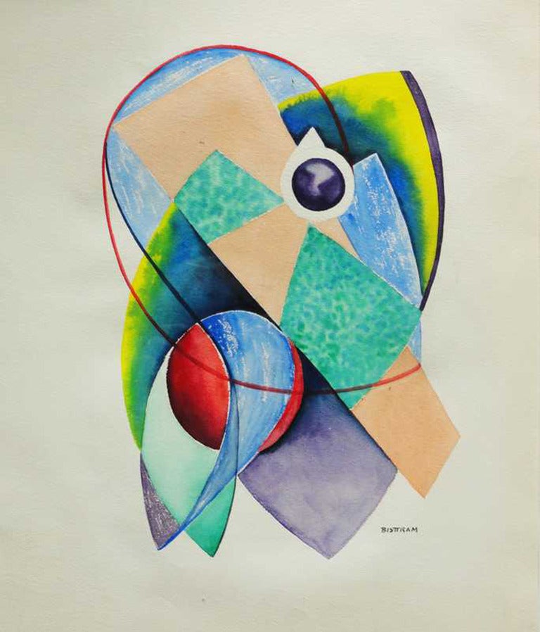
Emil Bisstram and
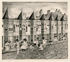
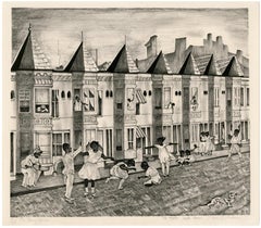
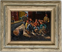
Philip Reisman are often thought to be among the most thought-provoking. Artworks like these — often created in
woodcut print,
oil paint and
paint — can elevate any room of your home.
A nicholas roerich can differ in price owing to various characteristics — the average selling price for items in our inventory is $925, while the lowest priced sells for $325 and the highest can go for as much as $37,000.