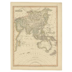
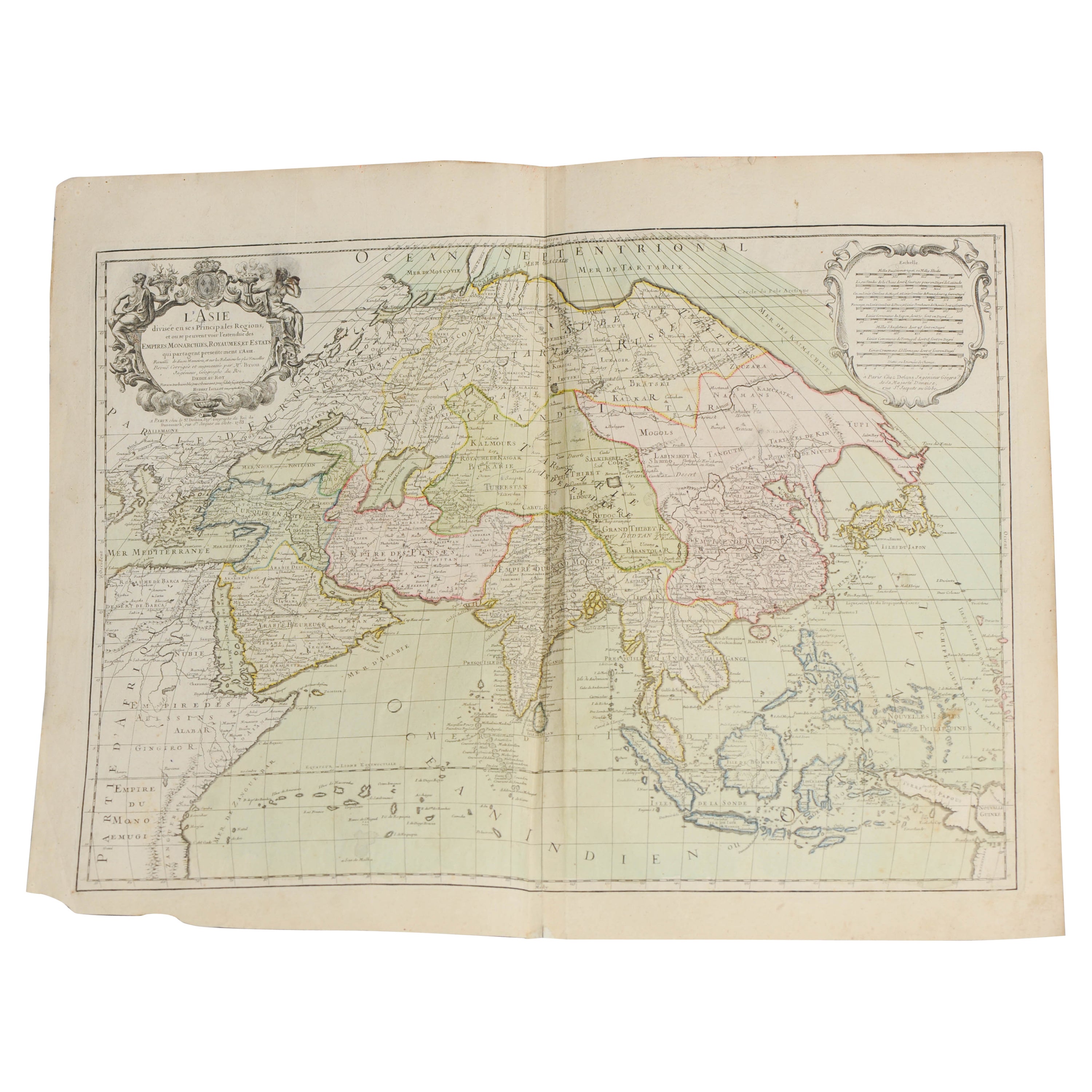
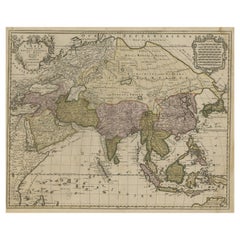
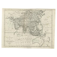
Antique Map of Asia Including Australia 'New Holland', 1808
View Similar Items

Want more images or videos?
Request additional images or videos from the seller
1 of 5
Antique Map of Asia Including Australia 'New Holland', 1808
About the Item
- Dimensions:Height: 15.75 in (40 cm)Width: 11.82 in (30 cm)Depth: 0 in (0.01 mm)
- Materials and Techniques:
- Period:
- Date of Manufacture:1808
- Condition:
- Seller Location:Langweer, NL
- Reference Number:Seller: BG-098941stDibs: LU3054326090822
About the Seller
5.0
Platinum Seller
These expertly vetted sellers are 1stDibs' most experienced sellers and are rated highest by our customers.
Established in 2009
1stDibs seller since 2017
1,947 sales on 1stDibs
More From This SellerView All
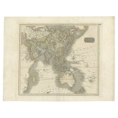
- Antique Map of Asia including Arabia, 1806Located in Langweer, NLAntique map titled 'Asia'. Original antique map of the Asian continent engraved by E. Jones. Artists and Engravers: Drawn under the direction of Mr. Arrowsmith. Published in 1806...Category
Antique 19th Century Maps
MaterialsPaper
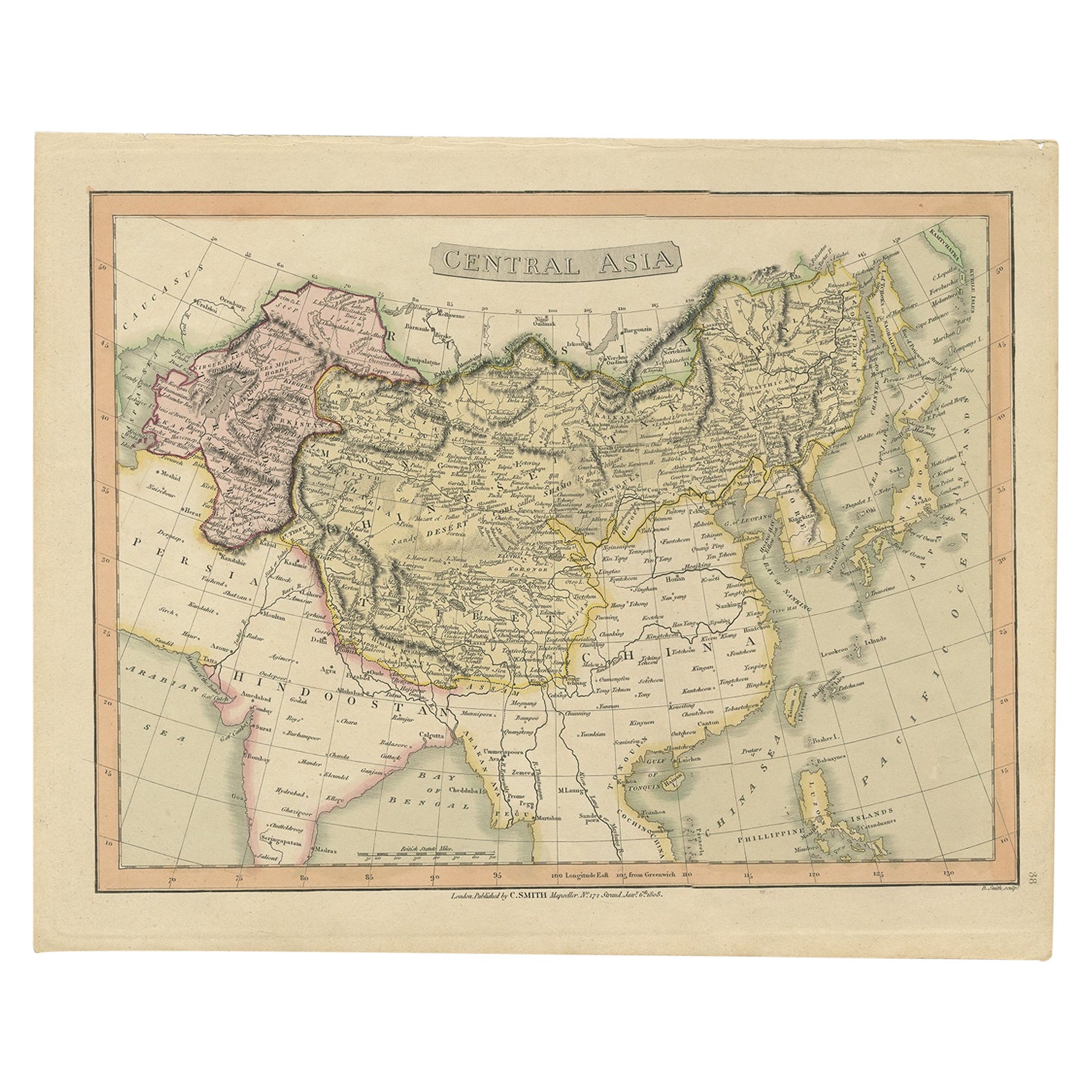
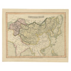
- Original Antique Map of Central Asia by Smith, 1808Located in Langweer, NLAntique map titled 'Central Asia'. Old map of central Asia originating from 'Smith's New General Atlas Containing Distinct Maps Of all the Principal Empires, Kingdoms, & States Throu...Category
Antique 19th Century Maps
MaterialsPaper
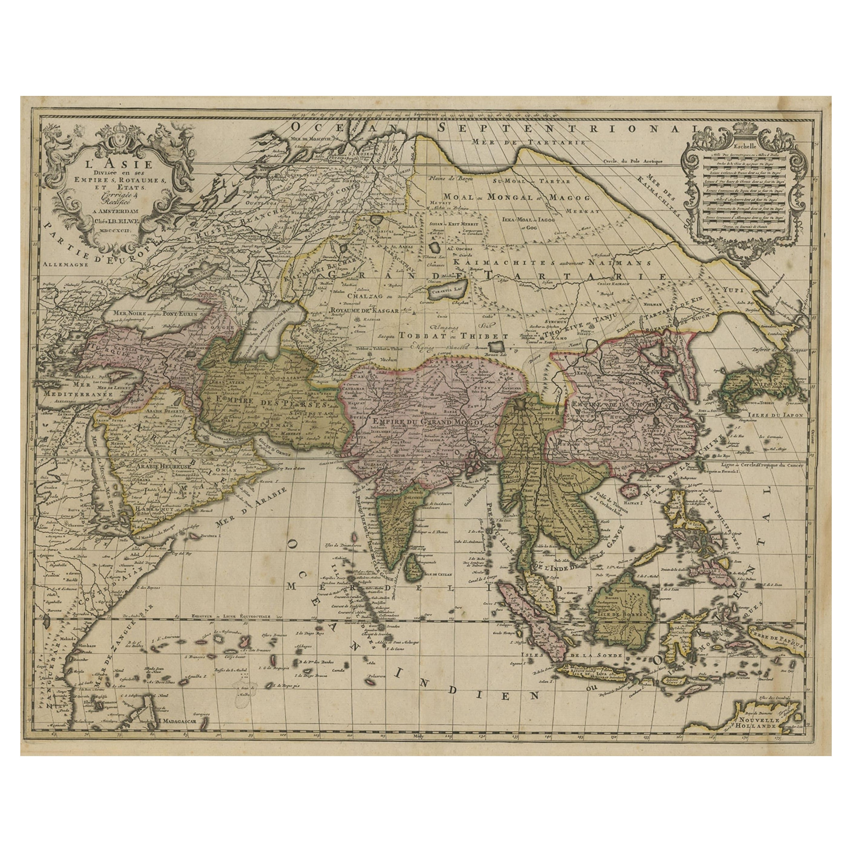
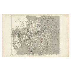
- Large Antique Map of Asia including All of Southeast Asia, c.1792Located in Langweer, NLAntique map titled 'L' Asie Divisee en ses Empires, Royaumes, et Etats'. Attractive, large map of Asia including all of Southeast Asia. The cartography is archaic for the period with...Category
Antique 18th Century Maps
MaterialsPaper
 $1,319 Sale Price20% OffFree Shipping
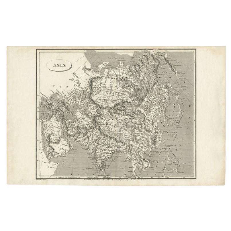
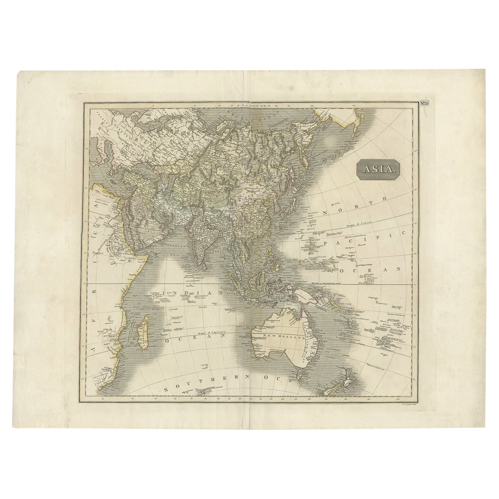
 - Antique Map of Asia Depicting Asia and Australia, c.1814Located in Langweer, NLAntique map titled 'Asia'. This map depicts Asia and Australia. Engraved by J. and G. Menzies and issued for Thomson's 'New General Atlas'. Artists and Engravers: John Thomson (1...Category
Antique 19th Century Maps
MaterialsPaper
 $307 Sale Price20% Off
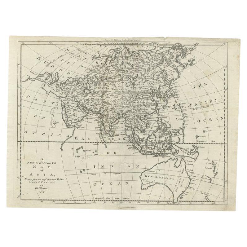
 - Antique Map of Asia and Australia with a Speculative Coastline, 1777Located in Langweer, NLAntique map titled 'A New & Accurate Map of Asia'. Detailed map of Asia and Australia, shows a still largely speculative Southern Australian coastline. Originates from Middleton's 'C...Category
Antique 18th Century Maps
MaterialsPaper
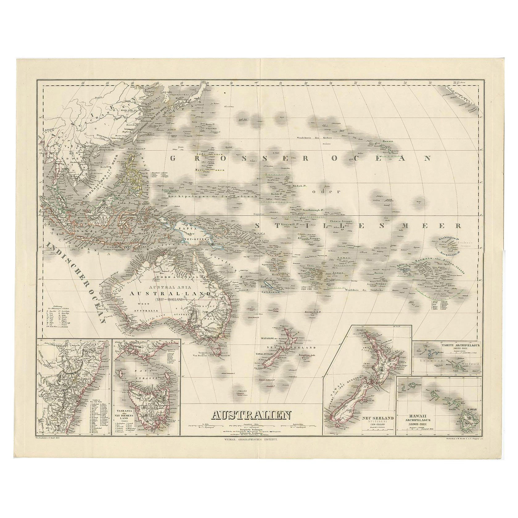
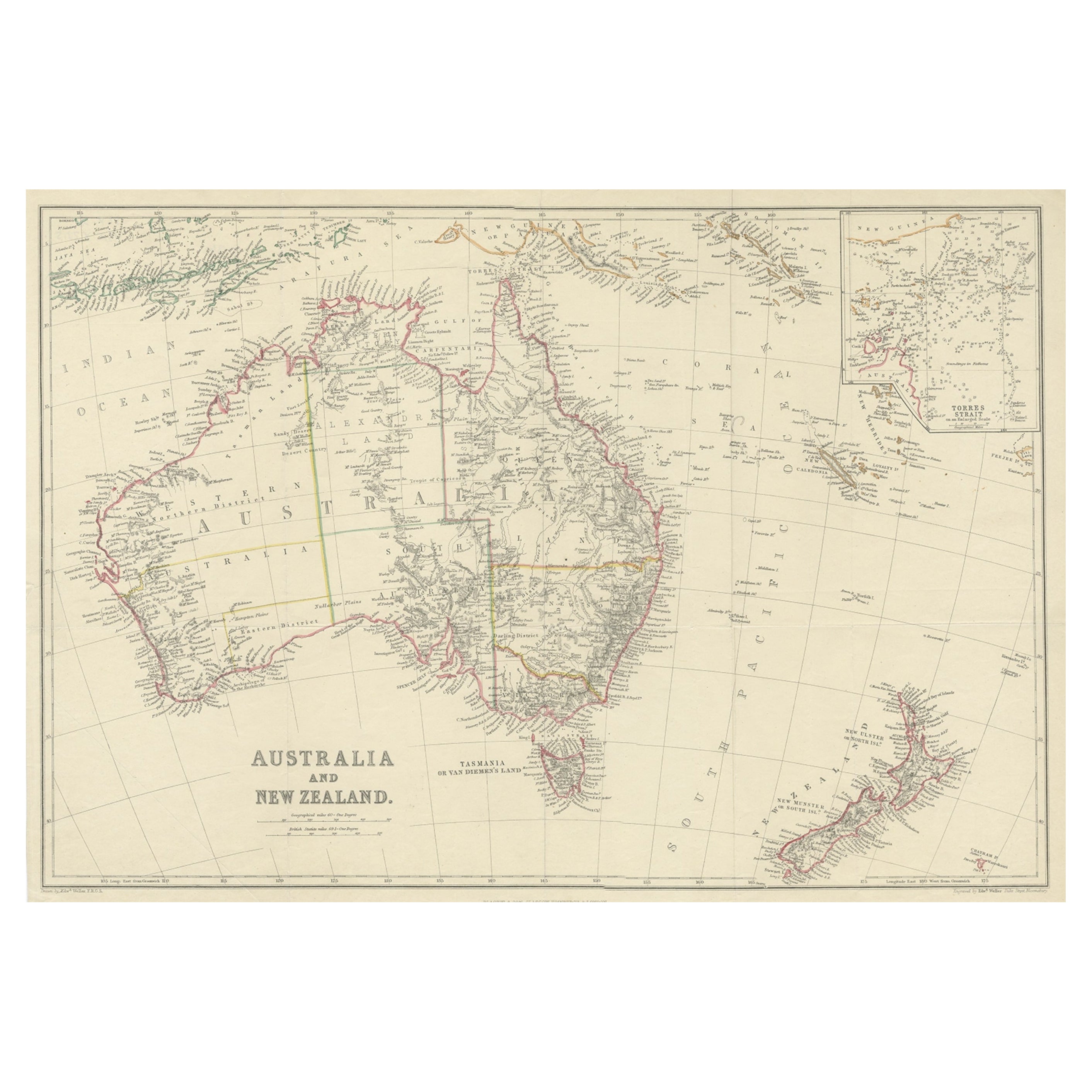
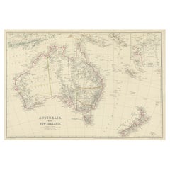
- Antique Map of Australia and New Zealand, c.1860Located in Langweer, NLAntique map titled 'Australia and New Zealand'. Unusual edition of this map of Australia and New Zealand, on very thin paper and multiple folding lines. Source unknown, to be determi...Category
Antique 19th Century Maps
MaterialsPaper
 $123 Sale Price20% Off
You May Also Like
- Antique French Map of Asia Including China Indoneseia India, 1783Located in Amsterdam, Noord HollandVery nice map of Asia. 1783 Dedie au Roy. Additional information: Country of Manufacturing: Europe Period: 18th century Qing (1661 - 1912) Condition: Overall Condition B (Good Used)...Category
Antique 18th Century European Maps
MaterialsPaper
 $648 Sale Price20% Off
 - Antique 1803 Italian Map of Asia Including China Indoneseia IndiaLocated in Amsterdam, Noord HollandAntique 1803 Italian Map of Asia Including China Indoneseia India Very nice map of Asia. 1803. Additional information: Type: Map Country of Manufacturing: Europe Period: 19th centu...Category
Antique 19th Century European Maps
MaterialsPaper
 $584 Sale Price20% Off
 - Original Antique Map of Asia. C.1780Located in St Annes, LancashireGreat map of Asia Copper-plate engraving Published C.1780 Two small worm holes to right side of map Unframed.Category
Antique Early 1800s English Georgian Maps
MaterialsPaper

- Large Original Antique Map of Australia, Fullarton, C.1870Located in St Annes, LancashireGreat map of Australia From the celebrated Royal Illustrated Atlas Engraved by Swanston after the drawing by Augustus Petermann Lithograph. Original color. Published by ...Category
Antique 1870s Scottish Maps
MaterialsPaper
- Large Original Vintage Map of New South Wales, Australia, circa 1920Located in St Annes, LancashireGreat map of New South Wales Original color. Good condition Published by Alexander Gross Unframed.Category
Vintage 1920s English Edwardian Maps
MaterialsPaper
- Original Antique Map of South East Asia, Arrowsmith, 1820Located in St Annes, LancashireGreat map of South East Asia Drawn under the direction of Arrowsmith Copper-plate engraving Published by Longman, Hurst, Rees, Orme and Brown, 1820 Unframed.Category
Antique 1820s English Maps
MaterialsPaper


Recently Viewed
View AllMore Ways To Browse
New Today
New World Map
New World Maps
Map London
Maps London
London Map
Antique Australia
Map Of London
Australian Designer Furniture
Australian Antiques
Australia 19th Century
Australian Antique Furniture
London Antique Map
London Map Antique
Antique Maps London
Antique London Maps
Antique London Map
Antique Map London