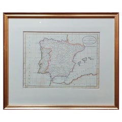
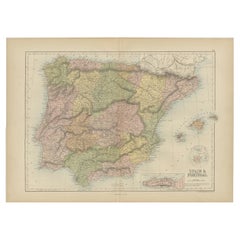
Antique Map of Spain and Portugal by Bayly, 'c.1795'
View Similar Items


Want more images or videos?
Request additional images or videos from the seller
1 of 5
Antique Map of Spain and Portugal by Bayly, 'c.1795'
About the Item
- Dimensions:Height: 15.16 in (38.5 cm)Width: 17.72 in (45 cm)Depth: 0.4 in (1 cm)
- Materials and Techniques:
- Period:
- Date of Manufacture:circa 1795
- Condition:Original folding lines. Frame included, shows some wear and a few small defects. Small defect on map, bottom left. Please study images carefully.
- Seller Location:Langweer, NL
- Reference Number:Seller: BG-072991stDibs: LU3054324091622
About the Seller
5.0
Platinum Seller
These expertly vetted sellers are 1stDibs' most experienced sellers and are rated highest by our customers.
Established in 2009
1stDibs seller since 2017
1,916 sales on 1stDibs
More From This SellerView All
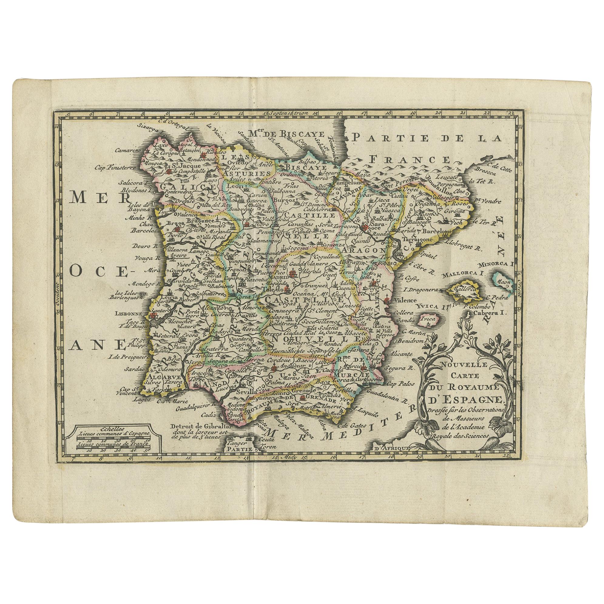
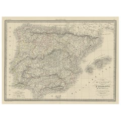
- Antique Map of Spain and Portugal by Tardieu, circa 1795Located in Langweer, NLThe image is an antique map titled "Hispanie Betique et Lusitanie", which depicts the Iberian Peninsula during the Roman times, highlighting the provinces of Hispania Baetica (Betiqu...Category
Antique Late 18th Century Maps
MaterialsPaper
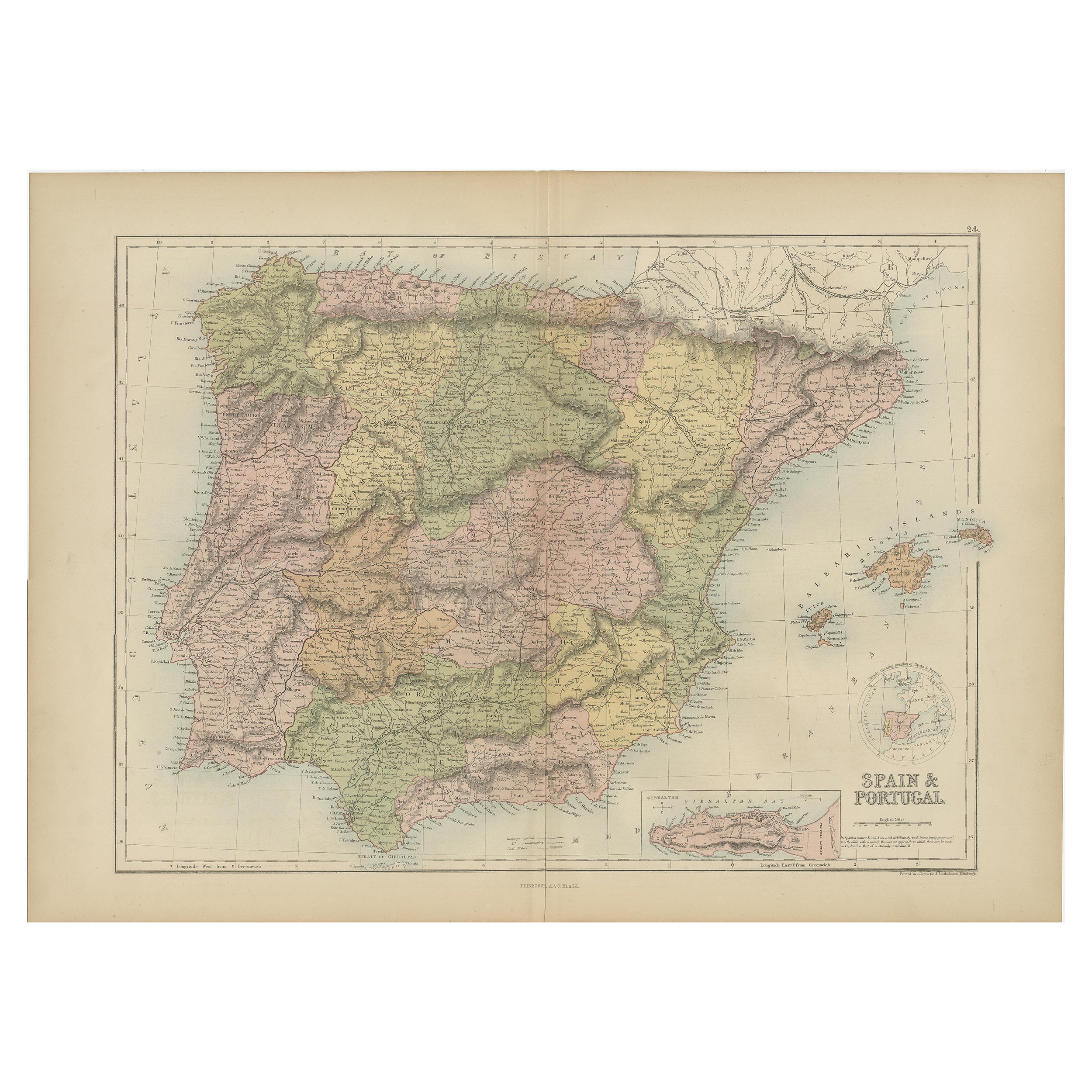
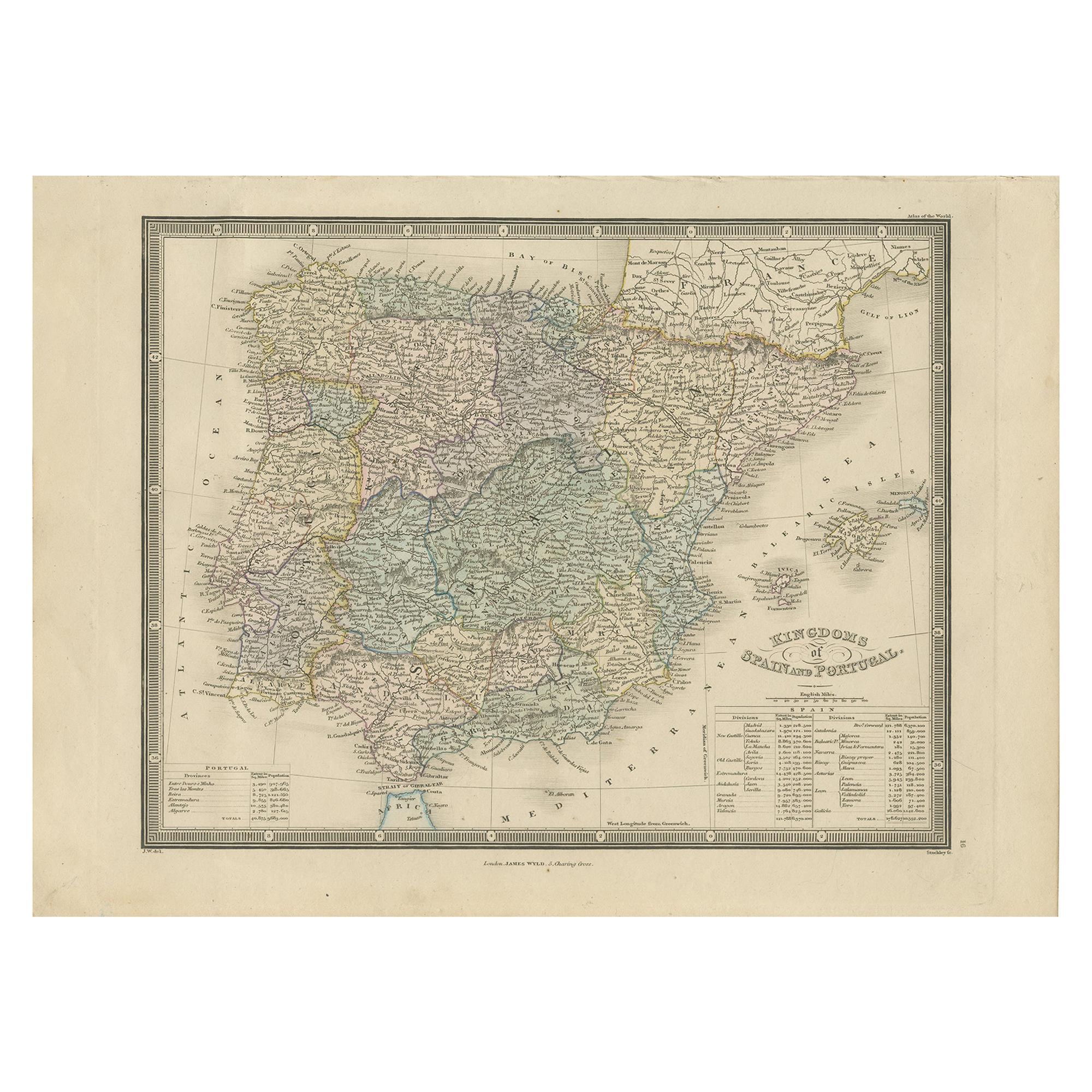
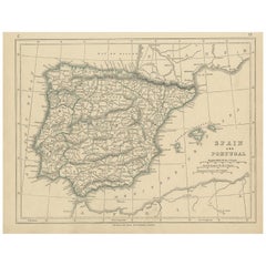
- Antique Map of Spain and Portugal by A & C. Black, 1870Located in Langweer, NLAntique map titled 'Spain and Portugal'. Original antique map of General map of Spain and Portugal with inset map of Gibraltar. This map originates from ‘Black's General Atlas of The...Category
Antique Late 19th Century Maps
MaterialsPaper
 $180 Sale Price40% Off
 - Antique Map of Spain and Portugal by Levasseur, '1875'Located in Langweer, NLAntique map titled 'Carte générale de l'Espagne et du Portugal (..)'. Large map of Spain and Portugal. This map originates from 'Atlas de Géographie Moder...Category
Antique Late 19th Century Maps
MaterialsPaper
 $328 Sale Price40% Off
 - Antique Map of Spain and Portugal by Lowry, '1852'Located in Langweer, NLAntique map titled 'Spain and Portugal'. Original map of Spain and Portugal. This map originates from 'Lowry's Table Atlas constructed and engraved ...Category
Antique Mid-19th Century Maps
MaterialsPaper
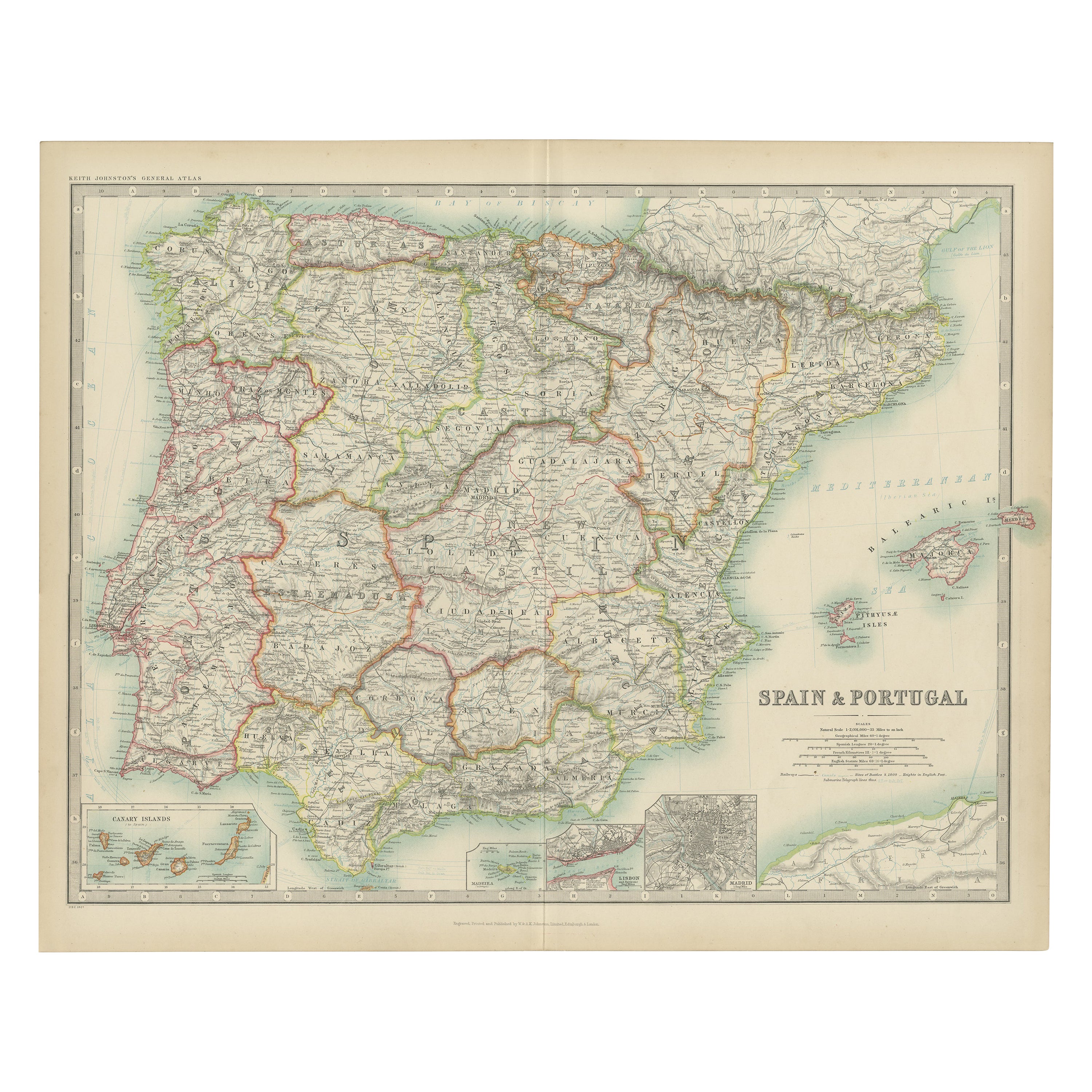
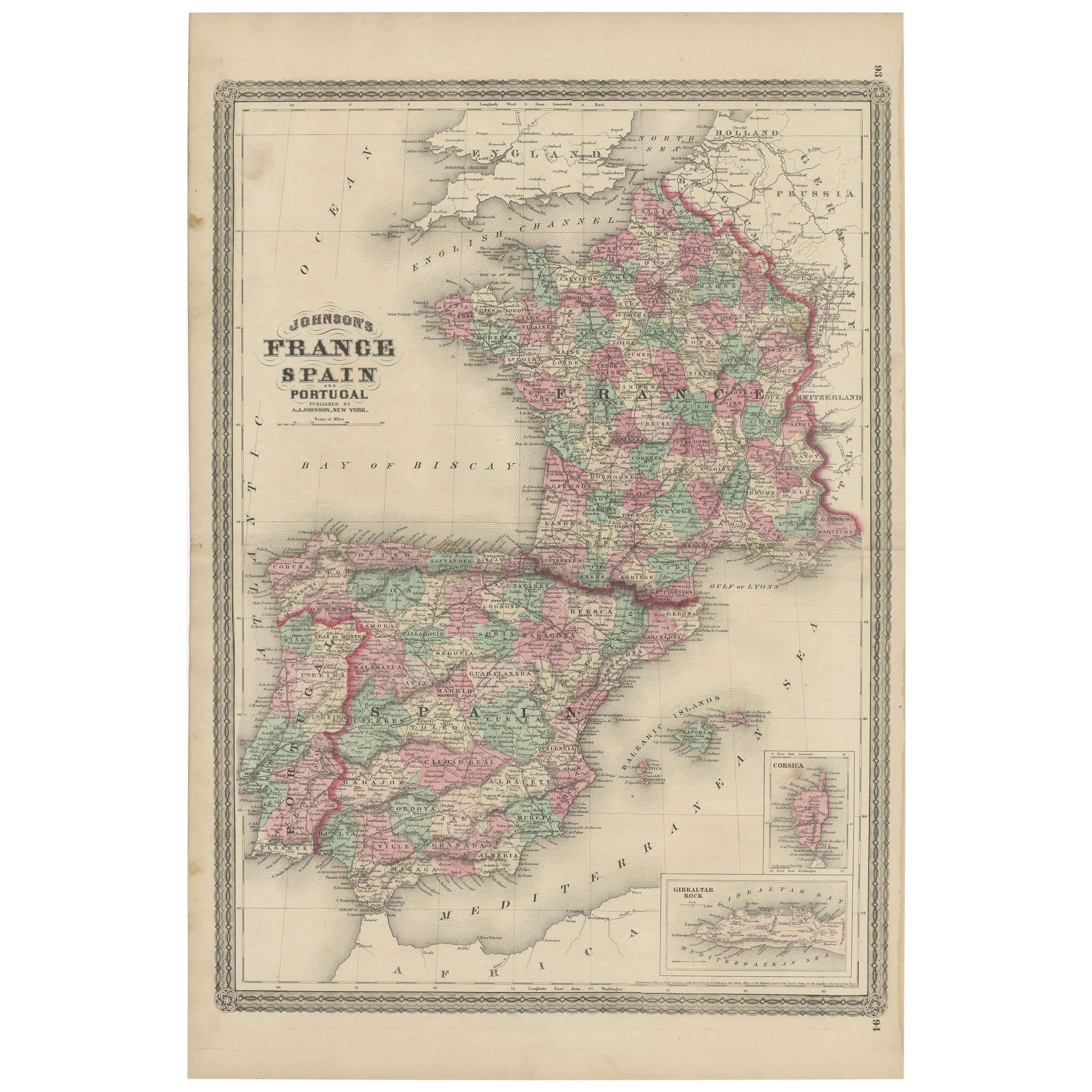
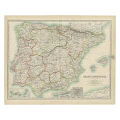
- Antique Map of Spain and Portugal by Johnston, '1909'Located in Langweer, NLAntique map titled 'Spain and Portugal'. Original antique map of Spain and Portugal. With inset maps of the Canary Islands, Madeira, Lisbon and Ma...Category
Early 20th Century Maps
MaterialsPaper
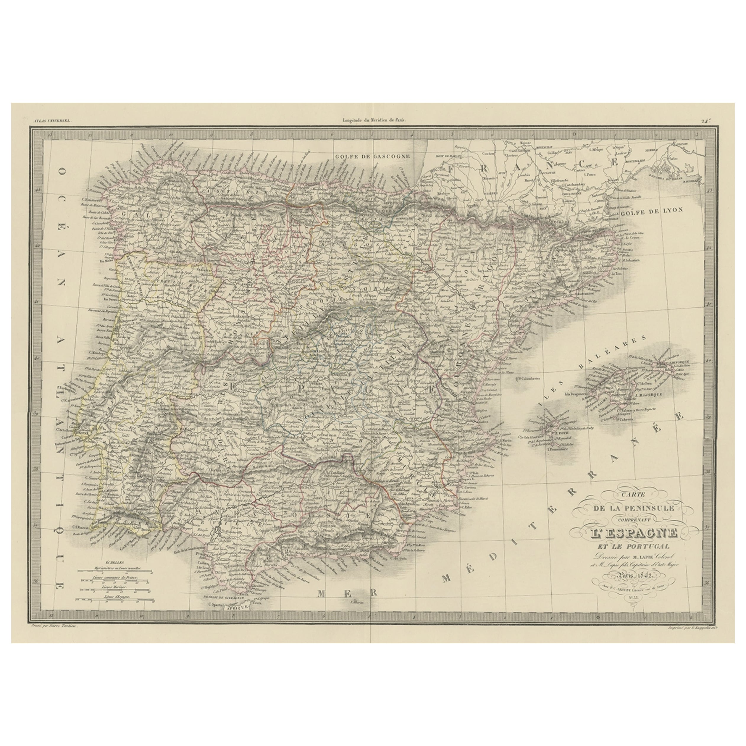
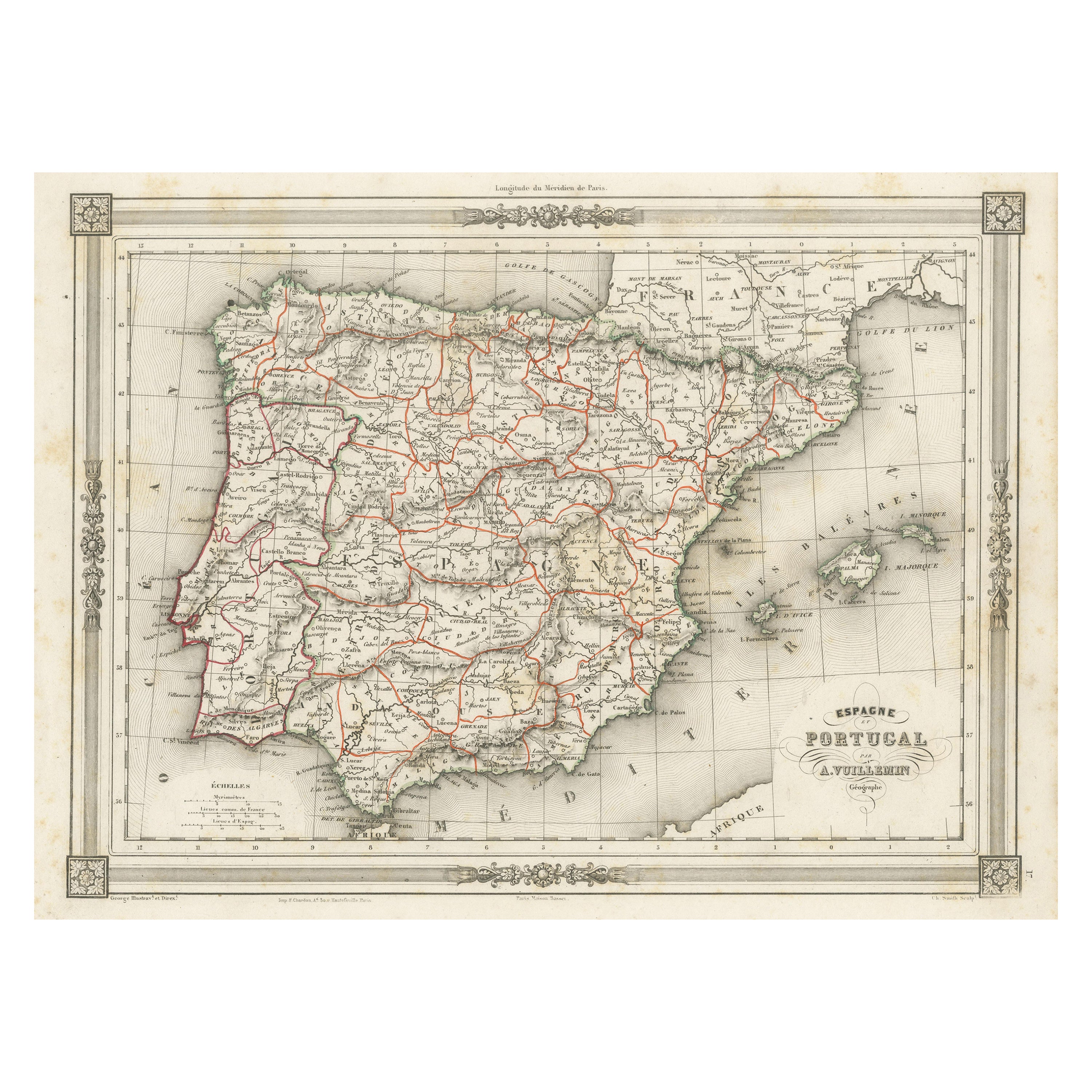
- Antique Decorative Map of Portugal and Spain, 1842Located in Langweer, NLAntique map titled 'Carte de la Peninsule comprenant l'Espagne et le Portugal'. Map of Spain and Portugal. This map originates from 'Atlas universel de géographie ancienne et mod...Category
Antique 1840s Maps
MaterialsPaper

You May Also Like
- Original Antique Map of Spain and Portugal by Thomas Clerk, 1817Located in St Annes, LancashireGreat map of Spain and Portugal Copper-plate engraving Drawn and engraved by Thomas Clerk, Edinburgh. Published by Mackenzie And Dent, 1817 Unframed.Category
Antique 1810s English Maps
MaterialsPaper
- Original Antique Map of Spain and Portugal, Engraved By Barlow, 1806Located in St Annes, LancashireGreat map of Spain And Portugal Copper-plate engraving by Barlow Published by Brightly & Kinnersly, Bungay, Suffolk. 1806 Unframed.Category
Antique Early 1800s English Maps
MaterialsPaper
- 18th Century Hand Colored Map of Spain and Portugal by VisscherBy Nicolaes Visscher IILocated in Alamo, CAThis is an early 18th century map of Spain and Portugal, with attractive original hand-coloring, entitled "Hispaniae et Portugalliae Regna per Nicolaum Visscher cum Privilegio Ordinu...Category
Antique Early 18th Century Dutch Maps
MaterialsPaper
- Portugal: A Large 17th Century Hand-colored Map by Sanson and JaillotBy Nicolas SansonLocated in Alamo, CAThis large hand-colored map entitled "Le Royaume de Portugal et des Algarves Divisee en see Archeveches, Eveches et Territoires Par le Sr Sanson" was originally created by Nicholas S...Category
Antique 1690s French Maps
MaterialsPaper
- 17th Century Hand-Colored Map of Valencia and Murcia, Spain by Mercator/HondiusBy Gerard MercatorLocated in Alamo, CAA 17th century hand-colored map entitled "Regni Valentiae Typus, Valentia and Murcia" by Gerard Mercator and Joducus Hondius, published in Amsterdam in 1635 in 'Cosmographicall Descr...Category
Antique Mid-17th Century Dutch Maps
MaterialsPaper
- Antique Map of Italy by Andriveau-Goujon, 1843By Andriveau-GoujonLocated in New York, NYAntique Map of Italy by Andriveau-Goujon, 1843. Map of Italy in two parts by Andriveau-Goujon for the Library of Prince Carini at Palazzo Carini i...Category
Antique 1840s French Maps
MaterialsLinen, Paper
 $3,350 / set


