Items Similar to Rare Map of Kildin Island in Russia Plus Engraving of Seal Hunting, 1614
Want more images or videos?
Request additional images or videos from the seller
1 of 8
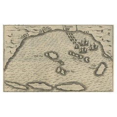
Rare Map of Kildin Island in Russia Plus Engraving of Seal Hunting, 1614
About the Item
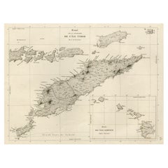
Insula Kilduyn. Orig. copper-engraving after details from J. H. van Linschoten's map taken from his account of the three expeditions undertaken by Willem Barents in 1594, in an attempt to discover a north-east passage to China. Kildin is a small Russian island in the Barents Sea. "Vera genuina indu' inscripted in the top.
The image on the verso show two small rowing boats with seal or whale hunters and the dangers that go with it.
From the Johan Isaac Pontanus & J. Hondius edition of 1614 - 'Historische beschrijvinghe der seer wijt beroemde coop-stadt Amsterdam'.
creator: Anoniem / Anonymous(engraver / etcher), Lodewijcksz, Willem(copied after)
period: 1614
material: paper
technique: engraving
measurements sheet of Kildin island: 9.5 x 7 inch ( 24x18 cm) - the engraving of the Seal Hunt is an inch bigger.
measurement map: 5.1 x 3.5 inch ( 13x9 cm ) - - the engraving of the Whale Hunt is an inch bigger.
The condition of the engravings itself is very good, Dutch text accompanying the engravings. The area around the engravings has (water) damage, brown spots and borders of the leaf are scuffy. Study the image of the larger leaf carefully.
- Dimensions:Height: 7.09 in (18 cm)Width: 9.45 in (24 cm)Depth: 0 in (0.02 mm)
- Materials and Techniques:
- Period:Early 17th Century
- Date of Manufacture:1614
- Condition:
- Seller Location:Langweer, NL
- Reference Number:
About the Seller
5.0
Platinum Seller
These expertly vetted sellers are 1stDibs' most experienced sellers and are rated highest by our customers.
Established in 2009
1stDibs seller since 2017
1,938 sales on 1stDibs
Typical response time: <1 hour
- ShippingRetrieving quote...Ships From: Langweer, Netherlands
- Return PolicyA return for this item may be initiated within 14 days of delivery.
More From This SellerView All
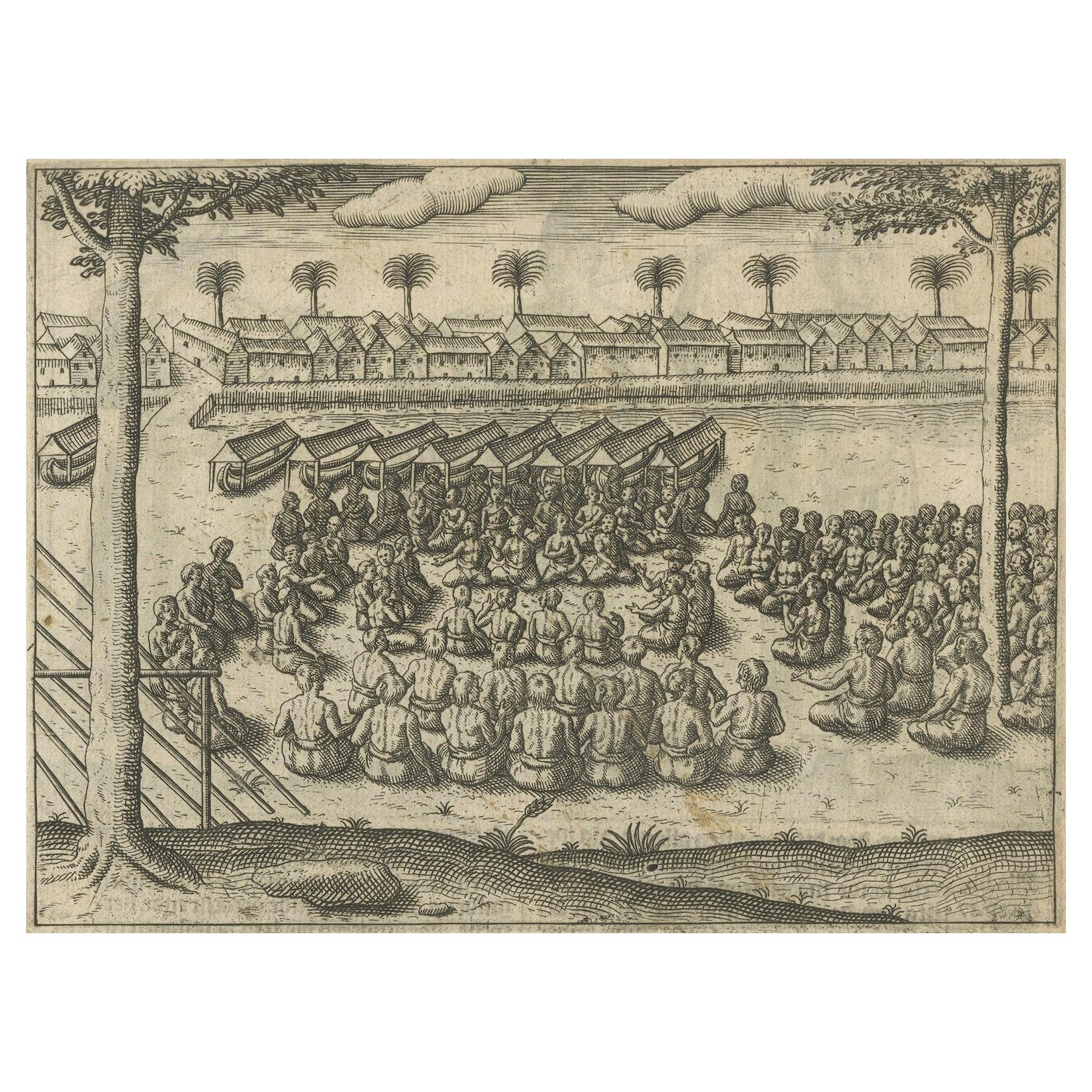
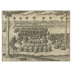
- Rare Engravings of Council of War in Bantam and Javanese Local Traders, 1614Located in Langweer, NLOne leaf with an engraving on each site and text in old Dutch. One side shows the War Council of the locals in Bantam and the other side show some vegetables traders of Bantam. B...Category
Antique Early 17th Century Maps
MaterialsPaper
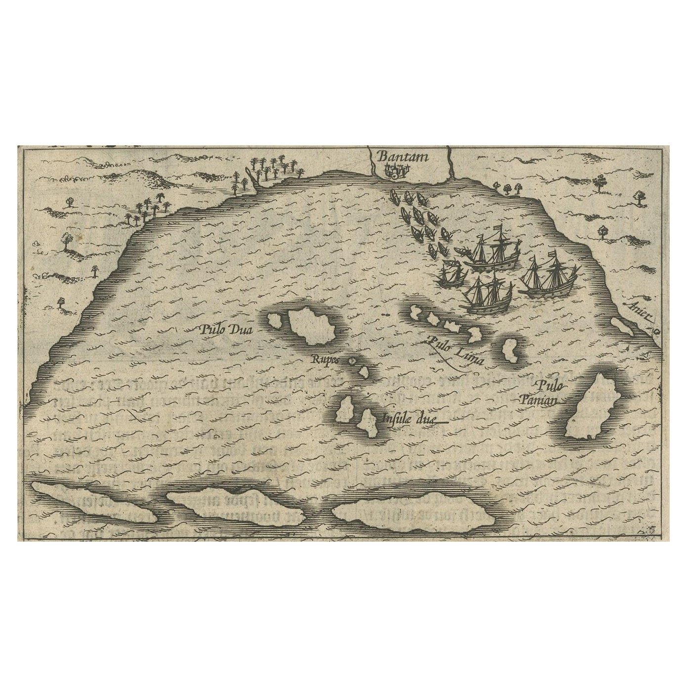
- Small Map of Bantam with Dutch Ships and an Engraving of Portugese, 1614Located in Langweer, NLTwo rare old miniature copper-engravings one one leaf. One showing the first arrival of the first Dutch in Indonesia, the so-called 'Houtman expedition' and on the reverse Portugese welcoming them with gifts. The First Dutch Expedition to Indonesia was an expedition that took place from 1595 to 1597. It was instrumental in the opening up of the Indonesian spice trade...Category
Antique Early 17th Century Maps
MaterialsPaper
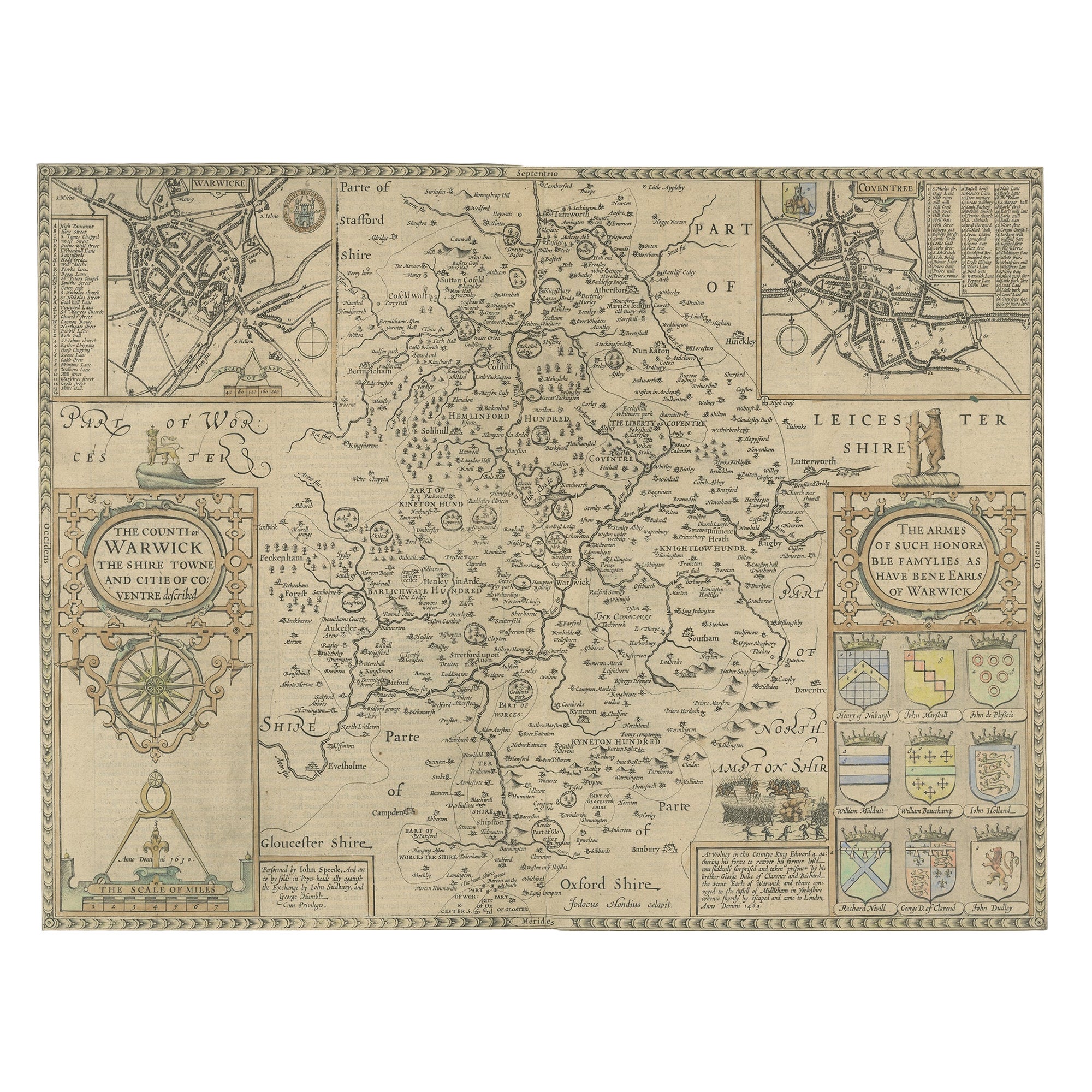
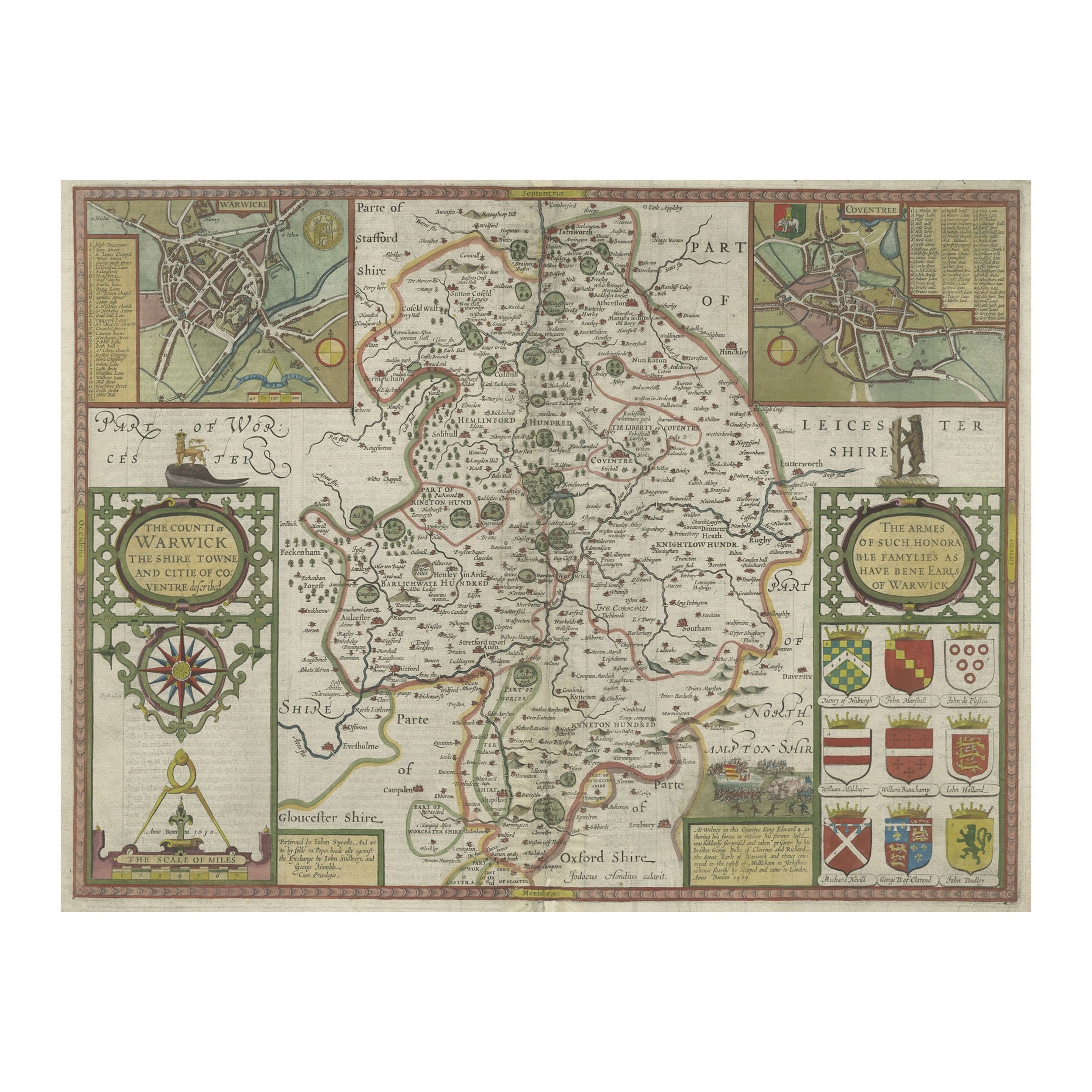
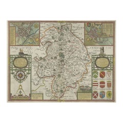
- Antique Map of Warwickshire in England by Speed, c.1614Located in Langweer, NLAntique map titled 'The Counti of Warwick the Shire Towne and Citie of Coventre described'. Map of Warwickshire, England. Includes inset town plans of Warwic...Category
Antique 17th Century Maps
MaterialsPaper
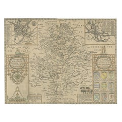
- Antique Map of Warwickshire by Speed, c.1614Located in Langweer, NLAntique map titled 'The Counti of Warwick (..)'. Map of Warwickshire, England. Includes inset town plans of Warwick and Coventry. This map originates from 'Theatre of Great Britaine'...Category
Antique 17th Century Maps
MaterialsPaper
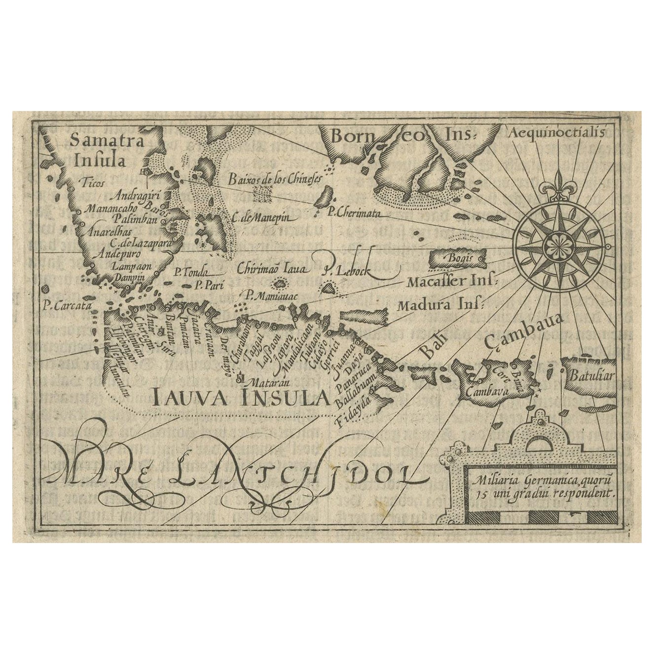
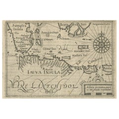
- Rare Small Map of Sumatra, Java, Borneo, Macassar, Madura, Bali, 1614Located in Langweer, NLOne of the first maps of the Indonesia islands of Java, Bali, Sumbawa etc. in early days of the Dutch Indies. Also showing Banten, Jakarta (Jacatra), Indr...Category
Antique Early 17th Century Maps
MaterialsPaper
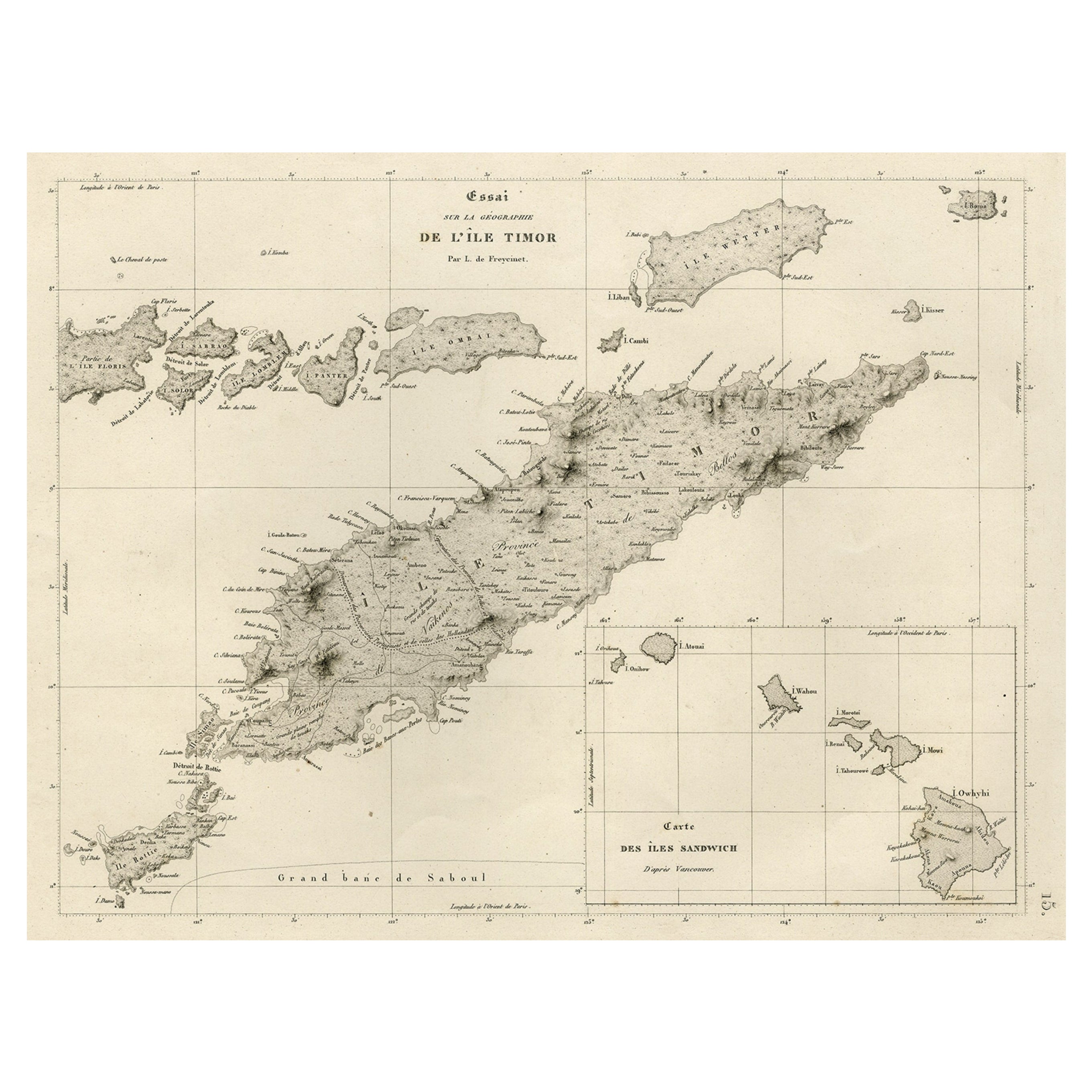
- Rare Antique Map with Timor and Nearby Islands Plus an Inset of Hawaii, 1825Located in Langweer, NLAntique map titled 'Essai sur la Geographie de l'Ile Timor.' A map showing Timor and the surrounding nearby islands (Floris, Sabrao, Solor, Lomblem, Panter, Ombai and Wetter. Wit...Category
Antique 1820s Maps
MaterialsPaper
You May Also Like
- Original Antique Map of Russia By Arrowsmith. 1820Located in St Annes, LancashireGreat map of Russia Drawn under the direction of Arrowsmith Copper-plate engraving Published by Longman, Hurst, Rees, Orme and Brown, 1820 Unframed.Category
Antique 1820s English Maps
MaterialsPaper
- Hand-Colored 18th Century Homann Map of Denmark and Islands in the Baltic SeaBy Johann Baptist HomannLocated in Alamo, CAAn 18th century copper plate hand-colored map entitled "Insulae Danicae in Mari Balthico Sitae utpote Zeelandia, Fionia, Langelandia, Lalandia, Falstria, Fembria Mona" created by Joh...Category
Antique Early 18th Century German Maps
MaterialsPaper
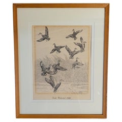
- Rare Lynn Bogue Hunt Engraving of Ducks Unlimited, 1940By Lynn Bogue HuntLocated in Dallas, TXPresenting a Rare Lynn Bogue Hunt engraving of ducks unlimited 1940. This piece cam from a wealthy estate in Dallas, TX with the mansion being built...Category
Mid-20th Century American Sporting Art Prints
MaterialsPaper
- St. Christophe 'St. Kitts' Island: An 18th Century Hand-colored Map by BellinBy Jacques-Nicolas BellinLocated in Alamo, CAJacques Bellin's copper-plate map of the Caribbean island of Saint Kitts entitled "Carte De De l'Isle St. Christophe Pour servir á l'Histoire Genle. des V...Category
Antique Mid-18th Century French Maps
MaterialsPaper
- Map of the Republic of GenoaLocated in New York, NYFramed antique hand-coloured map of the Republic of Genoa including the duchies of Mantua, Modena, and Parma. Europe, late 18th century. Dimension: 25...Category
Antique Late 18th Century European Maps
- Antique Map of Principality of MonacoBy Antonio Vallardi EditoreLocated in Alessandria, PiemonteST/619 - "Old Geographical Atlas of Italy - Topographic map of ex-Principality of Monaco" - ediz Vallardi - Milano - A somewhat special edition ---Category
Antique Late 19th Century Italian Other Prints
MaterialsPaper