Mammoth Tusk - North Sea Europe - Last Ice Age
View Similar Items


1 of 2
Mammoth Tusk - North Sea Europe - Last Ice Age
About the Item
- Dimensions:Height: 43.31 in (110 cm)Diameter: 6.3 in (16 cm)
- Place of Origin:
- Period:
- Date of Manufacture:Unknown
- Condition:Wear consistent with age and use.
- Seller Location:Antwerp, BE
- Reference Number:1stDibs: LU95795648793
You May Also Like
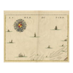
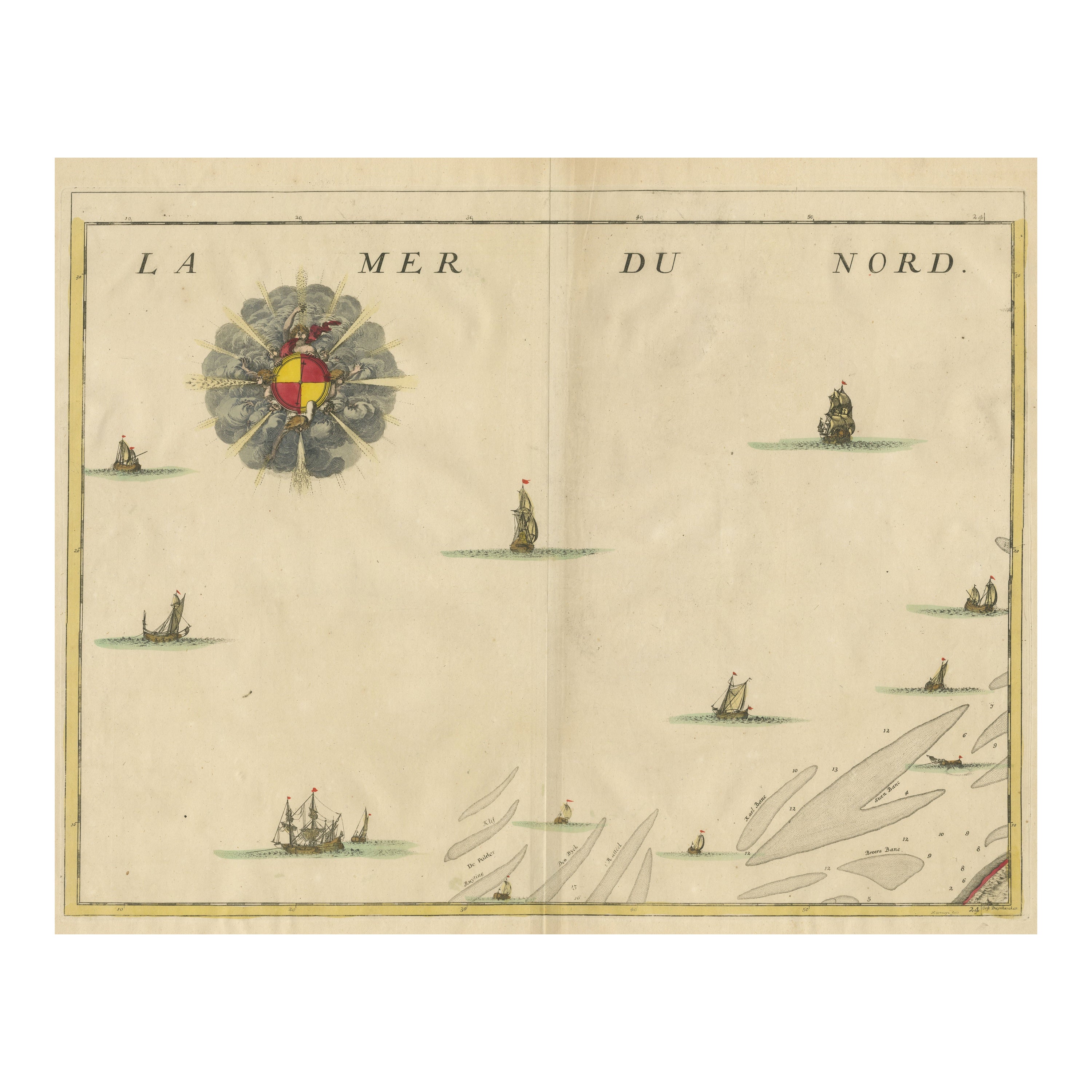
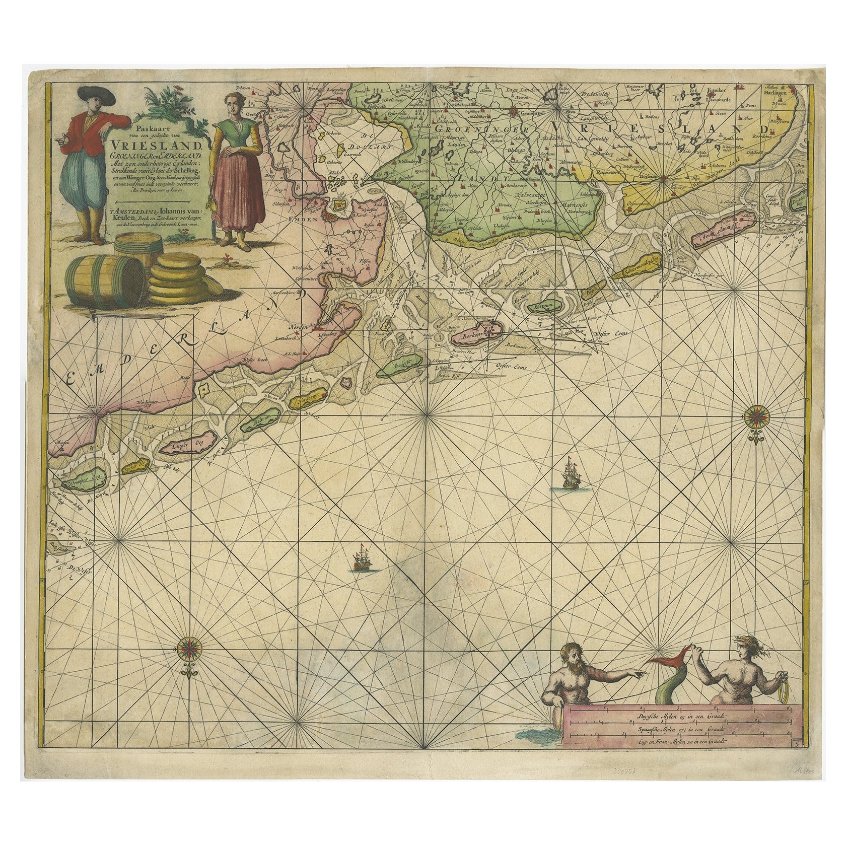
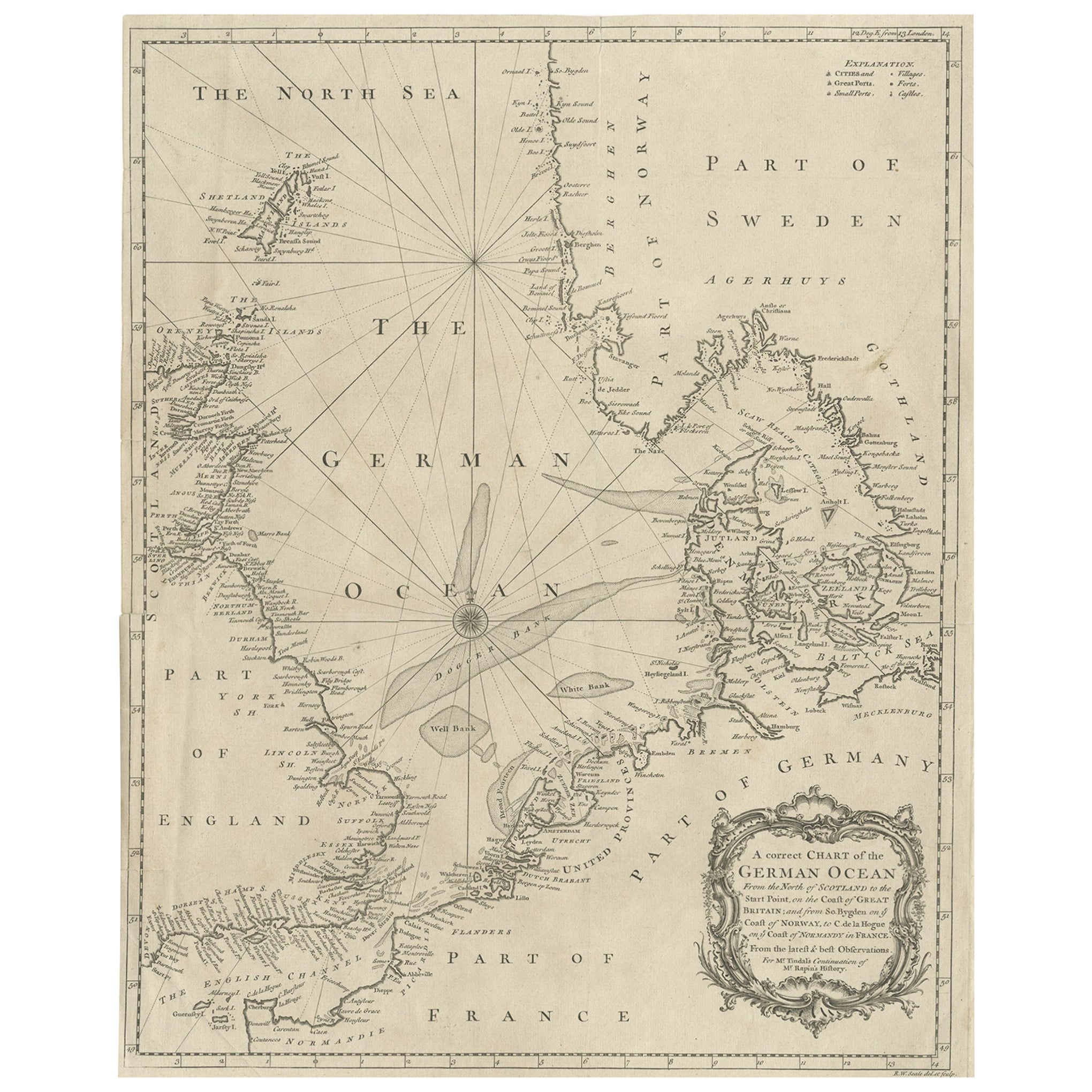
- Antique Map of the North Sea and DunkirkLocated in Langweer, NLUntitled map of the North Sea, top left a large compass rose, bottom right Dunkirk (Duinkerke / Dunkerque), France. Part of a bundled collection of plans of battles and cities renown...Category
Antique Early 18th Century Maps
MaterialsPaper
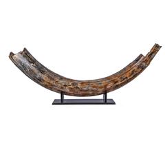
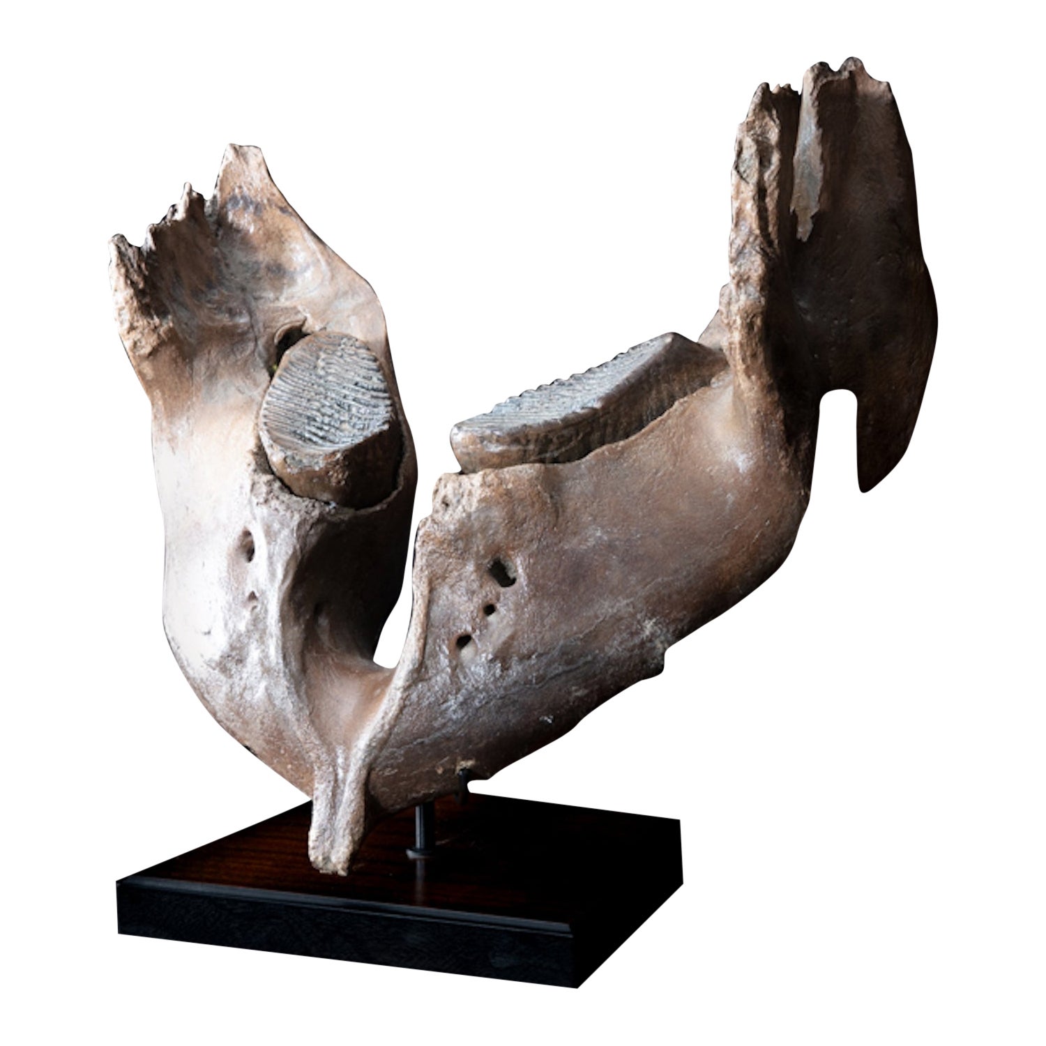
- Mammoth under JawLocated in BAARN, UTMammutus Primigenius. Approx. 50 thousand years old. Fishermen sailing fish and scrape the bottom with trawls and find bones and tusks from mammoths, for example, in addition to ...Category
Antique 15th Century and Earlier German Nautical Objects
MaterialsOther
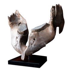 $16,475
 - Narwhal TuskLocated in Paris, FRNarwhal tusk Monodon Monoceros Height: 99 in. / 250 cm Provenance: Greenland CITES Annexe 2B / Denmark.Category
20th Century Nautical Objects
MaterialsIvory
 $60,410
 - 17th Century Norther European Wrought Iron Pestle, 8.5 InchesLocated in Stamford, CTUnusual wrought iron pestle, most are bronze like most mortars. This one is at least 17th century, quite possibly dating to the Gothic period. I have owned two iron mortars in my ti...Category
Antique Early 17th Century German Baroque Scientific Instruments
MaterialsWrought Iron
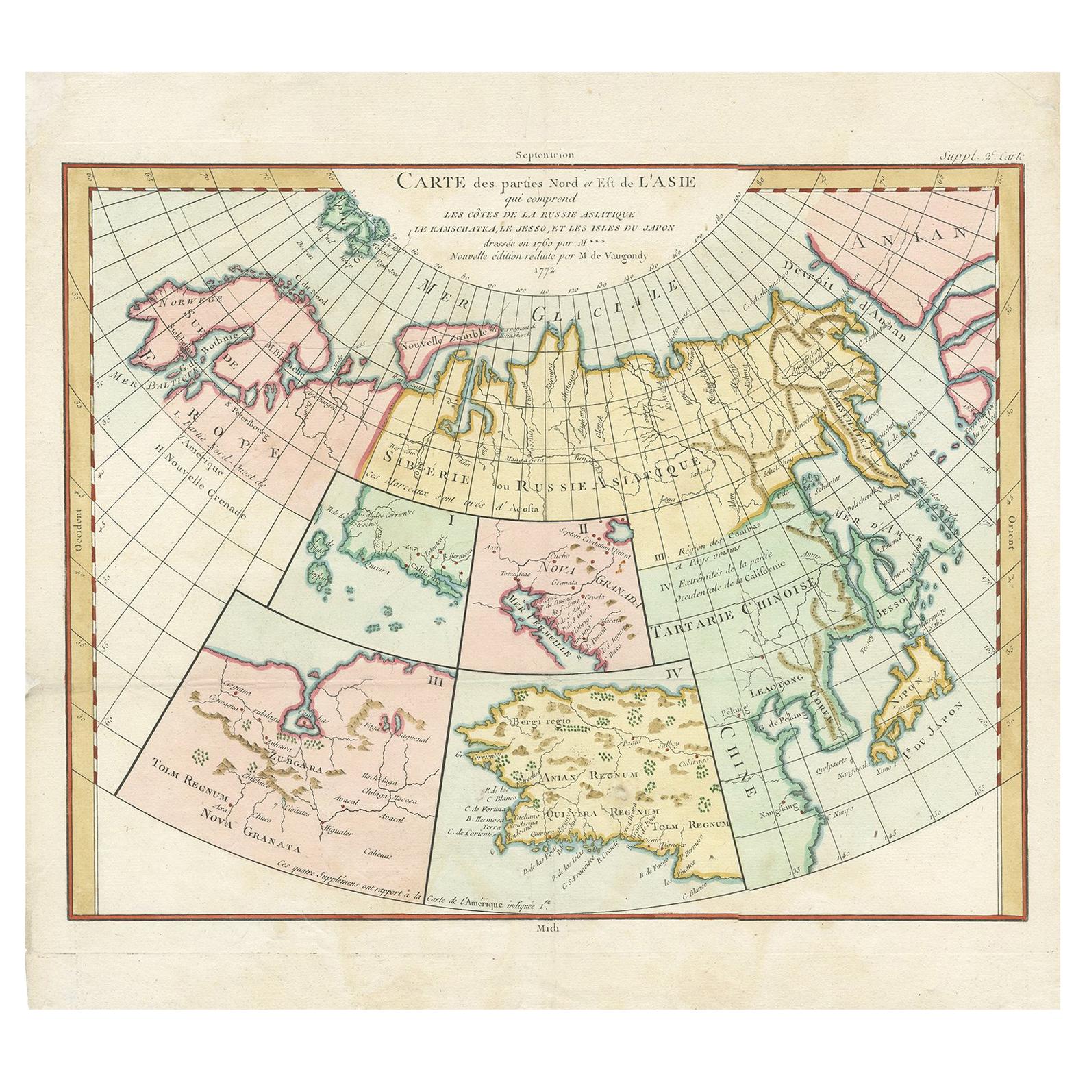
- Antique Sea Chart of North America by Ottens, circa 1745Located in Langweer, NLAntique map titled 'Septemtrionaliora Americae a Groenlandia (..)'. Sea chart of the northern waters of North America, including the coast of Labrador and pa...Category
Antique Mid-18th Century Maps
MaterialsPaper

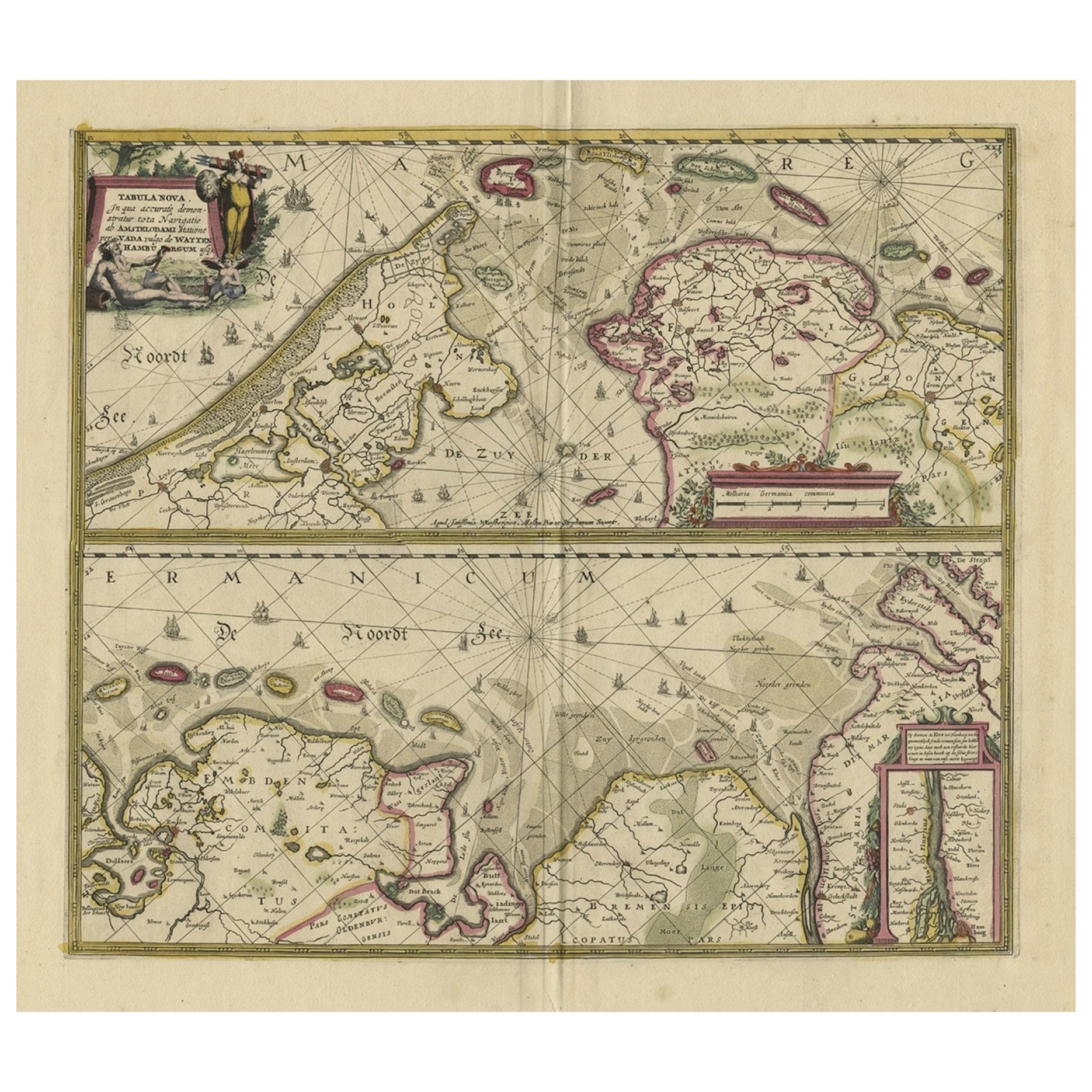
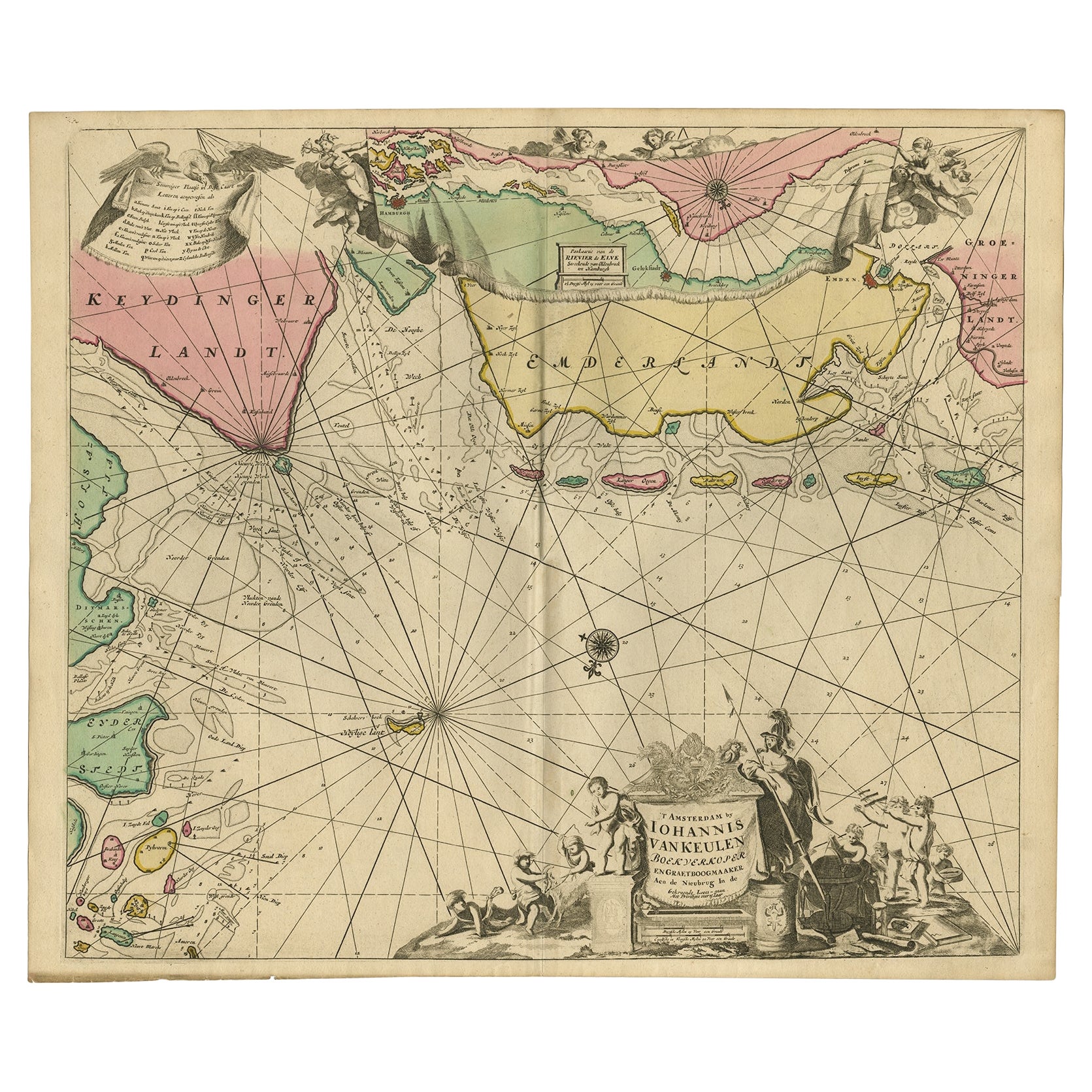
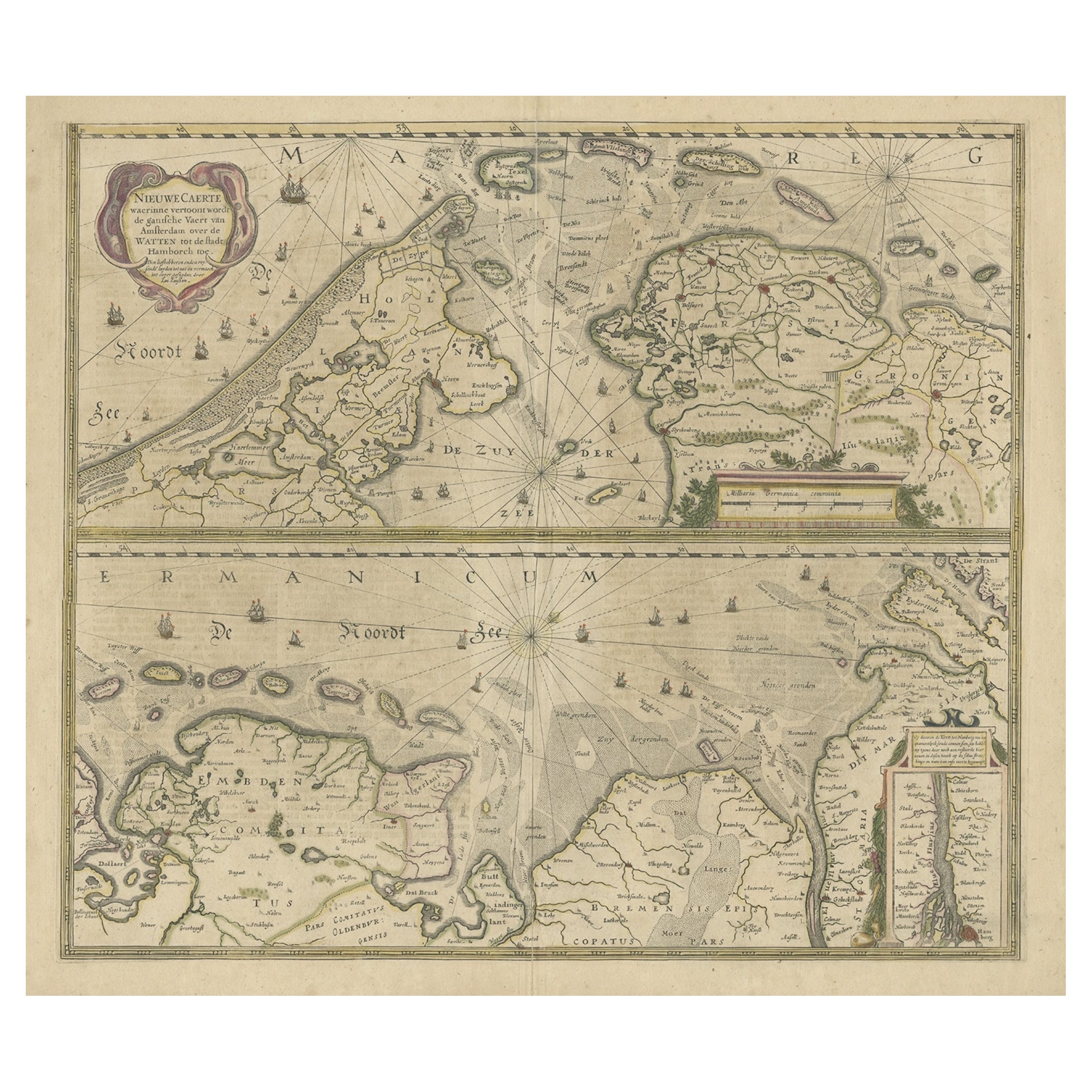
- Rare Sea Chart of the East Frisian Islands or Watten and the North Sea, c.1700Located in Langweer, NLDescription: Antique map titled 'Paskaarte van de rievier de Elve streckende van Oldenbroek tot Hamburgh.' Rare and interesting chart of the East Frisian Islands (or Watten) and ...Category
Antique Early 1700s Maps
MaterialsPaper
 $1,625 Sale Price20% Off